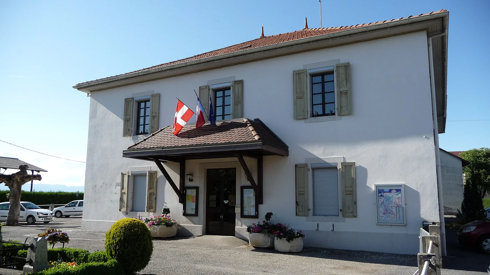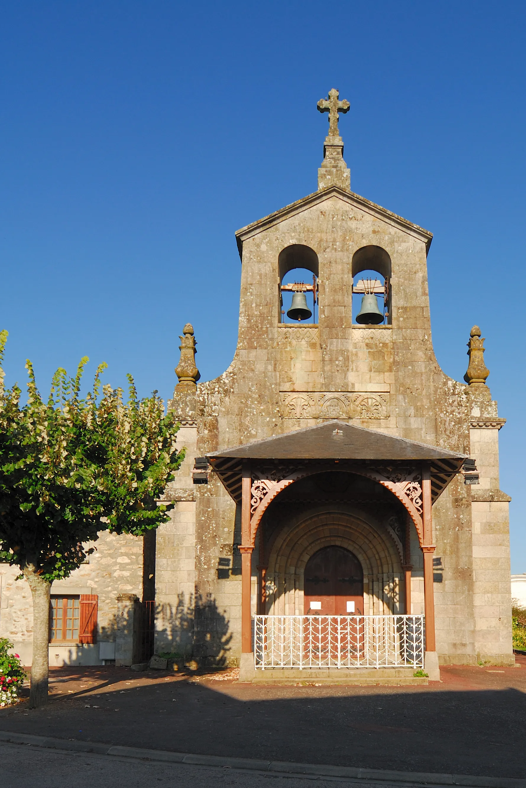
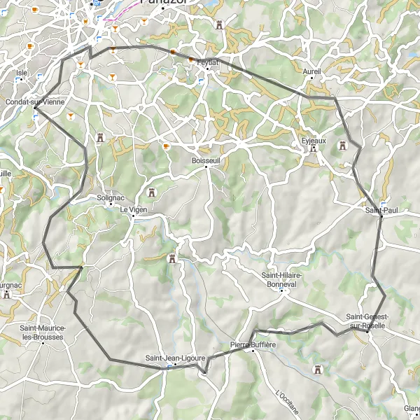
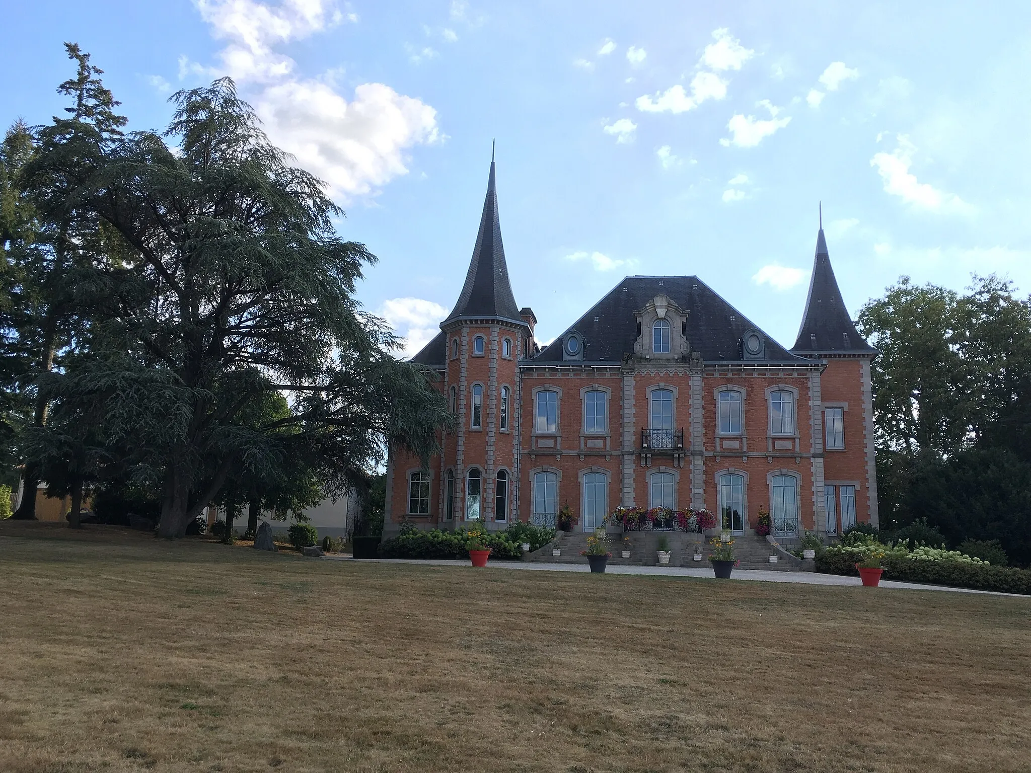
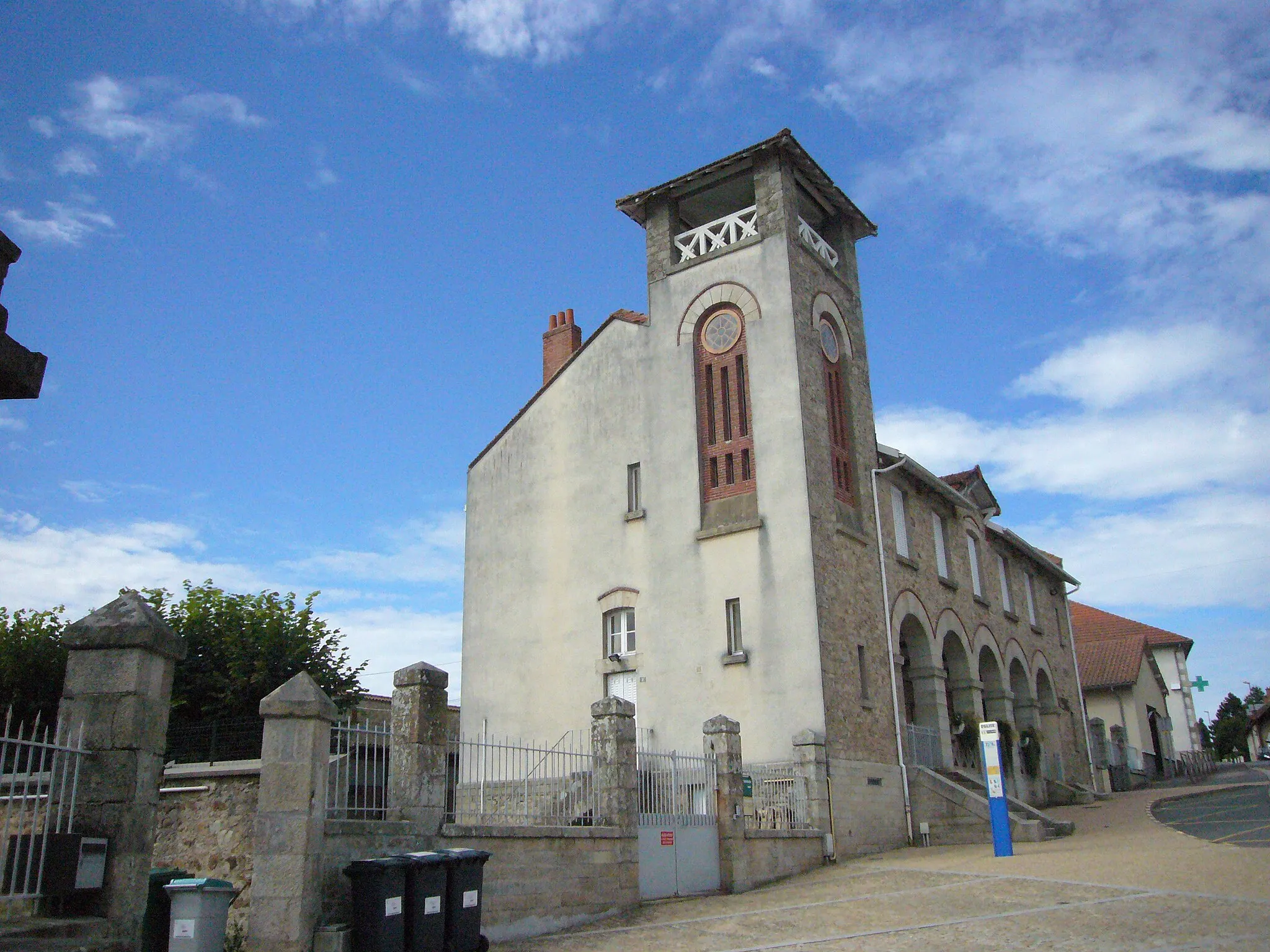
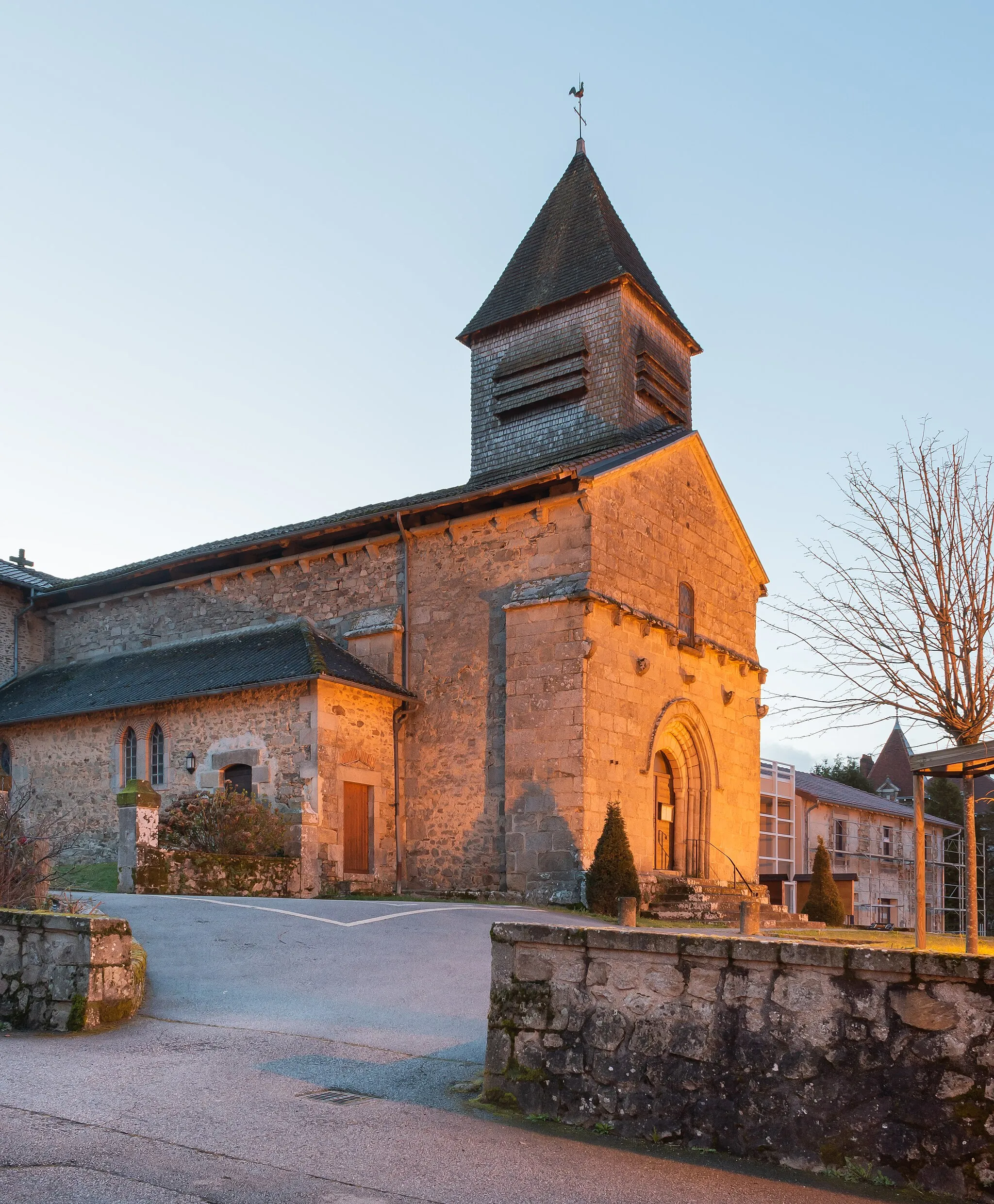
Tranquil cycling amidst the beauty of Limousin in Condat-sur-Vienne.
Cycling routes from Condat-sur-Vienne
Condat-sur-Vienne, located in the Limousin region of France, offers a mix of flat land and rolling hills, making it suitable for both road and gravel cyclists. While it may not be home to any famous cycling spots or climbs, Condat-sur-Vienne provides a tranquil cycling experience amidst beautiful natural surroundings. The local paths and rural roads offer plenty of opportunities for exploration, allowing cyclists to immerse themselves in the charming Limousin countryside. Overall, Condat-sur-Vienne is a hidden gem for cycling enthusiasts looking to enjoy peaceful rides in a picturesque setting.
Island Tour
Discover the scenic beauty of Limousin's island region
Explore the picturesque countryside of Limousin with this circular route. With a total distance of 78 kilometers and an ascent of 1004 meters, this road cycling adventure is suitable for well-trained amateurs. The route begins in Condat-sur-Vienne and takes you through charming towns and villages such as Solignac, Janailhac, Ladignac-le-Long, and Saint-Martin-le-Vieux, before ending back in Isle. Along the way, you'll encounter stunning landscapes and rolling hills that showcase Limousin's natural beauty.

Thrilling gravel adventure starting from Condat-sur-Vienne
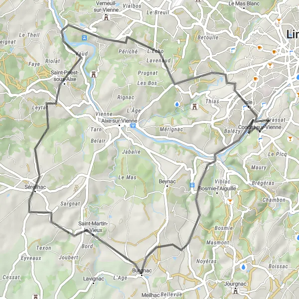
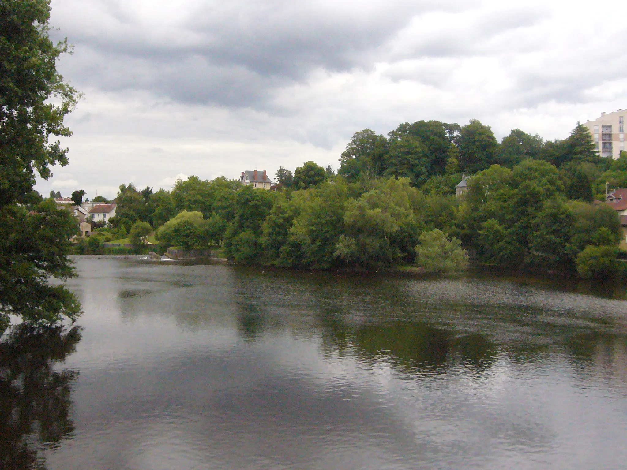
Embrace the off-road adventure with this gravel cycling route, covering a distance of 70 kilometers and an ascent of 901 meters. Starting from Condat-sur-Vienne, you'll explore the rugged beauty of the Limousin region. Well-suited for cyclists seeking a mix of challenging terrains and stunning landscapes, this route promises an unforgettable experience. Highlights along the route include Verneuil-sur-Vienne, offering panoramic views of the river and surrounding countryside, and Montjovis, a historic hilltop village providing a glimpse into the region's past.
Limoges and Puy Climbs

Experience the thrill of challenging climbs near Limoges
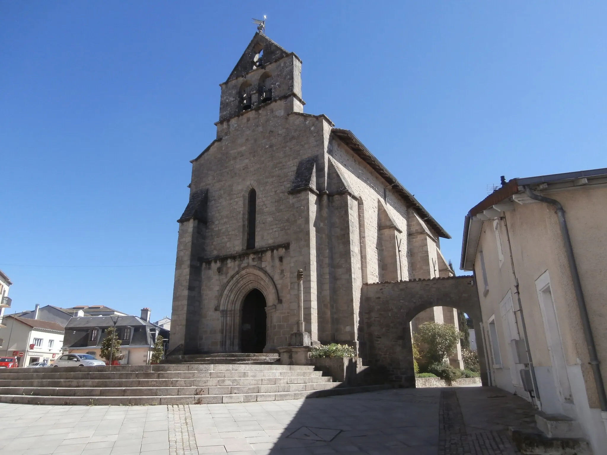
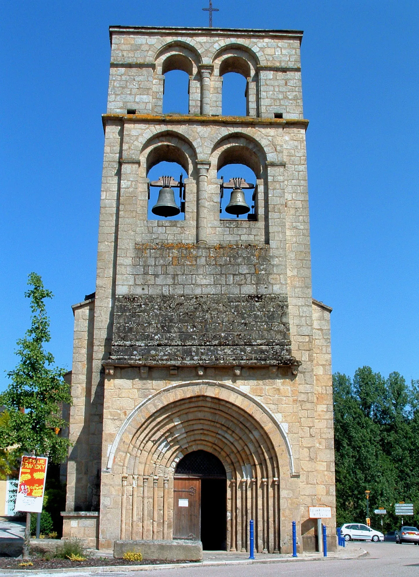
Prepare for an exhilarating cycling journey full of challenging ascents and thrilling descents near Limoges. This road cycling route covers a distance of 157 kilometers and features an ascent of 2609 meters, making it suitable for experienced and well-trained cyclists seeking a demanding adventure. Along the way, you will pass through towns and villages that showcase the region's cultural heritage and magnificent landscapes. As you cycle through Limoges, take a moment to appreciate its historical treasures. Marvel at the panoramic views from Montjovis and enjoy the tranquil beauty of Bonnac-la-Côte. Puy de Linard and Puy des sept Fonts offer majestic natural landscapes which highlight the area's natural allure. The route ends in Solignac, a picturesque town with a rich history and beautiful abbey. Overall, this challenging cycling itinerary offers a thrilling experience for climbers and adventurers.
Gravel Adventure
Embark on an off-road gravel adventure in rural Limousin
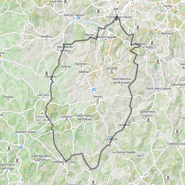
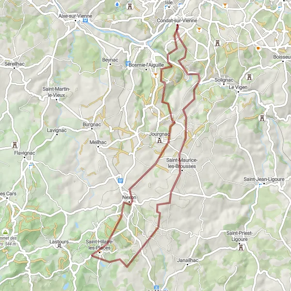
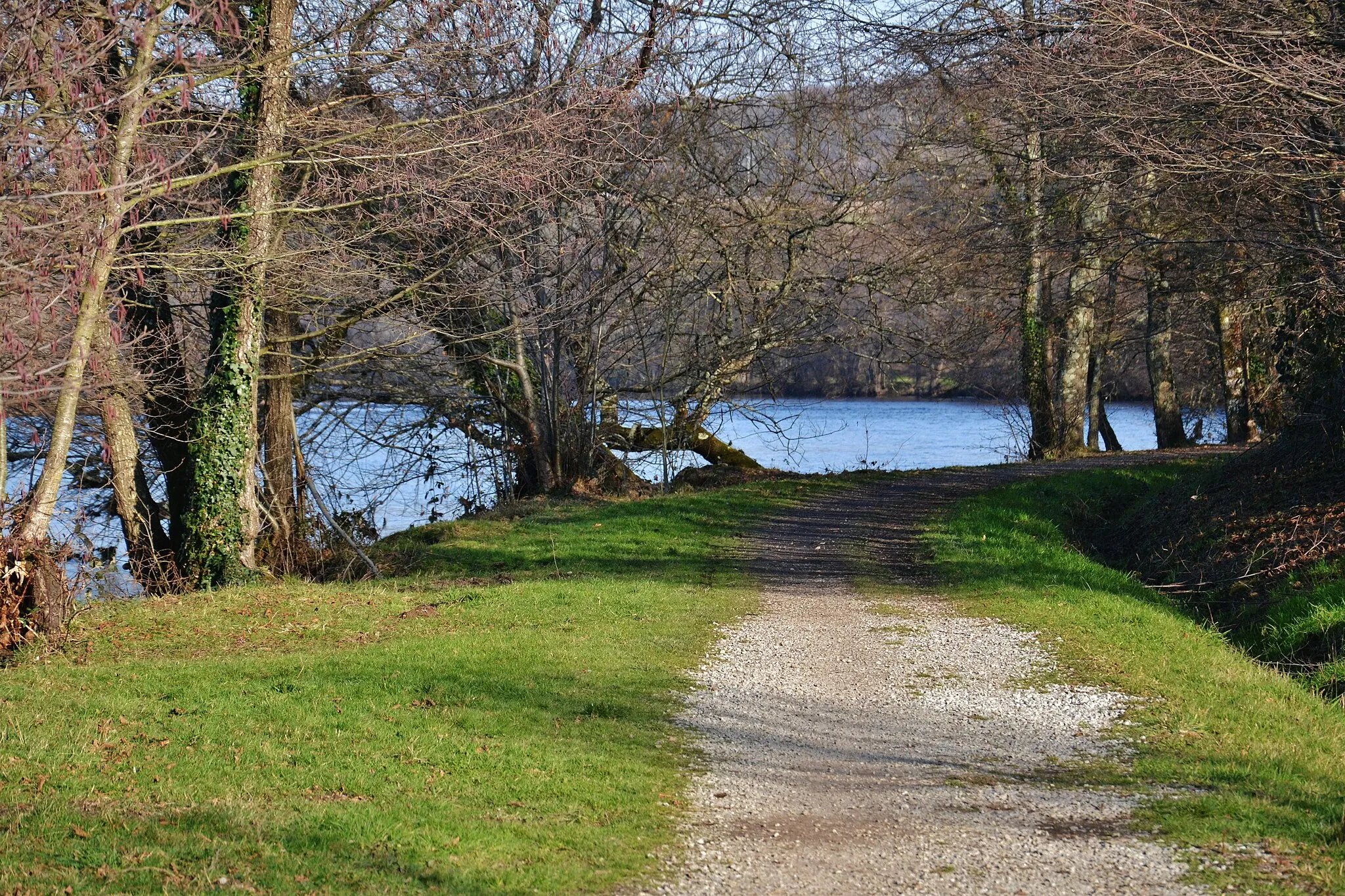
Escape the beaten path and discover the rugged beauty of Limousin's countryside with this gravel cycling route. Covering a distance of 49 kilometers with an ascent of 687 meters, this adventure is suitable for experienced gravel cyclists. Starting in Condat-sur-Vienne, the itinerary takes you through Jourgnac, Nexon, Saint-Maurice-les-Brousses, and concludes back in Condat-sur-Vienne. Along the way, you'll trace gravel paths that wind through forests, fields, and rolling hills, offering peace and solitude amidst nature's beauty. Enjoy the thrill of off-road cycling and immerse yourself in the untamed landscapes as you navigate through Limousin's gravel adventure.
A scenic road cycling route passing through charming towns
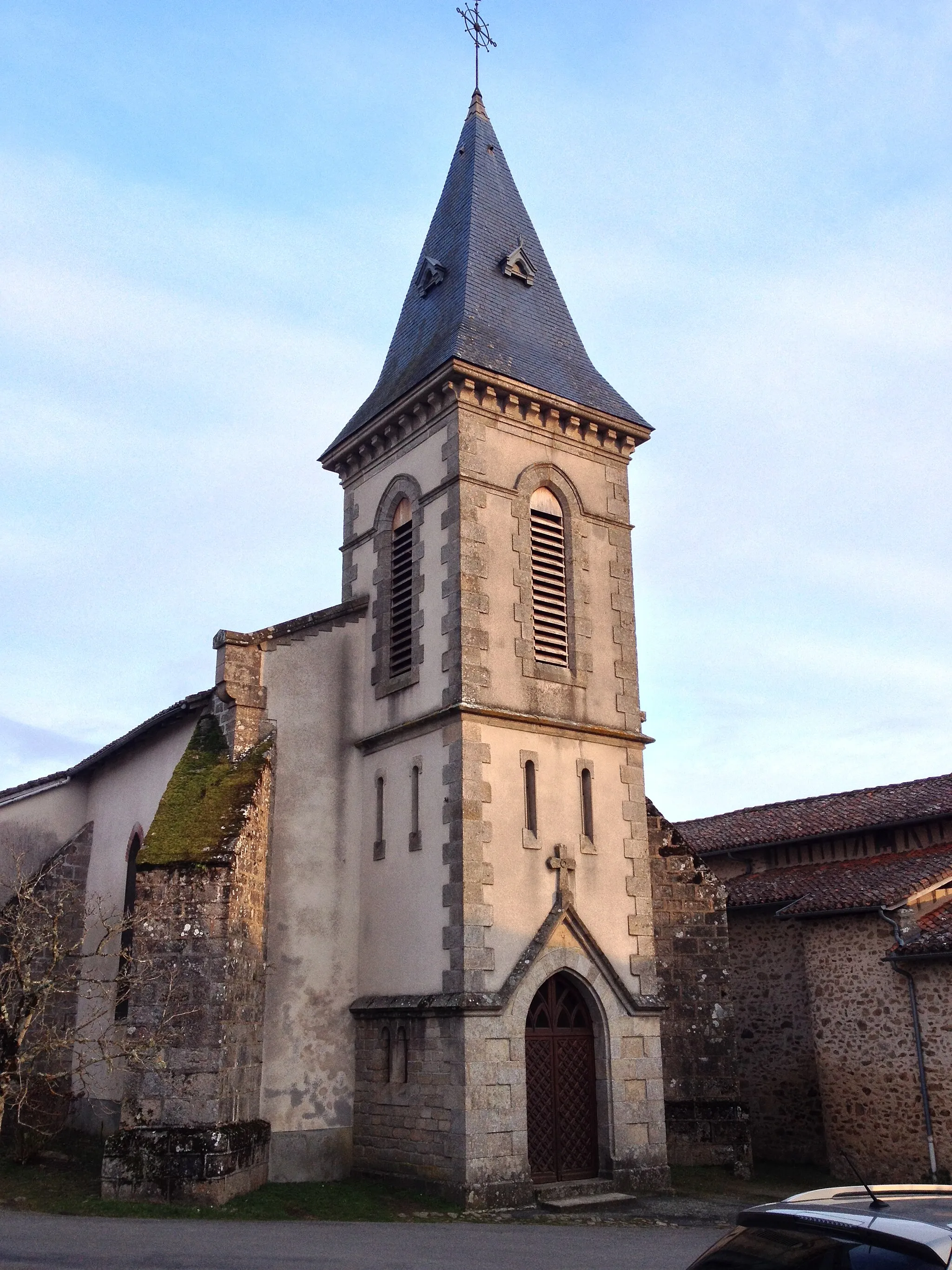
This road cycling route takes you through picturesque countryside and charming towns, offering a truly enjoyable and varied experience. With a total ascent of 914 meters over a distance of 60 kilometers, this route provides a manageable challenge for well-trained amateur cyclists. The Limousin region's natural beauty can be fully appreciated as you cycle along. Among the highlights along the way, make sure to visit Feytiat, known for its beautiful architecture, and Saint-Genest-sur-Roselle, with its rich history. Overall, this route offers a delightful combination of beautiful landscapes and cultural attractions.

Scenic road cycling route from Condat-sur-Vienne to Cognac-la-Forêt
Explore the scenic landscapes of Limousin on this road cycling route from Condat-sur-Vienne to Cognac-la-Forêt. Covering a distance of 78 kilometers and an ascent of 1205 meters, this route is suitable for well-trained amateurs seeking moderate challenges. Highlights along the route include Beynac, known for its picturesque streets and medieval charm, as well as Cognac-la-Forêt, a charming village surrounded by enchanting forests and nature trails.

Scenic road cycling route from Condat-sur-Vienne to Les Hauts de Condat
Take on the challenging road cycling route from Condat-sur-Vienne to Les Hauts de Condat and experience breathtaking views and thrilling descents. With a total distance of 116 kilometers and an ascent of 1399 meters, this route is recommended for well-trained amateurs seeking a memorable cycling adventure. Highlights along the route include Aixe-sur-Vienne, a quaint town known for its traditional architecture and picturesque scenery, and the stunning Table d'orientation offering panoramic views of the surrounding countryside from its elevated location.
Scenic road cycling route through Condat-sur-Vienne and Isle
This road cycling route takes you from Condat-sur-Vienne to Isle, passing through picturesque villages and beautiful countryside. With a total distance of 51 kilometers and an ascent of 720 meters, the route offers a moderate challenge for well-trained amateurs. The highlight of the route includes Saint-Martin-le-Vieux, a charming village situated about 17 kilometers from the starting point.

Embark on a thrilling gravel expedition to explore the picturesque landscapes and historic highlights of Limoges.
This 79-kilometer long gravel route starting near Condat-sur-Vienne takes you on an adventurous journey through Limousin. Experience the natural beauty of the region as you traverse rolling hills and charming villages. The route presents a moderate level of difficulty suitable for well-trained amateur cyclists. Epicness is guaranteed with the captivating highlights along the way.

Embark on a thrilling mountainous adventure in Limousin
Get ready for an exhilarating cycling experience with this challenging route that spans 128 kilometers and includes an ascent of 1858 meters. Designed for experienced cyclists, this road biking tour will challenge you both physically and mentally. Starting in Condat-sur-Vienne, the route takes you through diverse landscapes, including forests, mountains, and scenic valleys. Along the way, you'll pass through Burgnac, Châlus, Saint-Barthélemy-de-Bussière, Saint-Mathieu, Saint-Auvent, Verneuil-sur-Vienne, and finally Isle. Throughout the journey, you'll encounter breathtaking views and test your endurance as you tackle steep climbs and thrilling descents.
Cycling routes nearby:
Nearby regions: