Discovering the industrial heritage and tranquil landscapes of Freyming-Merlebach.
Cycling routes from Freyming-Merlebach
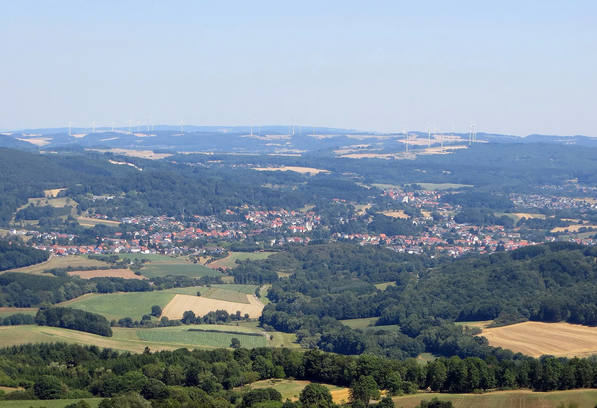
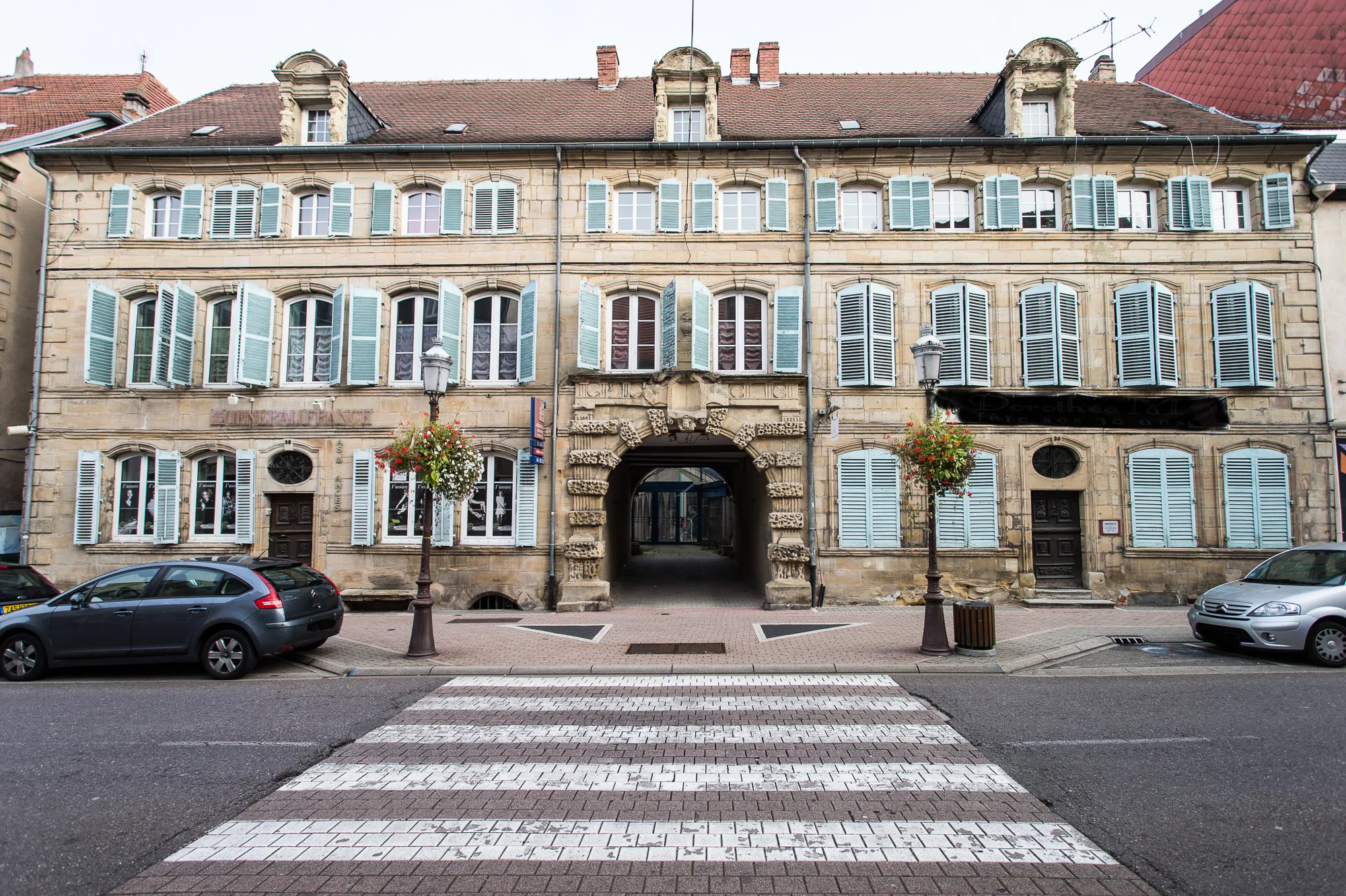
Freyming-Merlebach is located in the Lorraine region of France, known for its rich industrial history. From a cyclist's perspective, Freyming-Merlebach provides moderate cycling opportunities. The area features a mix of urban, suburban, and rural landscapes, allowing for varied cycling experiences. Cyclists can explore the town's historical landmarks while also venturing into the surrounding countryside for more peaceful rides. Despite not having any famous cycling-related spots or renowned climbs close by, Freyming-Merlebach offers an enjoyable cycling experience with its diverse scenery.
Gravel Route: Merlebach Loop
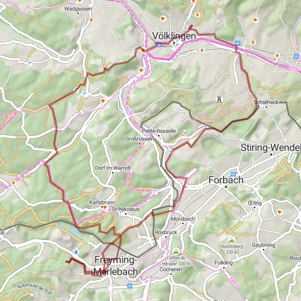
Explore the highlights of Merlebach on this off-road adventure
This 52-kilometer gravel route takes you on a scenic journey through the beautiful landscapes near Freyming-Merlebach. With a total ascent of 811 meters, expect some rolling hills and challenging sections. The route features several highlights, including the picturesque town of Steinberg, the high point of Hohe Berg, and the historical Völklingen Ironworks.
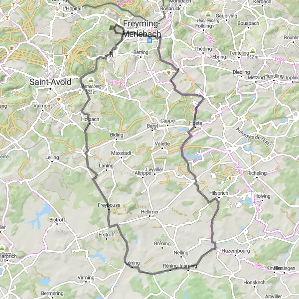
Immerse yourself in the captivating landscapes of Freyming-Lorraine on this road cycling route.
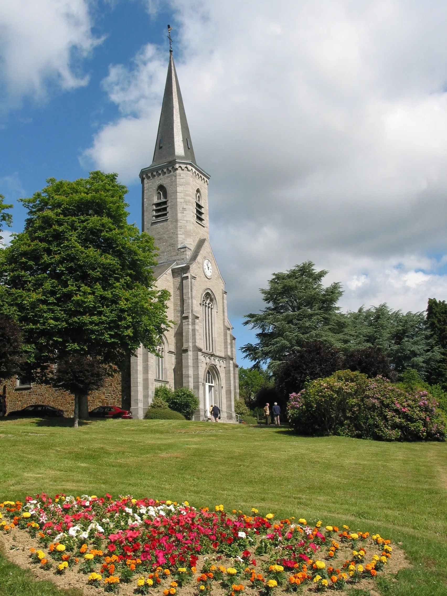
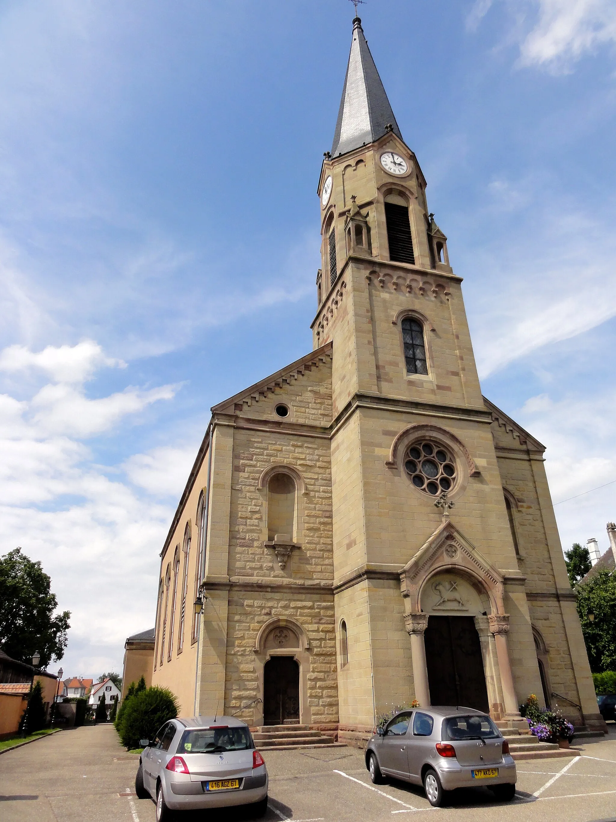
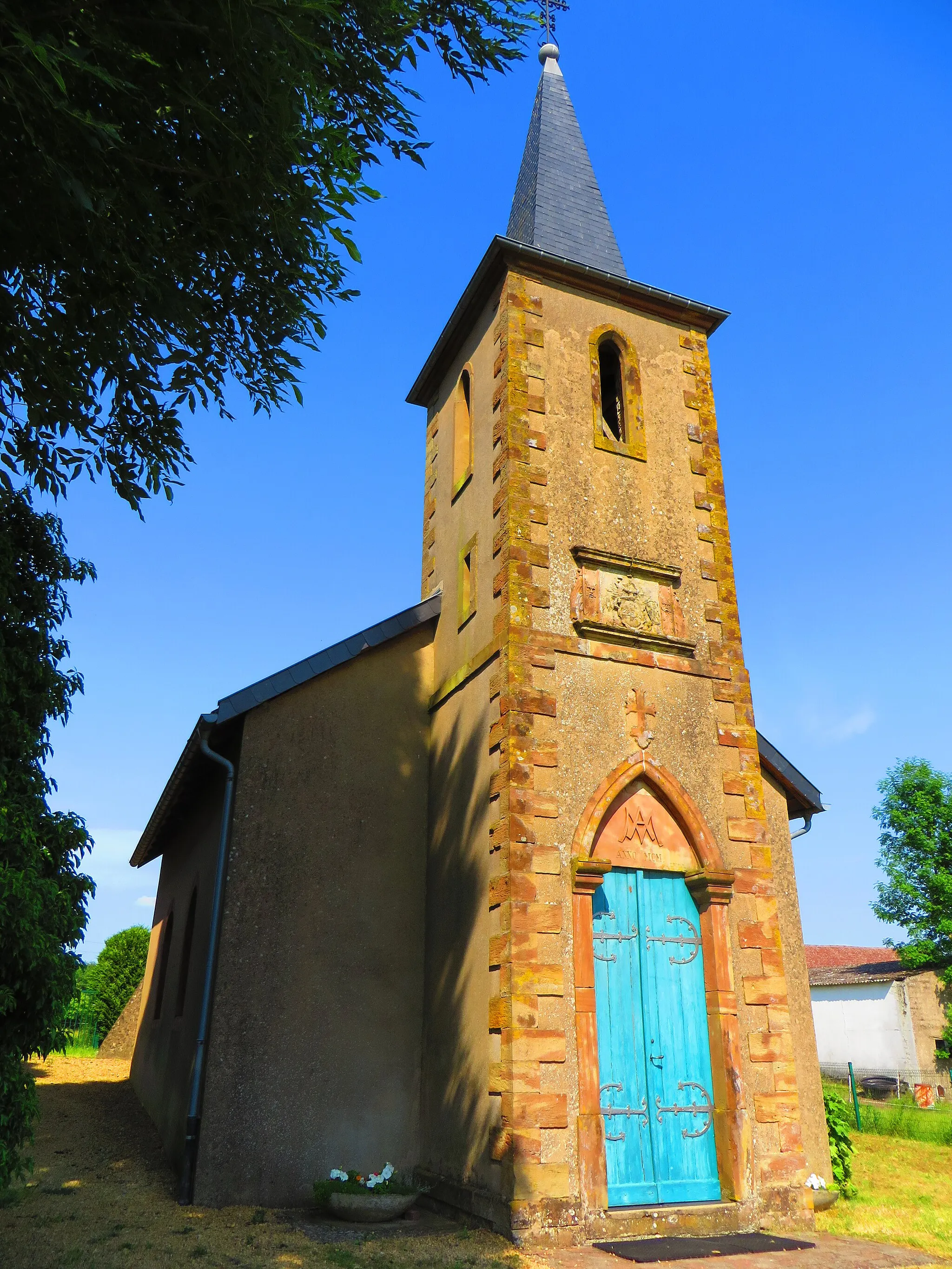
This road cycling route takes you on a picturesque 70-kilometer journey through the stunning countryside of Freyming-Lorraine. With an ascent of 766 meters, it offers a moderate challenge for well-trained amateur cyclists. Explore the highlights along the way, such as Saint-Jean-Rohrbach, a village known for its charming architecture, and Mettenberg, a hill offering panoramic views of the surrounding region.
Embark on a scenic road cycling journey to the iconic Saarpolygon
This 105-kilometer road route takes you on a captivating tour of the scenic beauty near Freyming-Merlebach. With a total ascent of 1183 meters, expect a challenging but rewarding ride through rolling hills and picturesque landscapes. The route features several highlights, including the historical Felsberg Castle, the charming town of Bous, and the famous Saarpolygon architectural masterpiece.
Experience the breathtaking hills surrounding Freyming-Merlebach on this road cycling route.
Discover the natural beauty and challenging terrains of the region with this road cycling route. Suitable for well-trained amateur cyclists, the route covers a distance of 49 kilometers with an ascent of 628 meters. The highlights along the route include Rosbruck, a picturesque village located 6 kilometers from the starting point, and Château nouveau, a historic castle dating back to ancient times, located 45 kilometers from the start.
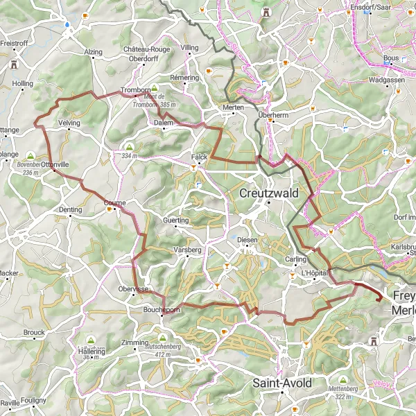
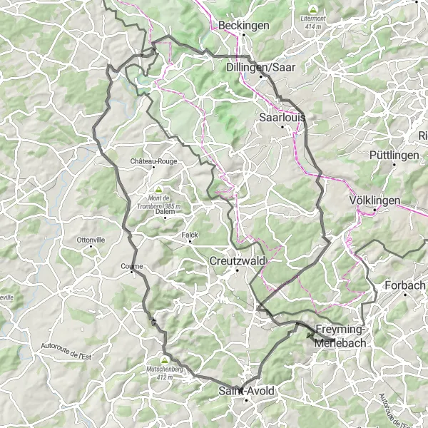
Embark on an exciting off-road journey to Tromborn and beyond
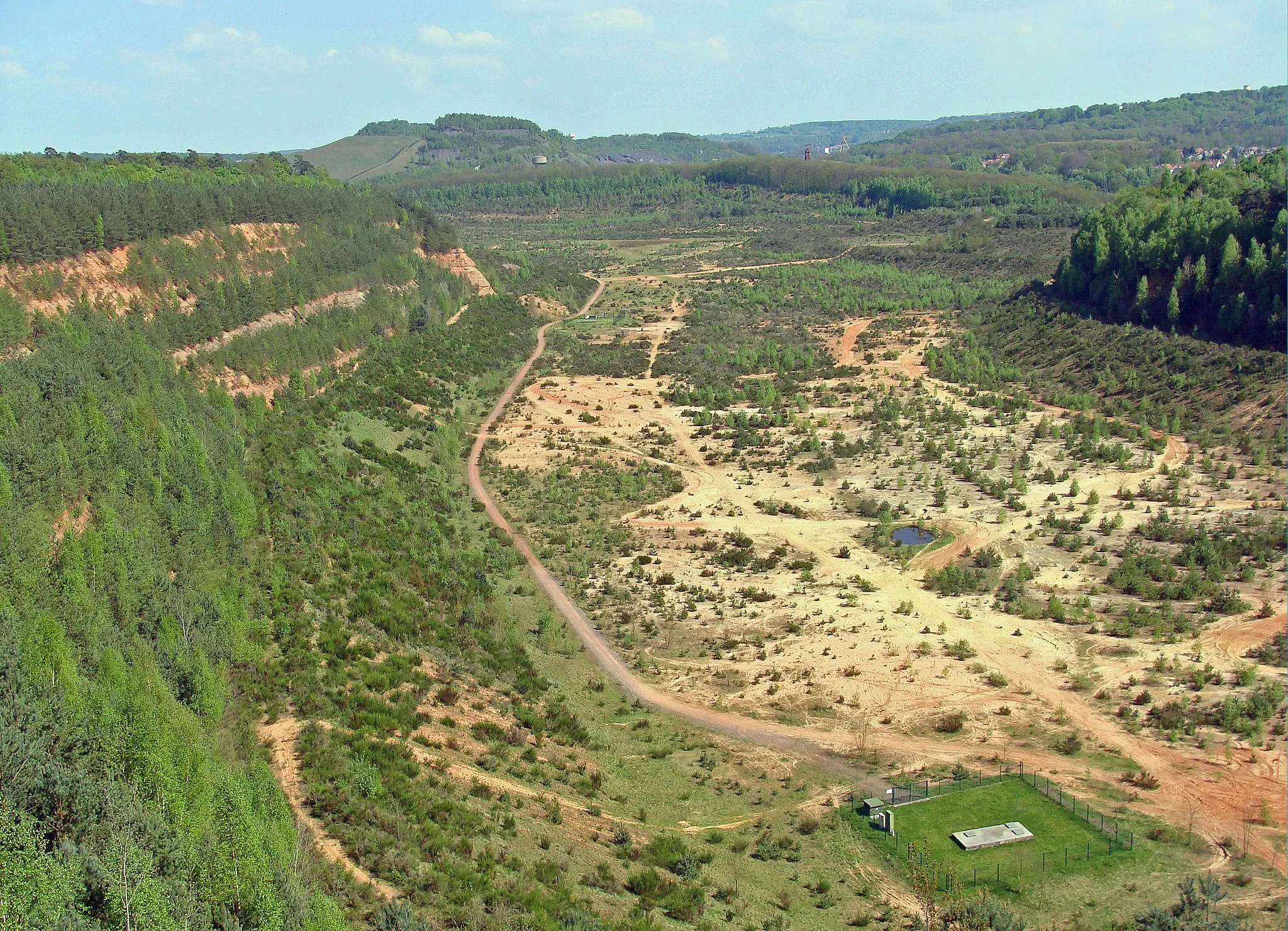
This 71-kilometer gravel route takes you on a thrilling adventure through the rugged terrain near Freyming-Merlebach. With a total ascent of 995 meters, be prepared for some challenging climbs and fast descents. The route showcases several highlights, including the panoramic views from Terril de Sainte-Fontaine, the historic village of Boucheporn, and the breathtaking Tromborn mountain.
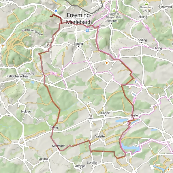
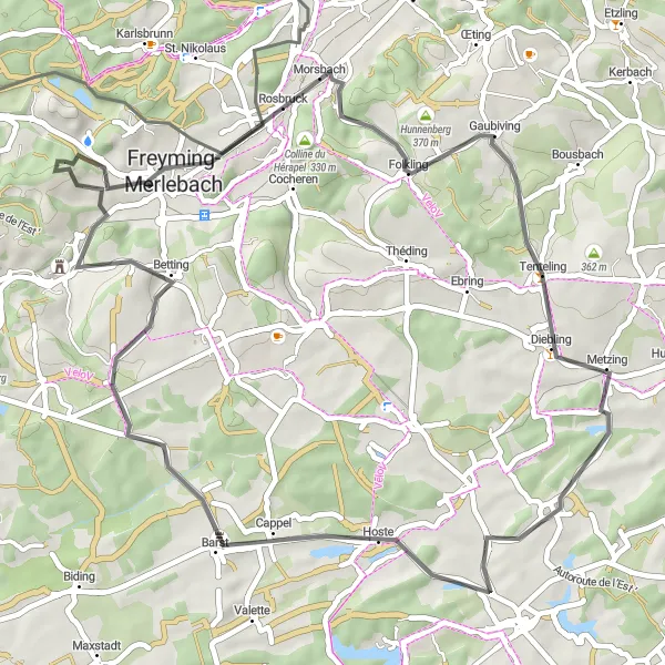
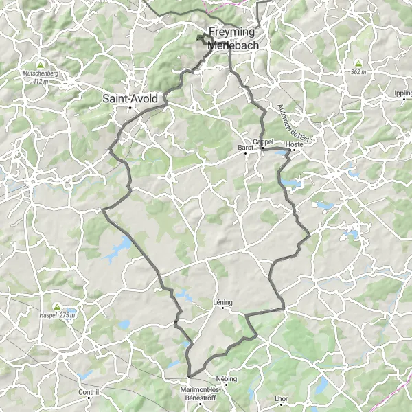
Experience an off-road adventure to the idyllic village of Maxstadt
This 45-kilometer gravel route takes you on a scenic journey to the charming village of Maxstadt. With a total ascent of 575 meters, expect a moderately challenging ride with stunning views of the surrounding countryside. The route is dotted with several highlights, including the historic village of Béning-lès-Saint-Avold, the peaceful commune of Hoste, and the picturesque village of Hellering.
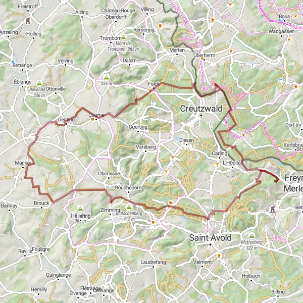
Uncover breathtaking hidden treasures and enjoy the remote charm on this gravel cycling route.
This scenic gravel cycling route offers a unique journey through the remote and hidden gems near Freyming-Merlebach. It spans 45 kilometers with an ascent of 667 meters, suitable for experienced amateur cyclists. Journey to Terril de Sainte-Fontaine, just 1 kilometer from the start, a fascinating site with remnants of the region's coal mining history. La Grande Saule, located 24 kilometers from the beginning, showcases untouched natural landscapes.
Take on the arduous challenge of conquering the hilly terrain near Freyming-Merlebach.
This road cycling route is designed for adventurous cyclists seeking a challenging adventure. Spanning 84 kilometers with an ascent of 1191 meters, it demands endurance and determination from well-trained amateur cyclists. Highlights along this exhilarating route include the Wassertor, an impressive water tower, and the Heidenkopfturm, a tower offering spectacular panoramic views of the surrounding area.
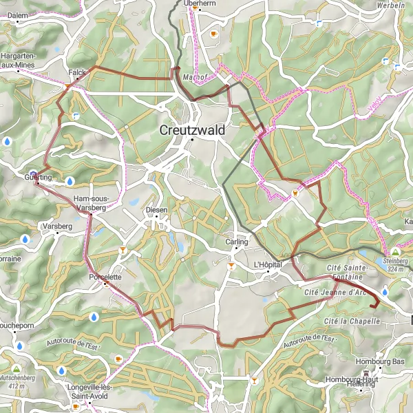
Embark on an exciting gravel adventure through the tranquil countryside surrounding Freyming-Merlebach.
This gravel cycling route provides a unique perspective of the countryside near Freyming-Merlebach, covering a distance of 72 kilometers with an ascent of 962 meters. Suitable for experienced amateur cyclists, it offers a chance to immerse yourself in the peaceful surroundings. Highlights along the route include Longeville-lès-Saint-Avold, a charming village located 15 kilometers from the starting point, and Marhof, known for its idyllic landscapes, which is situated 55 kilometers from the start.
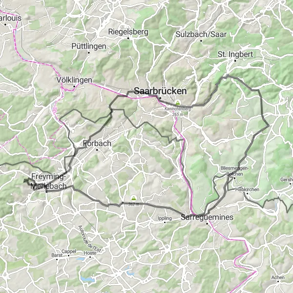
Embark on a thrilling road cycling adventure to Hombourg-Haut
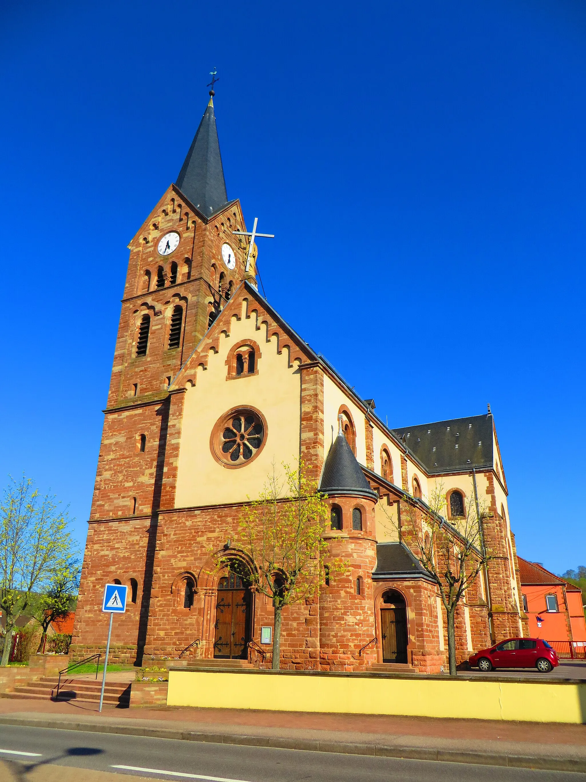
This 83-kilometer road route takes you on a scenic journey to the charming town of Hombourg-Haut. With a total ascent of 832 meters, be prepared for some challenging climbs and gorgeous vistas. The route features several highlights, including the picturesque village of Seingbouse, the tranquil Petit-Tenquin, and the scenic village of Vahl-lès-Bénestroff.
Cycling routes nearby:


Nearby regions: