Convenient cycling base to explore Nancy and Lorraine.
Cycling routes from Saint-Max
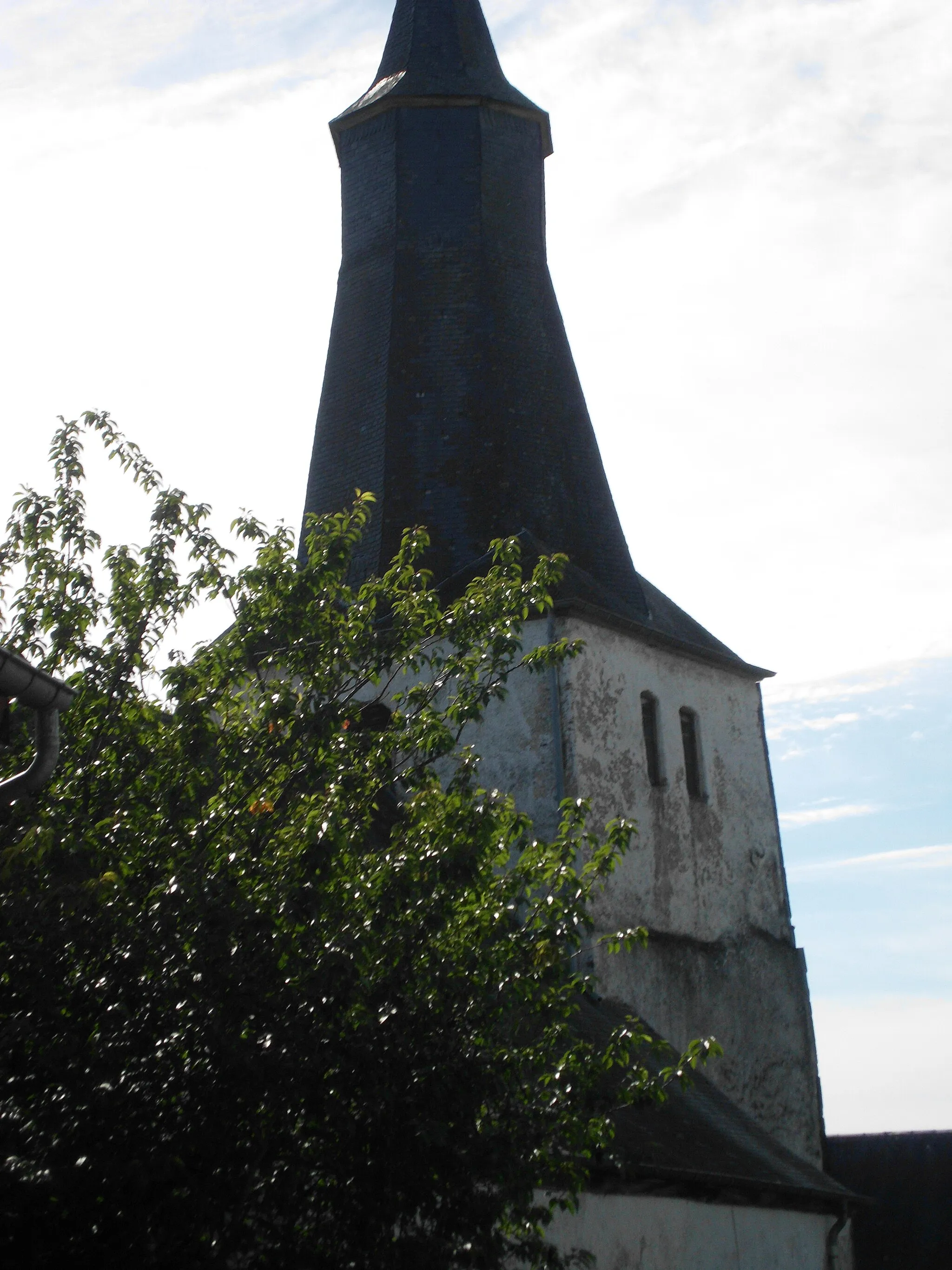
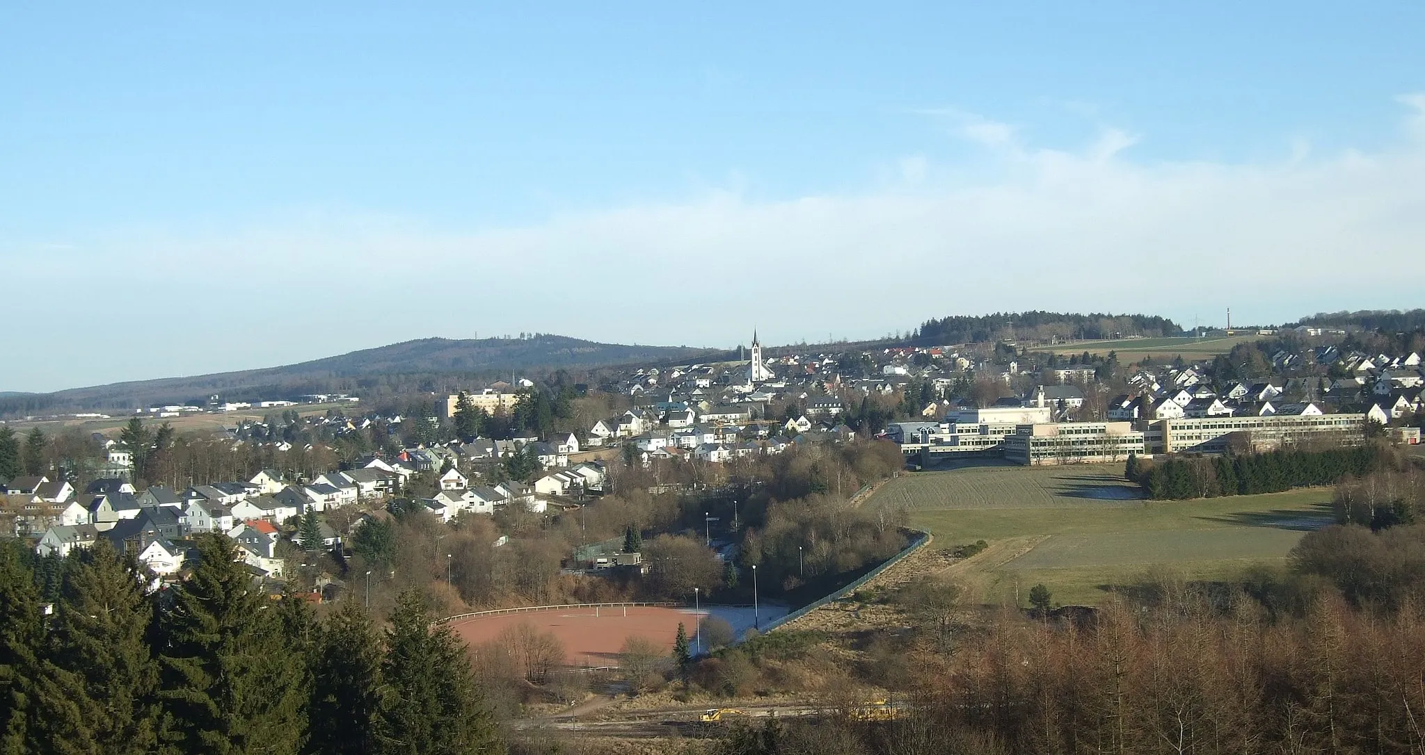
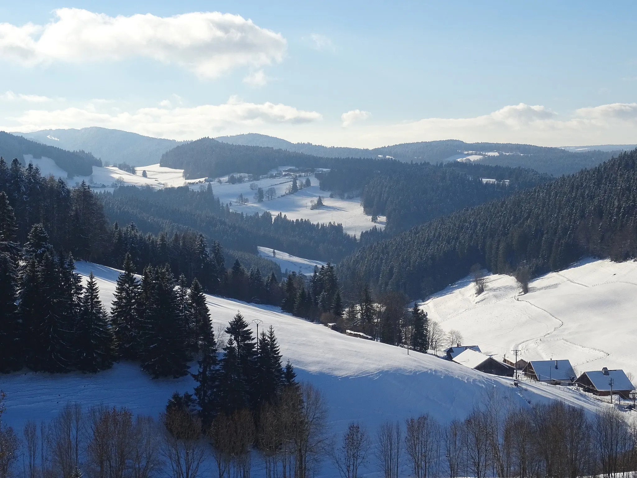
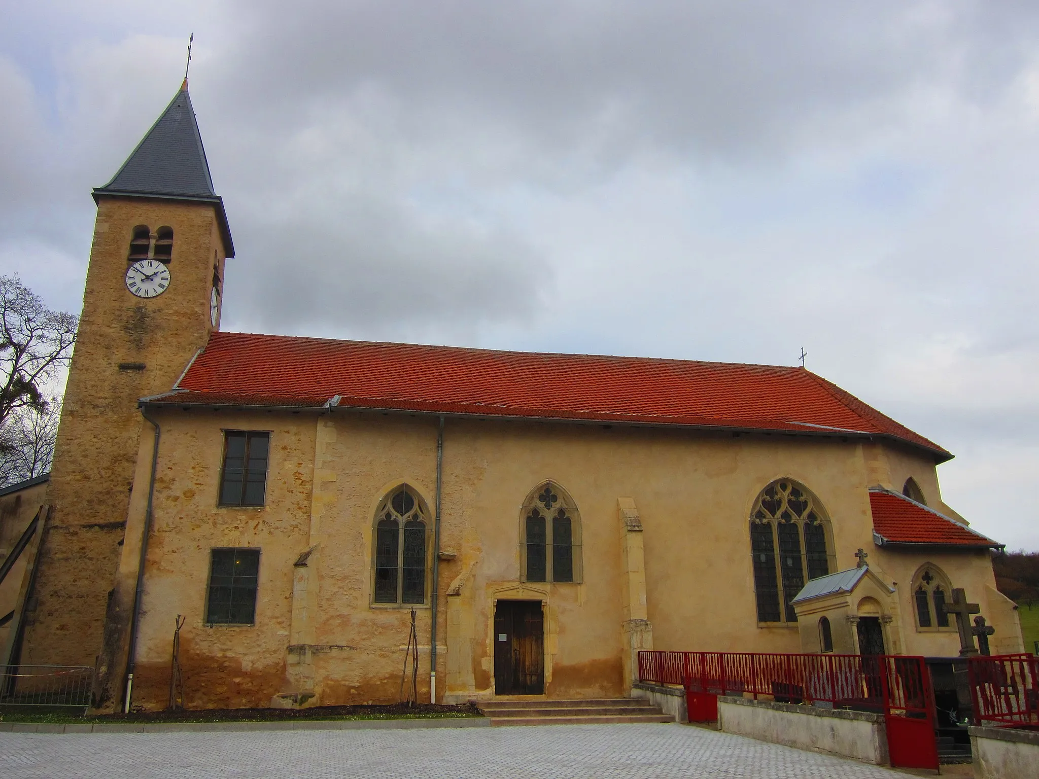
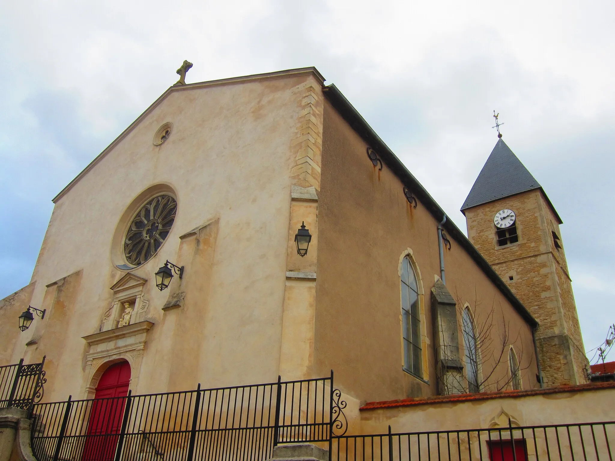
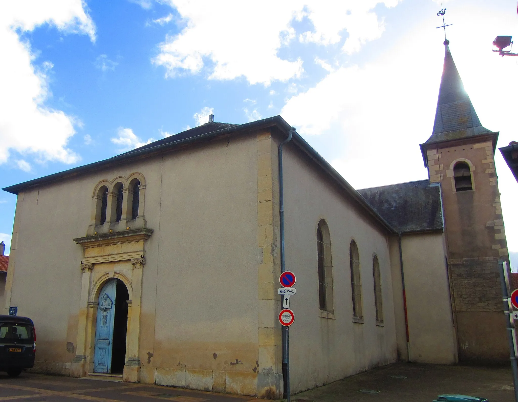
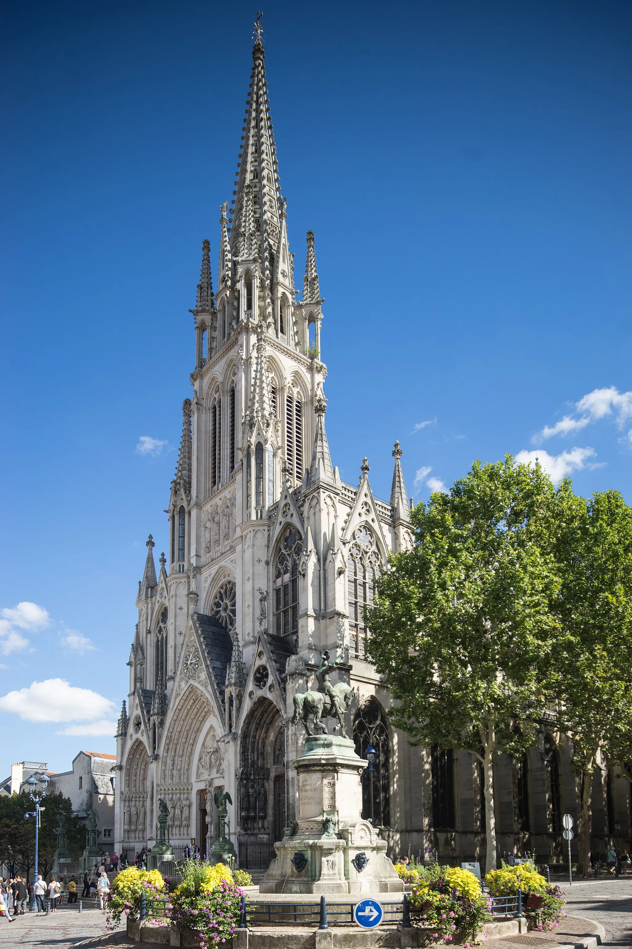
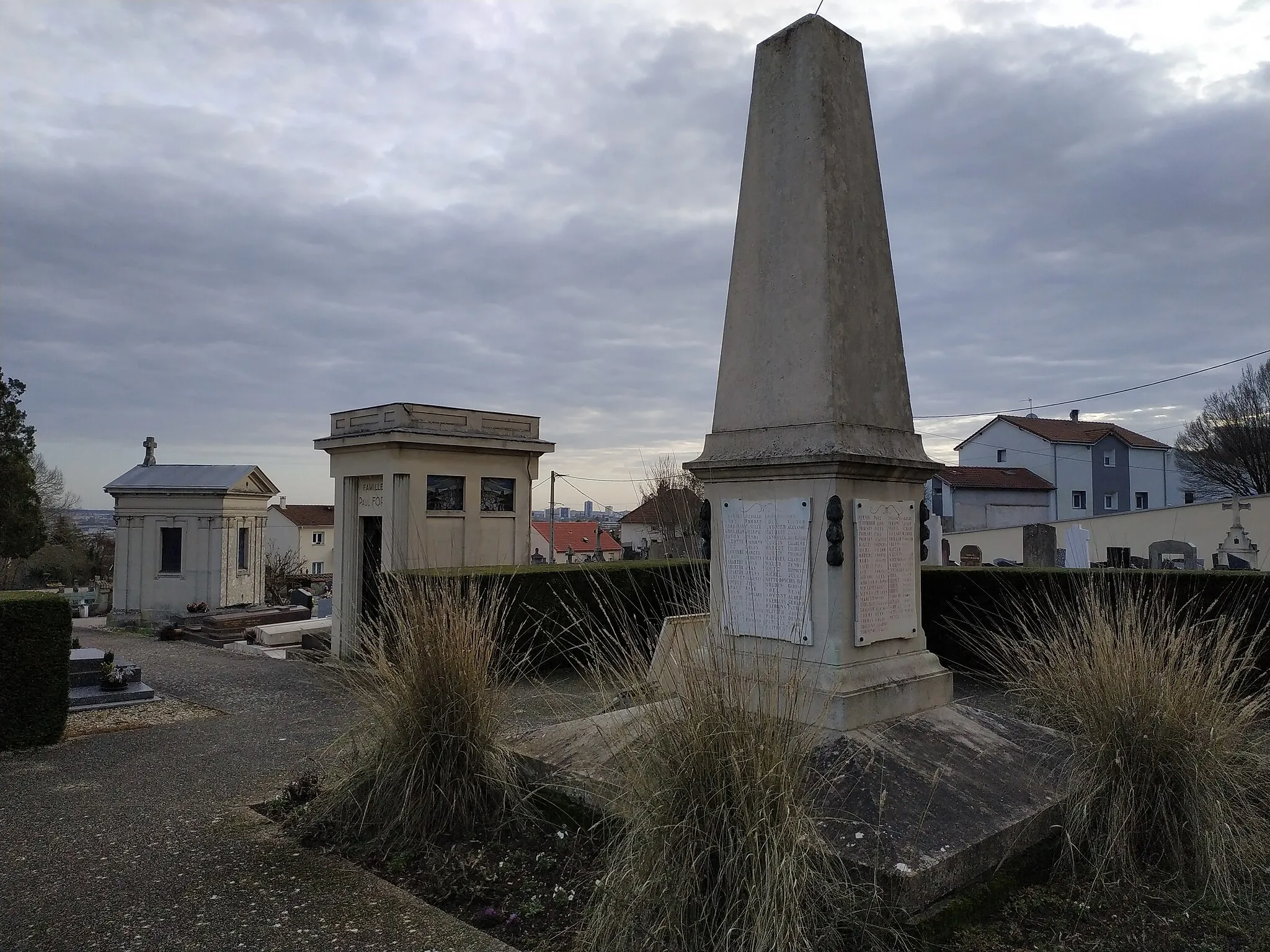
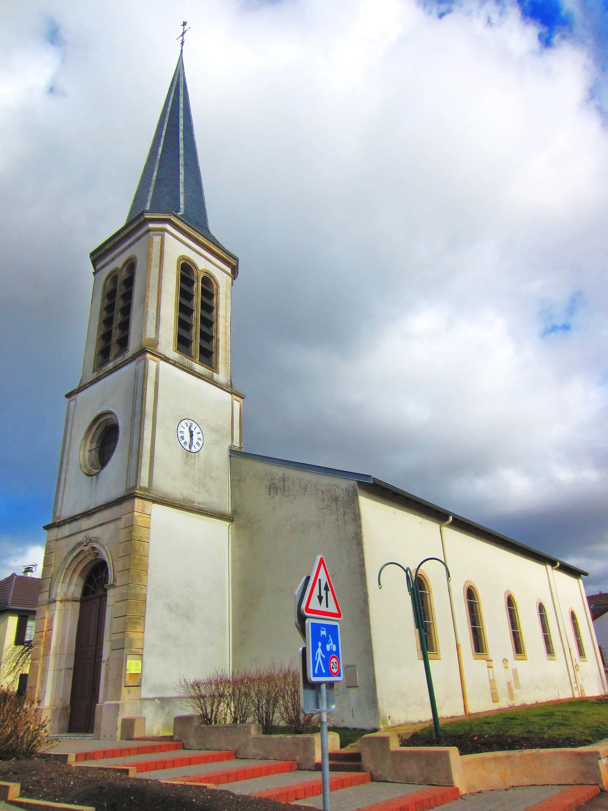
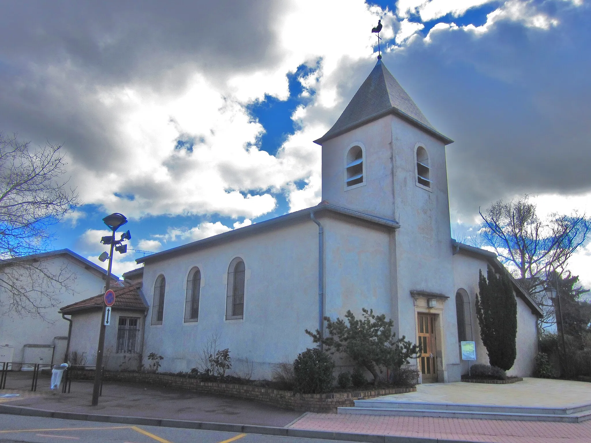
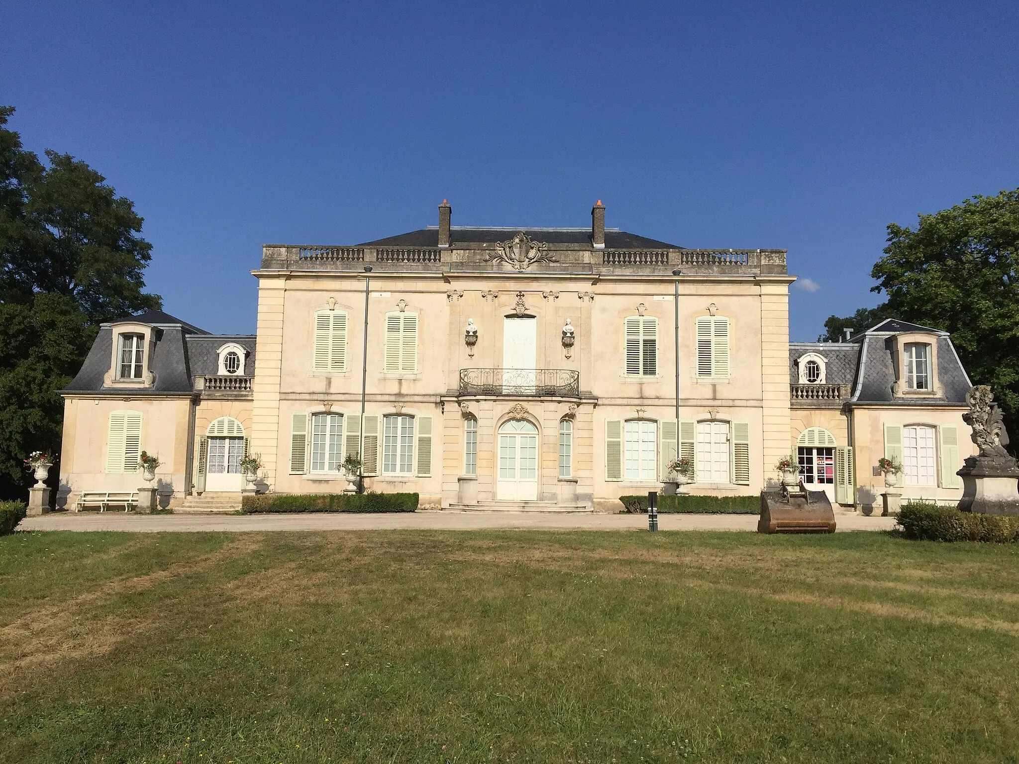
Saint-Max, situated in the Lorraine region of France, offers a range of cycling opportunities. The locality features multiple well-maintained roads and cycling paths, making it easy to explore the surrounding areas on two wheels. Saint-Max is close to the city of Nancy, which boasts an extensive cycling network and beautiful parks. While not notable for specific cycling-related spots or climbs, a visit to Saint-Max allows cyclists to enjoy the charm of Lorraine and visit attractions like Place Stanislas.

Conquer the stunning landscapes of Lorraine during this road route
Embark on a challenging 110-kilometer road journey that takes you through the breathtaking landscapes of Lorraine. Ascend a total of 866 meters and experience the region's natural beauty and rich history. Challenging and rewarding for experienced road cyclists.
Embark on a gravel adventure near Saint-Max
Take on the gravel roads near Saint-Max with this exhilarating 52-kilometer route. Ascend a total of 410 meters and explore the outskirts of the town. Suitable for intermediate gravel bikers.
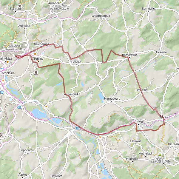
Maximizing Gravel in Lorraine
Dive into the rich gravel roads of Lorraine
Explore the picturesque scenery of Lorraine with this challenging gravel route. With a total ascent of 649 meters and spanning 52 kilometers, this route takes you through idyllic countryside and charming villages. Ideal for experienced gravel bikers.

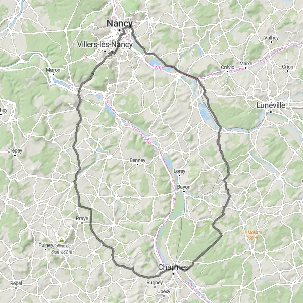
Embark on an epic road journey through scenic Lorraine
Experience the diverse landscapes of Lorraine with this thrilling 89-kilometer road route starting near Saint-Max. Ascend a total of 438 meters and marvel at the region's natural beauty and architectural wonders. A challenging adventure for advanced road cyclists.
Embark on a 110 km road cycling adventure through Dombasle-sur-Meurthe, Damelevières, Clayeures, Saint-Rémy-aux-Bois, Essegney, Forcelles-Saint-Gorgon, Bainville-sur-Madon, and Vandœuvre-lès-Nancy.
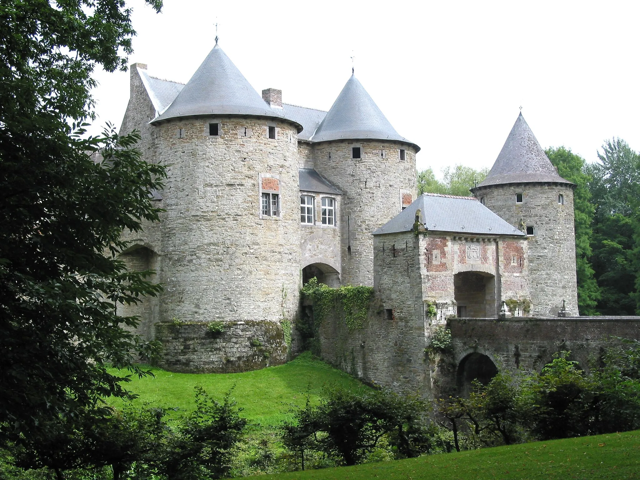
Prepare for an epic 110 km road cycling journey filled with challenging climbs and breath-taking scenery. This route takes you through some of Lorraine's hidden gems, including stunning castles and charming villages. With a total ascent of 896 meters, cyclists will have the opportunity to immerse themselves in the region's rich history and natural beauty.

Embark on an 85 km road cycling adventure through Le Pain de Sucre, Champenoux, Lunéville, Damelevières, Laneuveville-devant-Nancy, Saulxures-lès-Nancy, and Col Sainte-Geneviève.
Prepare for the ultimate road cycling challenge as you tackle the toughest climbs of Lorraine. This 85 km route is not for the faint-hearted, with a challenging ascent of 786 meters. Cyclists will conquer legendary climbs, witness stunning views, and experience the thrill of cycling in one of France's most renowned regions.

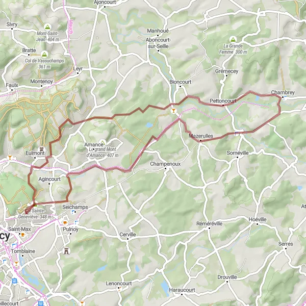
Embark on a thrilling gravel adventure through Laxou, Villey-le-Sec, Écrouves, Jaillon, Carrière de Jaillon, and Champigneulles.
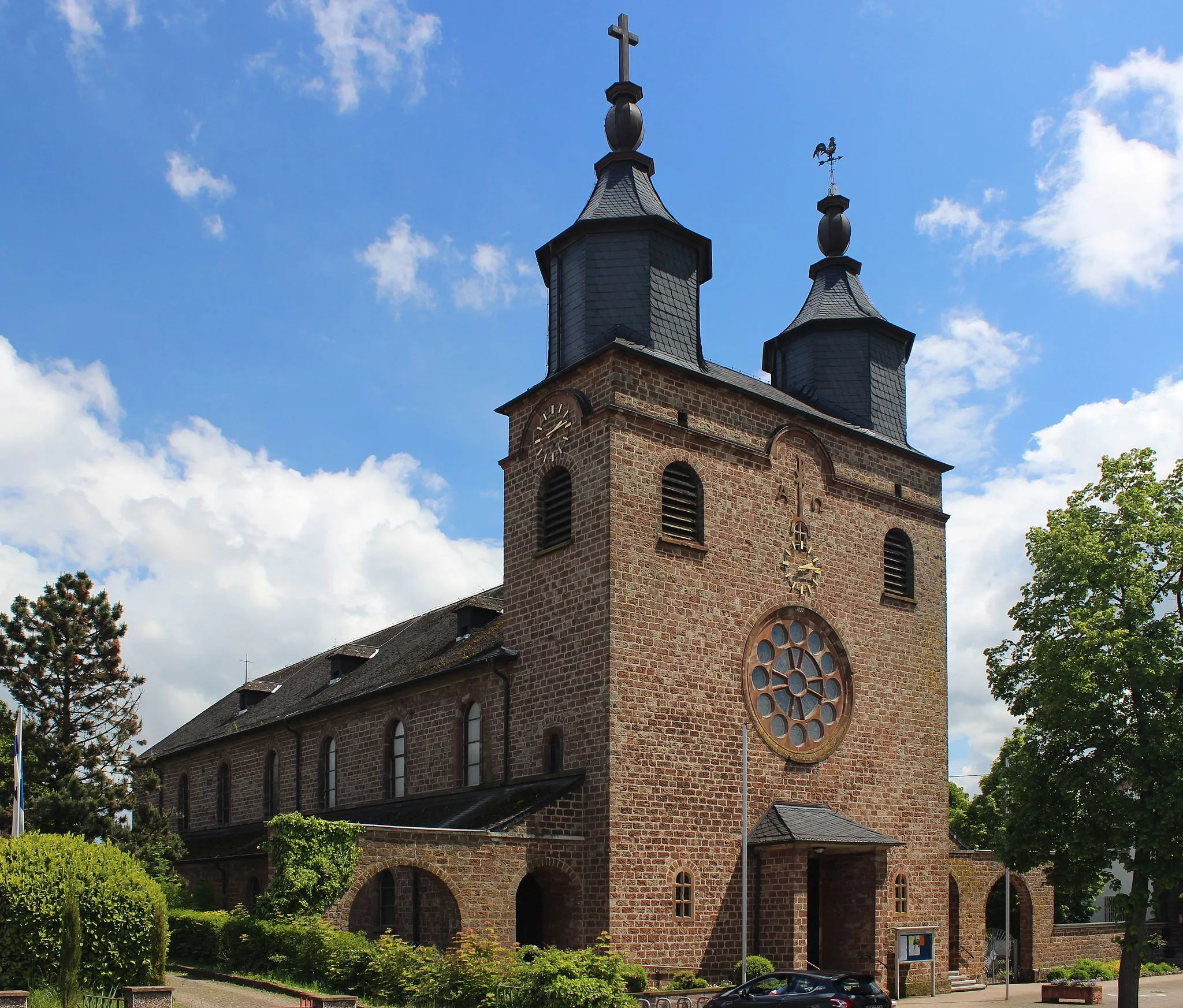
Discover the natural wonders of Lorraine on this 83 km gravel cycling route. With a challenging ascent of 725 meters, cyclists will encounter breathtaking scenery, including river valleys, dense forests, and stunning rock formations. This route is perfect for adventurous cyclists who want to immerse themselves in Lorraine's natural beauty.
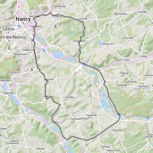
Embark on a challenging road cycling journey through Essey-lès-Nancy, Dombasle-sur-Meurthe, Damelevières, Burthecourt-aux-Chênes, and Tomblaine.
This 63 km road cycling route takes you through some of Lorraine's most picturesque landscapes, offering stunning views and challenging climbs. With a total ascent of 439 meters, cyclists will pass through charming villages and rolling countryside. Prepare for a thrilling adventure that will leave you in awe of Lorraine's natural beauty.

Savor the beauty of Lorraine on this picturesque road route
Embark on a leisurely 42-kilometer road journey through the captivating landscapes of Lorraine. Ascend a total of 268 meters and immerse yourself in the region's natural beauty and picturesque villages. Perfect for beginners and leisure riders.

Embark on a thrilling gravel adventure through Nancy, Sexey-aux-Forges, Villey-le-Sec, and Malzéville.
This challenging 51 km route is perfect for gravel enthusiasts who want to discover the lesser-known areas of Lorraine. With a breathtaking ascent of 585 meters, cyclists will pass through historic towns and picturesque landscapes. Prepare to be mesmerized by the natural beauty and rich history of this region.
Cycling routes nearby:

Nearby regions: