Biking through the picturesque countryside of Vaucouleurs in France
Cycling routes from Vaucouleurs
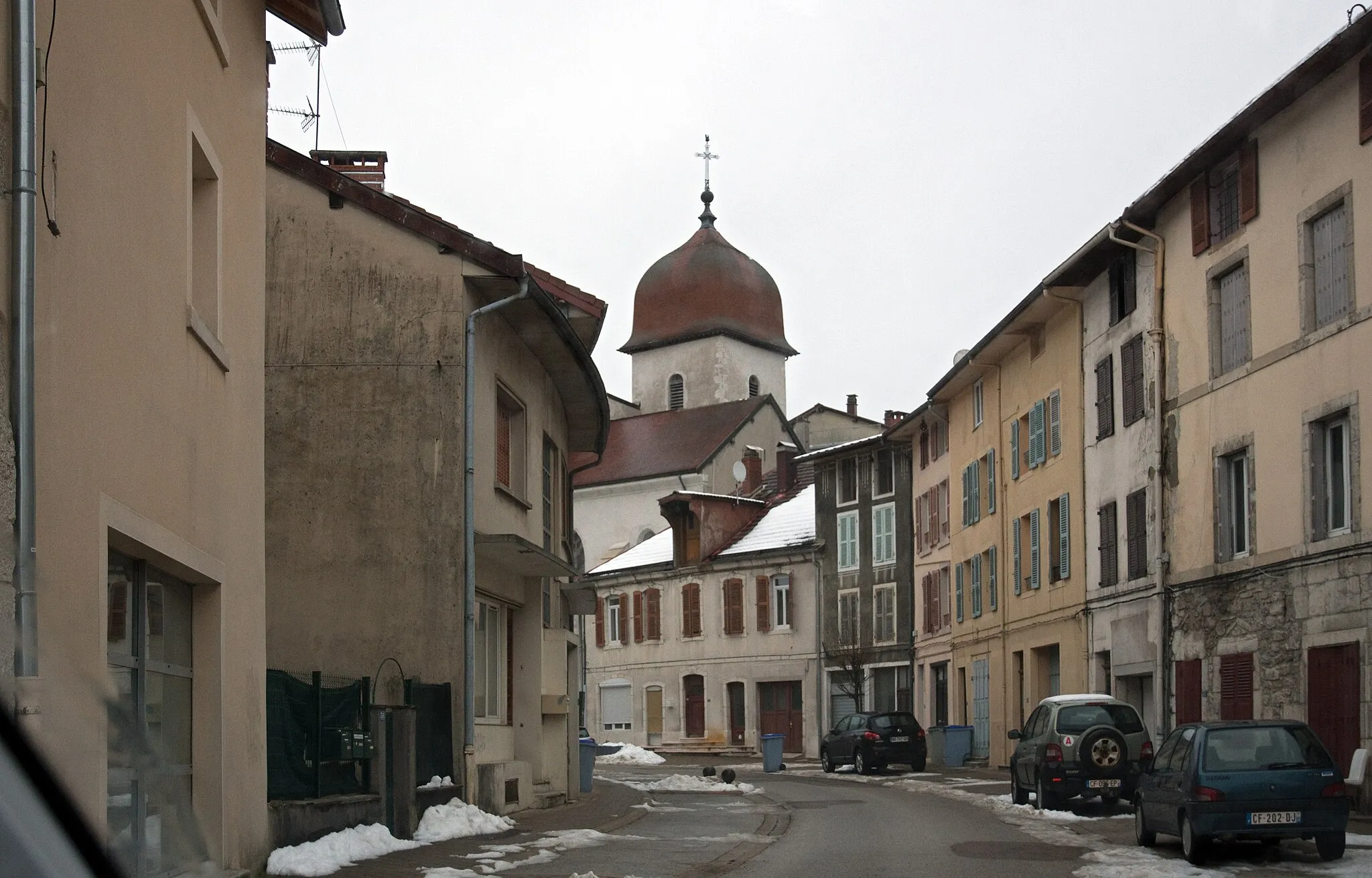
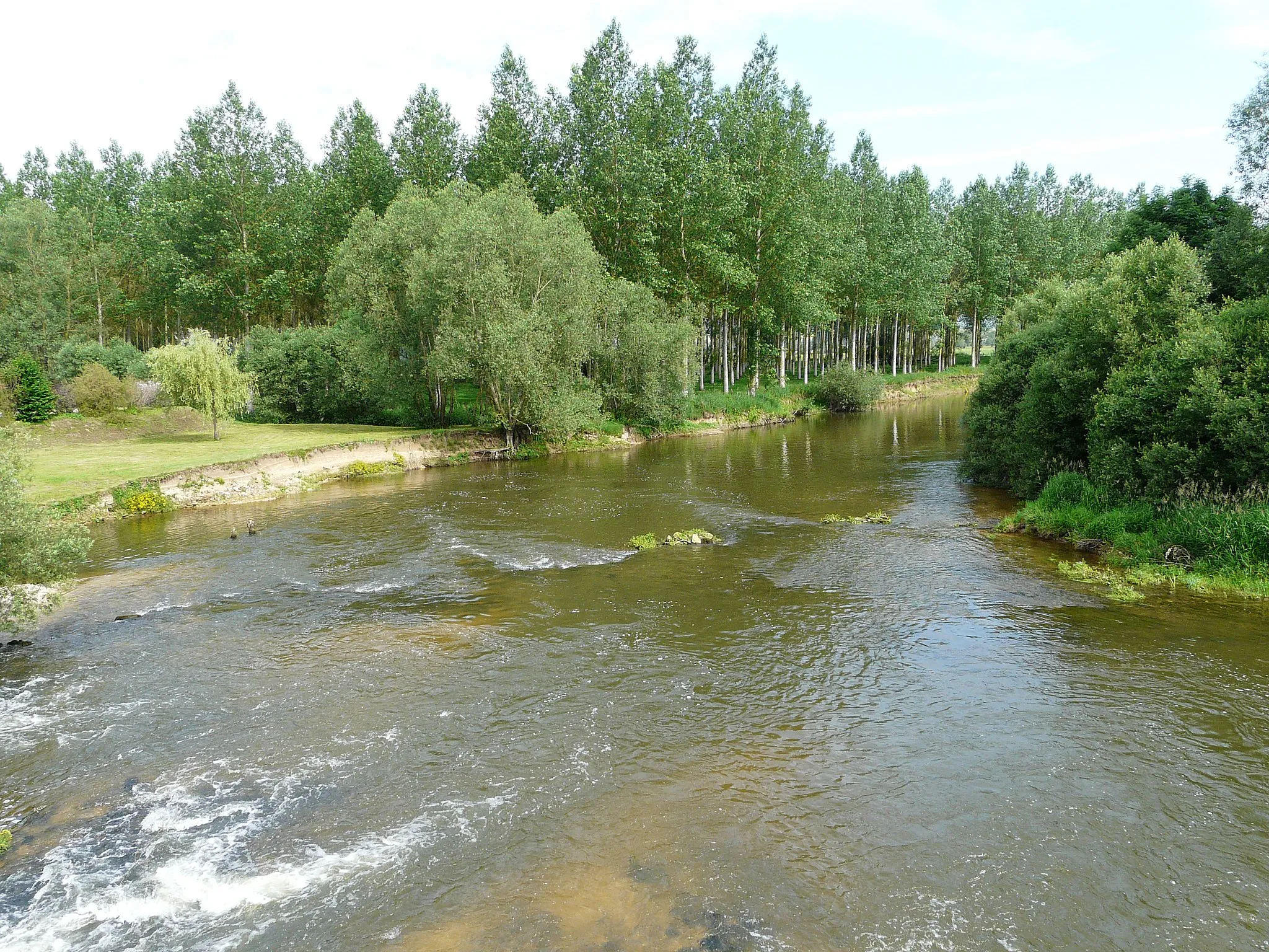
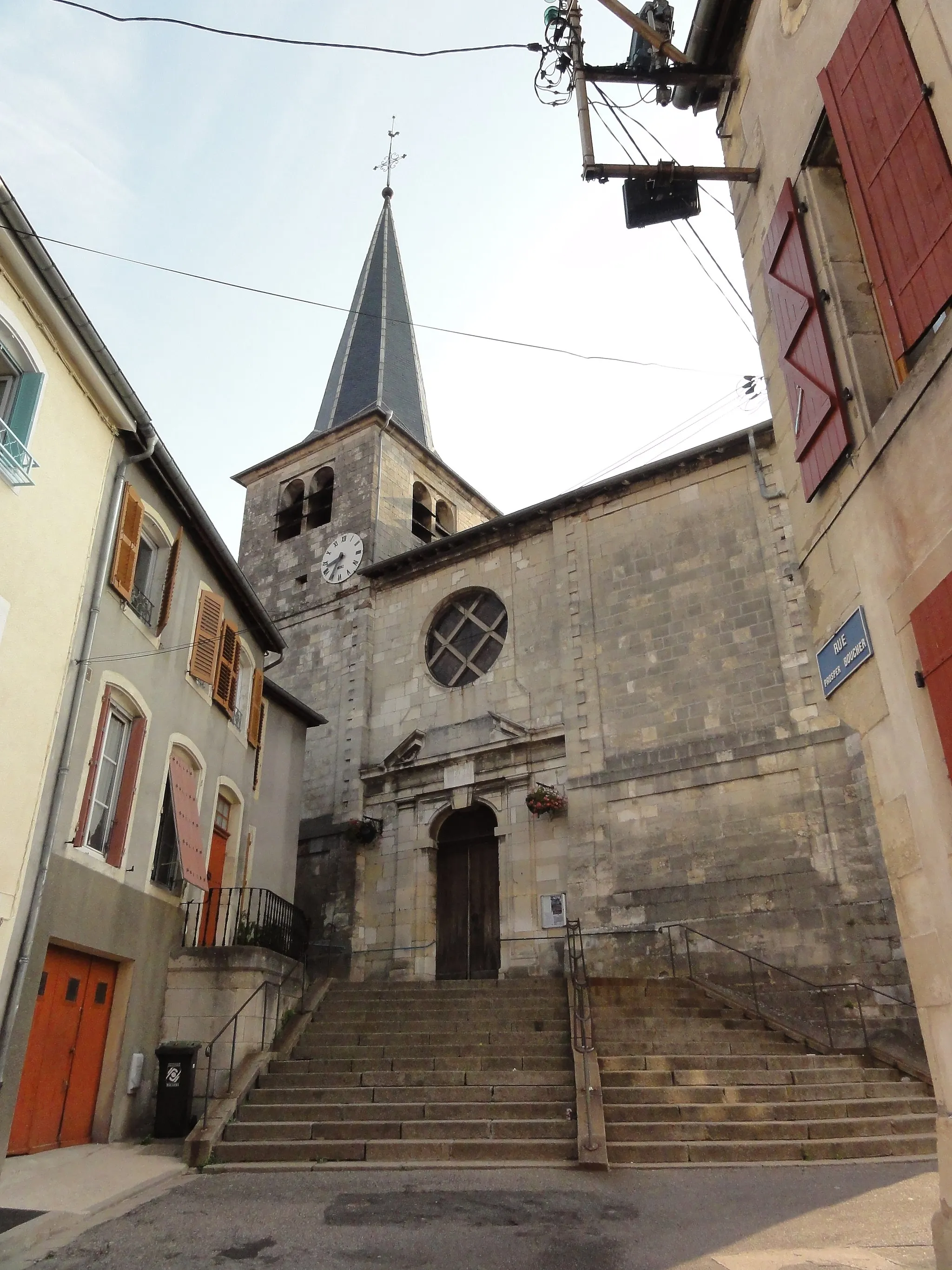
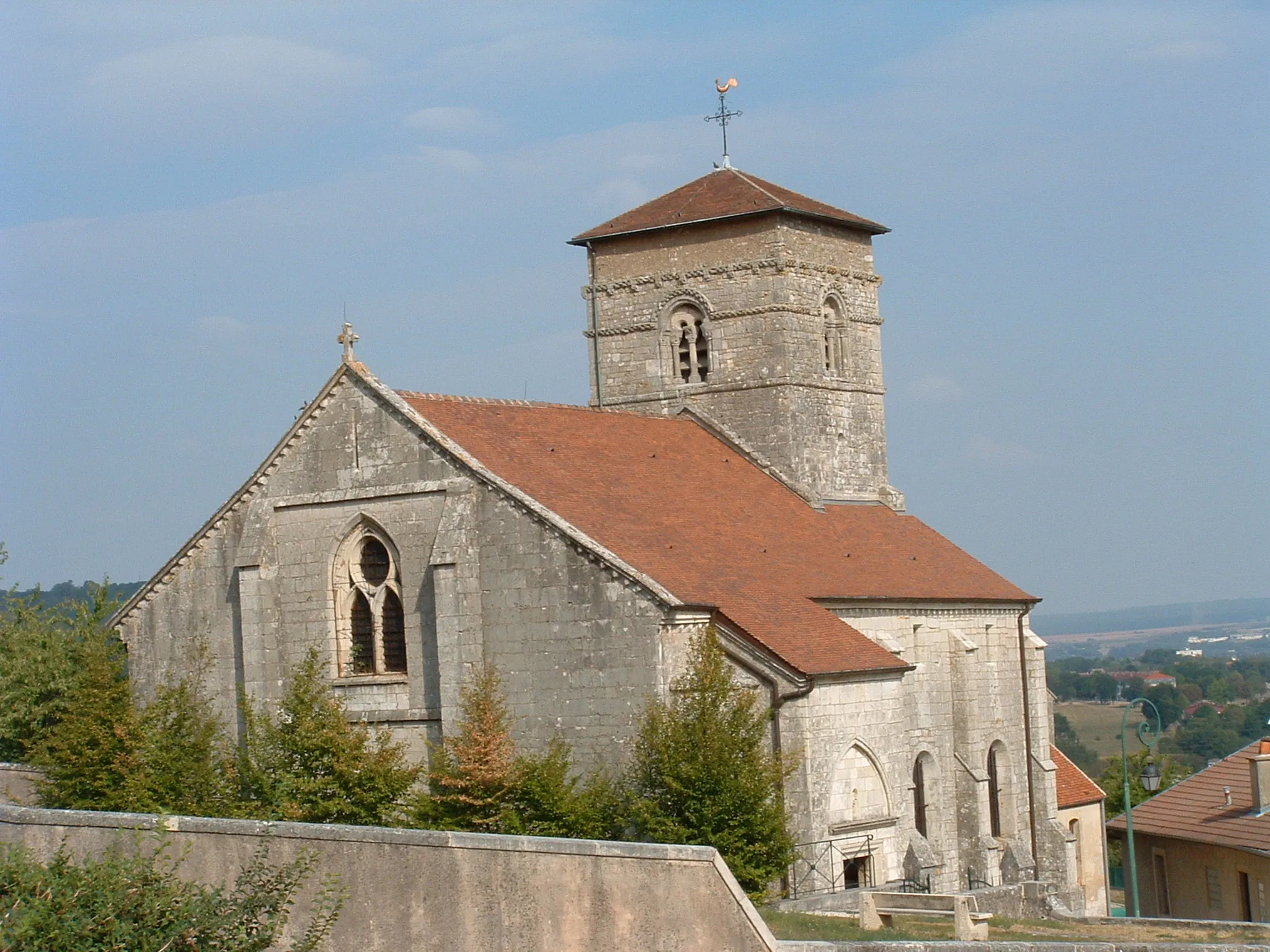
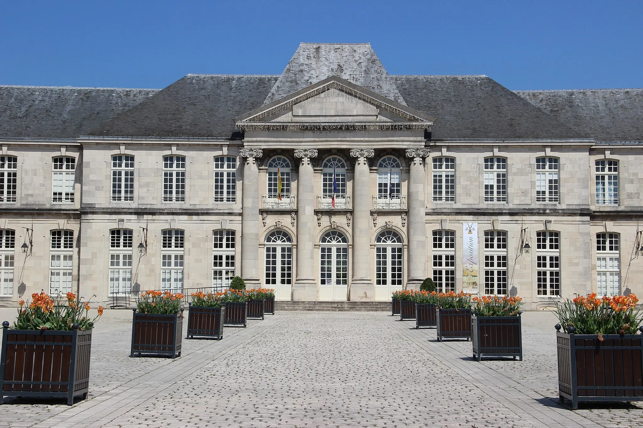
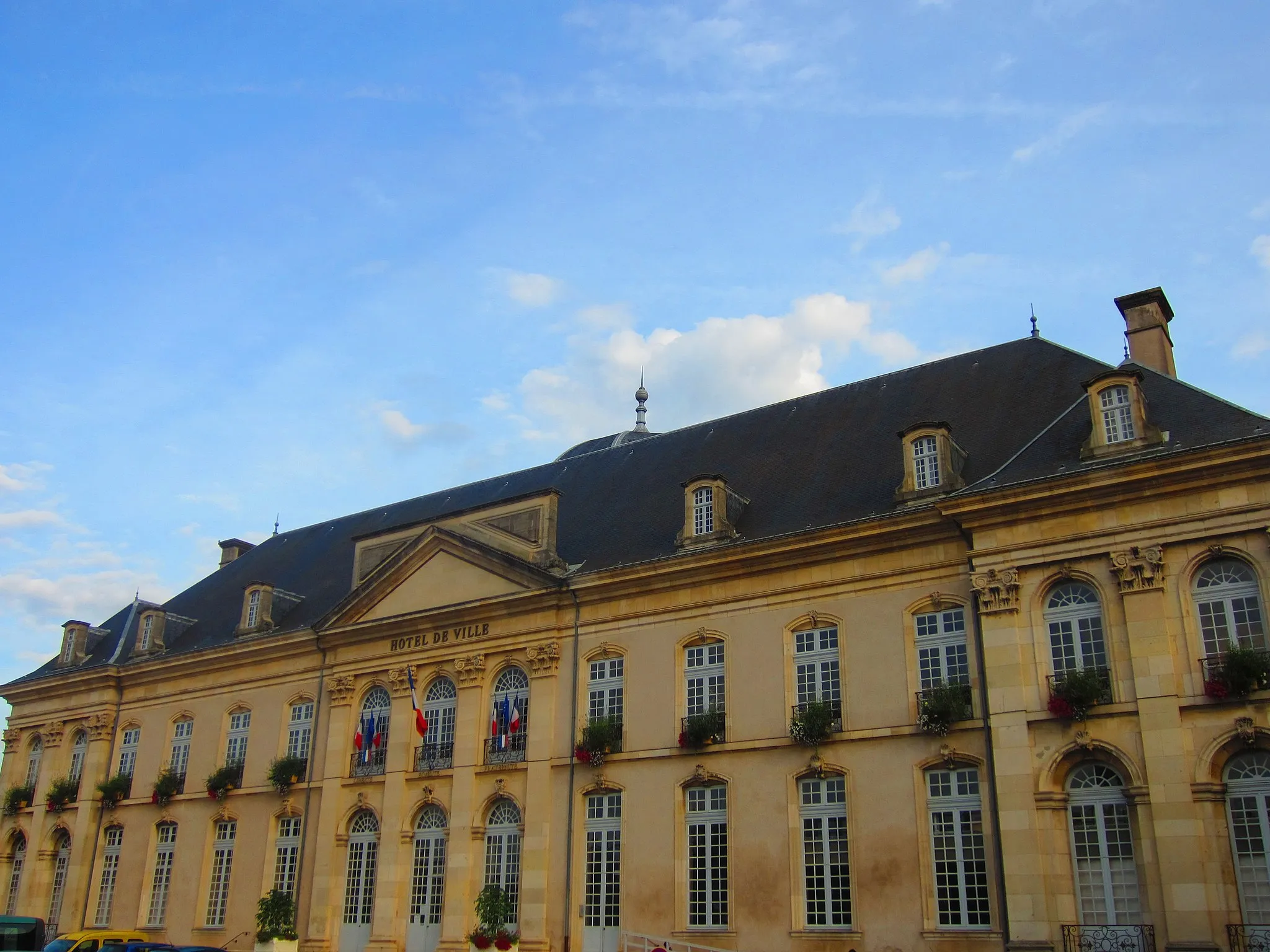
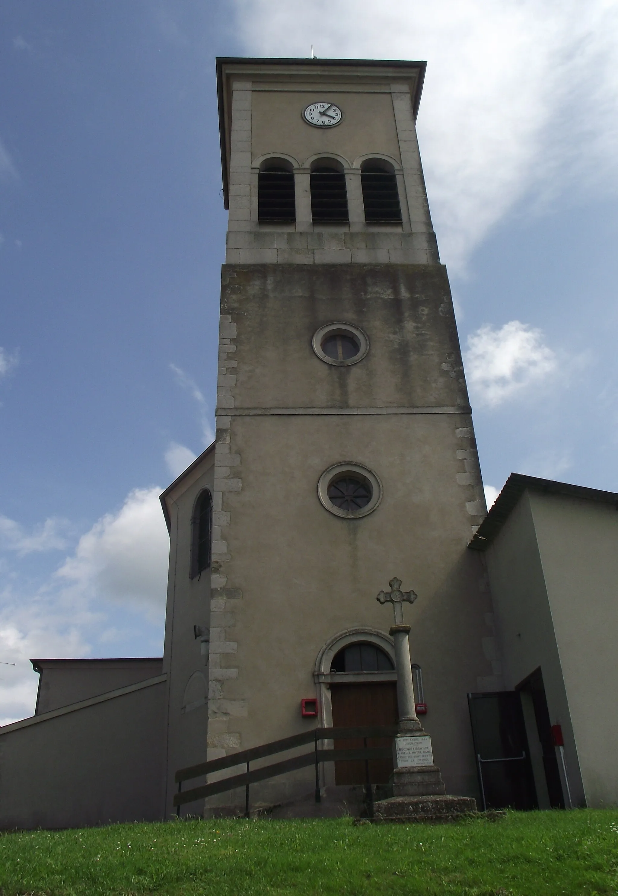
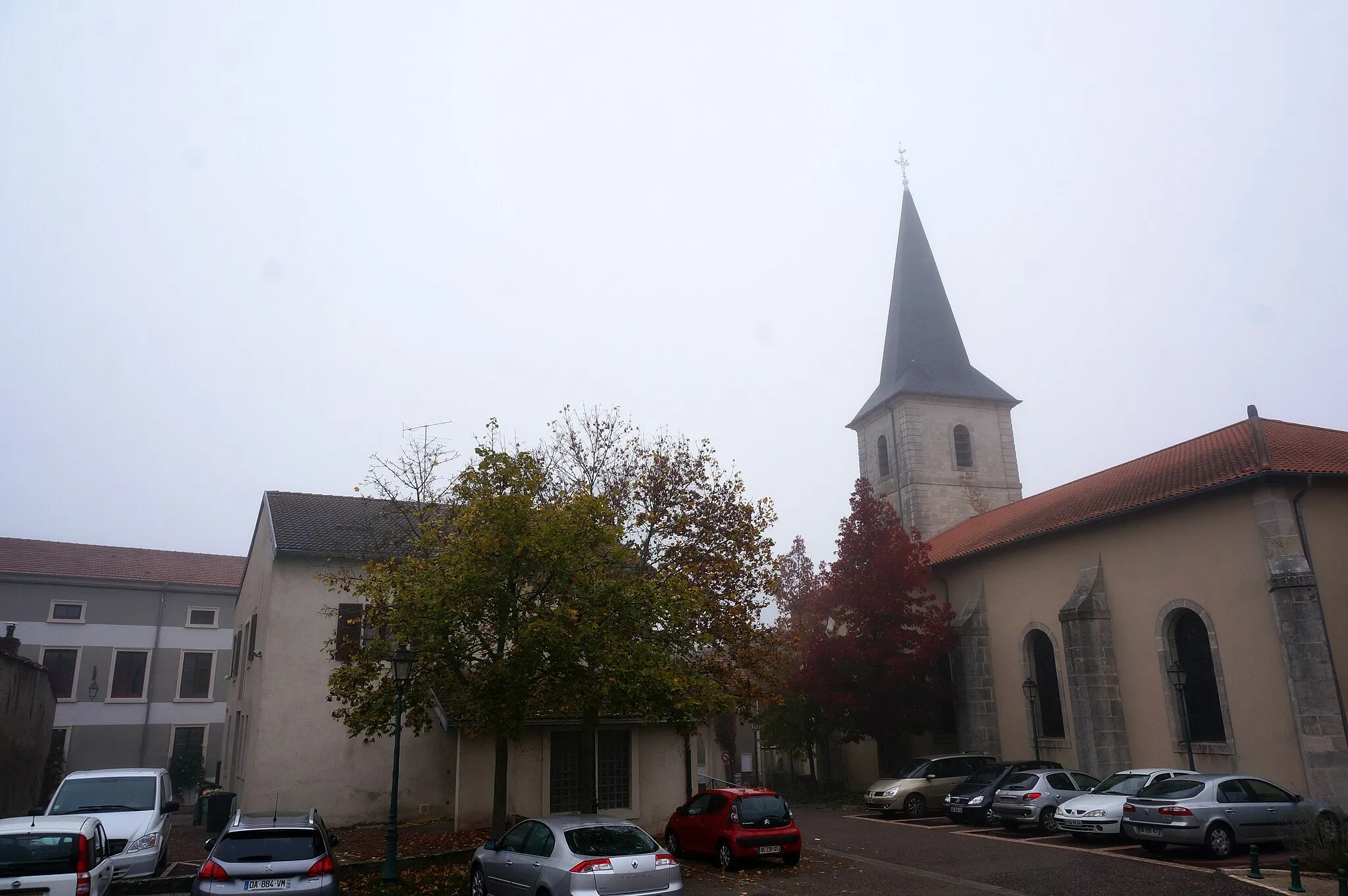
Vaucouleurs, located in the Lorraine region of France, offers a mix of flat and rolling terrain for road and gravel cyclists. The area is known for its beautiful countryside with charming villages and historic sites. While there are no famous climbs directly in Vaucouleurs, nearby hills like Le Moutier and La Croix de la Mission provide scenic challenges for avid cyclists. Vaucouleurs is an ideal destination for those seeking a peaceful and picturesque cycling experience in the heart of rural France.

Escape into the captivating countryside on this gravel adventure in Lorraine.
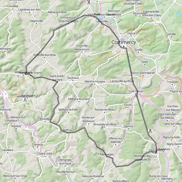
Venture into the scenic landscapes of Lorraine with the Lorraine Escape route. This gravel ride starts near Vaucouleurs and covers 51 kilometers with 526 meters of ascent. Along the way, you'll discover hidden gems such as Badonvilliers-Gérauvilliers, Baudignécourt, Mauvages, Sauvoy, and the Ancienne Caisse d'Epargne. With its moderate difficulty and charming rural scenery, Lorraine Escape is an ideal choice for cyclists seeking a peaceful and rewarding escape from the hustle and bustle of daily life.
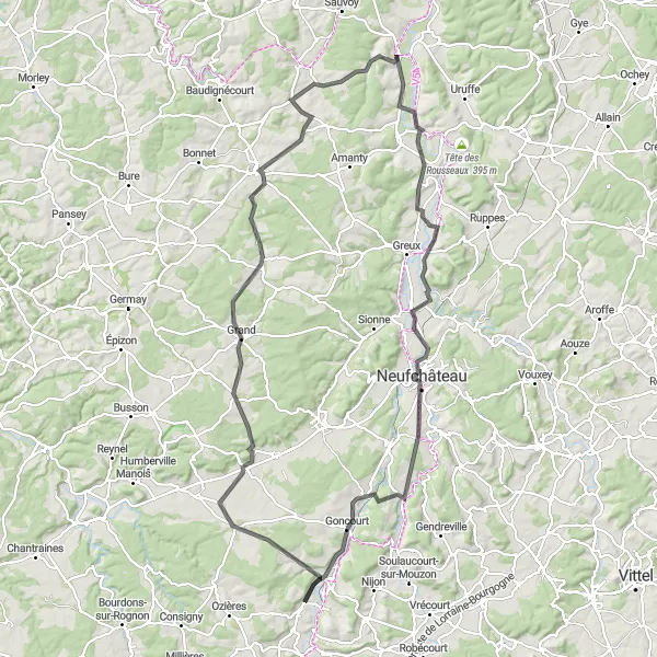
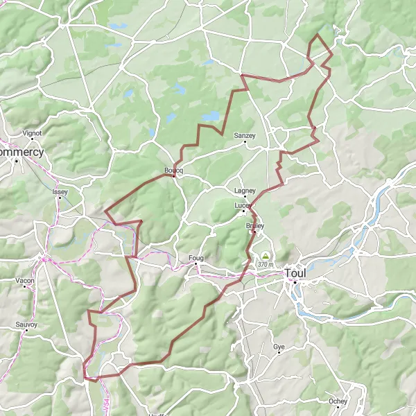
Embark on an epic, challenging journey that takes you through Champougny and Neufchâteau
This 128-kilometer road cycling route is perfect for those looking for a challenging adventure. With an ascent of 1218 meters, this loop will push your limits. Highlights include Champougny, Coussey, Neufchâteau, Pompierre, Bourg-Sainte-Marie, Lafauche, Dainville-Bertheléville, Gondrecourt-le-Château, and Montigny-lès-Vaucouleurs. As you journey through charming villages and beautiful landscapes, you'll be rewarded with a satisfying sense of accomplishment.
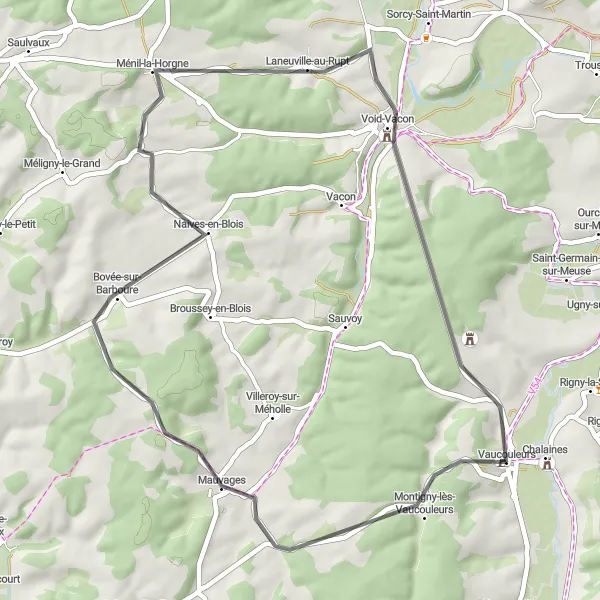
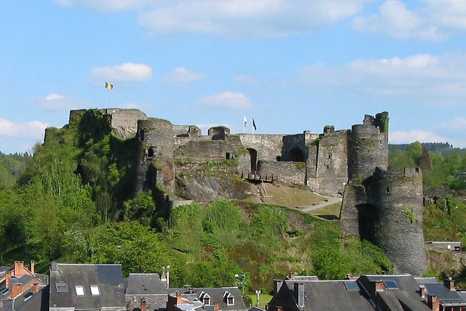
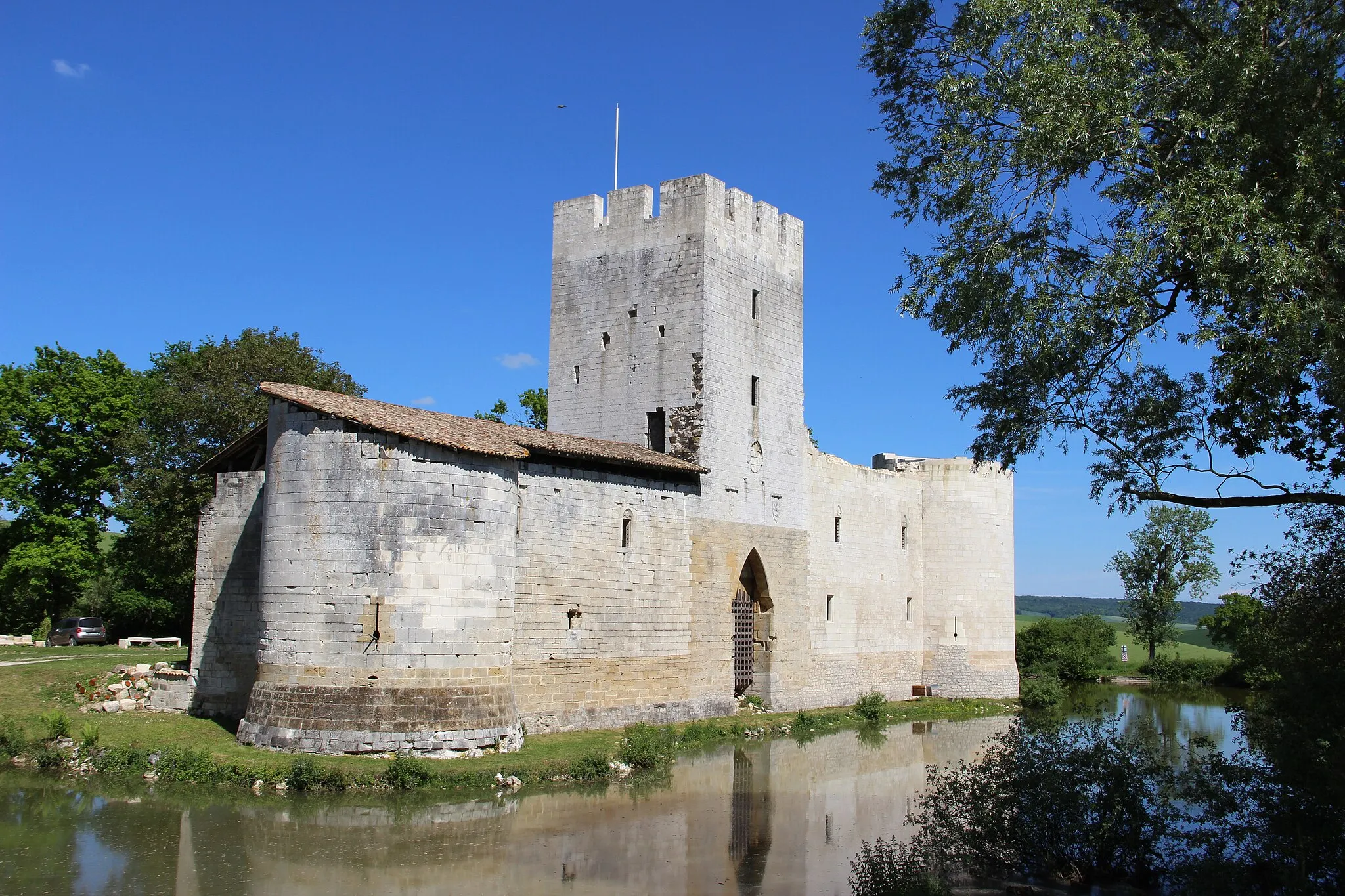
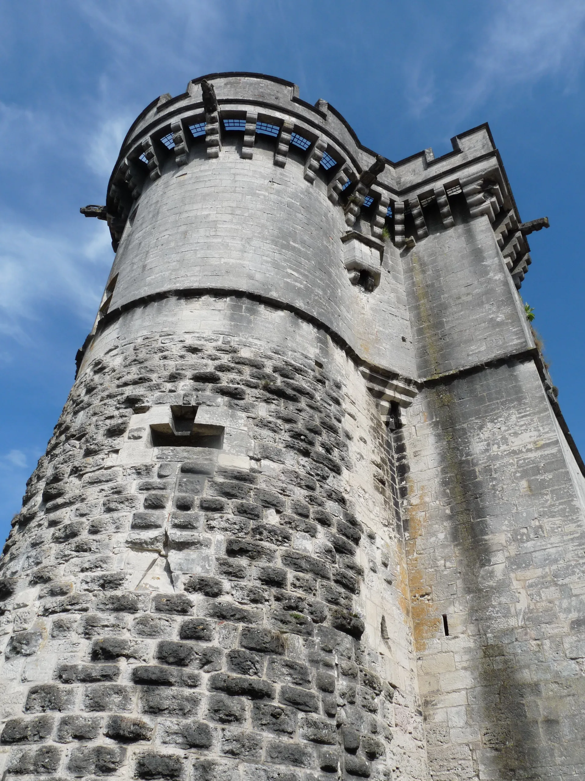
Discover the historic town of Vaucouleurs and visit the impressive Château de Gombervaux
This cycling route takes you on a scenic journey from Vaucouleurs to the iconic Château de Gombervaux. Along the way, you'll pass through Mauvages, Bovée-sur-Barboure, Laneuville-au-Rupt, and more. The route covers a distance of 47 kilometers and includes 502 meters of ascent. Suitable for road bikes, this loop offers a moderate difficulty level, making it perfect for amateur cyclists.
Scenic Gravel Adventure
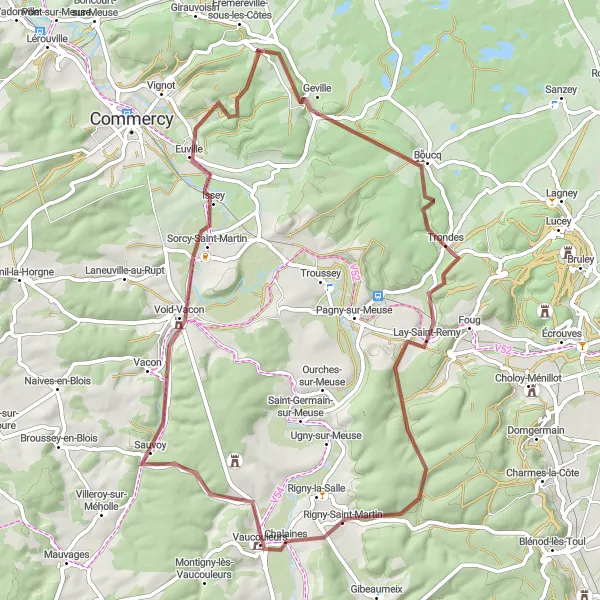
Embark on an exciting gravel adventure through the picturesque landscapes near Vaucouleurs
For gravel enthusiasts, this 65-kilometer route is a dream come true. Starting in Vaucouleurs, you'll explore enchanting villages like Sorcy-Saint-Martin, Geville, Boucq, Lay-Saint-Remy, and Rigny-Saint-Martin. With a total ascent of 700 meters, this route provides a moderate challenge that will test your off-road skills. Get ready to discover hidden gems and soak in the tranquility of the French countryside.
Vaucouleurs Loop
Scenic and challenging route
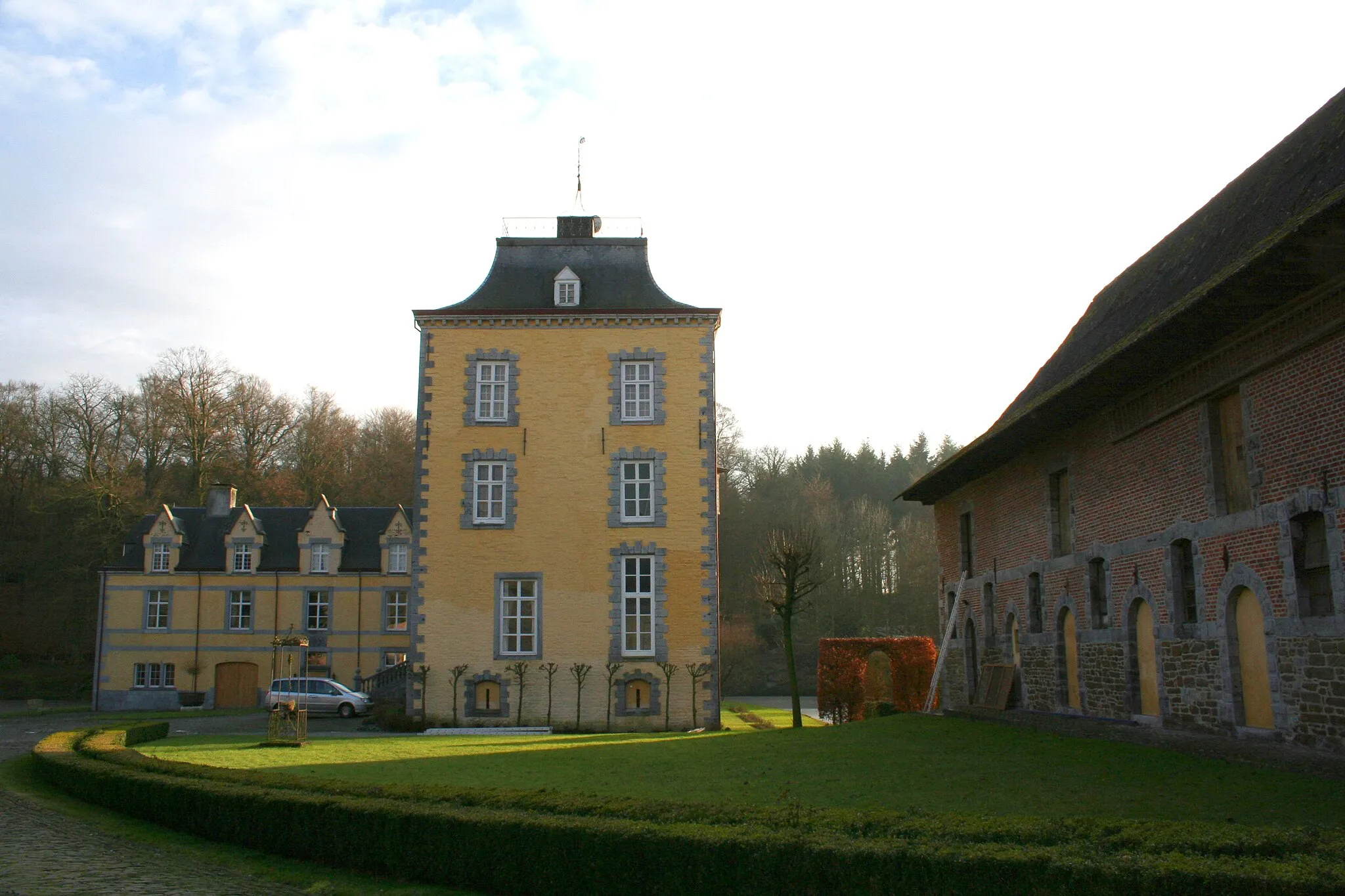
The Vaucouleurs Loop is a scenic and challenging cycling route near the town of Vaucouleurs in Lorraine, France. With a distance of 80 kilometers and an ascent of 839 meters, this road route offers a mix of rolling hills and picturesque countryside views. It is suitable for well-trained amateur cyclists who enjoy a moderate level of difficulty. The route takes you through interesting villages and passes by the charming Château de Gombervaux.
The Meuse Explorer
Ride through charming villages and picturesque landscapes along the Meuse River.
Embark on an adventure through the scenic countryside of Lorraine, starting near Vaucouleurs. The Meuse Explorer route is a gravel ride that spans 96 kilometers with 941 meters of ascent. The journey takes you through Saint-Germain-sur-Meuse, Boucq, Ansauville, Manoncourt-en-Woëvre, Choloy-Ménillot, and concludes at Chalaines. With its invigorating ascents and captivating rural atmosphere, the Meuse Explorer promises an unforgettable cycling experience.
Indulge in the tranquility of Lorraine's scenic landscapes on this road cycling route.
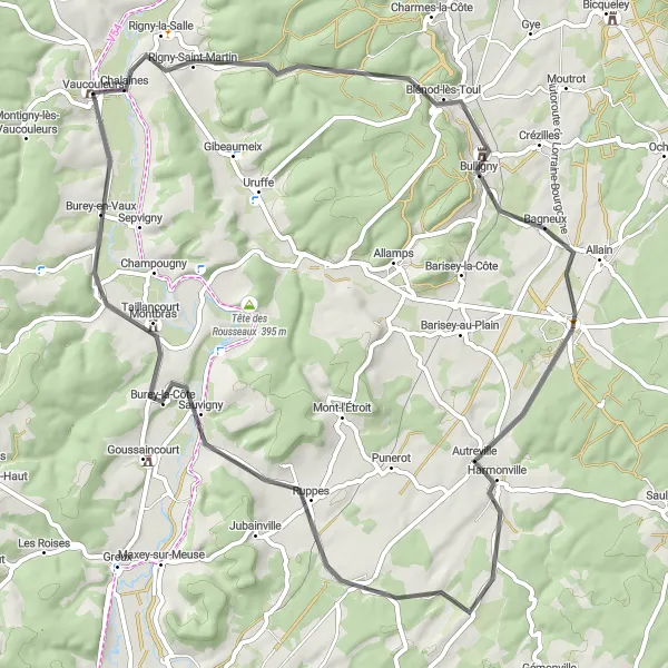
Experience the serenity of Lorraine's countryside with the Scenic Tranquility route. Starting near Vaucouleurs, this road cycling route spans a distance of 67 kilometers with 523 meters of ascent. Along the way, you'll encounter beautiful places like Blénod-lès-Toul, Colombey-les-Belles, Tranqueville-Graux, Burey-la-Côte, and Maxey-sur-Vaise. With its rolling terrain and captivating scenery, this route offers a peaceful escape for road cyclists seeking the beauty of nature.
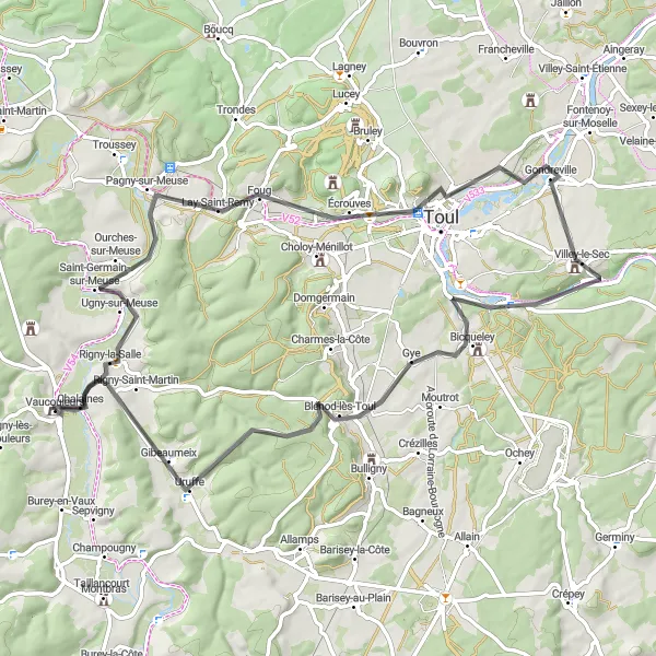
Indulge in a picturesque cycling journey through Lay-Saint-Remy and Blénod-lès-Toul
This 75-kilometer road cycling route takes you through breathtaking landscapes and charming villages. Starting in Vaucouleurs, you'll pass through Lay-Saint-Remy, Côte Barine, Villey-le-Sec, Bicqueley, Blénod-lès-Toul, and Chalaines. With an ascent of 585 meters, this route offers a moderate challenge that amateur cyclists can tackle. Along the way, you'll experience the beauty of the Lorraine region and discover hidden gems.
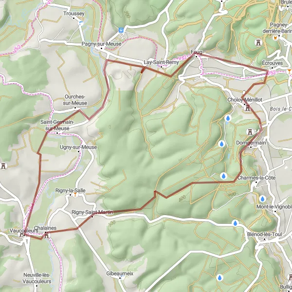
Savor the meandering routes of Lorraine's countryside on this gravel adventure.
Immerse yourself in the captivating landscapes of Lorraine with the Thousand Meanderings route. Starting near Vaucouleurs, this gravel ride covers 43 kilometers with 491 meters of ascent. Along the way, you'll pass through Pagny-sur-Meuse, Foug, Choloy-Ménillot, and conclude your journey at Chalaines. With its gentle ascents and idyllic scenery, this route is perfect for cyclists seeking a relaxed yet scenic adventure.
Cycling routes nearby:

Nearby regions: