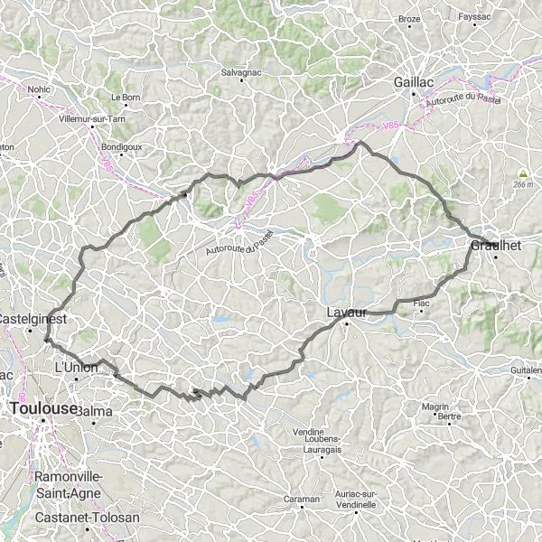
Diverse cycling routes with historic sites.
Cycling routes from Graulhet
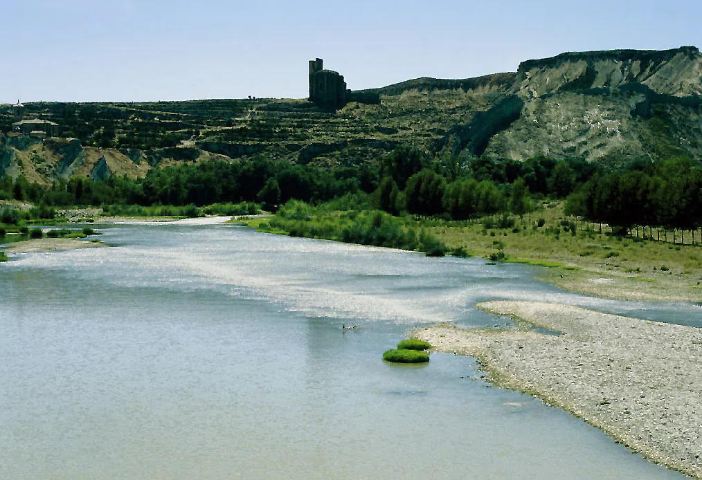
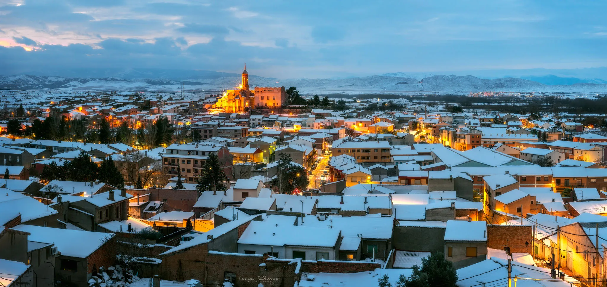
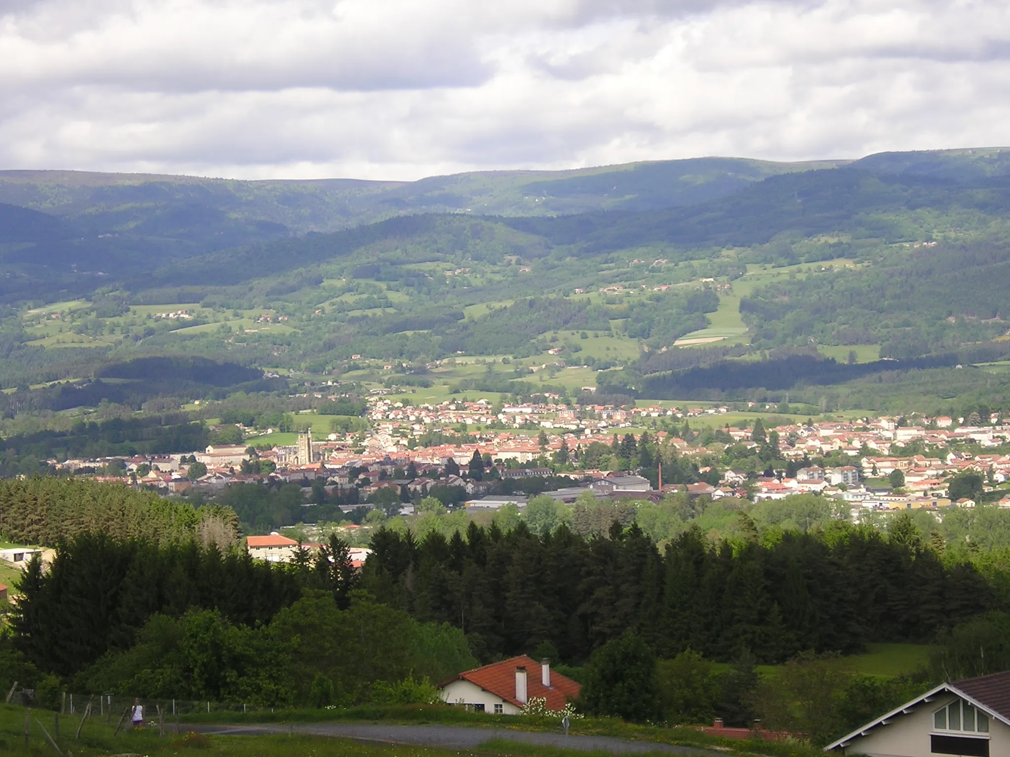
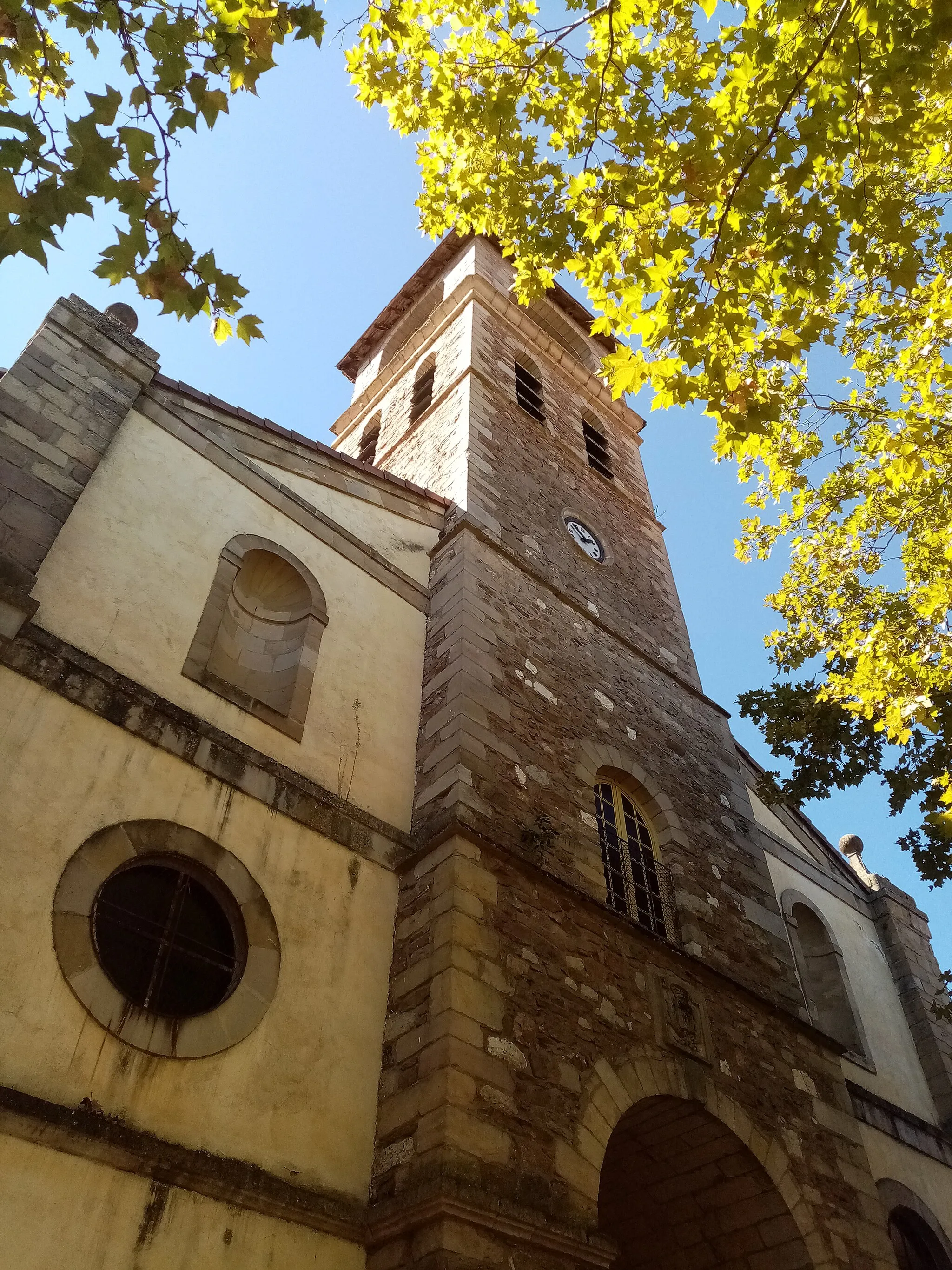
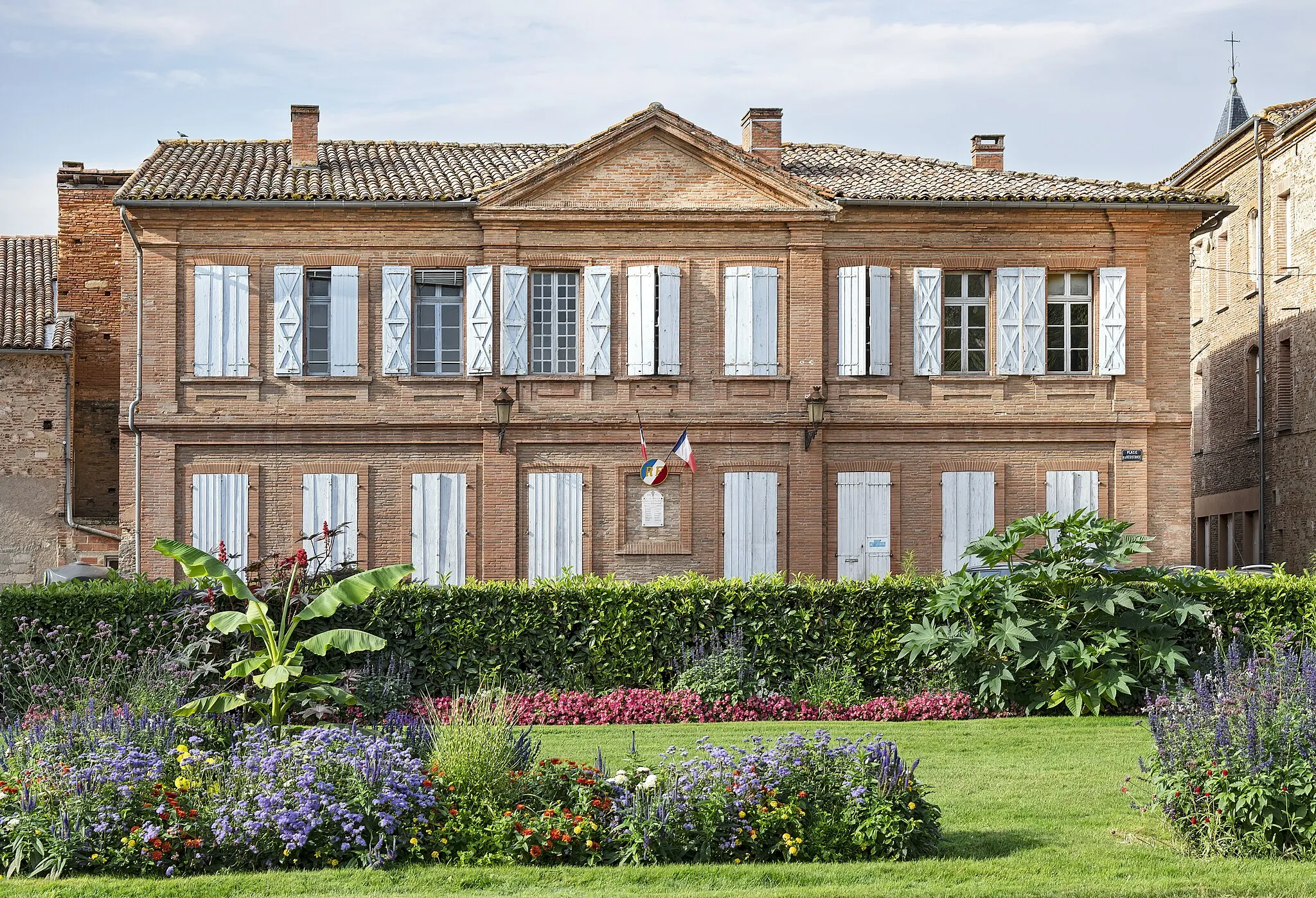
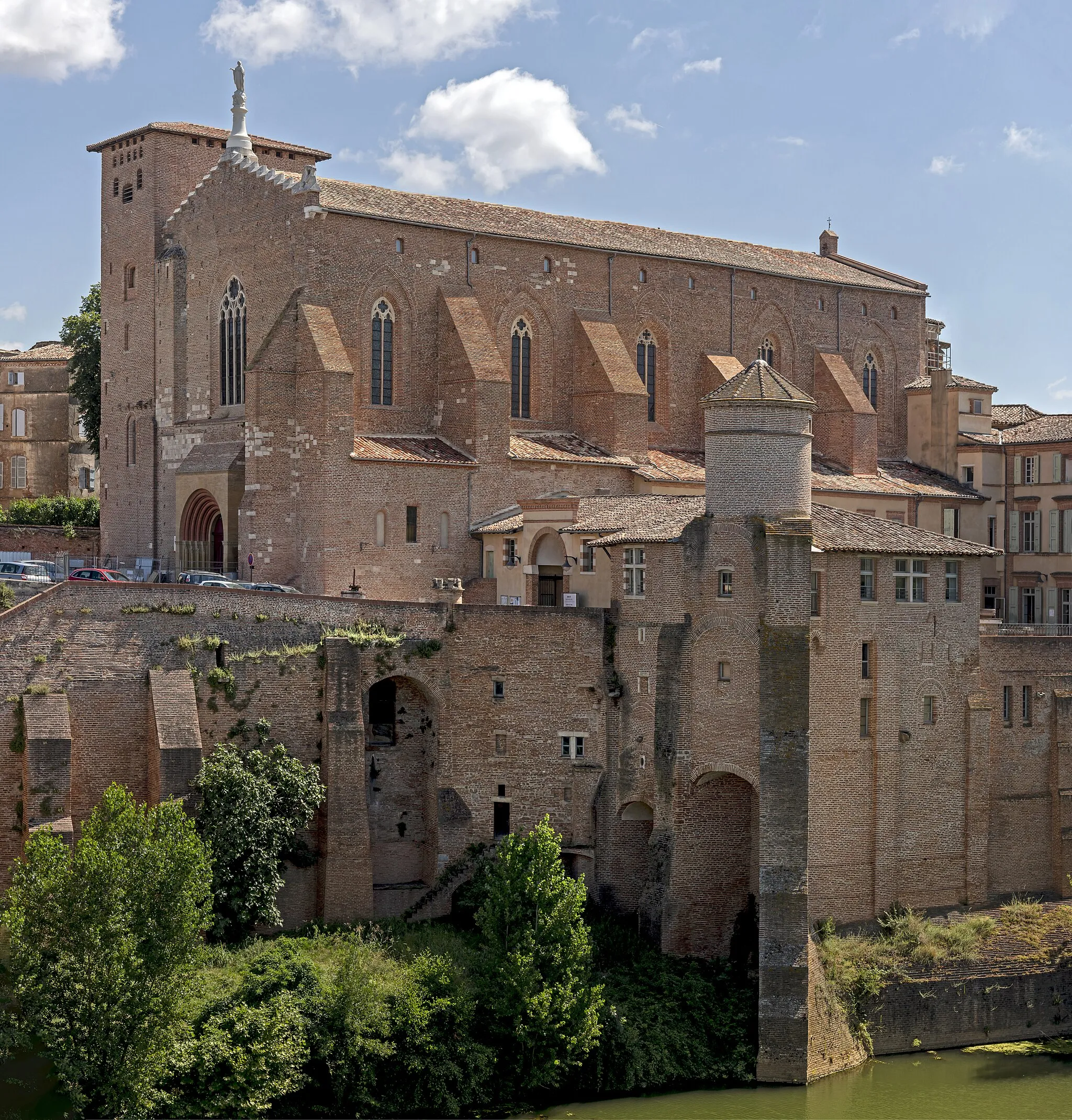
Graulhet is a town located in the Midi-Pyrénées region of France, known for its traditional industries and historic sites. From a cyclist's perspective, Graulhet offers diverse cycling routes suitable for both road and gravel biking. The town is surrounded by beautiful countryside and picturesque landscapes, ideal for leisurely rides and more challenging climbs. One of the well-known cycling spots nearby is the Roc Taurine, a limestone cliff guiding through various rock formations. Whether you're a history enthusiast or simply love cycling in scenic surroundings, Graulhet is a wonderful destination for cyclists.

An exhilarating road cycling route with picturesque highlights
This distinctive and exciting road cycling route takes you through the beautiful countryside near Graulhet. With a total ascent of 1226 meters and a distance of 94 kilometers, this loop is suitable for well-trained amateurs. The route starts in Sieurac and passes by scenic highlights such as the charming village of Fauch, the historic town of Saint-Antonin-de-Lacalm, and the iconic Roc Long. With a difficulty rating of 3 and an epicness rating of 4, this route promises a memorable cycling experience.
Embark on a journey through history and nature on this challenging road cycling route
Covering a distance of 118 km, this road cycling route provides breathtaking views, challenging climbs, and visits to several fascinating châteaux. Begin with the ascent to Moulayrès, where you can enjoy panoramic views of the surrounding countryside. Pass through the historic Château-Haut and continue to Les Cassés, a picturesque village known for its well-preserved medieval charm. The scenic route also takes you through Vendine and Labastide-Saint-Georges, offering a glimpse into the region's rich history and natural beauty.
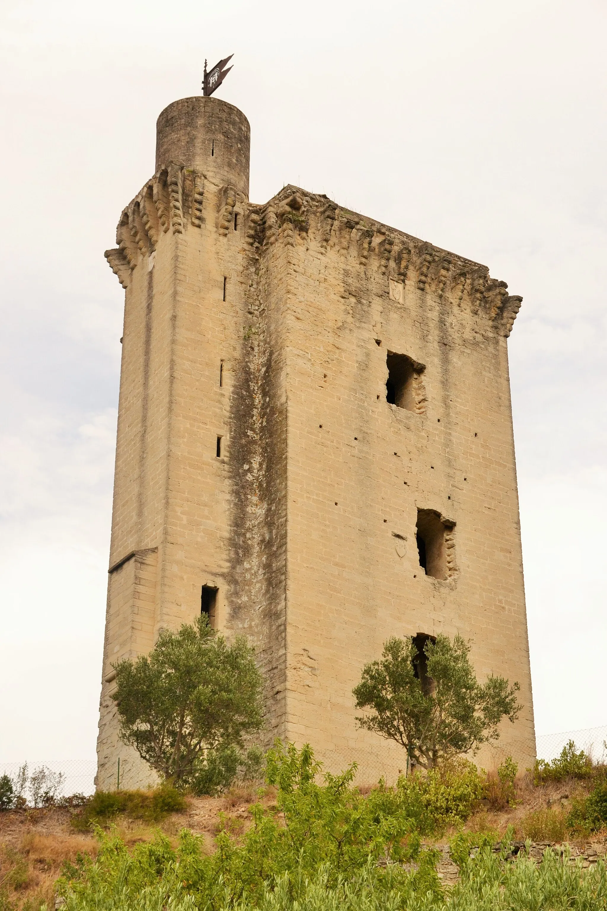
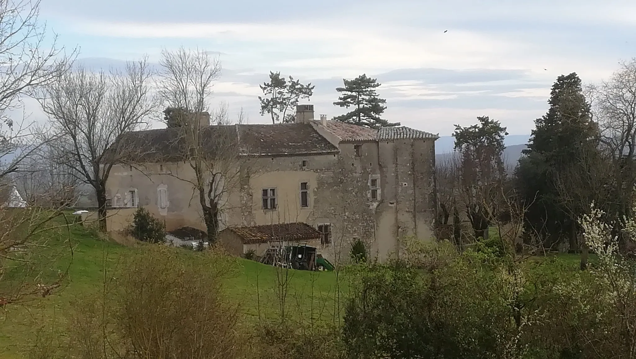
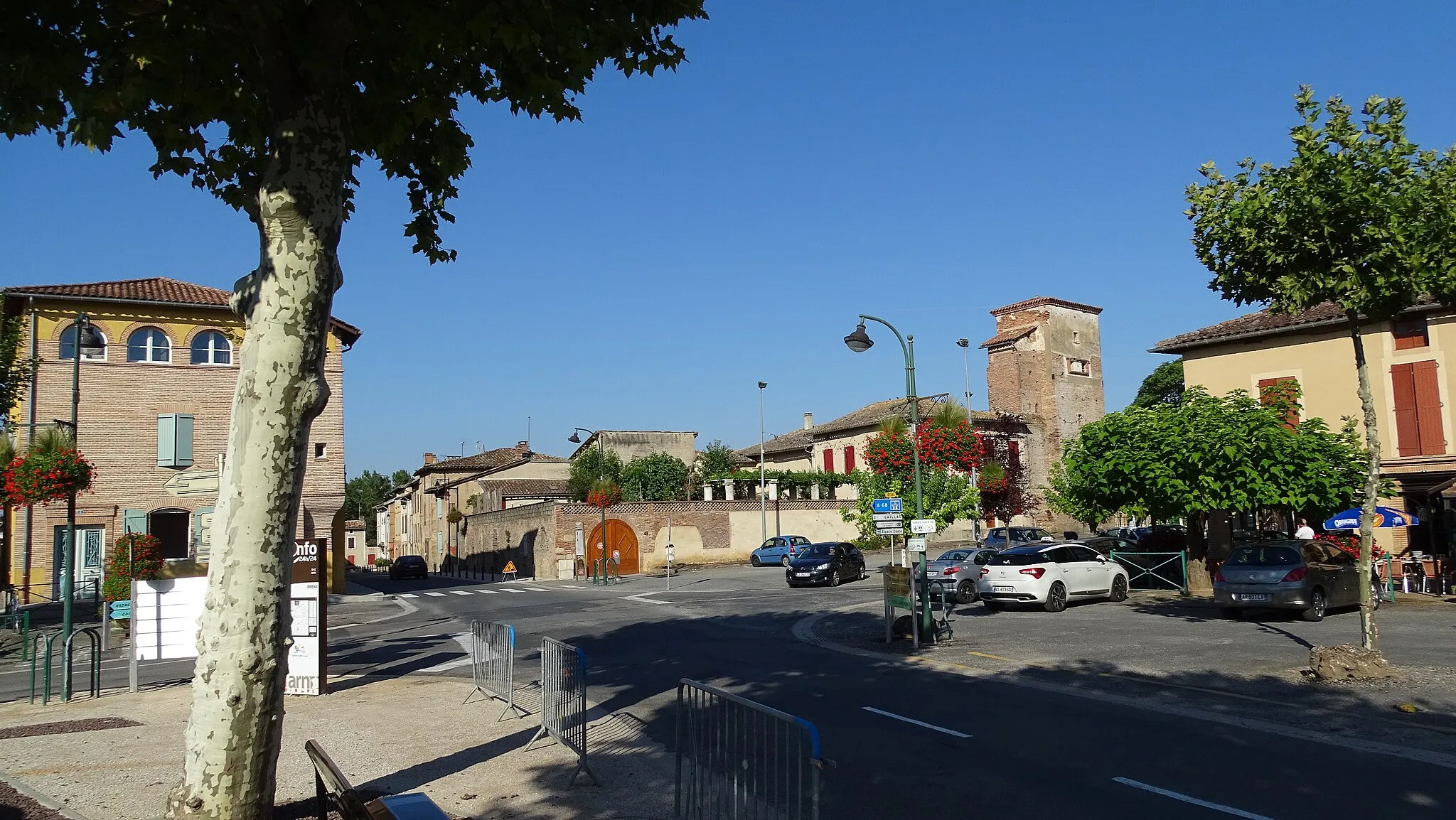
Châteaux and Medieval Villages
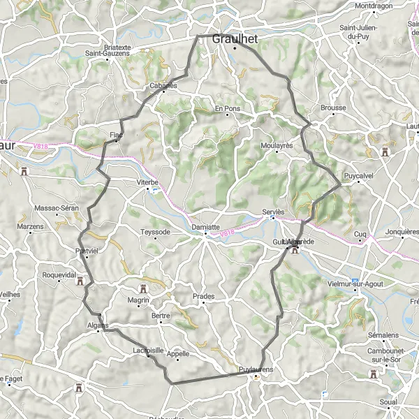
Discover the charm of Algans and Fiac on this scenic road cycling route
Experience the charm of rural Midi-Pyrénées on this 66 km road cycling route. The route takes you through picturesque countryside, past vineyards, and offers stunning views of medieval châteaux and villages. Don't miss a visit to the Château-Haut in Algans and the village of Fiac, known for its picturesque streets and beautiful church. With moderate ascents and descents, this route is suitable for well-trained amateurs looking for a scenic and cultural ride.
Immerse yourself in the beautiful landscapes and rich history of the region
This 74 km road cycling route offers a scenic journey through the picturesque countryside of Midi-Pyrénées. Start your ride in Graulhet and pass through Labastide-Saint-Georges, a village known for its historical significance and well-preserved buildings. Continue to Saint-Sulpice-la-Pointe, where you can explore its medieval architecture and visit the Doll Museum. The route also takes you through the village of Peyrole, with its charming streets and traditional houses. A moderate difficulty level makes it suitable for well-trained amateurs seeking a mix of natural beauty and cultural experiences.
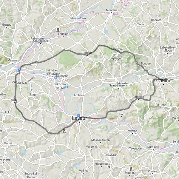
Explore historic villages and scenic landscapes on this road cycling route
Immerse yourself in the rich history and natural beauty of the Midi-Pyrénées region with this road cycling loop near Graulhet. With an ascent of 853 meters and a total distance of 93 kilometers, this route offers a moderate challenge for well-trained amateurs. Starting in Labastide-Saint-Georges, highlights along the way include the charming village of Verfeil, the picturesque town of Roquesérière, and the scenic village of Castela. With a difficulty rating of 3 and an epicness rating of 3, this route offers a delightful cycling experience.
Scenic Gravel Adventure
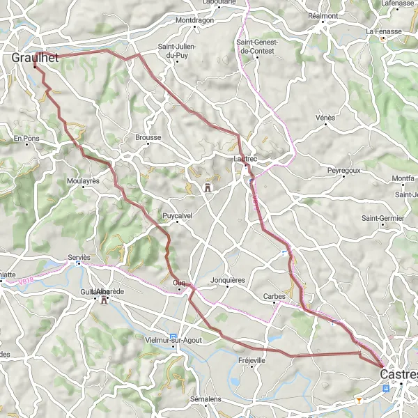
Escape the beaten path and embrace the beauty of the gravel routes
This 60 km gravel cycling route takes you off the beaten path and into the scenic countryside of Midi-Pyrénées. Experience the thrill of riding on gravel trails as you enjoy breathtaking views, charming villages, and peaceful landscapes. Visit the village of Lautrec, famous for its pink garlic and beautiful views from its hilltop location. Continue to Puycalvel, a picturesque village with narrow streets and traditional houses. The route starts and ends in Graulhet, a great base to explore the region's gravel adventures.
Experience the diversity of the region on this road cycling journey
Embark on a road cycling adventure through the diverse landscapes near Graulhet. With a total ascent of 1157 meters and a distance of 128 kilometers, this loop is suitable for experienced amateurs. Starting in Labastide-Saint-Georges, highlights along the way include the charming village of Teulat, the vibrant town of Montrabé, and the picturesque village of Loupiac. With a difficulty rating of 4 and an epicness rating of 4, this route offers a rewarding cycling experience.
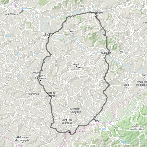
Sieurac - Fauch - Réalmont Loop
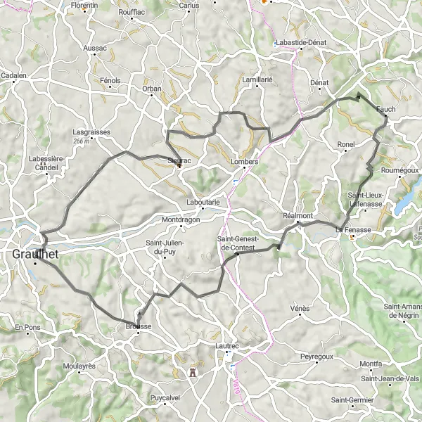
Cycling through picturesque landscapes and historic towns
Discover the beauty of the Midi-Pyrénées region on this road cycling route near Graulhet. With an ascent of 763 meters and a distance of 67 kilometers, this loop is suitable for well-trained amateurs. Starting in Sieurac, highlights along the way include the charming village of Fauch, the historic town of Réalmont, and the vibrant town of Graulhet. With a difficulty rating of 2 and an epicness rating of 3, this route promises an enjoyable cycling adventure.

Explore two beautiful châteaux along this scenic road cycling route
This 92 km road cycling route takes you through picturesque landscapes, charming villages, and past two impressive châteaux. Enjoy the challenging climb up to Château de Brametourte and be rewarded with stunning views. Continue your journey to the medieval village of Puylaurens and its majestic castle. The route offers a mix of flat sections and rolling hills, making it suitable for well-trained amateurs. A great ride showcasing the rich history and natural beauty of the region.

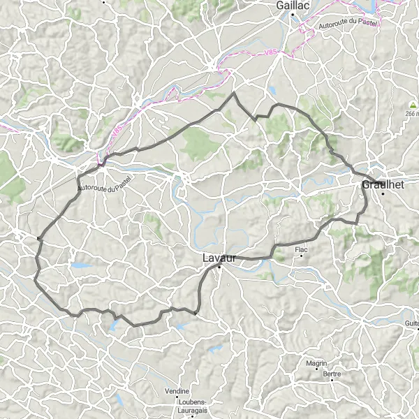
Explore rural landscapes on this road cycling adventure
Discover the tranquility of the Midi-Pyrénées region with this road cycling loop near Graulhet. With an ascent of 808 meters and a total distance of 63 kilometers, this route offers a moderate challenge for well-trained amateurs. Starting in Pratviel, highlights along the way include the picturesque village of Lacougotte-Cadoul and the charming hamlet of Ambres. With a difficulty rating of 2 and an epicness rating of 3, this route showcases the rural beauty of the area.
Cycling routes nearby:


Nearby regions: