Serene Cycling in Midi-Pyrénées
Cycling routes from Rieupeyroux
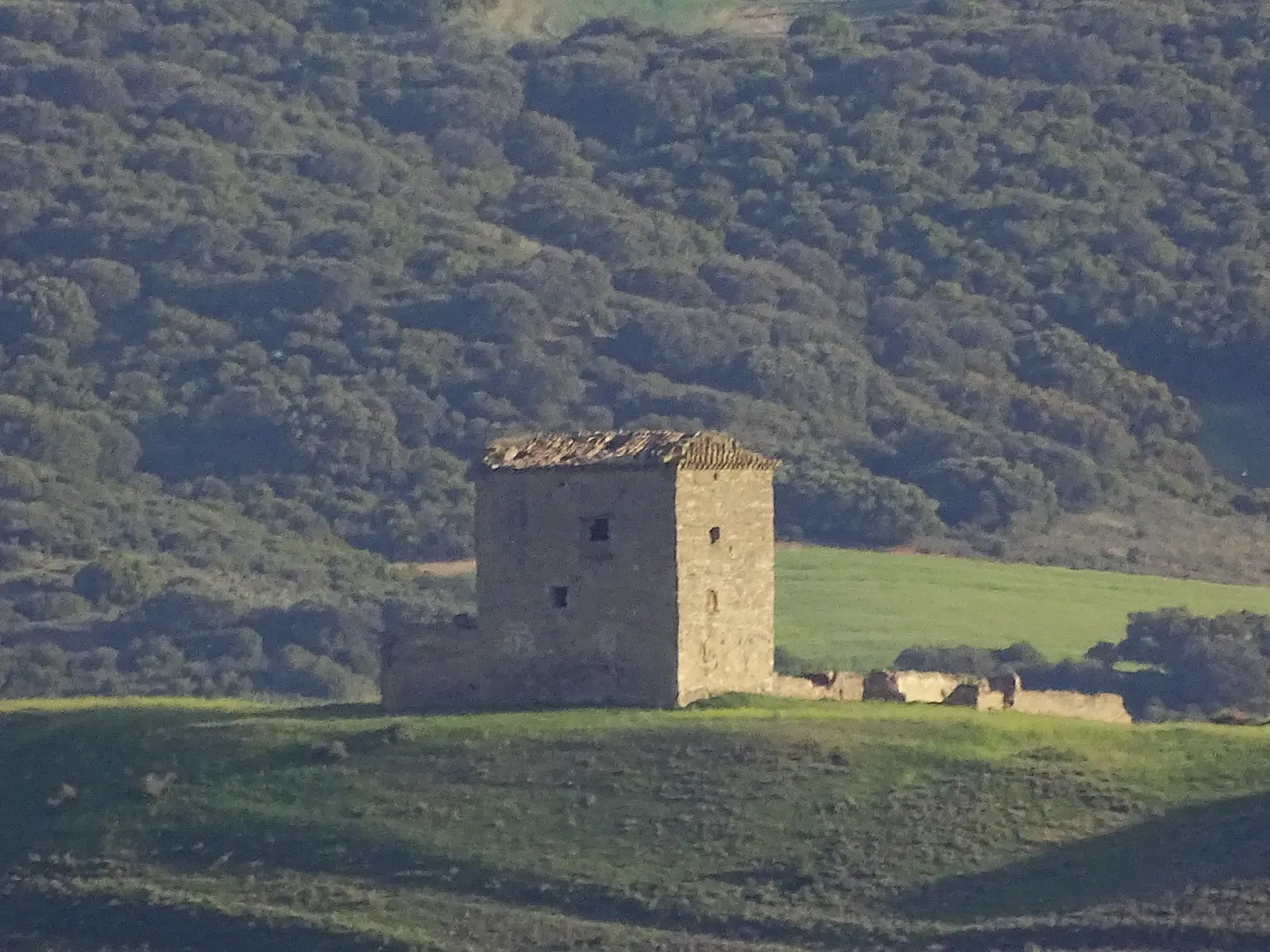
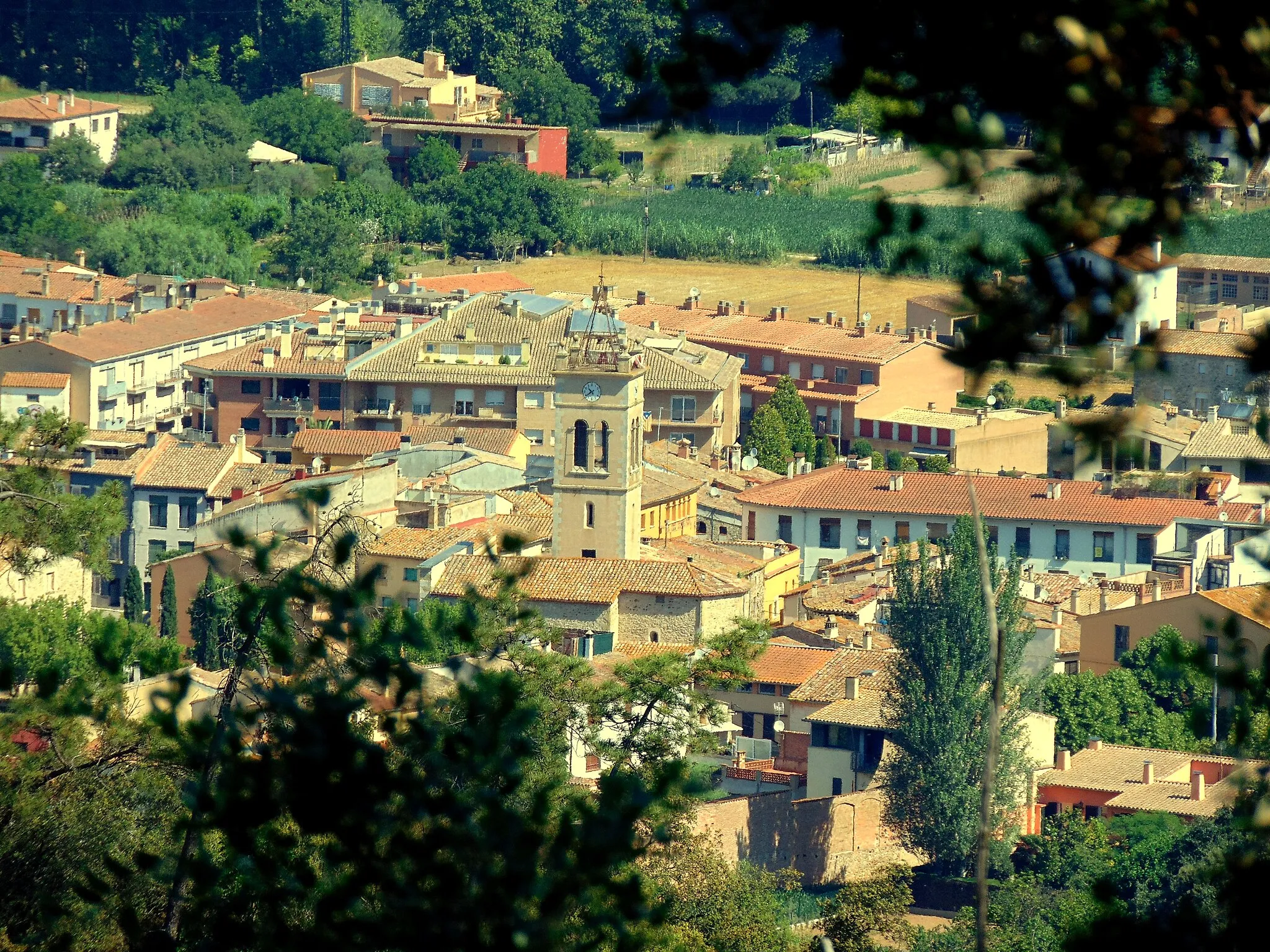
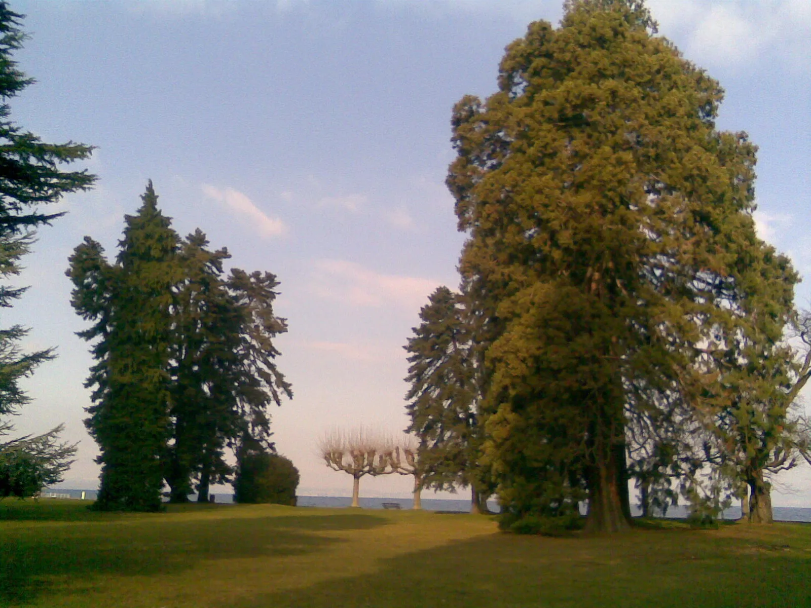
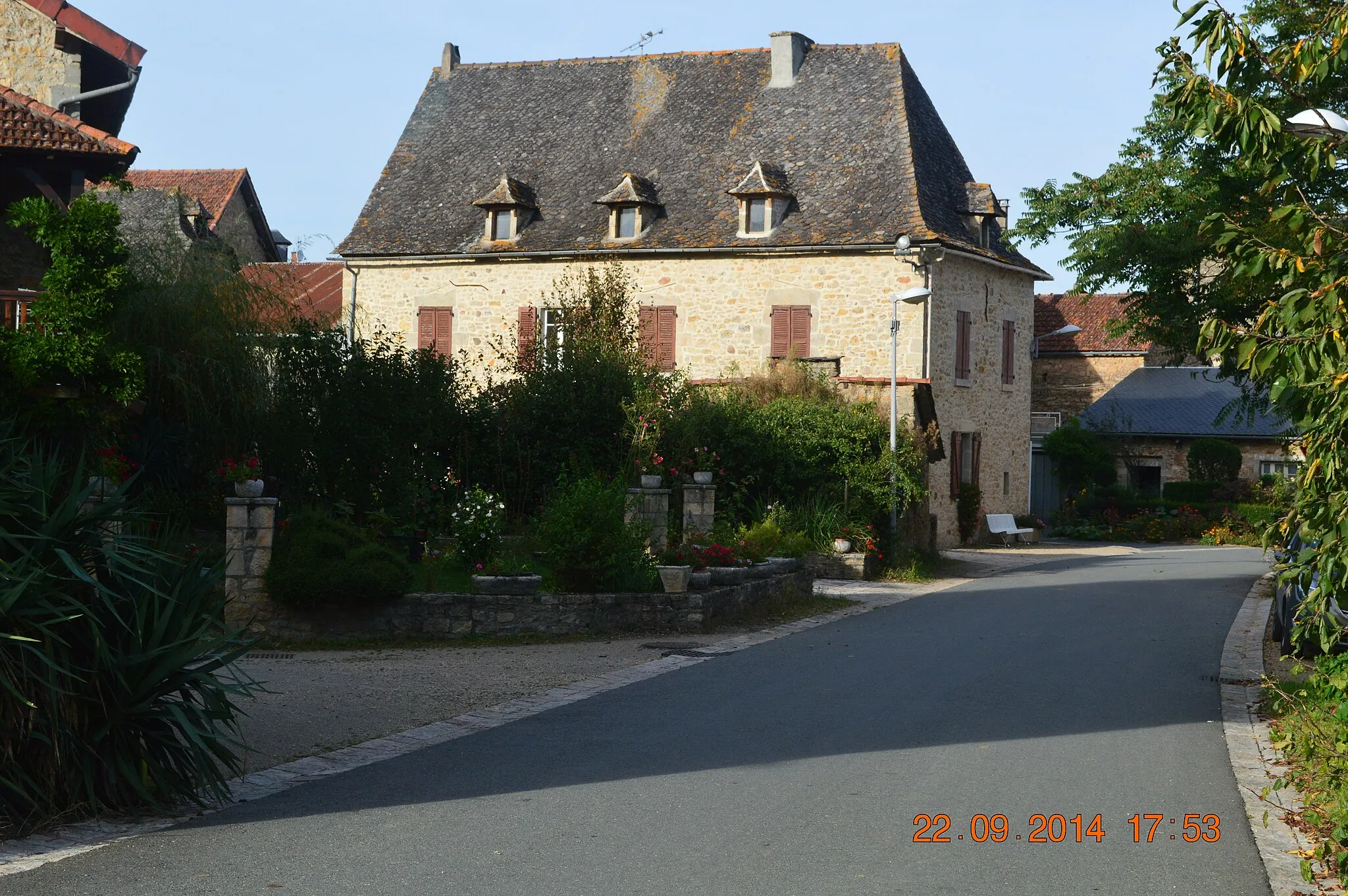
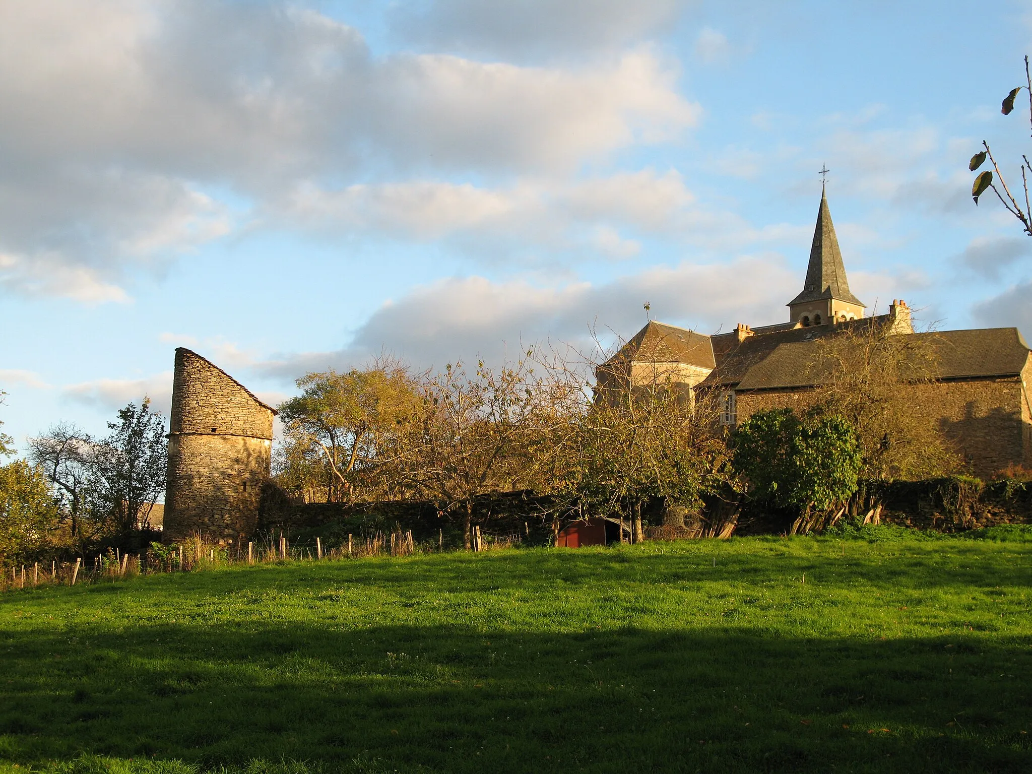
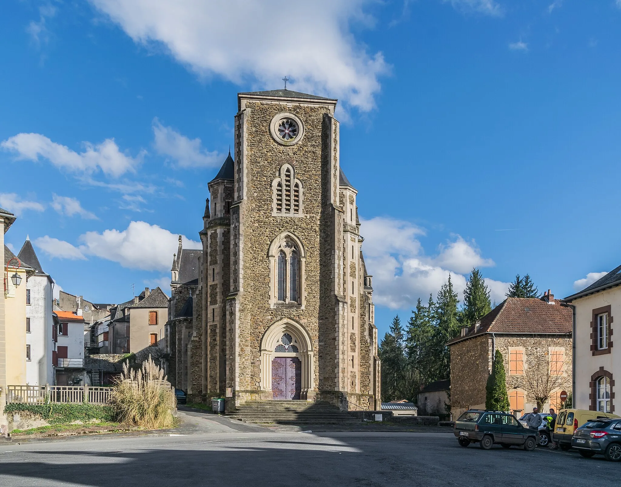
Rieupeyroux is a commune located in the Midi-Pyrénées region of France. From a cyclist's perspective, the locality offers a mix of challenging and scenic routes. The area is characterized by rolling hills and charming countryside landscapes, making it well-suited for road and gravel cycling. Nearby, cyclists can explore the foothills of the Massif Central and tackle challenging rides in the Aveyron region. Rieupeyroux is not particularly famous for cycling, but its tranquil surroundings make it an ideal destination for cycling enthusiasts seeking a peaceful and visually stunning ride.
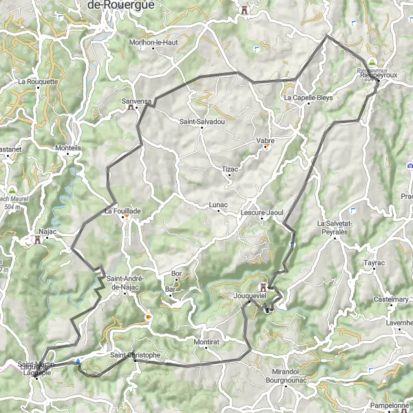
Visit the impressive Château de Roumégous and enjoy the scenic views in Sanvensa
Embark on this road cycling route that showcases the architectural wonders of Roumégous and the breathtaking landscapes of Sanvensa. With a distance of 88 km and ascent of 1488 m, this route offers both challenging climbs and picturesque surroundings. Starting near Rieupeyroux, you'll explore the stunning Château de Roumégous before reaching Jouqueviel and Saint-Martin-Laguépie. La Fouillade and Sanvensa provide great opportunities to soak in the scenic beauty of the region. Rieupeyroux, the starting point, is also worth exploring, with its historical charm and authentic atmosphere. This route is perfect for cyclists looking to admire both architectural gems and natural landscapes.
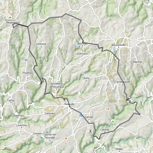
The Hilly Circuit
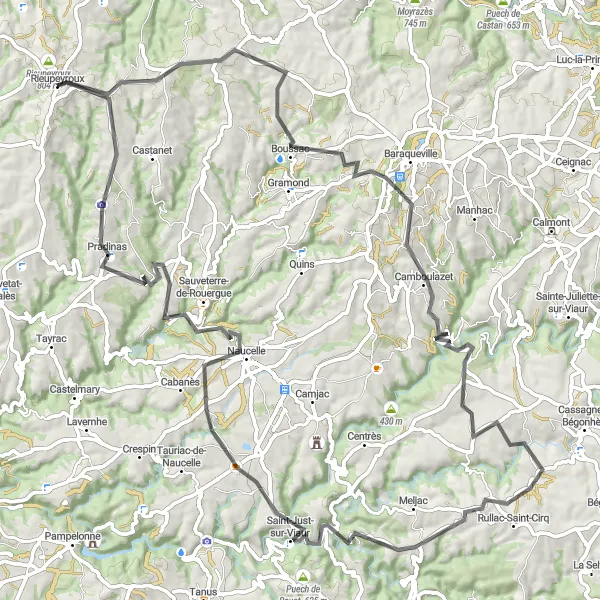
An exhilarating ride through picturesque hilly roads
Take on this challenging circuit that combines scenic landscapes, historical villages, and challenging hills. With a total ascent of 1,708 meters over a distance of 96 kilometers, this route is not for the faint-hearted. The hilly terrain will test your endurance and reward you with breathtaking views of Midi-Pyrénées. You will pass through charming villages like Camboulazet, Rullac-Saint-Cirq, Saint-Just-sur-Viaur, Naucelle, and Pradinas, each offering a unique glimpse into the region's rich history and culture. Get ready for an epic cycling adventure that will leave you with unforgettable memories.
The Road to Goutrens
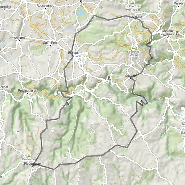
Embark on a scenic road journey from Rieupeyroux to Goutrens
Take in the breathtaking beauty of the landscape as you cycle along this 61-kilometer road route. With a challenging ascent of 1105 meters, this ride is suitable for experienced cyclists looking for a rewarding workout. Experience the charm of Goutrens and its lovely surroundings, and enjoy the stunning panoramic views along the way.
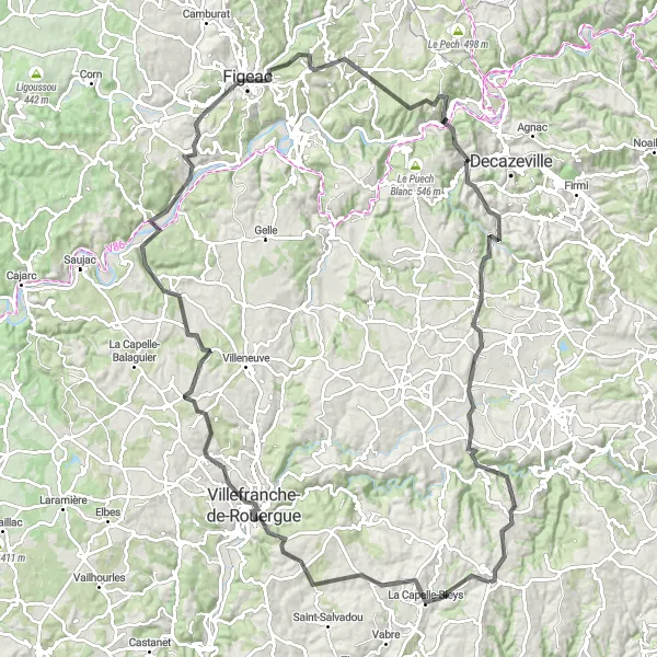
Experience the natural beauty of La Capelle-Bleys and Figeac
This road cycling route takes you on a journey through cascading hills and historical landmarks. With a distance of 127 km and an ascent of 2109 m, this route offers a challenging but rewarding ride. Starting in Rieupeyroux, you'll pass through picturesque villages like La Capelle-Bleys and Toulonjac. As you continue, you'll encounter the impressive Monument du Cingle and the medieval town of Figeac. The route also includes stops at Montbazens and Prévinquières, both known for their historical significance. By the end of this route, you'll have experienced the natural wonders and historical treasures of this region.
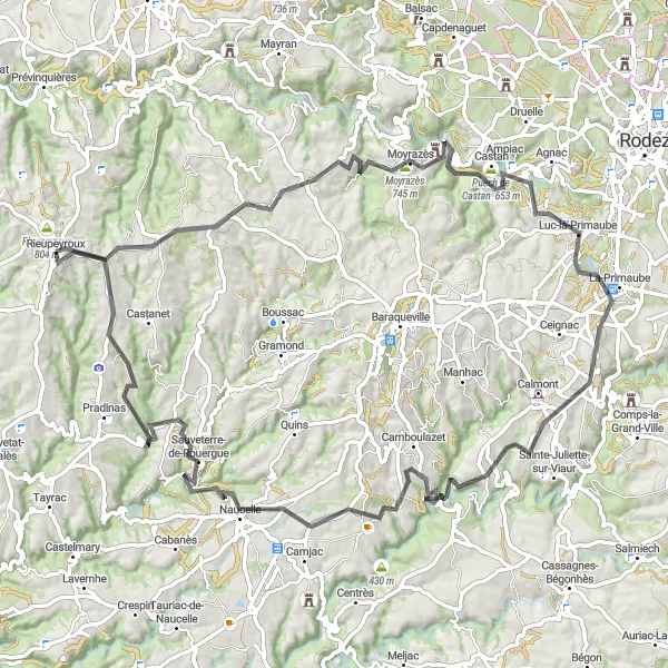
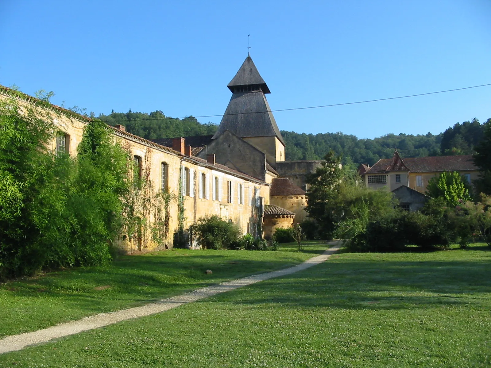
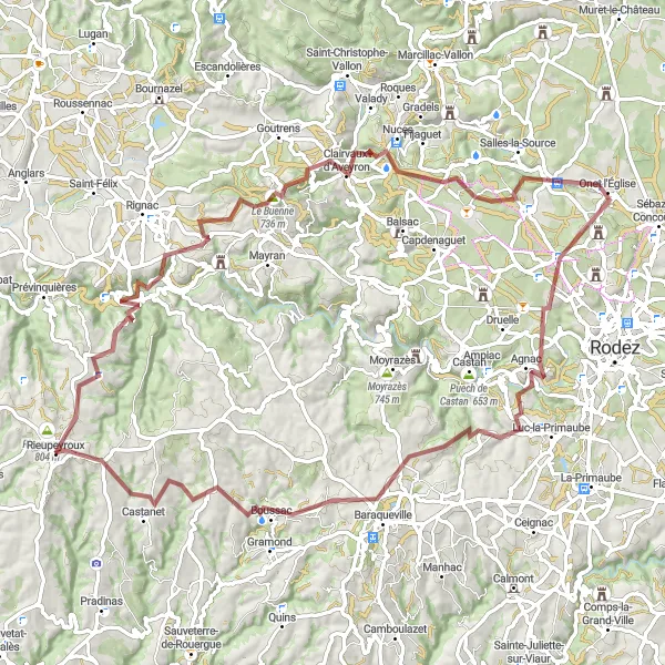
Discover the historic château du Cayla and the picturesque village of Camboulazet
This road cycling route takes you through the scenic landscapes of Rouergue and Primaube. With a total distance of 94 km and an ascent of 1847 m, the route offers a challenging ride with beautiful views. Starting in Rieupeyroux, you'll pass Moyrazès and Le château du Cayla before reaching Luc-la-Primaube. The highlight of this route is undoubtedly the charming village of Camboulazet. Its picturesque streets and stunning views of the surrounding countryside make it a must-visit spot. Sauveterre-de-Rouergue also provides a great opportunity to explore an authentic medieval town. Overall, this route offers a combination of challenging climbs and scenic beauty, making it a memorable cycling experience.
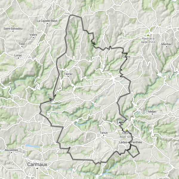
The Road to Camboulazet
Embark on a scenic road journey to Camboulazet
Discover the beauty of the French countryside on this 76-kilometer road route. With a challenging ascent of 1480 meters, this ride will test your cycling skills and endurance. Enjoy the breathtaking views of the rolling hills and valleys as you make your way to Camboulazet. Pass through charming villages and soak in the peaceful atmosphere of the surrounding countryside.
Conquer the toughest road routes near Rieupeyroux
Test your cycling skills and endurance on this challenging 117-kilometer road route. With a staggering ascent of 2072 meters, this route is not for the faint-hearted. Prepare yourself for steep climbs, exhilarating descents, and breathtaking views as you explore the dramatic landscapes of the Midi-Pyrénées region. Journey through picturesque villages and soak in the beauty of the surroundings.
Escape to the idyllic countryside on this challenging gravel route
Embark on an adventure through the rugged terrains and picturesque landscapes surrounding Rieupeyroux. This 98-kilometer gravel route offers a challenging ride with a total ascent of 1766 meters. Immerse yourself in the beauty of nature and experience the tranquility of the countryside as you cycle through charming villages and discover hidden gems along the way.
Discover the charm of Le Buenne and the rustic beauty of Château de Panat
This gravel cycling route is perfect for riders seeking adventure and unspoiled natural beauty. With a distance of 93 km and an ascent of 1889 m, this challenging route promises thrilling off-road sections. As you pedal through the rugged terrain, you'll encounter the picturesque village of Rieupeyroux, starting point of the journey. Le Buenne will captivate with its natural charm and tranquility, while Château de Panat offers an idyllic setting amidst scenic landscapes. Puech de la Base and Château de Vabre also provide opportunities to admire the unique beauty of the region. With its combination of gravel paths and breathtaking views, this route showcases the untamed side of Rieupeyroux.
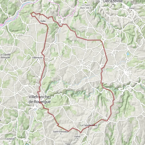
Immerse yourself in the rural charm of La Capelle-Bleys and the historical ambiance of Salles-Courbatiès
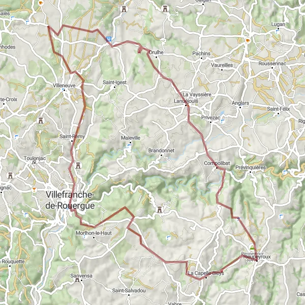
This gravel cycling route takes you off the beaten path, offering a unique glimpse into the rural and historical side of Rieupeyroux. With a distance of 79 km and an ascent of 1558 m, this route ensures a thrilling and scenic adventure. Starting in the charming village of La Capelle-Bleys, you'll ride through picturesque landscapes filled with rugged beauty. Morlhon-le-Haut and Compolibat are perfect spots to immerse yourself in the tranquility of the countryside. Along the way, you'll also encounter the historical village of Salles-Courbatiès, known for its well-preserved architecture and ancient ambiance. This route is ideal for riders looking for an off-the-beaten-path gravel experience.
Cycling routes nearby:


Nearby regions: