Versatile cycling options in both urban and rural areas.
Cycling routes from Anzin-Saint-Aubin
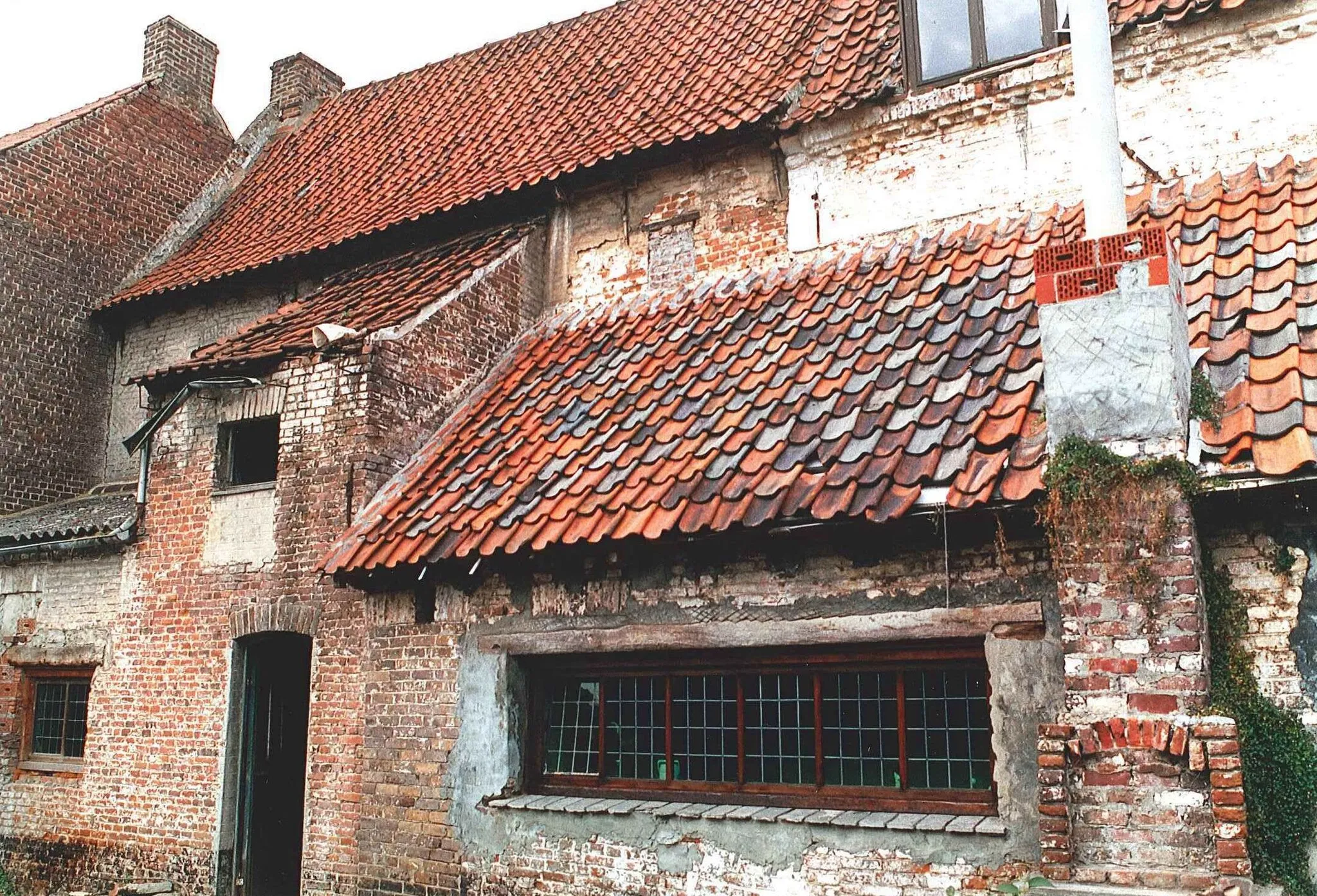
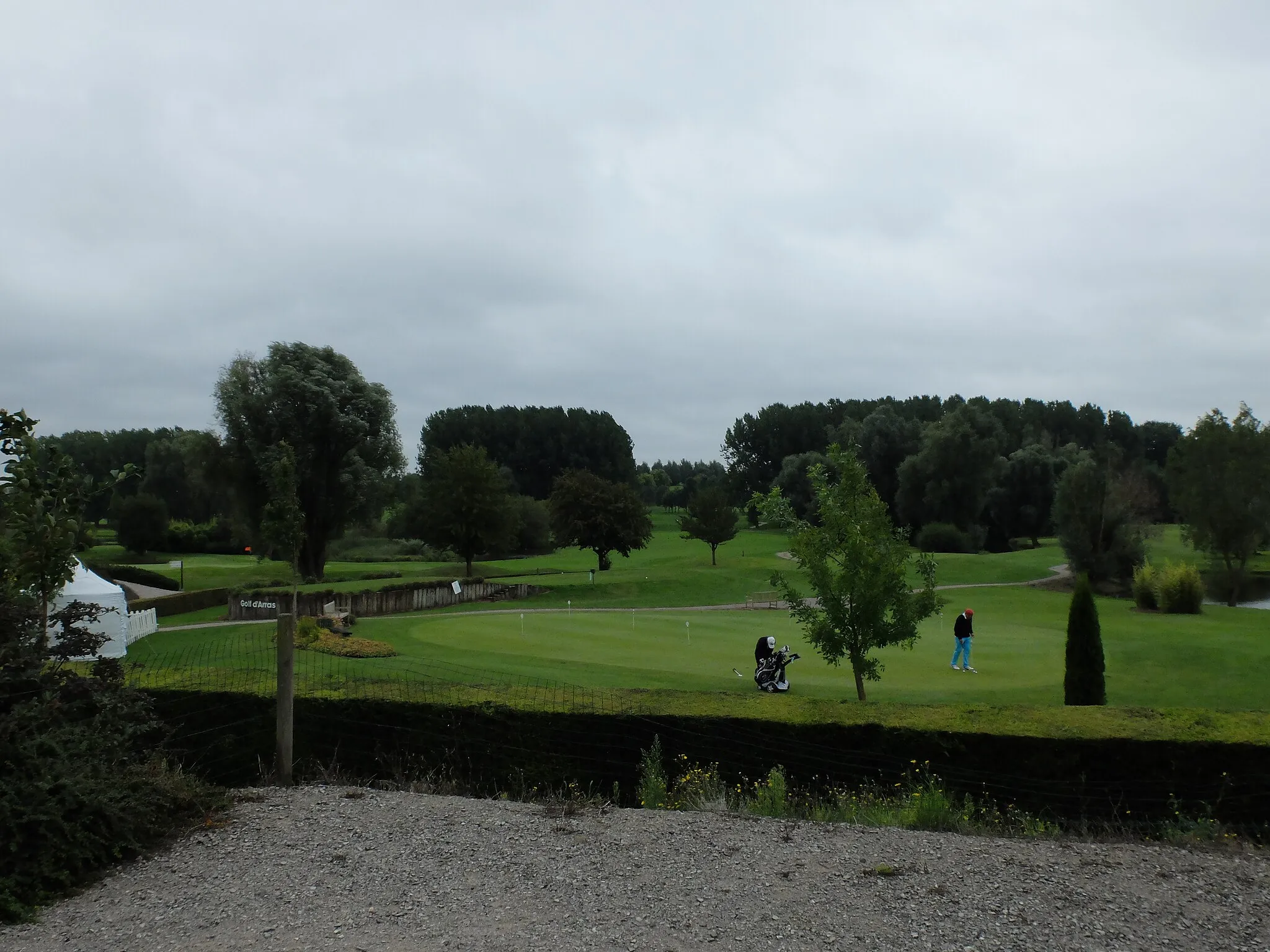
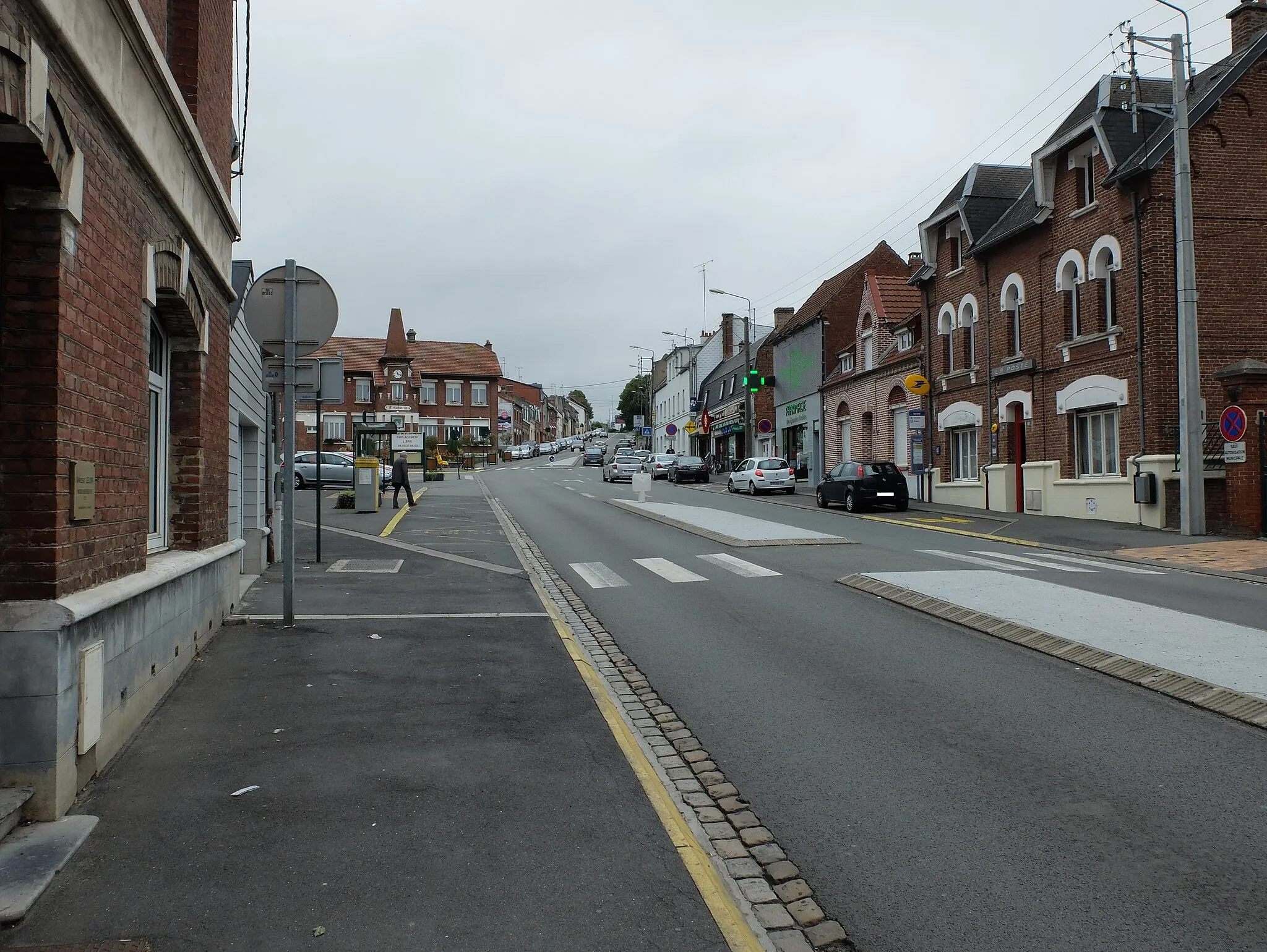
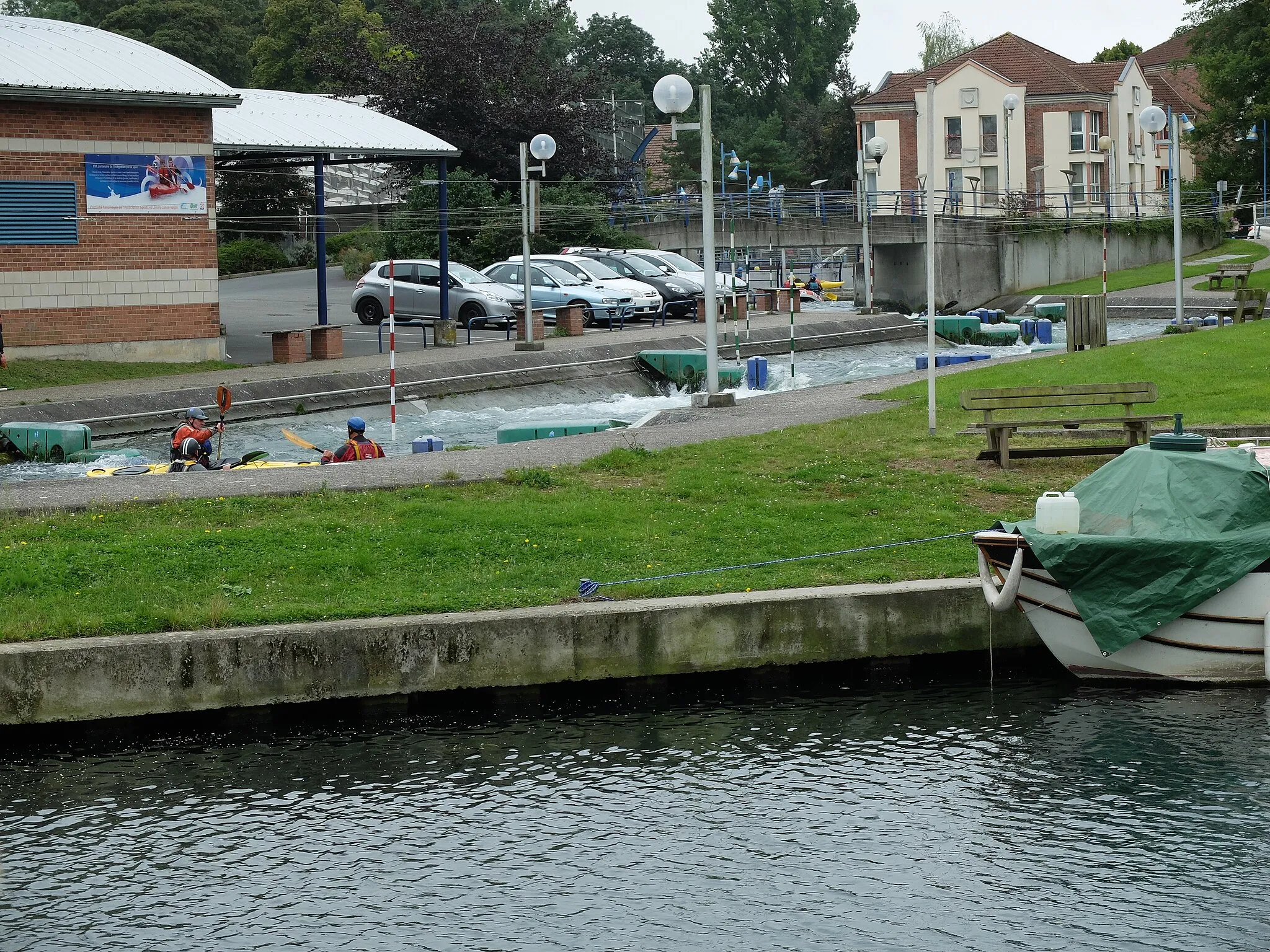
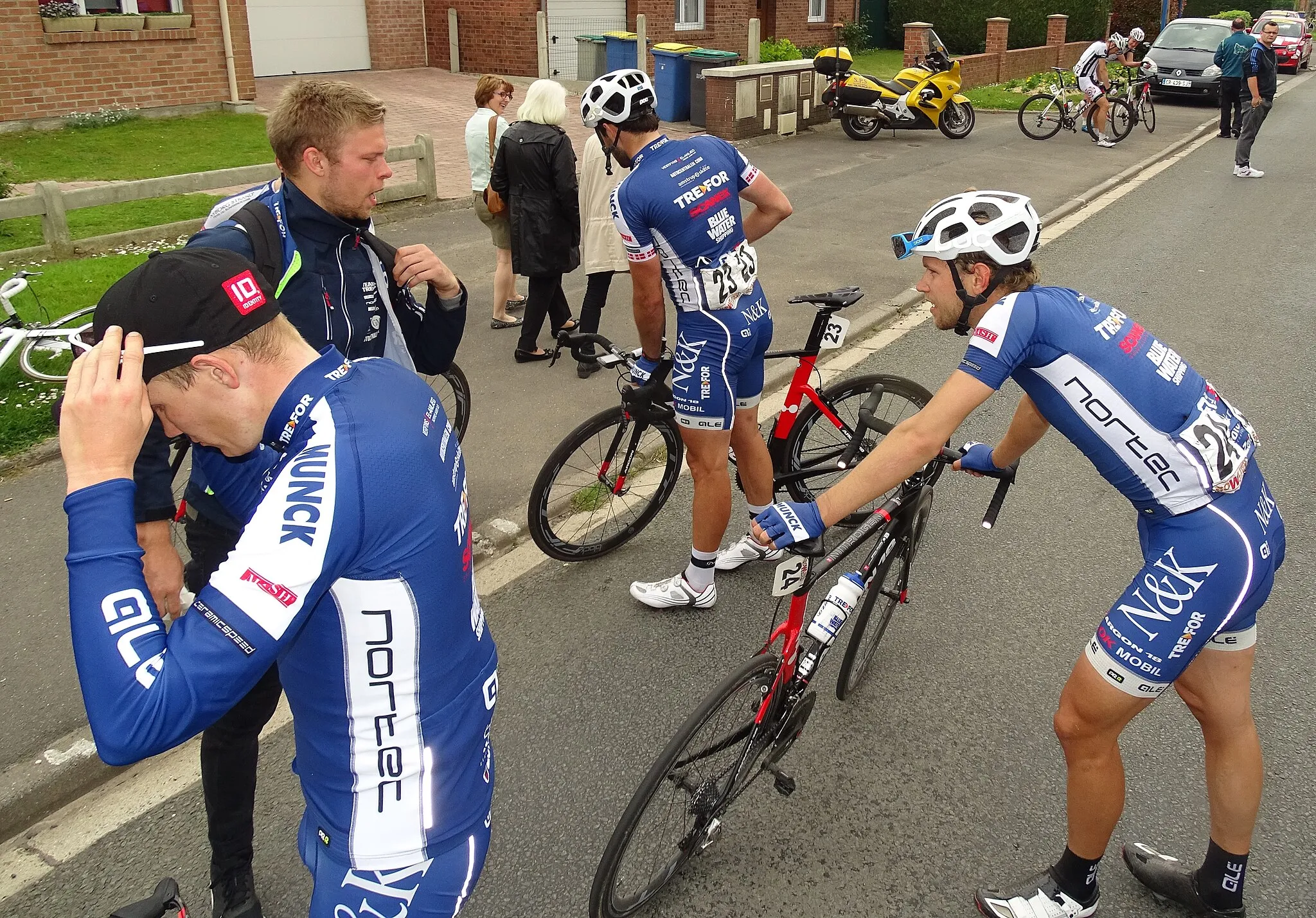
Anzin-Saint-Aubin, situated in the Nord-Pas de Calais region of France, provides a mix of urban and rural cycling experiences for road and gravel cyclists. The locality features a combination of quiet country roads and urban streets, allowing cyclists to choose their preferred routes based on their preferences. While there may not be any famous cycling spots or legendary climbs nearby, Anzin-Saint-Aubin offers a cyclist-friendly environment with amenities catering to cyclists' needs. Cyclists can enjoy exploring the scenic countryside or navigating the urban streets for a more dynamic ride. With its mix of terrain options and cyclist-friendly atmosphere, Anzin-Saint-Aubin ranks as a 3 on the cyclist perspective scale.

Cycle through charming villages and ascend Mont César.
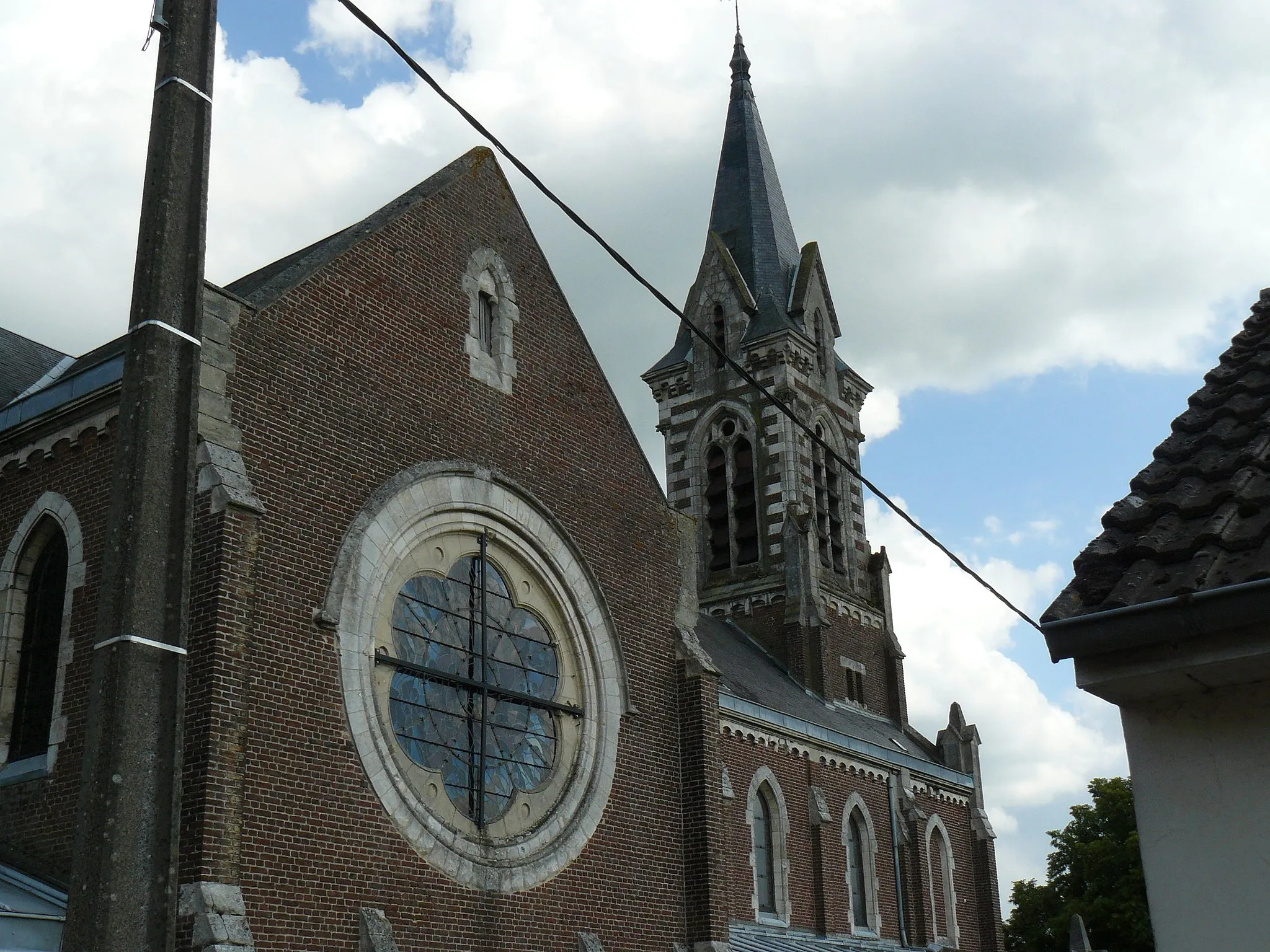
This gravel route starting from Anzin-Saint-Aubin takes you through picturesque villages and offers stunning views from Mont César. With a total distance of 29 kilometers and 191 meters of ascent, this route is suitable for experienced cyclists. The highlights along the route include Mont Saint-Vaast, Berneville, and Étrun.

Discover historical landmarks and enjoy the ascent to Mont César.
Embark on a 65-kilometer gravel route starting from Anzin-Saint-Aubin. This route takes you through historical landmarks and offers picturesque views from Mont César. With 338 meters of ascent, this route is recommended for cyclists with moderate to advanced skills. The highlights include Mont Saint-Vaast, Dainville, Bailleulval, Couturelle, Manin, and Marœuil.

Discover the historic gems of the region on this road cycling route
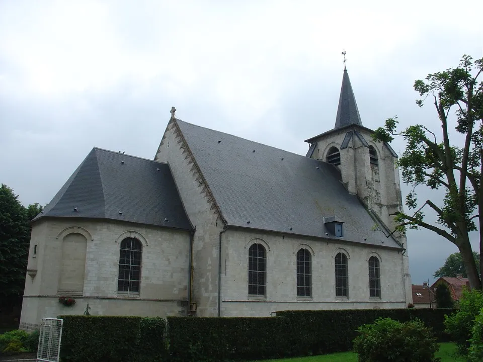
The Heritage Trail is a captivating road cycling route that takes you through some of the most historically significant sites in the region. With a total distance of 76 kilometers and an elevation gain of 288 meters, this route offers a mix of moderate climbs and scenic flats. The highlight of this route is Givenchy-en-Gohelle, a village known for its World War I memorial sites and beautiful war cemeteries. The route also passes through La Bassée, a picturesque town with a fascinating history and stunning canal views.

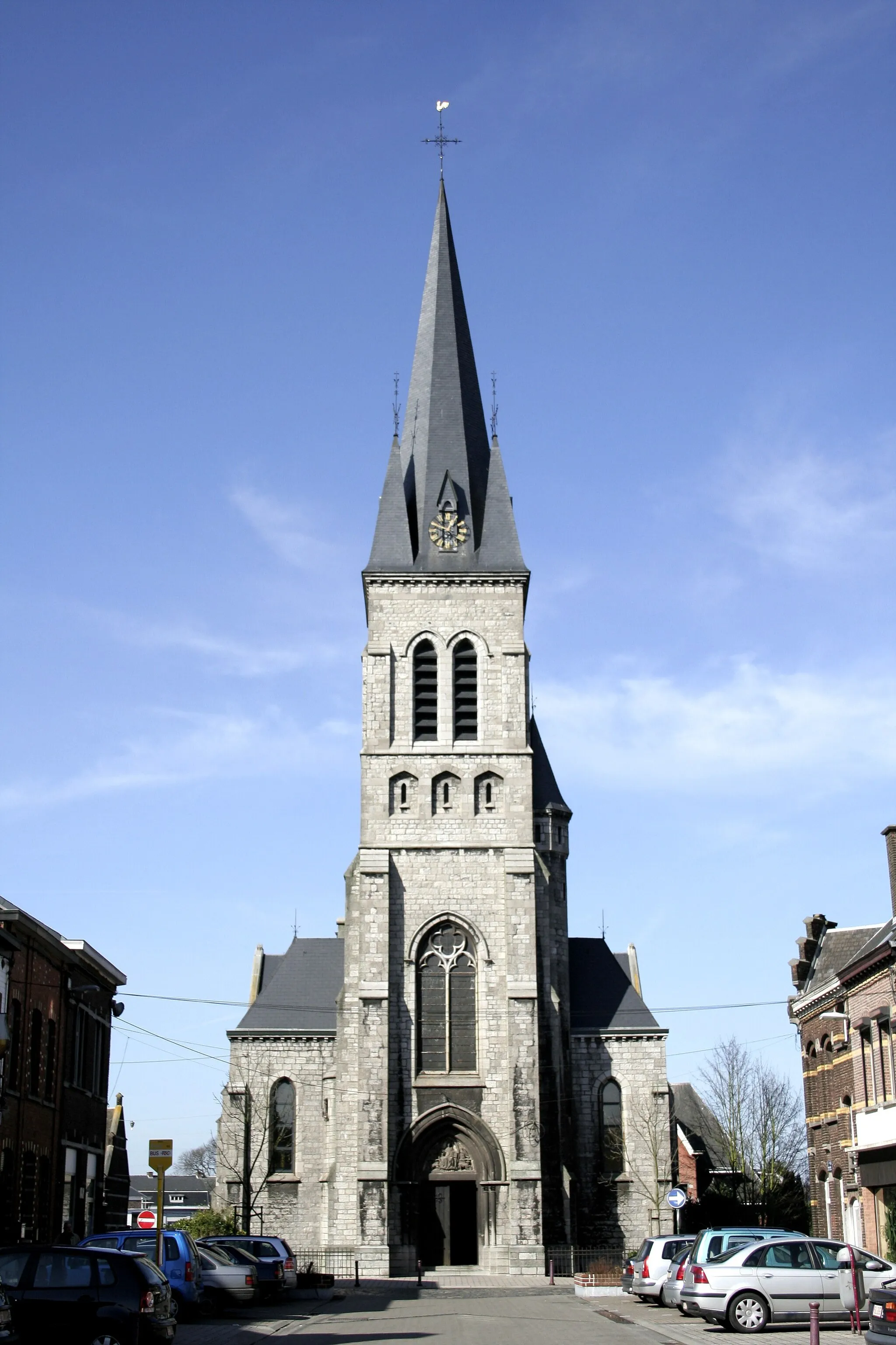
Explore the countryside and reach the historic town of Arras.
Embark on this scenic gravel route starting from Anzin-Saint-Aubin and enjoy the beautiful countryside views. With a total distance of 43 kilometers and 249 meters of ascent, this route caters to experienced gravel riders. The highlights along the route include Boiry-Notre-Dame, Wancourt, Arras, and the Beffroi.

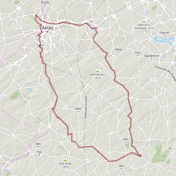
Embark on an unforgettable road cycling adventure through scenic countryside
The Countryside Explorer is an awe-inspiring road cycling route that showcases the picturesque countryside of the region. With a total distance of 133 kilometers and an elevation gain of 498 meters, this route is suitable for experienced cyclists seeking challenging terrain and breathtaking landscapes. The highlight of this route is Mont César, a magnificent hill offering panoramic views of the entire region. The route also includes charming towns such as Chelers and Lambres, where you can experience the traditional French way of life.
The Avion Loop
A thrilling road cycling route with a rich industrial history
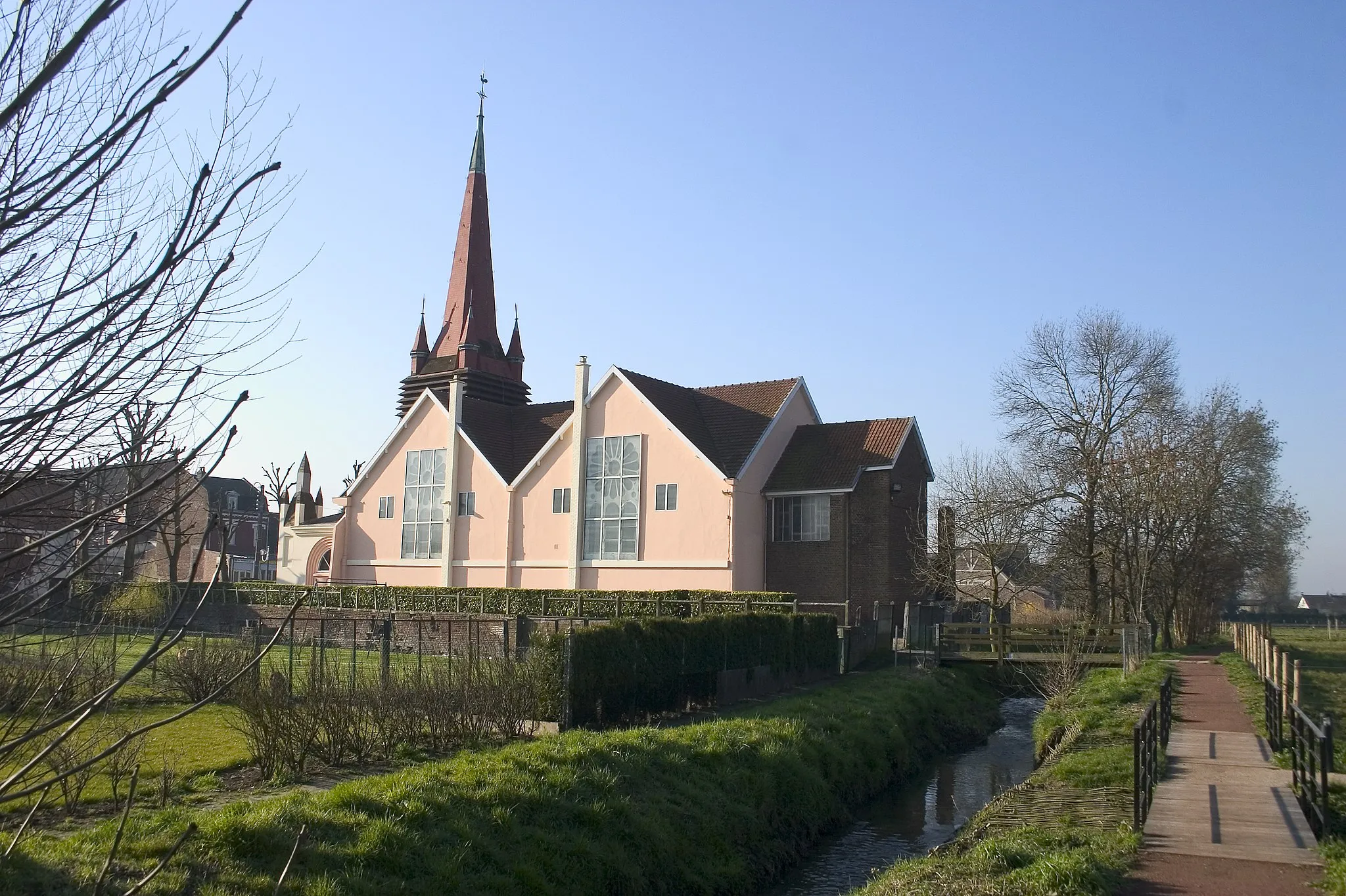
The Avion Loop is a captivating road cycling route that takes you through the fascinating industrial heritage of the region. With a total distance of 98 kilometers and an elevation gain of 382 meters, this route offers a mix of moderate climbs and fast-paced flats. The highlight of this route is Avion, a town known for its coal mining history and the historic Avion Terrace. The route also takes you through Estevelles, which features a beautiful church and vibrant local market.
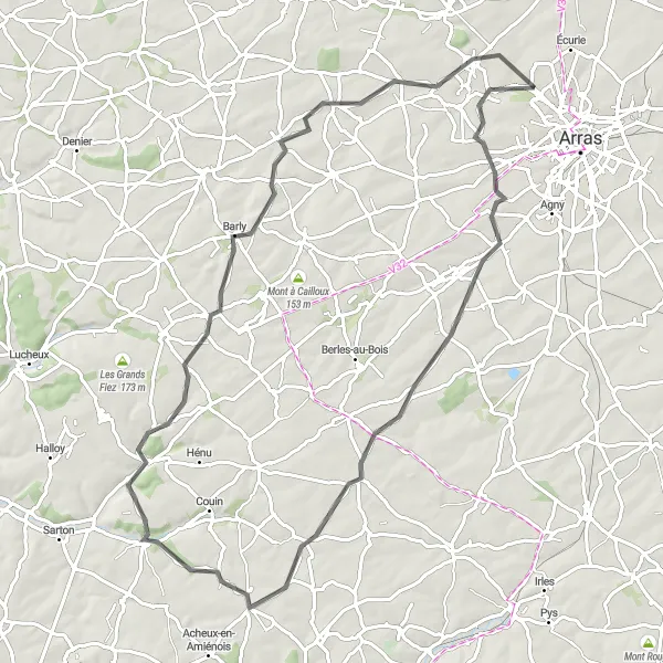
Ride through picturesque countryside and conquer Mont César.
This 79-kilometer road route starting from Anzin-Saint-Aubin offers scenic countryside views and culminates in the challenging ascent to Mont César. With an ascent of 507 meters, this route is recommended for experienced road cyclists. Highlights along the way include La Sèche Épée, Wailly, Hannescamps, Pas-en-Artois, Fosseux, Habarcq, and the impressive views from Mont César.

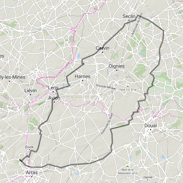
Discover the charm of Avion to Arras through a scenic road cycling route
This road cycling route takes you through picturesque landscapes and historic towns in the Nord-Pas de Calais region of France. With a total distance of 90 km and an ascent of 372 m, it offers a moderate challenge for well-trained amateur cyclists. Cyclists will have the opportunity to visit highlights such as Avion, Carvin, Auby, Vitry-en-Artois, Beffroi, and Arras, each offering unique attractions and cultural experiences. Overall, this route provides a delightful cycling experience with a mix of natural beauty, historical sites, and cultural charm.

Experience an endurance challenge with breathtaking views from Mont César and Mont de Gazois.
Challenge yourself with this 68-kilometer gravel route starting from Anzin-Saint-Aubin. Prepare for a demanding ascent to Mont César followed by scenic views from Haute-Avesnes and Tilloy-lès-Hermaville. The route appeals to experienced gravel cyclists with its 563 meters of ascent. The breathtaking highlights include La Montagne, Beugin, and the legendary climb to Mont de Gazois.
Embark on an awe-inspiring gravel cycling journey through scenic countryside
The Gravel Adventurer is a thrilling gravel cycling route that takes you through the stunning countryside and picturesque villages of the region. With a total distance of 88 kilometers and an elevation gain of 481 meters, this route is perfect for adventure-seeking cyclists. The highlight of this route is Arras, a historic city with a stunning town square and UNESCO-listed belfry. The route also includes beautiful rural areas such as Hendecourt-lès-Cagnicourt and Haut des Hayettes, offering serene cycling trails through picturesque landscapes.
Cycling routes nearby:


Nearby regions: