Cycling in the tranquil countryside of Richebourg-l'Avoué
Cycling routes from Richebourg-l'Avoue
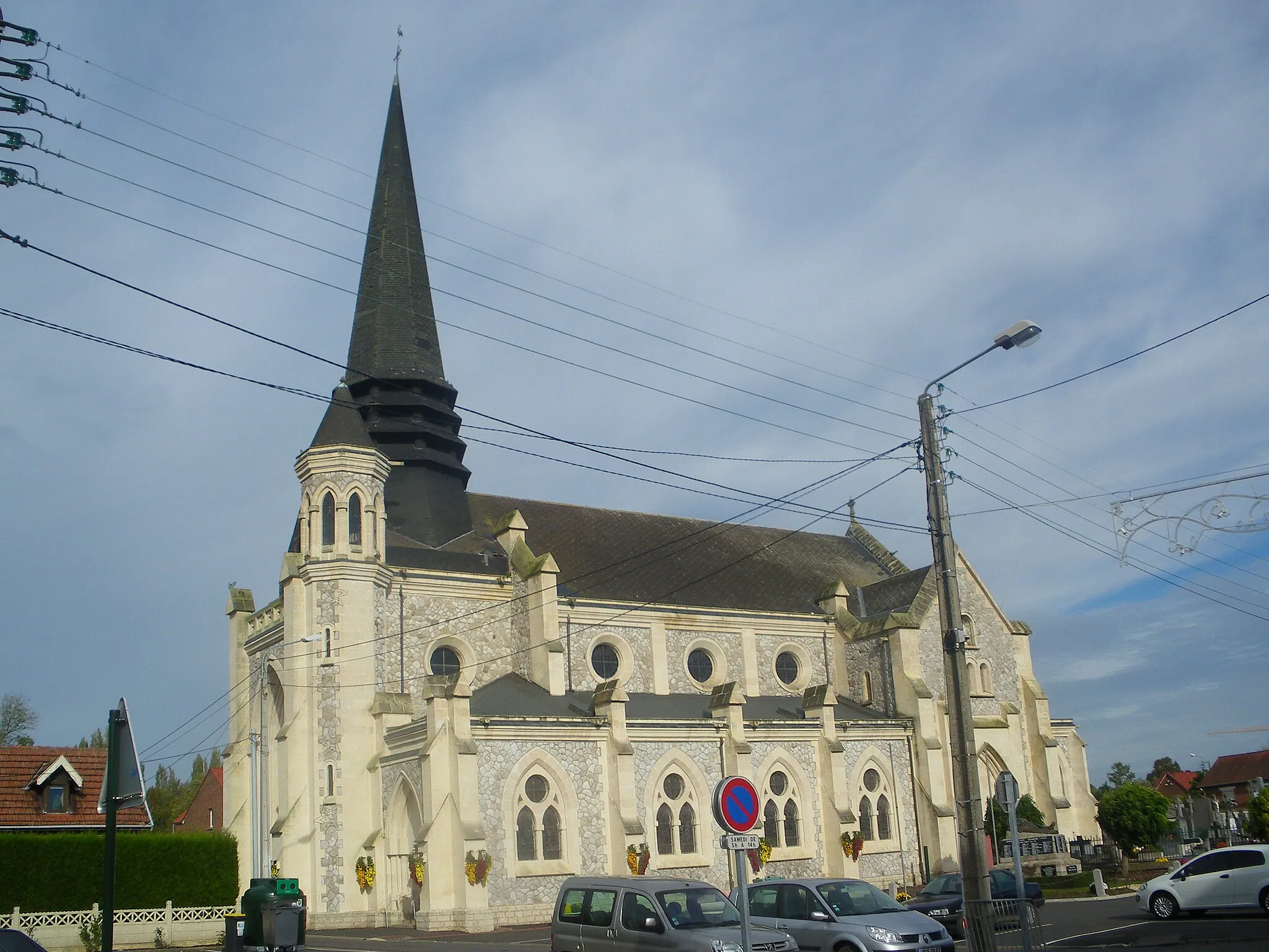
Richebourg-l'Avoué is a small locality located in Nord-Pas de Calais, France. From a cyclist's perspective, Richebourg-l'Avoué offers mainly flat and rolling terrain, with some pleasant countryside roads to explore. While it may not have any famous cycling spots or well-known climbs nearby, the quiet and scenic surroundings make it a suitable destination for road and gravel cyclists looking for peaceful rides.
Escape the city hustle and embrace the peacefulness of rural landscapes on this gravel cycling adventure
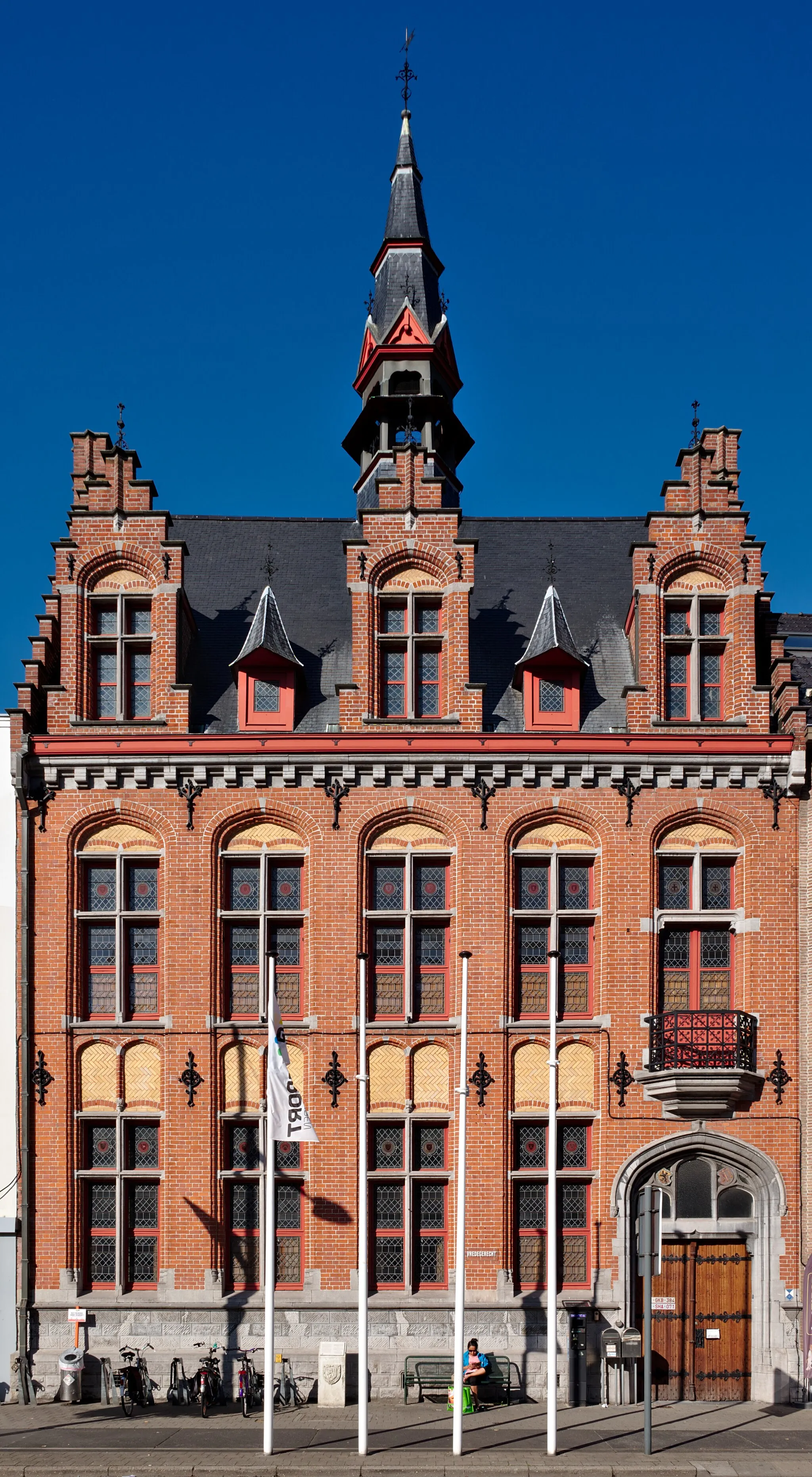
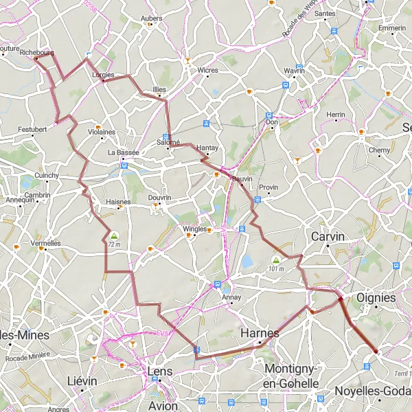
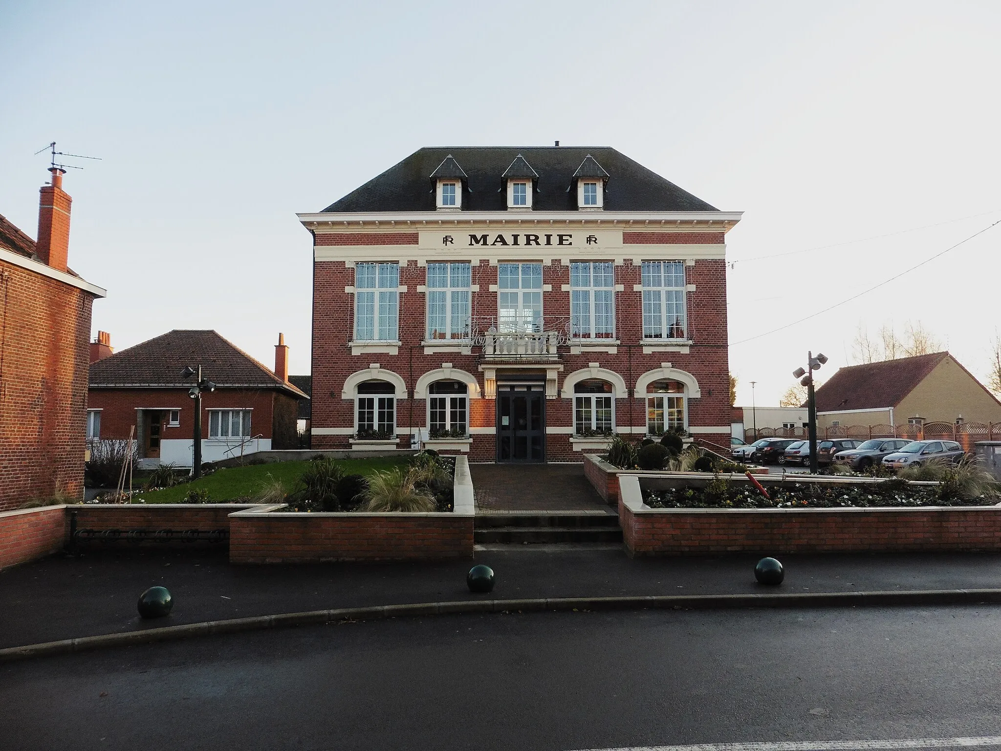
If you are looking for a thrilling gravel cycling adventure, this route starting near Richebourg-l'Avoué is perfect for you. As you venture off the beaten path, you will explore the tranquil countryside of Nord-Pas de Calais and discover hidden gems along the way. With a total distance of 70 kilometers and an ascent of 117 meters, this gravel route offers a unique cycling experience suitable for well-trained amateur riders. Whether it's the picturesque village of Billy-Berclau, the historic town of Courrières, or the Mairie de Richebourg, each highlight on this route will leave you enchanted with the beauty of rural landscapes and the sense of freedom they evoke.

A historical journey through World War I sites
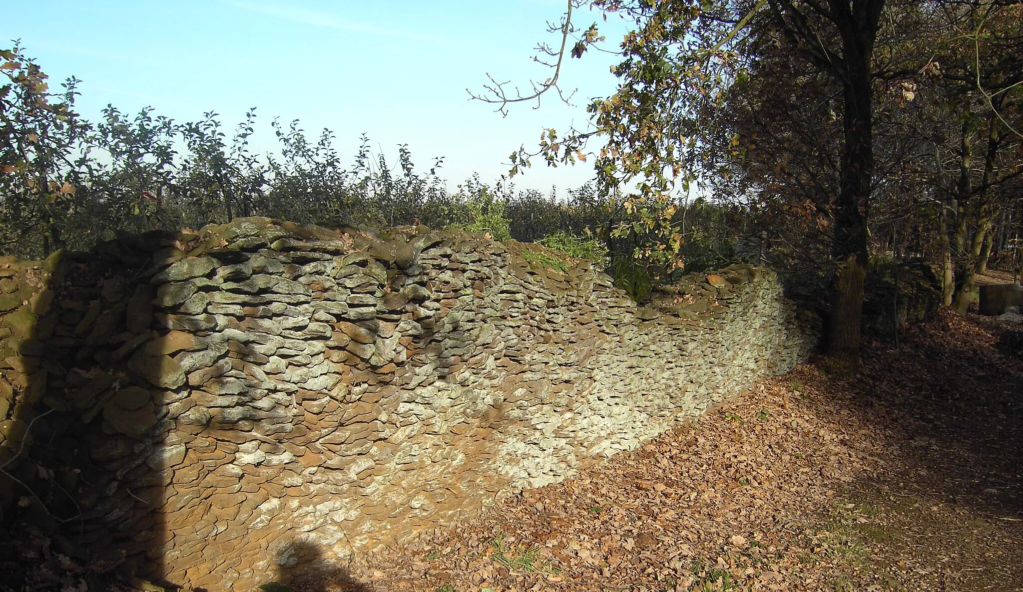
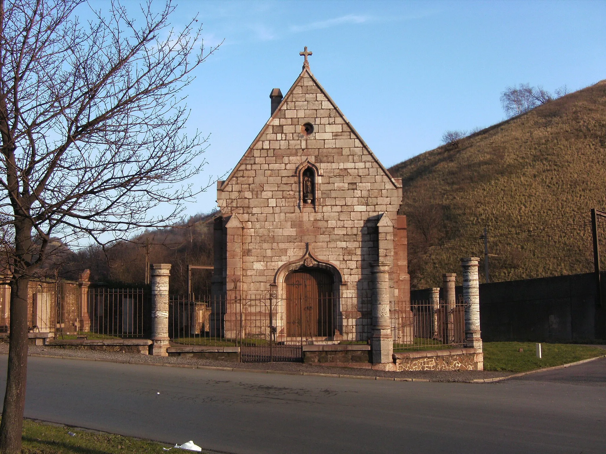
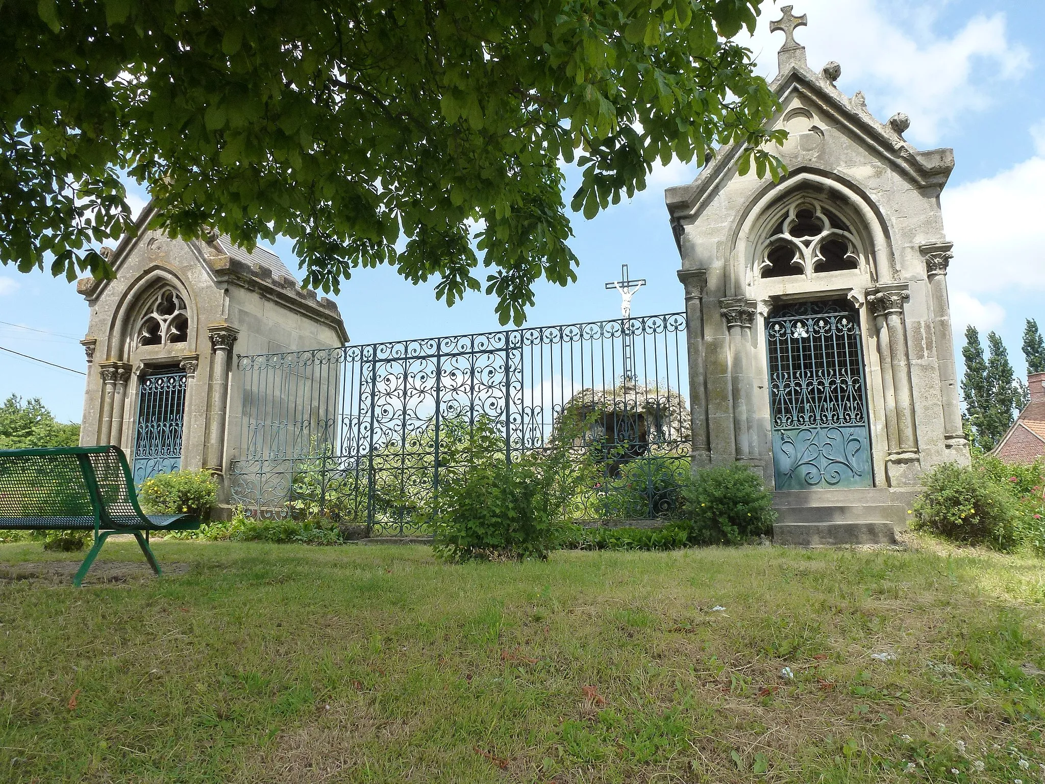
This cycling route takes you on a historical journey through significant World War I sites, starting from the town of Fromelles and ending in Richebourg. With a distance of 43 km and an ascent of 36 meters, it is suitable for leisurely rides or beginners looking to explore the region's history. Along the way, you'll pass through the villages of Wavrin and Lorgies, each offering their own unique charm and historical landmarks. Finally, you'll arrive in Richebourg, where you can learn about the war's impact on the countryside through its preserved trenches and memorial sites.
Immerse yourself in history and natural beauty on this road cycling route through Nord-Pas de Calais.
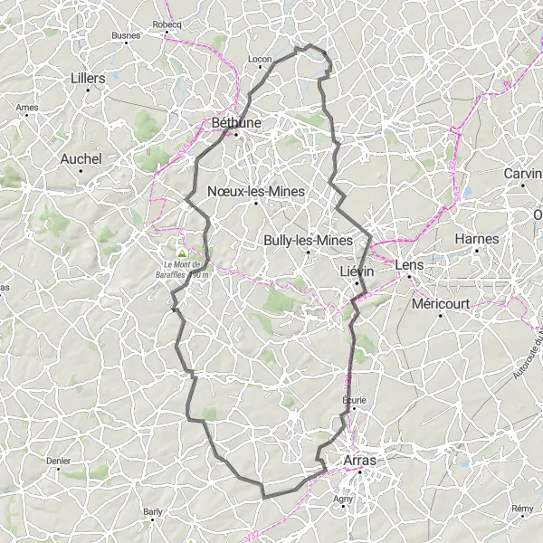
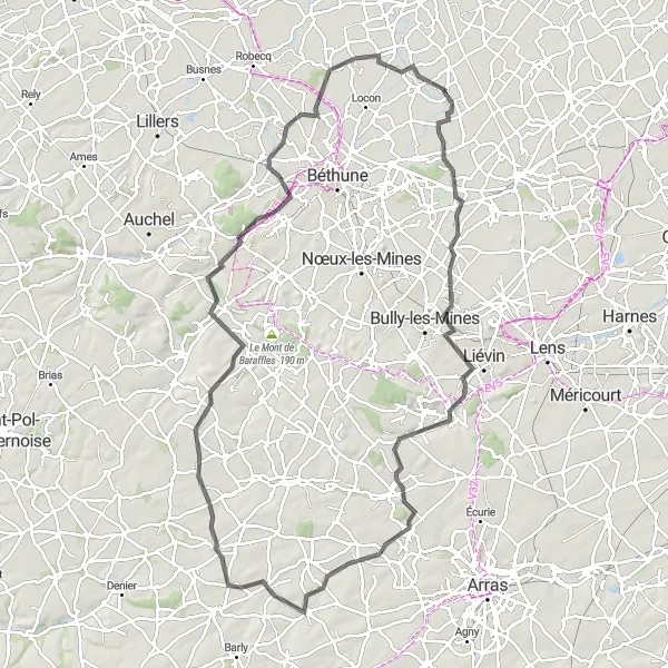
This road cycling route starting near Richebourg-l'Avoué allows you to discover the historical landmarks and natural beauty of Nord-Pas de Calais. From Vermelles and Givenchy-en-Gohelle with their impressive historical sites, to the captivating landscapes of Mont Saint-Vaast, this route offers a perfect blend of history and nature. As you pedal through Aubigny-en-Artois and Haillicourt, you will have the opportunity to immerse yourself in the picturesque countryside and enjoy the tranquility of the surroundings. With a total distance of 98 kilometers and an ascent of 619 meters, this route is suitable for experienced amateur cyclists who can handle challenging climbs and enjoy breathtaking views. Get ready for a journey filled with awe-inspiring history and stunning natural landscapes.
A scenic countryside adventure
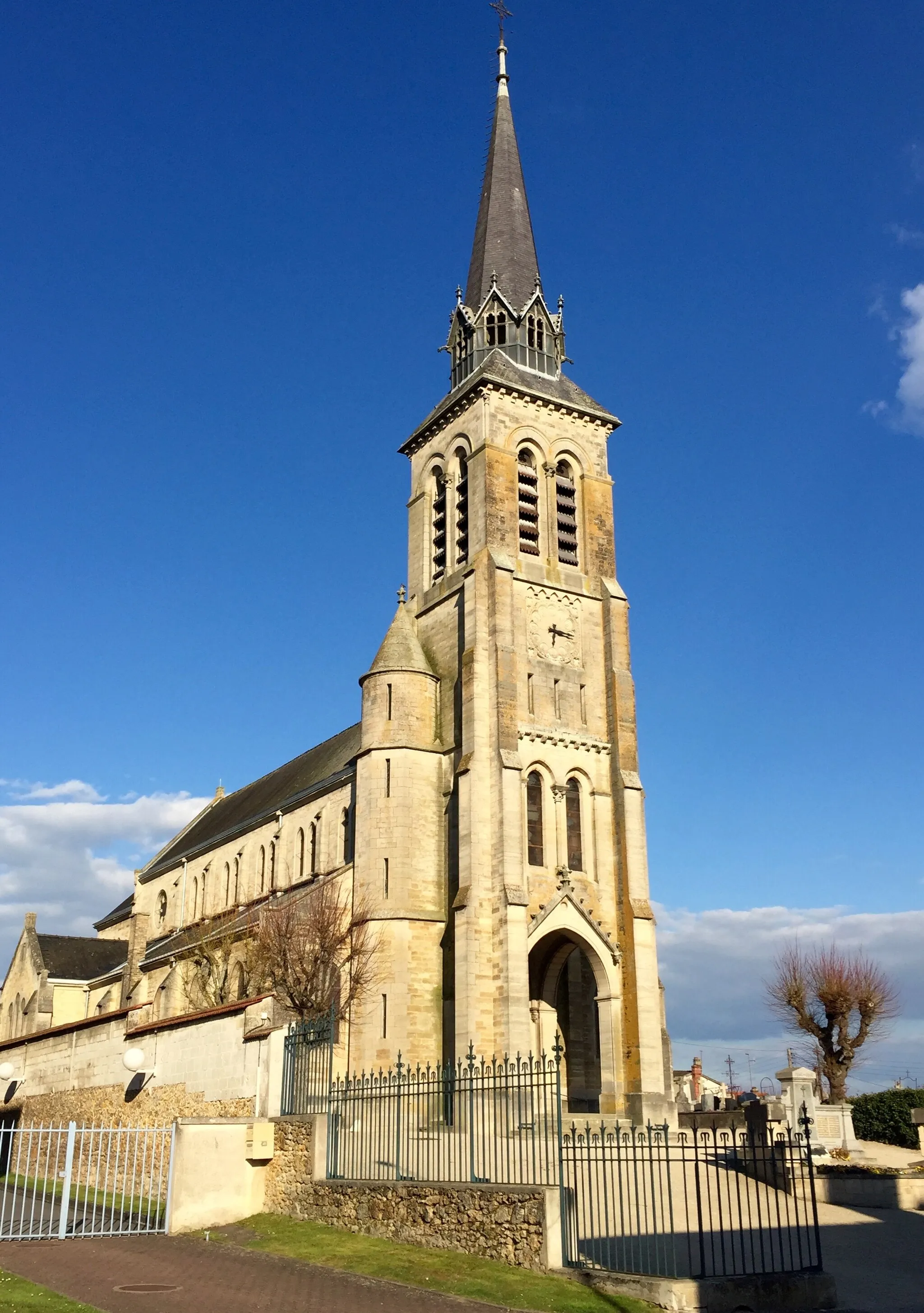
Uncover the beauty of the Nord-Pas-de-Calais countryside with this cycling route from Le Maisnil to the Mairie de Richebourg. With a distance of 73 km and an ascent of 98 meters, it offers a scenic adventure for nature and outdoor enthusiasts. Along the way, you'll pass through the picturesque village of Santes, where you can enjoy the peaceful surroundings and take a break at a view platform with stunning views of the valley. Continue your journey to Oignies, a town with a rich industrial past, and experience the tranquil landscapes of Haisnes before reaching the final destination at the Mairie de Richebourg.

Experience the countryside enchantment with visits to picturesque villages and historical sights on this road cycling route.
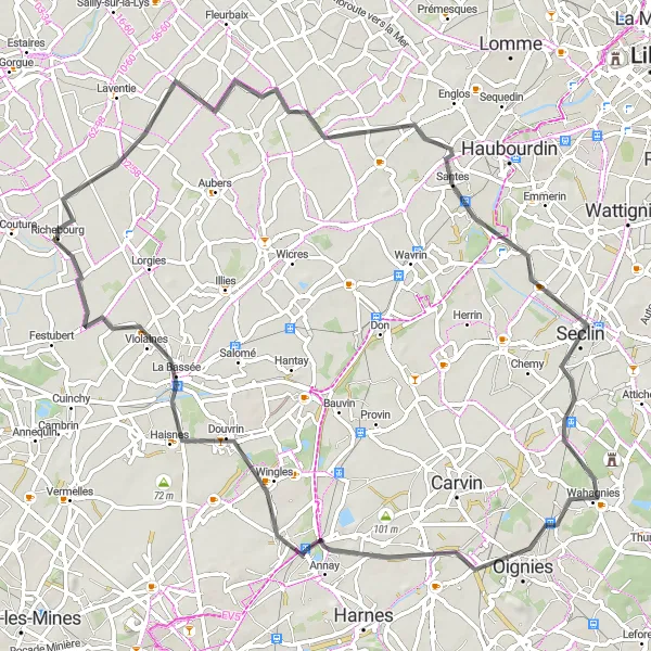
Starting in Richebourg-l'Avoué, this road cycling route will lead you through the beautiful countryside of Nord-Pas de Calais. You will have the chance to visit charming villages like Hazebrouck and Mont des Cats, known for their authenticity and timeless beauty. Along the way, you can also explore historical sights such as the Vieille-Chapelle, which is not only a place of worship but also an architectural masterpiece. With a total distance of 77 kilometers and an ascent of 229 meters, this route is suitable for well-trained amateur cyclists. Prepare yourself for a journey filled with enchanting landscapes, captivating history, and a sense of wonder.
Vermelles to Vieille-Chapelle
A picturesque route through charming towns and historic sites
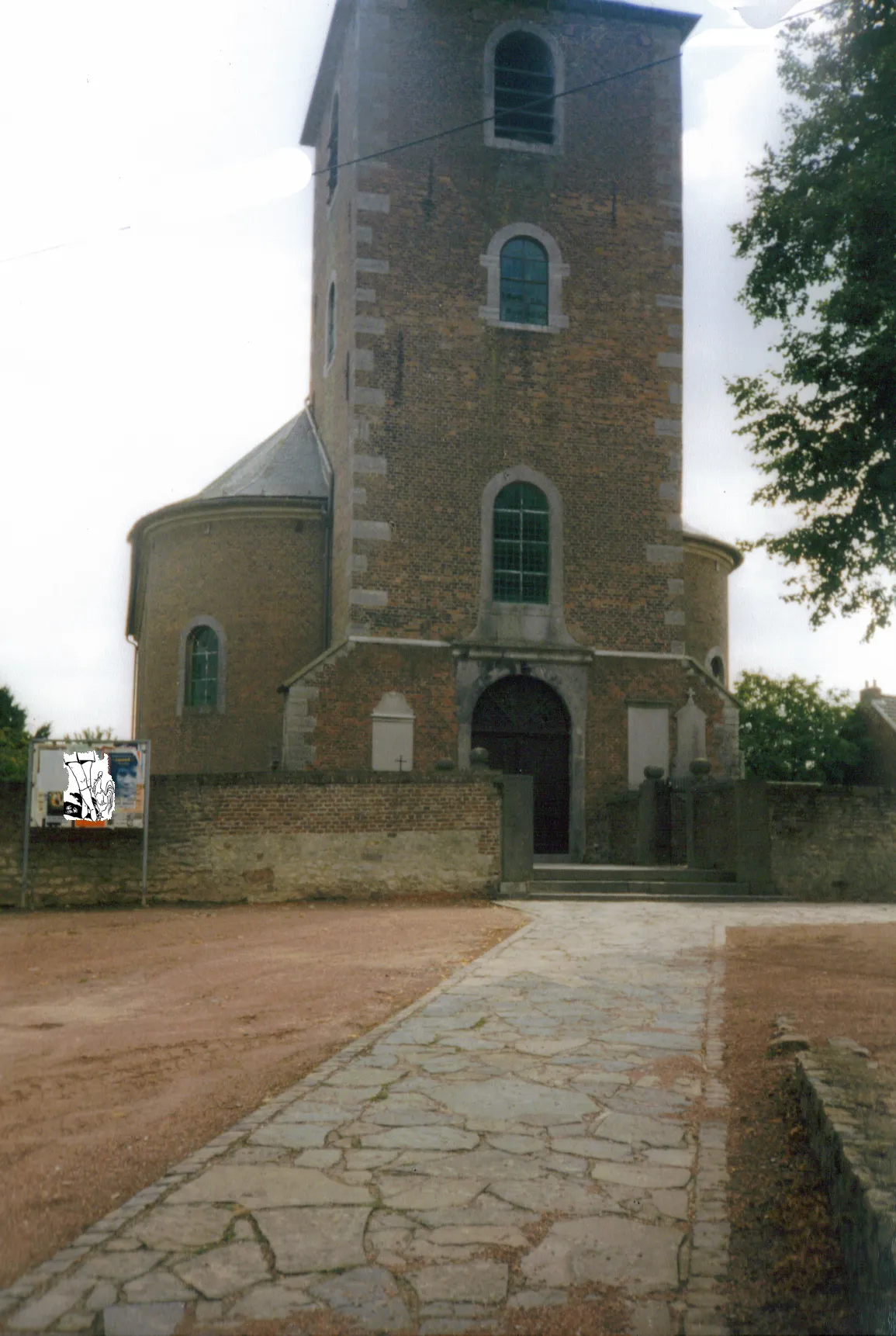
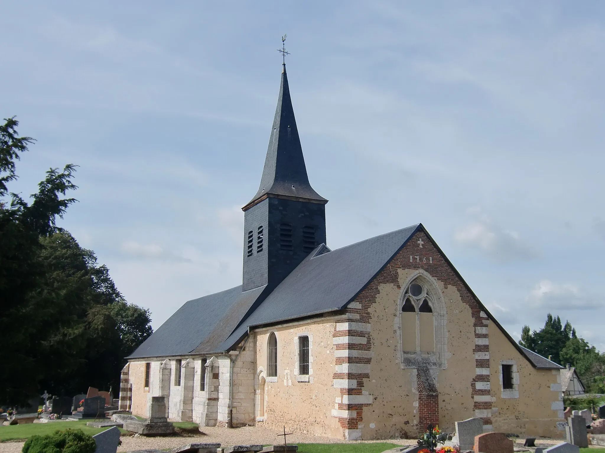
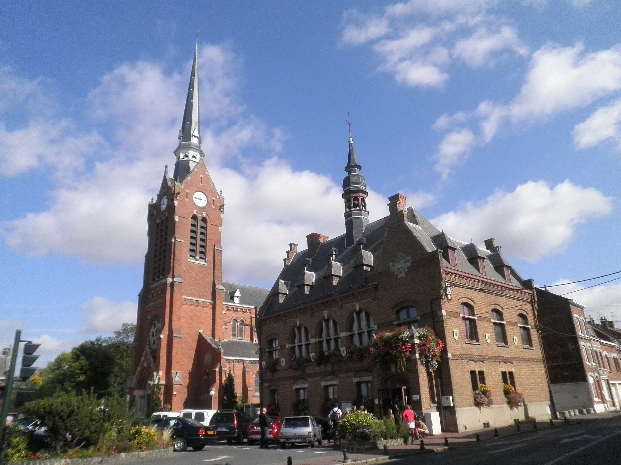
This cycling route takes you through the beautiful countryside of Nord-Pas-de-Calais, passing through the towns of Vermelles, Étrun, Mont César, Wanquetin, Frévillers, and more. Along the way, you'll encounter stunning landscapes, including the Terril n°12 (Usines de Labuissière Ouest) and the scenic village of Vieille-Chapelle. The route offers a mix of flat terrain and gentle ascents, making it suitable for intermediate cyclists. With a distance of 105 km and an ascent of 495 meters, it provides a rewarding challenge for those looking for a memorable cycling experience.
Embark on a historic journey through the industrial past of Nord-Pas de Calais on this fascinating road cycling route.
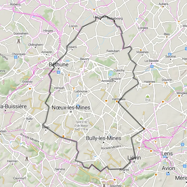
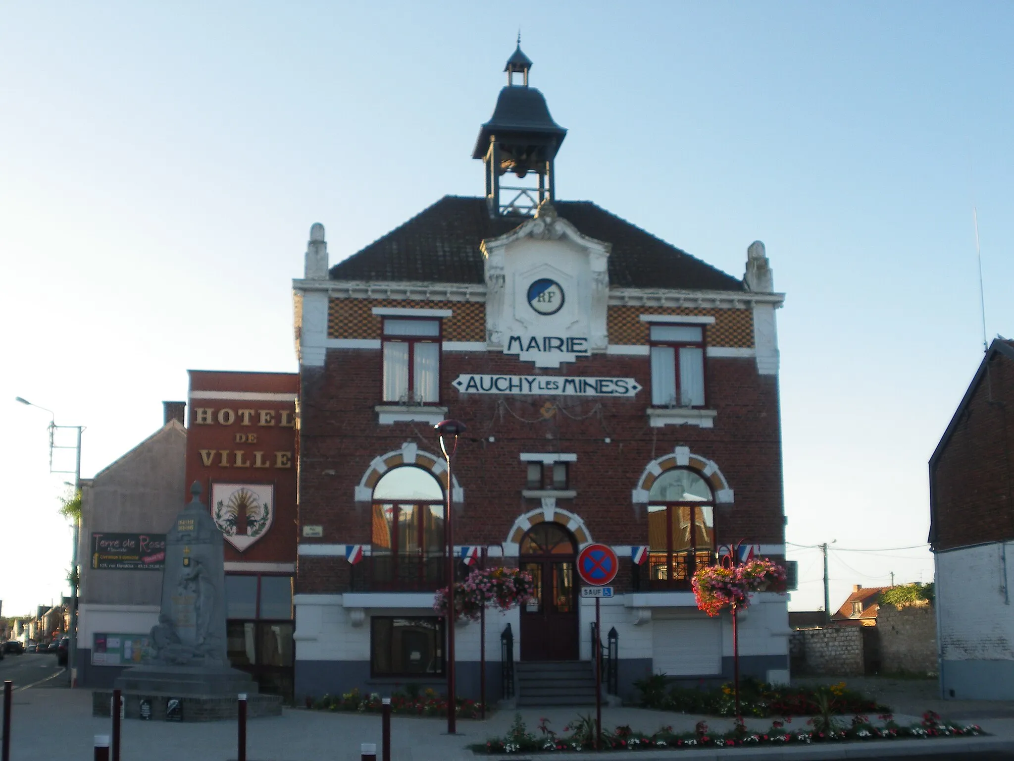
This road cycling route starting near Richebourg-l'Avoué will take you on a journey through the industrial history of Nord-Pas de Calais. As you ride through charming towns like Vermelles and Hersin-Coupigny, you will witness the remnants of the region's coal mining past and the transformation of the landscape. Along the way, you can also explore the Liévin, with its iconic architectural landmarks, and Essars, known for its rich cultural heritage. With a total distance of 63 kilometers and an ascent of 209 meters, this route offers a perfect blend of history, culture, and natural beauty. Get ready to immerse yourself in the fascinating industrial heritage and captivating landscapes of this region.
Aubers to Mairie de Richebourg
Uncover the hidden beauty of Nord-Pas-de-Calais
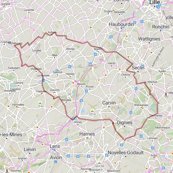
This gravel cycling route takes you through the hidden beauty of Nord-Pas-de-Calais, starting from the town of Aubers and ending at the Mairie de Richebourg. With a distance of 79 km and an ascent of 128 meters, it provides a moderate challenge for gravel enthusiasts. Along the way, you'll encounter picturesque landscapes, including a view platform where you can admire the stunning panoramas. Visit the village of Wavrin with its historic castle, and pass through Thumeries and Dourges, each offering their own unique charm. Finally, arrive in Richebourg, where you can relax at the Mairie and enjoy the tranquility of the surrounding area.
La Gorgue to Lorgies
Explore the hidden gems of Nord-Pas-de-Calais
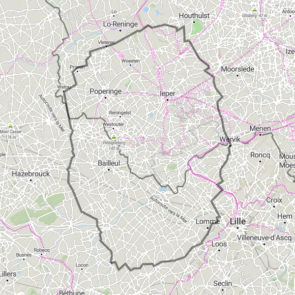
This cycling route takes you through some of the lesser-known towns and villages of Nord-Pas-de-Calais, including La Gorgue, Godewaersvelde, Vleteren, Poelkapelle, and Wervicq-Sud. With a distance of 138 km and an ascent of 292 meters, it is suitable for intermediate cyclists looking for a longer ride. Along the way, you'll encounter beautiful countryside, historic sites, and charming local attractions. From La Gorgue's picturesque town center to Lorgies' friendly atmosphere, this route is full of surprises and hidden gems waiting to be discovered.
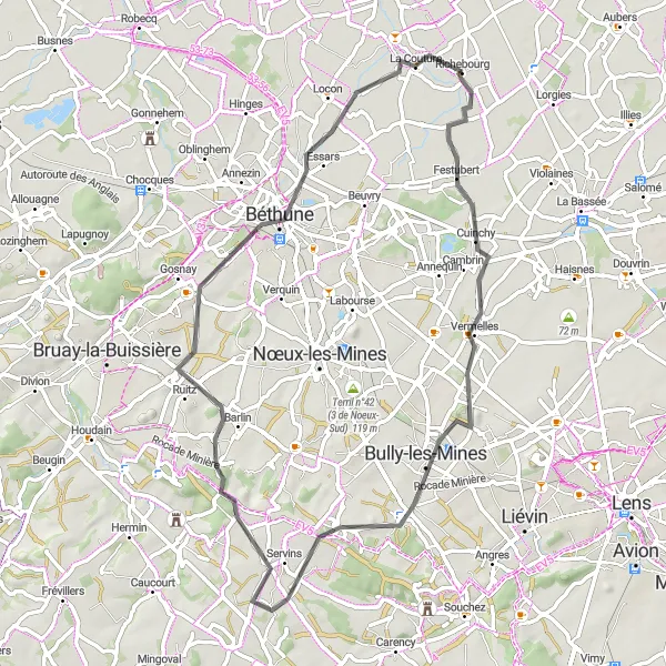
Explore the historical battlefields and charming mining trails
Immerse yourself in the rich history and captivating landscapes of Richebourg-l'Avoué and its surroundings. This round-trip cycling route takes you through the scenic Nord-Pas de Calais region, where you'll encounter fascinating battlefields from WWI and picturesque mining trails. The route offers a diverse mix of natural beauty, cultural heritage, and historical significance.
Cycling routes nearby:

Nearby regions: