Cycling through the charming streets of Saint-André-lez-Lille
Cycling routes from Saint-Andre-lez-Lille
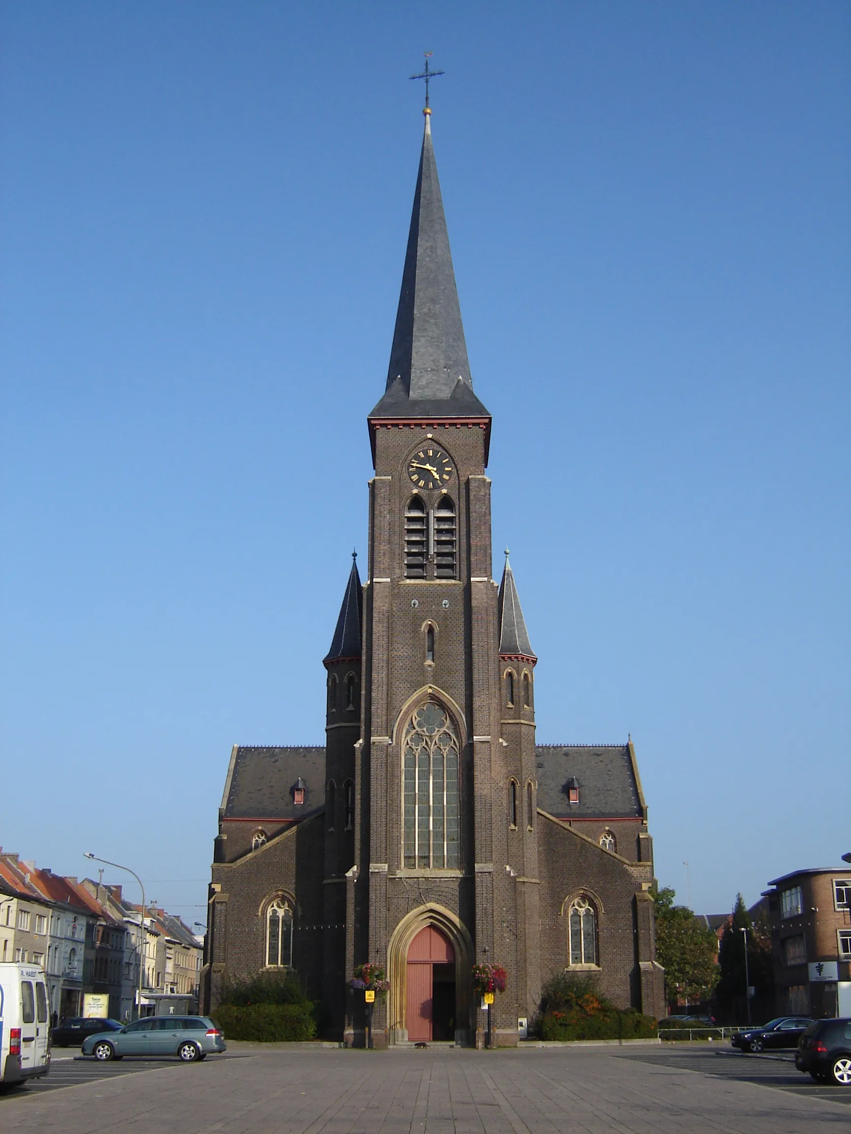
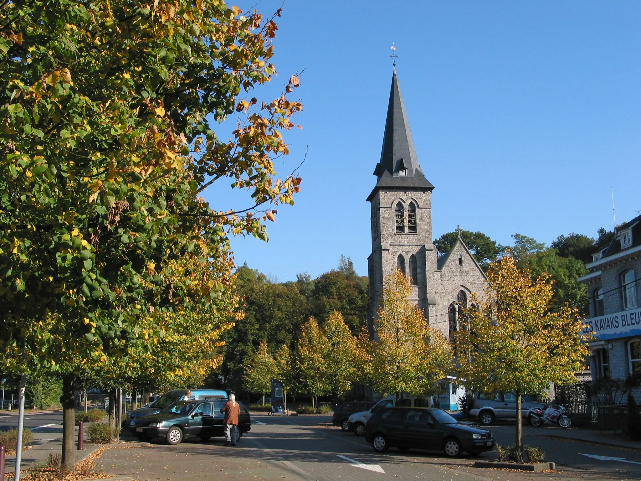
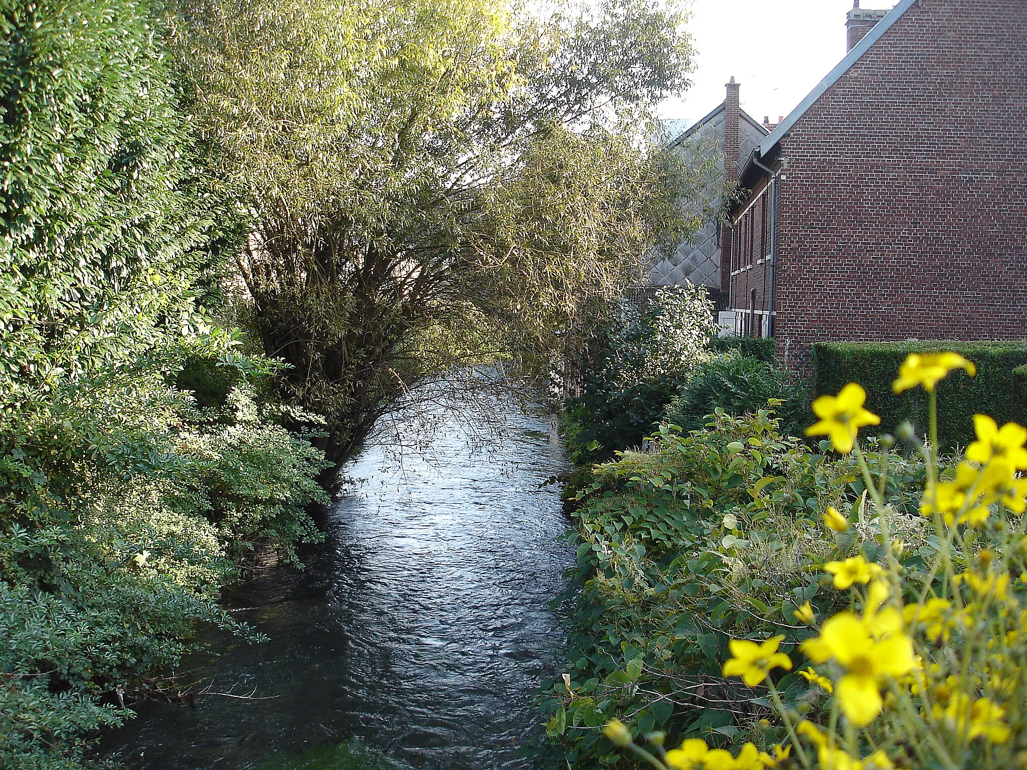
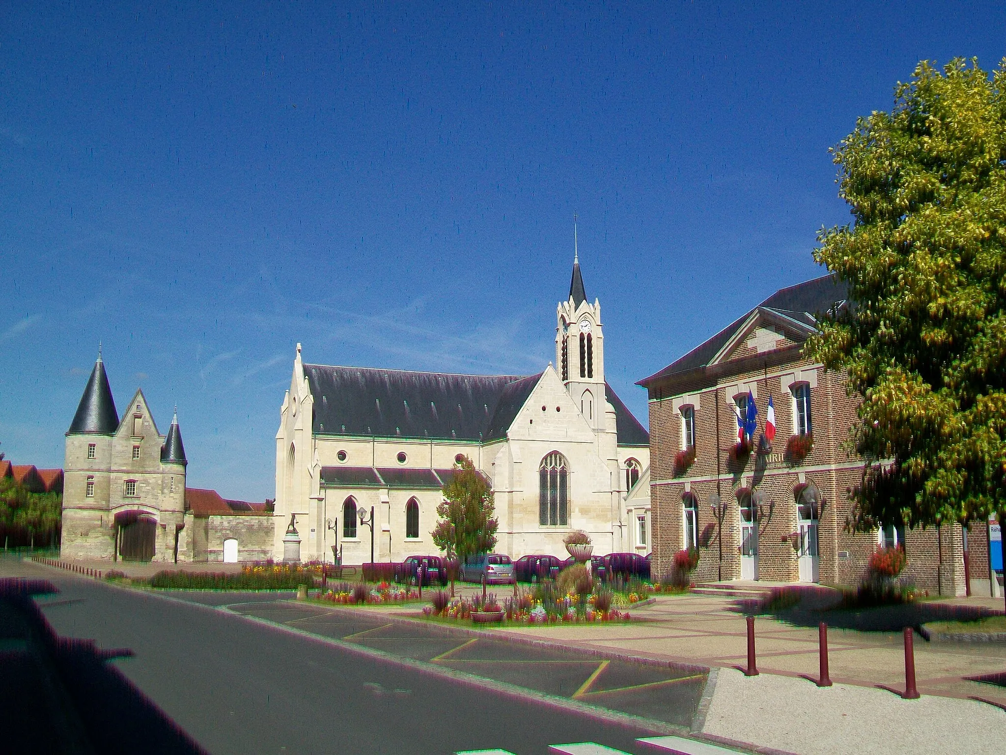
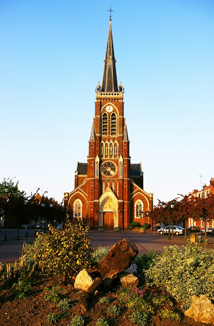
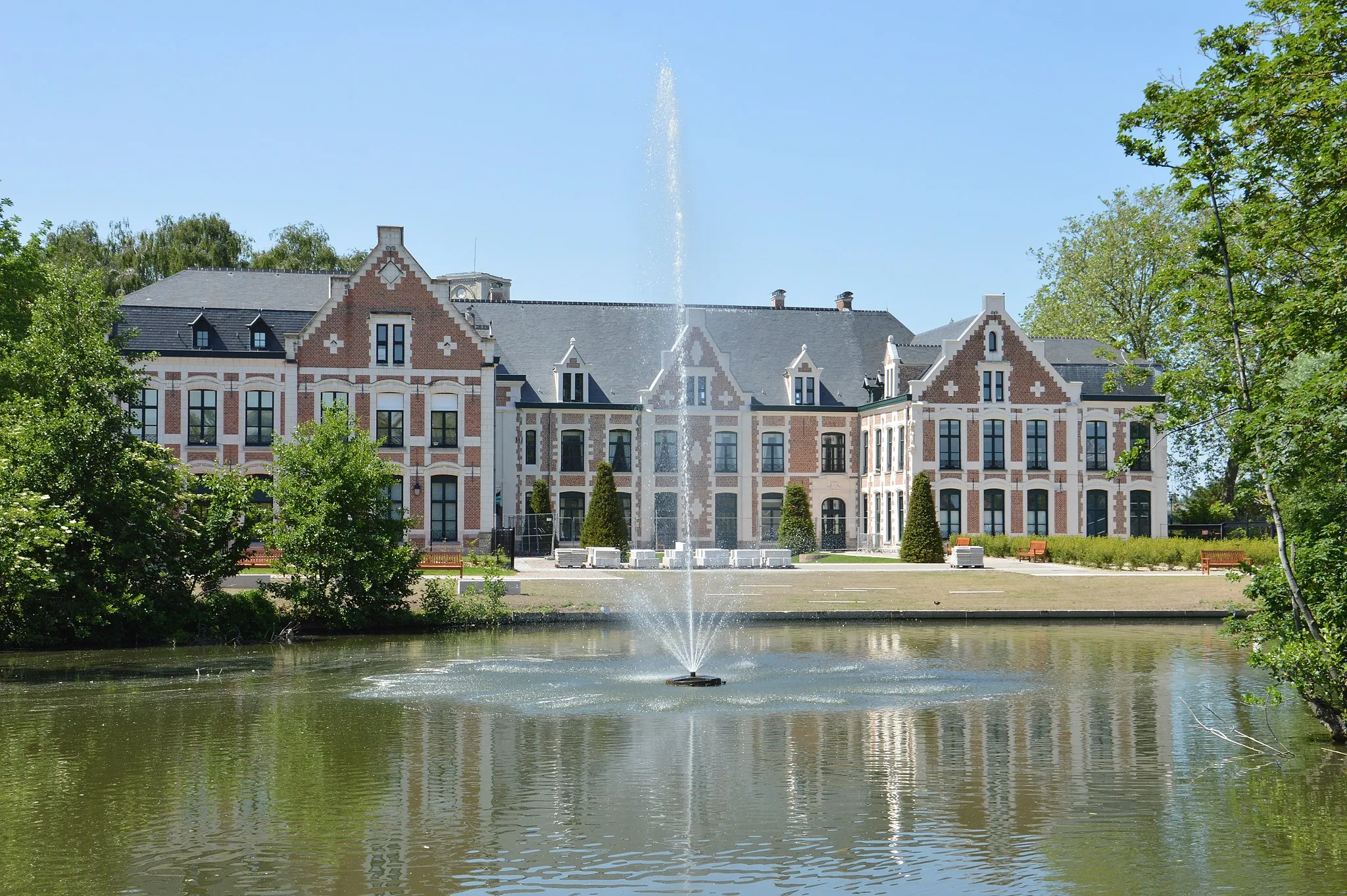
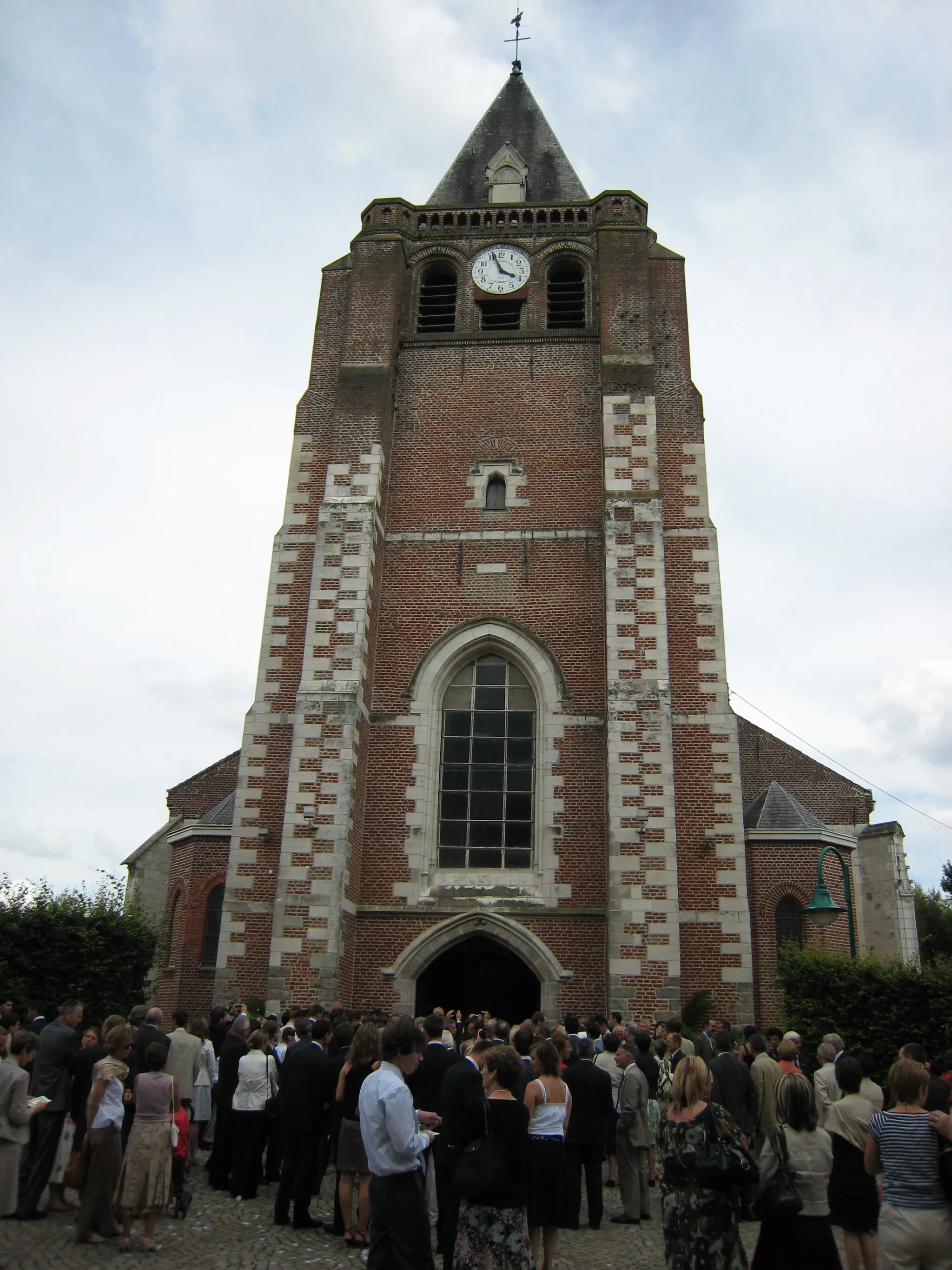
Saint-André-lez-Lille, a town located in the Nord-Pas de Calais region of France, offers a mix of urban and rural cycling opportunities. The town is well-connected by bike lanes, making it convenient for cyclists to explore the city and surrounding areas. While Saint-André-lez-Lille may not have any famous cycling locations or renowned climbs nearby, it provides a pleasant cycling experience with its peaceful parks, quaint streets, and picturesque landscapes. Cyclists can enjoy leisurely rides through the town while taking in the beauty of its surroundings.

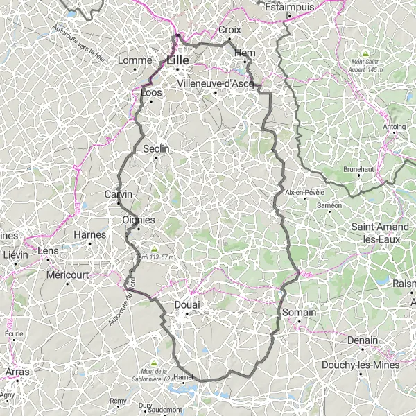
Enjoy the natural beauty and panoramic views of this 88 km gravel cycling route
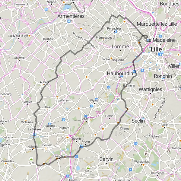
With a total distance of 88 km and an ascent of 232 m, this gravel cycling route offers riders the chance to experience the natural beauty of the region, starting near Saint-André-lez-Lille. Highlights along the way include a scenic sunset spot where riders can enjoy awe-inspiring views as the day comes to an end. Other notable points of interest include the towns of Haubourdin, Carvin, Liévin, and Haisnes, each offering their own unique charms and attractions. The route also passes by Terril 74, a man-made hill created from mining waste, providing panoramic views of the surrounding area. The route finishes in Lambersart, a charming town known for its picturesque streets and historic architecture.
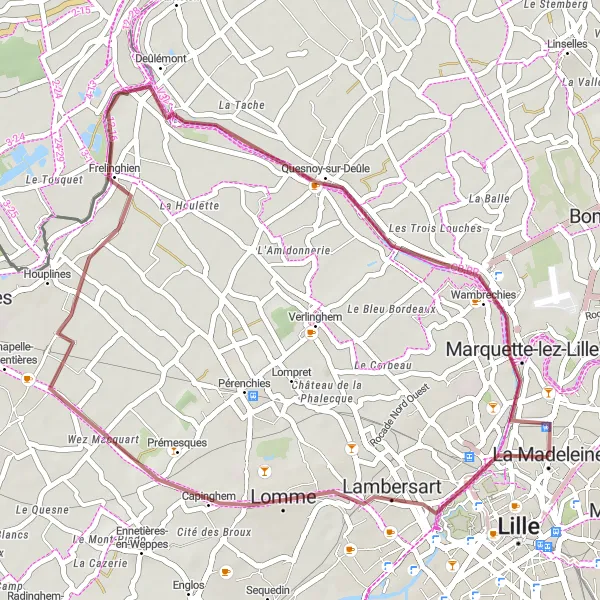
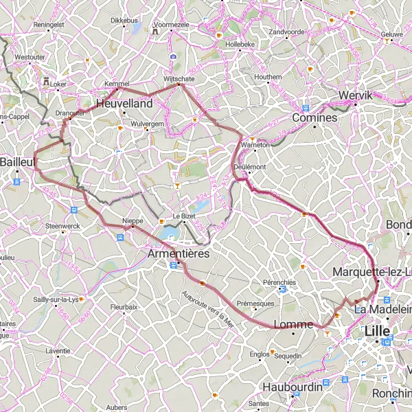
Experience the beauty of nature and historical landmarks on this 37 km gravel cycling route
This gravel cycling route offers riders the opportunity to experience the natural beauty and historical landmarks of the region. Covering a distance of 37 km and an ascent of 71 m, this route provides an enjoyable and accessible adventure for gravel cyclists. Highlights along the way include a scenic sunset spot, perfect for capturing memorable photos or simply enjoying the beauty of nature at the end of the day. The route also passes through Lambersart, a charming town known for its picturesque streets and historic architecture. Other notable highlights include Deûlémont, Butte du Petit Paradis, and Marquette-lez-Lille, each offering their own unique points of interest and natural attractions.

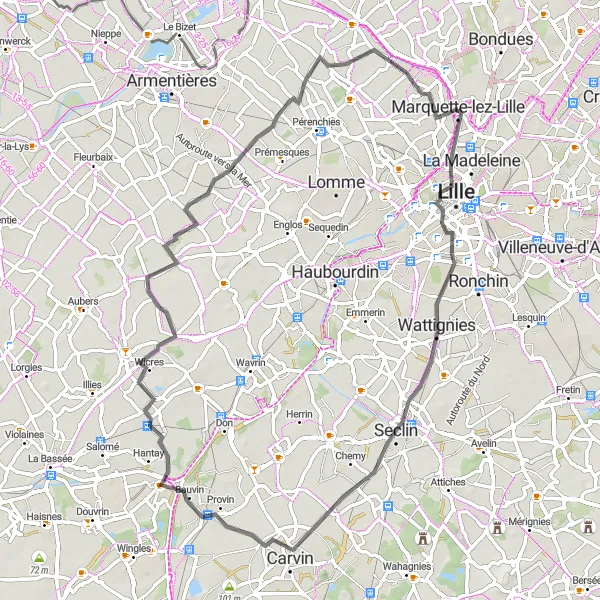
Embark on a 67 km road cycling adventure through charming towns and rolling countryside
This road cycling route starting near Saint-André-lez-Lille takes riders on a journey through picturesque towns, lovely countryside, and charming streets. Covering a distance of 67 km and an ascent of 147 m, this route offers a moderately challenging ride for cyclists. Highlights along the way include the town of Ronchin, known for its beautiful parks and vibrant atmosphere, and Fretin, with its traditional houses and welcoming locals. The route also passes through Thumeries, Libercourt, Allennes-les-Marais, and finishes in Lambersart, each offering their own unique points of interest and cultural attractions.
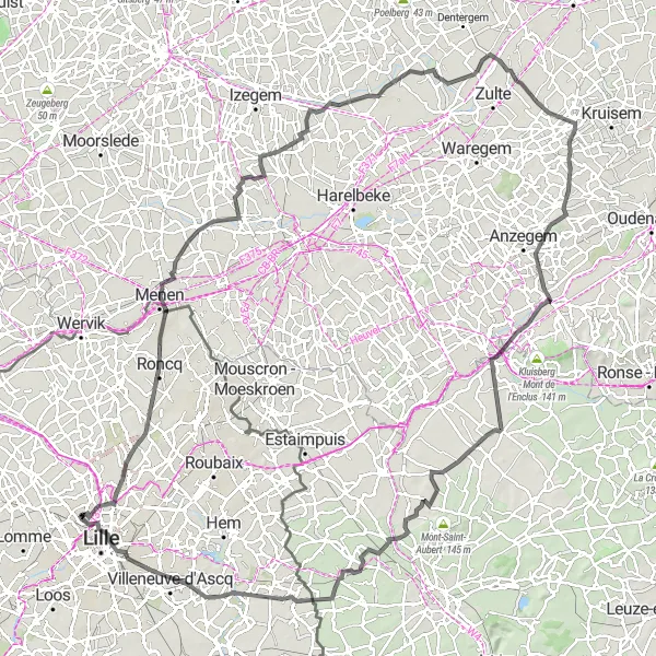
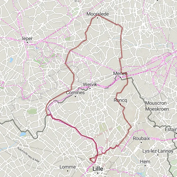
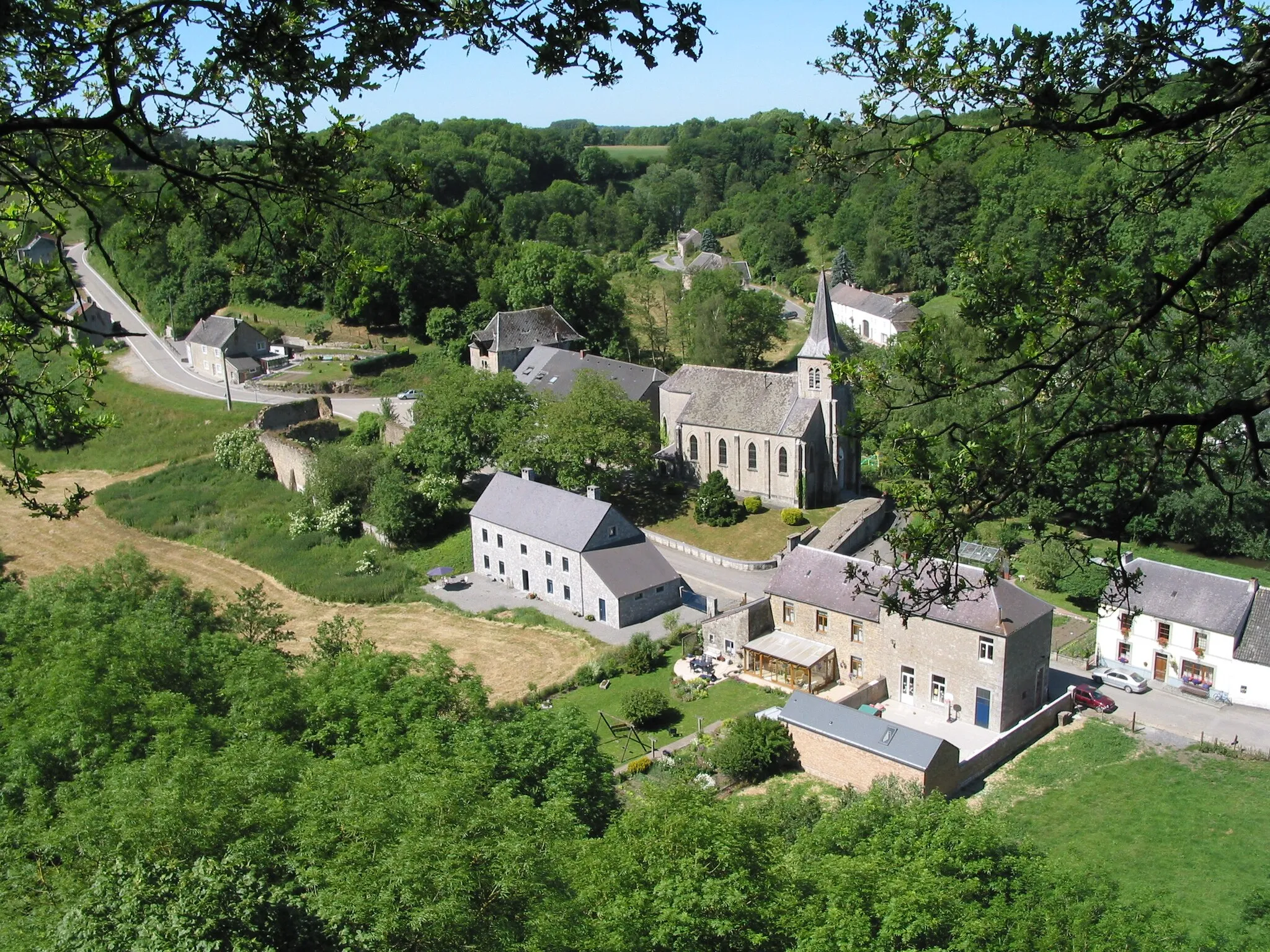
Explore the diverse landscape and charming towns of northern France on this 129 km road cycling route
This road cycling route starting near Saint-André-lez-Lille takes riders through picturesque towns, peaceful countryside, and beautiful parks. With a total distance of 129 km and an ascent of 415 m, this ride offers a moderately challenging adventure for cyclists. Highlights along the route include the town of Bondues, known for its historic architecture and vibrant atmosphere, the stunning Stadspark "Bois de Boulogne" park, and the cross-border town of Menen, where cyclists can experience Belgian culture and cuisine. The route also passes through Lendelede, Oostrozebeke, Olsene, Kaster, Celles, Hertain, and La Madeleine, each offering their own unique charm and points of interest.
Forest-sur-Marque
Explore the enchanting forests and quaint villages along the Marque river
Embark on a thrilling road cycling adventure near Saint-André-lez-Lille that takes you through the enchanting forests and charming villages along the Marque river. With a distance of 133 km and an ascent of 339 m, this route offers a moderate challenge. The overall difficulty is rated as 3 out of 5.

Discover the beauty of the countryside and historical landmarks on this 72 km gravel cycling route
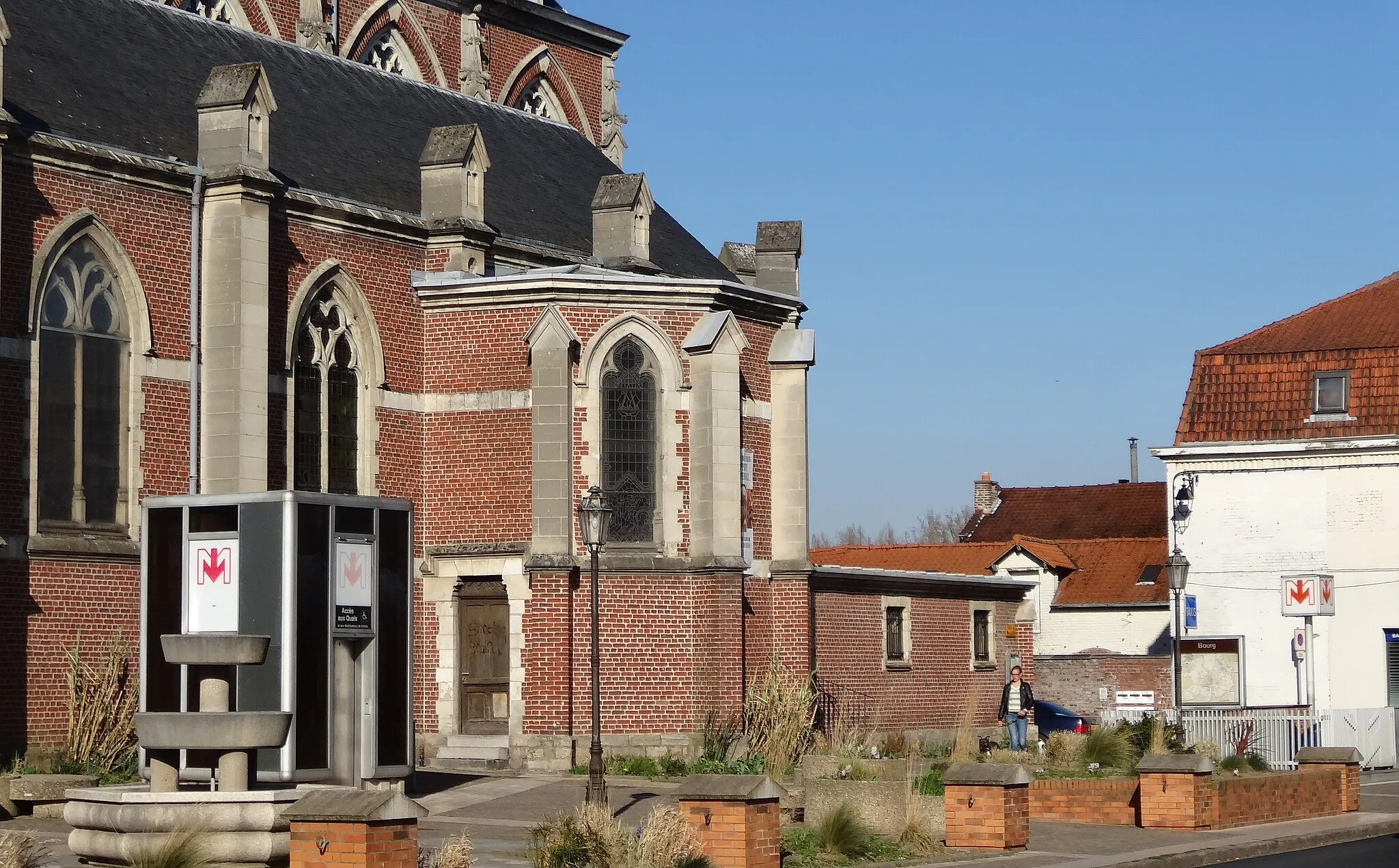
This gravel cycling route offers a mix of scenic countryside and historical landmarks, starting near Saint-André-lez-Lille. Covering a distance of 72 km with an elevation gain of 230 m, this route provides an enjoyable challenge for gravel riders. Highlights along the way include the historic town of Tournai, known for its medieval architecture and rich cultural heritage, and the scenic viewpoint overlooking the famous Battle of Bouvines. Other notable highlights include the town of Leers-Nord, Pecq, Sainghin-en-Mélantois, Villeneuve-d'Ascq, and Lille, each offering their own unique attractions and points of interest.
Discover the vibrant city of Lille and explore the scenic village of Wambrechies
Embrace the vibrancy of Lille and its rich cultural heritage before embarking on a scenic road cycling route to Wambrechies. With a distance of 67 km and a relatively flat terrain, this route offers a leisurely cycling experience. The overall difficulty is rated as 2 out of 5.
Immerse yourself in the serenity of the countryside and explore charming villages
Embark on a road cycling adventure near Saint-André-lez-Lille and immerse yourself in the serene countryside scenery and explore the charming villages along the way. With a total distance of 73 km and an ascent of 87 m, this route offers a relatively easy cycling experience. The overall difficulty is rated as 1 out of 5.
Scenic Gravel Adventure
Embark on a thrilling gravel adventure through picturesque landscapes
Indulge in the excitement of gravel cycling near Saint-André-lez-Lille as this route takes you on a thrilling adventure through scenic landscapes and tranquil villages. With a total distance of 79 km and an ascent of 183 m, this gravel route offers a moderate challenge. The overall difficulty is rated as 2 out of 5.
Escape on a thrilling gravel adventure through historic towns, scenic countryside, and challenging terrains.
Embark on a 65km gravel cycling journey starting near Saint-André-lez-Lille in Nord-Pas de Calais, France. This route will take you through a diverse landscape, from picturesque towns to rolling hills. The challenging trails and beautiful scenery make it a popular choice for gravel enthusiasts seeking an off-road adventure. With a total ascent of 220m, this route provides a moderate challenge for well-trained amateur cyclists. Whether you're an experienced rider or just starting out with gravel cycling, this route offers a memorable experience.
Cycling routes nearby:
Nearby regions: