Scenic routes and legendary climb Mont des Alouettes make Bournezeau a cyclist's paradise.
Cycling routes from Bournezeau
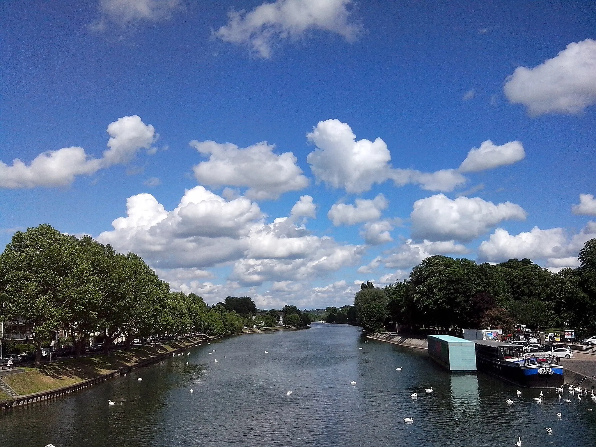
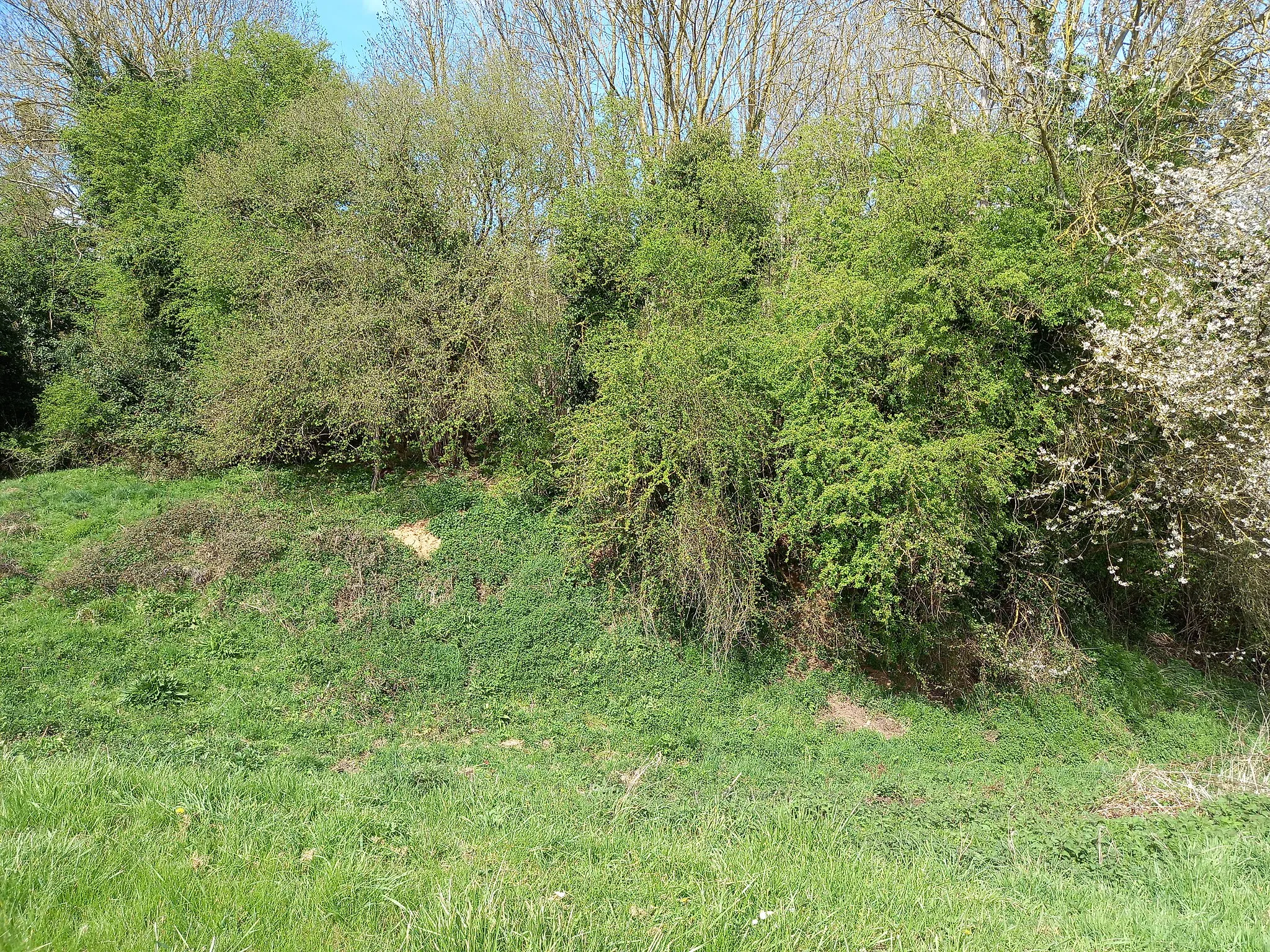
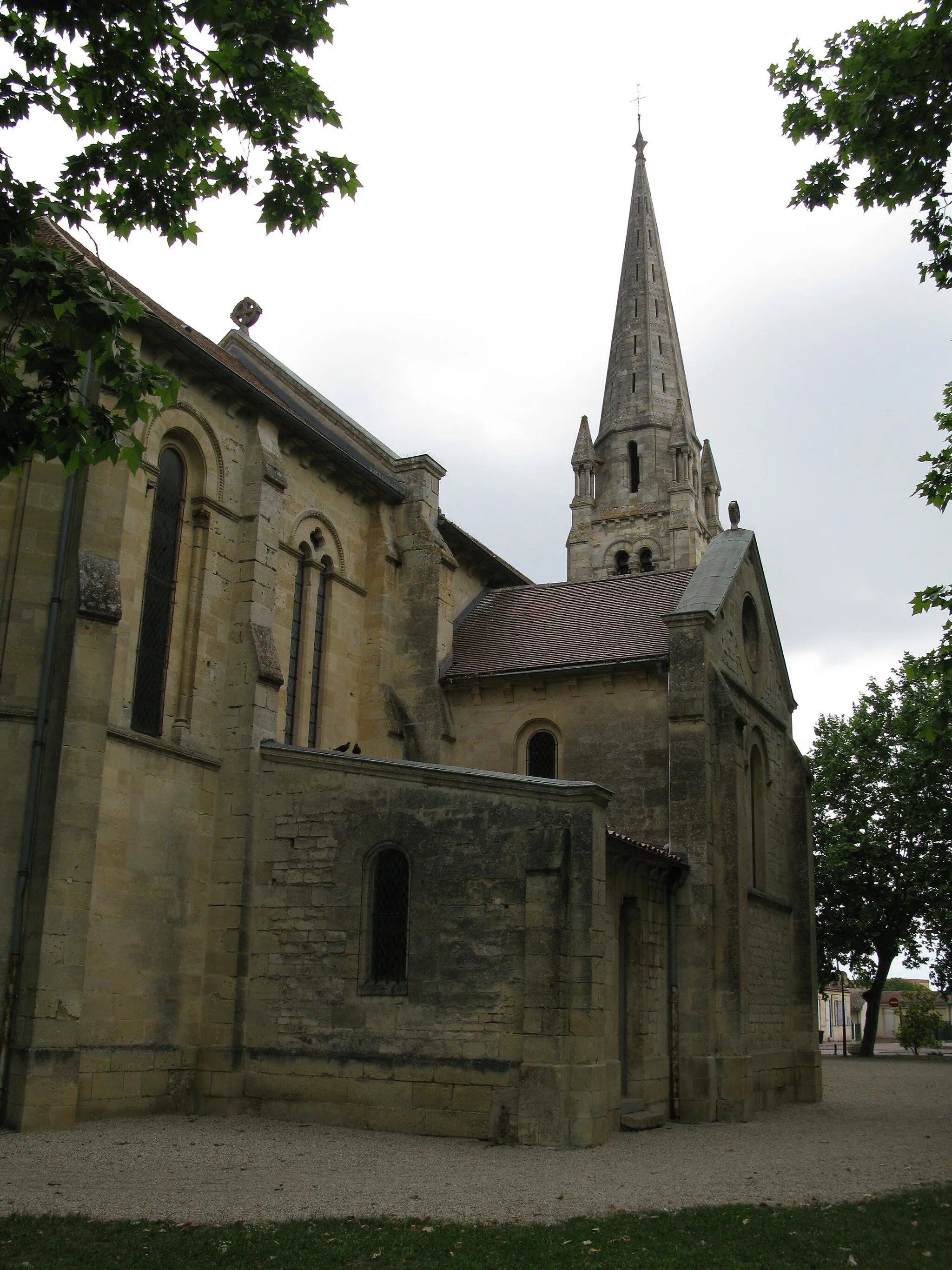
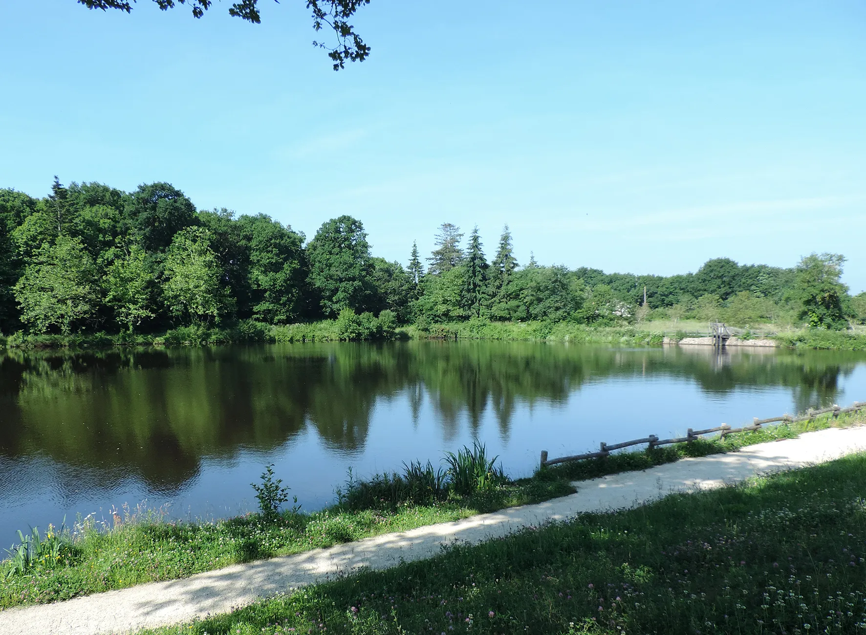
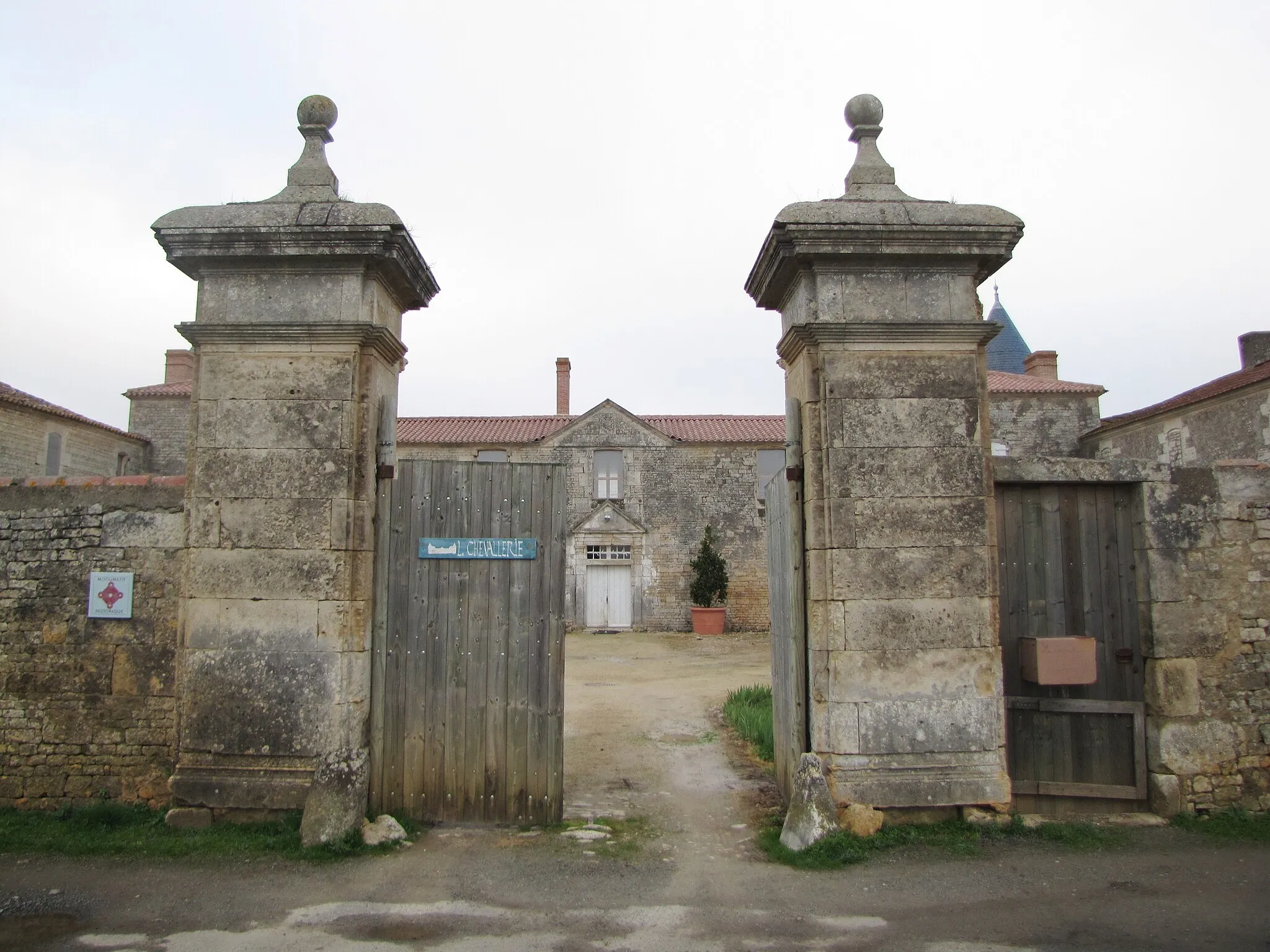
Bournezeau, located in Pays de la Loire, France, is a cyclist's paradise with its well-maintained roads and scenic routes. The region boasts charming countryside and beautiful, rolling hills, offering a mix of flat and hilly terrain for all levels of cyclists. A famous cycling spot near Bournezeau is the Mont des Alouettes, a legendary climb known for its challenging ascent and rewarding panoramic views. Additionally, Bournezeau is a tourist-friendly locality, with various attractions and amenities for visitors. For cyclists seeking a combination of natural beauty and cycling challenges, Bournezeau is an excellent choice.

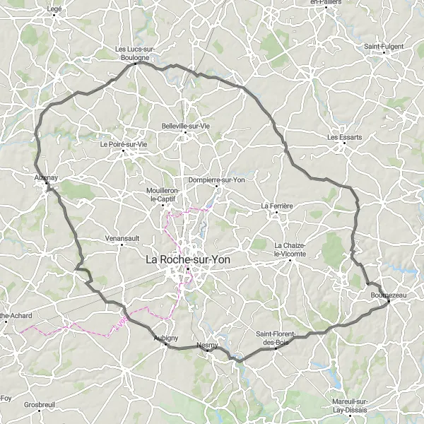
Discover the vibrant town of Les Essarts on a road cycling route starting from Bournezeau
This 79 km road cycling route starts from Bournezeau and takes cyclists through the vibrant town of Les Essarts, with a highlight in Boulogne. With an ascent of 402m, this route is suitable for intermediate level riders. The overall epicness of the route is rated as 3.
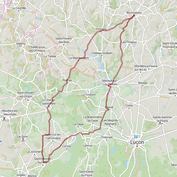
Experience a gravel ride with a highlight in Rosnay near Bournezeau
This 66 km gravel cycling route takes riders through scenic landscapes and includes a highlight in Rosnay. With an ascent of 437m, this route is suitable for cyclists with gravel riding experience. The overall epicness of the route is rated as 3.

Embark on a road cycling loop near Bournezeau with highlights in Chaillé-sous-les-Ormeaux and Fougeré
This 69 km road cycling loop near Bournezeau takes cyclists through picturesque landscapes and includes highlights in Chaillé-sous-les-Ormeaux and Fougeré. With an ascent of 424m, this route is suitable for experienced amateur riders. The overall epicness of the route is rated as 3.
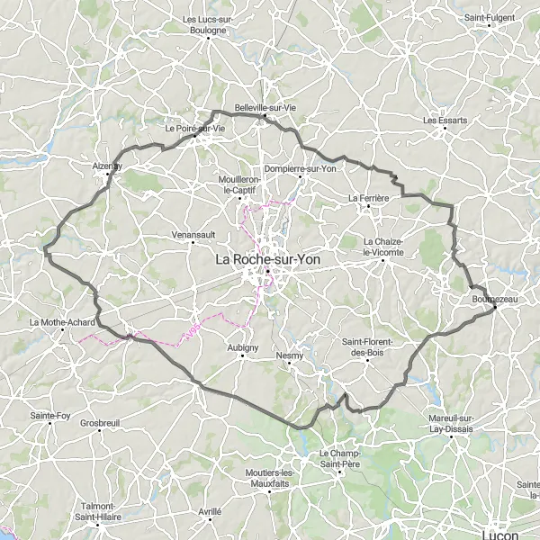
Experience the beauty of the countryside on this scenic road cycling route
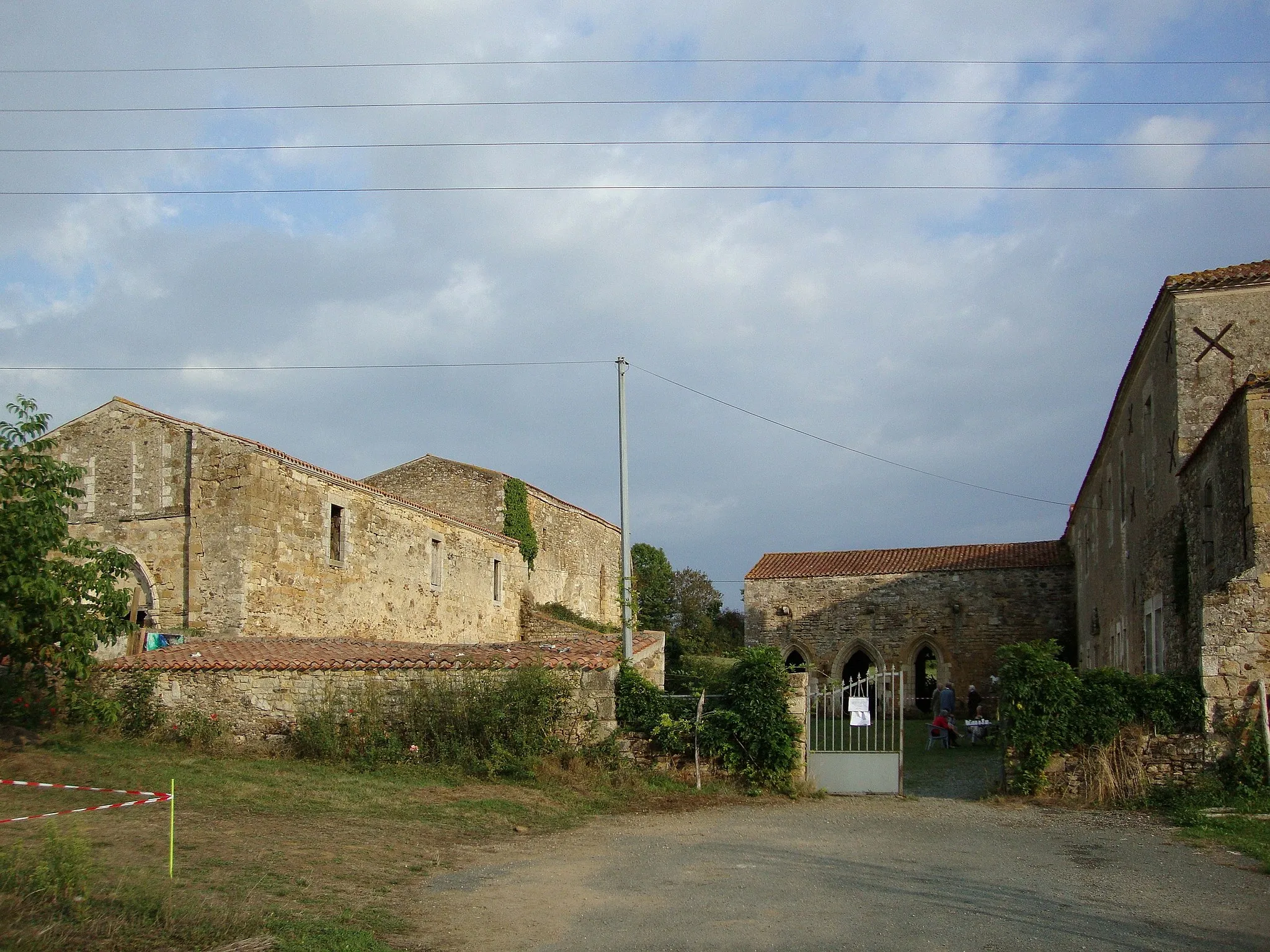
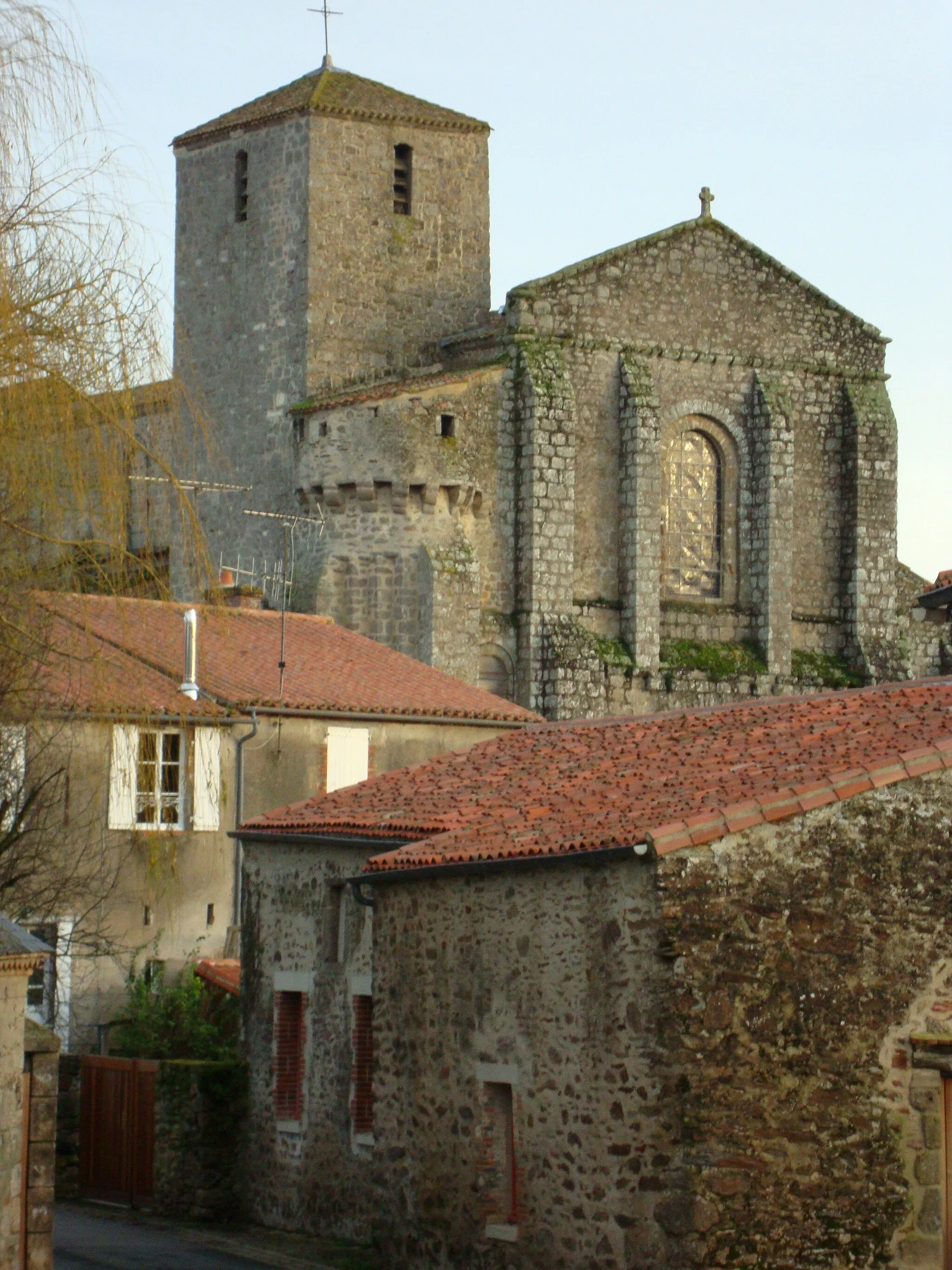
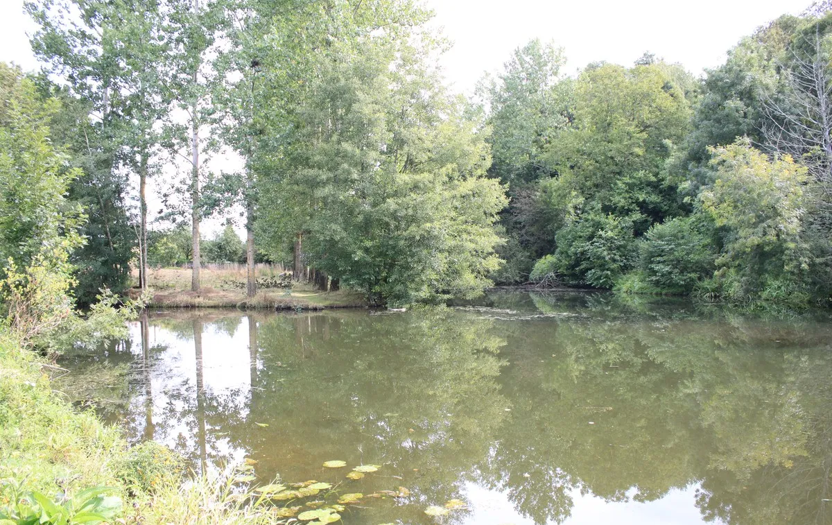
Enjoy a picturesque road cycling route from Bournezeau to Château de la Grève. The route covers a distance of 109 kilometers with an ascent of 553 meters, offering a moderate to challenging level of difficulty. Along the way, you'll pass through charming villages, rolling countryside, and historic sites. Highlights include Bournezeau, a lovely village that serves as the starting point, Saint-Florent-des-Bois, known for its natural beauty and outdoor recreation opportunities, Les Clouzeaux, with its peaceful atmosphere and local charm, La Chapelle-Palluau, a picturesque village surrounded by vineyards, Saint-Denis-la-Chevasse, with its stunning landscapes and historic churches, La Merlatière, boasting scenic views of the countryside, and the grand Château de la Grève, a magnificent castle steeped in history. This route offers a perfect blend of natural beauty, cultural heritage, and recreational opportunities.

Embark on an exhilarating gravel adventure through scenic landscapes
Get off the beaten path with this gravel adventure from Thorigny to Bournezeau. Covering a distance of 73 kilometers, this route offers a moderate difficulty level and an ascent of 372 meters. As you cycle through picturesque countryside and charming towns, you'll discover the beauty of the region's gravel roads. Highlights include Thorigny, a peaceful village with winding lanes and a tranquil atmosphere, Chaillé-sous-les-Ormeaux, offering scenic views and charming architecture, Place Napoléon in La Roche-sur-Yon, a vibrant square filled with bustling cafes, and Bournezeau, where the route concludes. Experience the thrill of gravel cycling and immerse yourself in the natural landscapes of this incredible region.

Embark on a thrilling gravel ride through the picturesque countryside near Bournezeau
This adventurous gravel route takes you through stunning landscapes and charming villages of Bournezeau in Pays de la Loire. With a total ascent of 699m over a distance of 74km, it presents a moderate challenge for cyclists. Experience the joy of off-road cycling as you explore the scenic beauty of this region.
Enjoy a scenic ride around Bournezeau with a highlight in Thorigny
This 70 km road cycling route near Bournezeau offers breathtaking views of the surrounding countryside and includes Thorigny as a highlight. With an ascent of 428m, the route is suitable for experienced amateur cyclists. The overall epicness of the route is rated as 3.
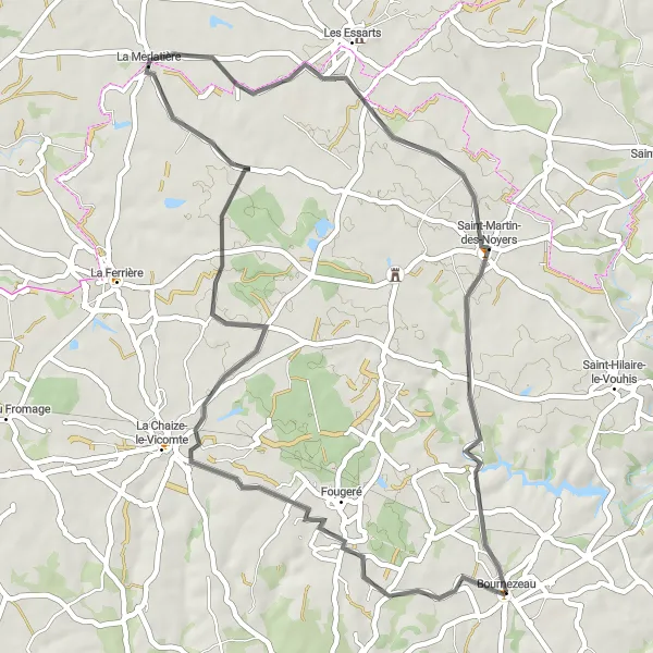
Discover the beauty of the countryside on this scenic road cycling route
Explore the scenic countryside on this road cycling route from Bournezeau to Saint-Martin-des-Noyers. Covering a distance of 51 kilometers with an ascent of 227 meters, this route offers a relatively easy level of difficulty suitable for all skill levels. Highlights include Bournezeau, a picturesque village that serves as the starting point, Fougeré, a small town with a charming atmosphere and traditional architecture, La Merlatière, offering captivating views of the surrounding landscapes, and Saint-Martin-des-Noyers, known for its peaceful ambiance and beautiful countryside. Whether you're a beginner cyclist looking for a leisurely ride or a seasoned rider seeking scenic beauty, this route has something to offer everyone.
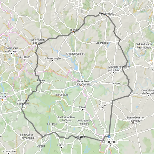
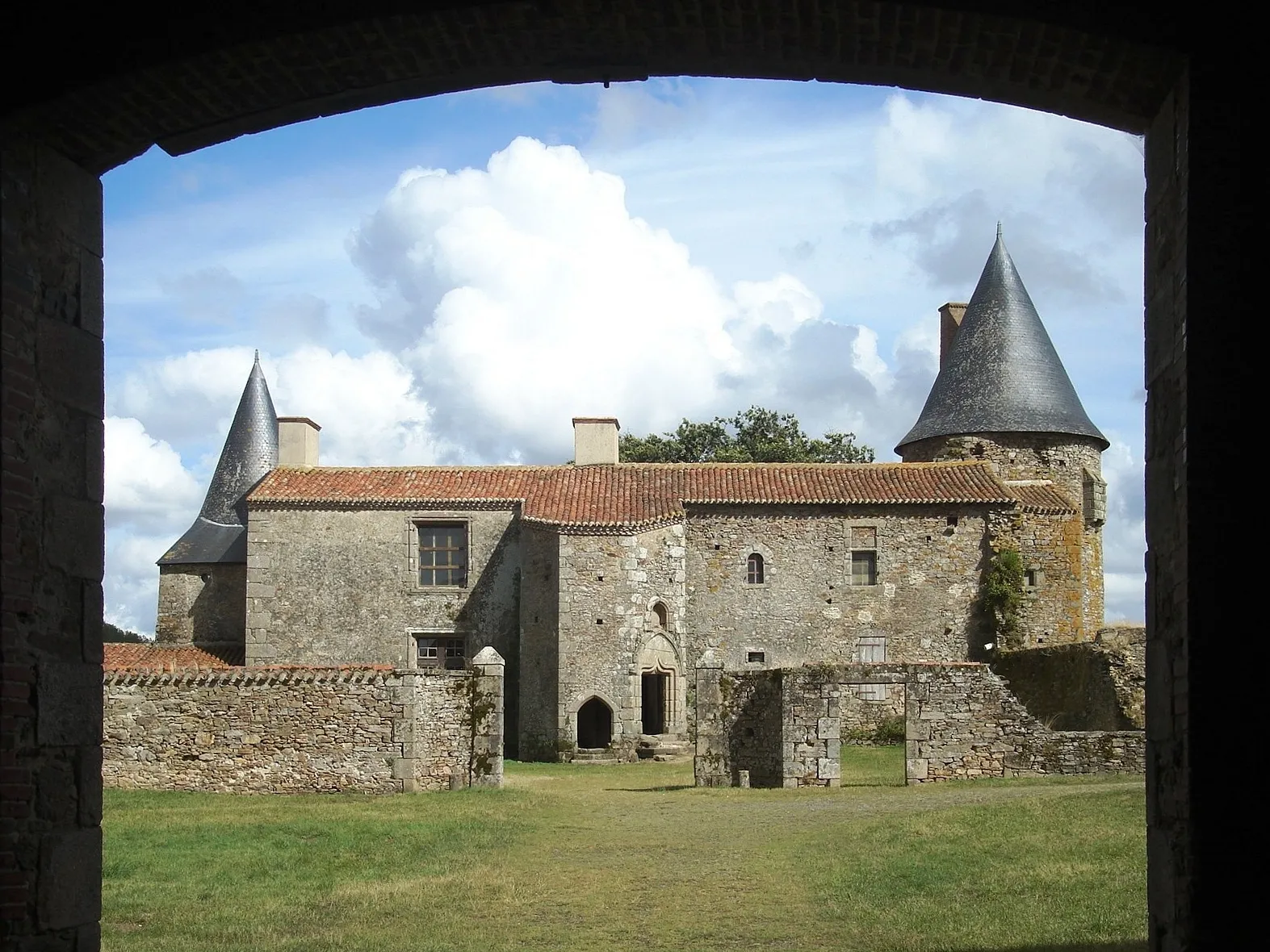
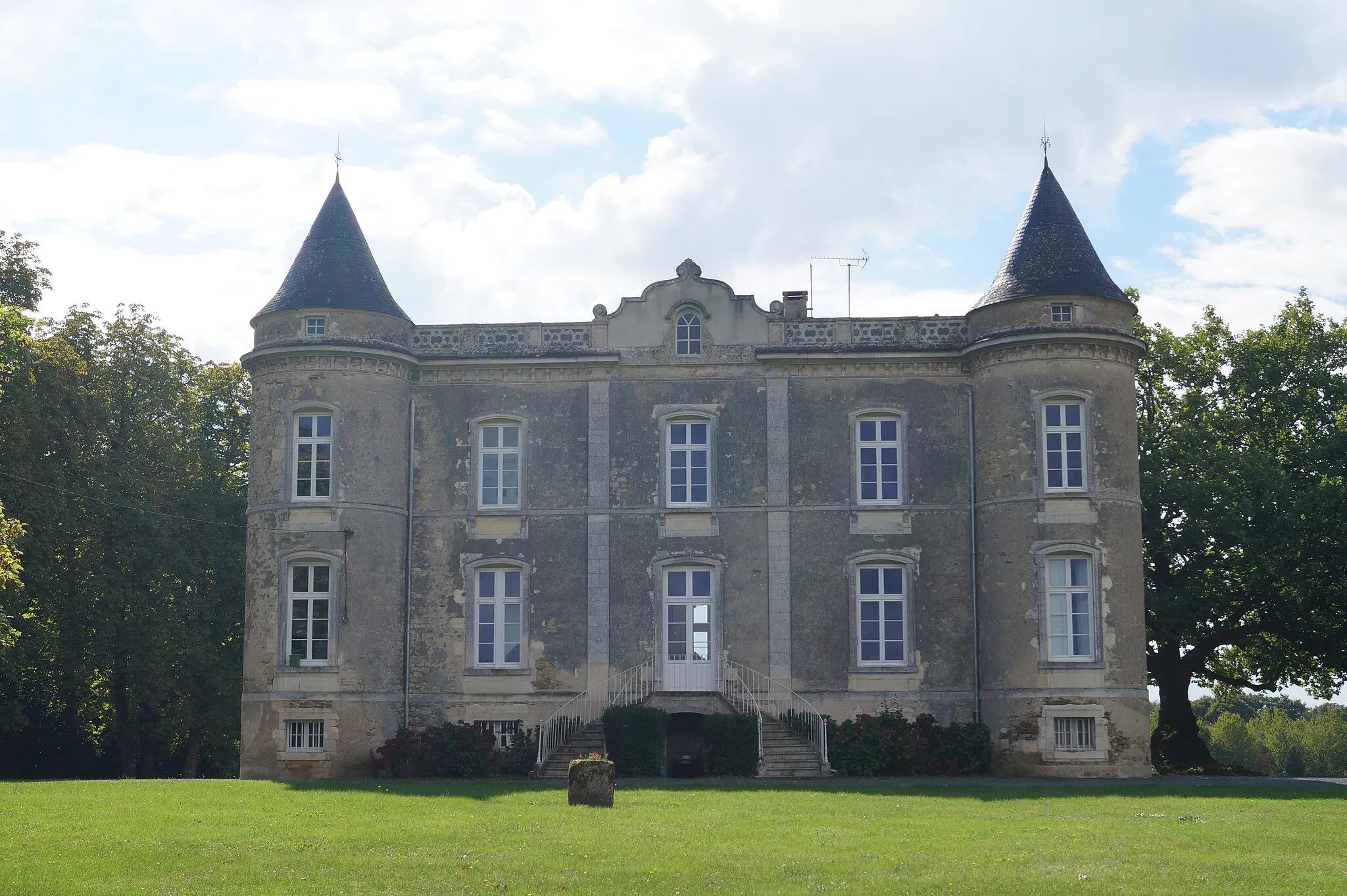
A scenic road cycling route with a highlight at Château de la Grève
This 115 km road cycling route near Bournezeau takes cyclists through picturesque landscapes and charming villages. The highlight of the route is a visit to the historic Château de la Grève, offering panoramic views of the surrounding countryside. With a moderate ascent of 560m, this route is suitable for well-trained amateurs. The overall epicness of the route is rated as 4.
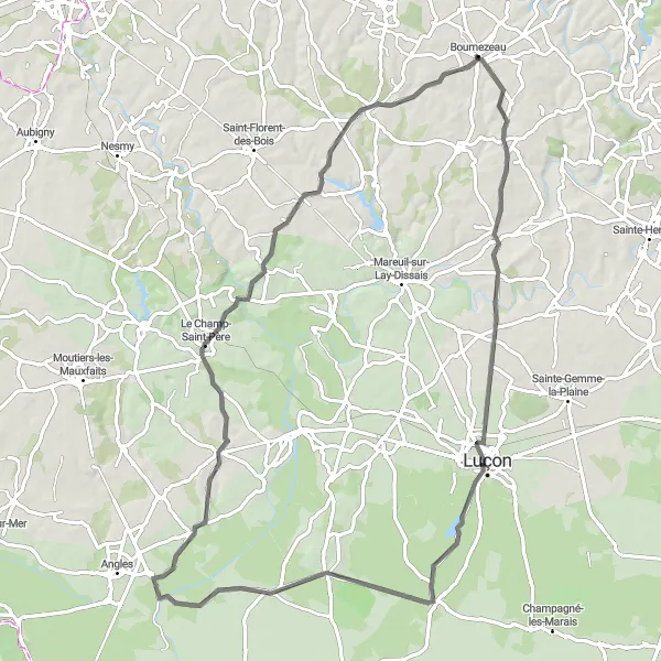
Embark on a thrilling road cycling adventure through picturesque landscapes
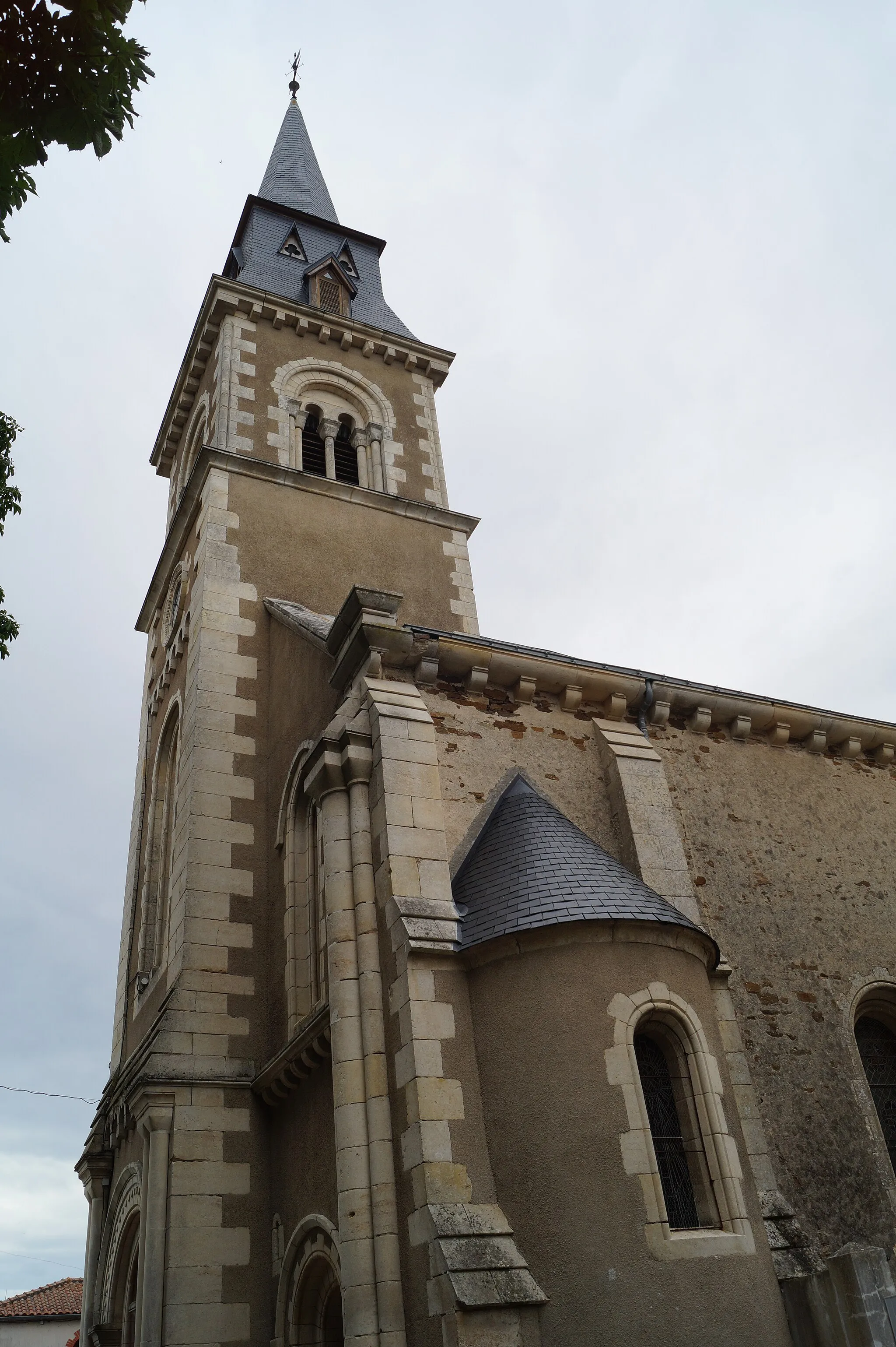
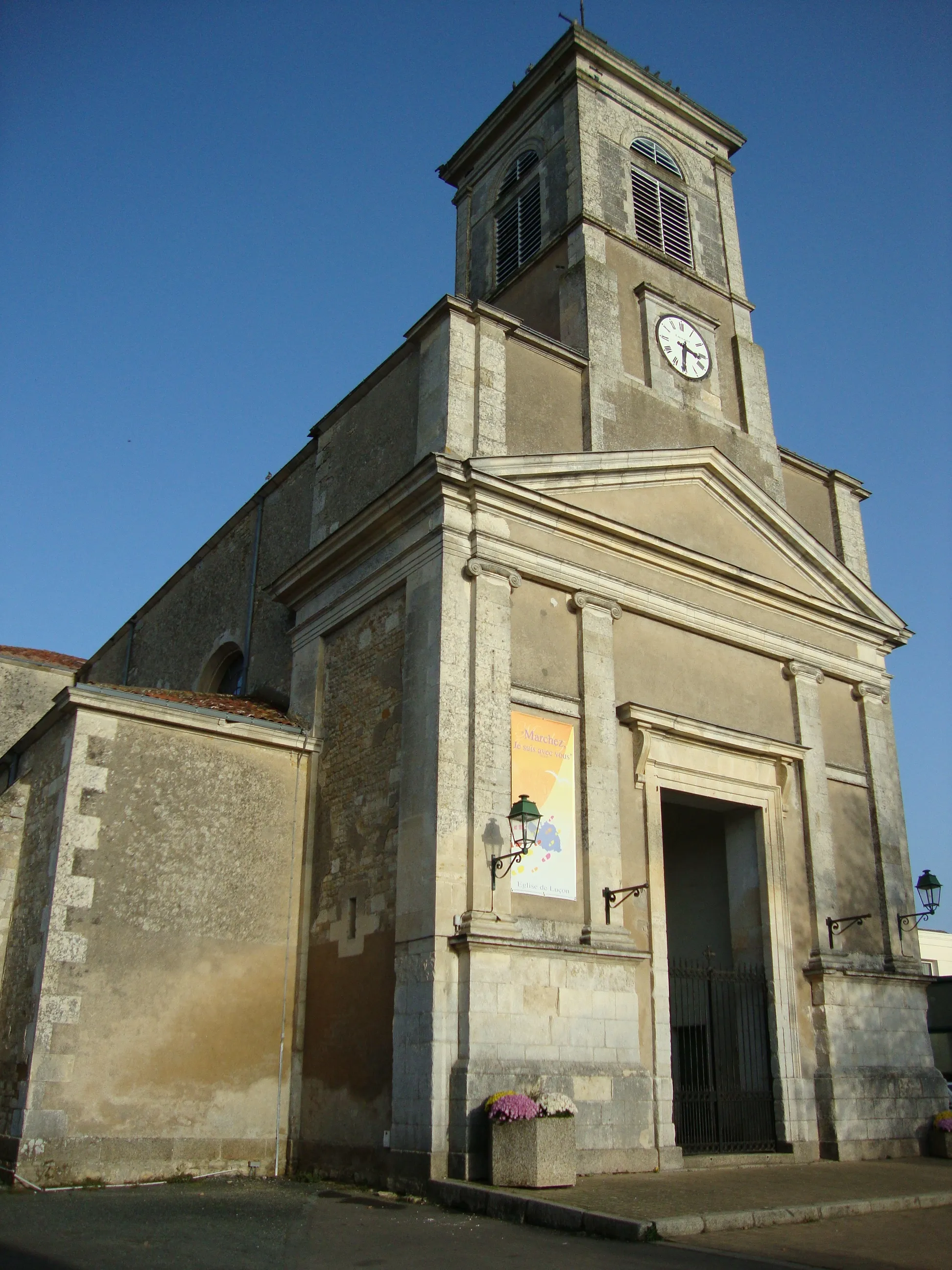
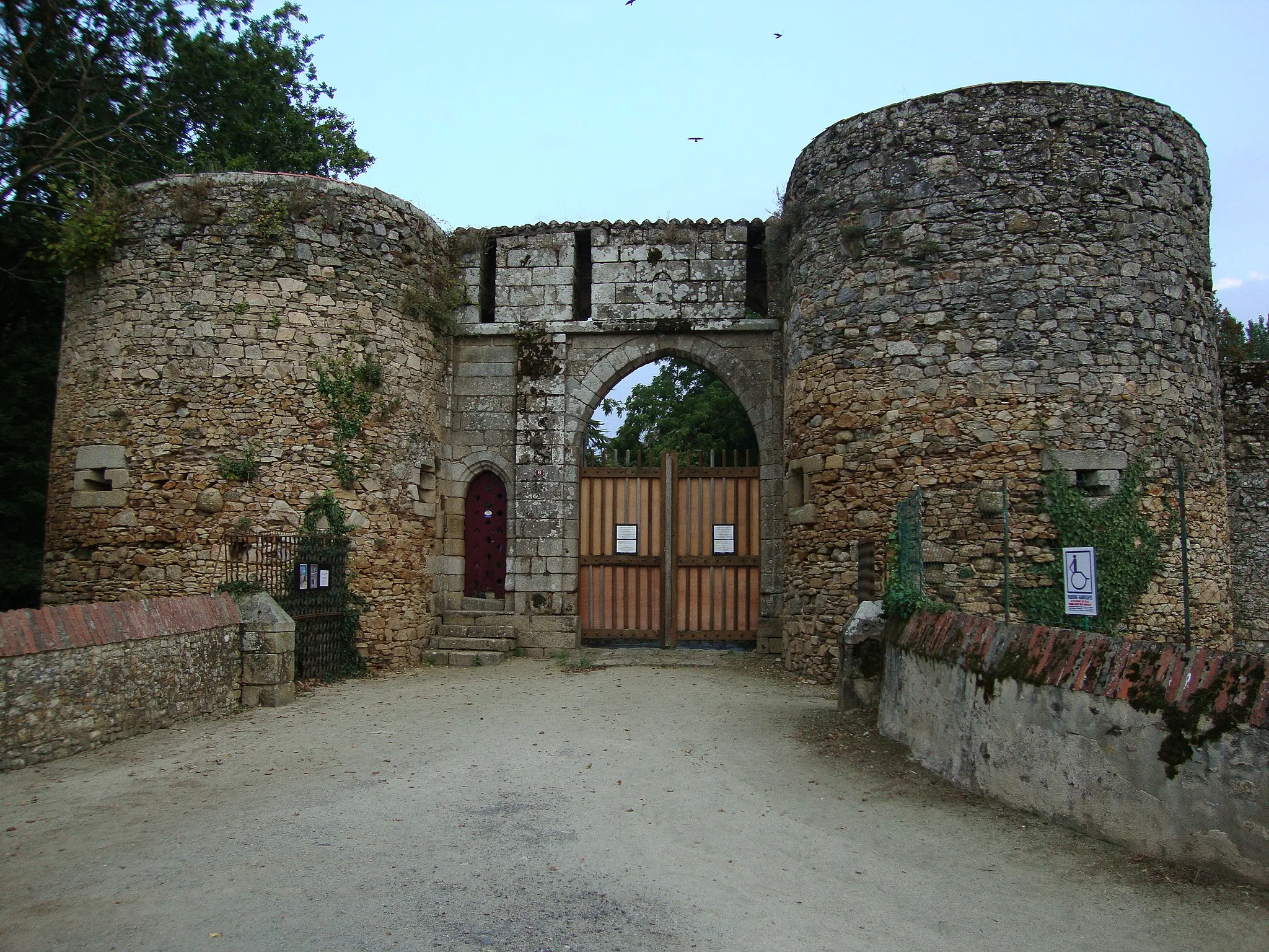
Get ready for an exciting road cycling adventure from Moutiers-sur-le-Lay to Thorigny. This challenging route covers a distance of 81 kilometers with an ascent of 406 meters. You'll pass through stunning landscapes, charming towns, and historical sites. Highlights include Moutiers-sur-le-Lay, a picturesque town with a beautiful Romanesque church, Luçon, home to the stunning Cathédrale Notre-Dame-de-l'Assomption, Saint-Denis-du-Payré, known for its idyllic countryside, Saint-Cyr-en-Talmondais, with its impressive medieval castle ruins, and Thorigny, a peaceful village perfect for a relaxing break. With its diverse scenery and historical landmarks, this route promises a memorable cycling experience.
Cycling routes nearby:
Nearby regions: