Discover the versatile cycling routes of Ernée
Cycling routes from Ernee
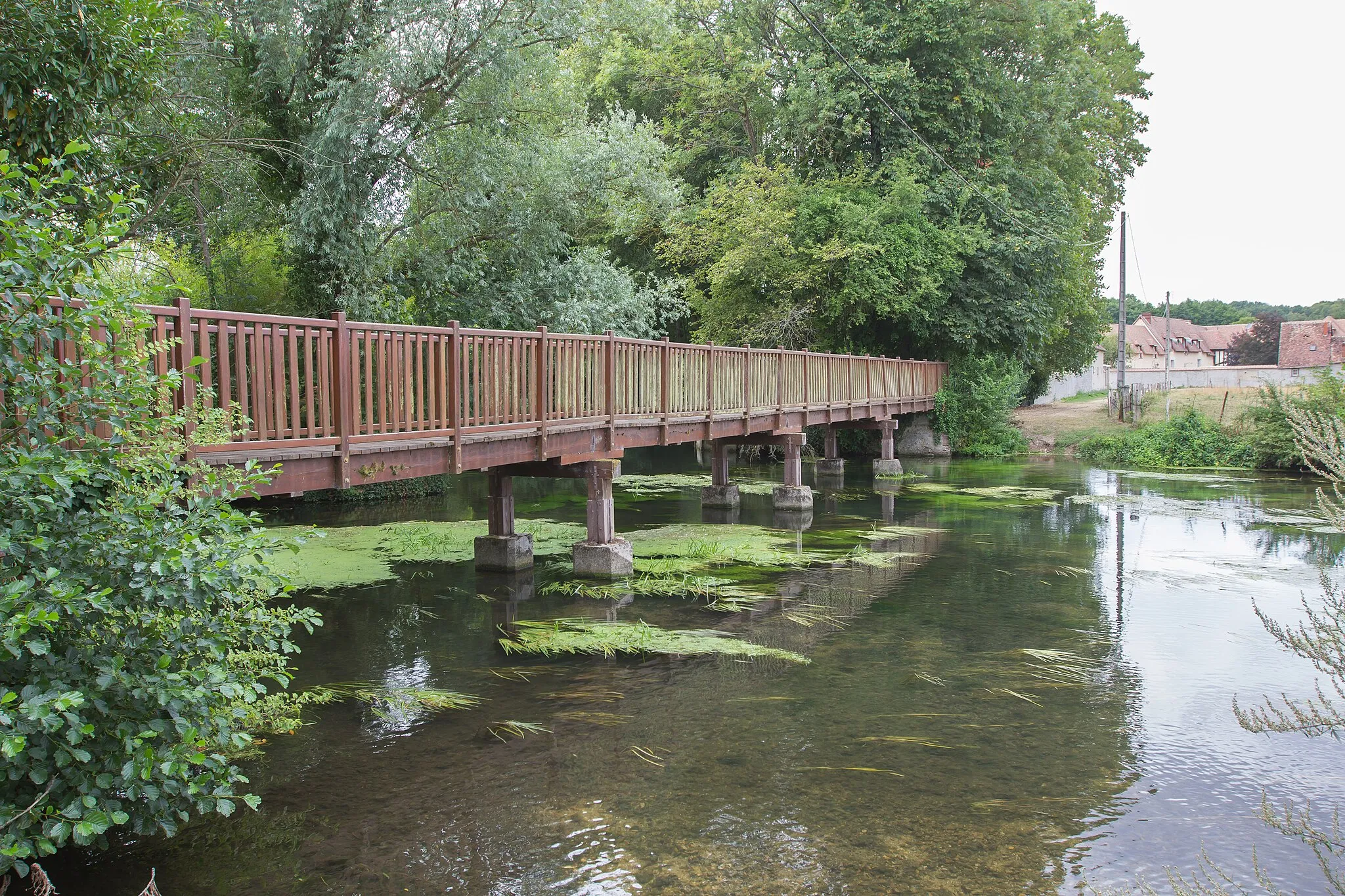
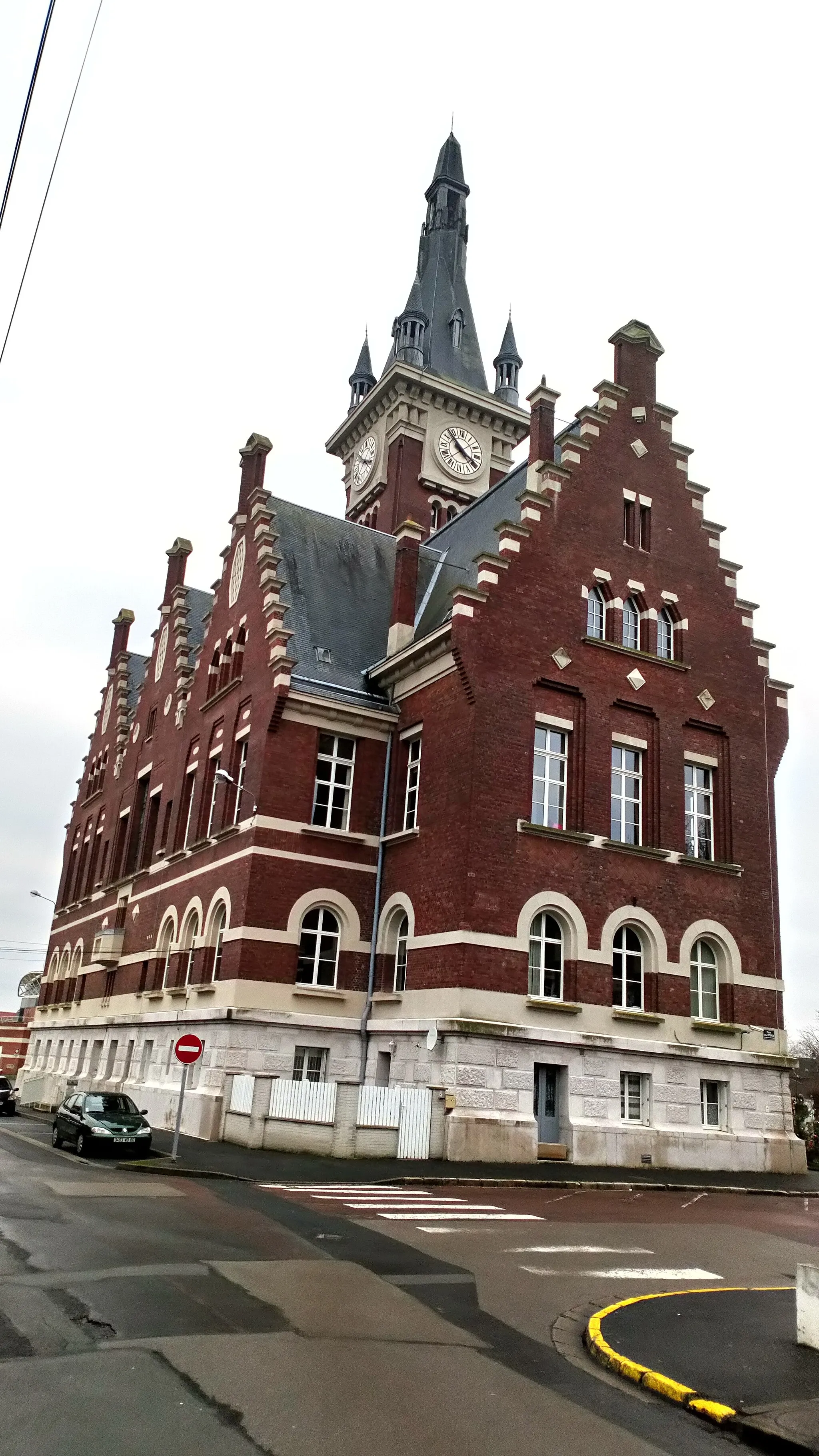
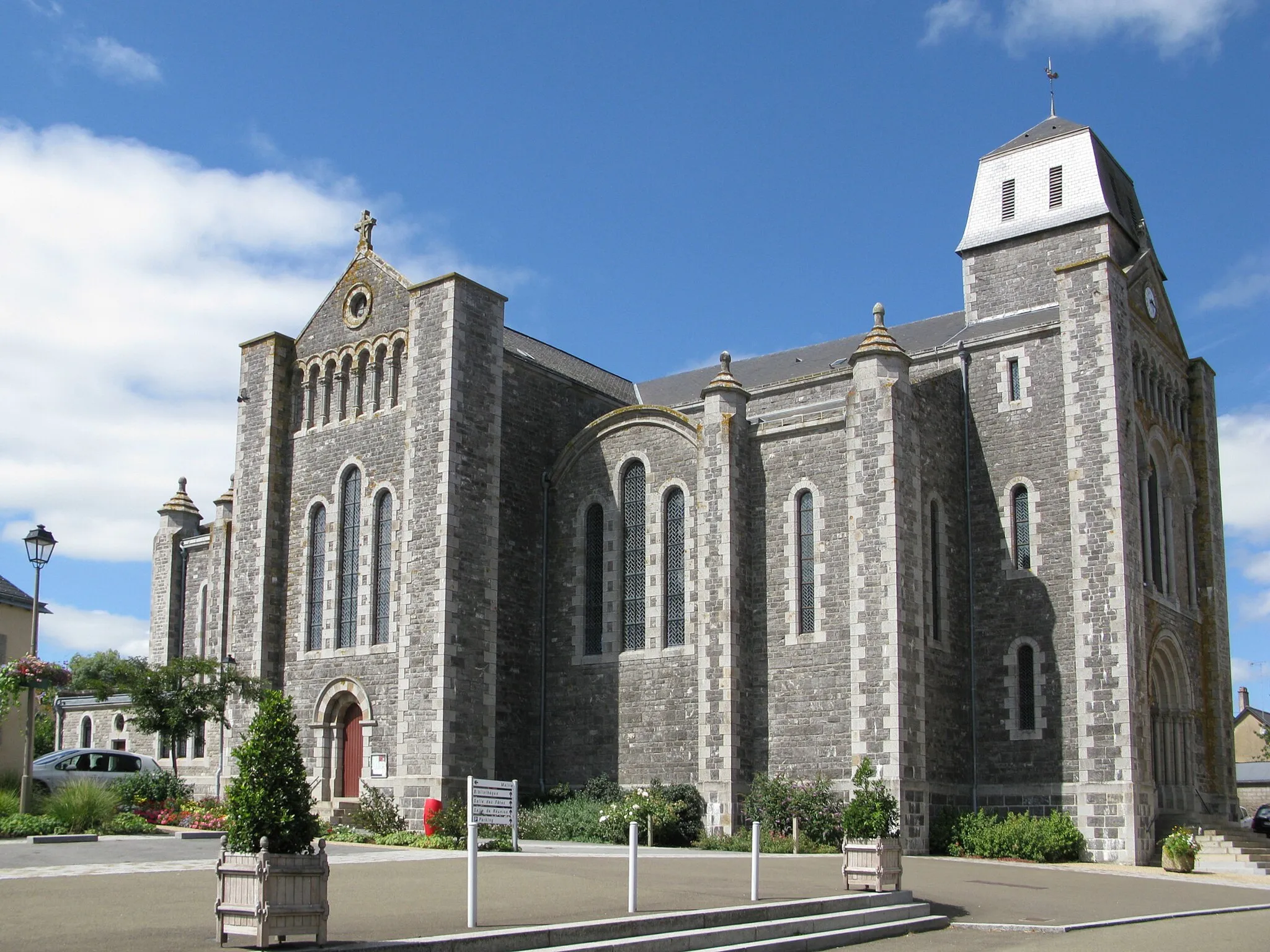
Ernée, located in Pays de la Loire, France, is a popular destination for road and gravel cyclists. The region offers a variety of terrains and landscapes, including rolling hills, forests, and scenic countryside routes. In Ernée, cyclists can enjoy challenging rides and breathtaking views. One of the notable cycling-related spots nearby is the Circuit d'Ernée, which is known for hosting motocross and off-road biking events. With its versatile terrain and cycling-friendly environment, Ernée is highly regarded among cyclists and enthusiasts.
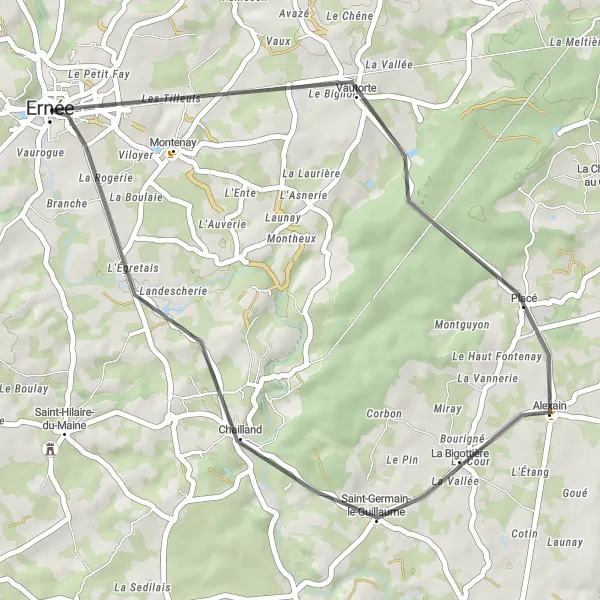
Cycle through the peaceful countryside and discover the scenic villages of Vautorte and La Bigottière.
This round-trip road cycling route near Ernée offers a tranquil escape surrounded by rural landscapes. With a moderate difficulty level and a distance of 37 km, the route showcases the picturesque villages of Vautorte and La Bigottière. Enjoy the calming ambiance as you ride through quiet roads and take in the natural beauty of the Pays de la Loire region.
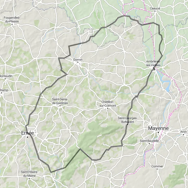
The Gastines Loop
Discover the scenic beauty of Gastines along this 69-kilometer road cycling route.
Embark on a journey through picturesque landscapes as you tackle this 69-kilometer road cycling route starting near Ernée. With a moderate difficulty level, this route encompasses rolling hills and offers stunning views of the surrounding countryside. Marvel at the historic town of Ernée and enjoy the tranquil atmosphere of Saint-Denis-de-Gastines along the way.
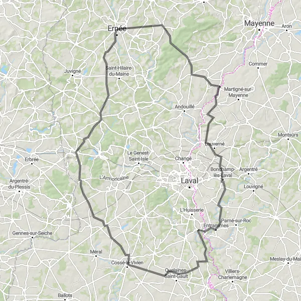
Embark on a 124-kilometer road cycling adventure through the scenic countryside of Louverné.
Explore the enchanting countryside of Louverné on this 124-kilometer road cycling route starting near Ernée. With a difficulty rating of 4, this route is perfect for seasoned cyclists. Marvel at the stunning beauty of Vautorte and enjoy the tranquil atmosphere of Alexain. Pass through picturesque villages, such as Quelaines-Saint-Gault and Cossé-le-Vivien, and soak in the charm of La Gravelle. Experience the fascinating history of Le Bourgneuf-la-Forêt as you complete this epic route.
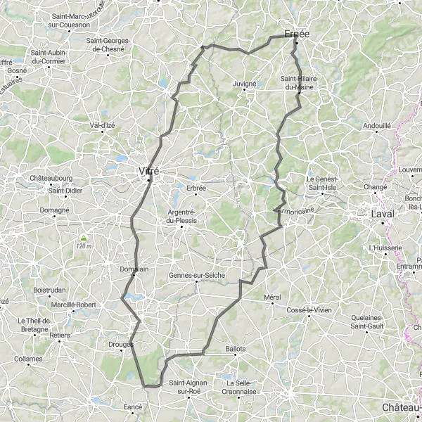
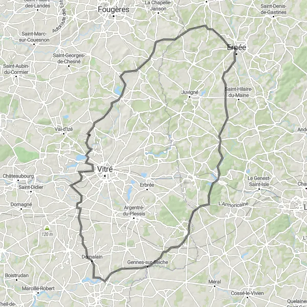
Embark on a challenging road cycling adventure and conquer several key alititudes
This challenging road cycling route near Ernée covers a distance of 140 kilometers and involves a total ascent of 1060 meters. It is recommended for experienced cyclists due to its difficulty level. Along the way, you will pass through several noteworthy locations, including Le Bourgneuf-la-Forêt at 17 kilometers, La Brûlatte at 27 kilometers, Beaulieu-sur-Oudon at 40 kilometers, La Roë at 57 kilometers, La Guerche-de-Bretagne at 79 kilometers, Domalain at 87 kilometers, Vitré at 103 kilometers, and Luitré at 125 kilometers.
The Montenay Challenge
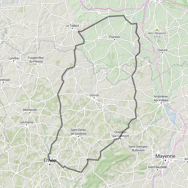
Embark on a challenging 92-kilometer road cycling route and conquer the Montenay ascent.
Prepare yourself for a thrilling adventure on this 92-kilometer road cycling route starting near Ernée. With a difficulty rating of 4, this route is suitable for experienced riders seeking a challenge. Take on the Montenay ascent and be rewarded with breathtaking views from the top. Along the way, explore the quaint town of Levaré and admire the medieval architecture of Saint-Mars-sur-Colmont.
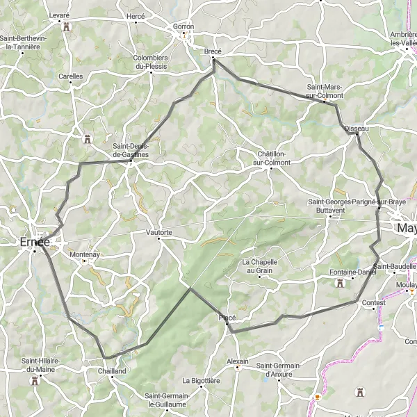
Discover scenic landscapes and charming villages on this road cycling route near Ernée
This road cycling route near Ernée offers stunning views of the countryside and takes you through picturesque villages. With a total ascent of 822 meters and a distance of 94 kilometers, the route is suitable for well-trained amateurs. The highlights include the charming Colombiers-du-Plessis at 14 kilometers, the beautiful Saint-Fraimbault at 34 kilometers, the historic town of Oisseau at 58 kilometers, the peaceful Placé at 75 kilometers, and finally, the starting point in Ernée at 94 kilometers.
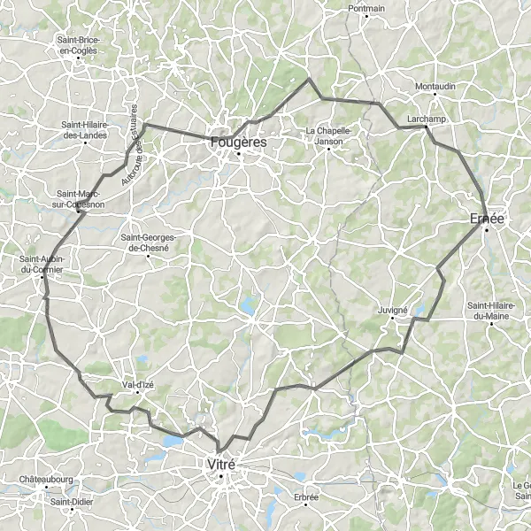
Experience the cultural heritage of the region as you cycle from Château de Fresnay to Châtillon-en-Vendelais.
Embark on a captivating road cycling route that takes you on a cultural journey through the beautiful region near Ernée. With a distance of 121 km and an ascent of 1091 meters, this route is suitable for experienced cyclists seeking a challenging adventure. Visit historic landmarks such as Château de Fresnay and explore the tranquil villages of Le Pertre, Moutiers, Pocé-les-Bois, Châtillon-en-Vendelais, and more, while immersing yourself in the local heritage and picturesque landscapes.
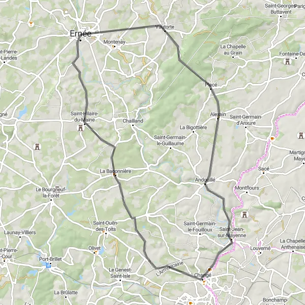
Experience the beauty of the Mayenne region on this scenic road cycling route
This road cycling route near Ernée covers a distance of 64 kilometers and offers breathtaking views of the Mayenne region. With a total ascent of 652 meters, it is suitable for cyclists of moderate fitness levels. Along the way, you will pass through Vautorte at 8 kilometers, Andouillé at 24 kilometers, Saint-Jean-sur-Mayenne at 30 kilometers, La Baconnière at 49 kilometers, and finally, Saint-Hilaire-du-Maine at 56 kilometers.
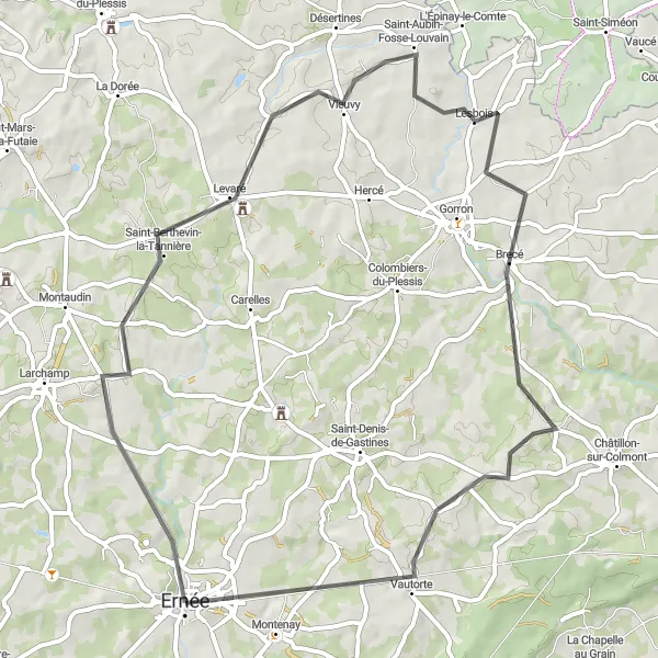
Embark on a 59-kilometer road cycling route and discover the highlights of Ernée and its surroundings.
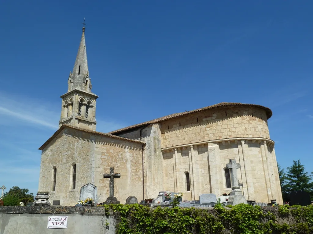
Discover the beauty of Ernée and its surroundings on this 59-kilometer road cycling route starting near the historic town. With a relatively low difficulty rating, this route is ideal for cyclists of all skill levels. Explore the picturesque village of Saint-Berthevin-la-Tannière and its stunning church. Pass through Saint-Aubin-Fosse-Louvain and enjoy the tranquility of its rural landscapes. Visit Brecé and take a moment to admire its well-preserved traditional houses. Marvel at the charming history of Vautorte and conclude your adventure in Ernée, where you can immerse yourself in its rich cultural heritage.
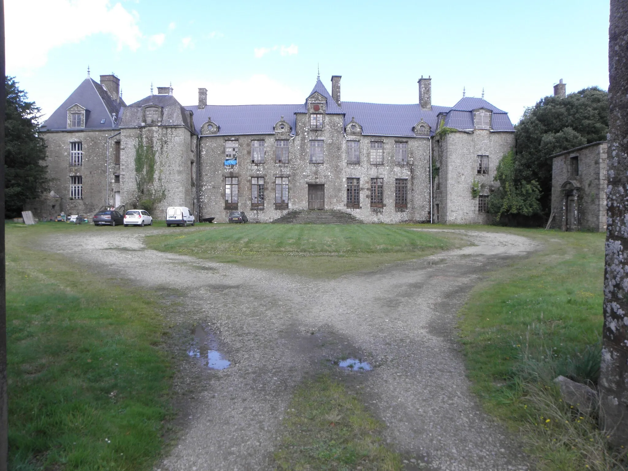
Immerse yourself in the scenic beauty of La Croixille to Larchamp on this captivating road cycling route.
Prepare to be captivated by the scenic beauty and charming towns on this road cycling route near Ernée. With a distance of 110 km and an ascent of 925 meters, this route offers a rewarding challenge for cyclists. Discover hidden gems such as La Croixille, Landavran, Saint-Aubin-du-Cormier, Fougères, Larchamp, and more, as you cycle through breathtaking landscapes and picturesque countryside.
Cycling routes nearby:


Nearby regions: