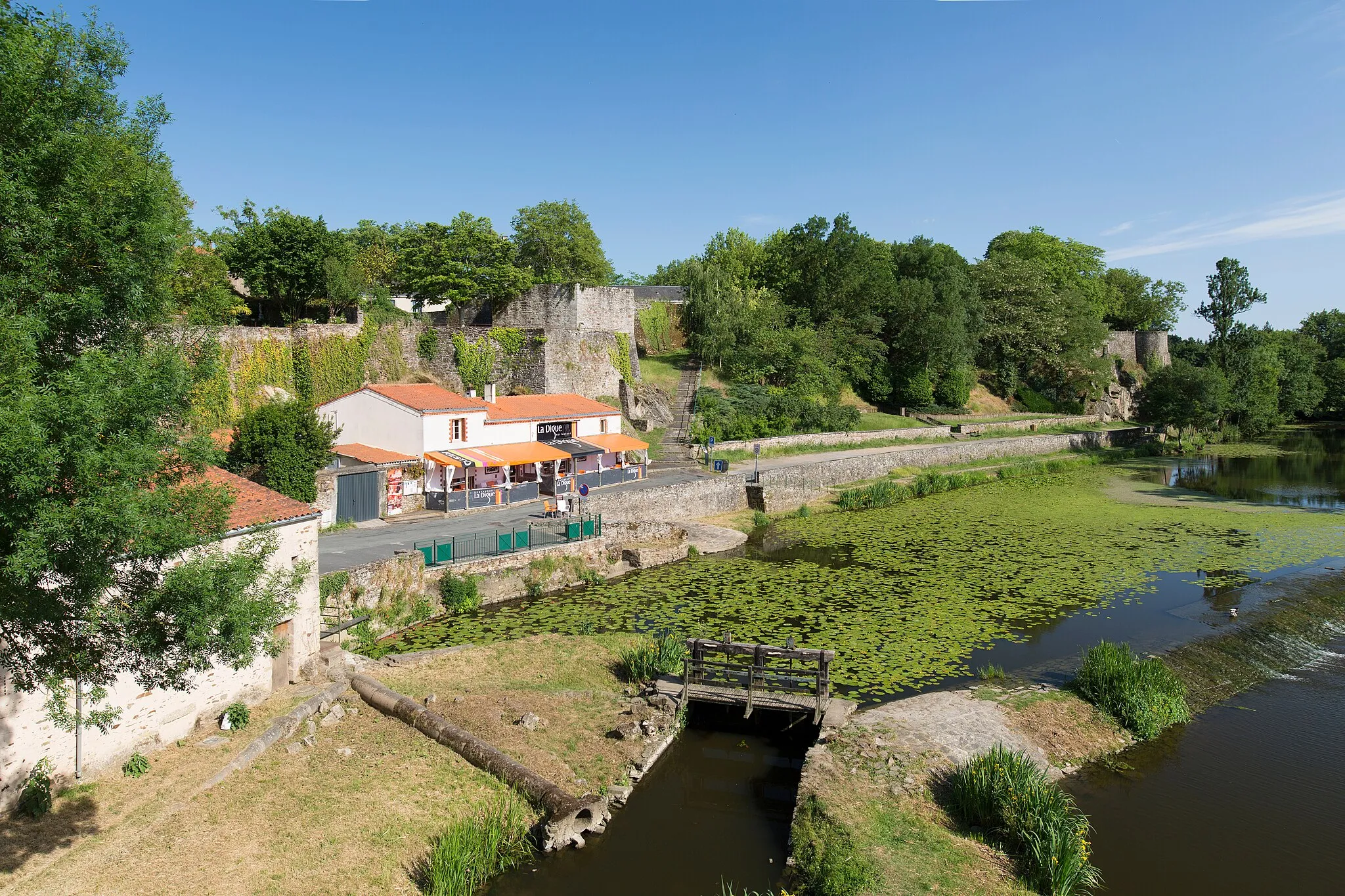
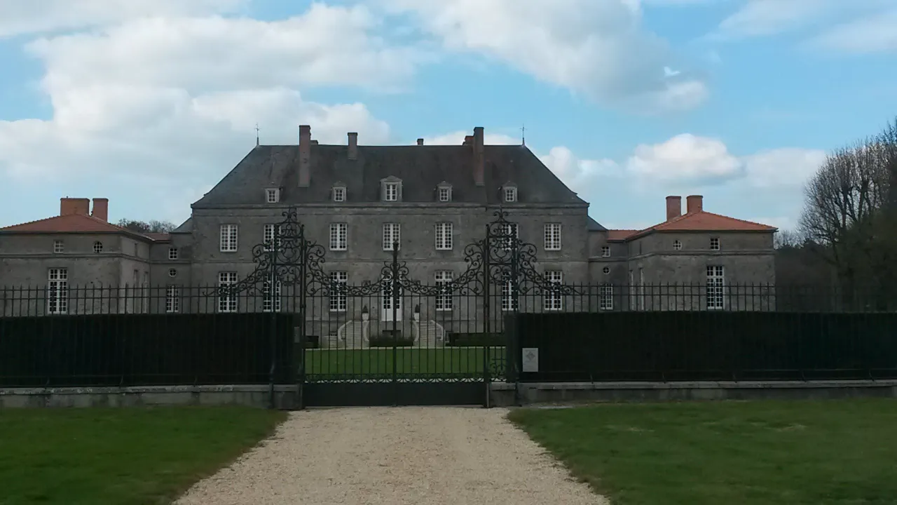
Ride through the bucolic landscapes and discover Château d'Apremont in La Guyonnière.
Cycling routes from La Guyonniere
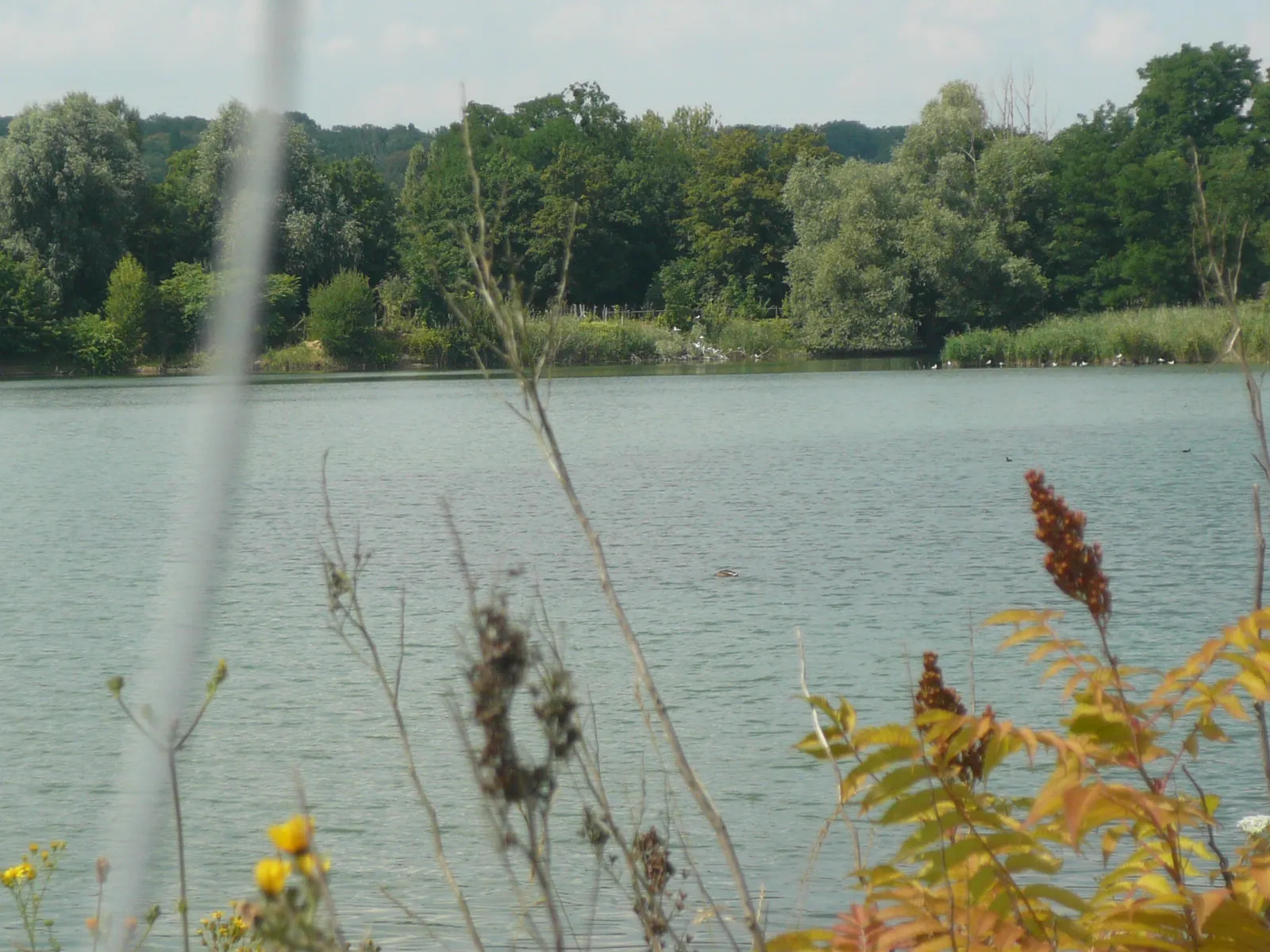
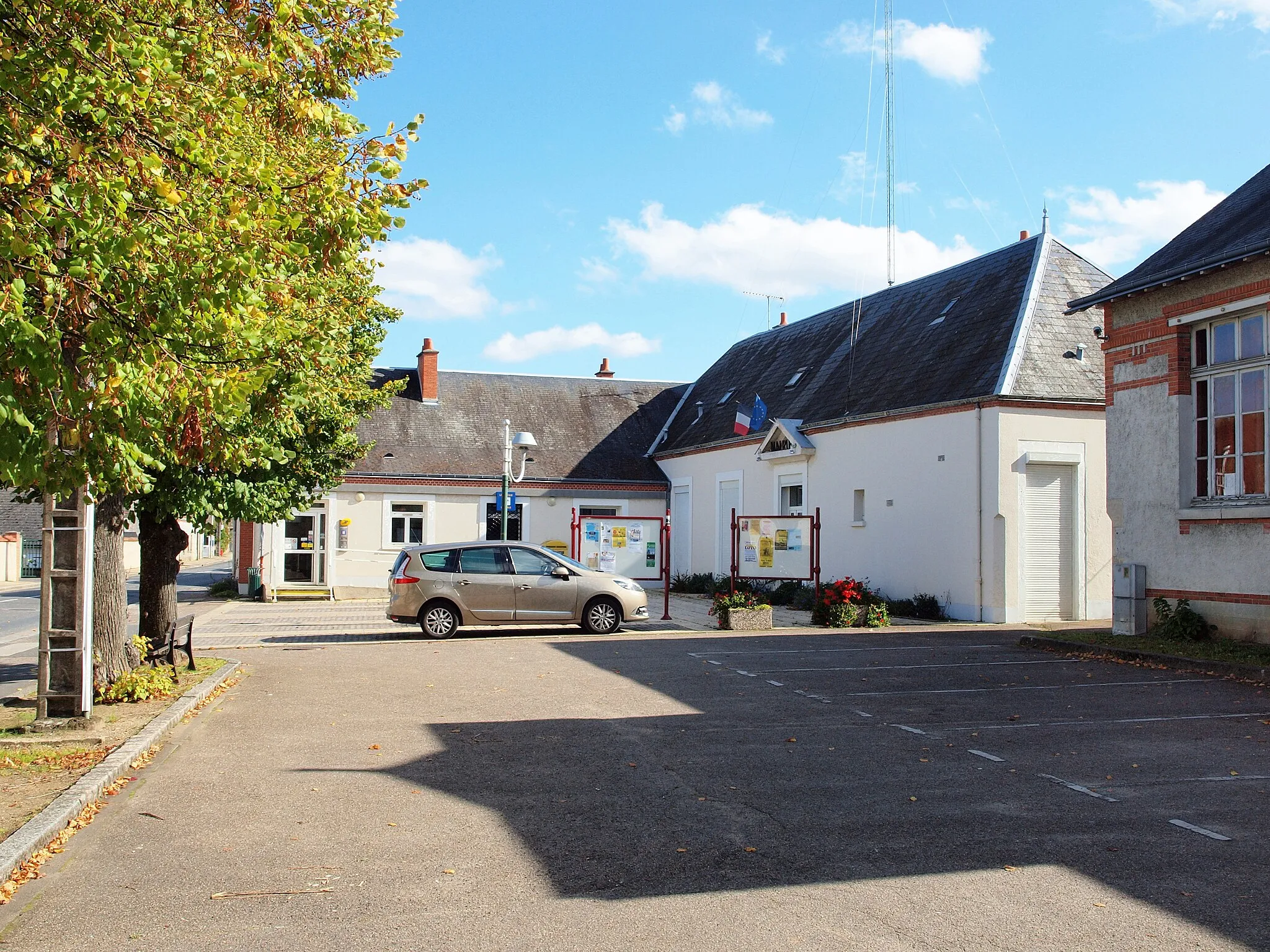
La Guyonnière is a charming locality in the Pays de la Loire region of France. Road and gravel cyclists can enjoy the scenic beauty of the surrounding countryside, with its rolling hills and quaint villages. The area provides a mix of both challenging climbs and flatter terrain, catering to cyclists of varying skill levels. Local highlights include the nearby Château d'Apremont, a picturesque castle perfect for a sightseeing detour. With its combination of natural beauty and interesting landmarks, La Guyonnière scores a 4 for cycling-friendly areas.
A scenic 78km road cycling route with historical highlights.
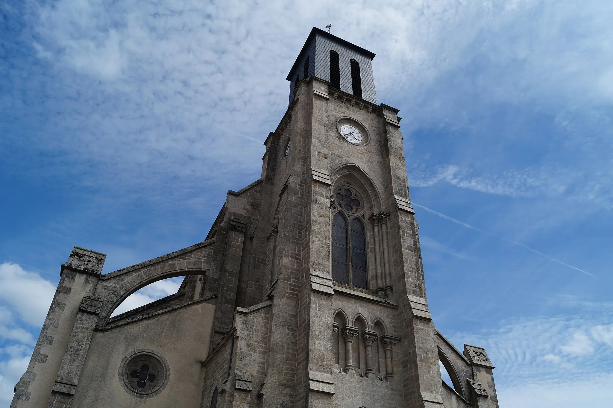
Starting in Saint-Georges-de-Montaigu and ending in La Guyonnière, this 78km road cycling route takes you through picturesque landscapes and highlights such as Rocheservière, known for its charming castle and historic center. The route includes a moderate ascent of 267m, making it suitable for well-trained amateurs. Along the way, you'll pass through Montbert and Remouillé, adding to the historical charm of the journey. La Guyonnière awaits you at the end of the route, offering its serene countryside as a perfect backdrop. Overall, this route provides a mix of natural beauty and cultural exploration.

Explore the rolling hills and charming villages of Pays de la Loire on this scenic round-trip cycling route.
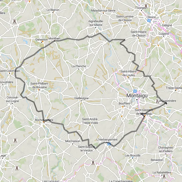
This round-trip cycling route starts and ends in La Guyonnière and takes you through picturesque landscapes, quaint villages, and historic sites. With a total distance of 137 km and an elevation gain of 968 meters, it offers a challenging ride for experienced cyclists. The route showcases the natural beauty of the region, including the Torfou village, La Tessoualle, Saint-Aubin-de-Baubigné, and Mont Mercure. Along the way, you can admire the scenic countryside and enjoy the peaceful atmosphere. Highlights include the medieval village of Cerizay, the charming town of La Flocellière, and the majestic views from Mont Mercure.

A challenging road cycling route with remarkable highlights.
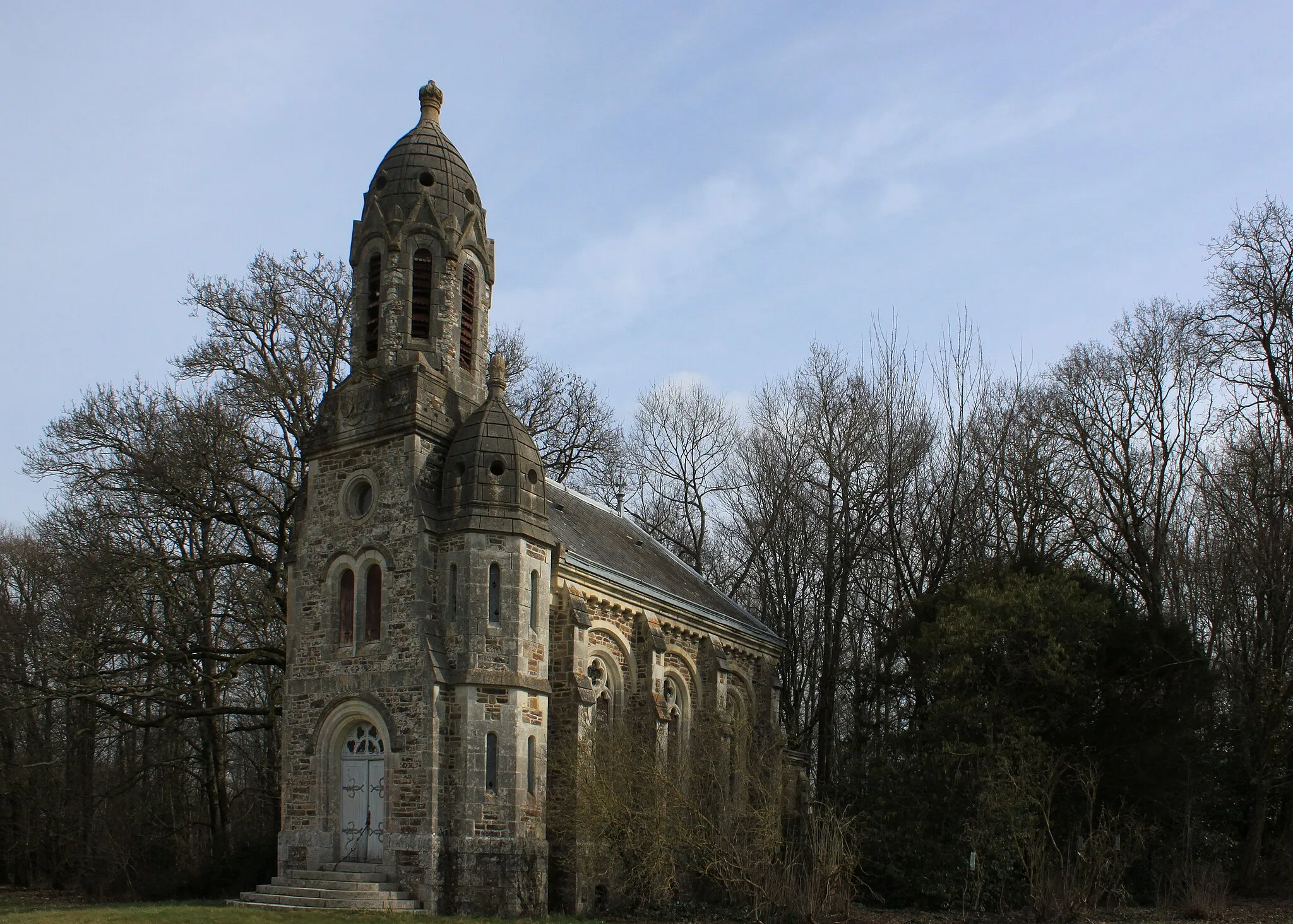
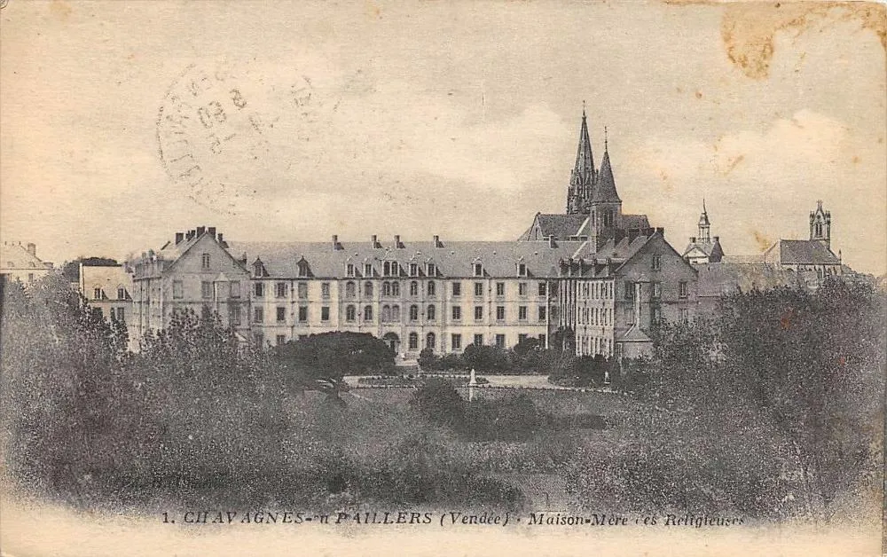
This 111km road cycling route from Treize-Septiers to La Guyonnière offers a challenging ascent of 760m, making it suitable for experienced cyclists. Along the way, you'll pass through towns such as Les Herbiers and Monsireigne, each with their own unique charm. The route also takes you through the stunning landscapes of Chavagnes-en-Paillers, offering breathtaking views. La Guyonnière marks the endpoint of the route, providing a serene and picturesque destination. Overall, this route offers a mix of challenging cycling, diverse landscapes, and interesting cultural sites.

A scenic road cycling route with historical highlights along the way.
This route takes you through the picturesque countryside of Pays de la Loire, passing by historical highlights such as Torfou and Les Landes-Genusson. With a moderate ascent of 275m, the 46km distance offers a manageable challenge for well-trained amateurs. The route starts in Boussay and ends in La Guyonnière, providing plenty of opportunities to witness the region's natural beauty and enjoy the peaceful surroundings. Overall, it offers a delightful cycling experience combined with cultural exploration.

Venture off the beaten path on this thrilling gravel adventure starting from La Guyonnière.
If you're looking for an exhilarating gravel adventure, this route is the perfect choice. Starting and ending in La Guyonnière, the 51 km loop includes 141 meters of elevation gain. The scenic route takes you through gravel paths, forested areas, and picturesque countryside. As you cycle, you can admire the natural beauty of the region and explore charming villages along the way. Highlights include the village of Montaigu, known for its historic castle and old town charm, and Aigrefeuille-sur-Maine, a picturesque village with traditional houses and beautiful gardens. As you ride through the countryside, you'll also pass by Saint-Hilaire-de-Clisson, a small village with a tranquil atmosphere and lovely views over the surrounding vineyards. The route ends back in La Guyonnière, where you can relax and bask in the satisfaction of completing a thrilling gravel adventure.
Embark on a scenic road cycling loop through charming villages and scenic landscapes near La Guyonnière.
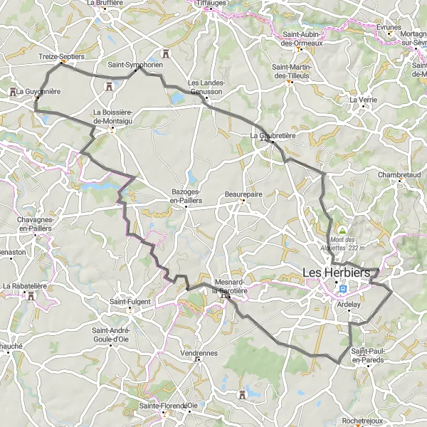
This road cycling loop starts from La Guyonnière and covers a distance of 72 km with an elevation gain of 432 meters. The route takes you through picturesque villages, rolling hills, and the iconic Mont des Alouettes. It offers a moderate level of difficulty, suitable for intermediate cyclists. Along the way, you can explore Treize-Septiers, known for its quaint streets and historic buildings. The village of La Gaubretière is another highlight, with its charming atmosphere and beautiful old stone houses. The route also includes a visit to Mont des Alouettes, a popular cycling spot with stunning views over the surrounding area. The loop ends back in La Guyonnière, where you can relax and enjoy the peaceful ambiance of this charming village.

Test your cycling skills with this challenging circuit, featuring beautiful landscapes and historic sites.
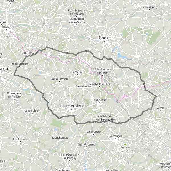
Get ready for a challenging ride on this 85 km circuit starting from La Guyonnière. With an elevation gain of 557 meters, this route is suitable for experienced cyclists looking for a demanding workout. As you cycle through the scenic landscapes of Pays de la Loire, you'll pass through charming villages, rolling hills, and historic sites. Highlights include Cugand, a small village with a tranquil atmosphere and lovely countryside views, and Château de Tiffauges, a majestic castle known as the birthplace of Bluebeard. The route also takes you through Villedieu-la-Blouère, a picturesque village with traditional houses and beautiful rural surroundings. As you approach La Guyonnière towards the end of the circuit, you'll pass through La Boissière-de-Montaigu, a village with a rich history and a charming old town area.

A scenic road cycling route with historical highlights along the way.
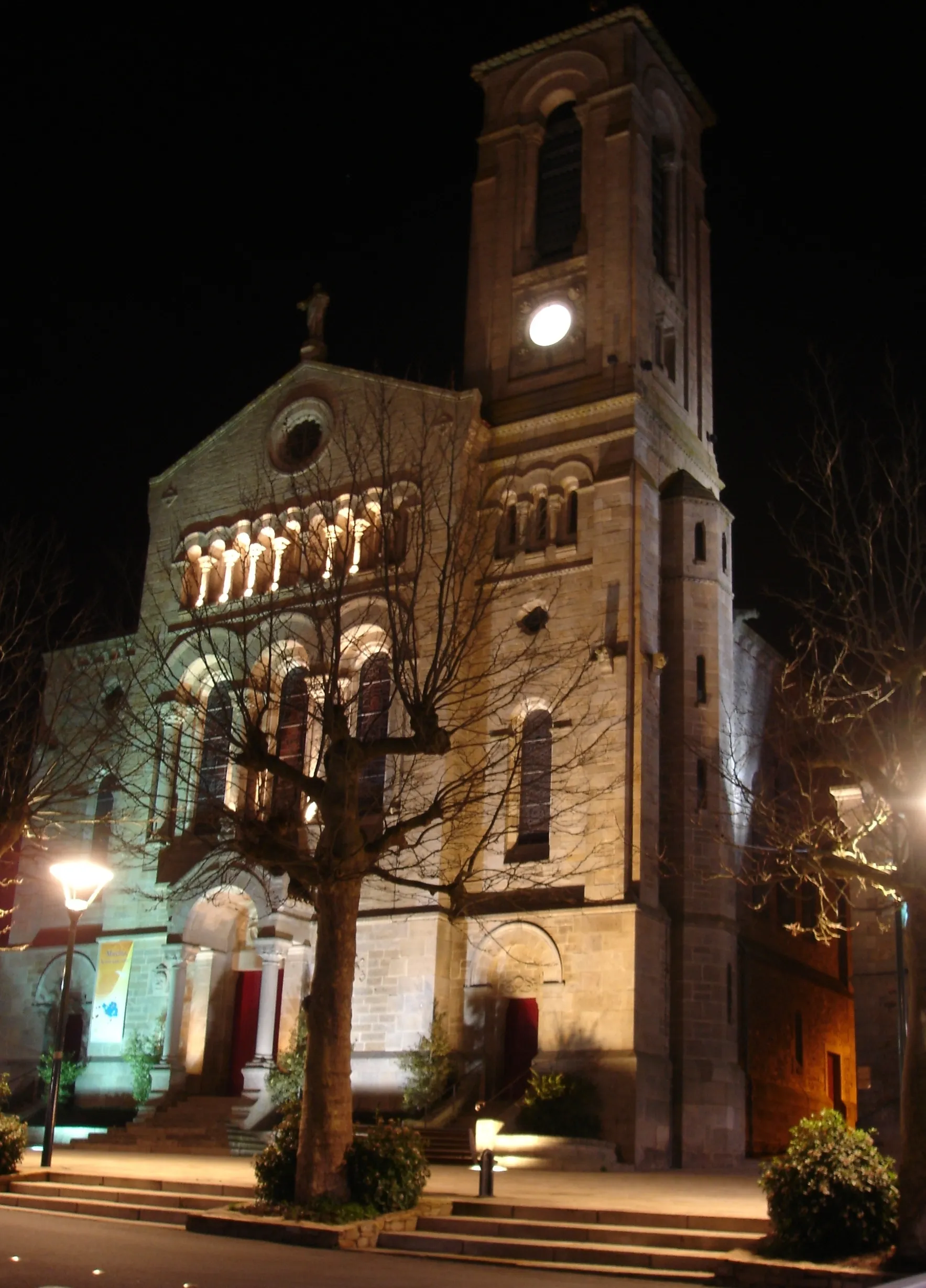
Starting in Saint-Hilaire-de-Loulay and ending in La Guyonnière, this 45km road cycling route offers a moderate cycling challenge with a total ascent of 178m. Along the way, you'll pass by the Porte de Ville, a historical gate that once marked the entrance to the town. The route takes you through beautiful countryside and charming villages, providing a delightful cycling experience. Overall, it offers a scenic tour of the region, combining natural beauty with a touch of history.
Embark on an unforgettable cycling journey through the picturesque landscapes of Vendée.
Discover the beauty of Vendée landscapes on this 123 km cycling journey, starting and ending in La Guyonnière. With an ascent of 812 meters, this route offers a challenging ride for experienced cyclists. Along the way, you'll pass through charming villages and enjoy breathtaking views over the countryside. Highlights include Torfou, known for its charming streets and medieval architecture, and La Tessoualle, a picturesque village with a tranquil atmosphere. Rorthais is another notable highlight, with its beautiful surroundings and traditional French charm. As you continue the journey, make a stop in Saint-Paul-en-Pareds to admire the picturesque countryside views and visit the Chapelle de Carmel, a holy site with a rich history. The route also takes you through Bazoges-en-Paillers, a village known for its 15th-century castle and charming old town area.

A scenic 72km road cycling route with historical highlights.
This 72km road cycling route starts at Manoir de la Roche-Thévenin and ends in La Guyonnière, providing a delightful journey through the beautiful landscapes of Pays de la Loire. With a ascent of 279m, the route offers a moderate challenge for experienced cyclists. Highlights along the way include Cugand and La Haie-Fouassière, both offering scenic beauty and historical significance. La Guyonnière serves as the final destination, inviting cyclists to relax in its peaceful surroundings. Overall, this route combines stunning natural beauty with intriguing cultural sites, creating a memorable cycling experience.
Cycling routes nearby:

Nearby regions: