Diverse cycling adventures in Brenouille
Cycling routes from Brenouille
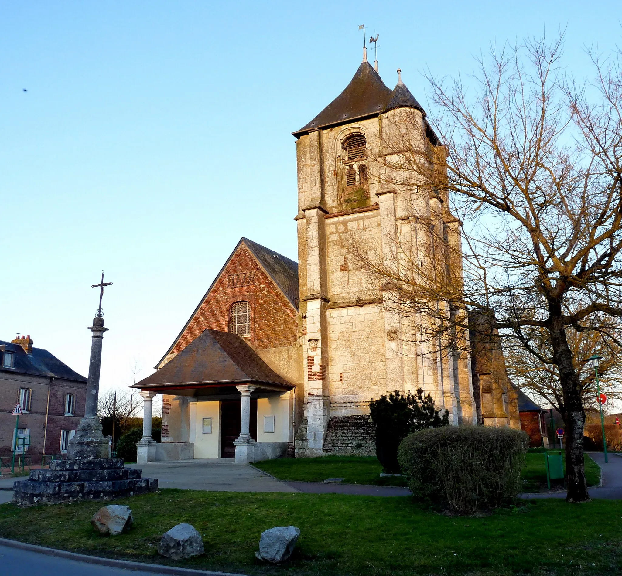
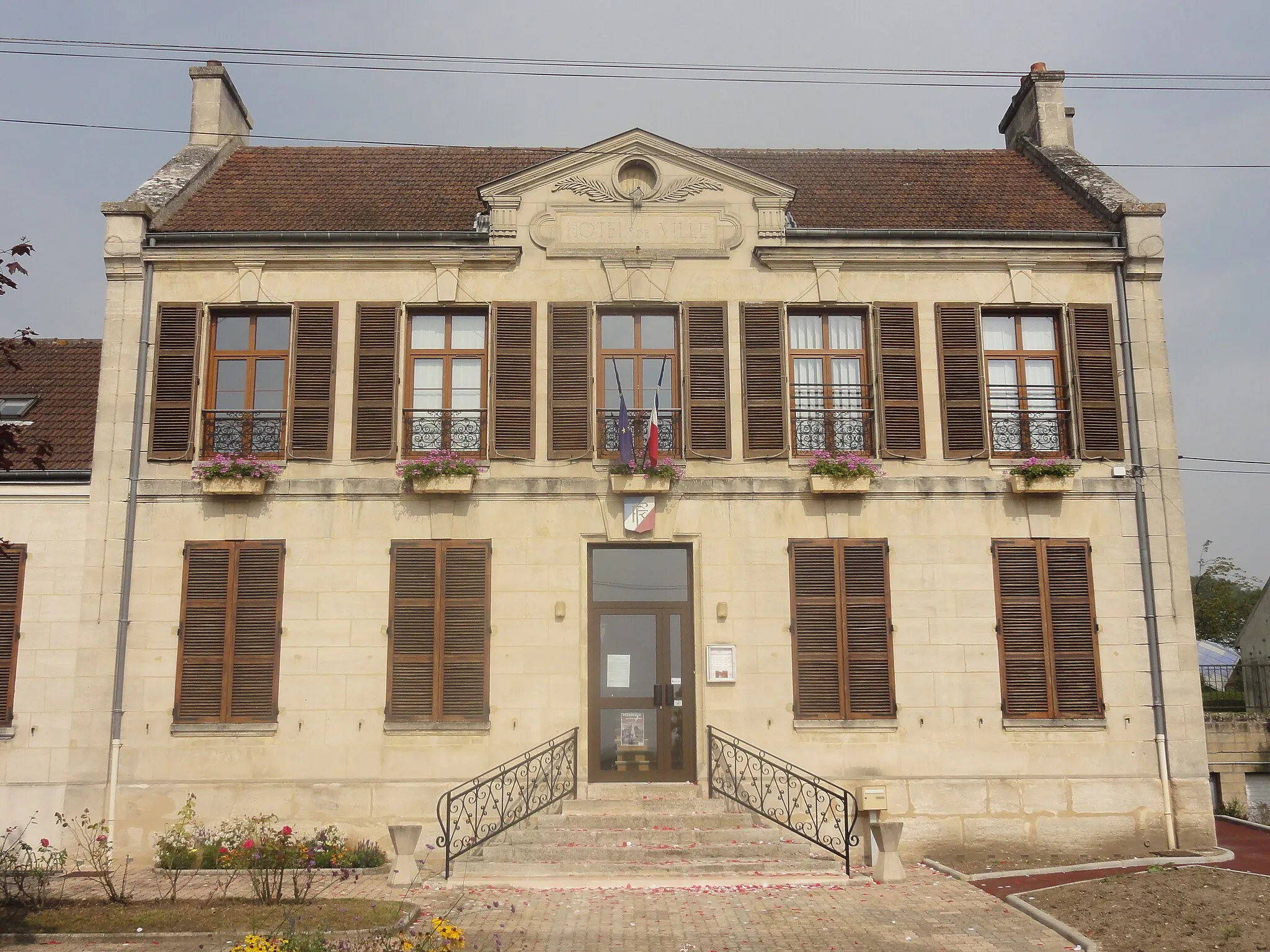
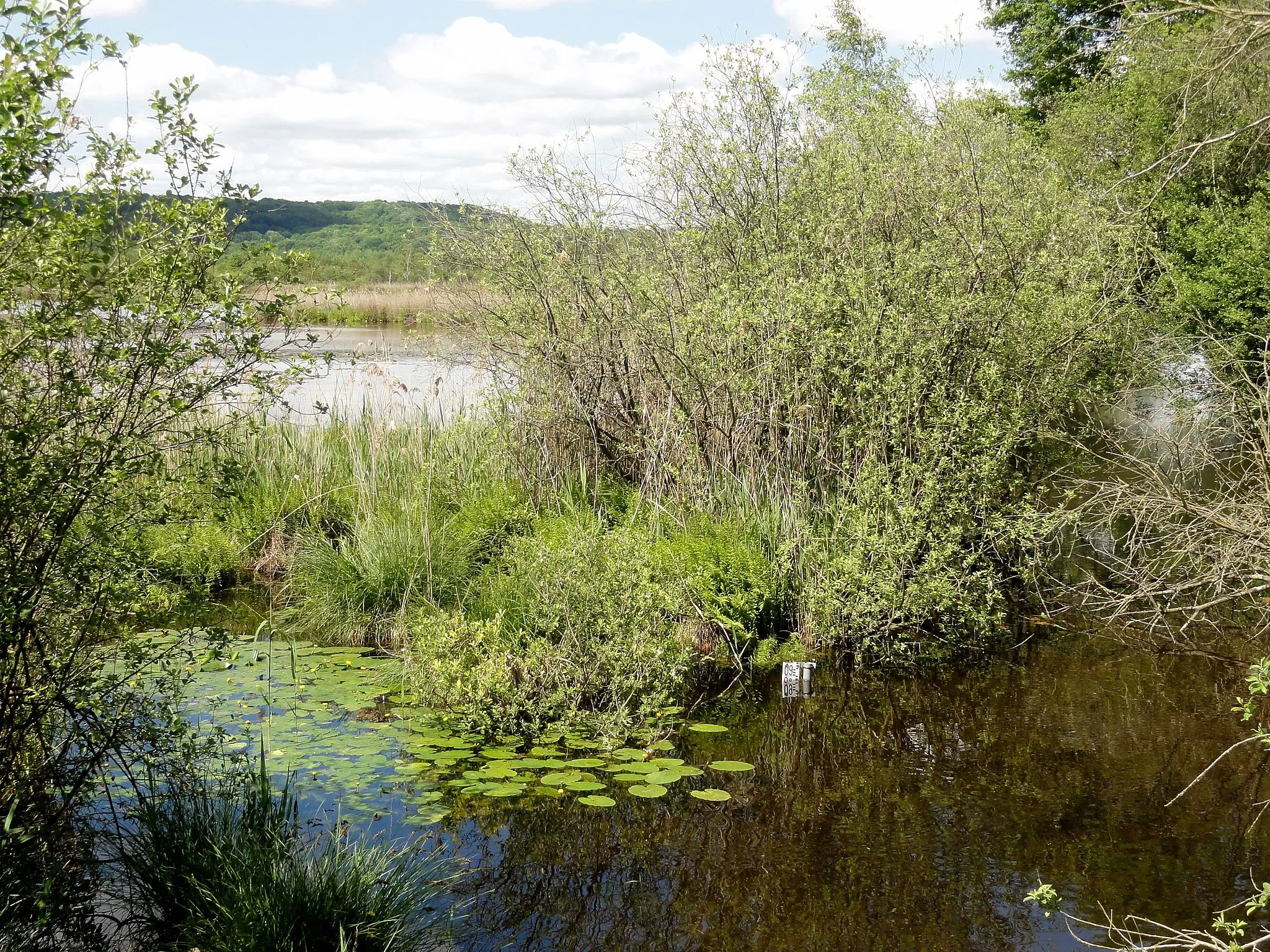
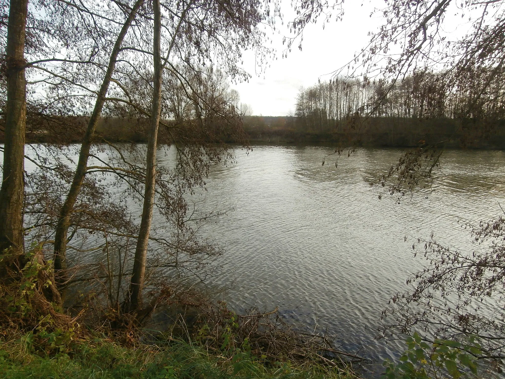
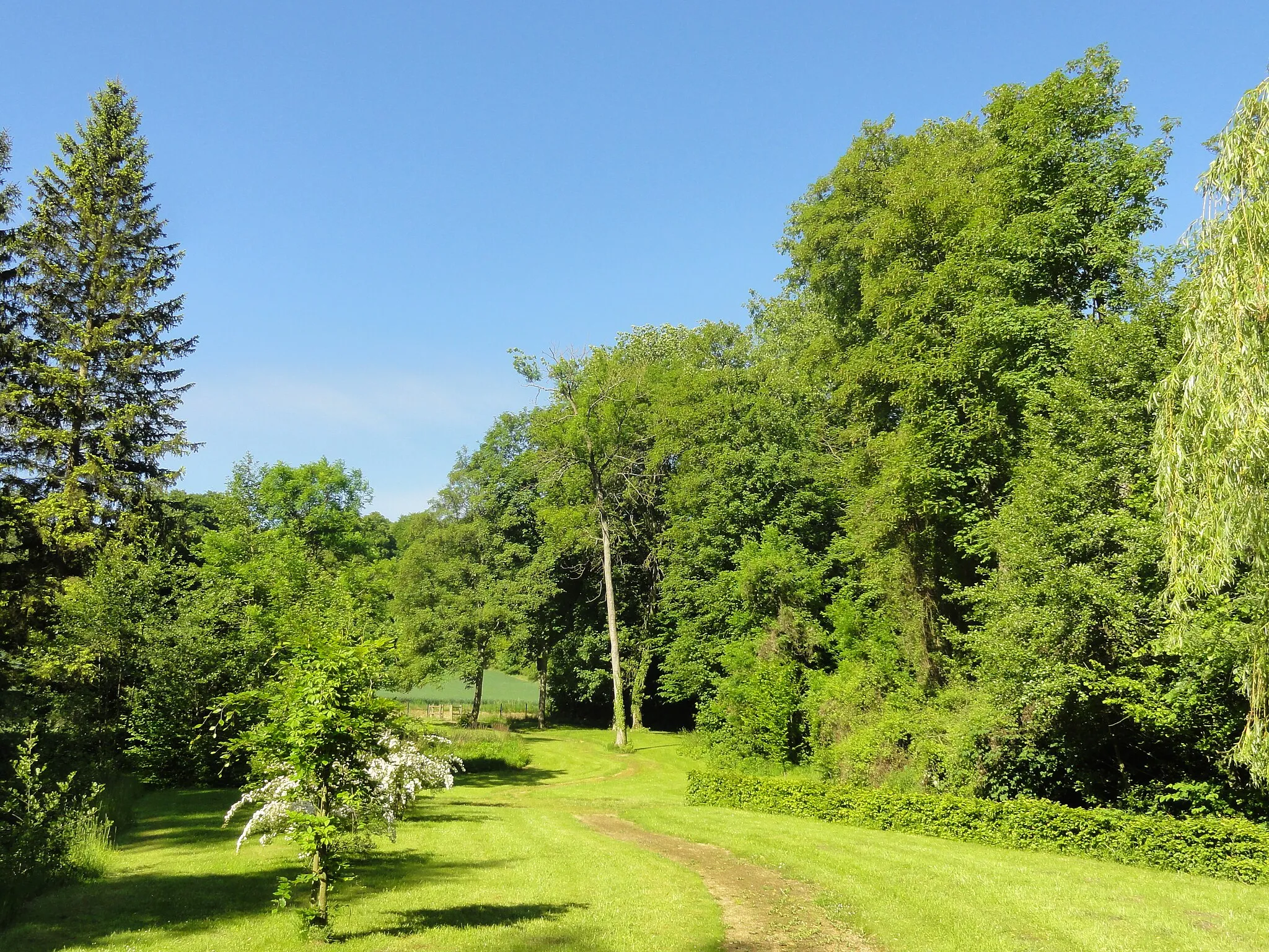
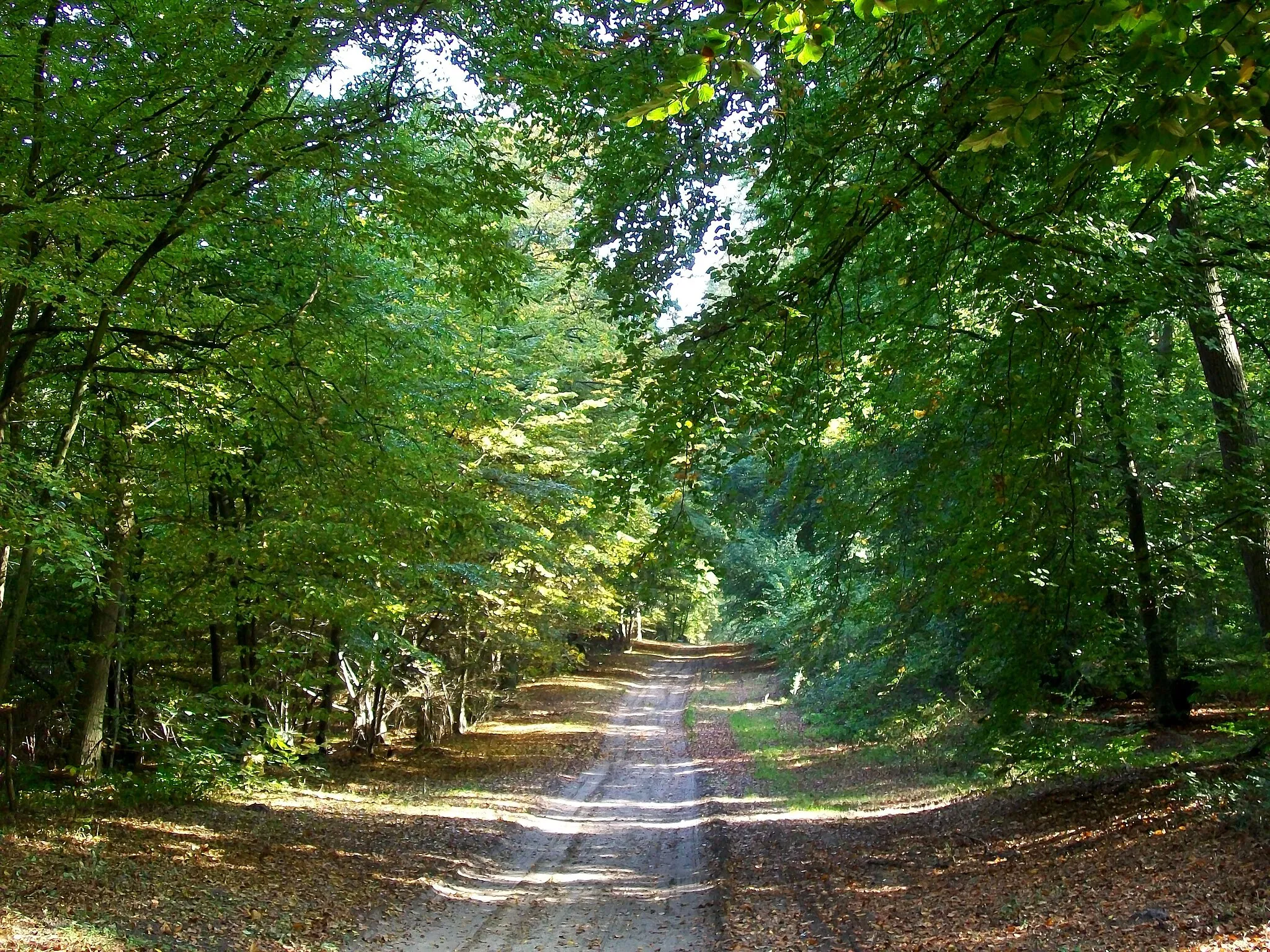
Brenouille, located in Picardie, France, is a haven for road and gravel cyclists seeking diverse riding experiences. The region boasts a mix of flat plains and rolling hills, providing a range of terrains for all skill levels. Cyclists can explore charming villages, lush farmland, and picturesque riverside paths while enjoying the tranquility of the area. Brenouille is situated near the Chantilly Forest, a popular destination for cyclists looking for off-road adventures. With its varied terrain and proximity to nature, Brenouille offers a delightful cycling experience for riders of all abilities.
A scenic road route exploring nearby villages
Take a leisurely road ride through the picturesque villages near Brenouille. This route covers a distance of 38 kilometers and features a total ascent of 262 meters. Enjoy the scenic beauty of the French countryside and discover the charm of these local gems.
Bucolic Gravel Escapade
A bucolic gravel route highlighting natural beauty
Embark on a bucolic gravel escapade that showcases the beauty of nature near Brenouille. This route covers a distance of 48 kilometers and features a total ascent of 226 meters. Immerse yourself in peaceful countryside landscapes and enjoy the tranquility of the surroundings.
A scenic gravel route with historical highlights
This gravel route near Brenouille offers a scenic ride through picturesque countryside. Along the way, you'll encounter several historical highlights that add charm to your journey. The route features a total ascent of 318 meters and covers a distance of 53 kilometers.
Explore the charming villages and natural beauty of Oise region
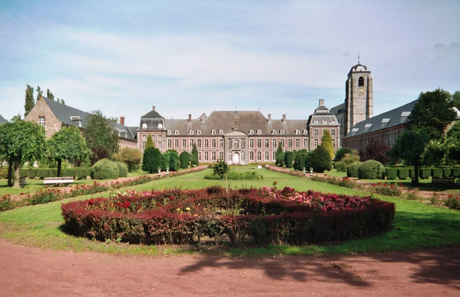
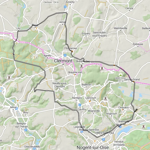
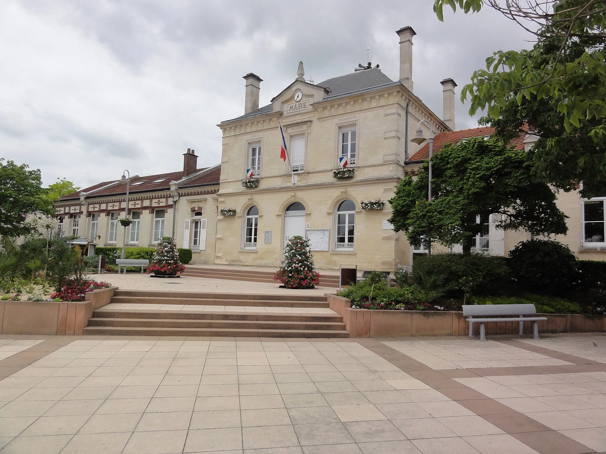
Experience the rural charm and natural beauty of the Oise region with this road route starting from Brenouille. With a distance of 63 km and an ascent of 423 m, the route offers a moderate challenge suitable for cyclists with some experience. The highlights include Monchy-Saint-Éloi, a picturesque village surrounded by lush green fields, Mont César, a mesmerizing hill with panoramic views of the surrounding landscape, and Sacy-le-Grand, a charming village located along the beautiful Oise River. The overall difficulty of the route is rated 3 out of 5, suitable for amateur cyclists. Its epicness is rated 2 out of 5, offering a pleasant ride with scenic highlights.

Cycle through picturesque villages and historic sites
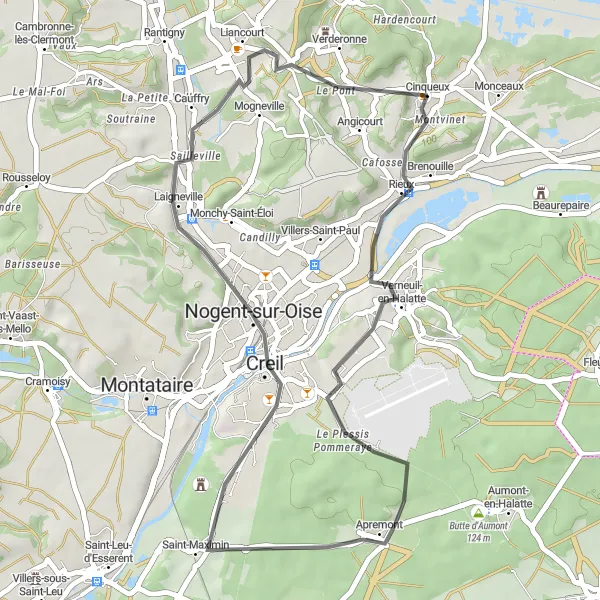
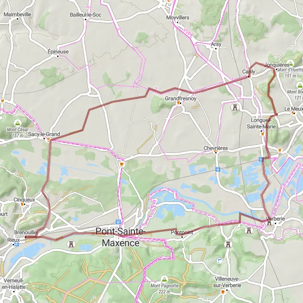
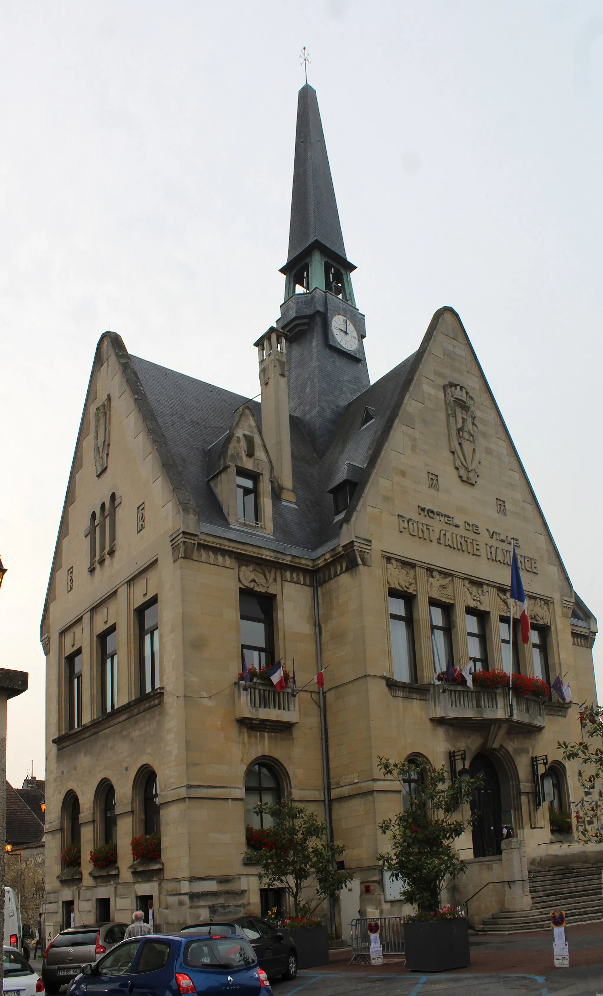
This gravel route takes you through the beautiful countryside near Brenouille, passing by quaint villages, historic landmarks, and stunning landscapes. With a distance of 67 km and an ascent of 329 m, it offers a moderate challenge for cyclists. The route highlights include Cinqueux, a charming village known for its preserved architecture, Senlis, a historic town with medieval streets and a Gothic cathedral, and Creil, a city with a rich industrial heritage. The overall difficulty of the route is rated 3 out of 5, suitable for amateur cyclists with some experience. Its epicness is rated 2 out of 5, offering a pleasant ride with interesting highlights but without any legendary climbs or famous spots.

Cycle through the pastoral beauty of Picardie countryside
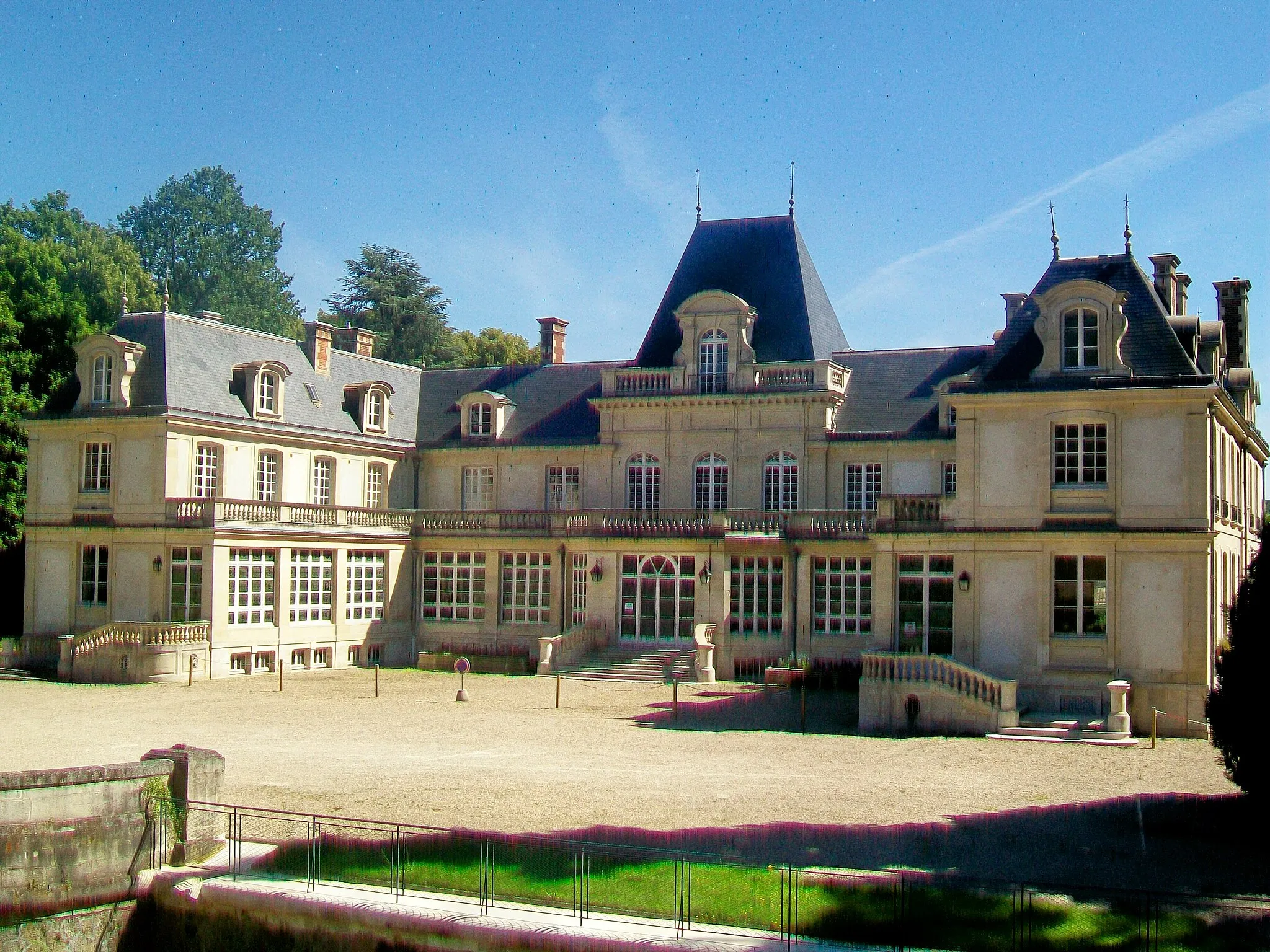
Embark on a beautiful road journey from Brenouille to Les Ageux, exploring the pastoral landscapes and charming villages of Picardie. With a distance of 139 km and an ascent of 899 m, the route offers a challenging ride suitable for experienced cyclists. The highlights include Saint-Martin-Longueau, a village known for its beautiful church and historic charm, Saint-Jean-aux-Bois, a picturesque village surrounded by lush forests, and Château d'Oigny-en-Valois, a magnificent castle with a fascinating history. The overall difficulty of the route is rated 4 out of 5, requiring good physical fitness and cycling skills. Its epicness is rated 4 out of 5, offering a memorable cycling experience through the picturesque Picardie countryside.

Discover the scenic beauty and rural charm near Brenouille
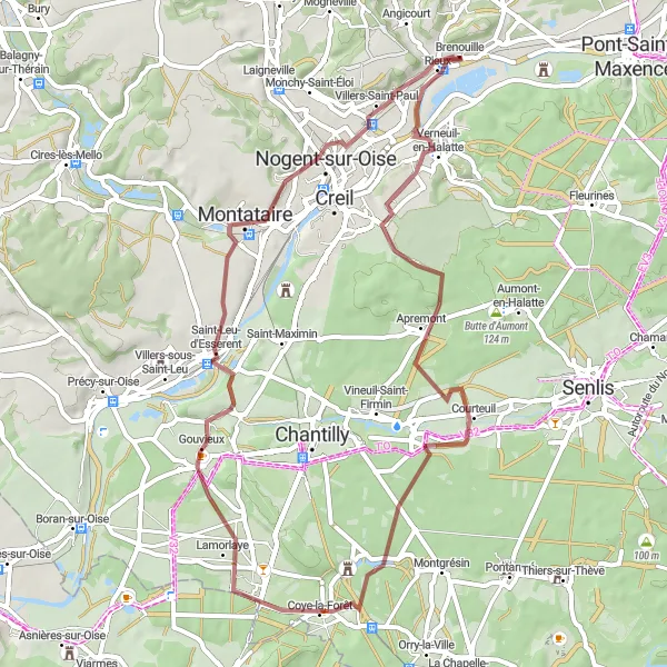
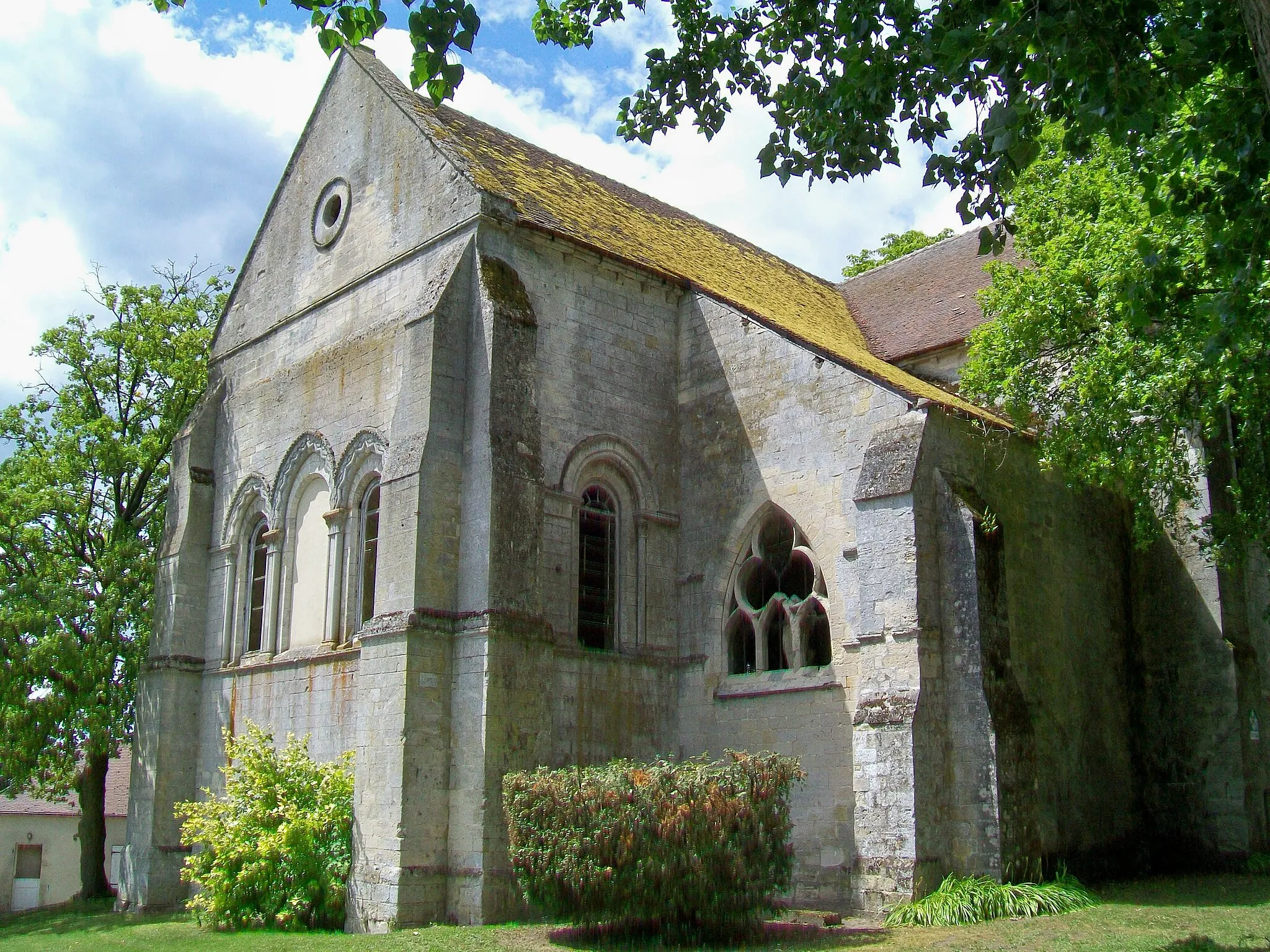
Explore the scenic landscapes and rural charm near Brenouille with this gravel route. With a distance of 55 km and an ascent of 443 m, the route offers a moderate challenge suitable for intermediate-level cyclists. The highlights include Montataire, a town known for its historic industrial heritage and natural beauty, Ully-Saint-Georges, a small village with a tranquil countryside setting, and Balagny-sur-Thérain, a picturesque village with traditional houses and charming streets. The overall difficulty of the route is rated 3 out of 5, suitable for cyclists with some experience. Its epicness is rated 2 out of 5, offering a pleasant ride with scenic highlights.
Experience the diverse landscapes and cultural heritage of Picardie
This road route starting from Brenouille takes you on a scenic journey through the diverse landscapes of Picardie. With a distance of 135 km and an ascent of 727 m, it offers a challenging ride suitable for well-trained amateur cyclists. The route highlights include Le Mont Béthizay, a historical site with ancient monuments and panoramic views, Lizy-sur-Ourcq, a charming town located along the Ourcq River, and Ver-sur-Launette, a picturesque village with a beautiful church. The overall difficulty of the route is rated 4 out of 5, requiring good physical endurance and cycling skills. Its epicness is rated 3 out of 5, offering a rewarding cycling experience with scenic views and cultural attractions.
Countryside Road Adventure

A challenging road route through charming countryside villages
Embark on a challenging road adventure that takes you through the charming countryside near Brenouille. This route covers a distance of 93 kilometers and features a total ascent of 522 meters. Along the way, you'll pass through picturesque villages and enjoy stunning views of the surrounding landscapes.

An adventurous gravel loop with breathtaking views
Get ready for an adventurous gravel loop that takes you through scenic landscapes near Brenouille. This route covers a distance of 70 kilometers and features a total ascent of 567 meters. Prepare to be amazed by breathtaking views and immerse yourself in the beauty of nature.
Cycling routes nearby:
Nearby regions: