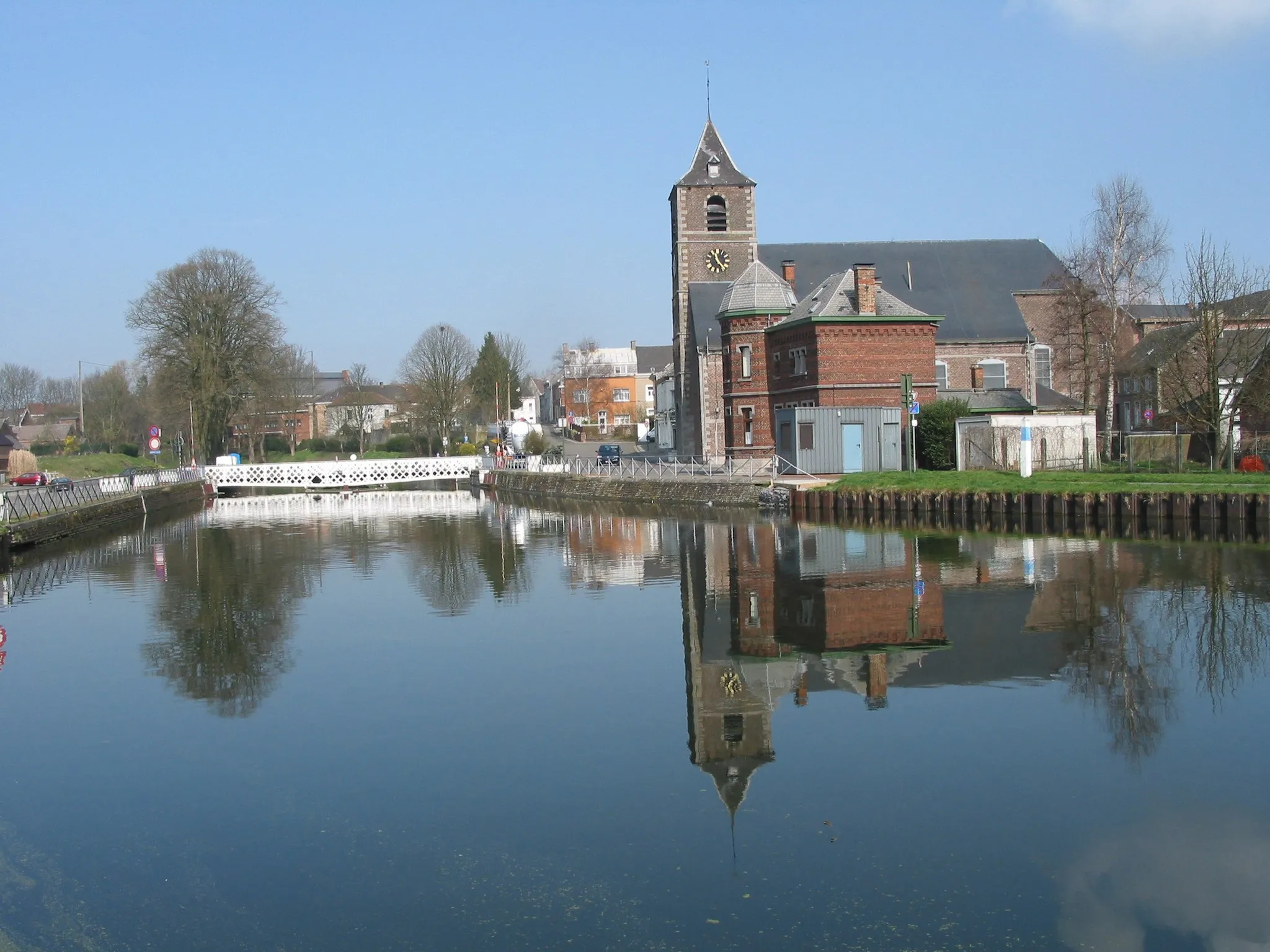
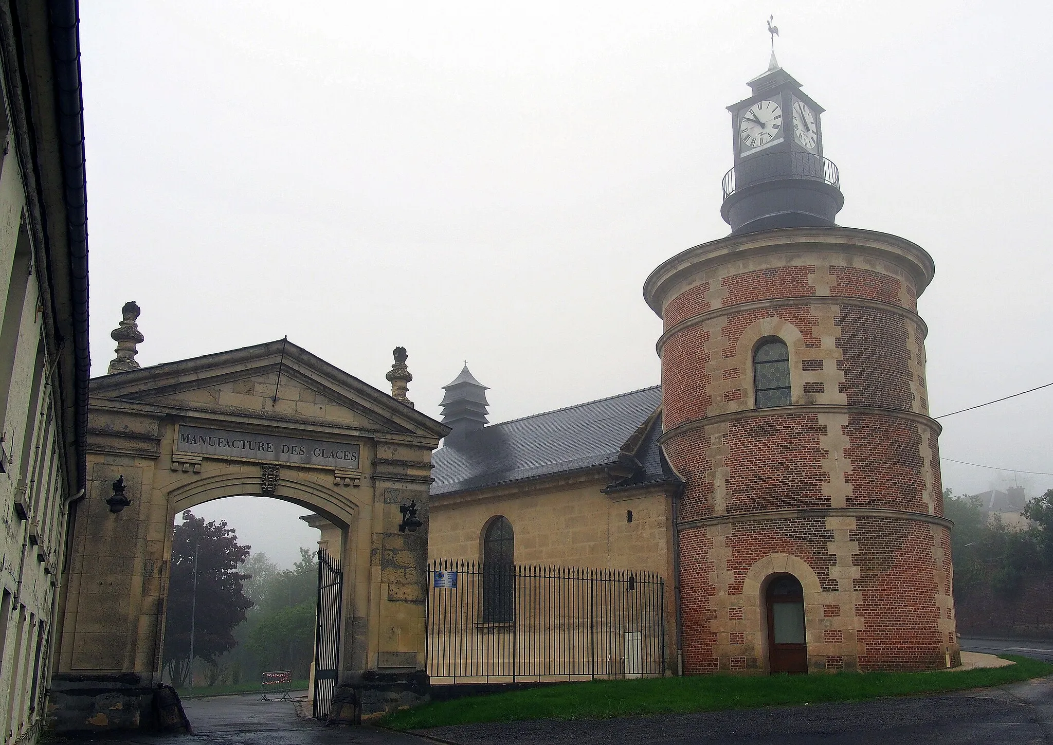
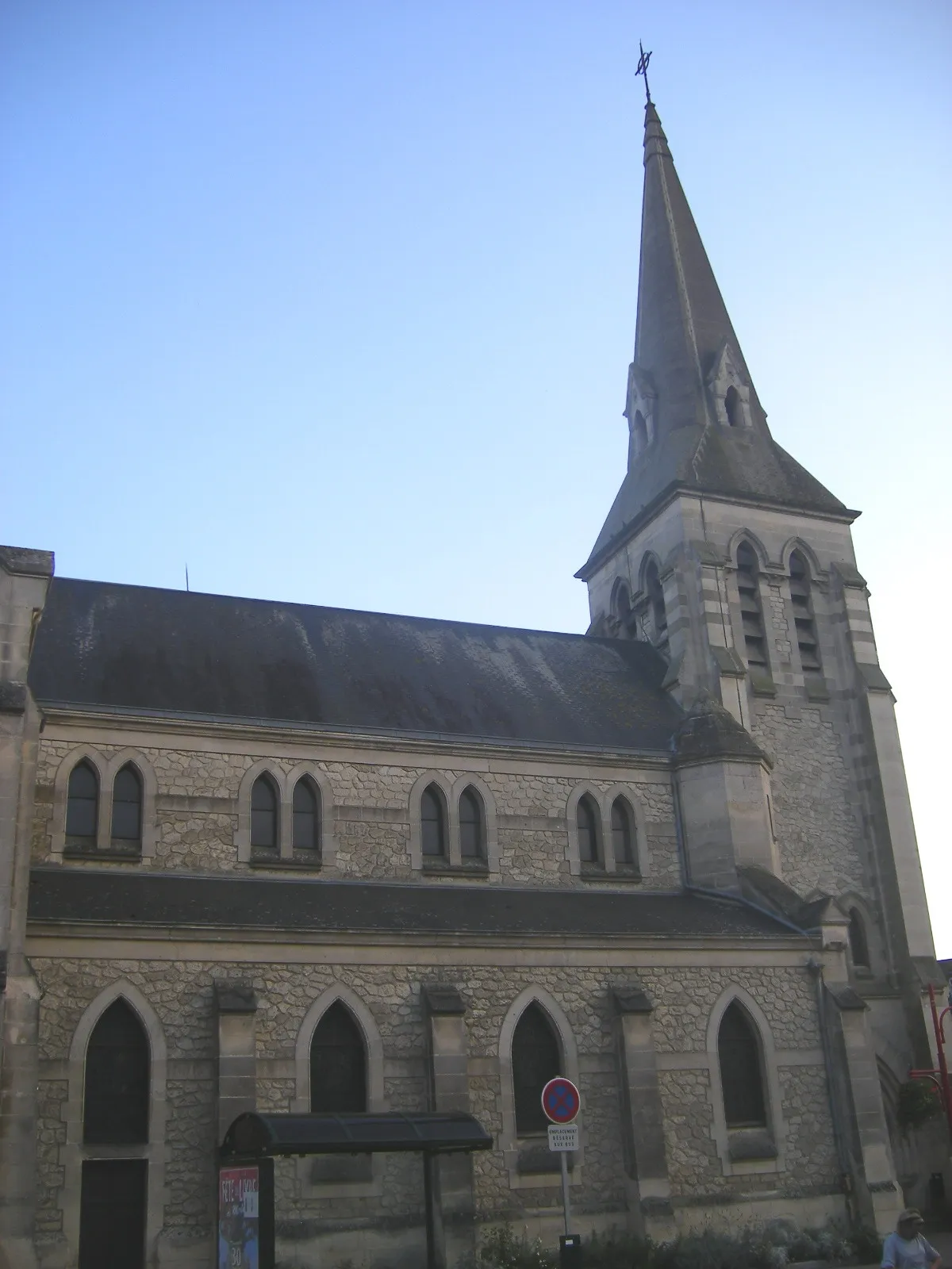
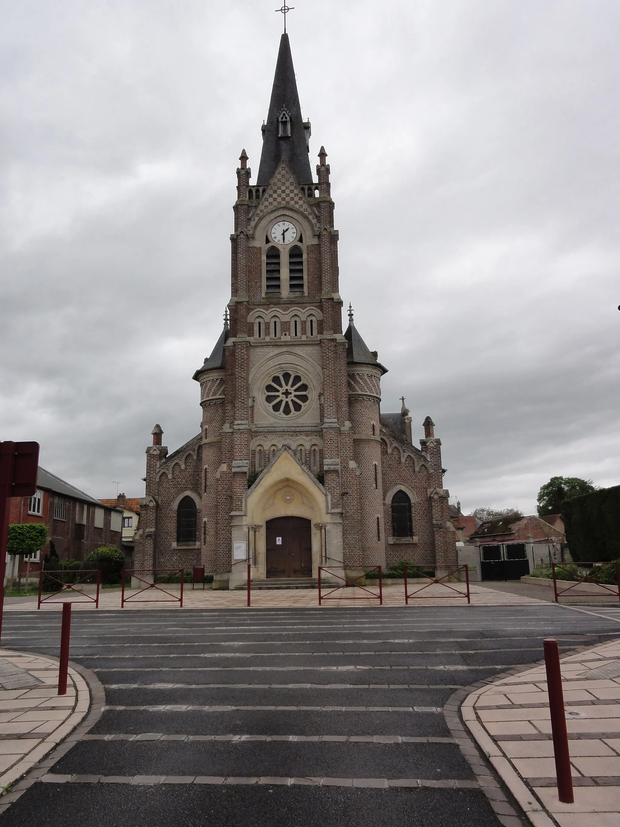
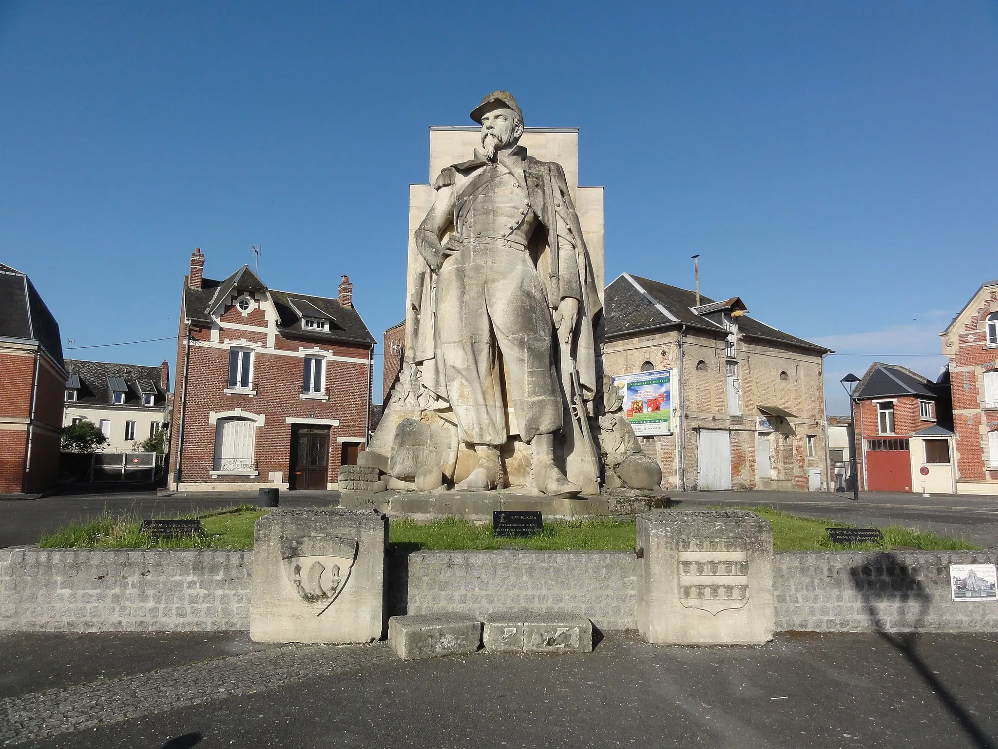
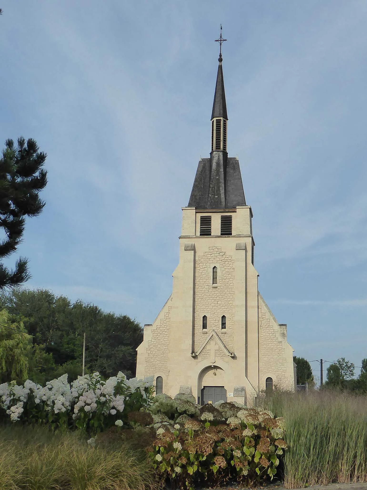
Uncover the scenic beauty and historical treasures of Crépy.
Cycling routes from Crepy
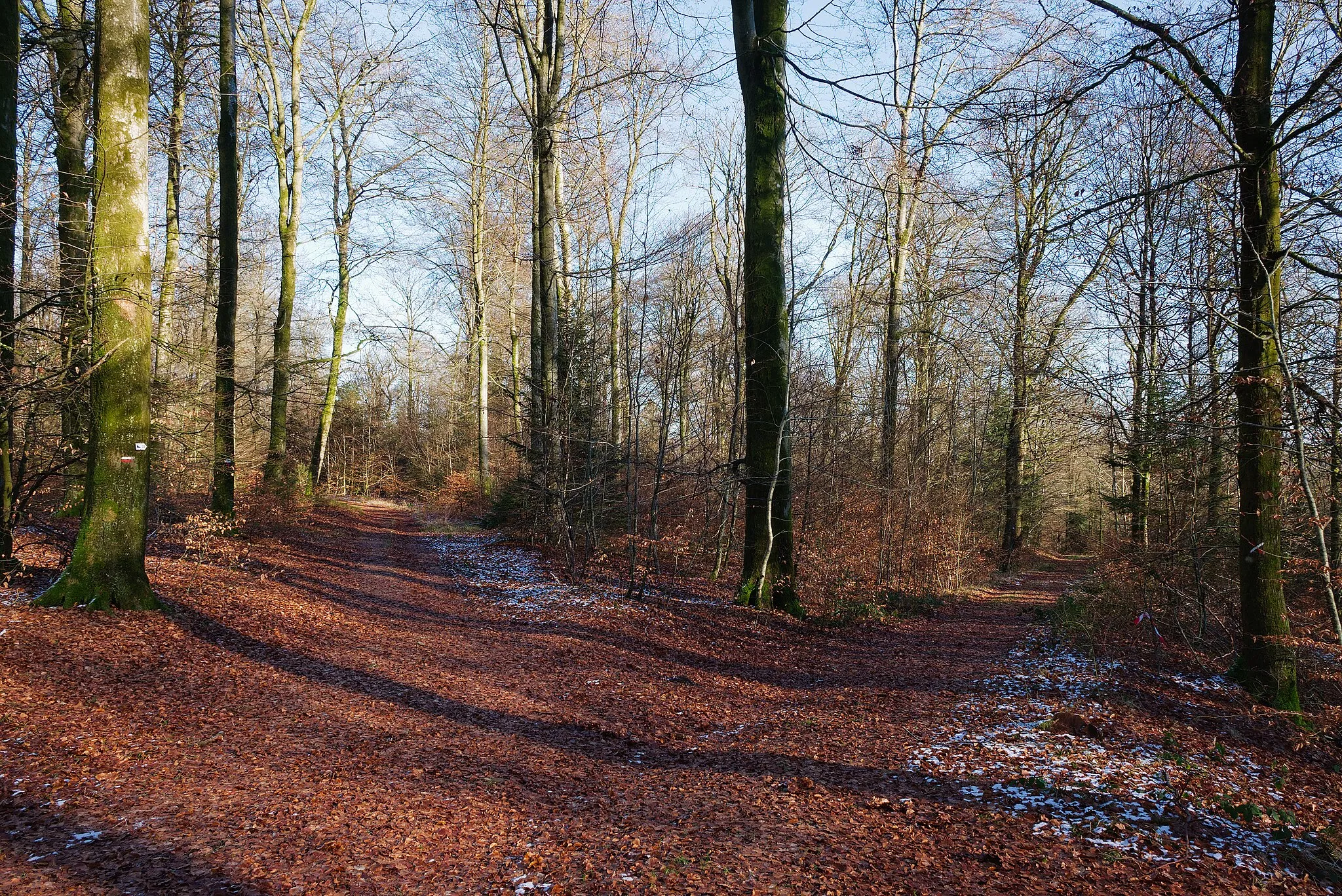
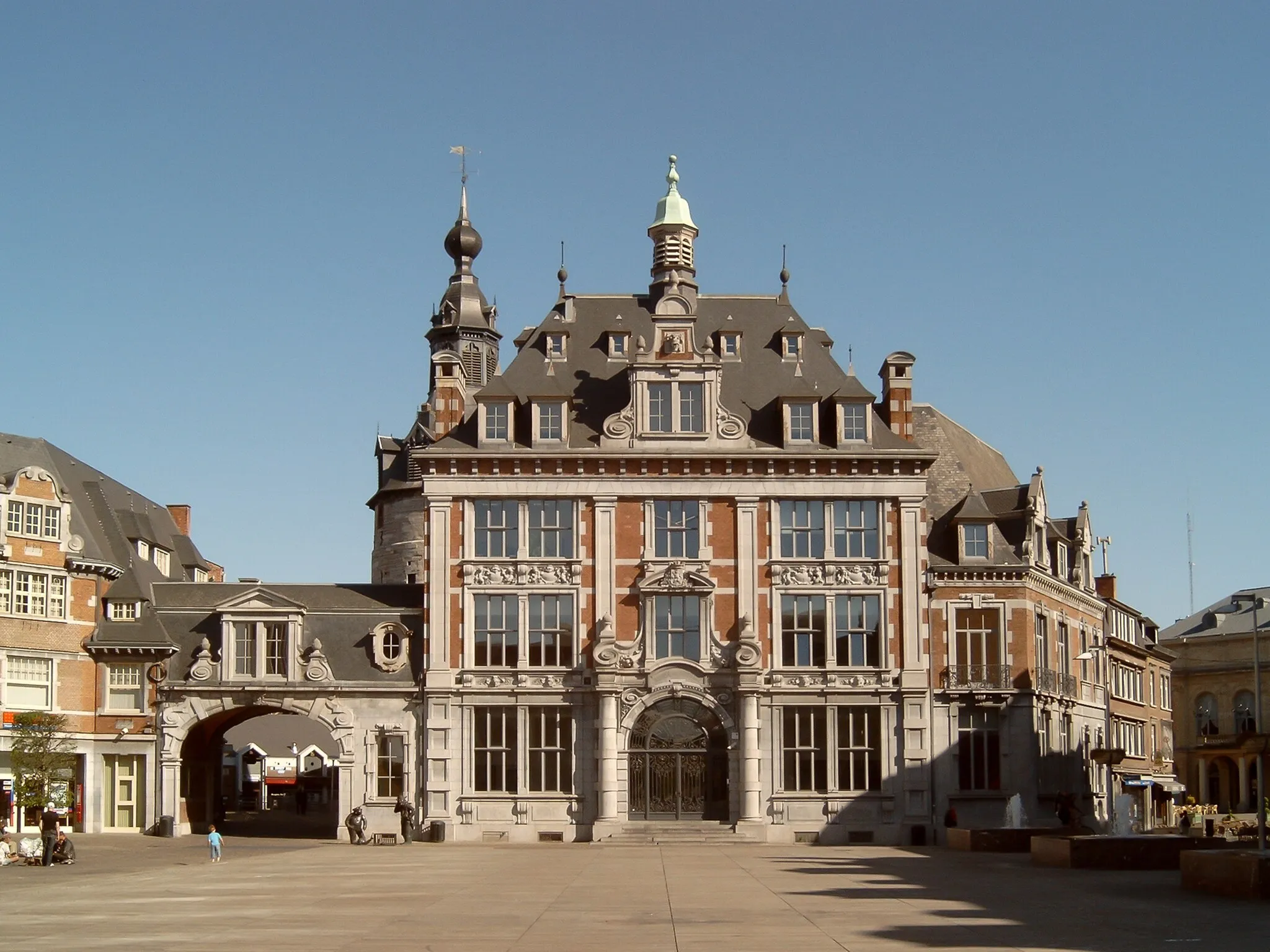
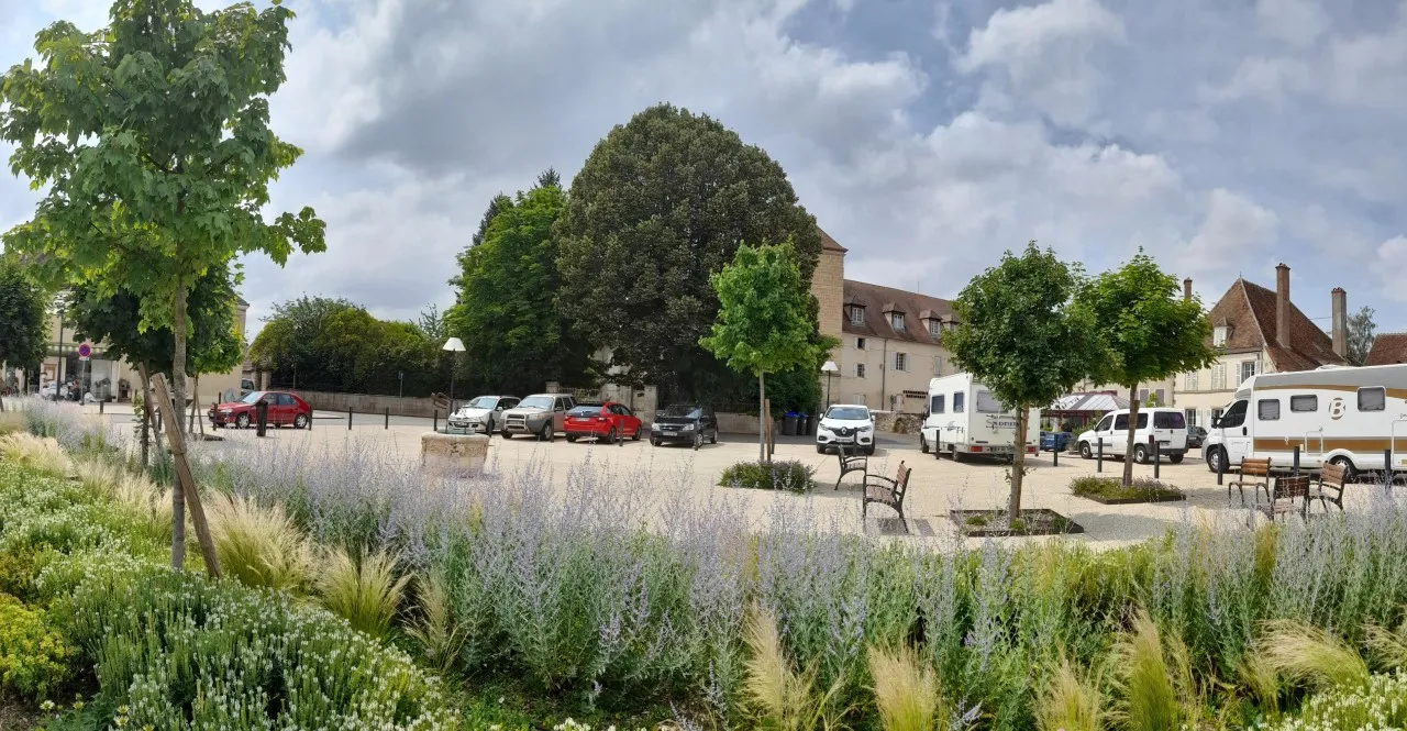
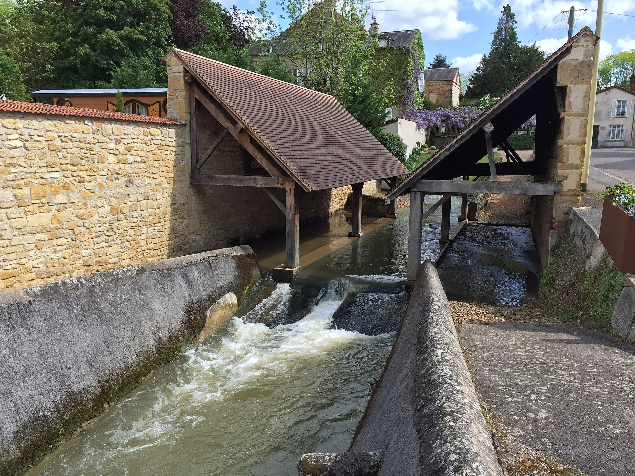
Crépy, situated in Picardie, France, offers a variety of cycling options for road and gravel enthusiasts. The locality features scenic routes through picturesque landscapes, showcasing charming villages and rolling hills. Cyclists can immerse themselves in the region's rich history and culture, with attractions like the Château de Coucy located nearby. Crépy provides a great cycling experience with its peaceful atmosphere and exploration opportunities.
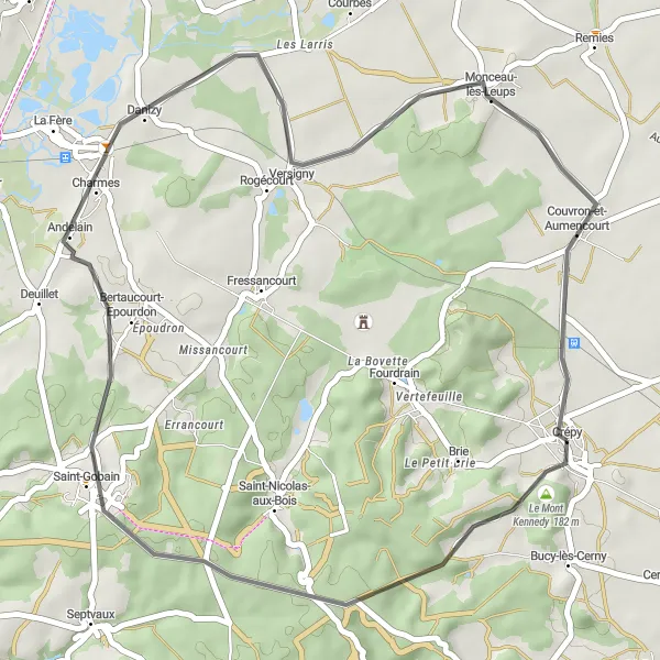
Embark on a 40km road cycling route highlighting the beauty of the Crépy countryside
Experience the beauty of the Crépy countryside on this 40km road cycling route, offering a moderate ascent of 339m. Discover the charming village of Andelain and take in the scenic landscapes around Monceau-lès-Leups. Don't miss the opportunity to capture the breathtaking views from Le Mont Kennedy along the way.
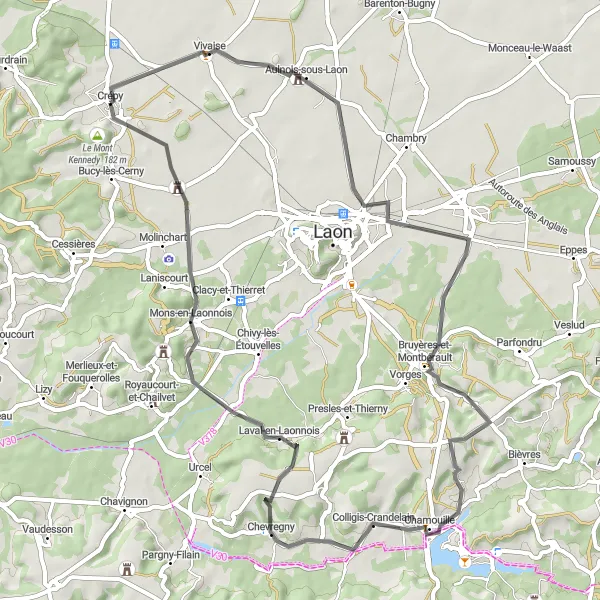
Explore the charming Laonnois region by road bike
Immerse yourself in the beauty of the Laonnois region with this 58-kilometer road cycling route starting from Crépy. With a total ascent of 380 meters, this route offers a moderate challenge for cyclists. Enjoy the rolling roads and scenic landscapes as you venture through the countryside. The highlight of this route is the iconic Le Mont Kennedy, offering breathtaking views at the 57-kilometer mark. Other notable highlights include Vivaise at 4 kilometers, Chérêt at 24 kilometers, Laval-en-Laonnois at 42 kilometers, and Mons-en-Laonnois at 49 kilometers.
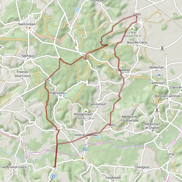
A thrilling gravel journey to Anizy-le-Château
Embark on an exciting gravel adventure from Crépy to Anizy-le-Château. With a distance of 43 kilometers and an ascent of 501 meters, this route offers a mix of challenging climbs and exhilarating descents. The highlight of this route is Le Mont Kennedy, offering a breathtaking viewpoint at the start of the ride. Other notable highlights include Cessières at 6 kilometers, Anizy-le-Château at 15 kilometers, Brancourt-en-Laonnois at 23 kilometers, and Crépy, marking the end of the journey at 43 kilometers.
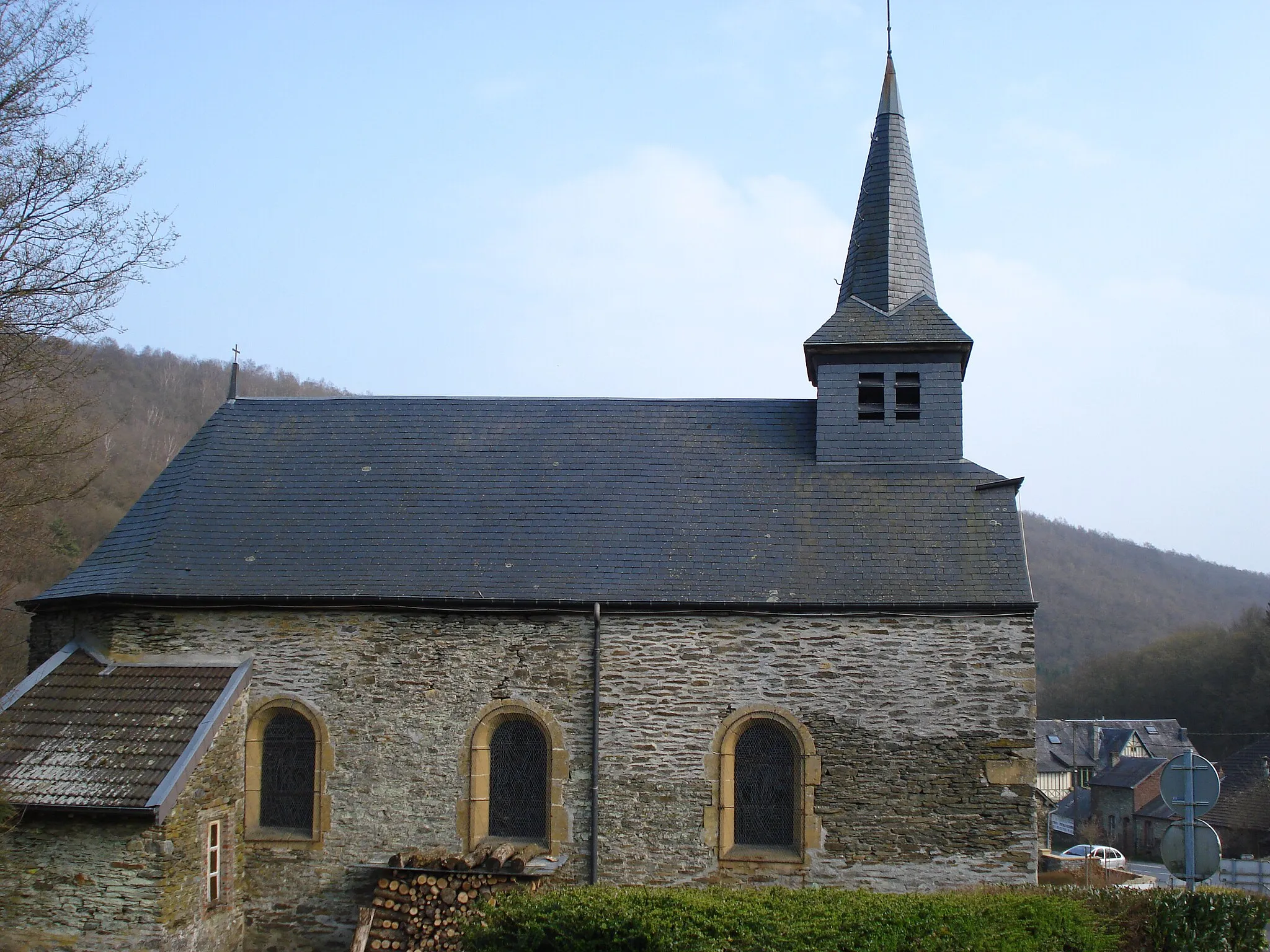
The Tilted Tour
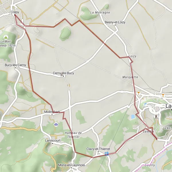
Discover the enchanting Tour penchée on this 25km gravel route
Experience the beauty of Crépy and its surroundings with this 25km gravel route, featuring the iconic Tour penchée. The route offers a moderate ascent of 102m, suitable for amateur cyclists. Explore the rustic charm of Molinchart village and enjoy the breathtaking views from Le Mont Kennedy along the way.
Laon and Beyond
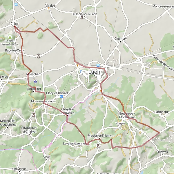
Embark on a 47km gravel ride to explore historic Laon and Presles-et-Thierny
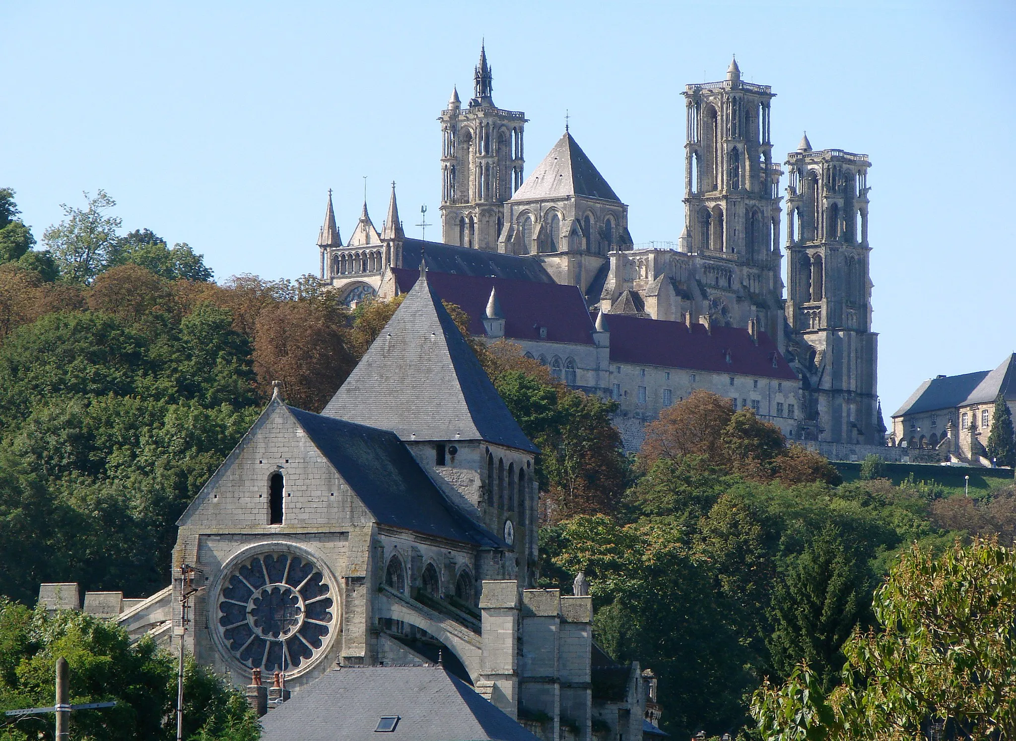
This 47km gravel route presents a moderate challenge with an ascent of 296m, making it suitable for experienced cyclists. Discover the medieval city of Laon and its impressive Cathedral, as well as the charming village of Presles-et-Thierny. Don't miss the opportunity to capture the magnificent views from Le Mont Kennedy along the way.
Picardie Adventure
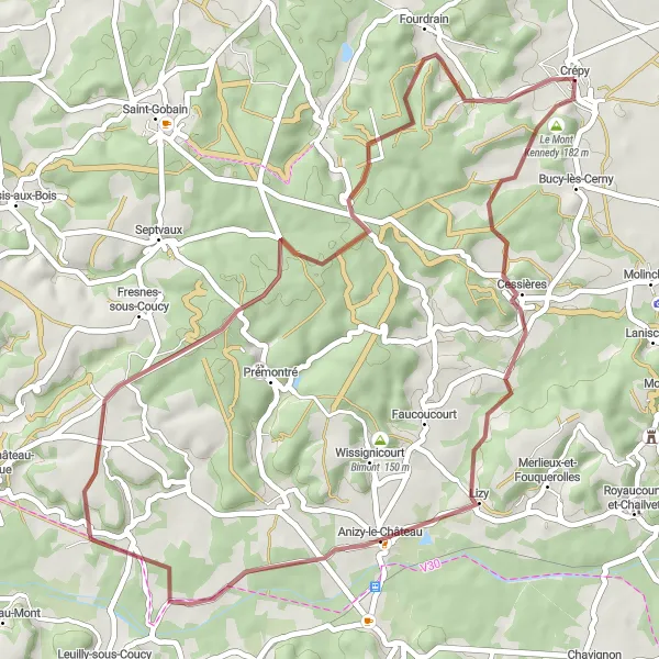
Embark on a 45km gravel journey to discover hidden gems like Lizy and Jumencourt
Embark on this adventurous 45km gravel route, offering a challenging ascent of 494m. Explore lesser-known towns and villages such as Lizy, renowned for its cultural heritage, and Jumencourt, boasting its unique charm. Be sure to capture the incredible landscapes from Le Mont Kennedy along the way.
Crépy to Vivaise Loop
An exhilarating road cycling route from Crépy to Vivaise
This scenic cycling route takes you through the picturesque countryside of Picardie, France. Starting from Crépy, you will ride along rolling roads and enjoy breathtaking views. With a total distance of 91 kilometers and an ascent of 552 meters, this route is suitable for well-trained amateurs. The highlight of this route is the charming village of Fressancourt, located at the 7-kilometer mark. Other notable highlights include Mézières-sur-Oise at 28 kilometers, Bernot at 42 kilometers, Monceau-le-Neuf-et-Faucouzy at 65 kilometers, Pouilly-sur-Serre at 78 kilometers, and Vivaise at 86 kilometers.
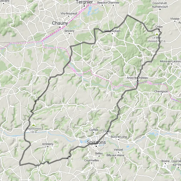
Embark on a scenic 116km road cycling route connecting picturesque villages and Le Mont Kennedy
Discover the essence of Picardie on this epic 116km road cycling route, featuring an intense ascent of 985m. Traverse charming villages such as Vassens, Trosly-Loire, and Mercin-et-Vaux, with their beautiful traditional architecture. Capture the stunning views from Le Mont Kennedy throughout the journey, offering panoramic vistas of the region's rolling hills and landscapes.
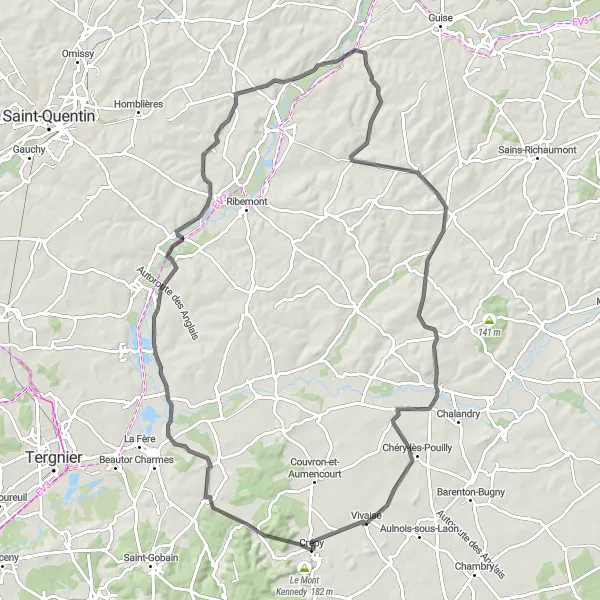
Gravel Adventure to Rogécourt

Discover the beauty of Picardie on a gravel bike
This adventurous gravel cycling route takes you on a thrilling journey from Crépy to Rogécourt. With a distance of 61 kilometers and an ascent of 405 meters, this route offers a mix of challenging terrain and picturesque landscapes. The highlight of this route is Le Mont Kennedy, a must-visit spot for gravel enthusiasts looking for a challenging climb. Other notable highlights include Crépy at the start point, Deuillet at 19 kilometers, Mennessis at 30 kilometers, Achery at 45 kilometers, and Rogécourt at 51 kilometers.
Picardie Adventure
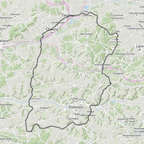
Embark on an epic road cycling journey through Picardie
Get ready for an unforgettable adventure as you cycle through the picturesque landscapes of Picardie. Starting from Crépy, this 137-kilometer route will take you to breathtaking heights with a total ascent of 1007 meters. The highlight of this route is the iconic Le Mont Kennedy, a challenging climb that offers staggering views from the top. Other notable highlights include Faucoucourt at 10 kilometers, Nanteuil-la-Fosse at 26 kilometers, Venizel at 37 kilometers, Noyant-et-Aconin at 44 kilometers, Dommiers at 55 kilometers, Château de Vic-sur-Aisne at 78 kilometers, Abbécourt at 103 kilometers, Rogécourt at 126 kilometers, and Brie at 134 kilometers.
Cycling routes nearby:

Nearby regions: