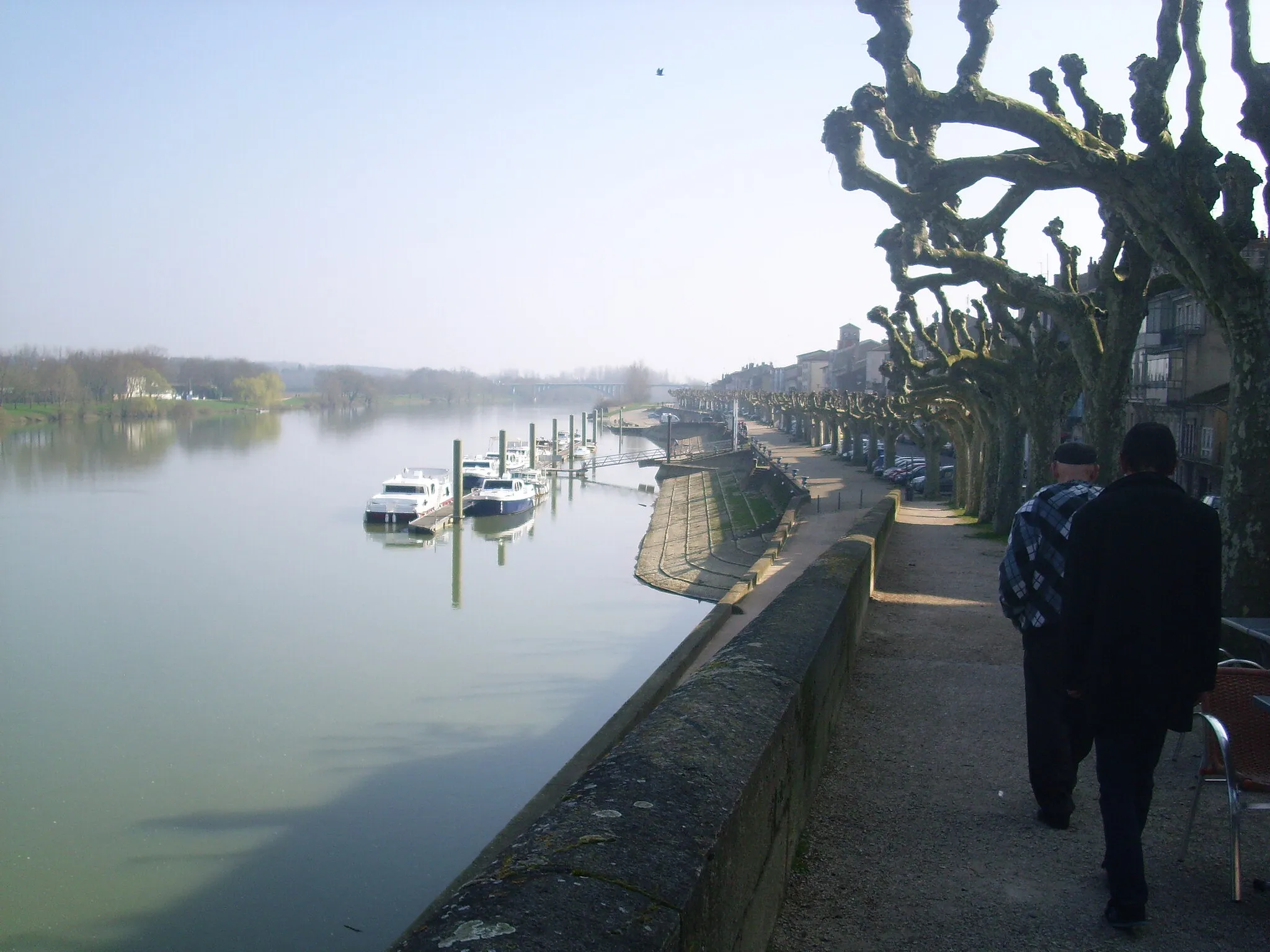
Relish the tranquility of Cuffies' countryside and meander along the canal trail.
Cycling routes from Cuffies
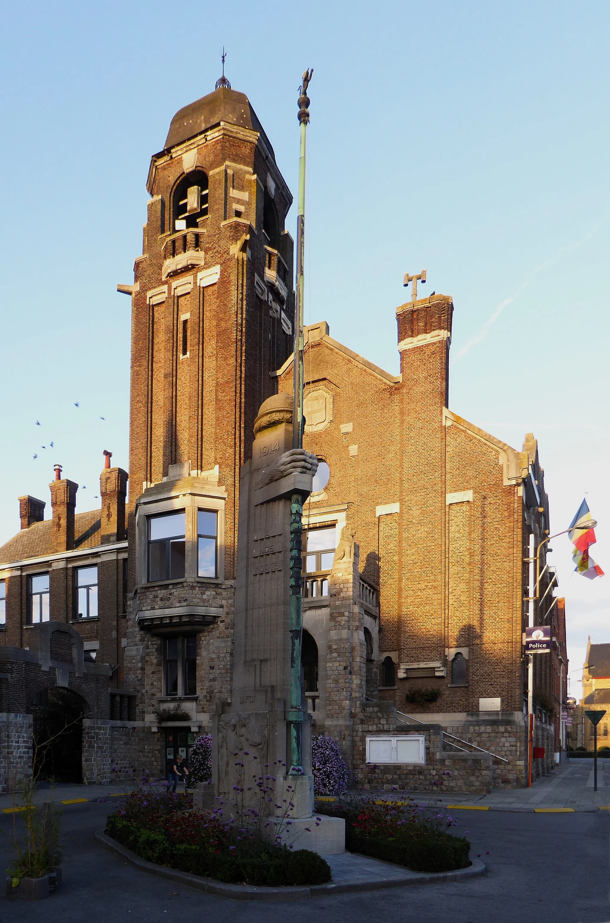
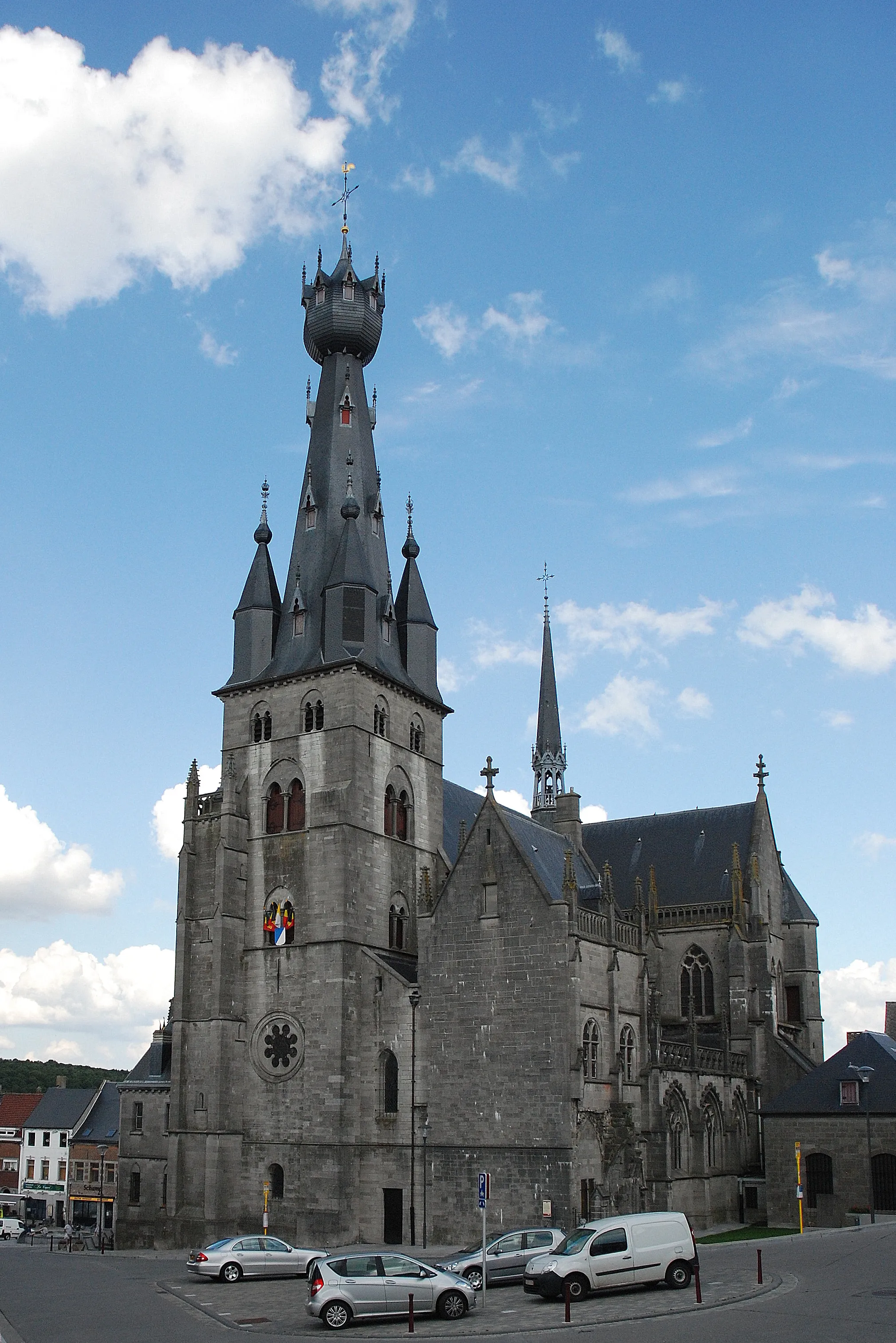
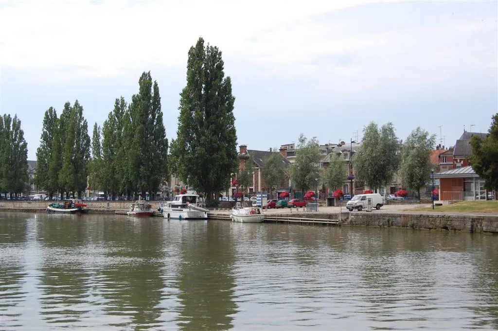
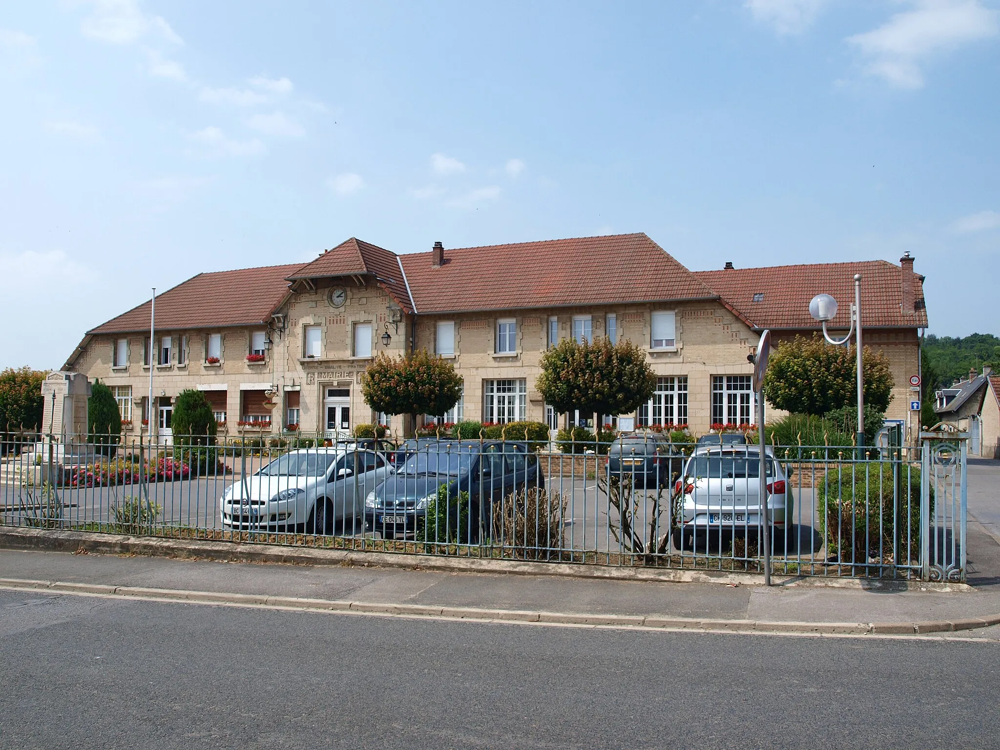
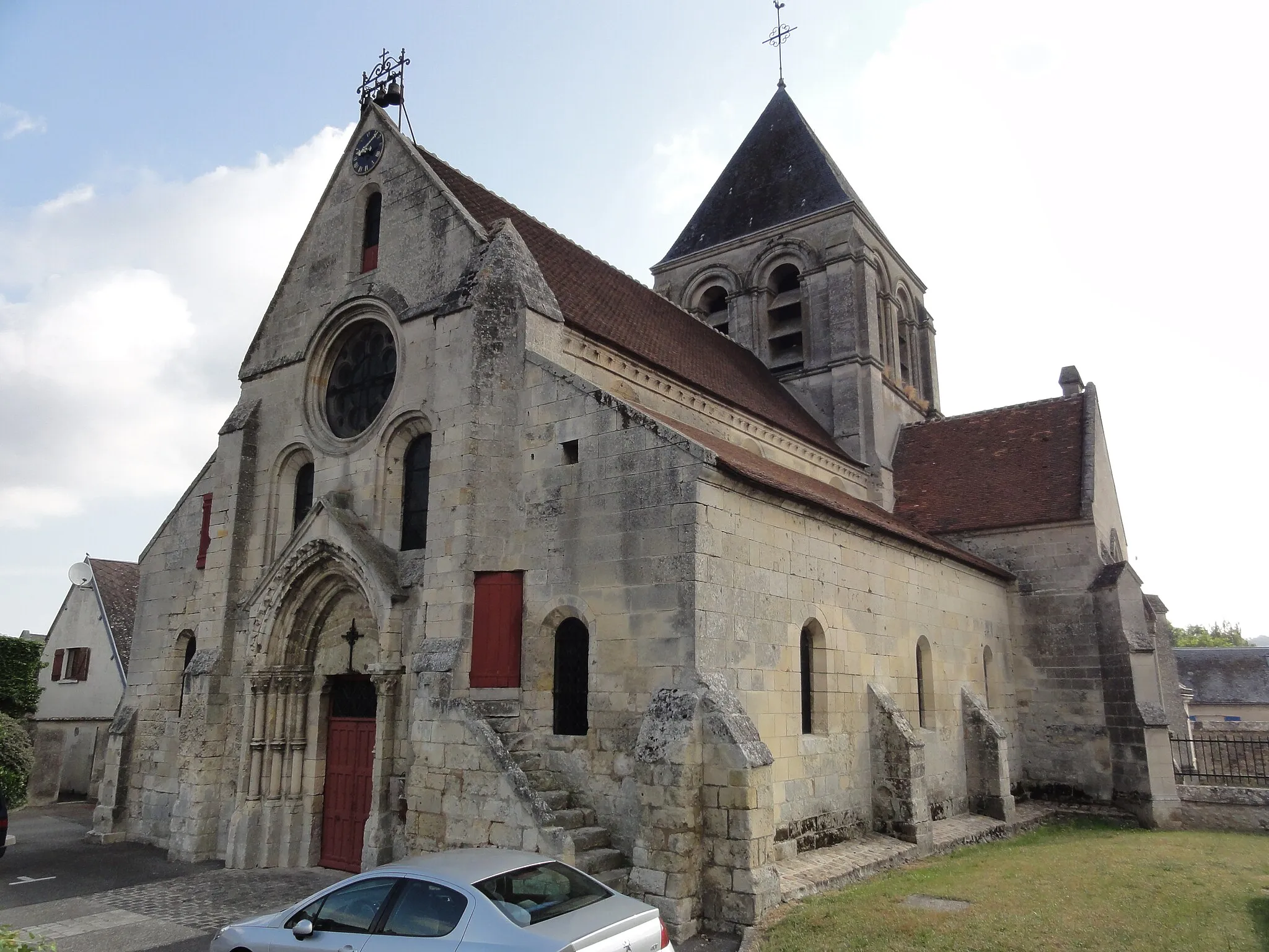
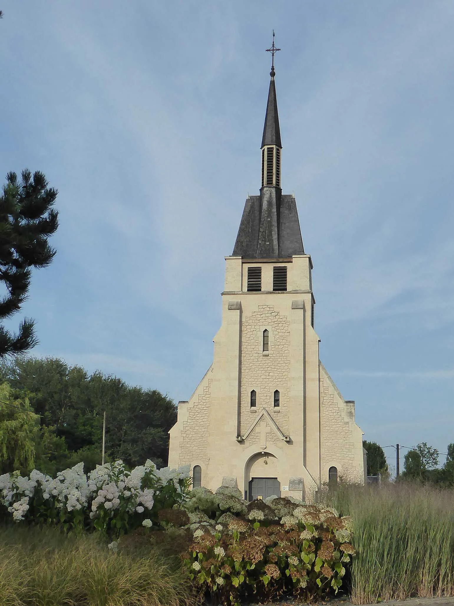
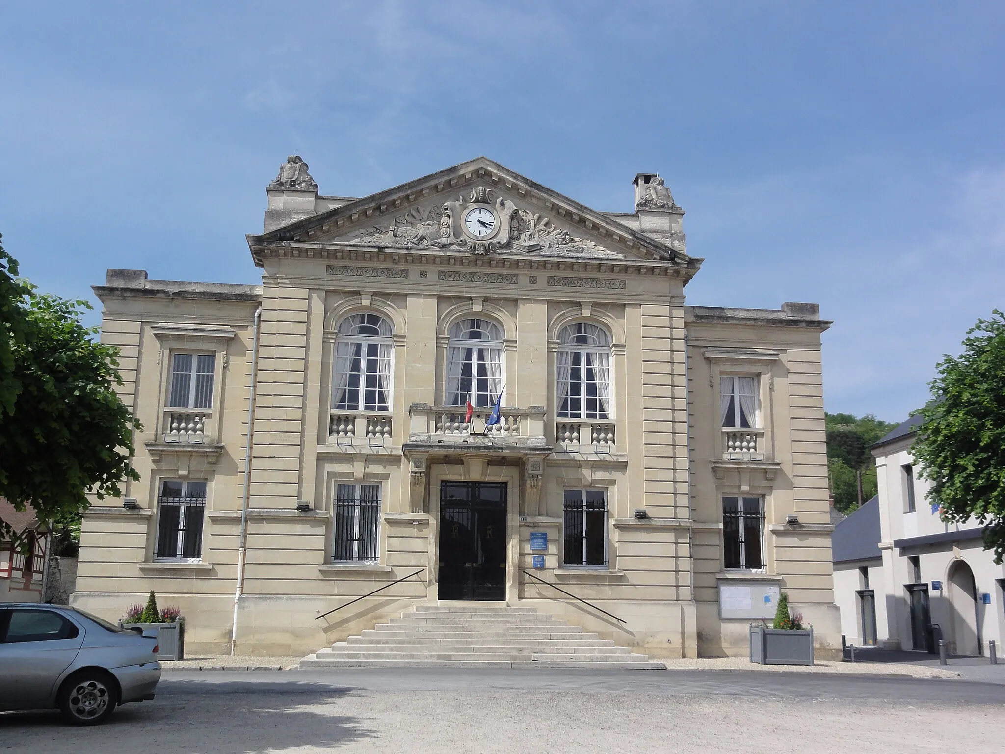
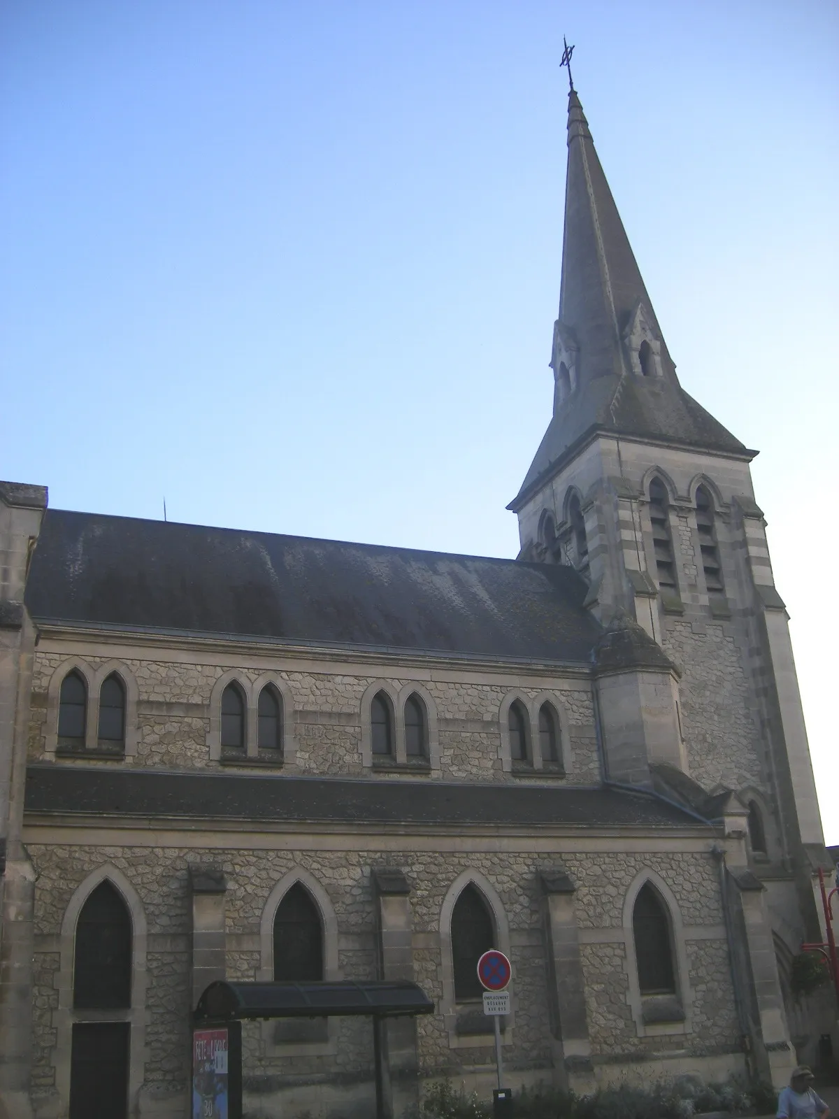
Cuffies, situated in Picardie, France, is a cyclist's haven with its peaceful roads and tranquil countryside. Surrounded by agricultural fields and charming villages, Cuffies offers scenic routes for both road and gravel cyclists. The nearby Saint-Quentin Canal Trail provides an additional path to explore, lined with picturesque views. Cuffies is a suitable destination for cyclists looking for a serene and unforgettable ride.
Bieuxy Road Route
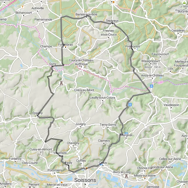
Discover the scenic beauty of Bieuxy on this exciting road route
Explore the stunning landscapes of Bieuxy on this road route starting near Cuffies. Ascend 744 meters over a distance of 70 kilometers, providing a challenge for experienced cyclists. Pass through the village of Guny, known for its charming atmosphere, and take a break in Vauxaillon to admire its historic beauty.
The Gravel Adventure
Experience the thrill of gravel biking through Mercin-et-Vaux, Chapeaumont, Saint-Christophe-à-Berry, Tartiers, and Pasly.
This round-trip cycling route is perfect for gravel biking enthusiasts. It covers a distance of 40 kilometers with an ascent of 356 meters. The route takes you through picturesque villages and offers breathtaking views of the Picardie region. It is suitable for well-trained amateurs looking for a challenging and unique cycling experience.
A thrilling gravel cycling route in Picardie
This gravel cycling route in Picardie is perfect for adventure seekers. Spanning a total distance of 89 km with an ascent of 659 meters, it offers a challenging ride for well-trained amateurs. The route features highlights such as Chaudun, Corcy, La Ferté-Milon, Villers-Cotterêts, Ressons-le-Long, and Mercin-et-Vaux. These highlights provide opportunities to explore scenic landscapes, ancient ruins, and historic towns. Overall, this route promises an exhilarating cycling experience while admiring the natural beauty and rich history of Picardie.

Challenge yourself with the Mercin-et-Vaux road route
Embark on a challenging road route near Cuffies and experience the beauty of Mercin-et-Vaux. Ascend 1041 meters over a distance of 141 kilometers, making it suitable for experienced cyclists. Explore the charming villages of Chelles and Rethondes, and reward yourself with panoramic views from Butte du Châtelet.
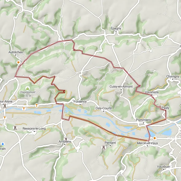
Bucy-le-Long Gravel Route
Discover the beauty of Bucy-le-Long on this scenic gravel route
This gravel route near Cuffies takes you through picturesque landscapes and highlights the charming village of Bucy-le-Long. Enjoy the smooth gravel paths as you ascend 282 meters over a distance of 48 kilometers. The route is suitable for well-trained amateurs, providing a moderate level of difficulty. Explore the ancient abbey Notre-Dame and take in the peaceful atmosphere of the surrounding countryside.
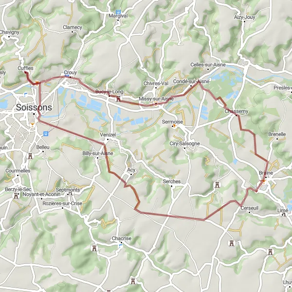
Picardie Road Cycling Route

A scenic road cycling route in Picardie
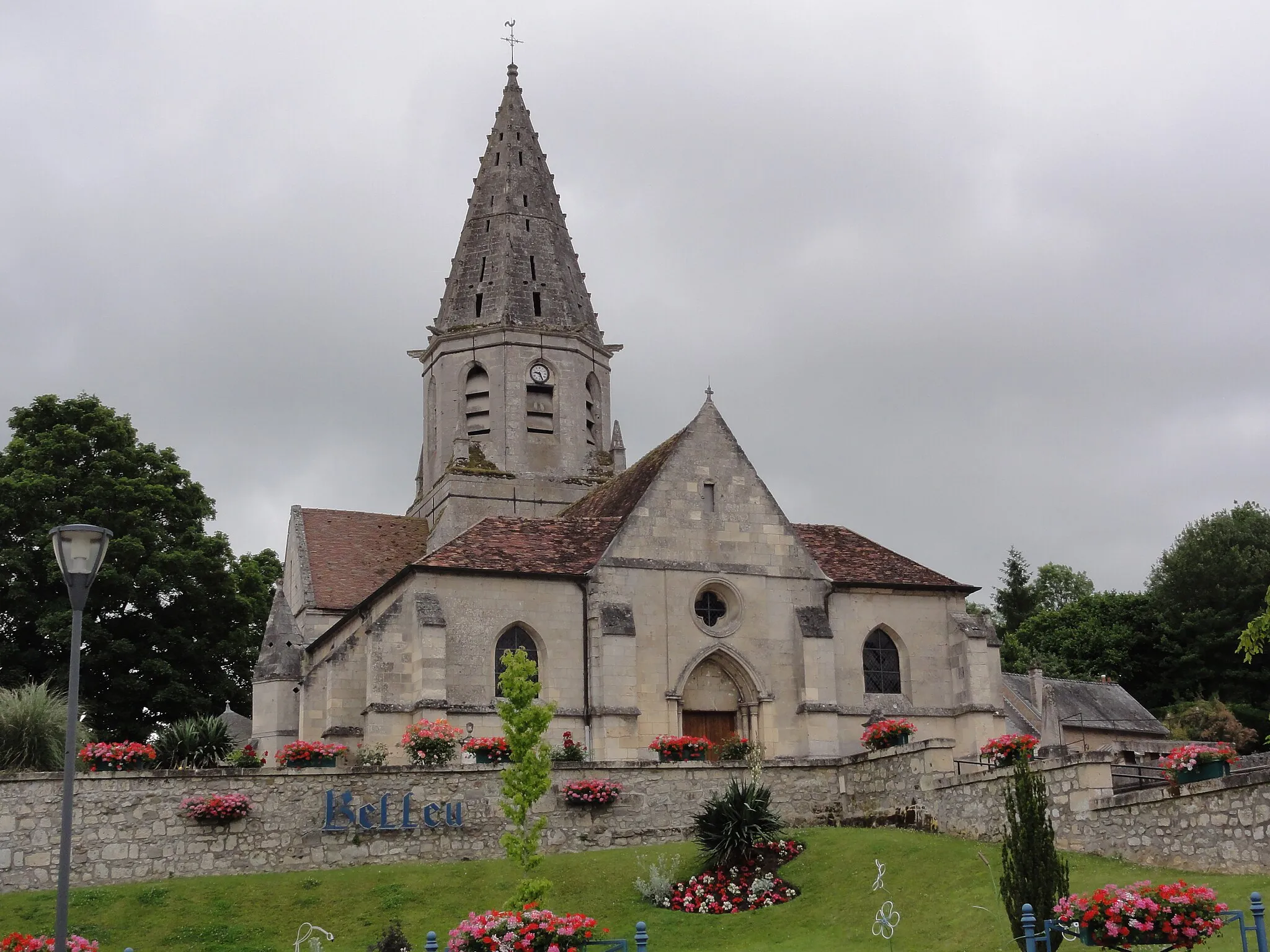
This road cycling route in Picardie takes you through beautiful countryside and picturesque towns. With a total distance of 71 km and an ascent of 611 meters, it offers a moderate challenge for well-trained amateurs. The route is known for its highlights including Vuillery, Celles-sur-Aisne, Jouaignes, Launoy, Château de Villeblain, and Belleu. These highlights offer a chance to explore historic sites, charming villages, and stunning landscapes. Overall, this route provides a rewarding cycling experience with a good mix of natural and cultural attractions.
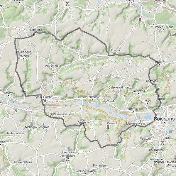
Experience the best of Picardie with this road cycling route through Mercin-et-Vaux, Ambleny, Saint-Pierre-lès-Bitry, Audignicourt, Vézaponin, and Chavigny.
This 69-kilometer road cycling route is a true masterpiece for cycling enthusiasts. With an ascent of 643 meters, it is suitable for experienced cyclists seeking a challenging adventure. This route covers the most scenic and iconic spots of Asturias, including picturesque villages, panoramic viewpoints, and historical landmarks.
Tour Flagella Road Route

Embark on a challenging road route with stunning views at Tour Flagella
This road route starting near Cuffies explores the challenging terrain, offering spectacular views along the way. Ascend 410 meters over a distance of 59 kilometers, making it suitable for experienced amateur cyclists. Enjoy the unique landscapes and pass through the village of Cuiry-Housse, known for its charming atmosphere and historic buildings.
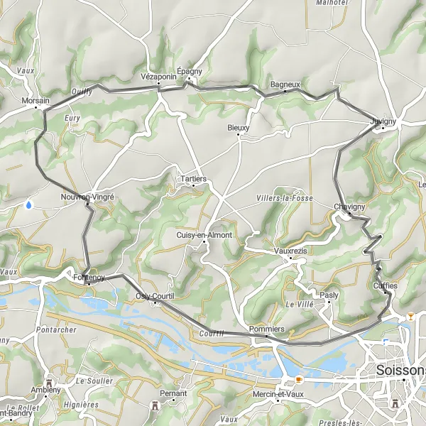
Embark on a road cycling adventure through Nouvron-Vingré, Vézaponin, and Chavigny.
This 36-kilometer road cycling route is perfect for cyclists looking for a shorter and less challenging option. With an ascent of 355 meters, it offers moderate difficulty for well-trained amateurs. You'll explore the historic village of Nouvron-Vingré, admire the beauty of Vézaponin, and take in the scenic views of Chavigny.
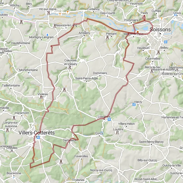
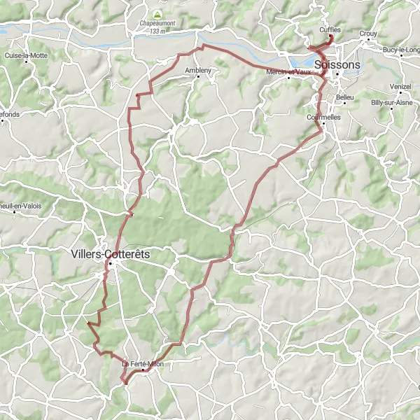
Embark on a gravel cycling adventure to Chaudun, Dampleux, Villers-Cotterêts, Ressons-le-Long, and Pernant.
This 78-kilometer round-trip gravel cycling route will take you off the beaten path and show you the hidden gems of Picardie. With a challenging ascent of 590 meters, this route is recommended for experienced cyclists. You'll discover picturesque villages, stunning landscapes, and historic sites along the way.
Cycling routes nearby:
Nearby regions: