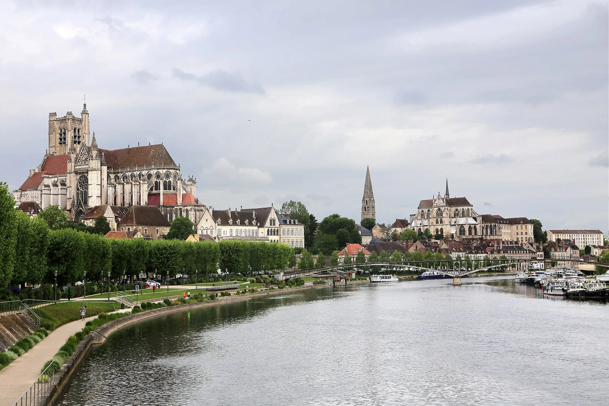
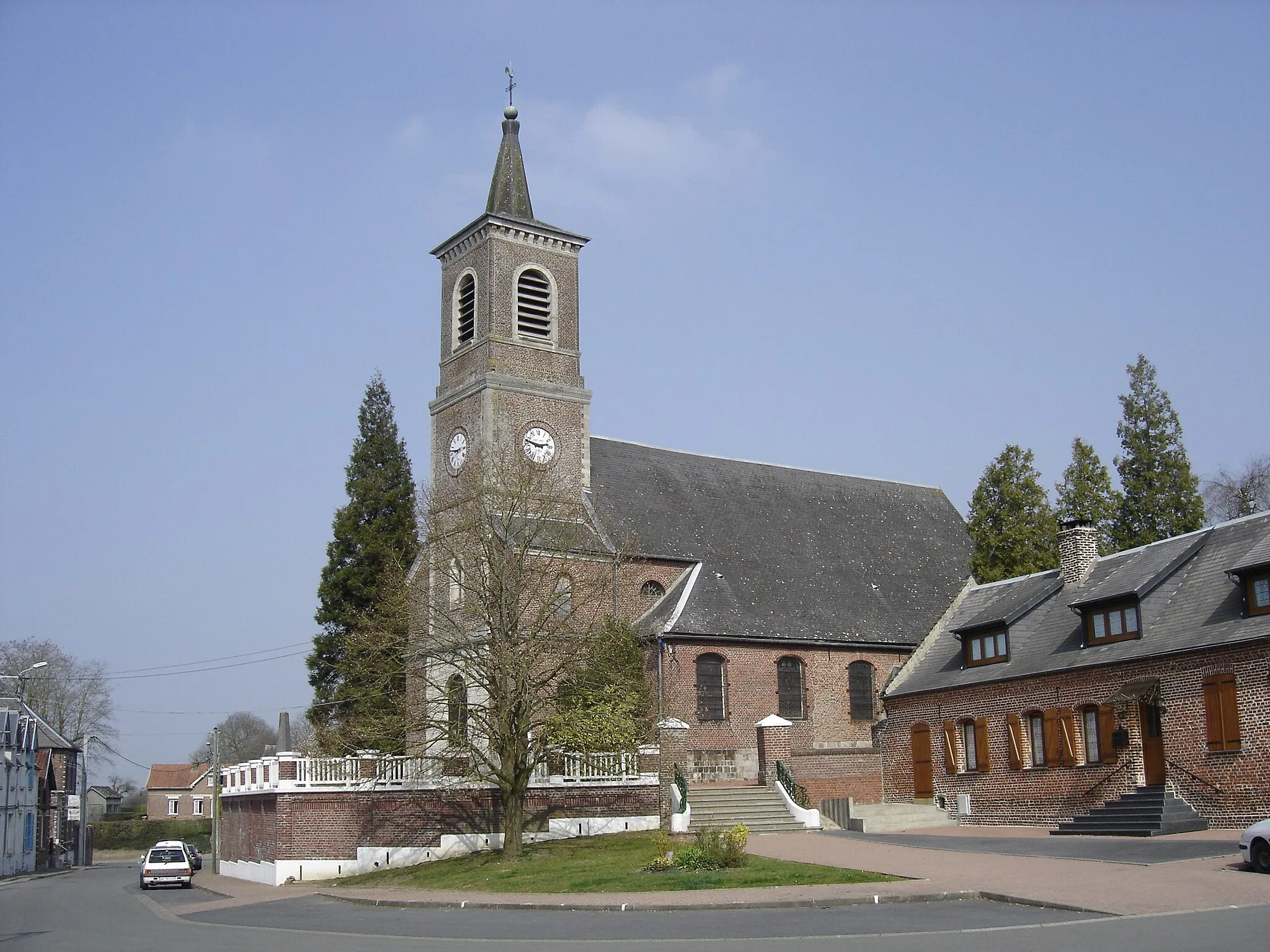
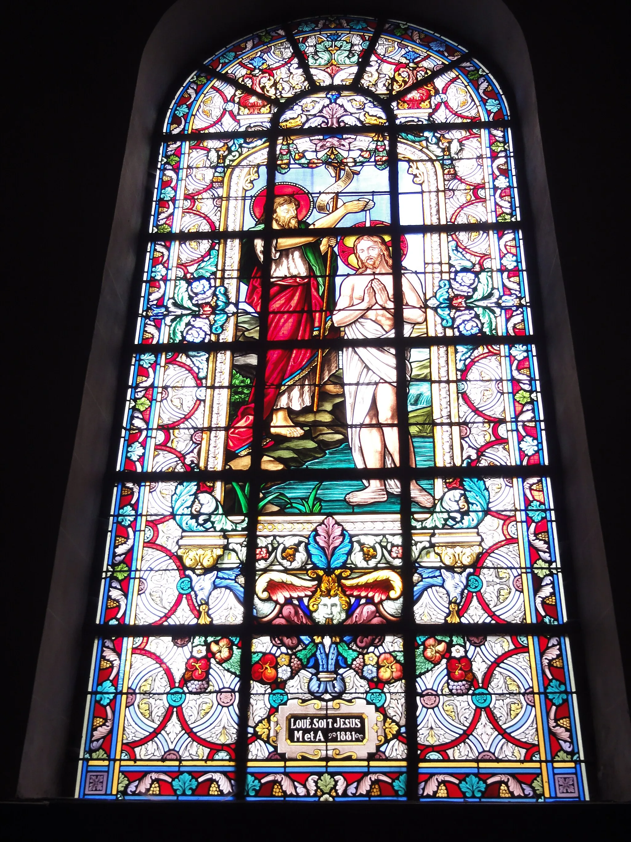
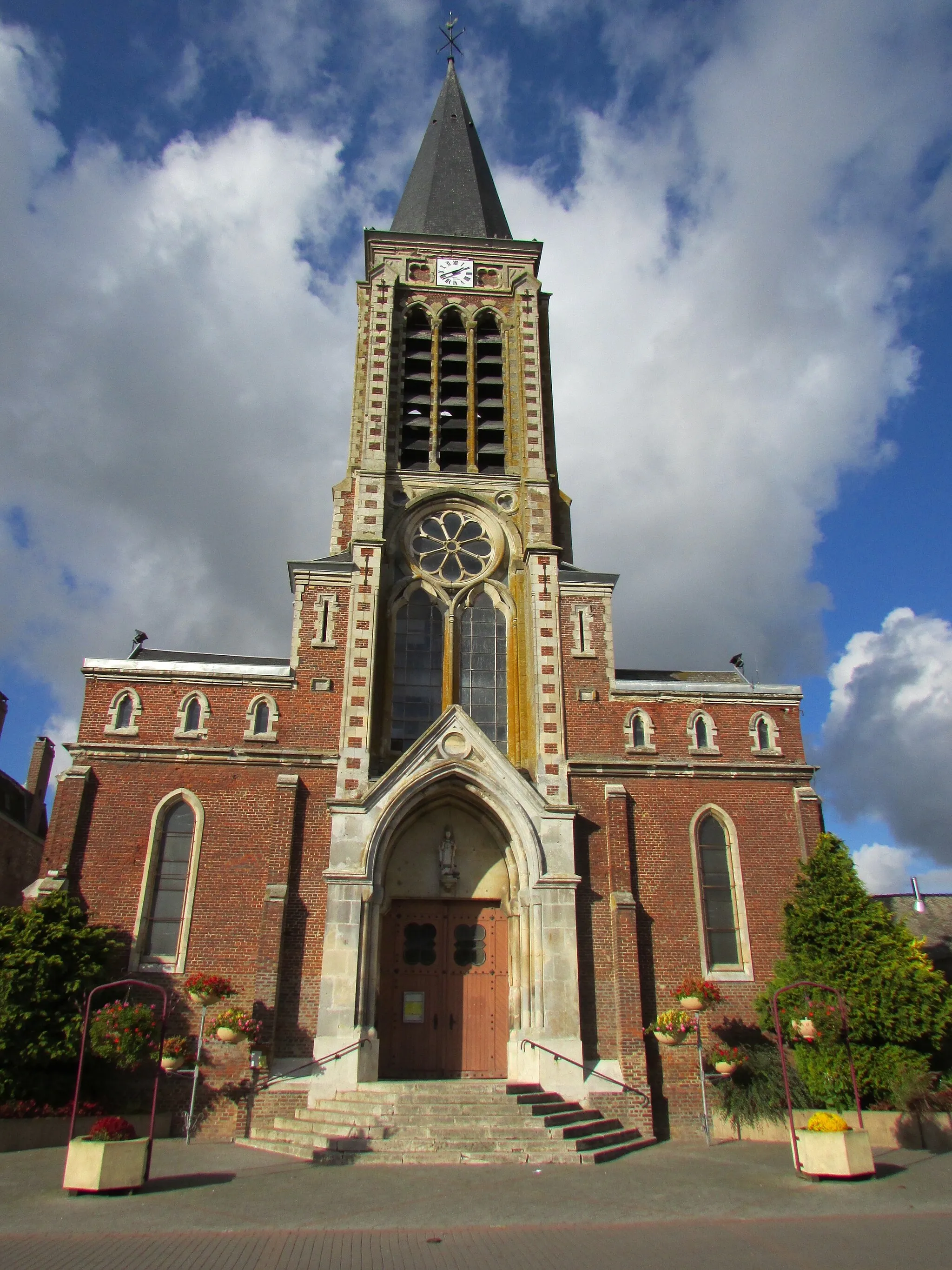
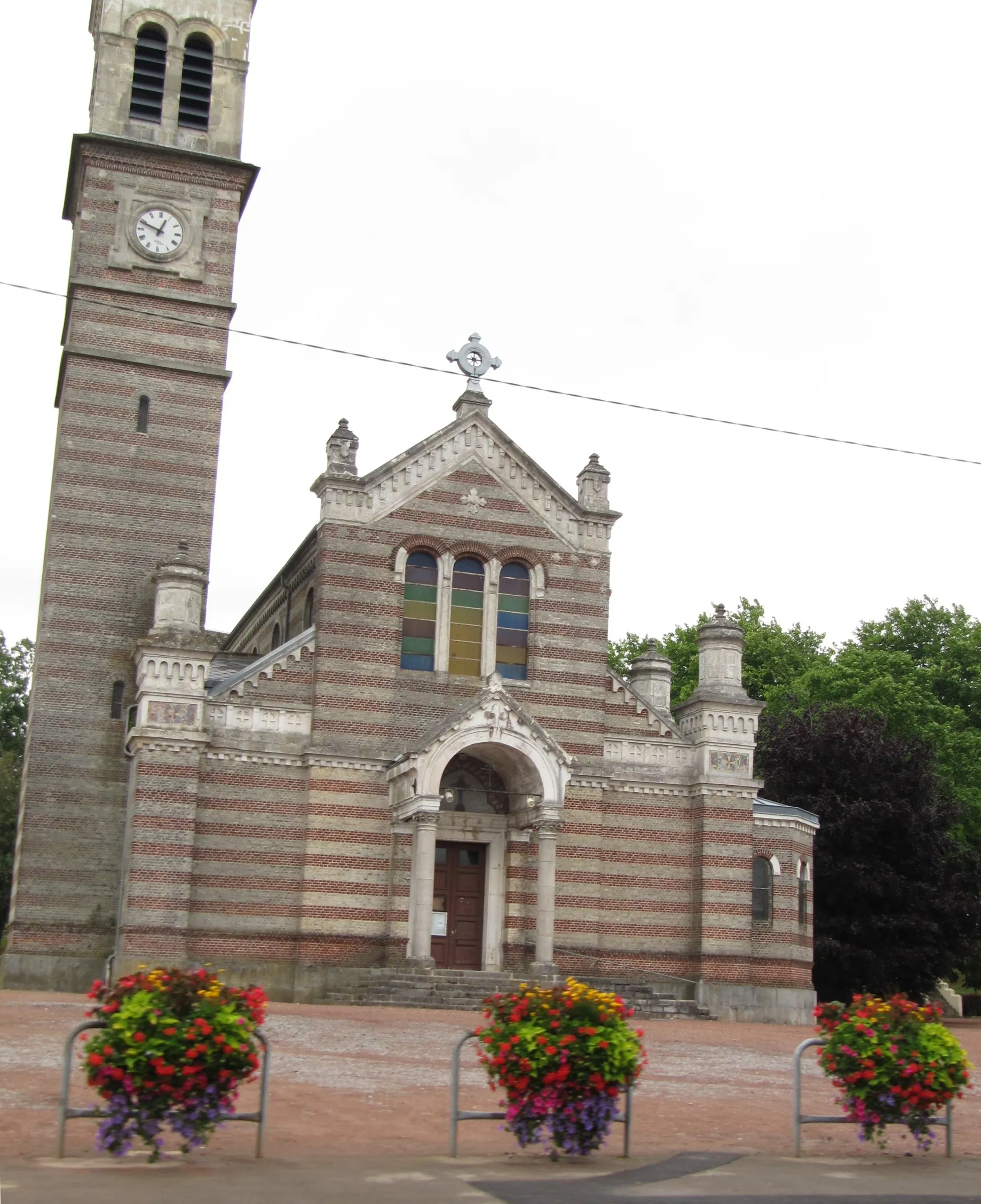
Discover the peaceful charm of Étreux and explore the historical wonders of Guise.
Cycling routes from Etreux
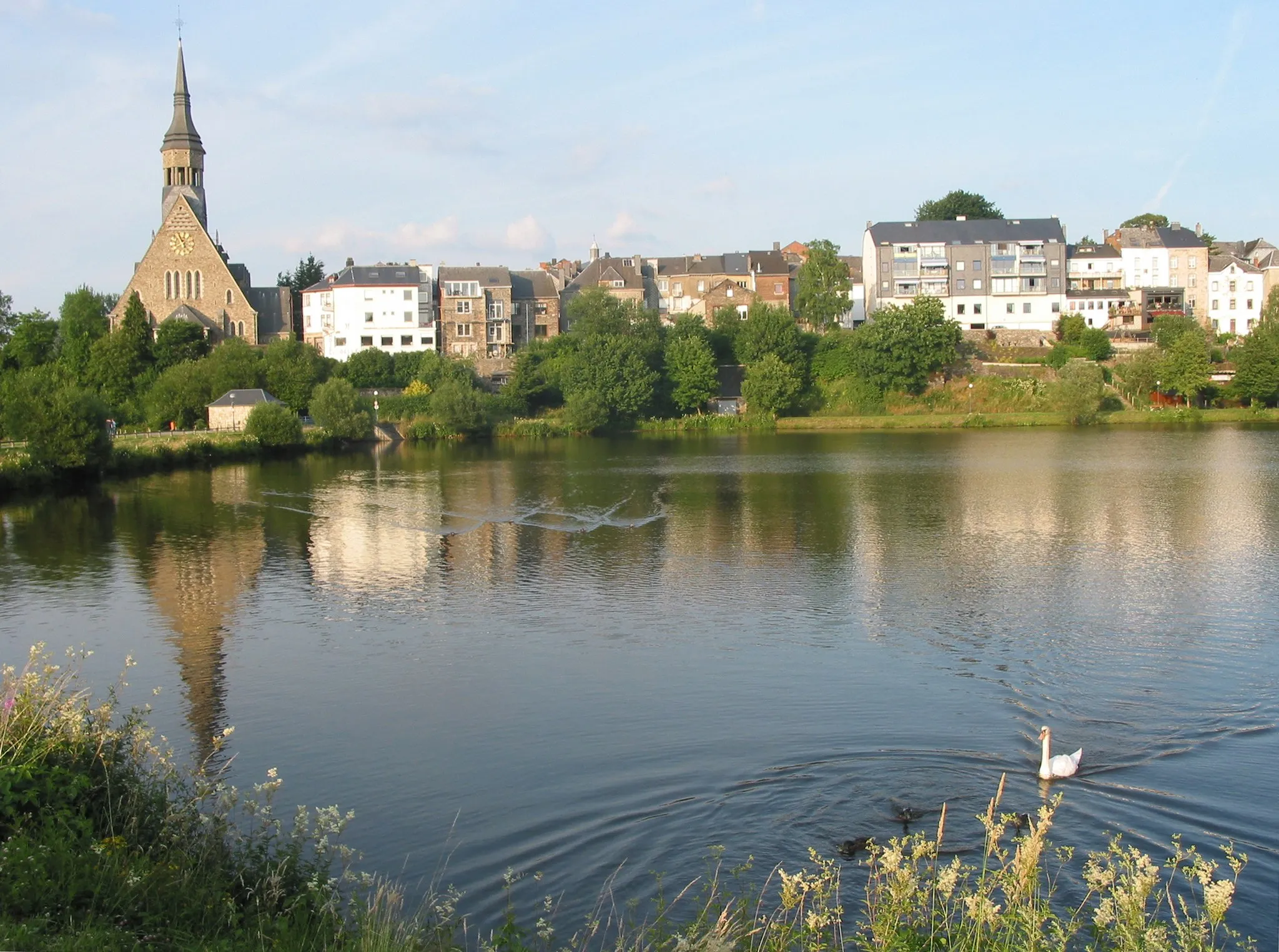
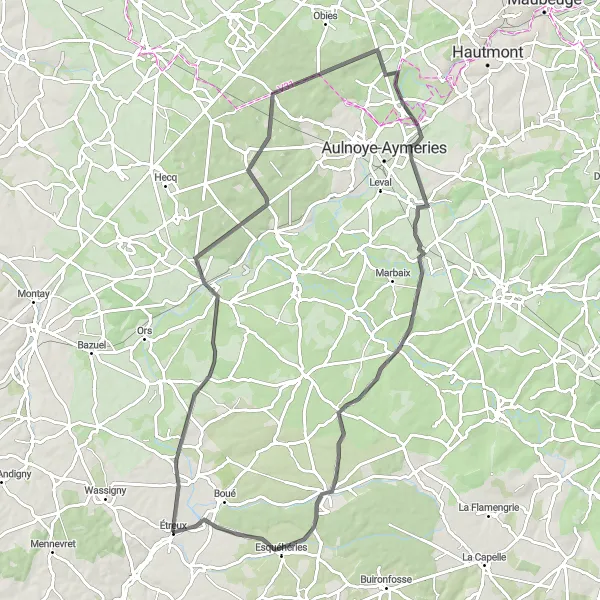
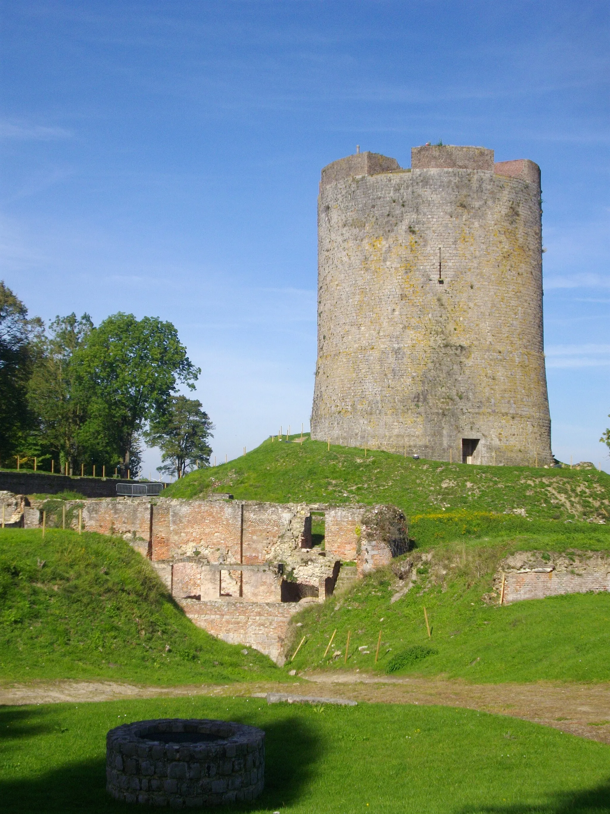
Étreux, situated in Picardie, France, offers a rewarding cycling experience for both road and gravel cyclists. The locality features quiet rural roads and a gentle countryside landscape, allowing riders to enjoy the tranquility of the region. Cyclists can explore the historical town of Guise, renowned for its impressive Château Fort and medieval charm. Étreux provides an excellent base for cycling enthusiasts looking to immerse themselves in picturesque surroundings and historical landmarks.
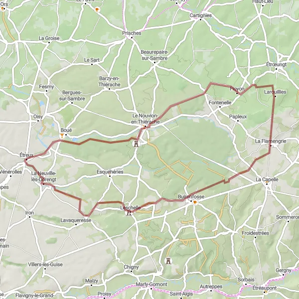
Embark on a thrilling gravel adventure in Étreux
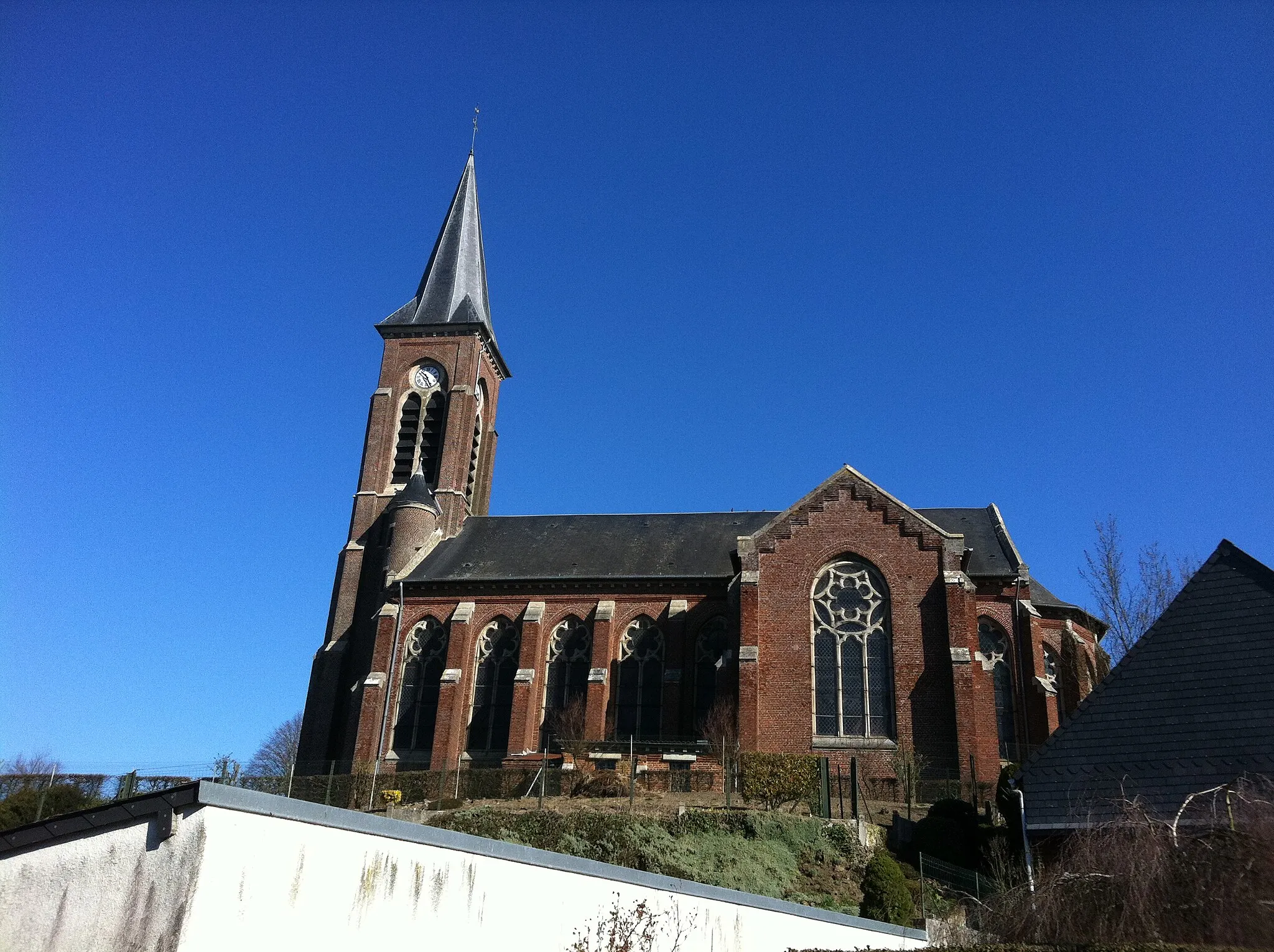
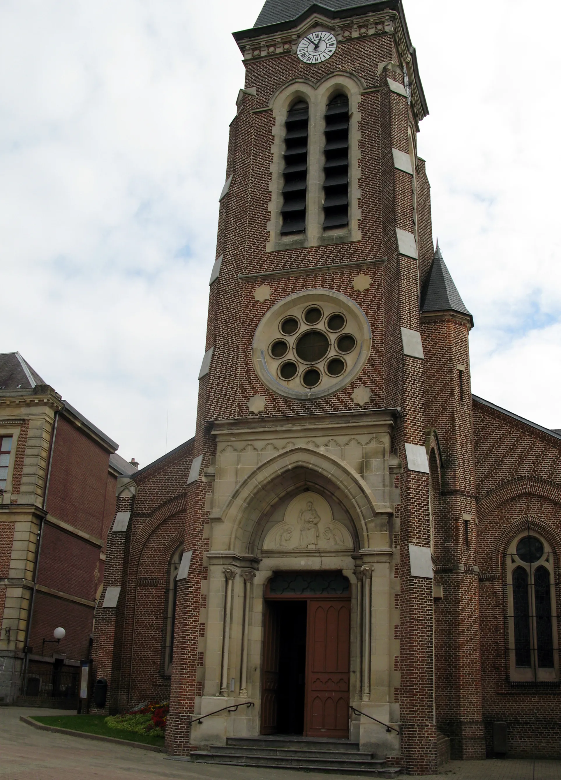
Experience the excitement of gravel cycling as you embark on an adventurous route in Étreux. This 52 km long gravel road offers a unique and off-the-beaten-path experience. With a moderate ascent of 306 m, the route is suitable for well-trained amateurs looking to explore the unexplored. Marvel at the rugged beauty of the Picardie region, characterized by its gravel paths, rolling hills, and hidden gems. The cycling difficulty level is rated 3, while the epicness score is 2. Highlights along the way include Floyon, a charming village surrounded by scenic landscapes and known for its traditional farms, La Flamengrie, a small village with an old-world charm and stunning countryside views, and Leschelle, a hidden gem with picturesque streets and historic landmarks. Don't forget to visit Dorengt with its charming church and riverside setting, providing the perfect spot for a rest amidst the natural beauty.

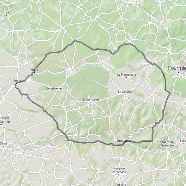
Explore the scenic beauty from Étreux to Origny-Sainte-Benoite
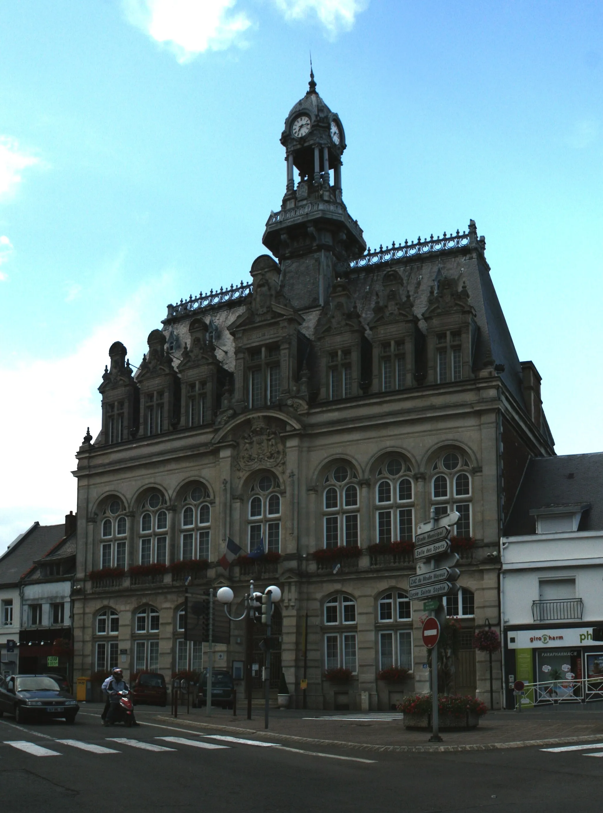
Discover the picturesque landscapes and charming villages as you cycle from Étreux to Origny-Sainte-Benoite. This 84 km long route offers a challenging ascent of 684 m, making it suitable for well-trained amateurs seeking a more strenuous cycling adventure. Look forward to breathtaking views and the opportunity to immerse yourself in the peaceful atmosphere of the Picardie countryside. The cycling difficulty is rated 4, while the epicness score is 4. Highlights along the way include Monceau-sur-Oise, a historic village with stunning architecture and a rich cultural heritage, Chevresis-Monceau, known for its beautiful churches and traditional French charm, and Montigny-en-Arrouaise, a quaint village surrounded by lush green fields. Don't forget to visit Petit-Verly with its remarkable historic buildings and the charming village of Origny-Sainte-Benoite, famous for its medieval castle.
The Gravel Adventure
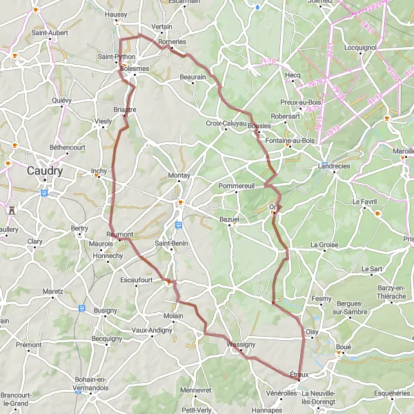
An exhilarating gravel route through the scenic landscape of Picardie
The Gravel Adventure is a thrilling gravel route that takes you through the picturesque landscapes of Picardie. With a distance of 69 km and an ascent of 353 meters, this route is perfect for cyclists looking for an off-road challenge. Starting near Étreux, the route passes through the highlight of Saint-Martin-Rivière, where you can enjoy the beautiful countryside and the peaceful atmosphere. As you continue along the route, you'll pass through Reumont, Briastre, Vendegies-au-Bois, and Rejet-de-Beaulieu. The route also includes Étreux as a highlight, allowing you to explore the charming village and its surroundings.
Experience the tranquility along Axe vert de la Thiérache
Immerse yourself in the serene beauty of nature as you cycle from Étreux to Axe vert de la Thiérache. This 53 km long road route offers moderate difficulty with an ascent of 466 m, making it suitable for well-trained amateurs. Enjoy the peace and quiet of the Thiérache region, characterized by its dense forests, rolling hills, and charming villages. The route showcases the breathtaking landscapes and offers opportunities for wildlife spotting and relaxation. The cycling difficulty level is rated 3, while the route's epicness score is 3, reflecting the moderate challenges and scenic beauty along the way. The highlights include Crupilly, a hidden gem with a beautiful church and idyllic countryside views, Le Hérie-la-Viéville with its charming old buildings and quaint streets, and Vénérolles, a peaceful village known for its picturesque landscapes and ancient church.
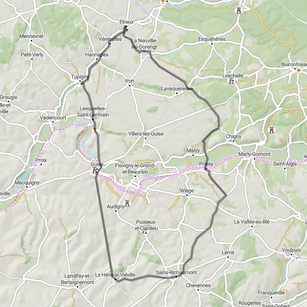
A scenic road route through the picturesque landscape of Thiérache
The Thiérache Tour is a road route that takes you through the stunning countryside and charming villages of Thiérache. With a distance of 78 km and an ascent of 547 meters, this route is suitable for cyclists of all levels. Starting in Étreux, the route passes through the highlight of Barzy-en-Thiérache, where you can take a break and enjoy the peaceful atmosphere. As you continue along the route, you'll pass through Wignehies, Étréaupont, L'Oise, and Crupilly, before reaching the final highlight of La Neuville-lès-Dorengt. This beautiful village is known for its picturesque streets and historic buildings.
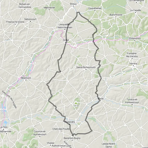
A challenging road route through the hilly landscapes of Thiérache
The Thiérache Challenge is a road route that offers a thrilling cycling experience through the hilly landscapes of Thiérache. With a distance of 101 km and an ascent of 896 meters, this route is recommended for experienced and well-trained cyclists. Starting near Étreux, the route passes through the highlight of Crupilly, where you can take a break and enjoy the peaceful countryside. As you continue along the route, you'll pass through Marfontaine, Voyenne, Verneuil-sur-Serre, Montigny-sur-Crécy, Landifay-et-Bertaignemont, Axe vert de la Thiérache, and La Neuville-lès-Dorengt. This route guarantees a challenging and rewarding cycling experience.
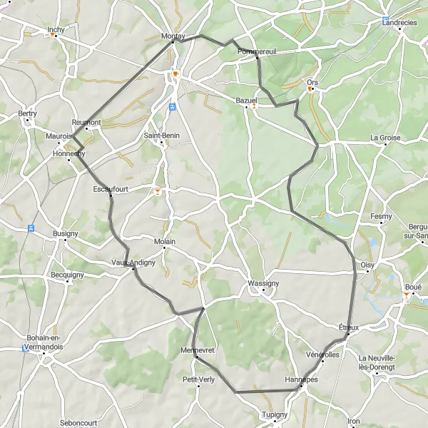
A historical road route through scenic landscapes and charming towns
The Route of History is a road route that takes you on a journey through the historical landscapes of Picardie. With a distance of 53 km and an ascent of 367 meters, this route is suitable for cyclists with some experience. Starting near Étreux, the route passes through the highlight of Hannapes, where you can immerse yourself in history and learn about the region's past. As you continue along the route, you'll pass through Vaux-Andigny, Montay, and Rejet-de-Beaulieu, before reaching Étreux again. This route offers a perfect blend of scenic beauty and historical charm, making it ideal for history enthusiasts.
From Étreux to Rejet-de-Beaulieu
Explore the stunning landscapes from Étreux to Rejet-de-Beaulieu
Embark on a scenic cycling journey from Étreux to Rejet-de-Beaulieu, covering a distance of 72 km with an ascent of 371 m. The route offers breathtaking views of the Picardie region and takes you through picturesque villages and beautiful countryside. The cycling difficulty is moderate, suitable for well-trained amateurs, with an epicness rating of 3. Highlights along the route include Robersart, a charming village nestled in the rolling hills, Locquignol with its impressive natural beauty, and Grand-Fayt known for its historical significance. These highlights are worth exploring and offer a glimpse into the rich cultural and natural heritage of the region.
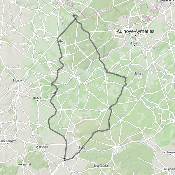
Explore the historic charm from Étreux to Château du Nouvion
Embark on a journey through history as you cycle from Étreux to Château du Nouvion. This 81 km long road route offers a moderate cycling difficulty with an ascent of 473 m, suitable for well-trained amateurs seeking a challenge. Discover the rich heritage of the Nouvion-en-Thiérache region, known for its impressive châteaux, historic landmarks, and charming villages. The scenic landscapes and cultural attractions make this route a must-visit for history enthusiasts and nature lovers alike. The cycling difficulty is rated 3, while the epicness score is 4. Highlights include La Groise, a picturesque village with traditional architecture and a charming main square, Locquignol, surrounded by dense forests and offering hiking trails for outdoor enthusiasts, Saint-Remy-Chaussée, home to the enchanting Château du Nouvion, and Étreux, the starting and ending point, where you can explore the local history and enjoy the warm hospitality of the village.
The Hills of Picardie

A challenging route through the hilly landscape of Picardie
The Hills of Picardie route takes you through the beautiful region of Étreux, offering scenic views and challenging climbs. With a total distance of 122 km and an ascent of 724 meters, this road route is perfect for cyclists looking for a bit of a challenge. The route starts in Étreux and passes through several highlights, including the charming village of Malzy and the picturesque town of Chevennes. From here, the route takes you to Froidmont-Cohartille, where you can enjoy stunning views of the surrounding countryside. As you continue along the route, you'll pass through Chéry-lès-Pouilly, Pont-à-Bucy, Origny-Sainte-Benoite, and Vénérolles before returning to the starting point.
Cycling routes nearby:


Nearby regions: