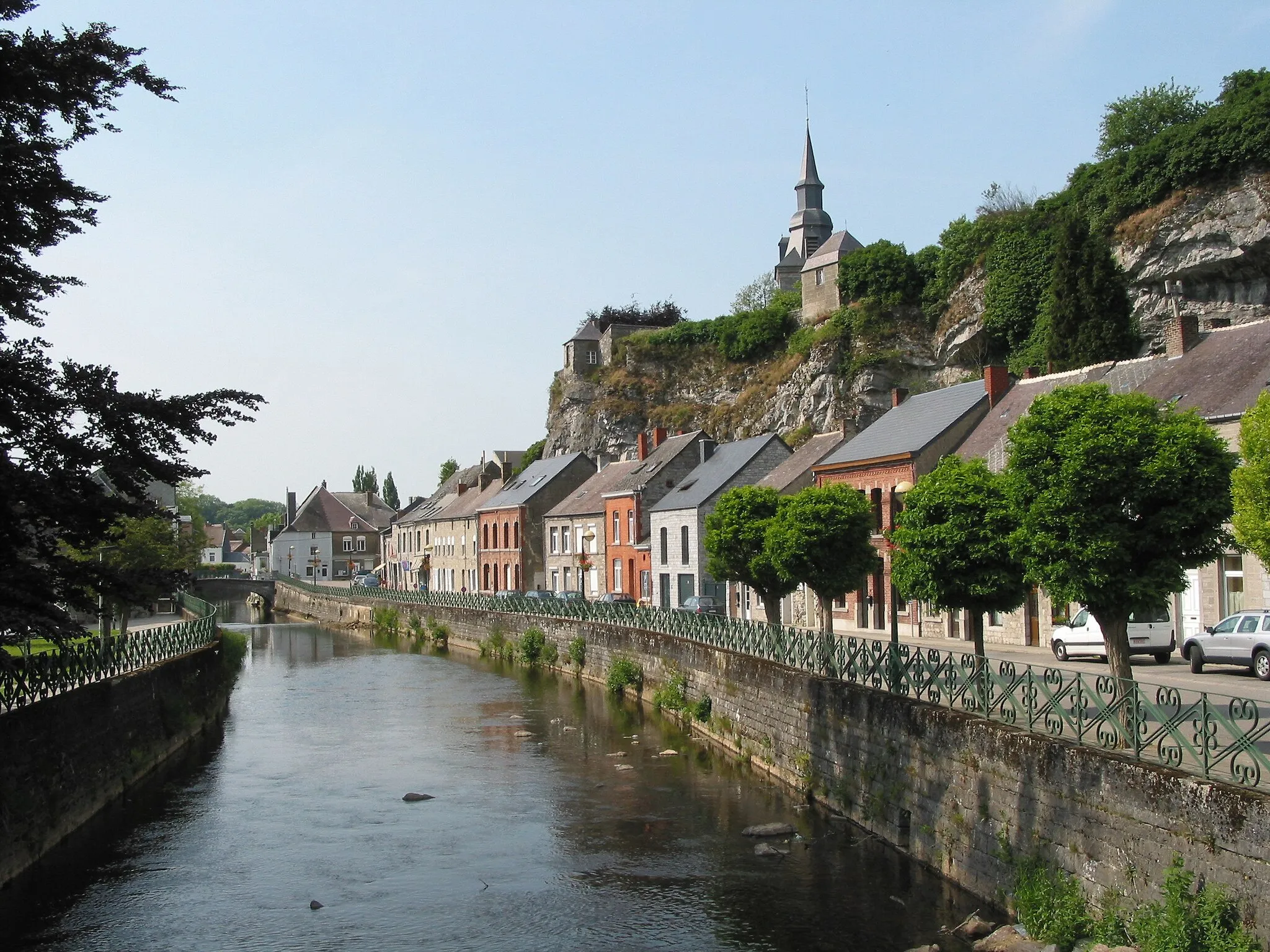
Leisurely rides through serene countryside in Picardie
Cycling routes from Orry-la-Ville
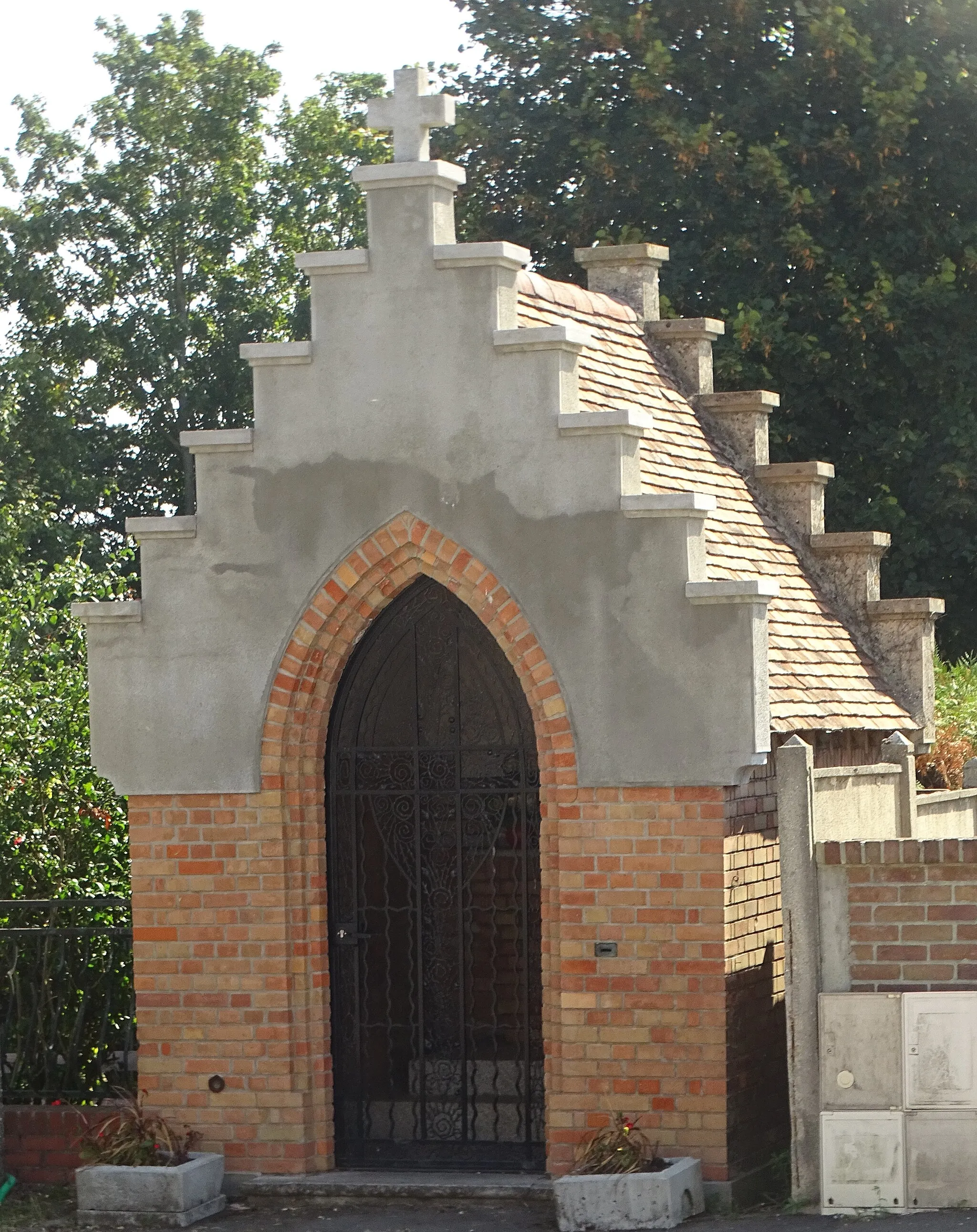
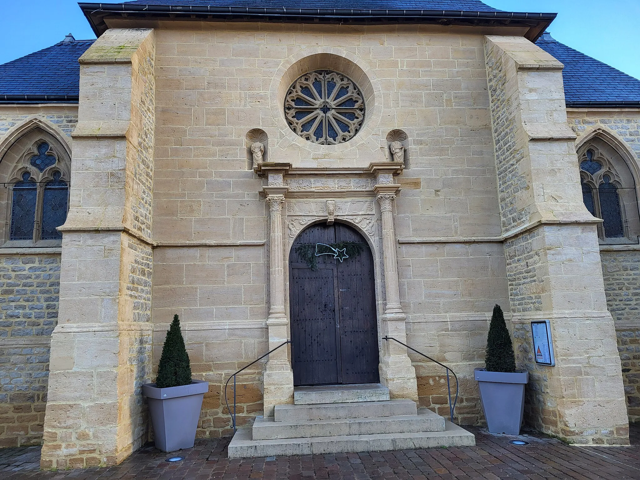
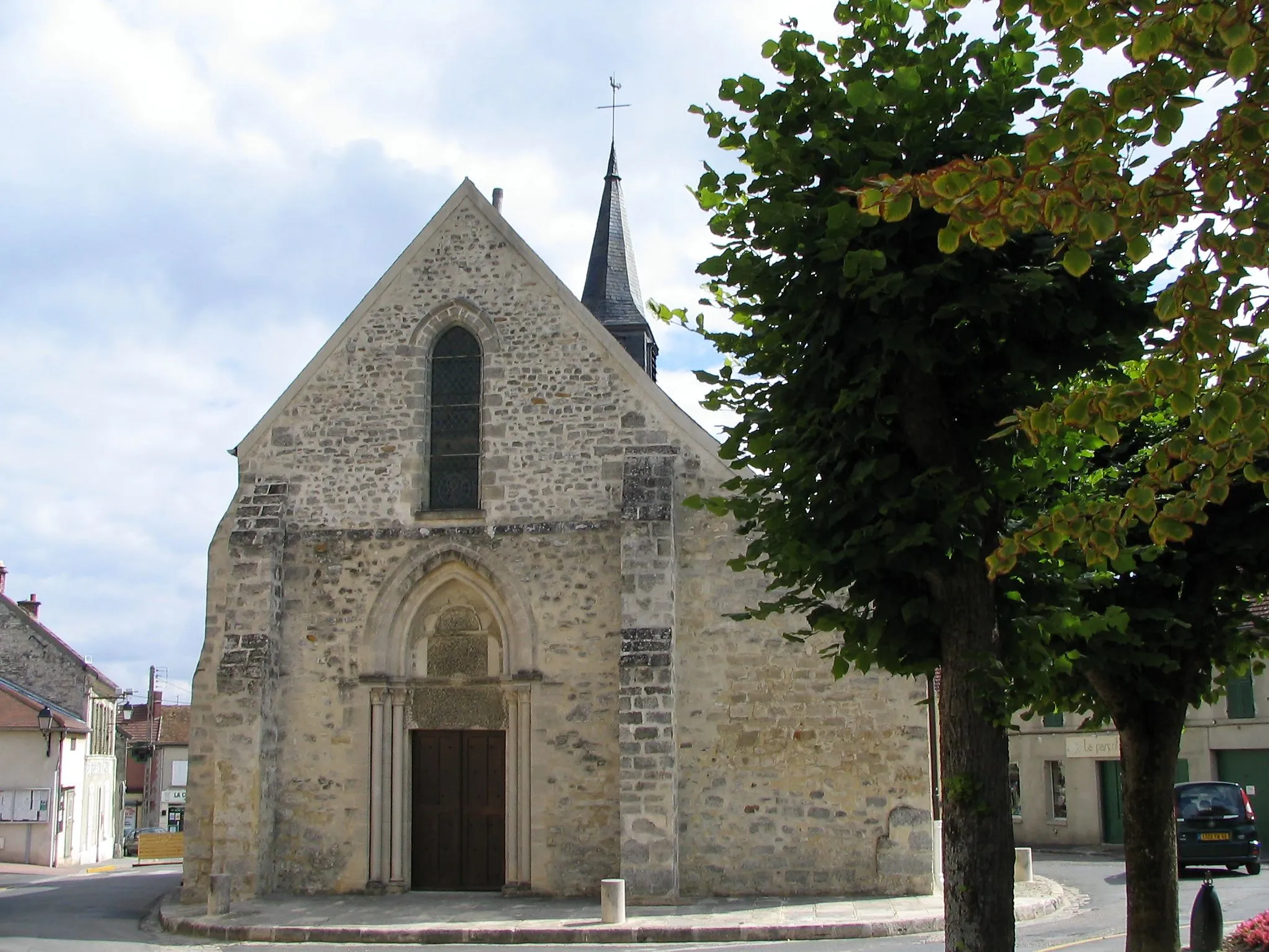
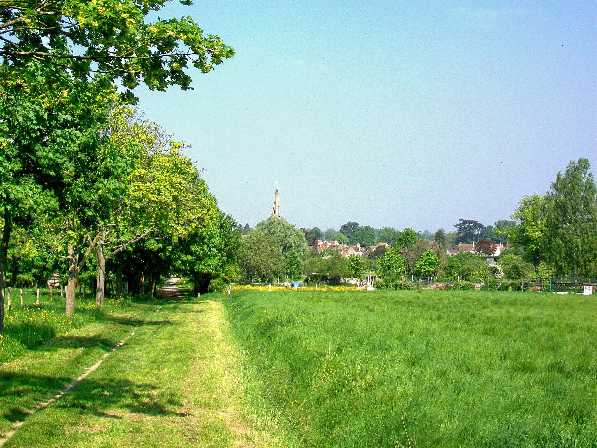
Orry-la-Ville, located in the Picardie region of France, offers a serene and idyllic setting for road and gravel cycling. Cyclists can explore the peaceful countryside, pedaling along quiet roads and admiring the charming rural landscapes. While Orry-la-Ville may not have any famous cycling spots or renowned climbs nearby, its tranquil atmosphere undeniably makes it a charming destination for leisurely rides. Perfect for those seeking a peaceful cycling getaway.
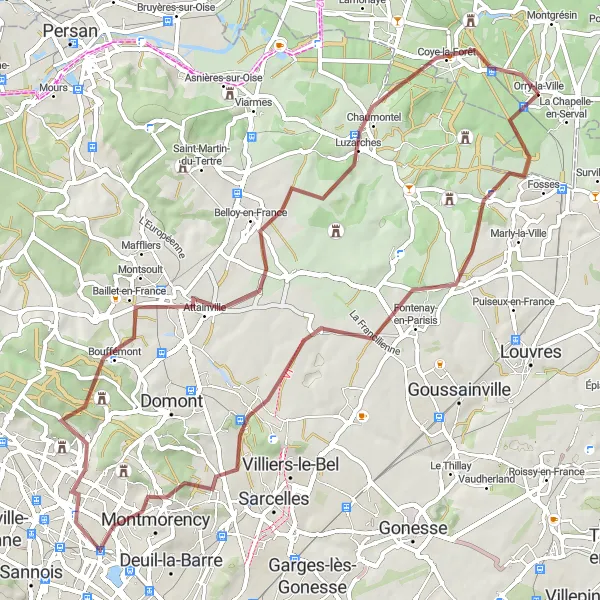
Val-d'Oise Exploration
A varied road route with historical landmarks and scenic landscapes to discover.
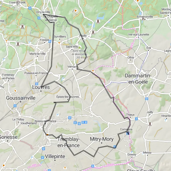
The Val-d'Oise Exploration is a captivating road route that covers a total distance of 67 km and offers an ascent of 292 m. This route is suitable for well-trained amateurs looking for a mix of challenges and scenic beauty. With a moderate difficulty level and epicness rating of 3 out of 5, the Val-d'Oise Exploration promises an enjoyable cycling experience while discovering the region's rich history and natural landscapes.
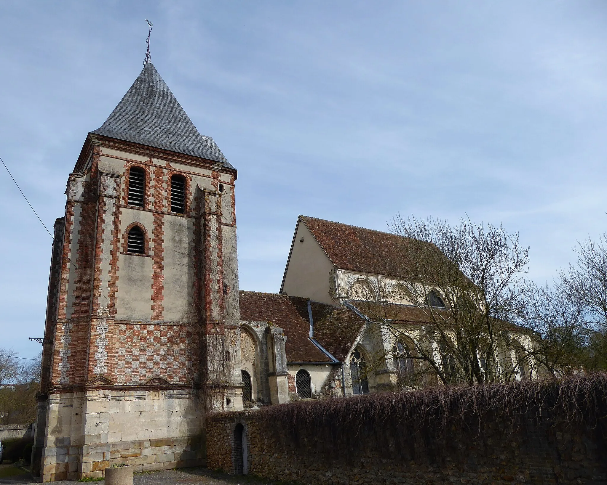
Valois Historical Path
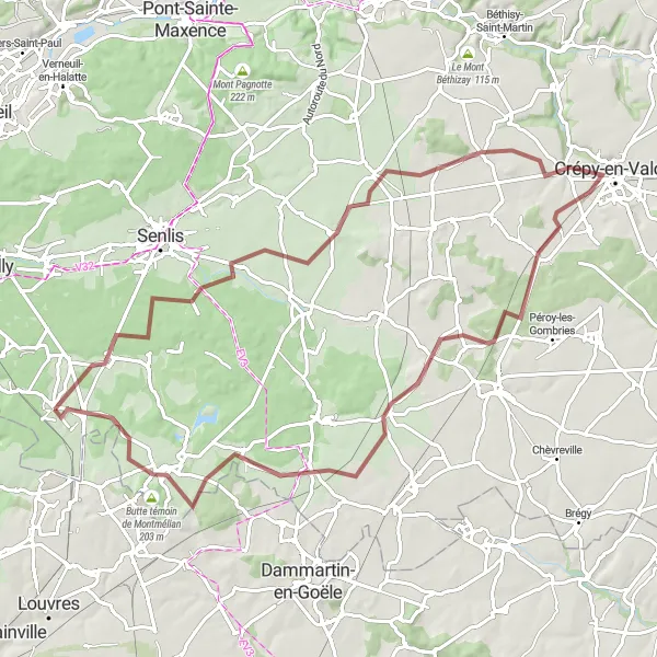
A picturesque gravel route passing through historic towns and beautiful French countryside.
The Valois Historical Path is an idyllic gravel route that takes you through picturesque towns and beautiful French countryside. With a total length of 79 km and an ascent of 360 m, this route is suitable for well-trained amateurs and offers a moderate level of difficulty. The epicness of this ride is rated as a 3 out of 5, allowing you to enjoy the surrounding scenery without being too demanding.
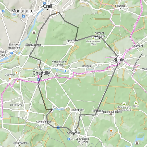
The Forest Ride
Experience the beauty of the forested landscapes around Orry-la-Ville on this challenging gravel cycling route.
The Forest Ride is a gravel cycling route starting near Orry-la-Ville in Picardie, France. This adventurous route offers a total ascent of 633 meters over a distance of 65 kilometers. It takes riders through dense forests and quiet paths, providing a unique and challenging off-road experience. With a difficulty rating of 4 out of 5, the route is suitable for experienced gravel cyclists who are looking for a demanding and technical ride. It features steep climbs, rough terrain, and narrow trails, requiring good bike handling skills. The epicness rating of 3 out of 5 suggests that while the route is not particularly famous or legendary, it offers a thrilling adventure for those seeking a less-traveled path.
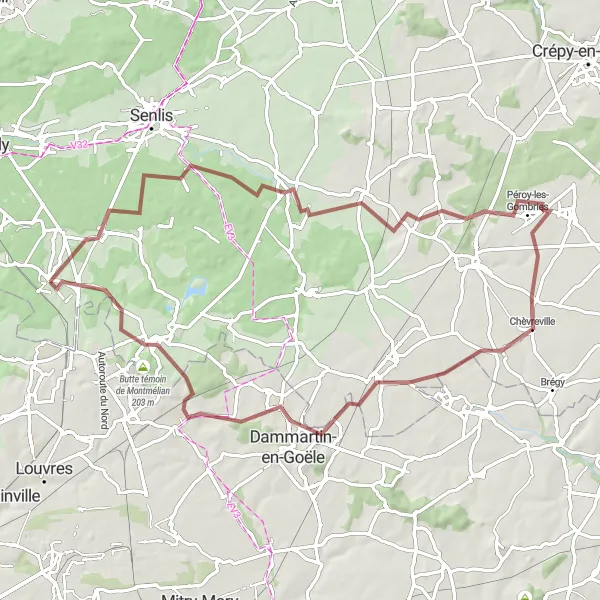
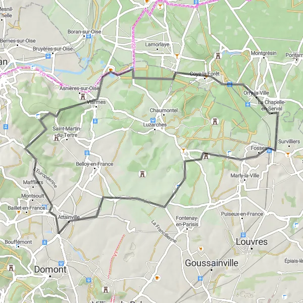
The Gravel Tour
Embark on a gravel adventure around Orry-la-Ville with highlights such as the Butte aux Gens d'Armes.
The Gravel Tour is a gravel cycling route starting near Orry-la-Ville in Picardie, France. This adventurous route offers a total ascent of 326 meters over a distance of 65 kilometers. With its combination of gravel tracks and scenic paths, the route allows riders to explore the diverse terrain of the area. With a difficulty rating of 2 out of 5, the route is suitable for well-trained amateur cyclists who are looking for a moderate challenge. It features some gravel sections that require technical skills but is overall accessible and enjoyable. The epicness rating of 3 out of 5 suggests that while the route is not particularly famous or legendary, it offers a unique experience for gravel enthusiasts and provides the opportunity to discover picturesque countryside.
Forest Adventure
A thrilling gravel route through dense forests and scenic landscapes.
The Forest Adventure is an exhilarating gravel route that covers a total distance of 76 km and offers an ascent of 305 m. Suitable for well-trained amateurs, this route takes you through dense forests and provides gorgeous nature views. With a moderate difficulty level and an epicness rating of 3 out of 5, the Forest Adventure offers a perfect balance between challenge and enjoyment.
Venture into the picturesque countryside surrounding Orry-la-Ville on this epic road cycling route.
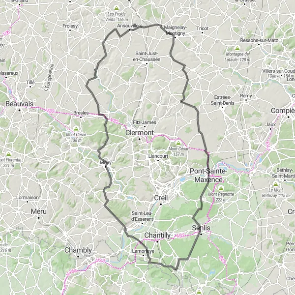
The Countryside Adventure is a road cycling route starting near Orry-la-Ville in Picardie, France. This epic route offers a challenging ride with a total ascent of 917 meters over a distance of 141 kilometers. It takes riders through varied landscapes, including rolling hills, picturesque villages, and scenic country roads. With a difficulty rating of 5 out of 5, the route is suitable for experienced and well-trained amateur cyclists who are looking for a demanding and physically strenuous ride. It features several climbs, long distances, and varying road conditions, requiring a high level of fitness and endurance. The epicness rating of 5 out of 5 signifies that the route is highly regarded and recognized as a legendary and famous cycling spot in the country.
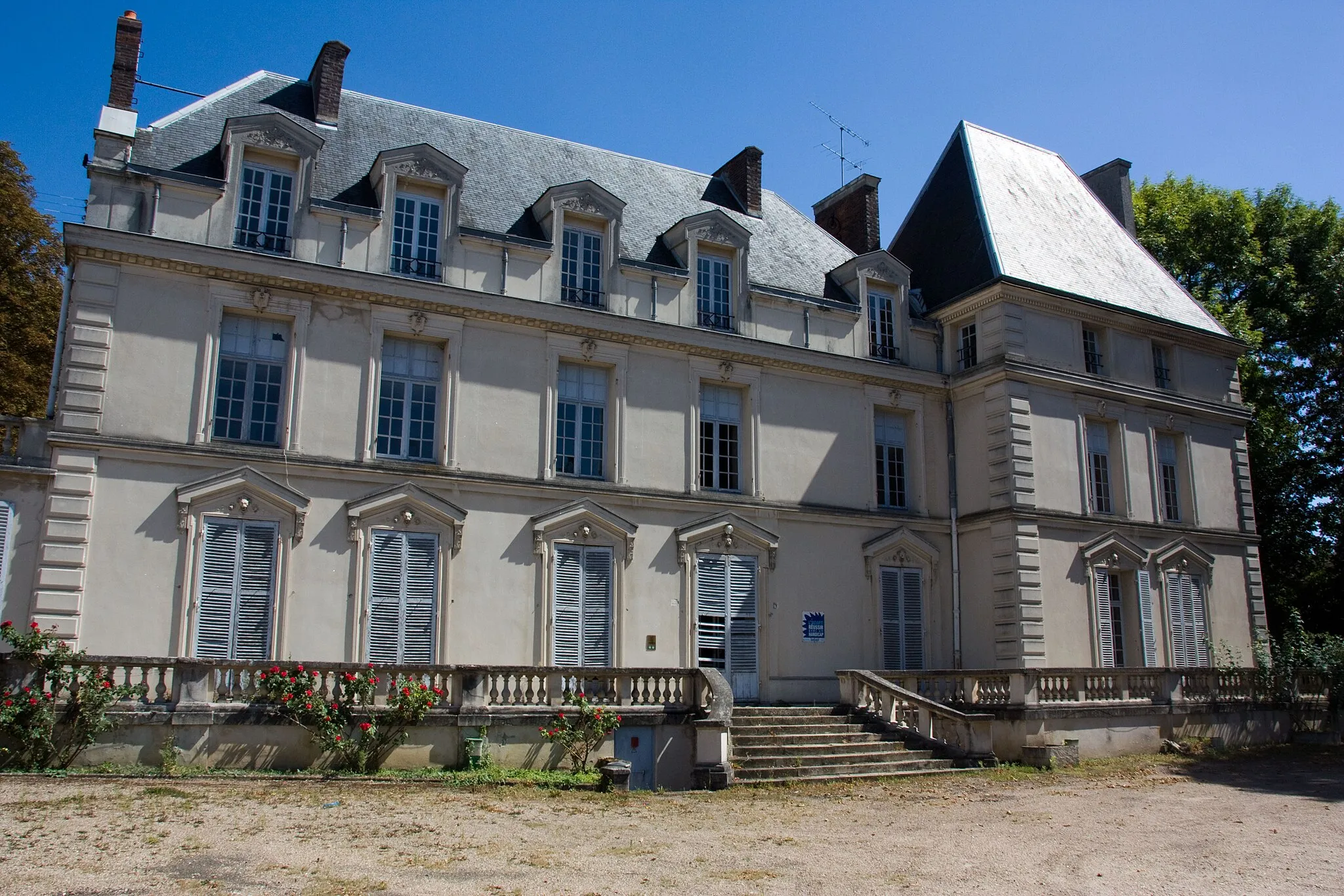
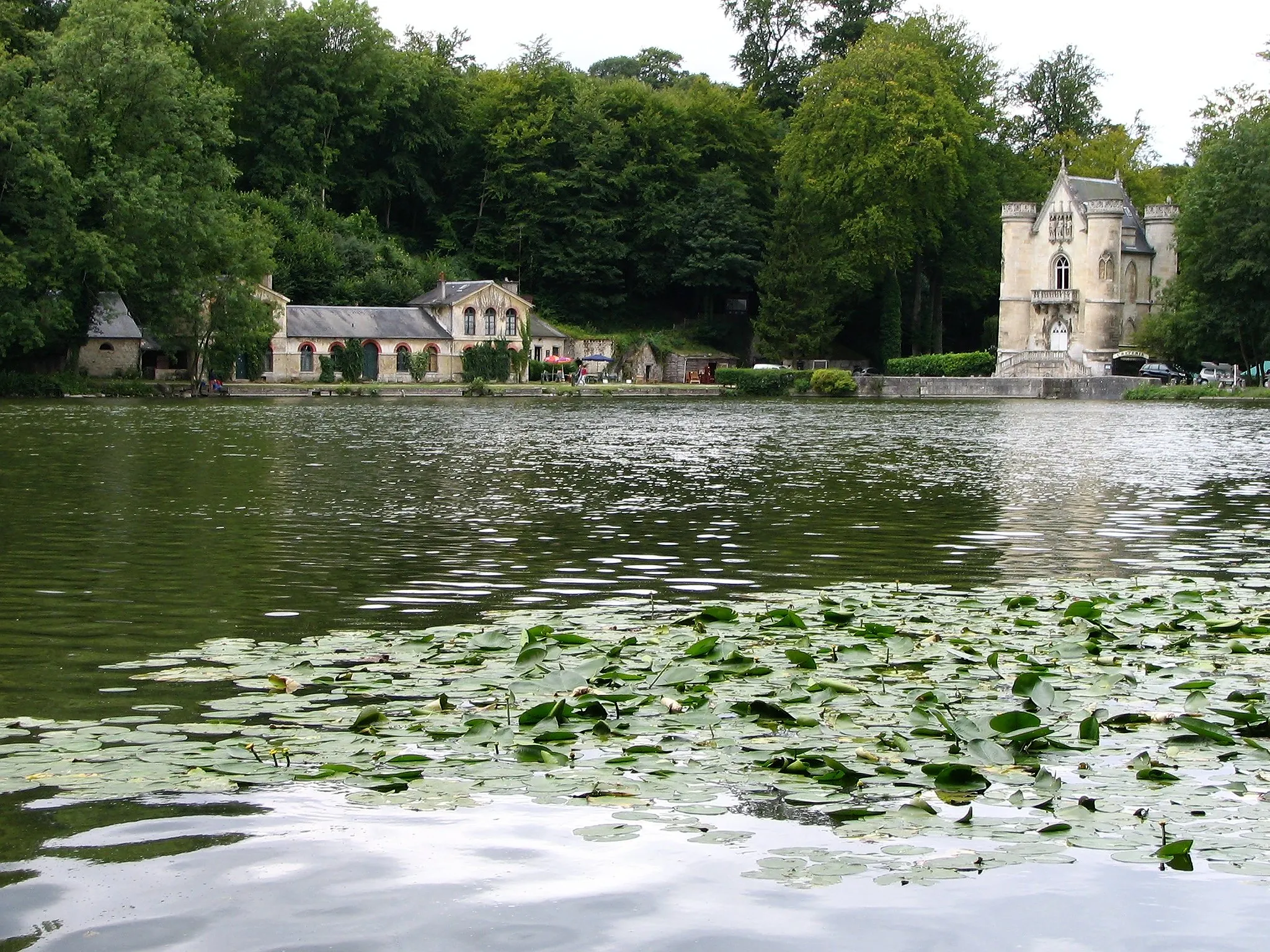
Châteaux and Forests of Picardie
Discover the majestic châteaux and scenic forests in the picturesque region of Picardie.
This round-trip cycling route near Orry-la-Ville takes you through the enchanting landscapes of Picardie, known for its stunning châteaux and vast forests. As you pedal your way through the rolling hills and quaint villages, you'll have the opportunity to explore historic towns, admire beautiful architecture, and immerse yourself in the region's rich cultural heritage. With a total distance of 93 kilometers and an ascent of 590 meters, this route offers a moderate challenge suitable for well-trained amateur cyclists. The epicness of this journey is rated at 3, capturing the scenic beauty and historical significance of the area.
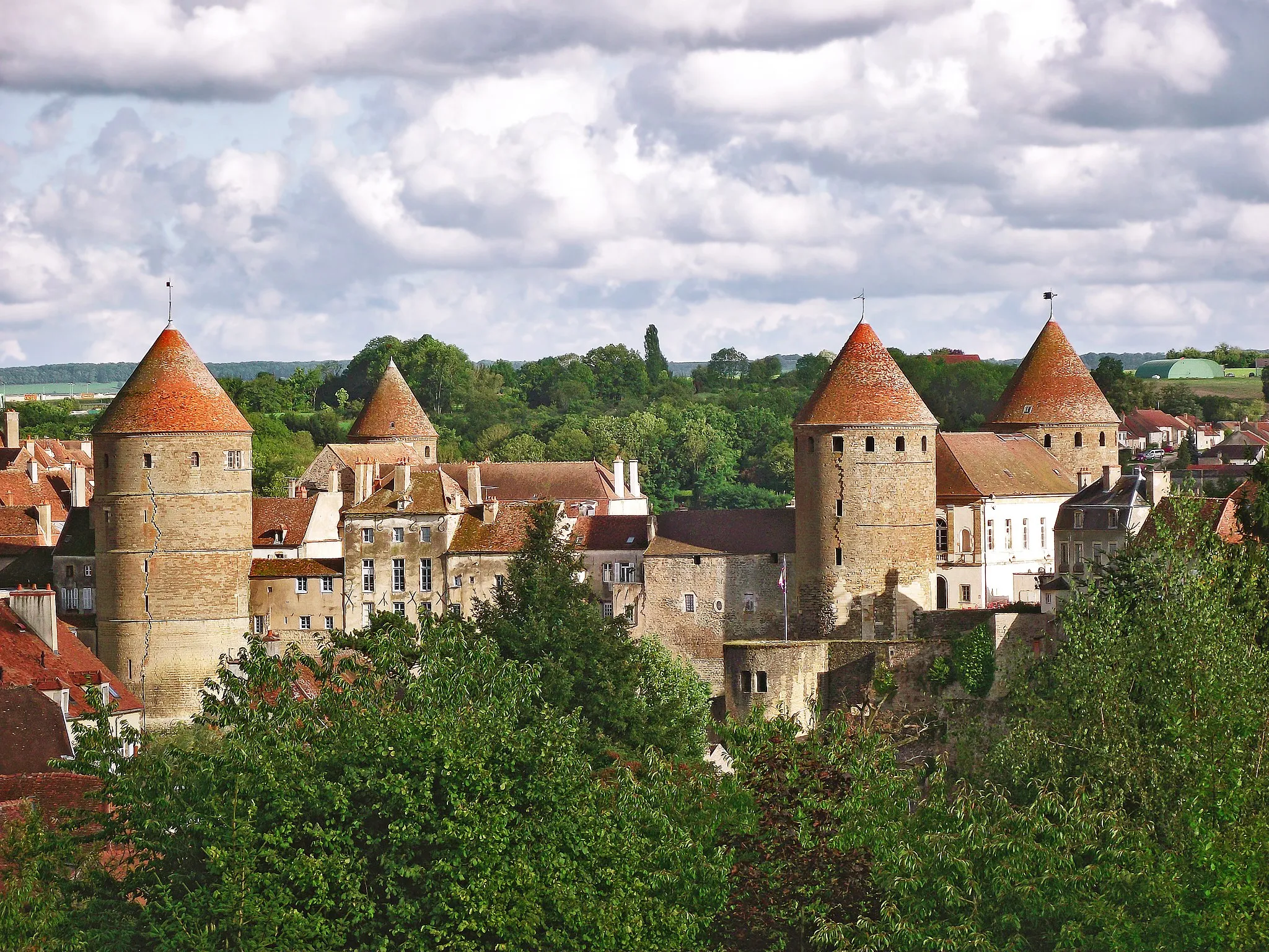
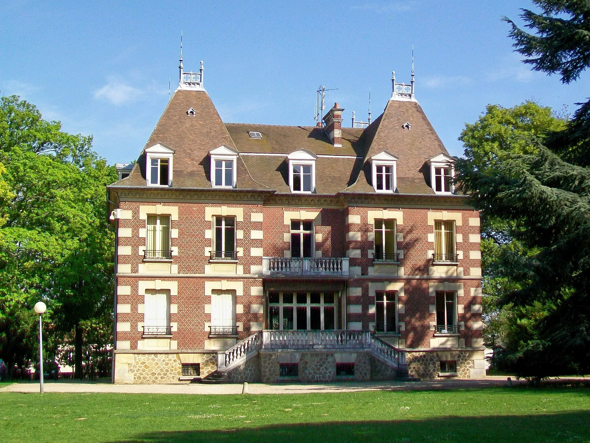
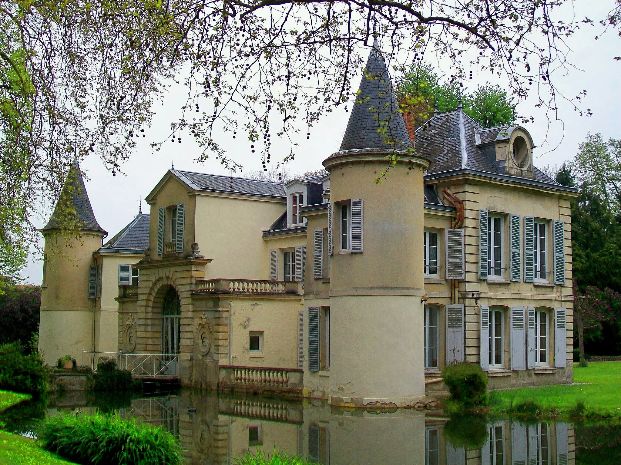
Chateau Circuit
A scenic road route taking you past historical landmarks and picturesque French villages.
The Chateau Circuit is an enchanting road route that covers a distance of 51 km and presents an ascent of 459 m. This route is best suited for very well-trained amateurs due to its challenging climbs and inclines. With stunning scenery and historical landmarks along the way, the Chateau Circuit earns an epicness rating of 4 out of 5.
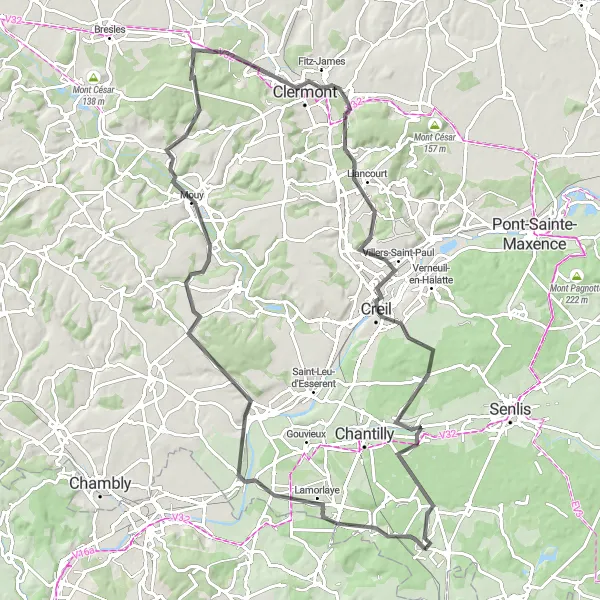
Discover the beauty of Chantilly and Creil on this scenic road cycling route near Orry-la-Ville.
The Chantilly Express is a road cycling route starting near Orry-la-Ville in Picardie, France. It offers a picturesque ride with a total ascent of 277 meters over a distance of 43 kilometers. The route showcases the stunning landscapes of the region, giving riders the opportunity to explore two charming towns along the way. With a difficulty rating of 2 out of 5, the route is suitable for moderately experienced amateur cyclists. It features some rolling terrain but is overall accessible and enjoyable. The epicness rating of 2 out of 5 suggests that while the route might not be particularly famous or legendary, it still offers a scenic and pleasant ride for cyclists looking to explore the area.
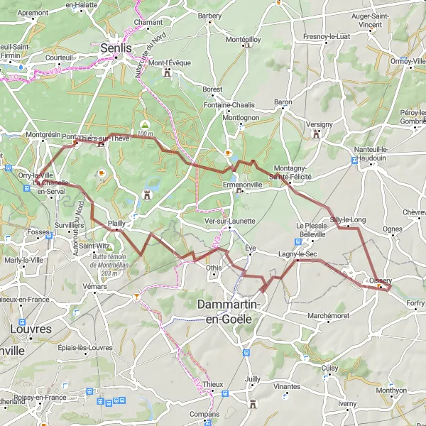
Oise Loop
An adventurous gravel route taking you through scenic landscapes and charming towns.
The Oise Loop is a thrilling gravel route that covers a total distance of 46 km and boasts a total ascent of 358 m. With varied terrain and scenic landscapes, this route offers a fun challenge for well-trained amateurs. Rated at 4 out of 5 for epicness, the Oise Loop promises an unforgettable cycling experience.
Cycling routes nearby:


Nearby regions: