Leisurely rides through charming countryside in Roye, France.
Cycling routes from Roye
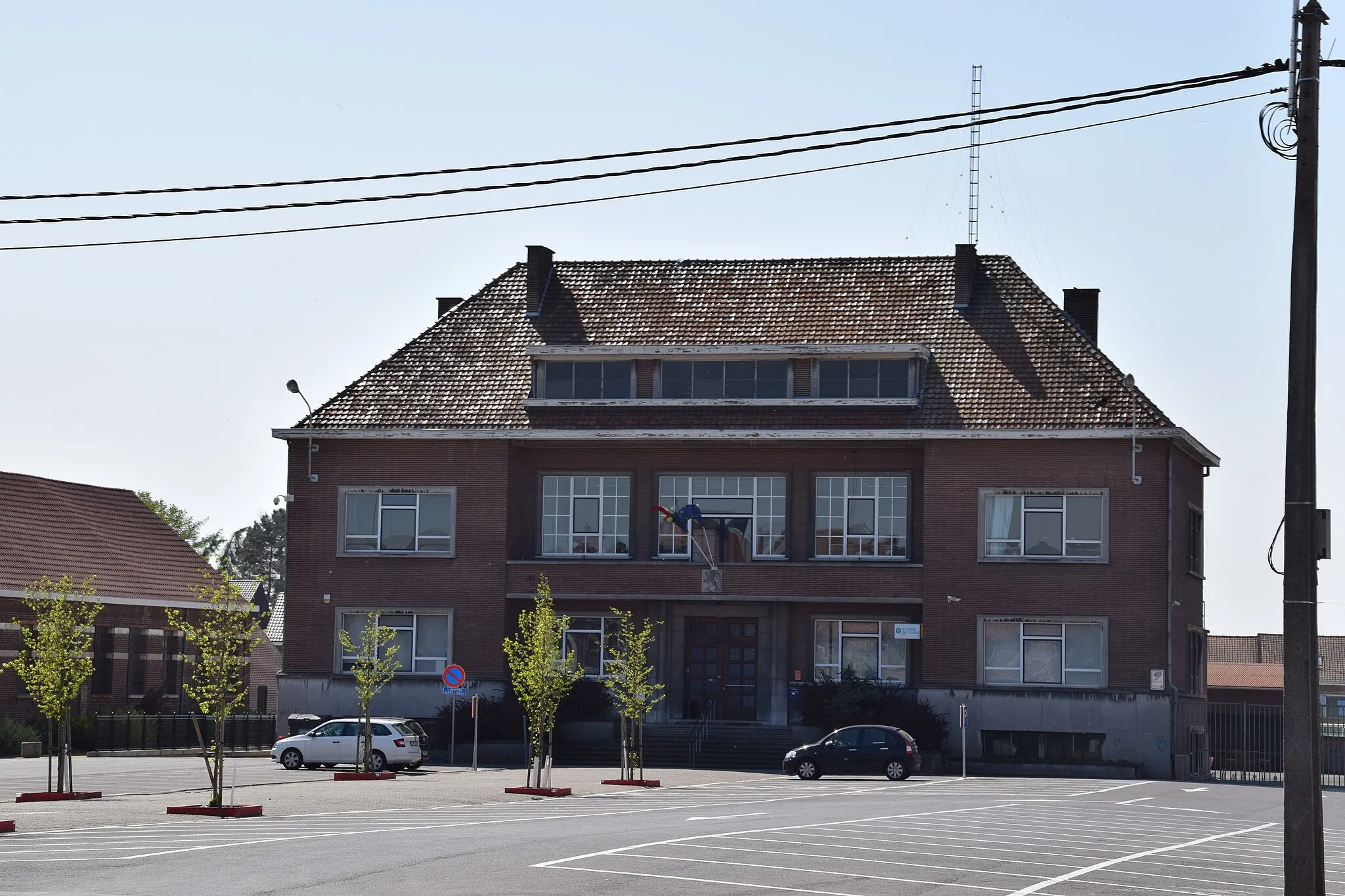
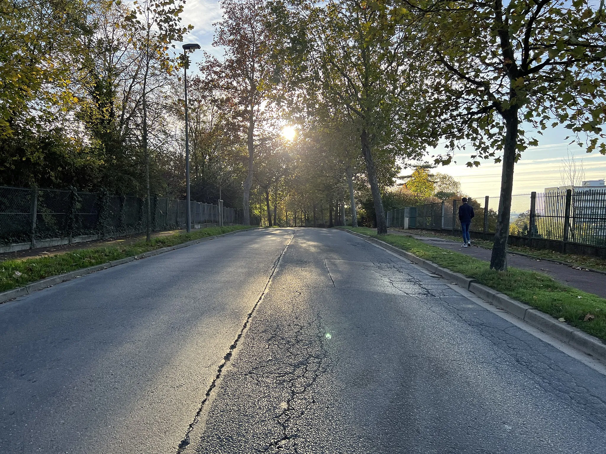
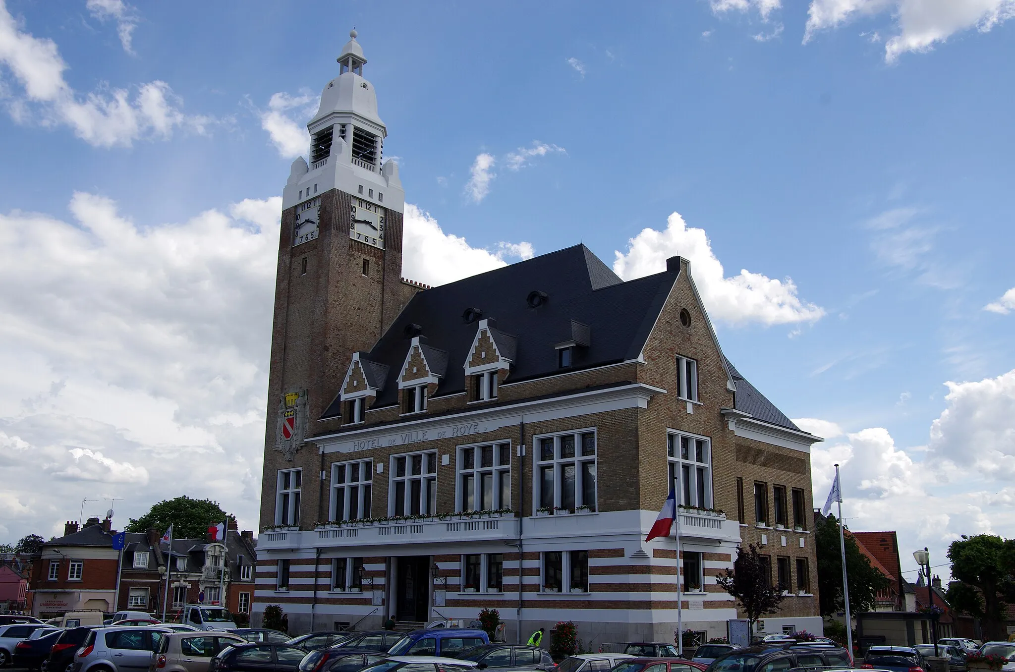
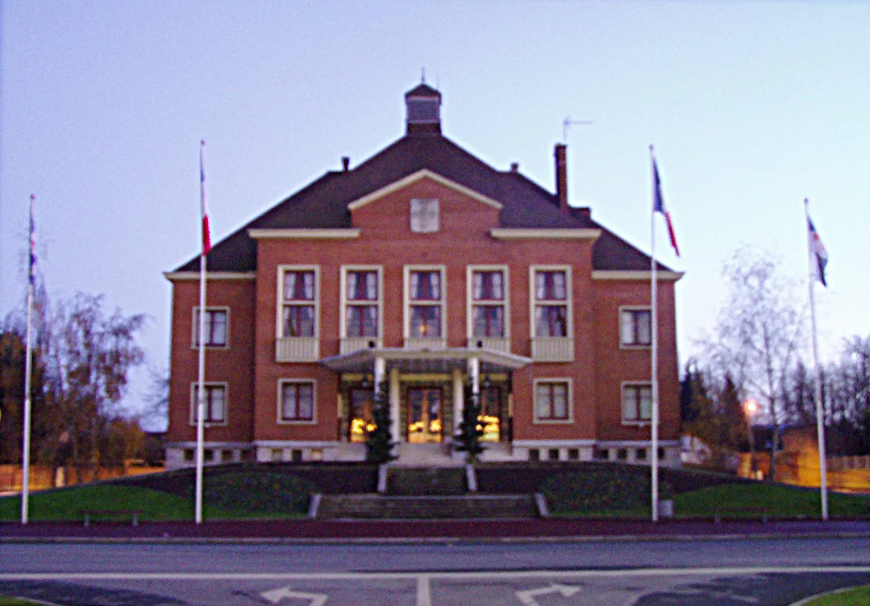
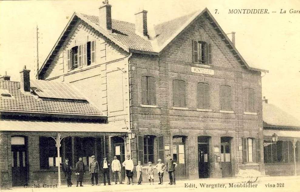
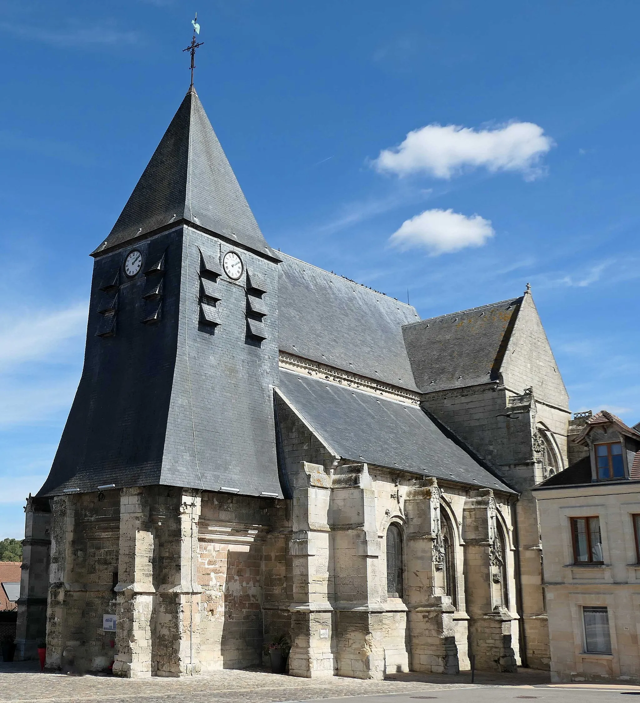
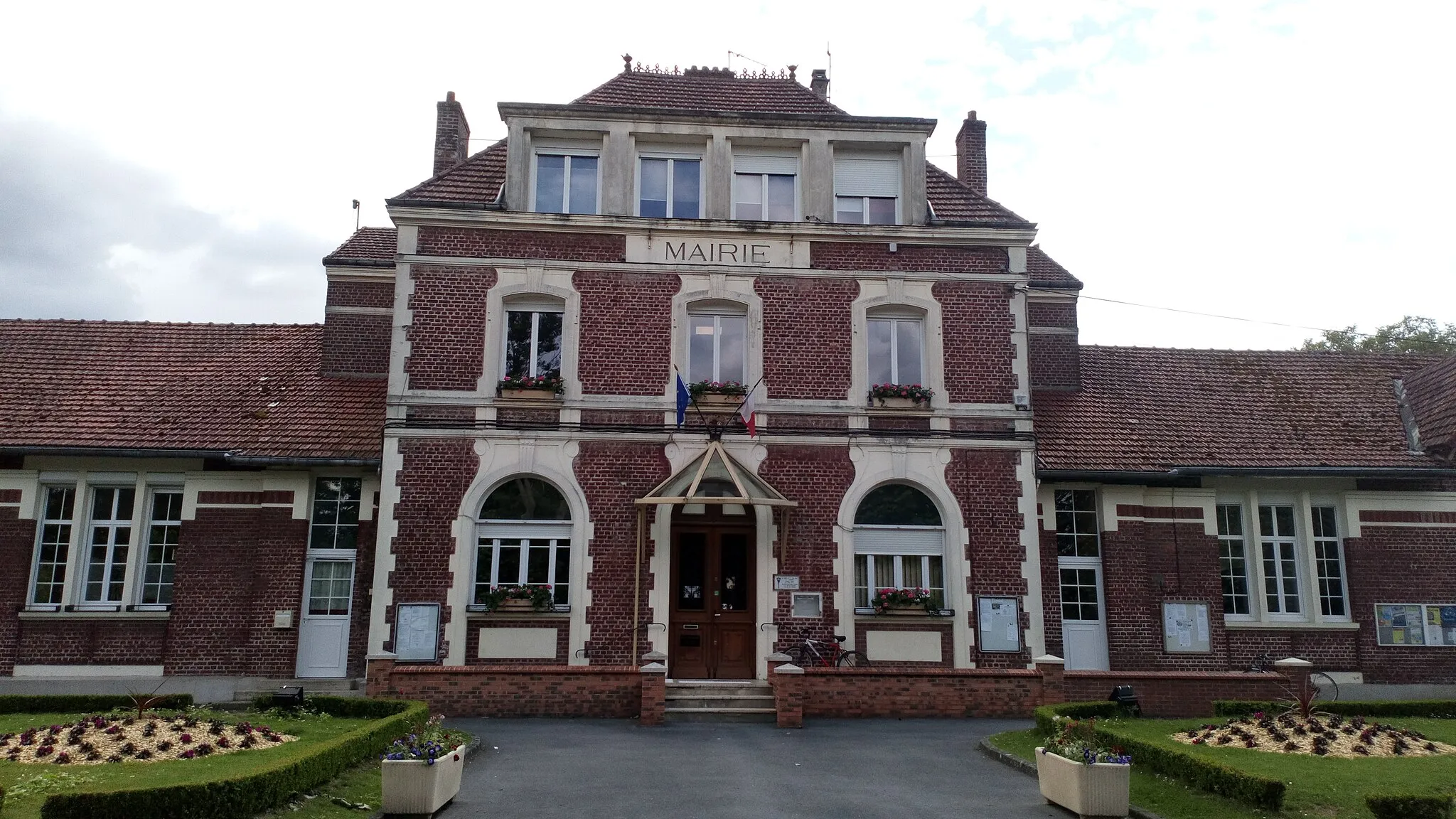
Roye is a locality located in the Picardie region of France. From a cyclist's perspective, Roye offers a mix of rural and suburban cycling routes. The area is known for its gentle rolling hills and charming countryside views. Cyclists can explore the quiet country roads and discover the beautiful villages and landmarks scattered throughout the region. There are no specific famous cycling spots or well-known climbs in Roye, but the peaceful and scenic routes make it an enjoyable destination for leisurely rides.
Embark on a relaxing road cycling journey through the picturesque countryside near Roye.
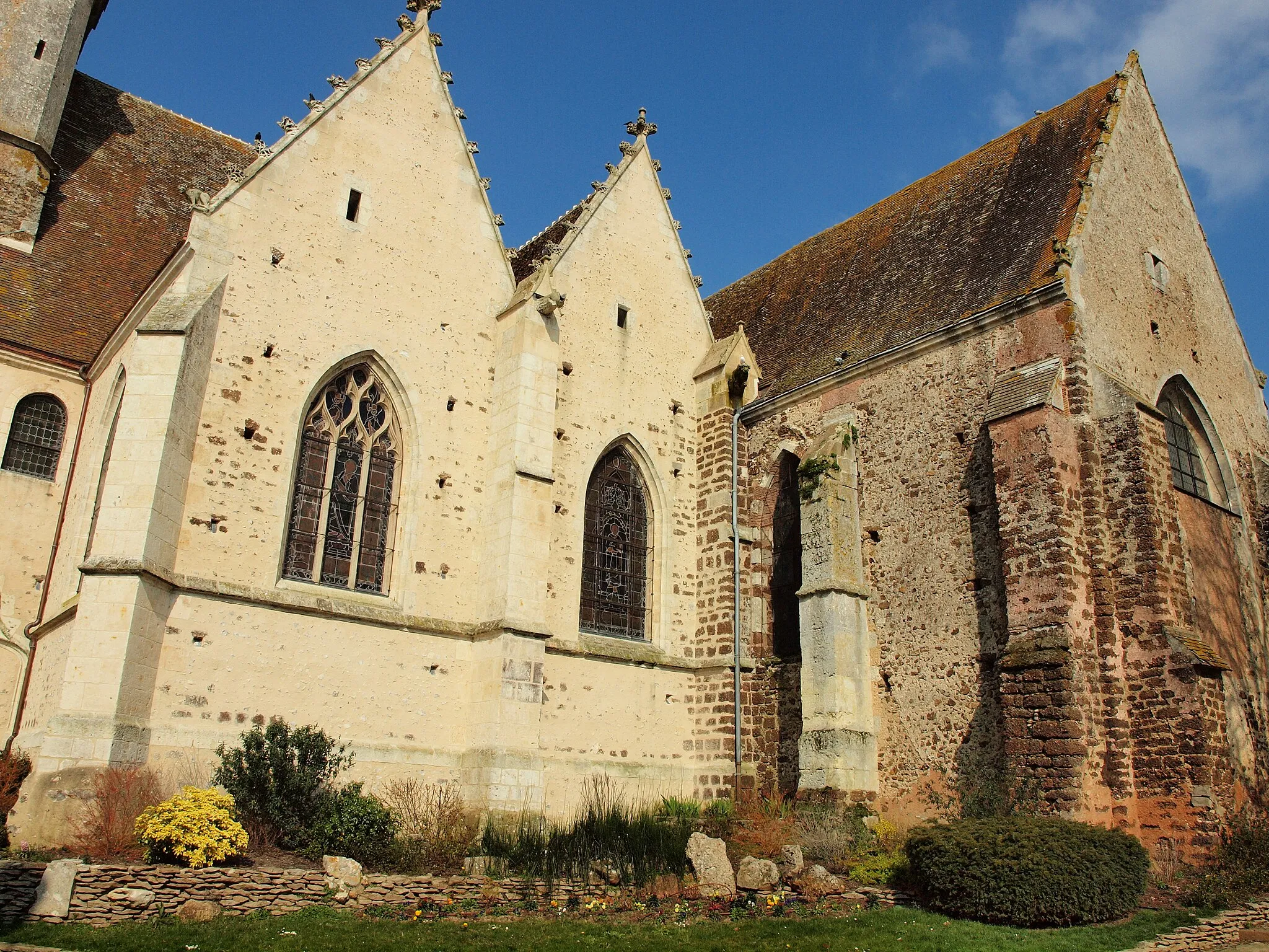
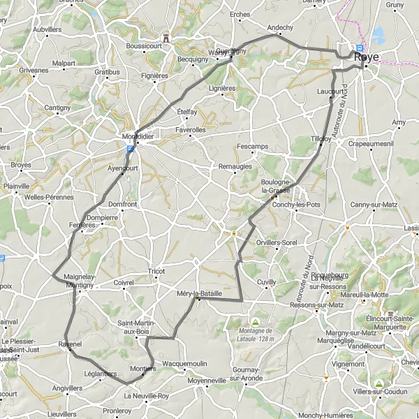
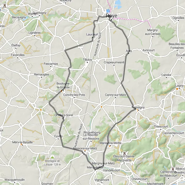
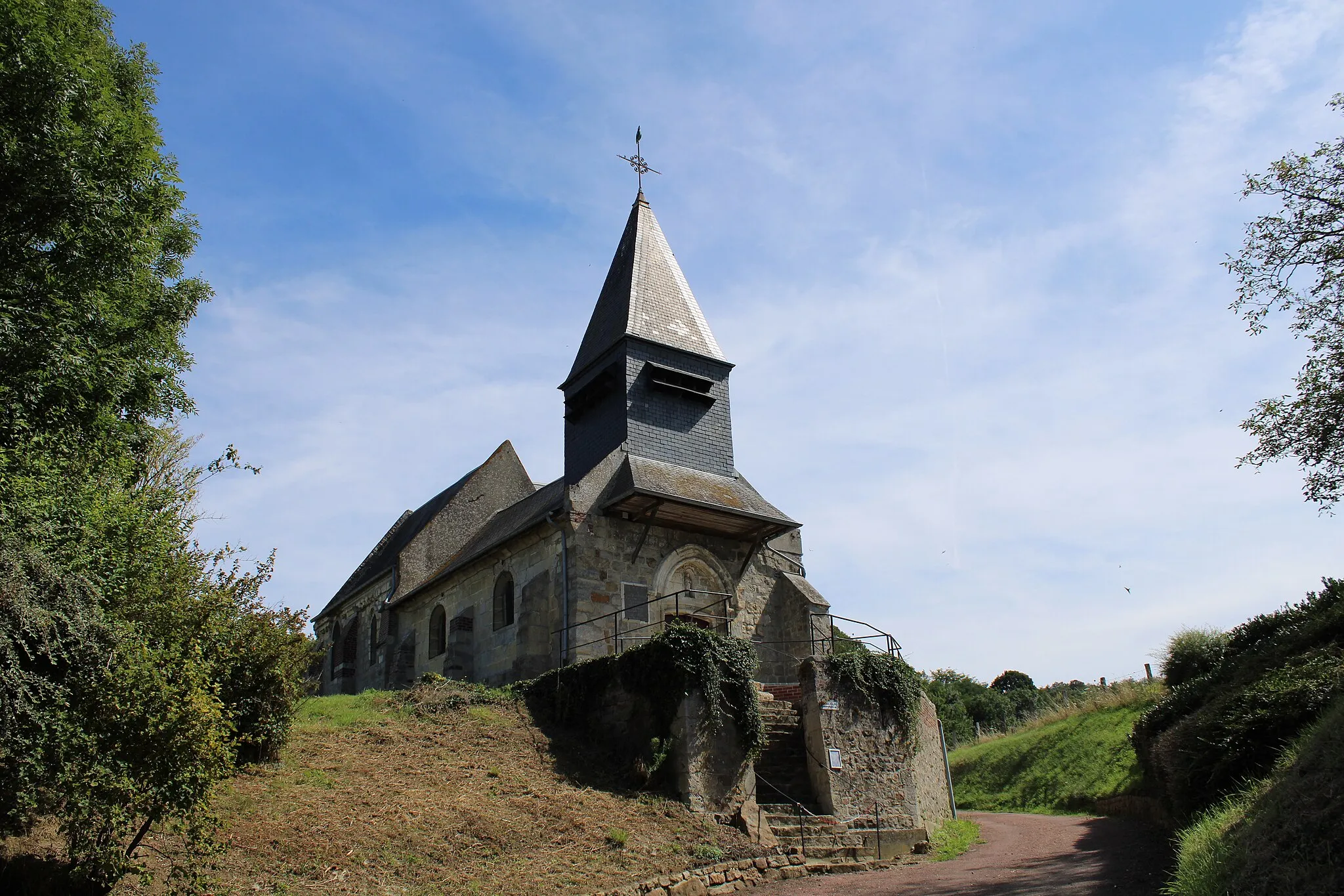
Escape the hustle and bustle of city life with the Countryside Escape route. With a distance of 79 kilometers and an ascent of 382 meters, this route offers a leisurely cycling experience suitable for all skill levels. As you pedal along the meandering country roads, you'll encounter highlights that showcase the beauty of the region. Explore the peaceful village of Boulogne-la-Grasse and its historic church, or take in the scenic views from Ménévillers. Crèvecœur-le-Petit offers a glimpse into medieval history with its castle ruins, while Guerbigny invites you to relax and enjoy the tranquil surroundings. Immerse yourself in the charm and serenity of the Picardie countryside on this delightful cycling adventure.
Embark on a thrilling gravel cycling adventure through the scenic landscapes surrounding Roye.
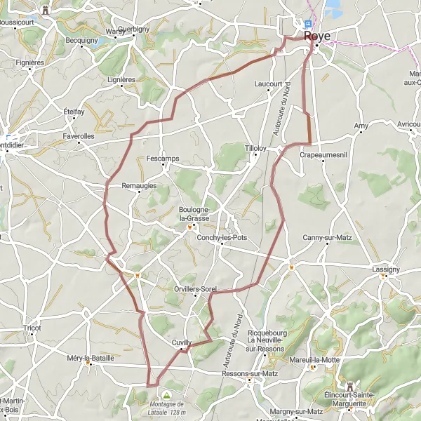
The Gravel Trails Expedition is a 52-kilometer route that will challenge your skills and endurance with an ascent of 243 meters. Suitable for adventurous cyclists, this route takes you off the beaten path and onto gravel trails that wind through idyllic countryside. Along the way, you'll encounter highlights such as Beuvraignes, a charming village known for its traditional architecture, and the beautiful Montagne de Lataule. Feel the thrill as you traverse the rugged terrain of Piennes-Onvillers, and take a moment to appreciate the tranquility of Marquivillers. This unique route offers a perfect blend of excitement and natural beauty.

Embark on a captivating cycling adventure on the Omiécourt loop.
With a total distance of 72 kilometers and an ascent of 206 meters, this road cycling route takes you through hidden gems and picturesque countryside. The route offers a moderate level of difficulty, making it suitable for well-trained amateurs. Explore charming villages and enjoy scenic views along the way.
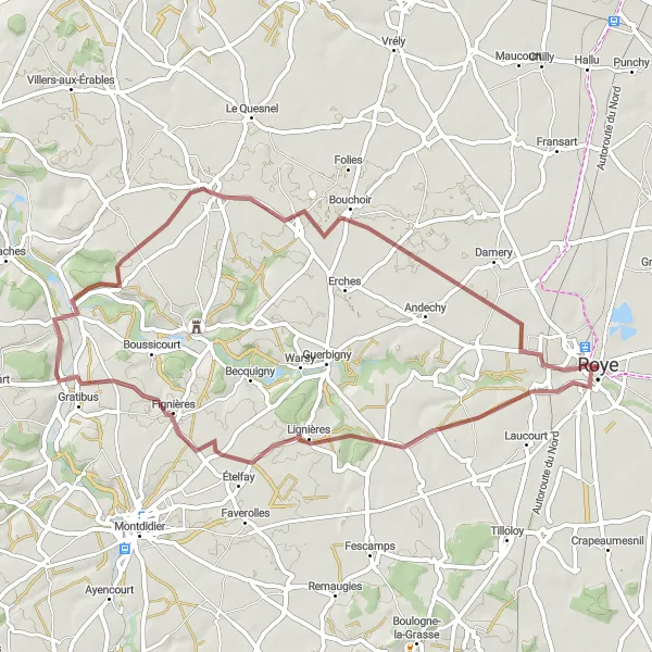
Embark on a thrilling gravel adventure from Roye to Bouchoir.
This gravel cycling route covers a distance of 51 kilometers with an ascent of 256 meters. Ideal for gravel enthusiasts, it combines off-road sections with scenic countryside views. The difficulty level is moderate, suitable for well-trained amateurs.
Discover the breathtaking scenery of Picardie on this captivating road cycling route.
Experience the beauty of Picardie on this 72-kilometer road cycling route with an ascent of 367 meters. The Exquisite Scenery Loop takes you through charming villages and picturesque landscapes that will leave you in awe. Start your journey in the quaint village of Champien and enjoy the stunning views from Beaulieu-les-Fontaines. As you continue, you'll pass by La montagne, offering a chance to immerse yourself in nature's wonders. Ribécourt-Dreslincourt invites you to explore its historic landmarks, while Vandélicourt captivates with its rural charm. Ride through Roye-sur-Matz and take a moment to appreciate the tranquility before ending your journey in Beuvraignes, a perfect place to relax and reflect on your cycling adventure.
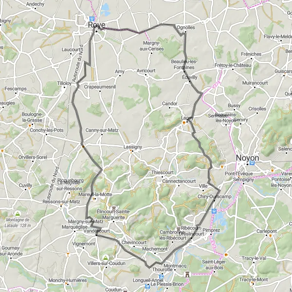
Embark on a challenging road cycling adventure through the hills and valleys near Roye.
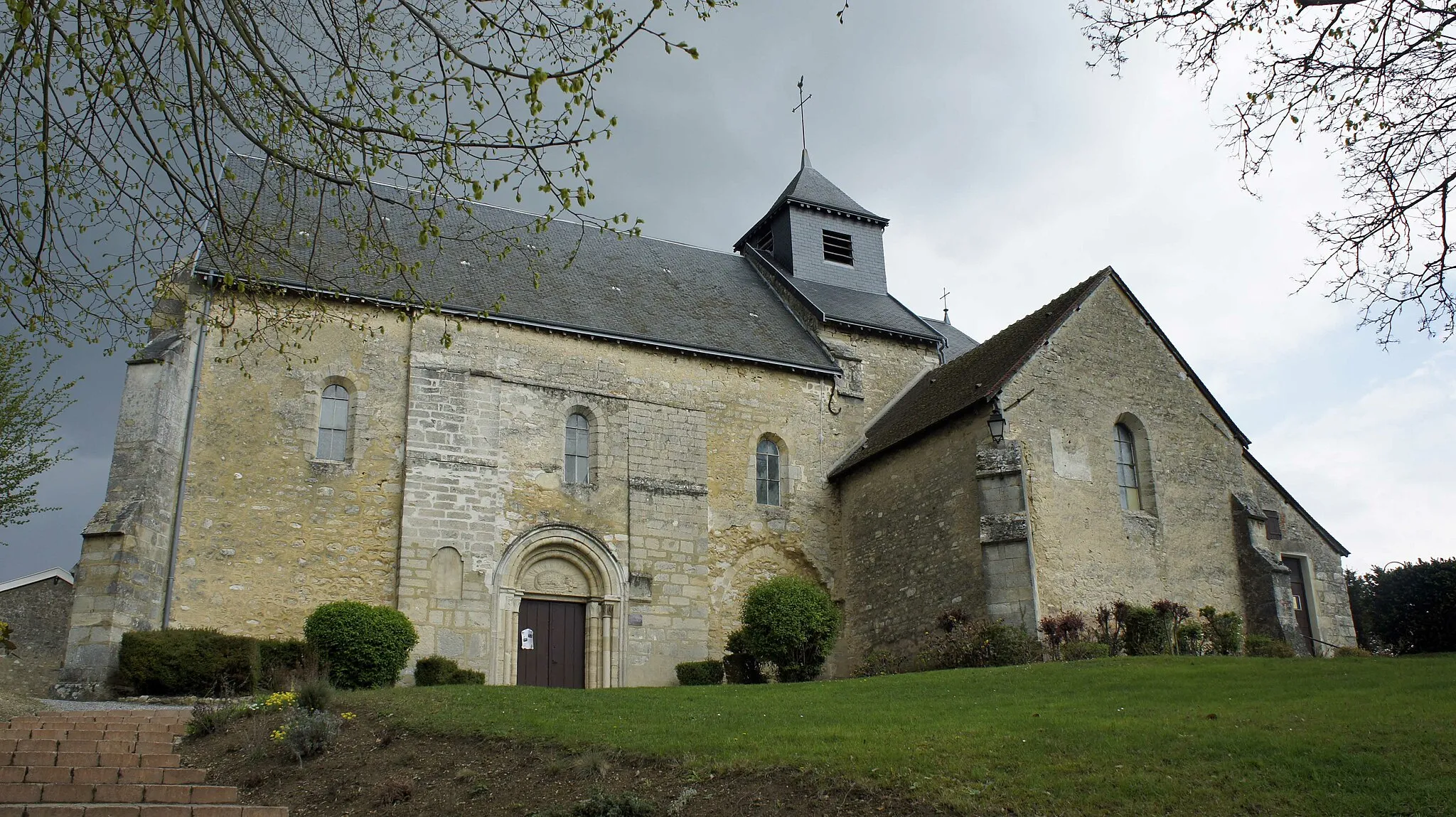
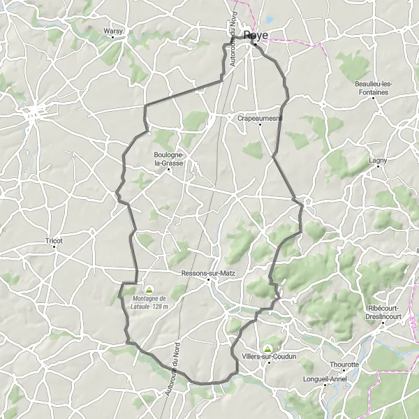
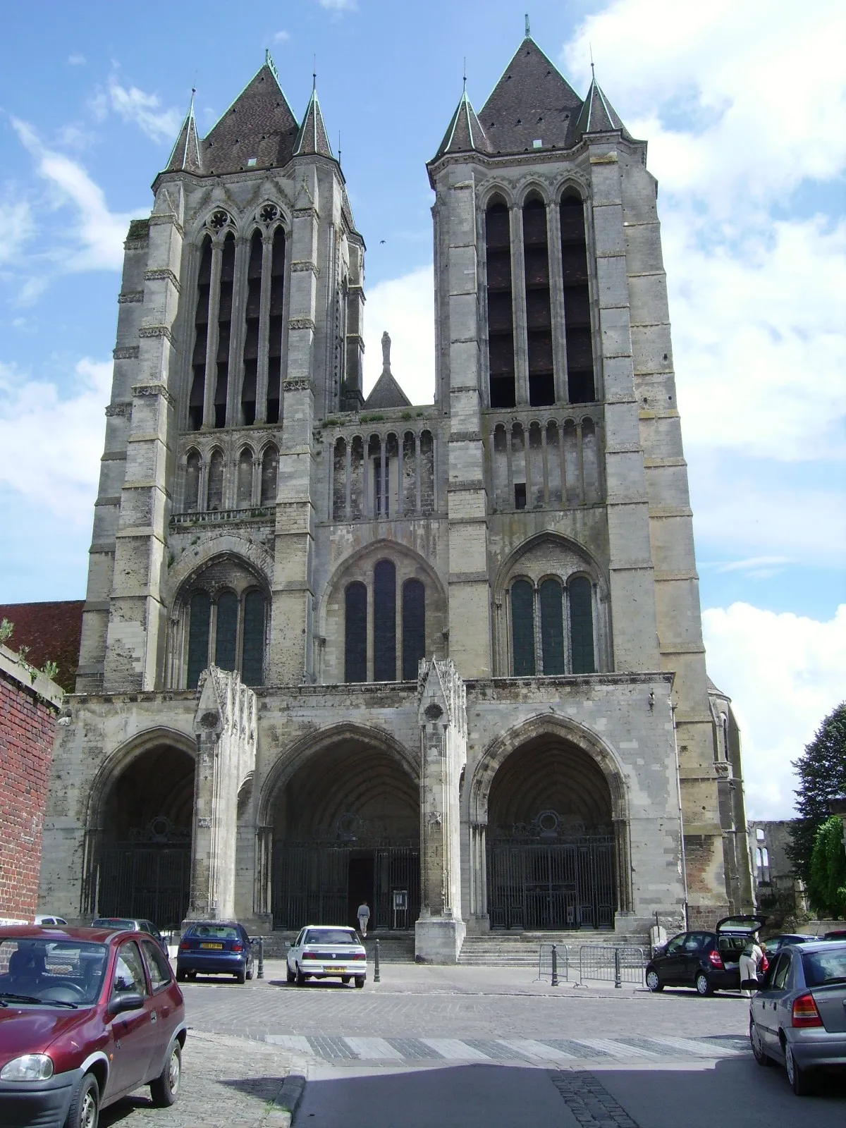
With 64 kilometers of exhilarating terrain and an ascent of 500 meters, the Hills and Valleys Loop is a thrilling route perfect for experienced cyclists. As you ascend and descend through the picturesque landscapes, you'll encounter several highlights that will leave you in awe. From the charming town of Margny-aux-Cerises to the impressive Montagne de Lagny, each stop offers a unique experience. Stop by Élincourt-Sainte-Marguerite to admire the remarkable Sainte-Marguerite church, and take in the panoramic views from Biermont. This route is guaranteed to challenge your physical abilities while providing breathtaking scenery along the way.
Roye to Verpillières Loop
Explore picturesque villages on this cycling route from Roye to Verpillières.
This loop takes you through charming villages and scenic landscapes, offering a delightful cycling experience. With a total ascent of 398 meters and a distance of 101 kilometers, it is a moderately challenging route suitable for well-trained amateurs. The route is primarily on paved roads, perfect for road cyclists.
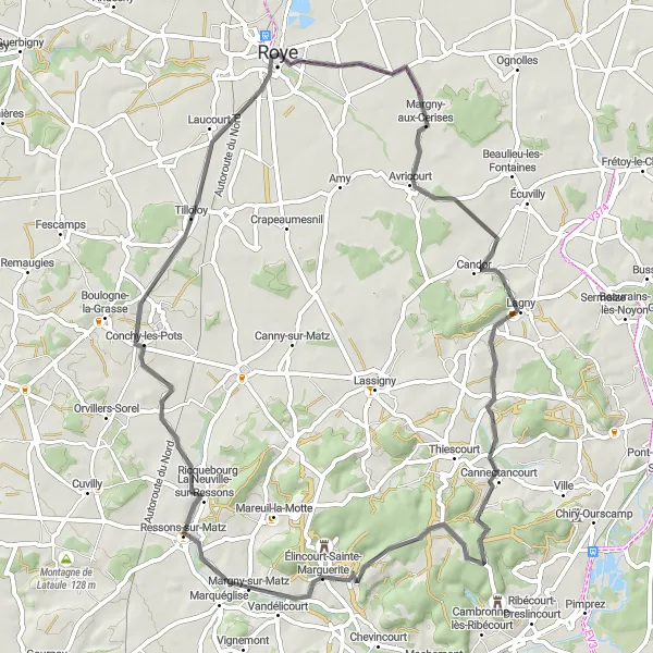
Immerse yourself in the picturesque Matz Valley on this cycling route from Roye to Laucourt.
With a total distance of 56 kilometers and an ascent of 261 meters, this road cycling route showcases the natural beauty of the Matz Valley. The scenic landscapes and charming villages along the way make it a delightful cycling experience. It is suitable for well-trained amateurs, offering a moderate level of difficulty.
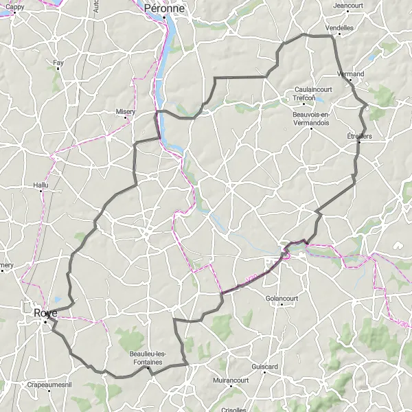
The Discover Picardie Route
Explore the historic towns and scenic landscapes of Picardie on this distinctive road cycling route.
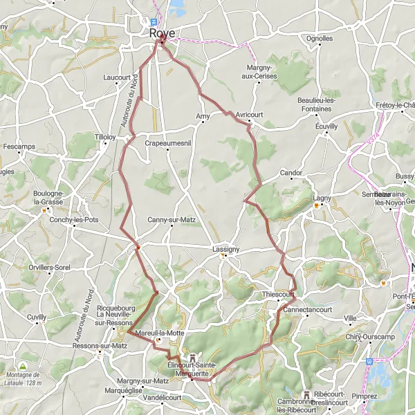
The Discover Picardie route takes you through picturesque towns and villages, offering a perfect blend of history and natural beauty. With a total distance of 73 kilometers and an ascent of 428 meters, this route is suitable for well-trained amateur cyclists. As you pedal along, you'll encounter several highlights, each with its own charm and appeal. From the quaint village of Fresnières to the stunning Montagne de la Somme d'Or, there's something for everyone to enjoy. Overall, this route provides a wonderful opportunity to immerse yourself in the rich culture and stunning landscapes of Picardie.
Embark on a challenging gravel cycling route from Roye to Beuvraignes.
This gravel route covers a distance of 54 kilometers with an ascent of 500 meters, offering a challenging adventure for gravel enthusiasts. With scenic countryside views and varied terrain, it is a thrilling experience. Suitable for well-trained amateurs, the difficulty level is moderate to high.
Cycling routes nearby:
Nearby regions: