Pedal through the charming landscapes of Poitou-Charentes in Dangé-Saint-Romain.
Cycling routes from Dange-Saint-Romain
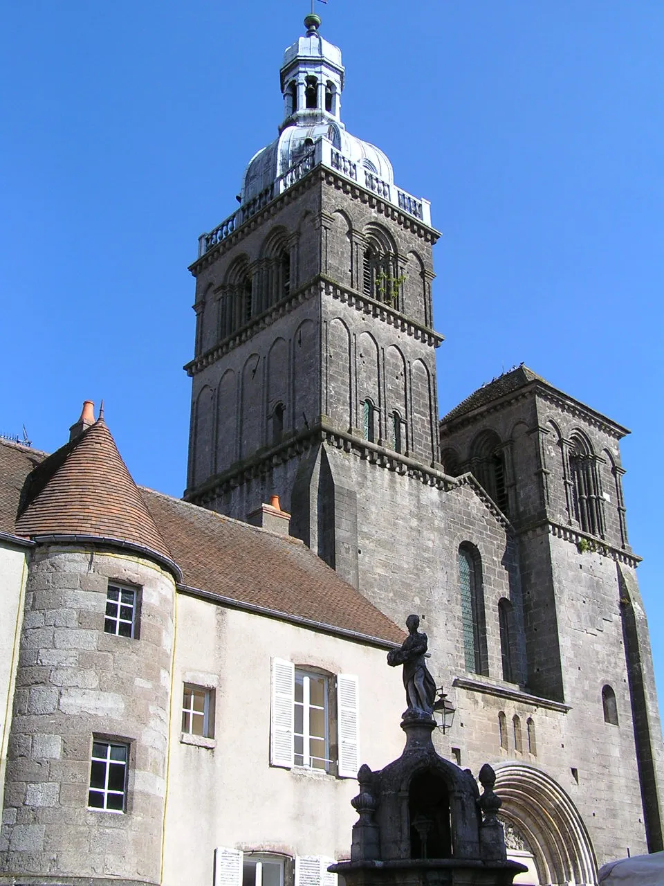
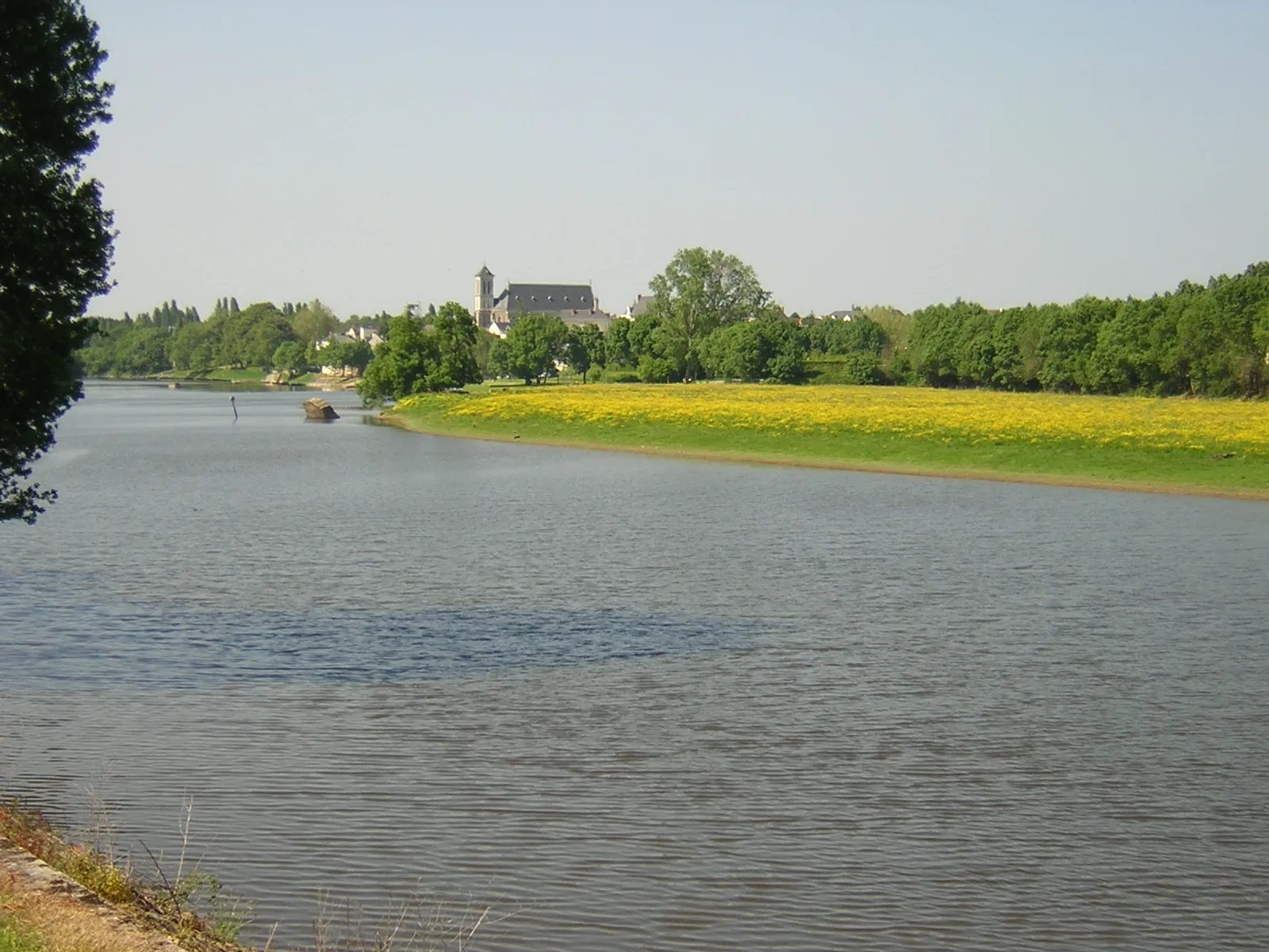
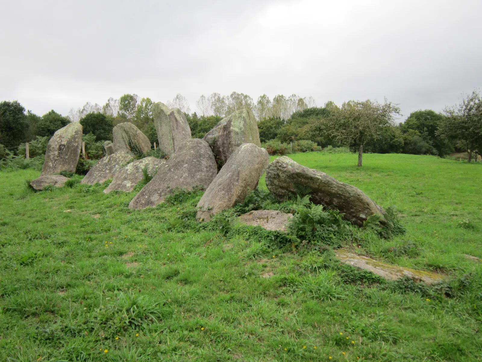
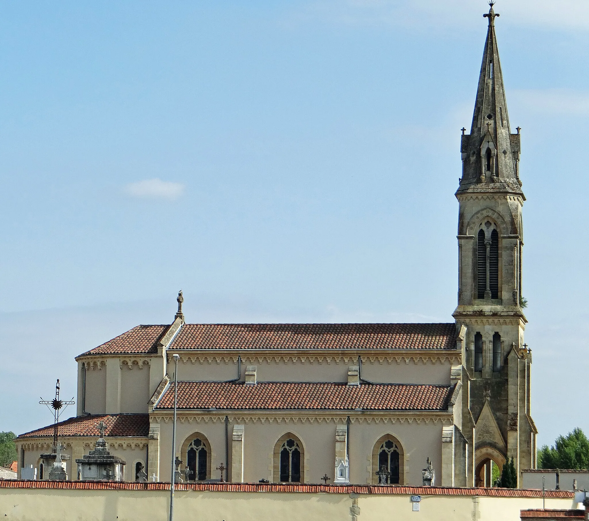
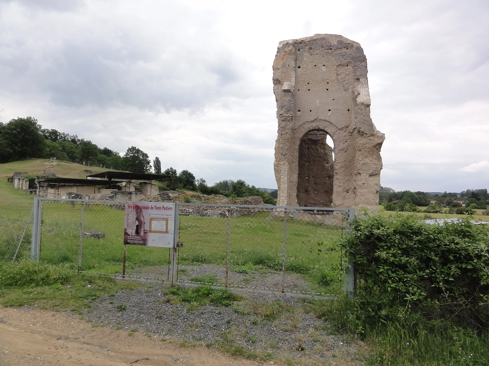
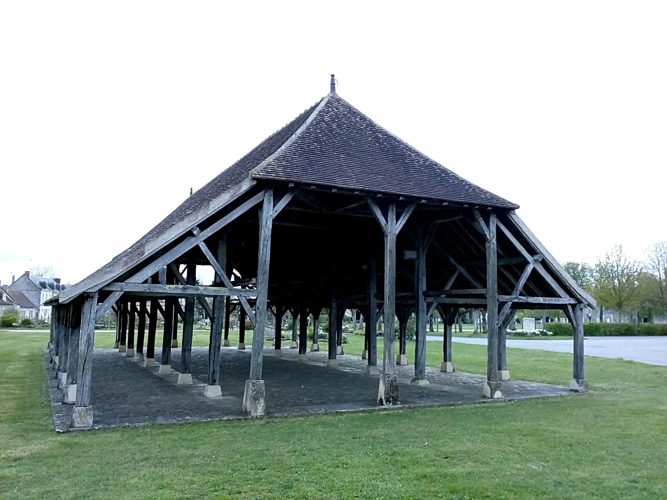
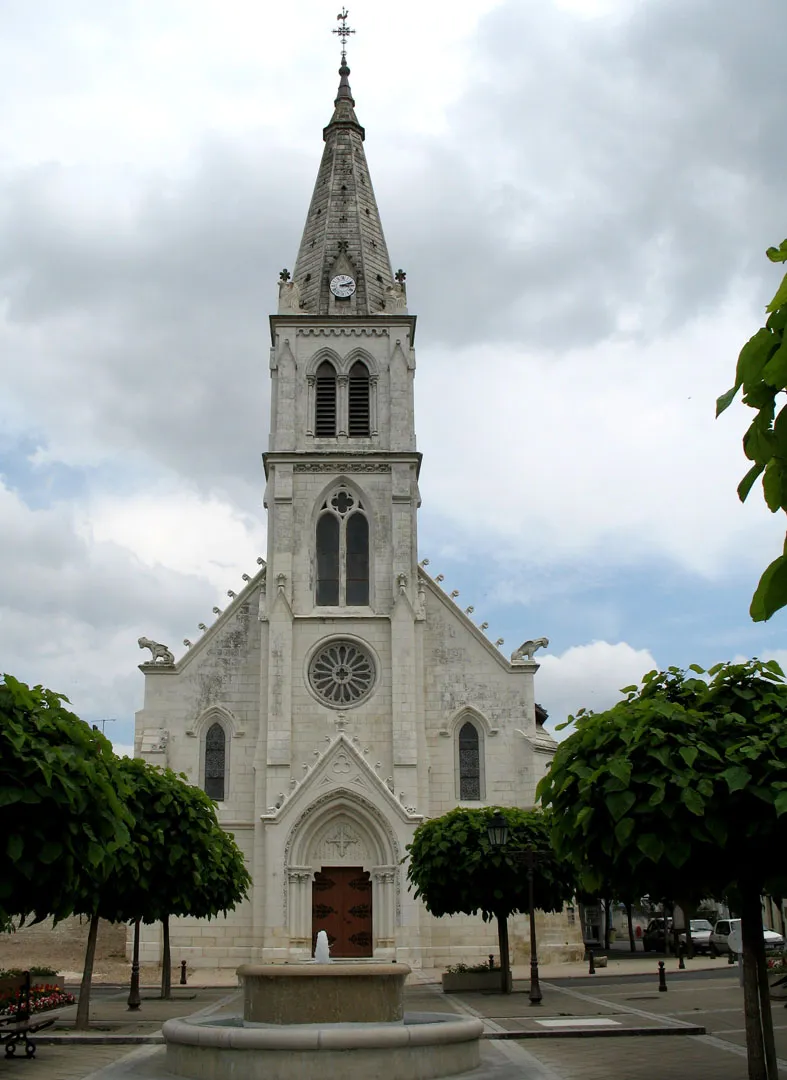
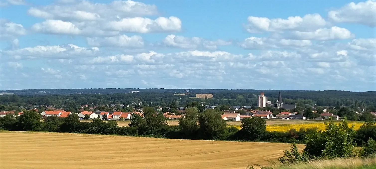
Dangé-Saint-Romain is a town located in the Poitou-Charentes region of France. The locality offers varied cycling terrain, including both flat stretches and hilly sections. There are no particularly famous cycling spots or well-known climbs nearby, but cyclists can enjoy riding through the picturesque countryside of Poitou-Charentes. Dangé-Saint-Romain provides a moderately enjoyable experience for road and gravel cyclists.
Discover the charm of medieval towns and breathtaking countryside on this road cycling route
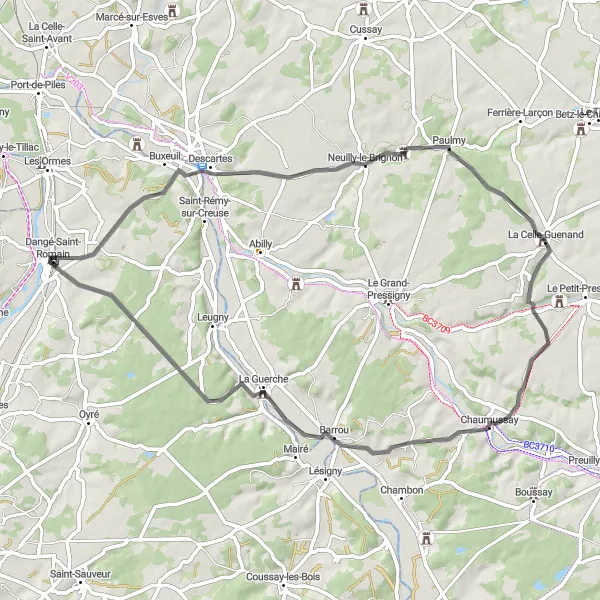
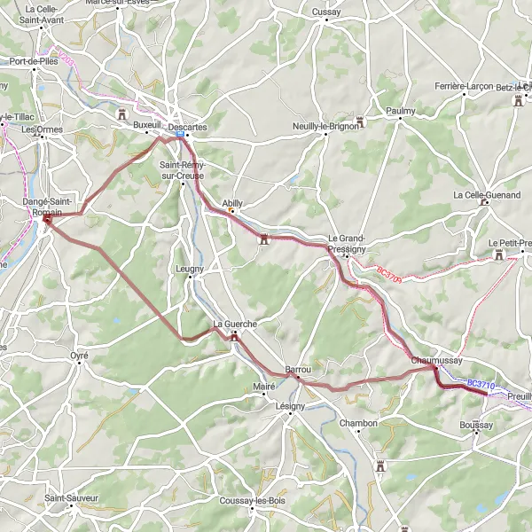
Experience the beauty of Poitou-Charentes on this road cycling route. Starting near Dangé-Saint-Romain, you'll ride through picturesque towns like Descartes and Barrou, immersing yourself in the region's rich history and stunning natural landscapes. With an ascent of 549 meters and a distance of 62 kilometers, this route is suitable for experienced cyclists looking for a slightly challenging ride. Along the way, enjoy scenic views, visit medieval landmarks, and take in the tranquility of the countryside.

Experience a challenging road cycling route with breathtaking scenery and historic sites
Get ready for an unforgettable road cycling experience through the beautiful landscape of Poitou-Charentes. Starting near Dangé-Saint-Romain, this 123-kilometer route takes you through picturesque towns like Descartes and La Puye. With a challenging ascent of 835 meters, this route is suitable for experienced cyclists seeking a physical and scenic adventure. As you ride, enjoy breathtaking views, immerse yourself in the historical charm of the region, and appreciate the serenity of the countryside.

A short ride exploring the enchanting countryside near Dangé-Saint-Romain
Enjoy a leisurely ride exploring the beautiful countryside near Dangé-Saint-Romain. This 45-kilometer road route has a total ascent of 369 meters, making it an ideal option for less experienced cyclists. As you cycle through Vaux-sur-Vienne and Mondion, you'll be captivated by the scenic views and peaceful atmosphere. The difficulty level of this route is rated 2, suitable for casual riders. Though shorter in distance, this route still offers highlights such as the Château de la Motte, a historic castle worth a stop. The epicness rating of this route is 2, as it provides a pleasant cycling experience without extreme challenges.
Dangé-Saint-Romain Circuit
Cycle through the picturesque countryside on a circuit from Dangé-Saint-Romain
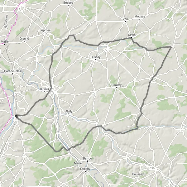
Experience the beauty of the Poitou-Charentes countryside on a cycling circuit from Dangé-Saint-Romain. This 85-kilometer road route with a total ascent of 621 meters offers stunning views and charming villages along the way. Highlights include Civray-sur-Esves, Esves-le-Moutier, La Celle-Guenand, and the medieval town of La Guerche. Suitable for well-trained amateur cyclists, this route is rated a 3 in difficulty. The epicness rating is 3, ensuring an enjoyable and scenic journey. Take your time to admire the enchanting landscapes and immerse yourself in the rich history of the region.
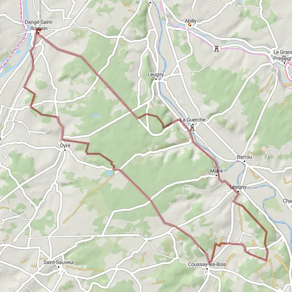
Embark on a gravel adventure from Dangé-Saint-Romain to Saint-Romain
Get off the beaten track and embark on a gravel adventure from Dangé-Saint-Romain to Saint-Romain. This 50-kilometer route with a total ascent of 414 meters offers a mix of scenic landscapes and challenging terrain. Suitable for gravel bike enthusiasts, this route will take you through Coussay-les-Bois and Oyré, with highlights including the tranquil village of La Guerche. With a difficulty rating of 4, this route is best suited for well-trained amateurs seeking an off-road cycling challenge. The epicness rating is 3, as it offers unique and beautiful surroundings to explore.
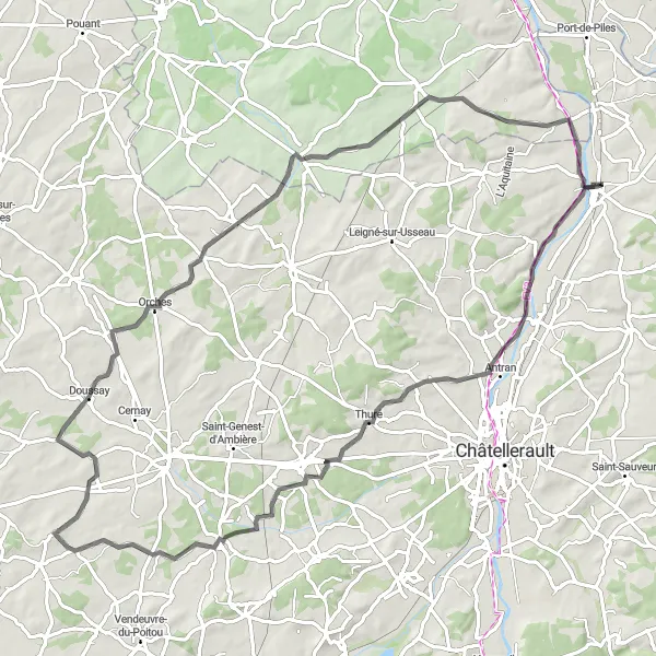
Embark on a scenic road cycling adventure through picturesque towns along the way
Discover the beauty of the Poitou-Charentes region on this road cycling route. Starting near Dangé-Saint-Romain, you'll ride through charming towns like Antran and Doussay, offering panoramic views and cultural attractions. With an ascent of 461 meters and a distance of 87 kilometers, this route is suitable for experienced cyclists looking for a moderate challenge. Along the way, you'll pass by historic sites, local vineyards, and peaceful countryside.

Explore the scenic countryside on this road cycling route through quaint towns and historic sites
Embark on a scenic road cycling journey through the charming countryside of Poitou-Charentes. This 71-kilometer route starts near Dangé-Saint-Romain and takes you through picturesque towns like Cenon-sur-Vienne and Mondion. With an ascent of 530 meters, this route is suitable for experienced cyclists looking for a moderate challenge. Along the way, enjoy breathtaking views, explore historic sites, and soak in the tranquility of the region's rural landscapes.

Embark on a grand tour through the scenic Poitou-Charentes region
Embark on an unforgettable cycling adventure through the scenic Poitou-Charentes region. This 132-kilometer road route with a total ascent of 709 meters will take you through picturesque towns, charming villages, and breathtaking landscapes. Highlights of this epic route include Port-de-Piles, Villeperdue, Sorigny, and Courçay, among others. With a difficulty rating of 4, this route is best suited for well-trained amateur cyclists seeking a challenging journey. The epicness rating is set at 4, as it offers a true exploration of the region's beauty and cultural richness.
Dangé-Saint-Romain to La Guerche

Ride through the scenic countryside towards La Guerche
Explore the beautiful Poitou-Charentes region as you cycle from Dangé-Saint-Romain to La Guerche. This 113-kilometer road route offers stunning views of rolling hills, charming villages, and picturesque landscapes. With a total ascent of 749 meters, this route is moderately challenging and suitable for well-trained amateur cyclists. Discover highlights such as Buxeuil, Ligueil, Perrusson, and Le Petit-Pressigny along the way. The overall epicness of this route is rated 3, making it an enjoyable and memorable cycling experience.
Explore the scenic countryside of Poitou-Charentes on this off-road adventure
This gravel route takes you on a picturesque journey through the stunning countryside of Poitou-Charentes. Starting near Dangé-Saint-Romain, you will pass by charming villages like Saint-Rémy-sur-Creuse and Barrou, offering a glimpse into the rural beauty of the region. With a moderate ascent of 352 meters and a distance of 60 kilometers, this route is suitable for cyclists with some off-road experience. Along the way, you'll enjoy serene landscapes, historic sites, and peaceful country roads.
Cycling routes nearby:


Nearby regions: