Tranquil rural cycling in Montbron's breathtaking landscapes
Cycling routes from Montbron
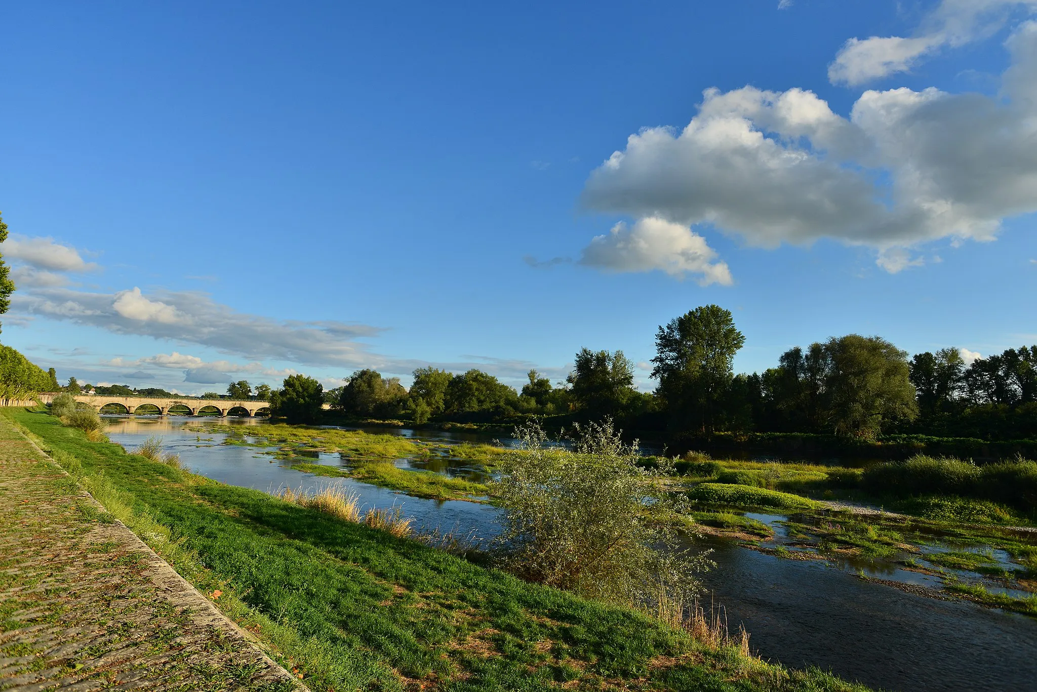
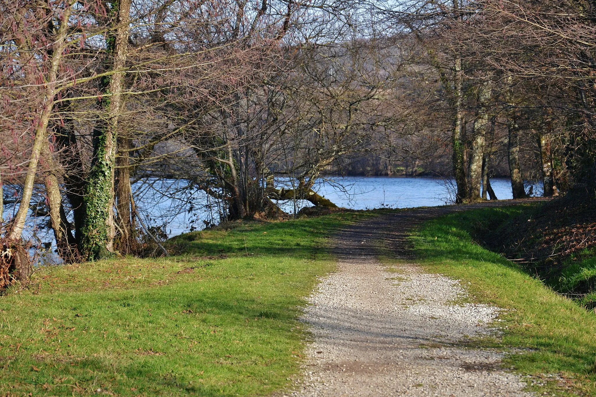
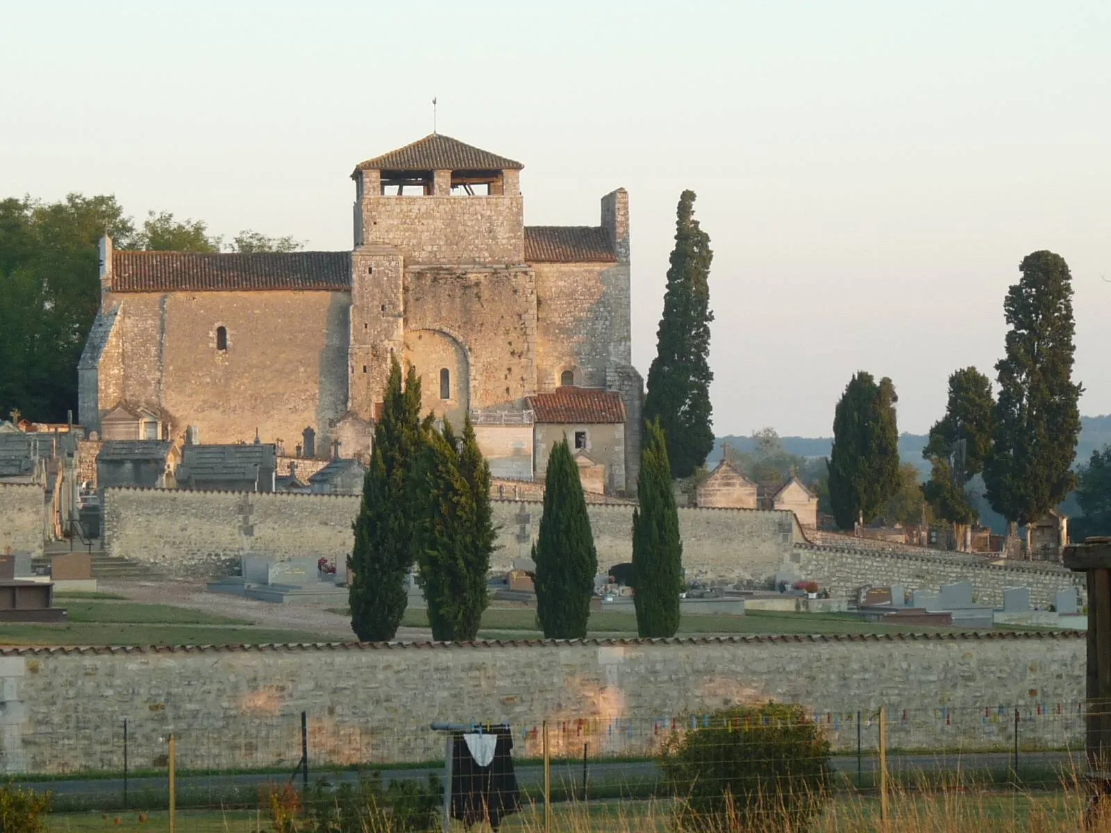
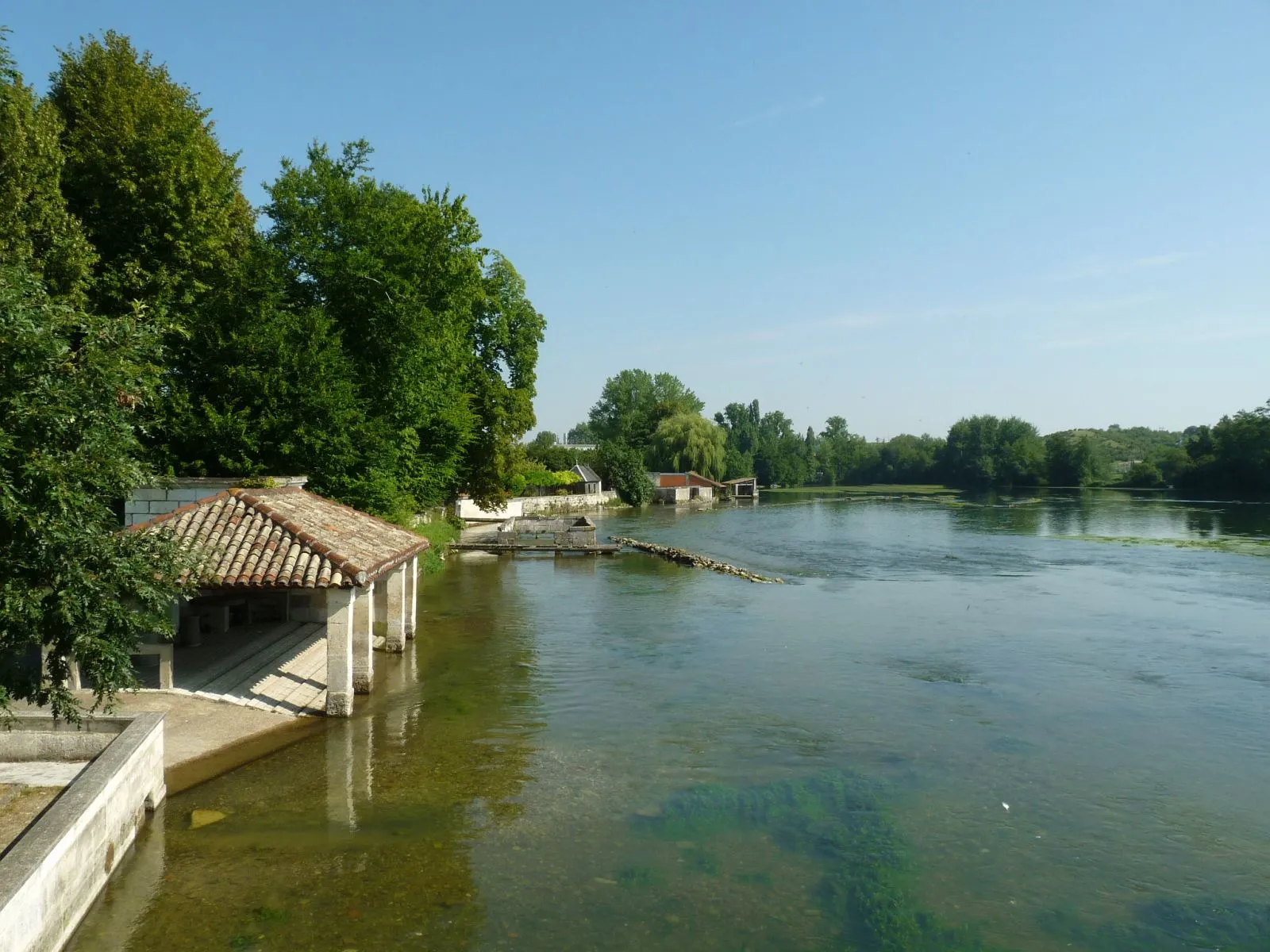
Montbron, found in the Poitou-Charentes region of France, provides cyclists with a peaceful rural setting. The locality offers gentle rolling hills and quiet roads, ideal for leisurely cycling or exploring the surrounding countryside. While Montbron may not be famous for cycling, its tranquility and charming landscapes make it a hidden gem for those seeking a peaceful ride.
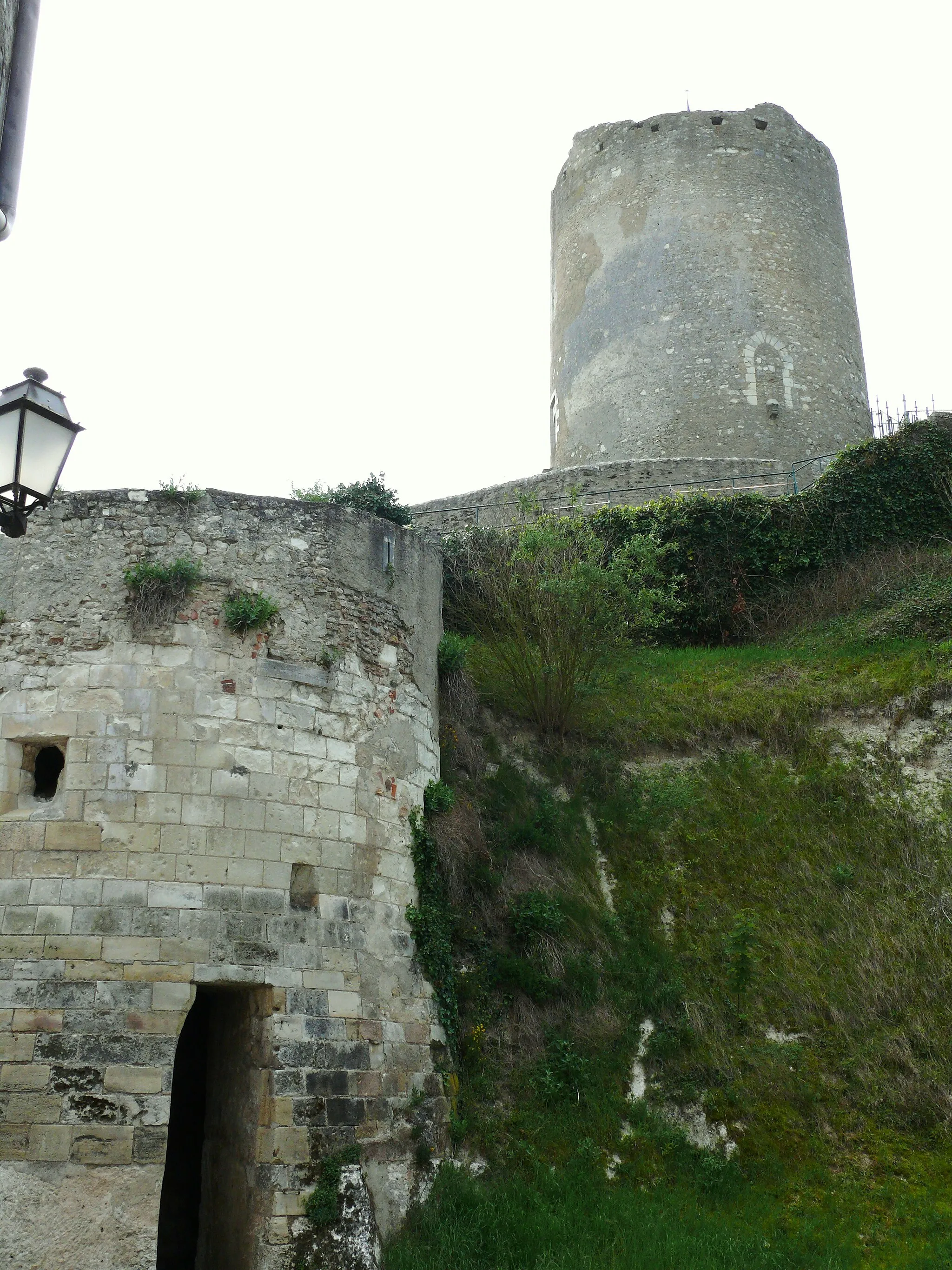
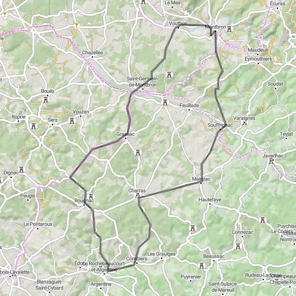
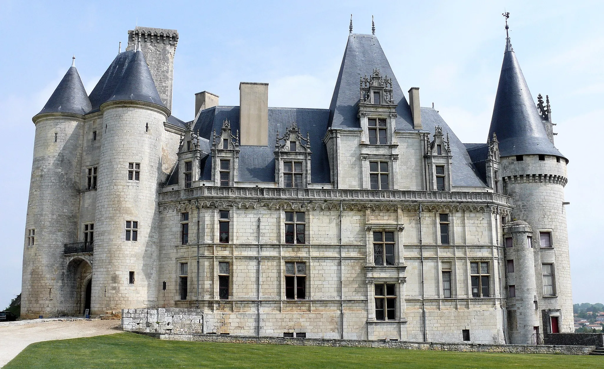
Discover scenic landscapes and visit the historic Château de la Tranchade
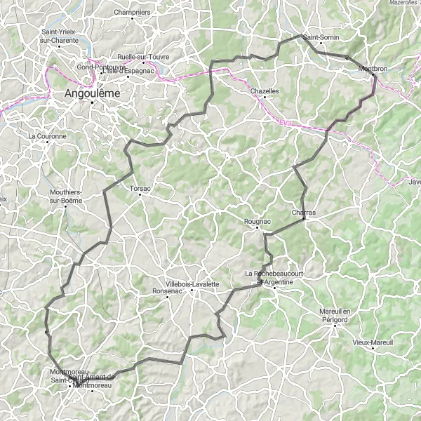
Embark on a thrilling cycling journey from Montbron to Saint-Sornin and experience the beautiful natural surroundings and fascinating historical sites of the region. This route showcases picturesque villages, charming rural roads, and challenging uphill sections, making it a great choice for cycling enthusiasts seeking adventure and history along the way. With a total distance of 121 kilometers and an ascent of 1,407 meters, this road cycling route provides a challenging yet rewarding experience for riders. Enjoy the highlights of Grassac, Blanzaguet-Saint-Cybard, Vaux-Lavalette, Chadurie, and the majestic Château de la Tranchade.
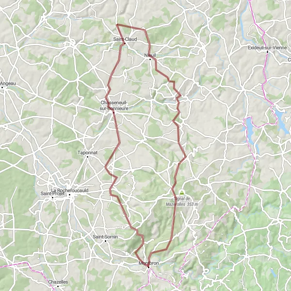
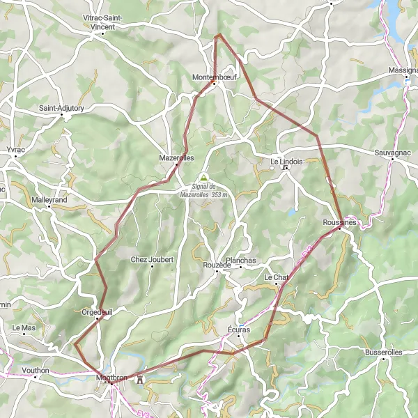
Embark on a gravel adventure exploring the hidden gems of Orgedeuil and Ferrières Castle
Discover the idyllic countryside of Poitou-Charentes with this gravel cycling route that covers a distance of 72 kilometers and an ascent of 930 meters. Perfect for gravel bike enthusiasts, this trail offers a combination of rural roads, scenic paths, and intriguing historical stops. Cyclists can enjoy picturesque views, charming villages, and the chance to explore fascinating highlights along the route. Highlights include Orgedeuil, Chasseneuil-sur-Bonnieure, Saint-Claud, Cherves-Châtelars, and the remarkable Château de Ferrières.
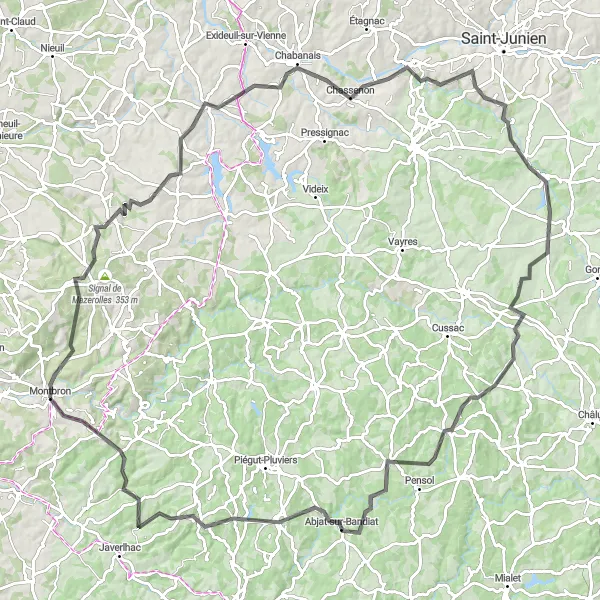
Journey through stunning landscapes and charming villages of Champniers-et-Reilhac and Marval
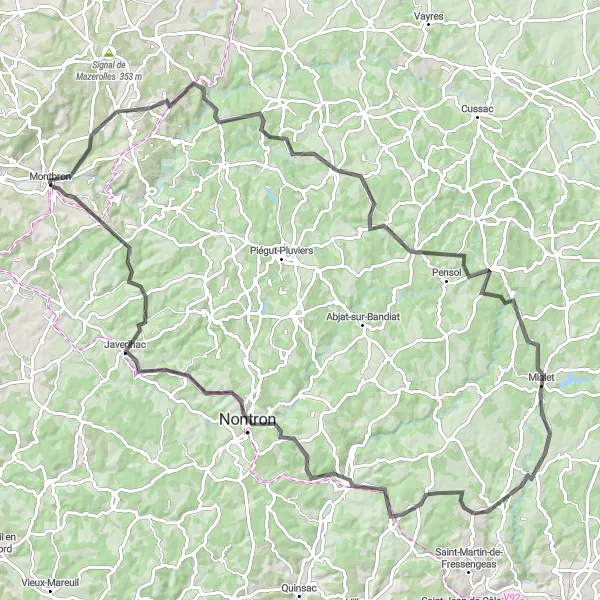
Immerse yourself in the beauty of rural Poitou-Charentes with this road cycling route that spans 114 kilometers and features an ascent of 1,640 meters. From the starting point in Rouzède to the final destination of Eymouthiers, this route takes cyclists through breathtaking landscapes, quiet roads, and picturesque villages that epitomize the charm of the region. With highlights such as Champniers-et-Reilhac, Marval, Saint-Jory-de-Chalais, Saint-Pardoux-la-Rivière, and Saint-Martin-le-Pin, riders will discover the distinct character and mesmerizing scenery of each place along the way.
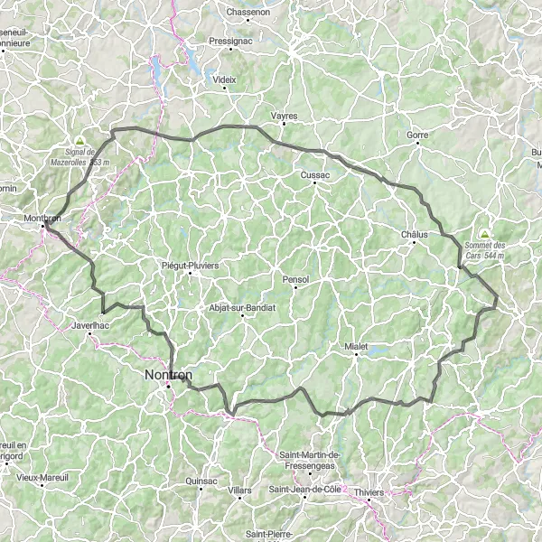
Embark on an exciting gravel adventure in the Charente region
Experience the thrill of off-road cycling with the Gravel Adventure in the Charente route. Covering a distance of 84 kilometers, this gravel route offers a challenging ascent of 1018 meters. Get ready to explore the rugged terrain and hidden gems of the region.
Discover the charming town of Rochechouart and more
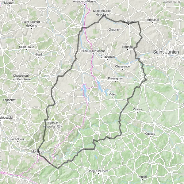
The Rochechouart Discovery route takes you on a captivating journey through the picturesque landscapes and historic towns of Montbron. Covering a distance of 123 kilometers, this road cycling route offers a challenging ascent of 1790 meters. The highlight of this route is the enchanting town of Rochechouart, with its impressive château and stunning views.
Experience the peaceful countryside of Montbron
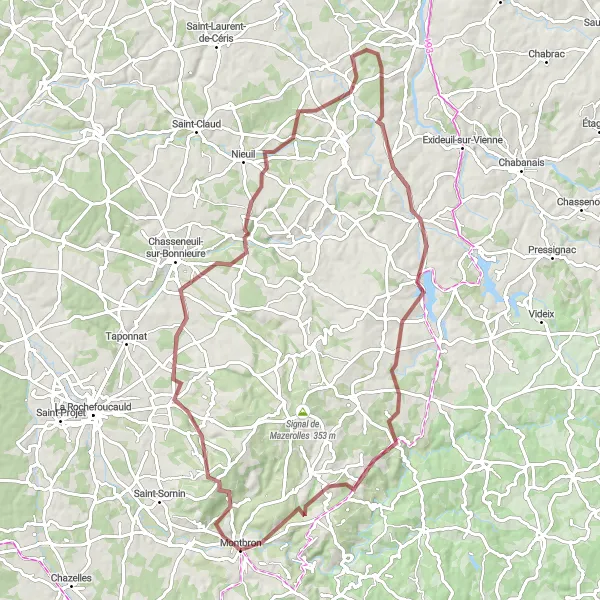
The Montbron Countryside Tour is a 52-kilometer road cycling route that takes you through the peaceful and picturesque landscapes of Montbron. With a moderate difficulty level, this route offers 611 meters of ascent, making it suitable for amateur cyclists with some training. Highlights along the route include the charming village of Mainzac and the historic town of Saint-Sornin.
Explore the enchanting villages of Orgedeuil and Écuras on this gravel trail
Embark on a thrilling gravel adventure in Poitou-Charentes with this 43-kilometer route, encompassing an ascent of 662 meters. The trail takes riders through the mesmerizing countryside and charming villages of the region, providing a unique and immersive cycling experience. Highlights along the route include Orgedeuil, Montembœuf, Écuras, and the vibrant Faubourg Saint-Marice. With peaceful landscapes, scenic views, and the opportunity to explore enchanting historical landmarks, this gravel trail will surely fulfill any gravel cycling enthusiast's expectations.
Château Route
Discover the beauty of Château de Mavaleix and more
Embark on a picturesque journey through the Château Route, covering a distance of 141 kilometers. This road cycling route offers a challenging ascent of 1736 meters, making it suitable for experienced cyclists. The highlight of this route is the majestic Château de Mavaleix, which offers breathtaking views and a glimpse into the rich history of the region.
Challenge yourself with a demanding route exploring unique highlights along the way
Embark on an epic cycling journey from Montembœuf to Soudat, covering a distance of 129 kilometers and conquering an ascent of 1,794 meters in total. This challenging road cycling route is perfect for experienced riders seeking a thrilling adventure and the opportunity to explore captivating highlights across Poitou-Charentes. Highlights along the way include Montembœuf, Suris, Chabanais, Saillat-sur-Vienne, Saint-Auvent, La Chapelle-Montbrandeix, Augignac, and Soudat, each offering its own unique experiences and breathtaking views. From the 15th kilometer mark to the final stop, riders will witness stunning landscapes, historic landmarks, and the true essence of rural France.
Explore the picturesque countryside of Souffrignac
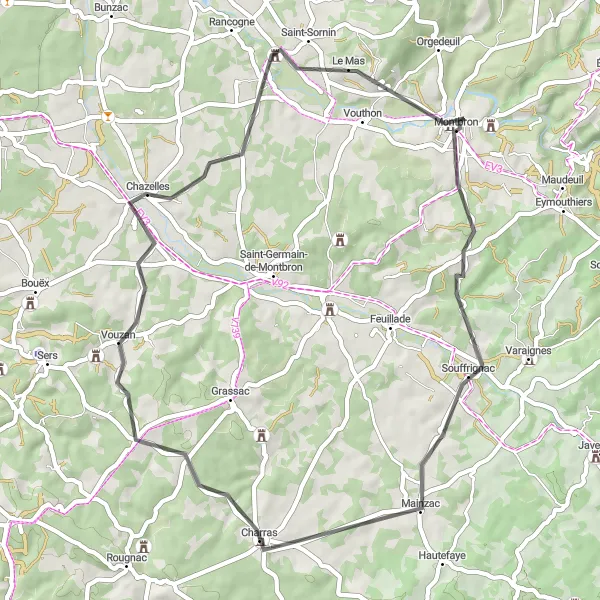
The Souffrignac Loop takes you on a scenic journey through the beautiful countryside of Montbron. With a total distance of 61 kilometers, this road cycling route offers a moderate challenge with 658 meters of ascent. The highlight of this route is the charming village of Souffrignac, where you can immerse yourself in the traditional French way of life.
Cycling routes nearby:


Nearby regions: