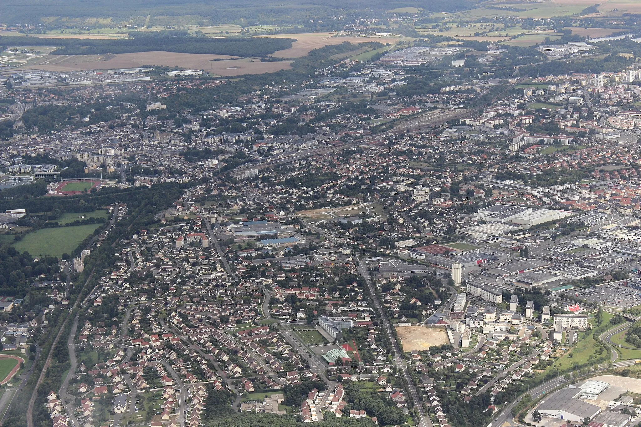
Tranquil countryside rides in Poitou-Charentes.
Cycling routes from Saint-Georges-les-Baillargeaux
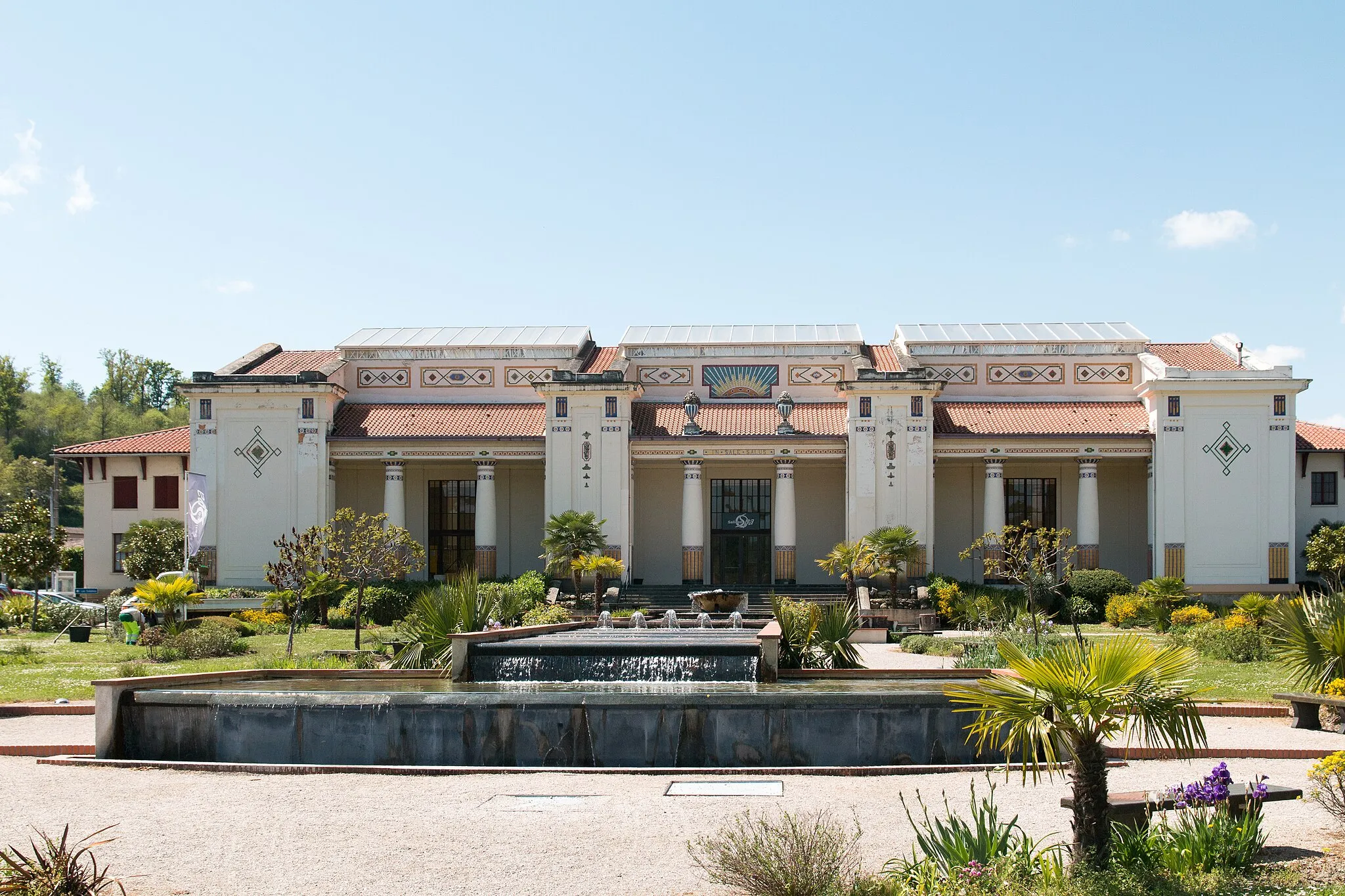
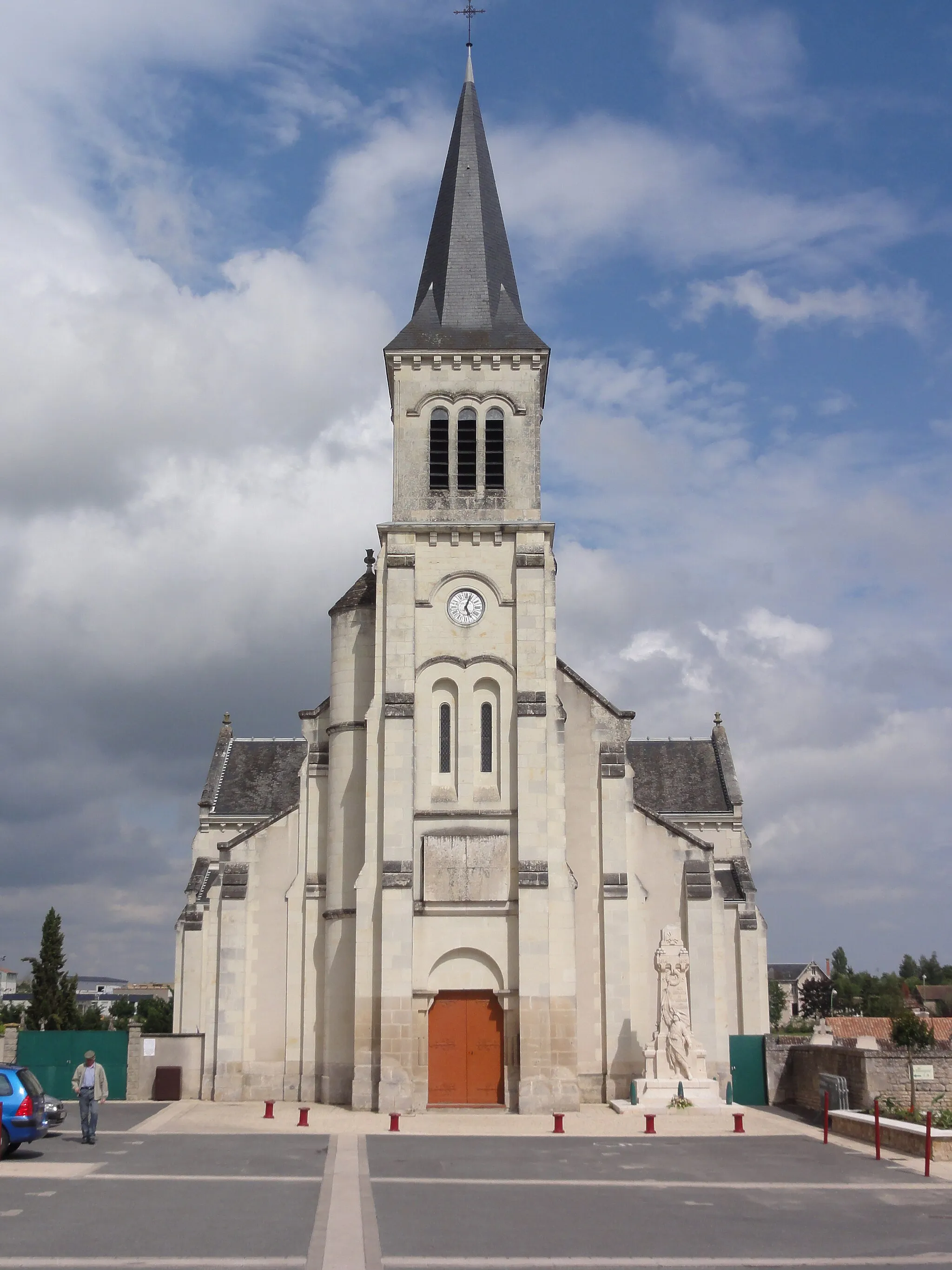
Saint-Georges-lès-Baillargeaux, located in Poitou-Charentes, France, offers a pleasant cycling experience for both road and gravel cyclists. The locality is characterized by its rolling hills and peaceful countryside routes. Cyclists can explore the picturesque landscapes and charming small towns in the region. While there are no famous cycling spots nearby, Saint-Georges-lès-Baillargeaux is a great starting point for riders looking to explore the beautiful Vienne River Valley or venture into the nearby forests. With its tranquil ambiance and scenic routes, Saint-Georges-lès-Baillargeaux is suitable for cyclists seeking a peaceful and enjoyable ride.
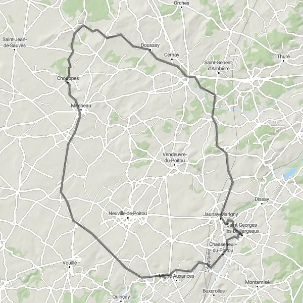
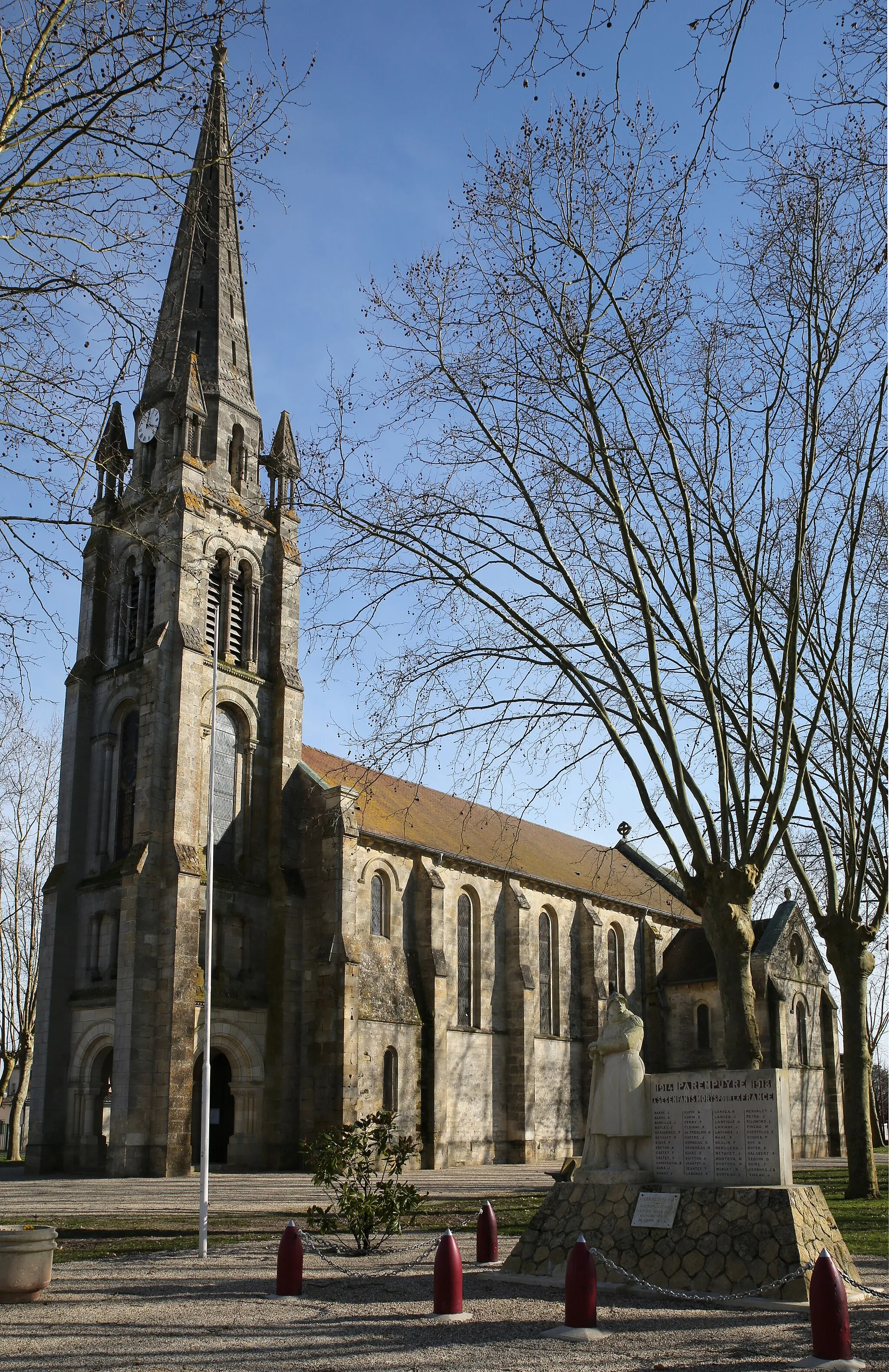
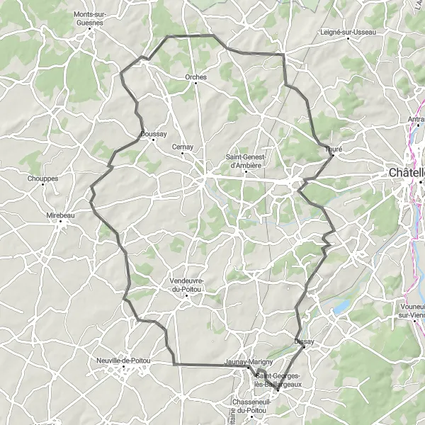
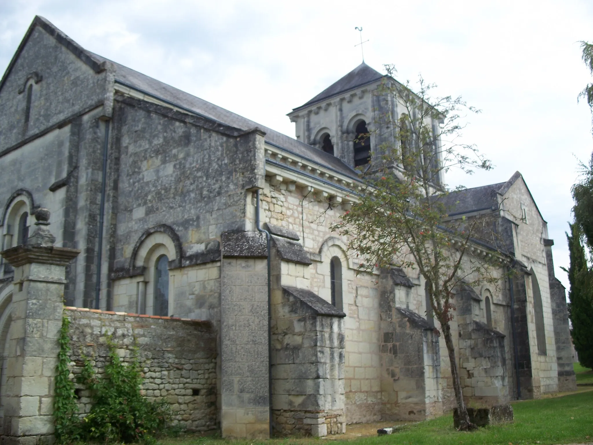
Experience the charming town of Migné-Auxances on this road cycling route.
This road cycling route starting near Saint-Georges-lès-Baillargeaux takes you through picturesque countryside and charming towns. The route includes a total ascent of 523m over a distance of 82km. It is suitable for well-trained amateurs with a difficulty rating of 3 and offers a moderate level of epicness with a rating of 2. Starting from Saint-Georges-lès-Baillargeaux, you will pass through Migné-Auxances, Amberre, Doussay, and Ouzilly, providing plenty of opportunities for scenic stops along the way.
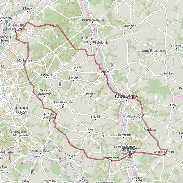
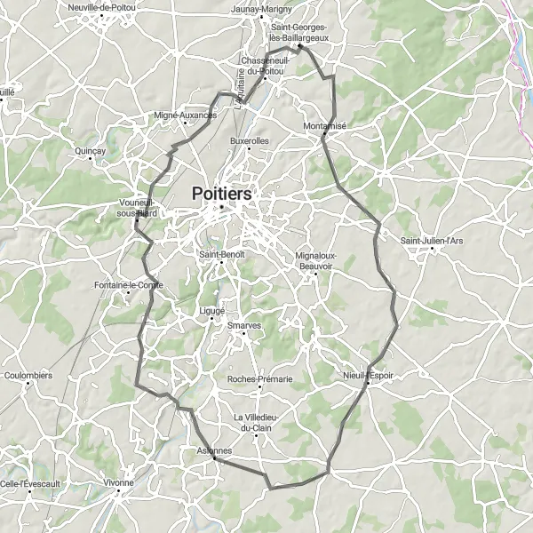
Explore the historic town of Chauvigny on this gravel route
This gravel route takes you through the beautiful countryside surrounding the historic town of Chauvigny. With a total ascent of 607 meters and a distance of 86 kilometers, this route is recommended for experienced riders who enjoy challenging gravel terrain. Take some time to explore the medieval architecture and visit the famous Les Géants du Ciel bird show.

Embark on a gravel adventure through the scenic landscapes near Saint-Georges-lès-Baillargeaux.
Experience the thrill of gravel cycling on this adventure starting near Saint-Georges-lès-Baillargeaux. With a total ascent of 540m over a distance of 79km, this gravel route is suitable for well-trained amateurs with a difficulty rating of 3. It offers a moderate level of epicness with a rating of 2. Starting from Saint-Georges-lès-Baillargeaux, you will pass through Vouneuil-sur-Vienne, La Puye, Bonnes, and return to your starting point.
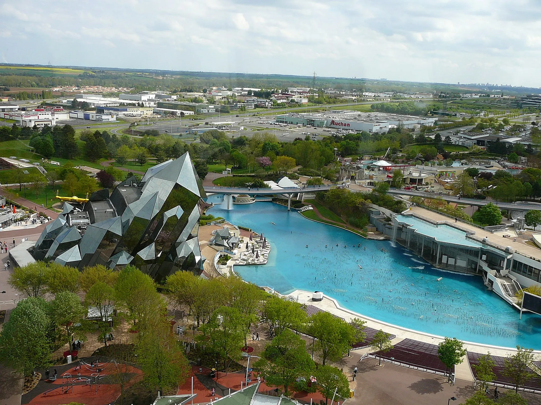
A challenging road route with an exciting climax at Danse avec les Robots
This road route will test the skills of experienced riders with its challenging climbs and fast descents. The highlight of the route is Danse avec les Robots, a famous cycling spot loved by enthusiasts. With a total ascent of 591 meters and a distance of 78 kilometers, this route is recommended for advanced riders looking for an adrenaline rush.

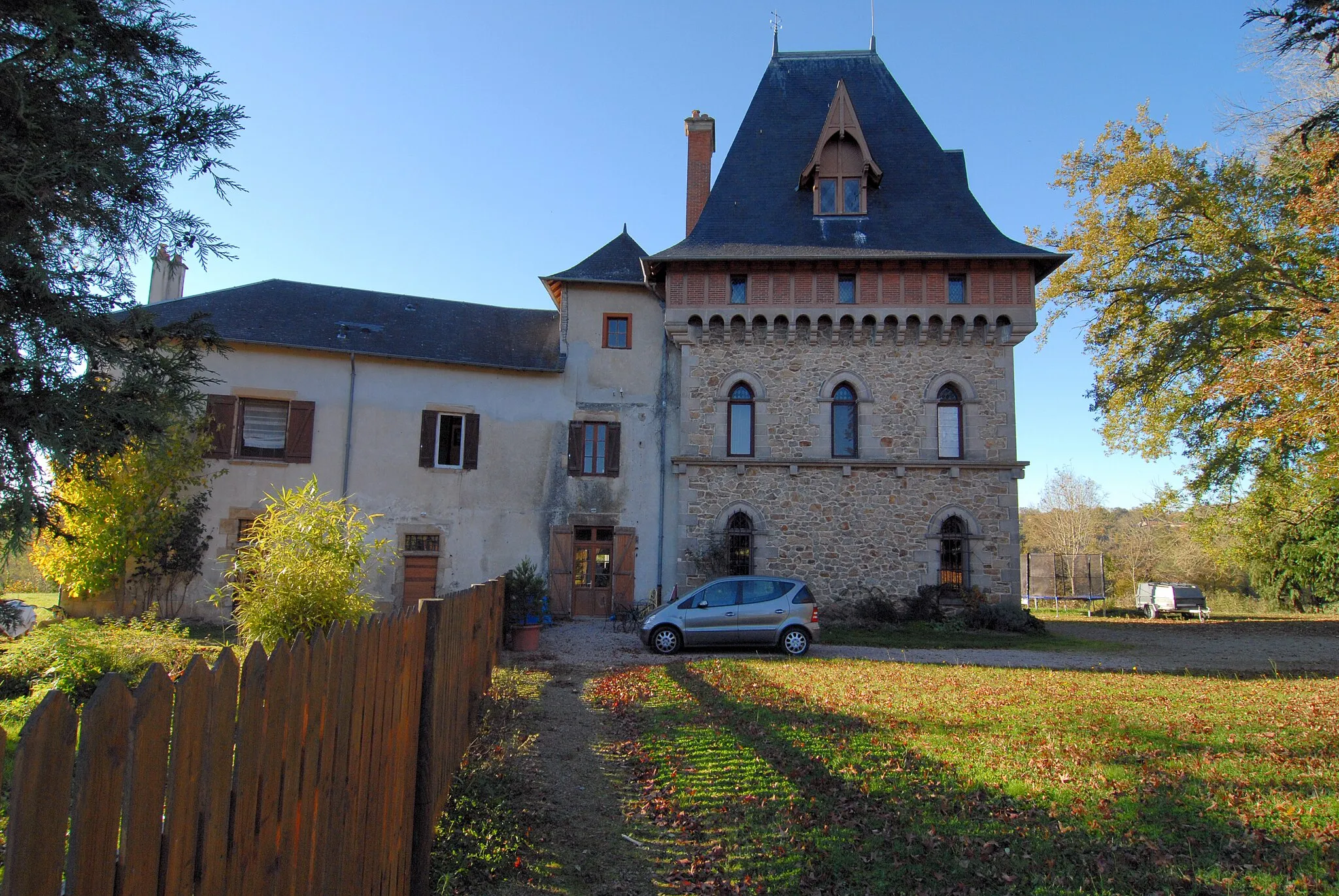
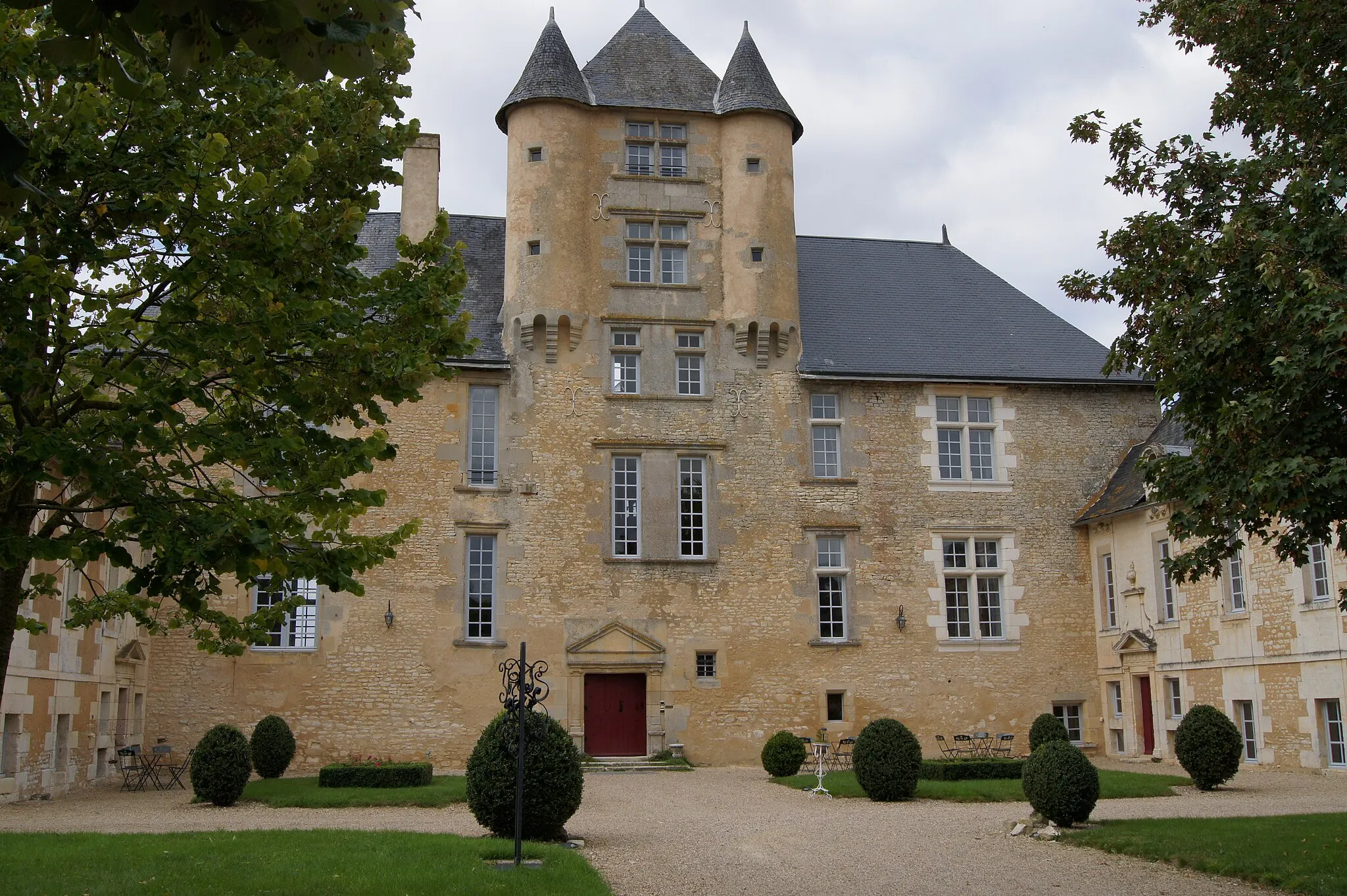
Experience the charm of Vouneuil-sur-Vienne on this gravel route
This gravel route takes you through picturesque landscapes and charming villages, with the highlight being a visit to the historic Château de la Massardière. With a total ascent of 431 meters and a distance of 69 kilometers, this route is suitable for intermediate riders looking to explore the region's attractions. Take a break in Vouneuil-sur-Vienne and enjoy the beautiful surroundings of this scenic village.
Lencloître Journey
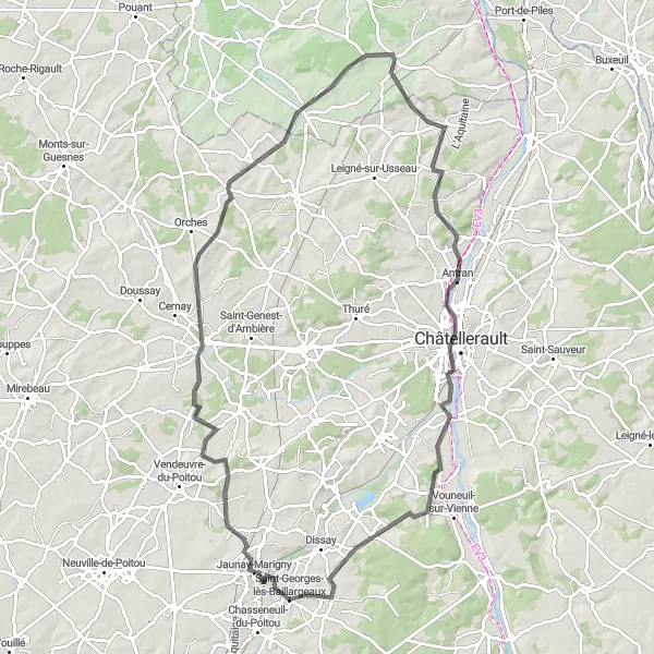
Embark on a scenic road cycling journey through the countryside, starting near Saint-Georges-lès-Baillargeaux.
Discover the beauty of the countryside on this road cycling route starting near Saint-Georges-lès-Baillargeaux. With a total ascent of 619m over a distance of 97km, this route is suitable for well-trained amateurs with a difficulty rating of 4. It offers a higher level of epicness with a rating of 3. Starting from Saint-Georges-lès-Baillargeaux, you will pass through Lencloître, Jaulnay, Marigny-Marmande, Antran, Cenon-sur-Vienne, and finally return to your starting point.
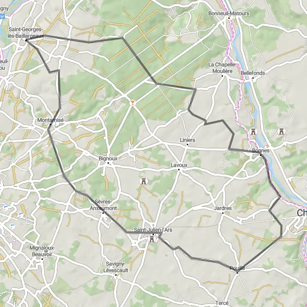
Enjoy the picturesque countryside on this road route
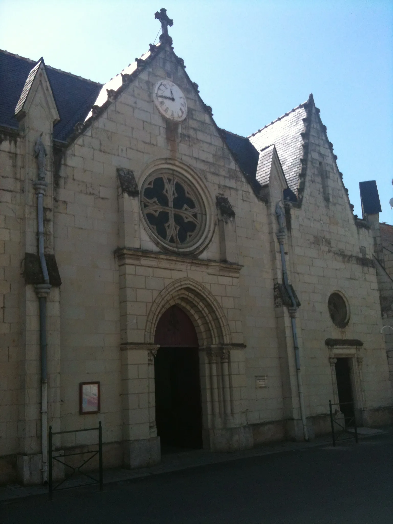
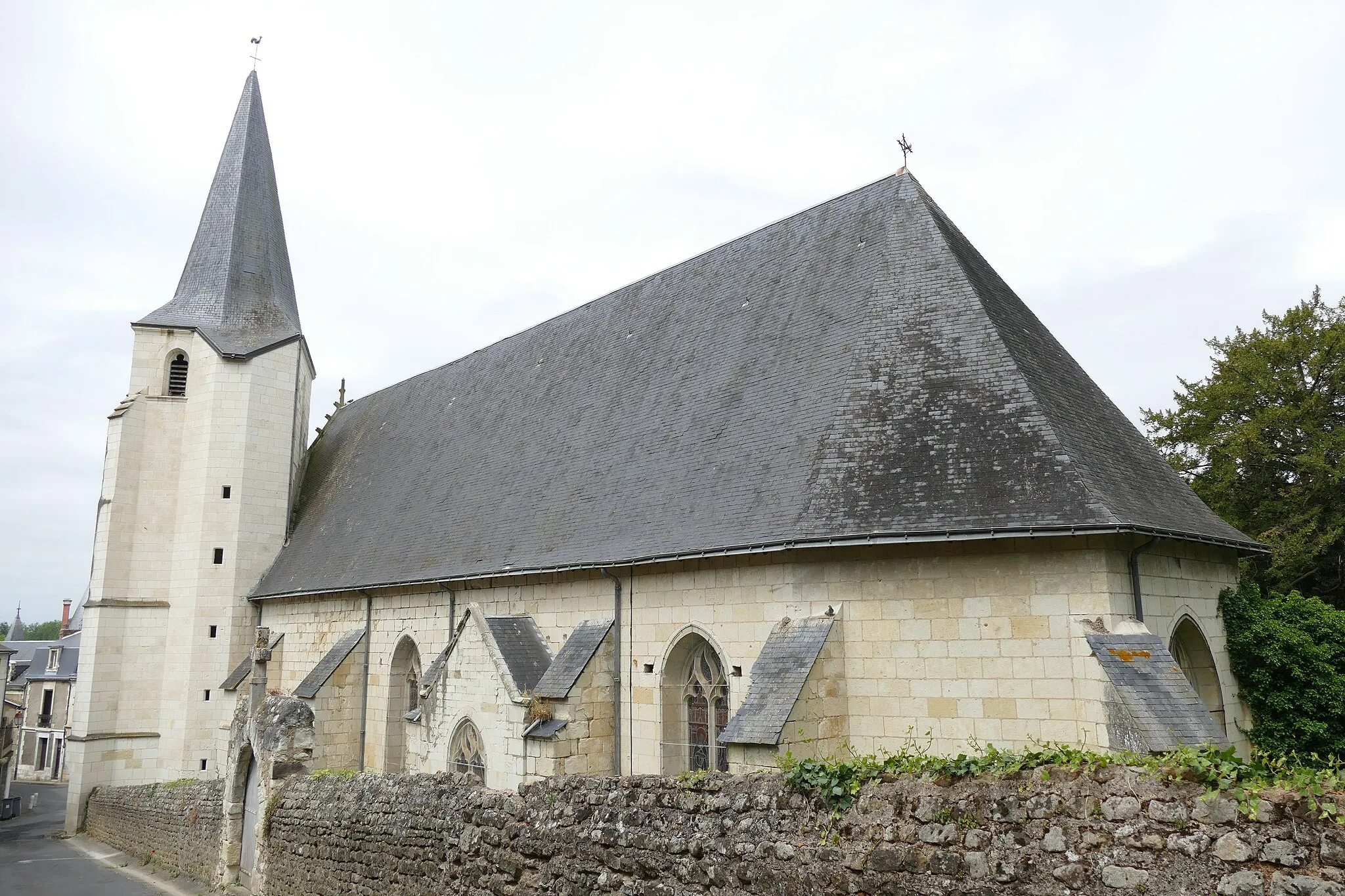
This road route takes you through scenic countryside, providing beautiful views and the chance to explore charming villages along the way. With a total ascent of 352 meters and a distance of 56 kilometers, this route is suitable for intermediate riders. Take a break in Saint-Georges-lès-Baillargeaux and visit the historic Abbey of Saint-Sauveur.
Chabournay Ride
Enjoy a scenic road cycling ride from Chabournay to Dissay near Saint-Georges-lès-Baillargeaux.
Experience the beauty of the countryside on this road cycling route from Chabournay to Dissay near Saint-Georges-lès-Baillargeaux. With a total ascent of 580m over a distance of 89km, this route is suitable for well-trained amateurs with a difficulty rating of 4. It offers a higher level of epicness with a rating of 3. Starting from Chabournay, you will pass through Saint-Gervais-les-Trois-Clochers, Château de la Massardière, Dissay, and return to your starting point.

A gravel route leading to the historic Château du Fou
This gravel route takes you through scenic countryside towards the historic Château du Fou. Along the way, you'll encounter charming villages and picturesque landscapes. The route is suitable for gravel bikes and offers a moderate level of difficulty. With an ascent of 481 meters and a distance of 51 kilometers, this route provides a satisfying challenge for intermediate riders.
Cycling routes nearby:
Nearby regions: