Small town with limited cycling opportunities.
Cycling routes from Saint-Varent
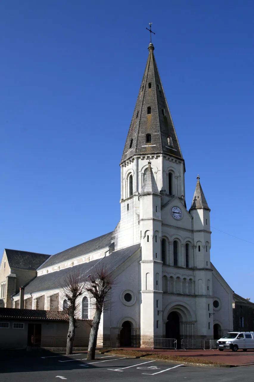
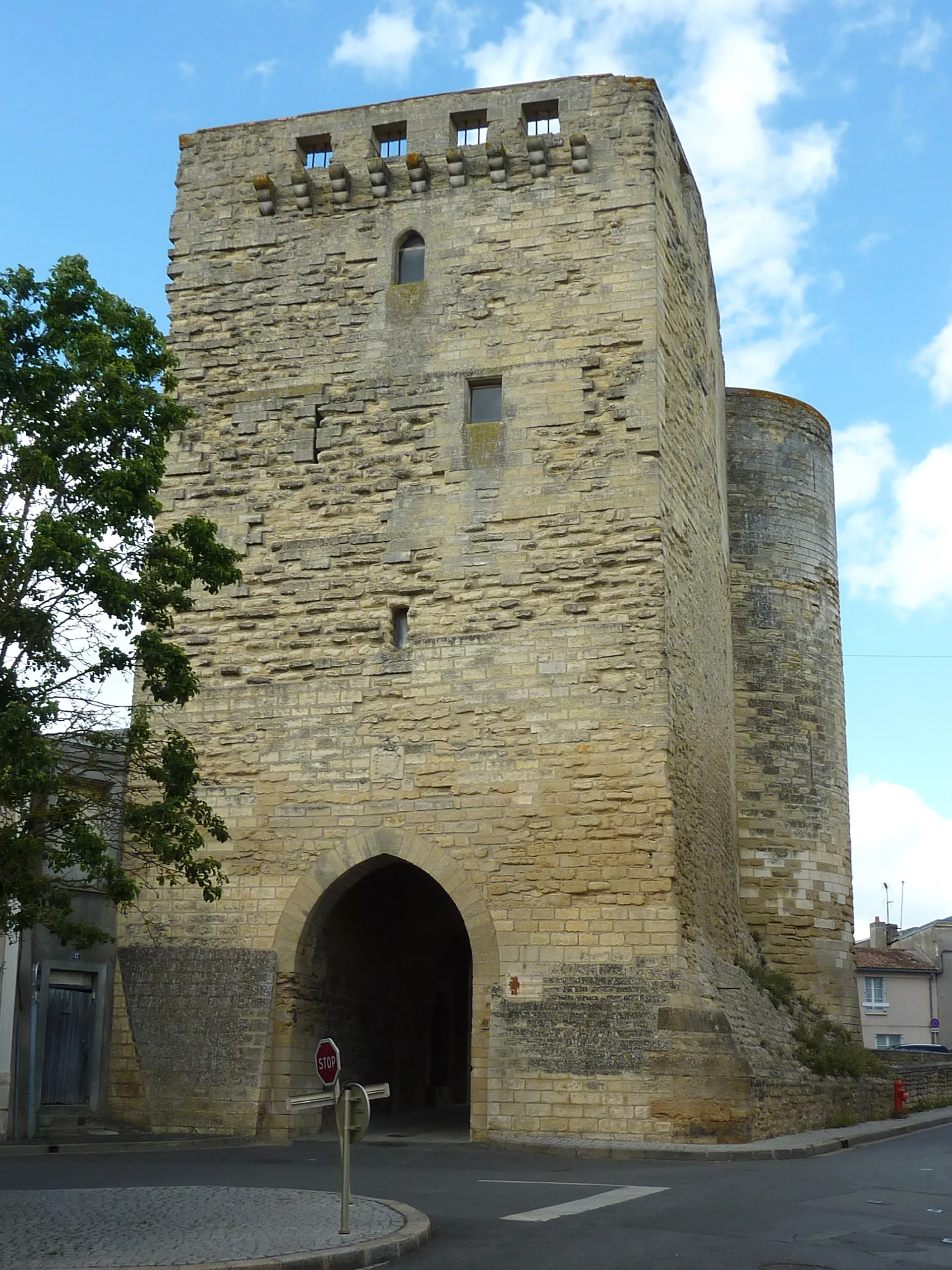
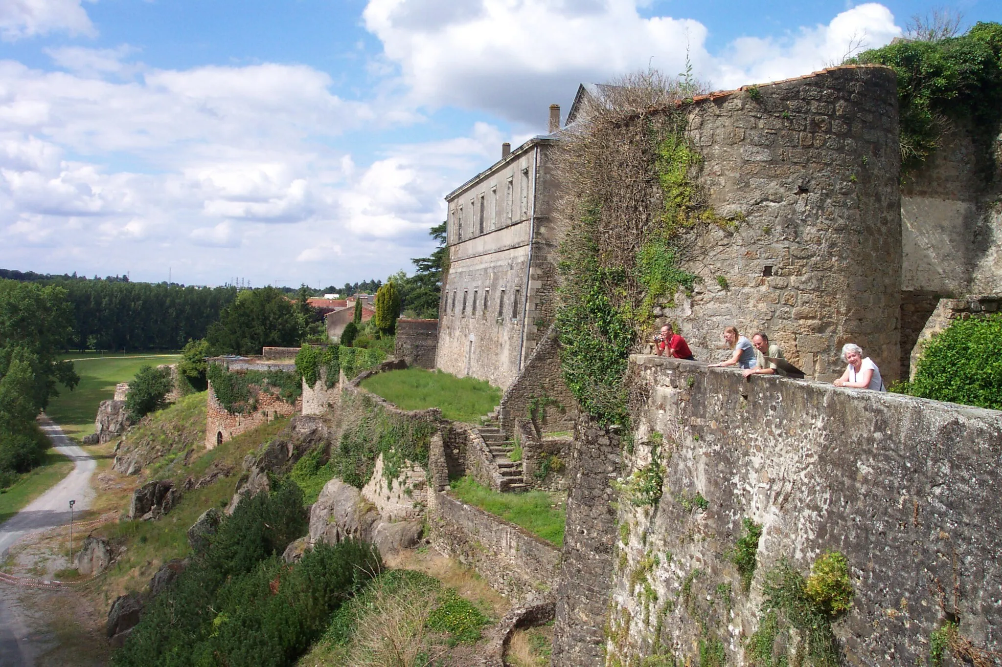
Saint-Varent is a small town located in the region of Poitou-Charentes, France. From a cyclist's perspective, the town is not particularly suited for road or gravel cycling as it lacks dedicated cycling infrastructure and there are no famous cycling spots or well-known climbs nearby. The surrounding area does offer some scenic country roads for leisure cycling, but it is not a popular tourist destination for cyclists. Overall, Saint-Varent ranks low on the cyclist-friendly scale.

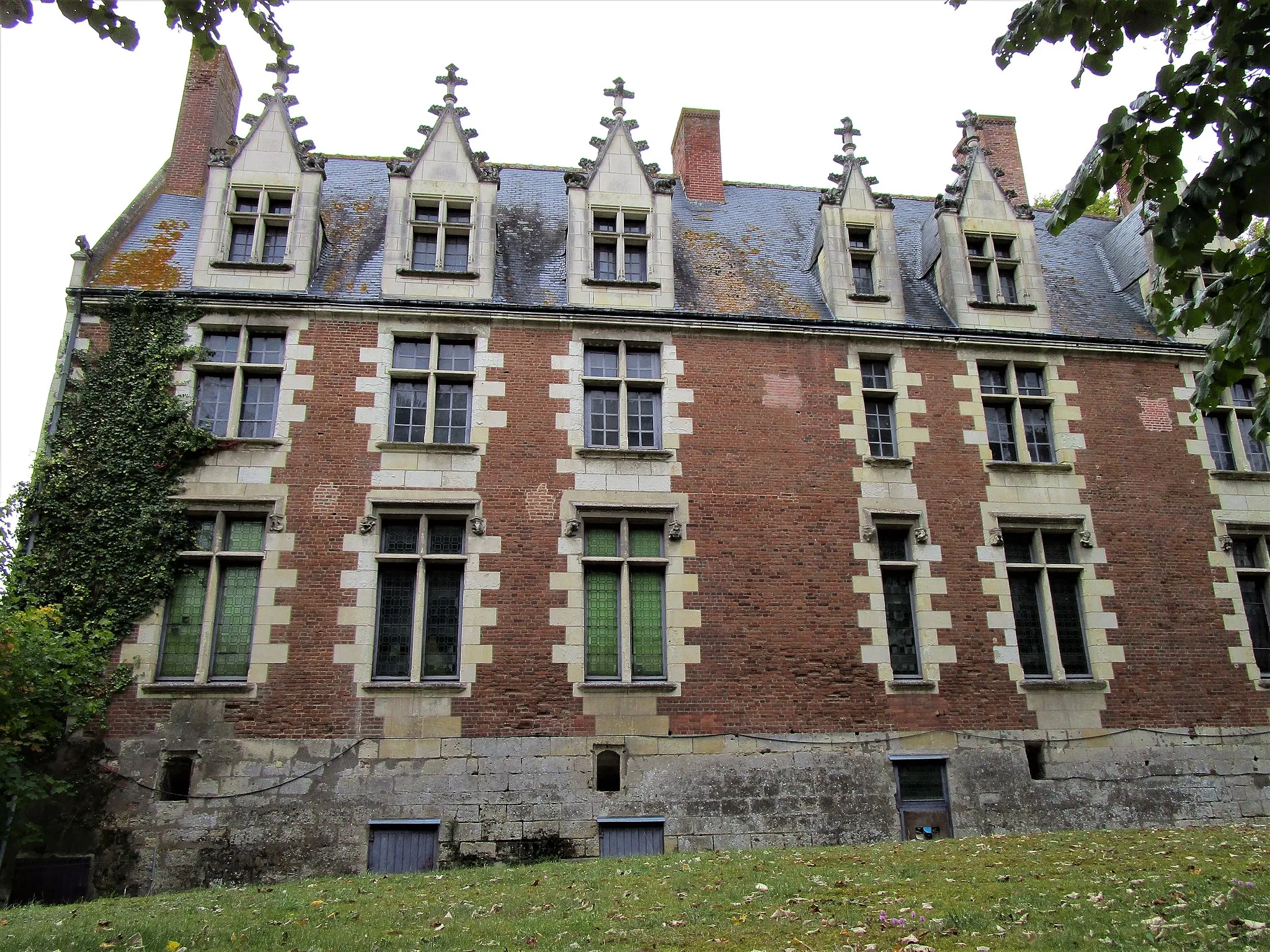
Discover the grandeur of Château de Sanzay and stunning countryside
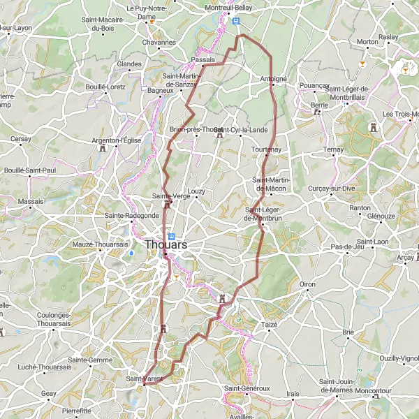
Embark on this road cycling route that takes you on a journey through the scenic countryside near Saint-Varent. With a distance of 115 kilometers and an ascent of 448 meters, it offers intermediate-level riders a chance to enjoy the diverse landscapes of the region. Highlights include the majestic Château de Sanzay, La Fougereuse with its charming rural beauty, and Cernusson with its serene surroundings. Doué-la-Fontaine provides a historic stop with interesting attractions, while the Belvédère du Puy de Mont offers panoramic views of the stunning countryside. Don't miss Brion-près-Thouet and Saint-Jean-de-Thouars, both offering unique cultural experiences along the way.
Gravel and Vineyards Ride
Explore the vineyards and beyond on this gravel adventure
This gravel route takes you through the picturesque vineyards near Saint-Varent, offering a mix of charming countryside and scenic views. With a distance of 66 kilometers and an ascent of 401 meters, it provides an enjoyable challenge for gravel riders. Highlights include Thouars, a historical town with a rich architectural heritage, Saint-Martin-de-Sanzay, famous for its winemaking tradition, and Belvédère du Puy de Mont, where you can stop and admire the sweeping landscapes. Antoigné and Saint-Martin-de-Mâcon offer further interesting stops along the way, while Luzay provides a peaceful and idyllic setting.
Experience the picturesque villages of Availles-Thouarsais and Assais-les-Jumeaux
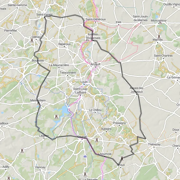
Embark on a scenic journey through the French countryside, where you'll discover hidden gems like the quaint village of Availles-Thouarsais and the charming Assais-les-Jumeaux. With a moderate ascent of 329m and a distance of 71km, this road cycling route is suitable for amateur cyclists seeking a delightful escape.

Discover the beauty of the countryside and historic sites on this gravel cycling route starting near Saint-Varent.
Explore the scenic countryside and discover historic sites on this gravel cycling route near Saint-Varent. With a total distance of 41 kilometers and an ascent of 273 meters, it is suitable for well-trained amateurs. Highlights along the route include the town of Airvault and the village of Boussais.
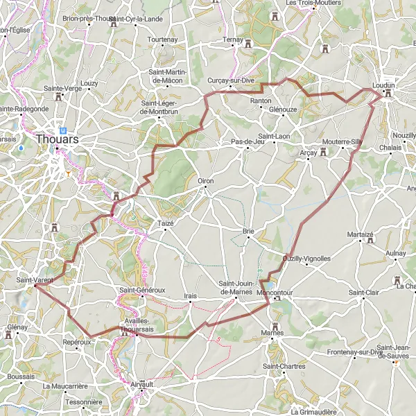
Noirterre Loop
Embark on a challenging road cycling adventure starting near Saint-Varent and explore the scenic countryside and historic sites.
Experience the beauty of the countryside and explore historic sites on this challenging road cycling route starting near Saint-Varent. With a total distance of 94 kilometers and an ascent of 506 meters, it is suitable for well-trained amateurs. Highlights along the route include the medieval village of Noirterre and the charming town of Nueil-les-Aubiers.
Embark on a gravel adventure exploring the beautiful countryside near Saint-Varent
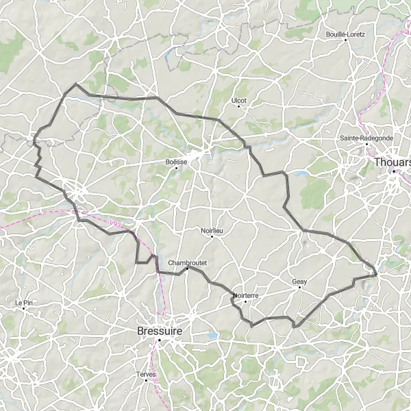
The Les Gravieres de Saint-Varent route is an incredible gravel adventure that takes you through the scenic countryside near Saint-Varent, Poitou-Charentes, France. With a total distance of 76 km and an ascent of 407 meters, this route offers a challenging yet rewarding experience for riders of all skill levels. The route is filled with picturesque landscapes, charming villages, and stunning highlights worth stopping for along the way. So get ready to explore the off-beaten paths and immerse yourself in the natural beauty of this lesser-known region of France.

Discover scenic gravel roads near Saint-Varent
This gravel route offers a scenic and adventurous experience, showcasing the beautiful surroundings of Saint-Varent. With a distance of 76 kilometers and an ascent of 349 meters, it provides a good challenge for gravel enthusiasts. The route highlights include Mauzé-Thouarsais, a charming village with picturesque architecture, Saint-Martin-de-Sanzay, known for its traditional wine production, and the impressive Belvédère du Puy de Mont, offering stunning panoramic views. Antoigné and Butte de Moncoue also provide unique stops along the way.

Discover scenic countryside and charming villages on this road cycling route starting near Saint-Varent.
This road cycling route near Saint-Varent offers stunning views of the countryside and takes you through picturesque villages. With a total distance of 77 kilometers and an ascent of 370 meters, it is suitable for well-trained amateurs. The route passes by highlights such as the historic town of Mazeuil and the beautiful village of Soussigny.
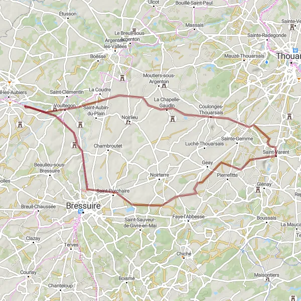
Embark on a gravel cycling adventure starting near Saint-Varent and explore scenic countryside and charming villages.
This gravel cycling route near Saint-Varent offers stunning views of the countryside and takes you through charming villages. With a total distance of 65 kilometers and an ascent of 344 meters, it is suitable for well-trained amateurs. The route passes by highlights such as the village of Voultegon and the picturesque town of Coulonges-Thouarsais.
Airvault Adventure

Embark on an adventure through Airvault and surrounding landscapes
This road cycling route follows a challenging path through the picturesque landscapes of Airvault and its surroundings. With a distance of 112 kilometers and an ascent of 700 meters, it offers a thrilling experience for well-trained amateur cyclists. Highlights include Airvault itself, a historical town adorned with captivating medieval architecture, Vausseroux with its charming rural beauty, and Le Tallud, where you can stop and enjoy the tranquil ambiance. Adilly and Amailloux provide further interesting stops along the way, while Glénay offers a peaceful rural setting ideal for a rest.
Cycling routes nearby:


Nearby regions: