Tranquil cycling in scenic Provence-Alpes-Côte d’Azur.
Cycling routes from Figanieres
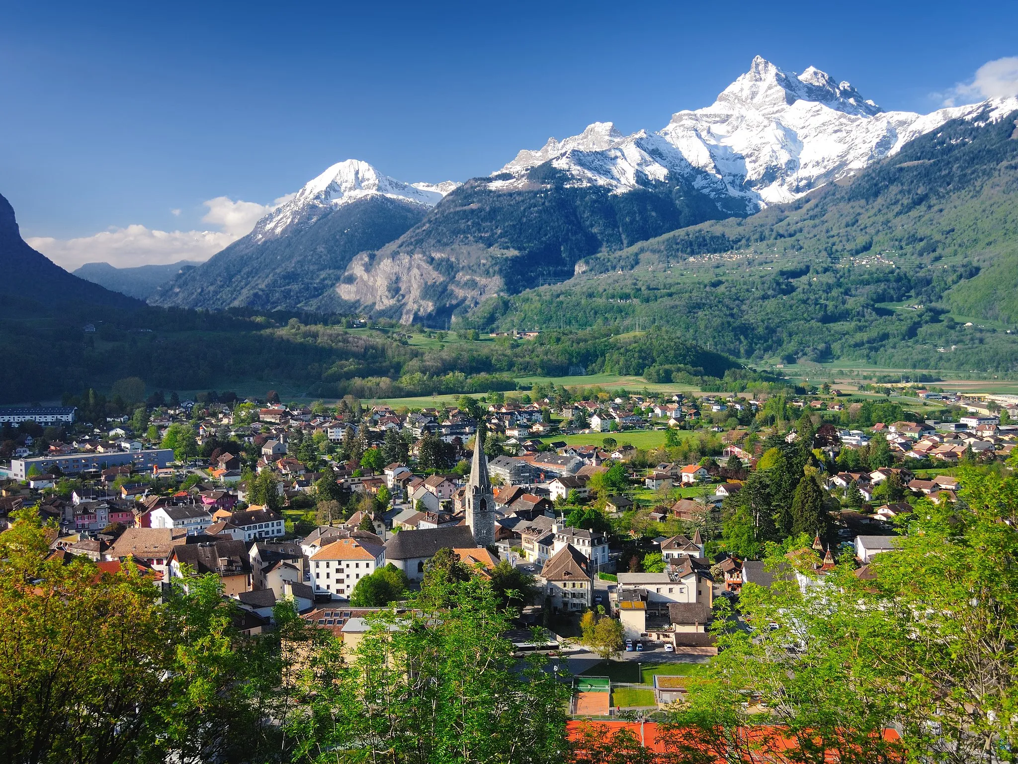
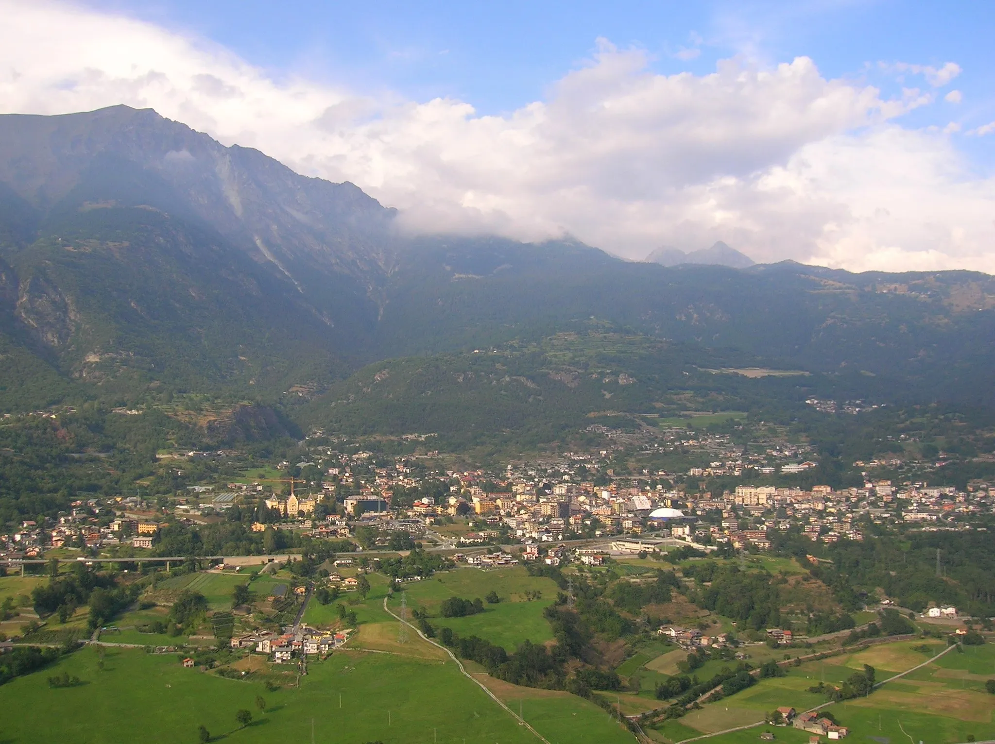
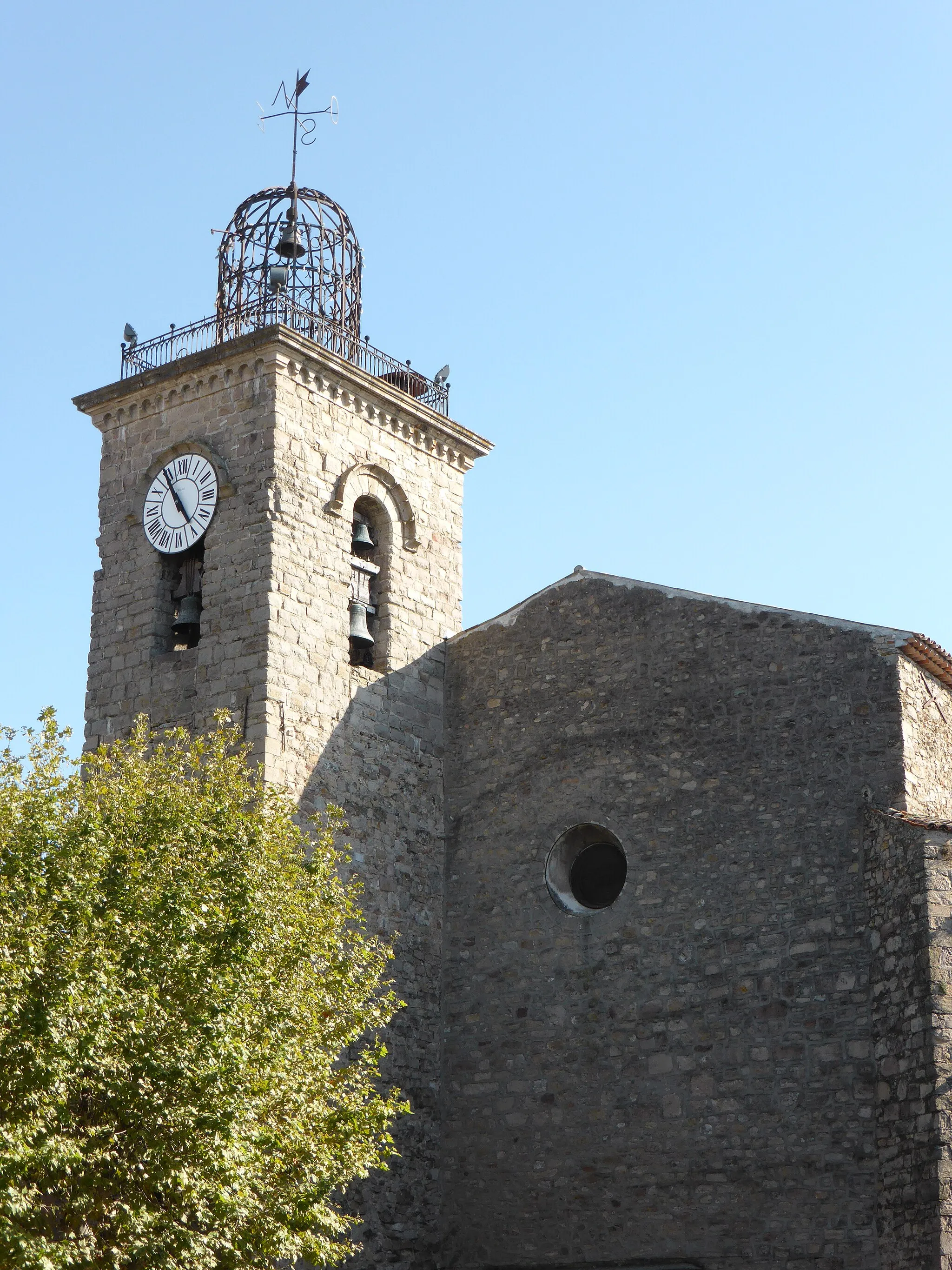
Figanières is a locality in Provence-Alpes-Côte d’Azur, France that provides limited cycling opportunities. The roads here are mostly basic and not specifically geared towards cycling. Although there are no notable cycling-related spots or challenging climbs nearby, the area offers a peaceful and tranquil environment for leisurely cycling. Figanières is situated in a scenic region, allowing riders to enjoy the beautiful surroundings while going on relaxed rides.
Embark on an unforgettable gravel adventure through the diverse landscapes of Provence-Alpes-Côte d'Azur
This gravel round-trip cycling route takes you through the scenic landscapes of Provence-Alpes-Côte d'Azur, passing through enchanting villages like Le Muy and Saint François. Marvel at the beauty of Château Sainte-Roseline and experience the thrill of riding on rugged gravel paths. With a total distance of 42 km and an ascent of 678m, this route offers an exhilarating experience for gravel enthusiasts looking to explore off the beaten path.
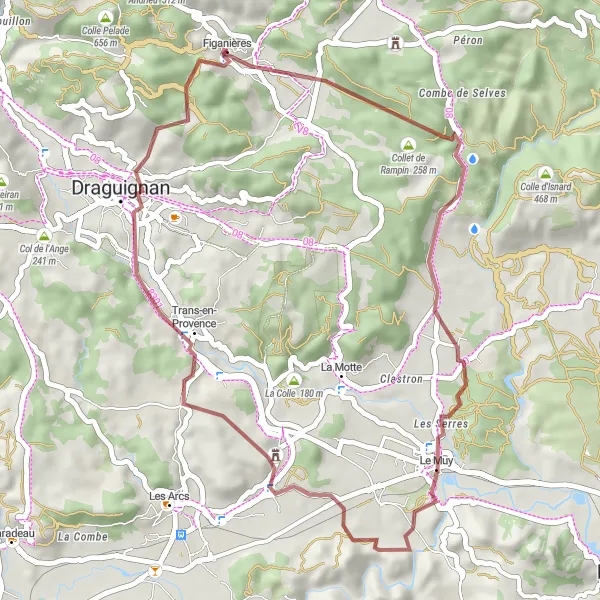
Embark on a thrilling gravel adventure through the scenic landscapes of Provence-Alpes-Côte d'Azur
This gravel round-trip cycling route takes you on an off-road adventure through the rugged and diverse landscapes of Provence-Alpes-Côte d'Azur. Starting from Figanières, you'll pass through the picturesque village of Châteaudouble, offering breathtaking views of the Gorges de Châteaudouble. With a total distance of 28 km and an ascent of 674m, this route provides a thrilling and challenging experience for gravel enthusiasts.

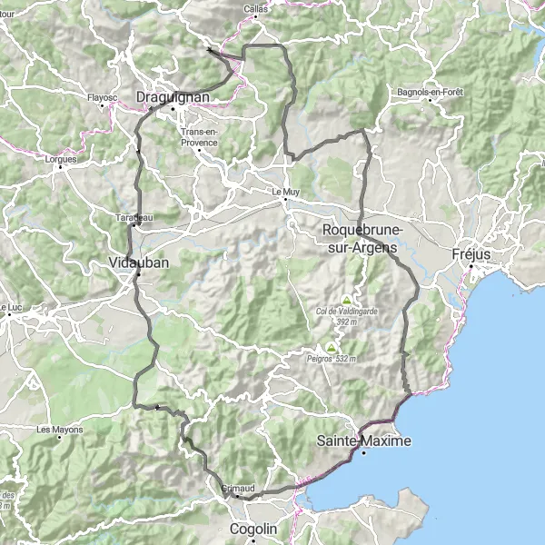
Gravel adventure through picturesque Roquebrune-sur-Argens
Embark on a thrilling gravel adventure through the beguiling landscapes of Roquebrune-sur-Argens. This route features a total ascent of 1659m, covering a distance of 75km. With challenging terrain and scenic vistas, this ride is perfect for gravel enthusiasts seeking an adrenaline rush and captivating views.

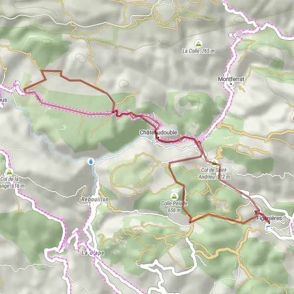
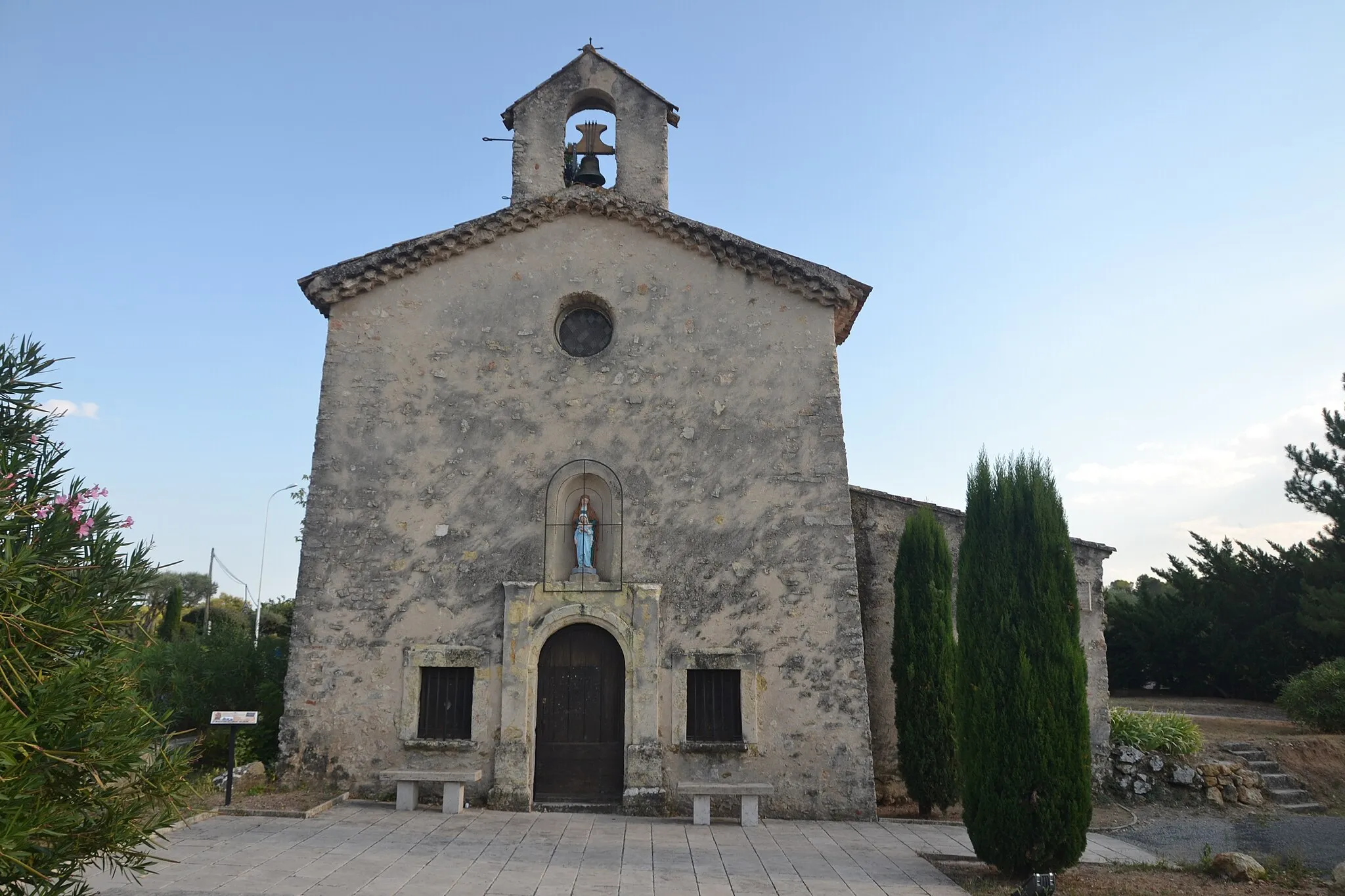
Explore the scenic villages and mountainous landscapes of Provence-Alpes-Côte d'Azur region
This round-trip cycling route takes you through the charming villages of Figanières, Saint-Paul-en-Forêt, and Callian. Enjoy the breathtaking views of the mountainous landscape and pedal your way through vineyards and olive groves. The route includes challenging ascents, such as Colle Gardanne and Bauroux, offering a great workout for cyclists. The total distance covered is 126 km with a total ascent of 2242m.
Legendary Les Arcs Route

Cycling adventure through Les Arcs and Flayosc
The Legendary Les Arcs Route is a cycling adventure designed for enthusiasts seeking breathtaking climbs and majestic sceneries. With a challenging total ascent of 1387m and a distance of 99km, this road route treats you with legendary climbs and stunning vistas that are sure to leave a lasting impression.
Discover the remarkable landscapes and charming villages of Provence-Alpes-Côte d'Azur region
This circular cycling route takes you through the scenic landscapes of Provence-Alpes-Côte d'Azur, passing through villages like Chapelle de la Trinité, Cabasse, and Vidauban. Enjoy the picturesque vineyards and olive groves as you pedal your way through challenging ascents and rewarding descents. Covering a total distance of 116 km with an ascent of 1446m, this route offers a great adventure for road cyclists.
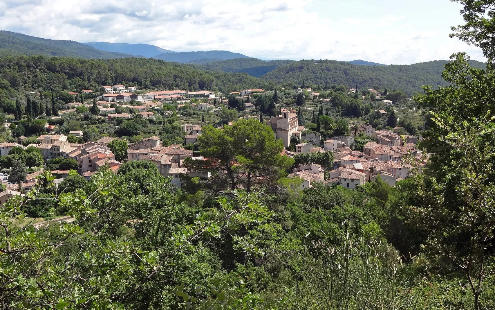
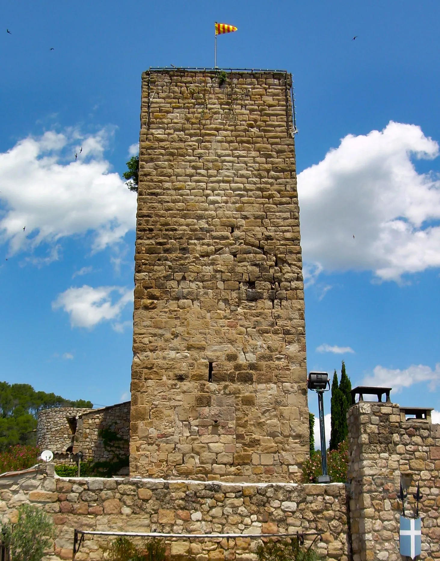
Scenic road route around Figanières
The Figanières Loop takes you on a picturesque road route, offering spectacular views and cultural highlights. This route presents a total ascent of 1078m, covering a distance of 83km. From the charming village of Figanières to the historic Amphithéâtre romain de Fréjus, this ride provides a perfect blend of scenic beauty and cultural exploration.
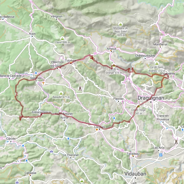
Thrilling gravel adventure through Entrecasteaux
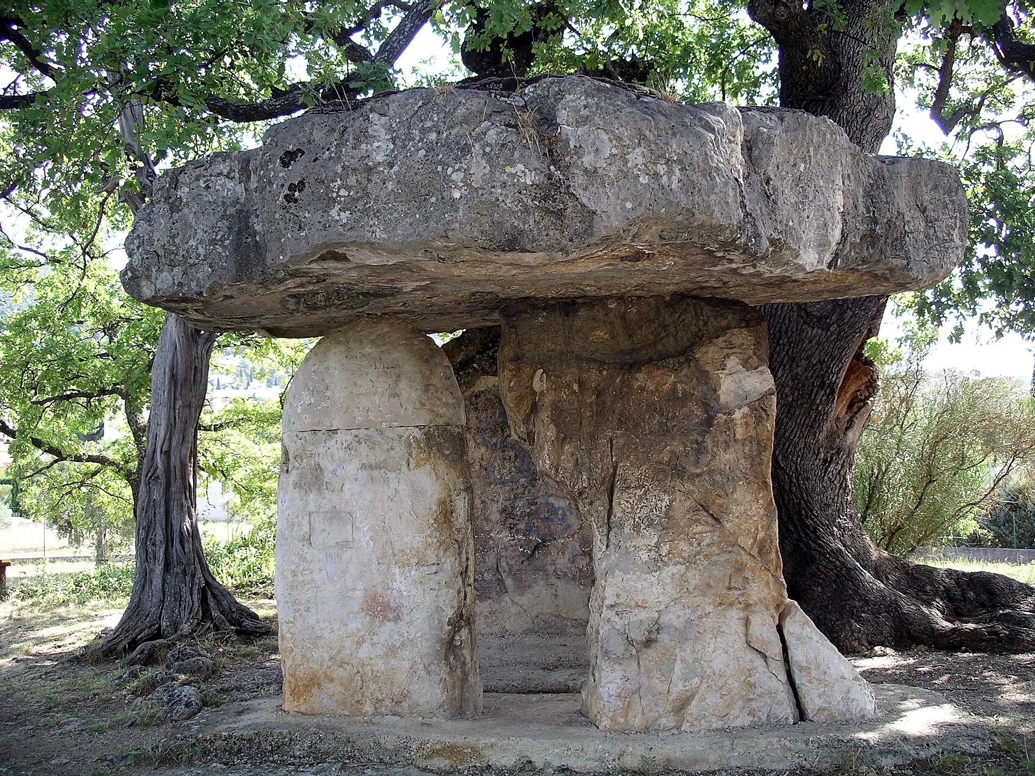
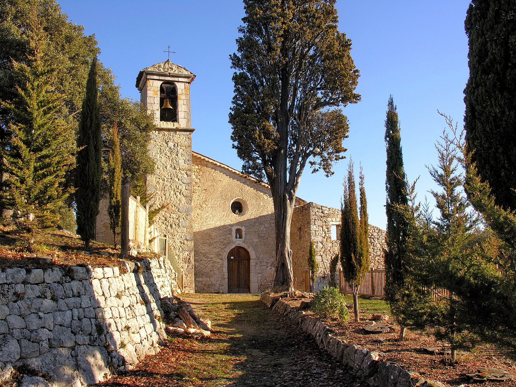
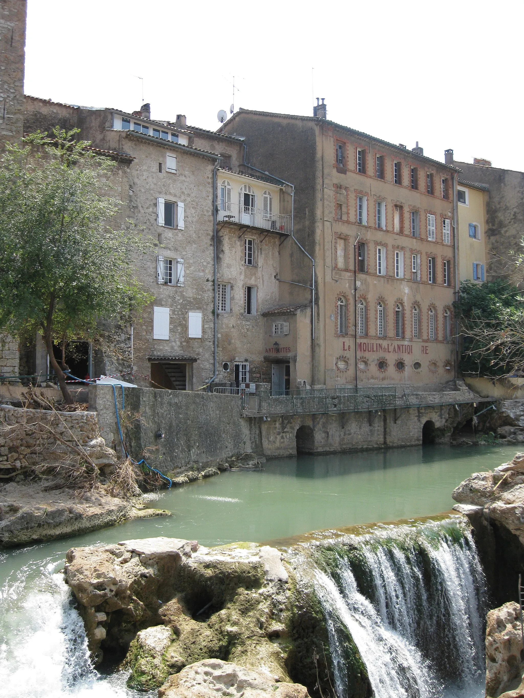
Take on the challenge of the Entrecasteaux Gravel Adventure, meandering through beautiful landscapes, historic sites, and challenging terrain. With a total ascent of 1895m, this 79km route promises thrilling descents and rewarding climbs, making it a favorite among gravel enthusiasts.
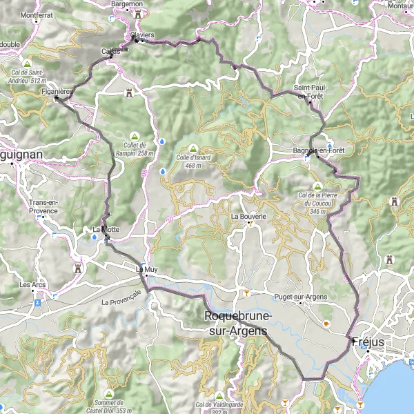
Banc and Claviers Gravel Route

Gravel adventure through Banc and Claviers
This gravel route takes you on an adventurous journey through the stunning landscapes of Banc and Claviers. With a total ascent of 1116m, the route covers a distance of 70km. The ride offers challenging terrain and breathtaking views, making it a perfect choice for adventurous gravel cyclists.

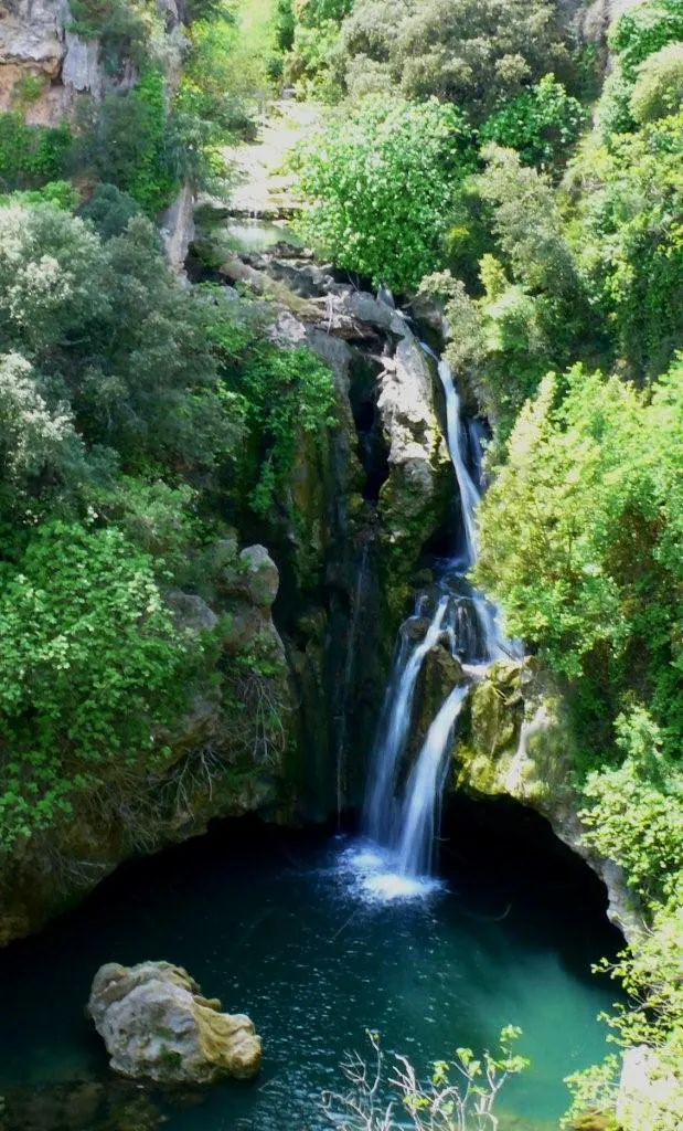
Immerse yourself in the natural beauty and historical sites of Provence-Alpes-Côte d'Azur region
This road cycling route takes you through the scenic landscapes of Provence-Alpes-Côte d'Azur, passing through picturesque villages like Sillans-la-Cascade, Aups, and Ampus. Discover historical sites like Col de Saint-Andrieu and enjoy the peaceful atmosphere surrounded by nature. With a total distance of 96 km and an ascent of 1446m, this route provides a great challenge for road cyclists while offering plenty of sights and attractions along the way.
Cycling routes nearby:


Nearby regions: