Cycling paradise in Provence-Alpes-Côte d’Azur, France
Cycling routes from Malijai
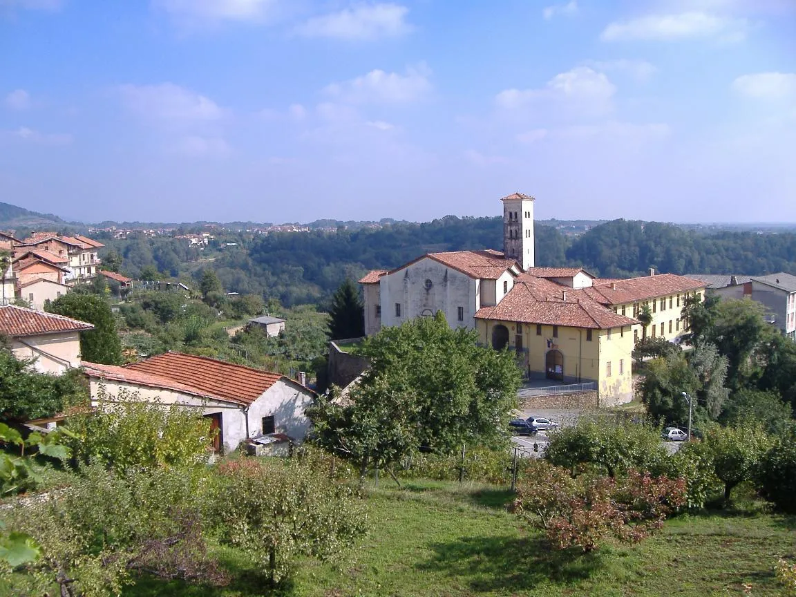
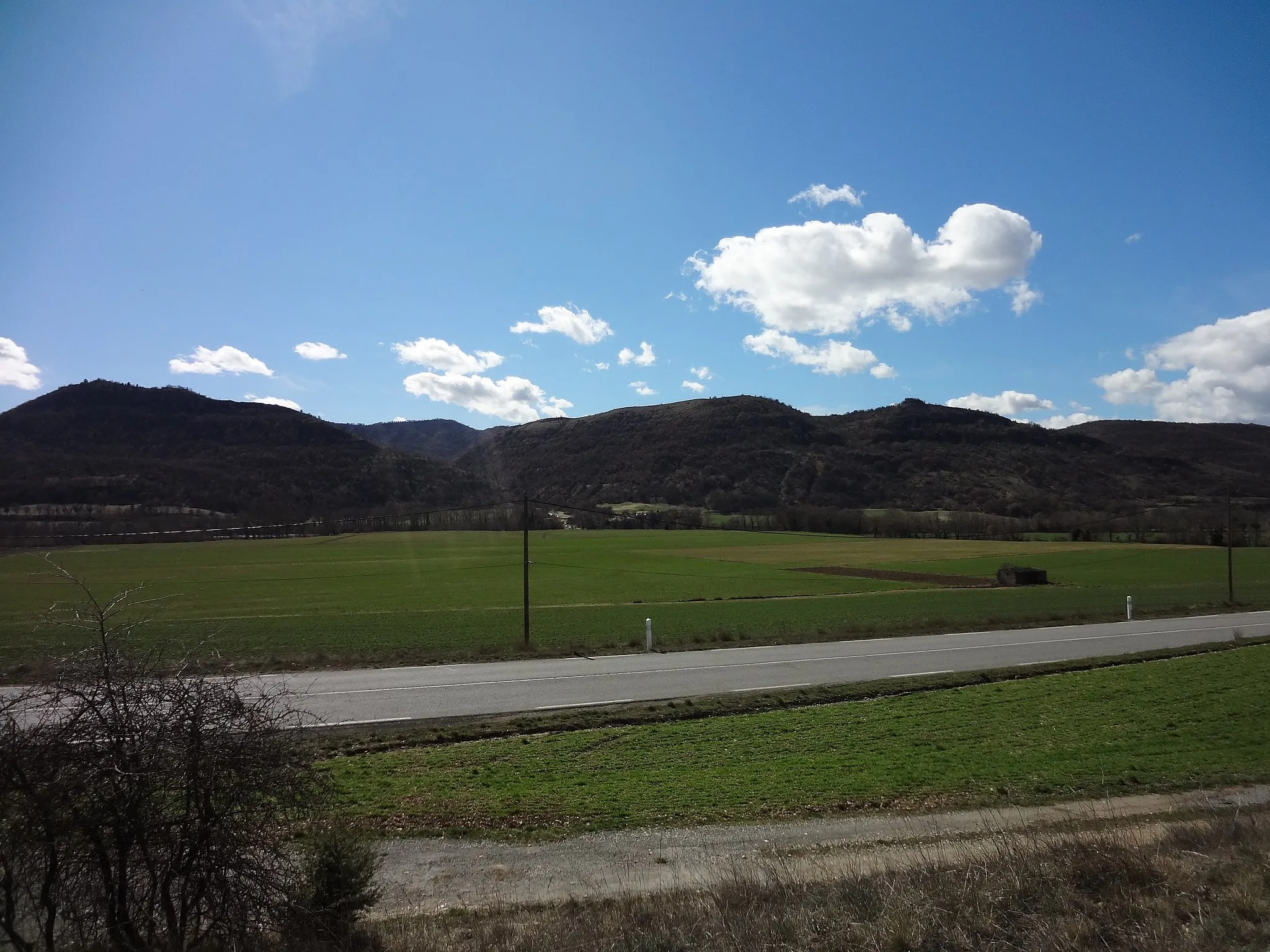
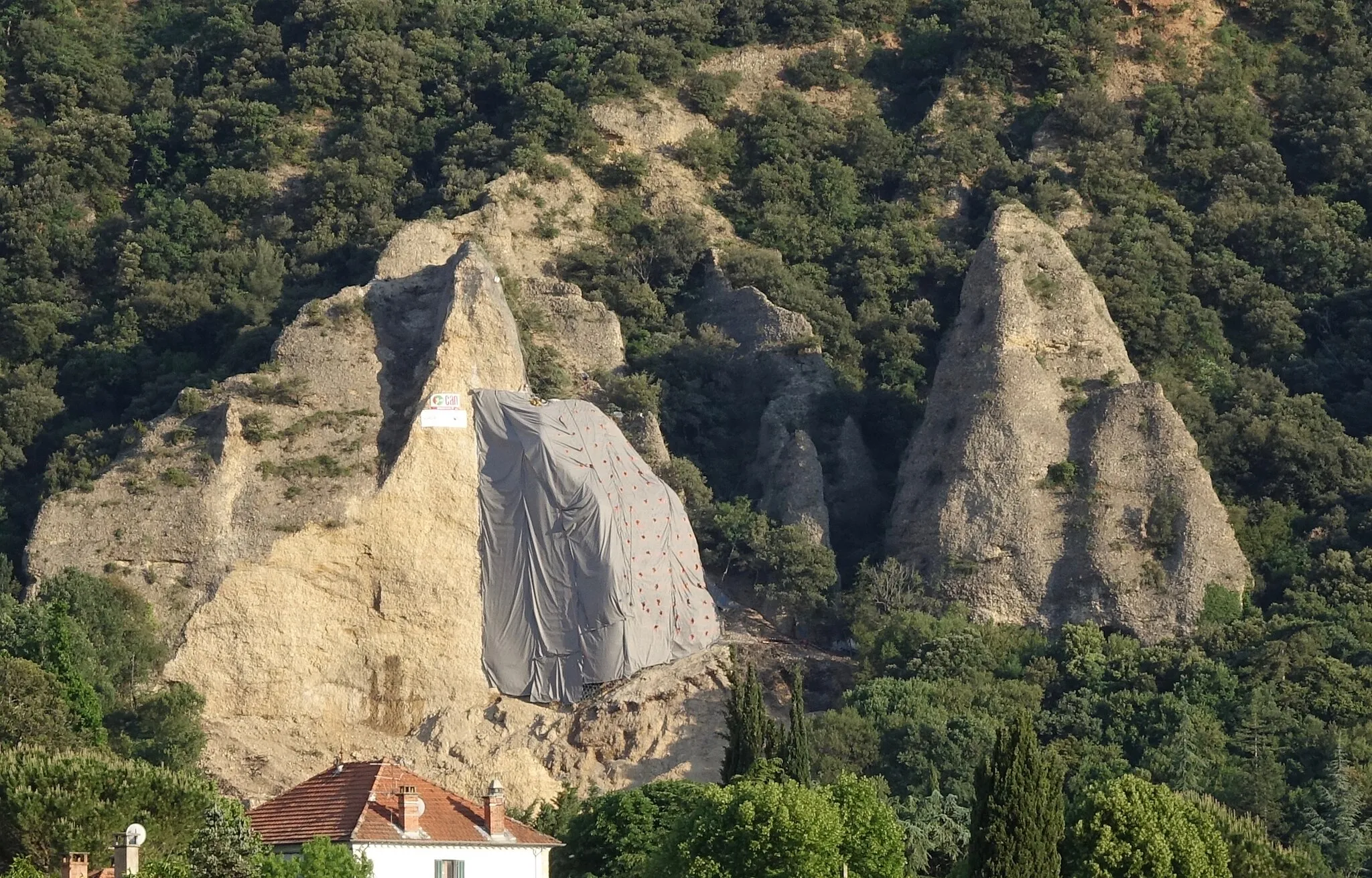
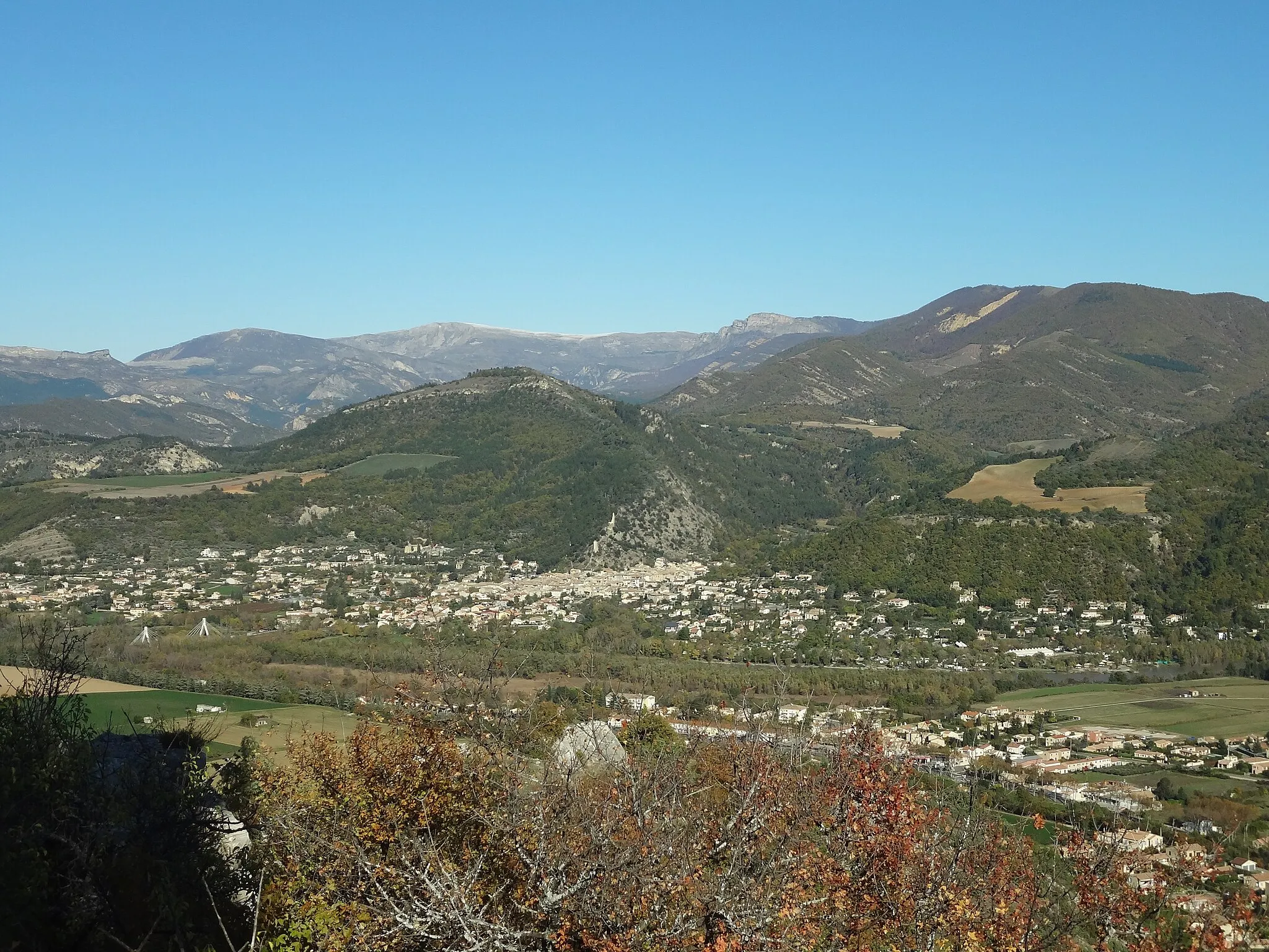
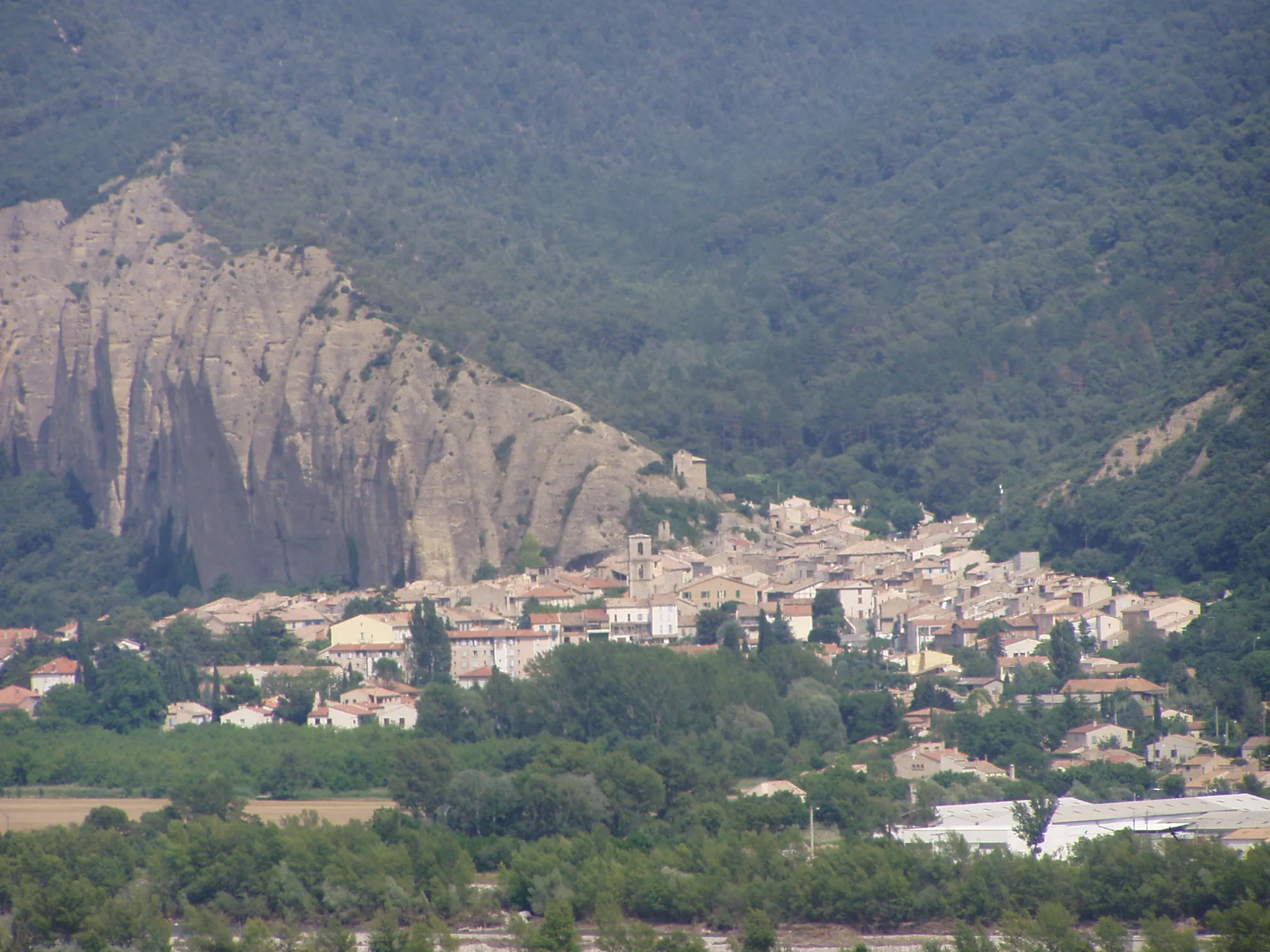
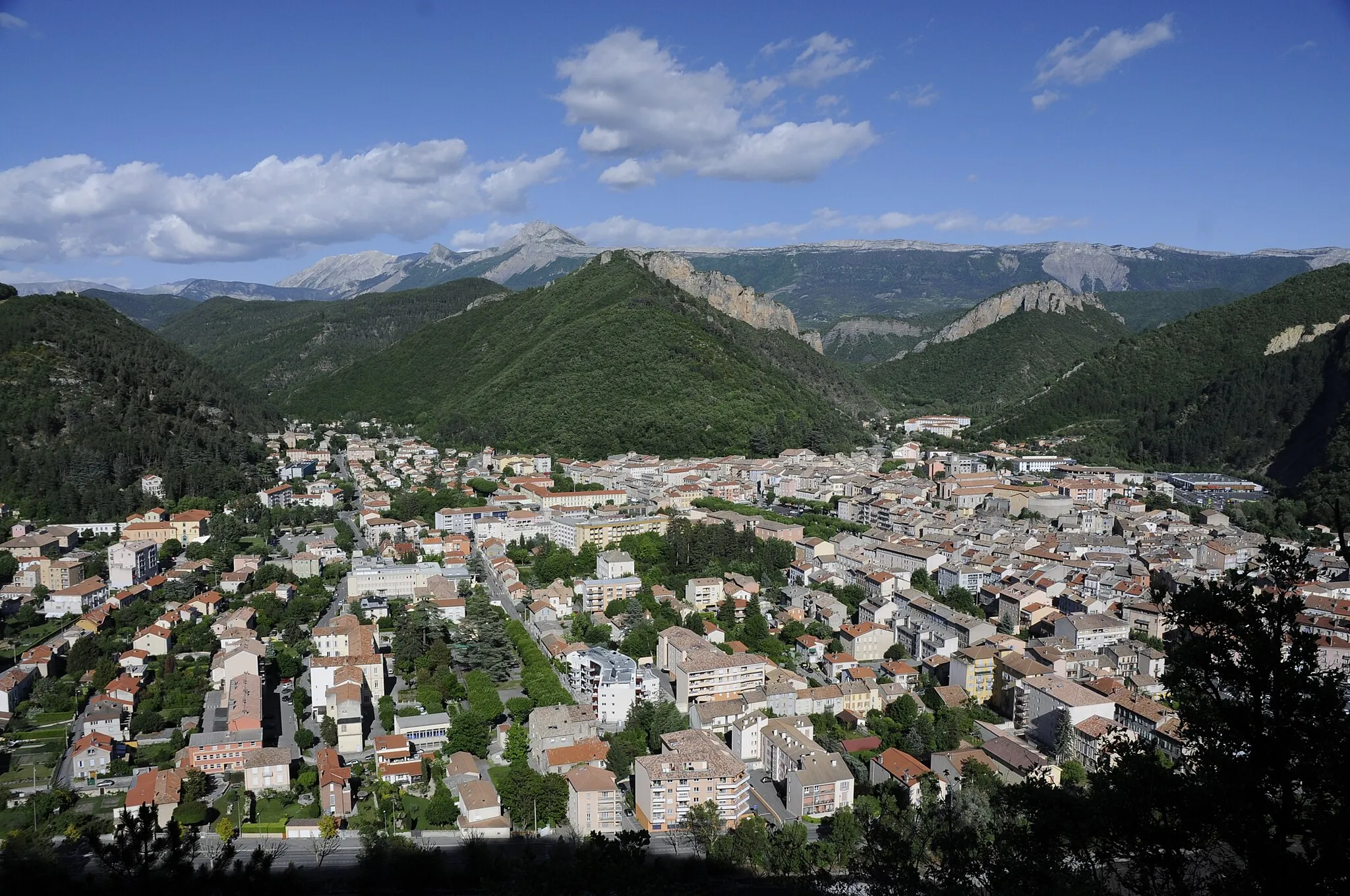
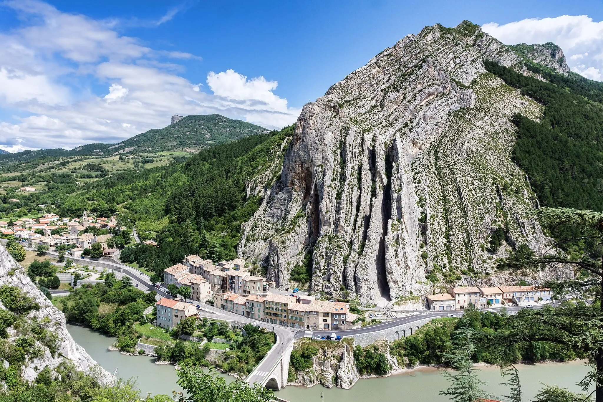
Malijai, located in the Provence-Alpes-Côte d’Azur region of France, offers fantastic cycling opportunities. The area is known for its breathtaking landscapes, including lavender fields and mountains, making it a great destination for road and gravel cyclists. Cyclists can explore the stunning Gorges du Verdon or take on challenging climbs in the area. One famous cycling climb nearby is Mont Ventoux, attracting cyclists from all over the world. With its scenic routes and cycling-friendly atmosphere, Malijai is a must-visit for cyclists looking for an unforgettable experience.
Lagremuse Gravel Epic

Embark on an epic gravel adventure to Lagremuse
Get ready for an epic gravel adventure with this 108-kilometer route to Lagremuse. This challenging route features an ascent of 2772 meters, making it suitable for experienced gravel cyclists. Immerse yourself in the stunning landscapes as you ride through Estoublon and Venascle. Marvel at the natural beauty of Le Castillon and enjoy the panoramic views from Bras-d'Asse and Entrevennes. Challenge yourself to conquer Caïn, an impressive climb, before finishing your journey in Malijai.
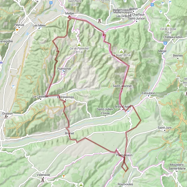
Explore the scenic Col d'Espinouse on this adventurous gravel route near Malijai.
This gravel route takes you on a scenic journey through the Provence-Alpes-Côte d’Azur region, specifically the stunning Col d'Espinouse. The route covers a distance of 76 km with an ascent of 1625 m, providing ample challenges and breathtaking views. With highlights like Puimoisson, Entrevennes, Caïn, and Malijai, this route guarantees an unforgettable cycling experience.
Experience the stunning beauty of Mézel on this scenic road route
Enjoy the scenic beauty along this 70-kilometer road route to Mézel. With an ascent of 953 meters, this route is suitable for well-trained amateur cyclists. Take in the picturesque landscapes as you ride through Le Chaffaut-Saint-Jurson and Mézel. Admire the stunning views from Côte de Pascal and appreciate the charm of the village of Malijai.
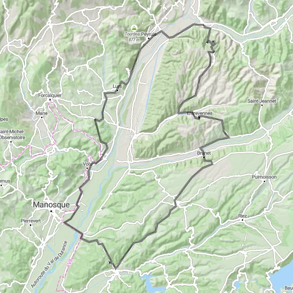
Embark on the ultimate road adventure with this route featuring Montagnac-Montpezat and Moustiers-Sainte-Marie.
This road adventure covers a distance of 160 km with an elevation gain of 2663 m. The route offers a challenging yet rewarding experience as you pass through some of the most iconic and picturesque landscapes in Provence-Alpes-Côte d’Azur. Some of the highlights include Lagremuse, Le Chaffaut-Saint-Jurson, Estoublon, Saint-Jurs, Turelle, and Panorama. With panoramic views and scenic vistas, this route is perfect for experienced cyclists seeking an epic journey.

Embark on an epic gravel adventure to Signal de Lure
This 76-kilometer gravel route will take you on an epic adventure to Signal de Lure. With a challenging ascent of 1937 meters, this route is recommended for experienced cyclists. Enjoy the breathtaking scenery as you cycle through Les Mées and Peyruis. Make sure to take a moment to appreciate the stunning views from Saint-Étienne-les-Orgues and Station de Lure. Don't forget to conquer Signal de Lure, a legendary climb with panoramic views at the summit. End your adventure in Château-Arnoux-Saint-Auban where you can relax and celebrate your achievement.

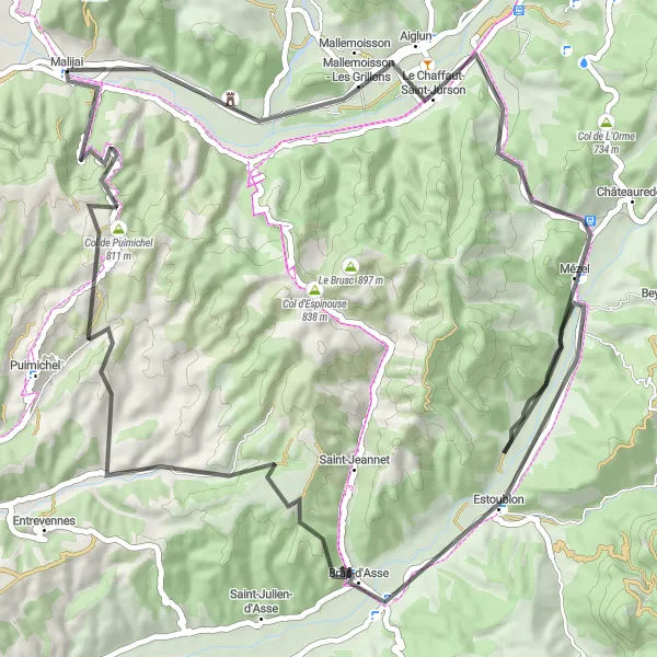
Conquer the stunning Col d'Espinouse on this challenging road ride
Take on the challenge of cycling the 1428-meter ascent to Col d'Espinouse on this 72-kilometer road route. Suitable for experienced cyclists, this route offers stunning views and a thrilling ride. Enjoy the beautiful landscapes as you pass through Bras-d'Asse and Entrevennes. Conquer Col de Puimichel and end your ride in Malijai, where you can relax and celebrate your achievement.
Les Mées Route
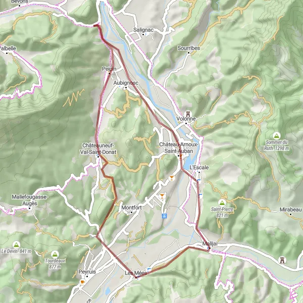
Explore the beautiful highlights of Les Mées on your gravel bike
This route takes you through Les Mées, a picturesque commune in Provence-Alpes-Côte d’Azur region of France. With a total distance of 41 kilometers and an ascent of 483 meters, this route is perfect for a leisurely ride on a gravel bike. Marvel at the stunning landscapes and enjoy the peaceful countryside as you cycle through Chamans and Châteauneuf-Val-Saint-Donat. Don't forget to make a stop at the breathtaking Château-Arnoux-Saint-Auban.
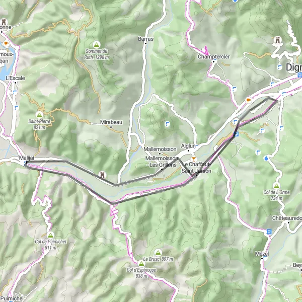
Experience the beauty of Lagremuse and Mallemoisson on this scenic road loop starting near Malijai.
This road loop showcases the scenic beauty of the Provence-Alpes-Côte d’Azur region. With a distance of 36 km and an ascent of 203 m, this route offers leisurely cycling with stunning views of Lagremuse and Mallemoisson. Starting and ending in Malijai, this route is perfect for cyclists seeking a peaceful and picturesque ride.
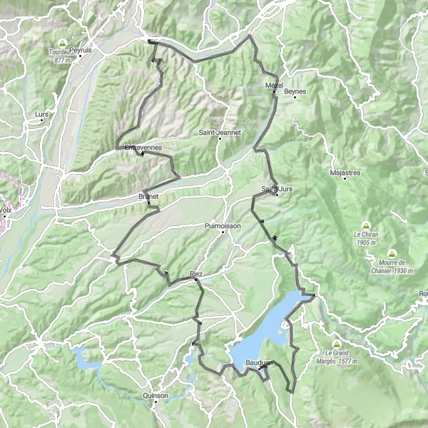
Embark on an epic road adventure featuring Col de Puimichel and the scenic Valensole.
Prepare for an exhilarating road adventure with this route that covers a distance of 112 km and an ascent of 1615 m. Experience the thrill of cycling through challenging terrains as you pass through Col de Puimichel, Entrevennes, Valensole, and more. This route offers incredible highlights, including picturesque villages and breathtaking natural landscapes.
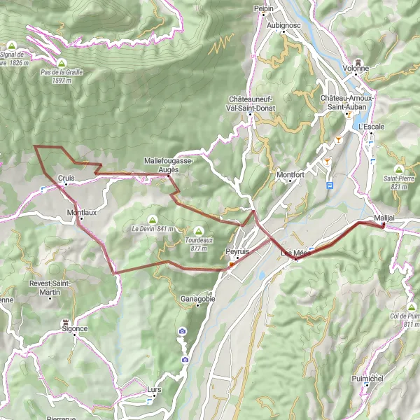
Embark on a gravel adventure featuring Belvédère Jean Millet and the charming village of Montlaux.
This gravel adventure covers a distance of 50 km with an ascent of 1143 m. The route takes you through picturesque landscapes and introduces you to the natural and cultural treasures of the region. Experience the rustic charm of Montlaux, explore the scenic Belvédère Jean Millet, and take in the breathtaking views along the way. With its mix of off-road terrain and stunning points of interest, this route promises an exciting and memorable cycling experience.
Cycling routes nearby:
Nearby regions: