Idyllic Provencal Landscapes and Famous Climbs
Cycling routes from Pierrevert
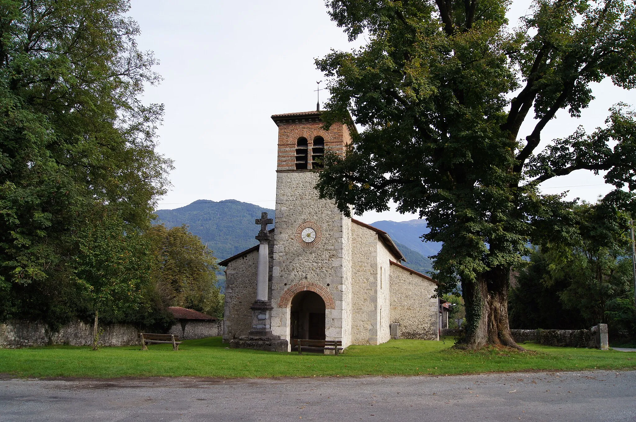
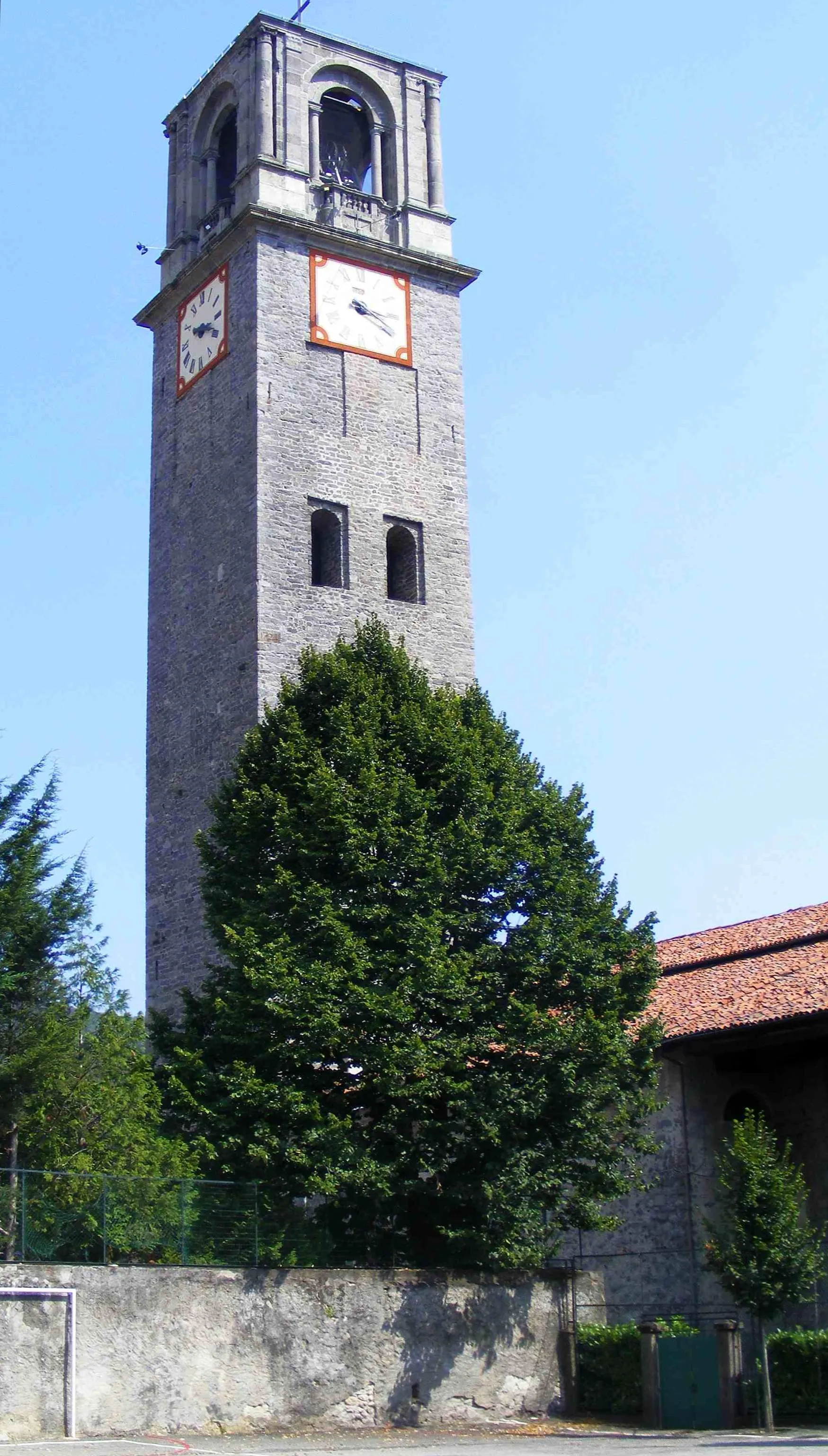
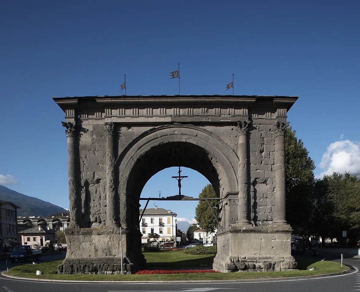
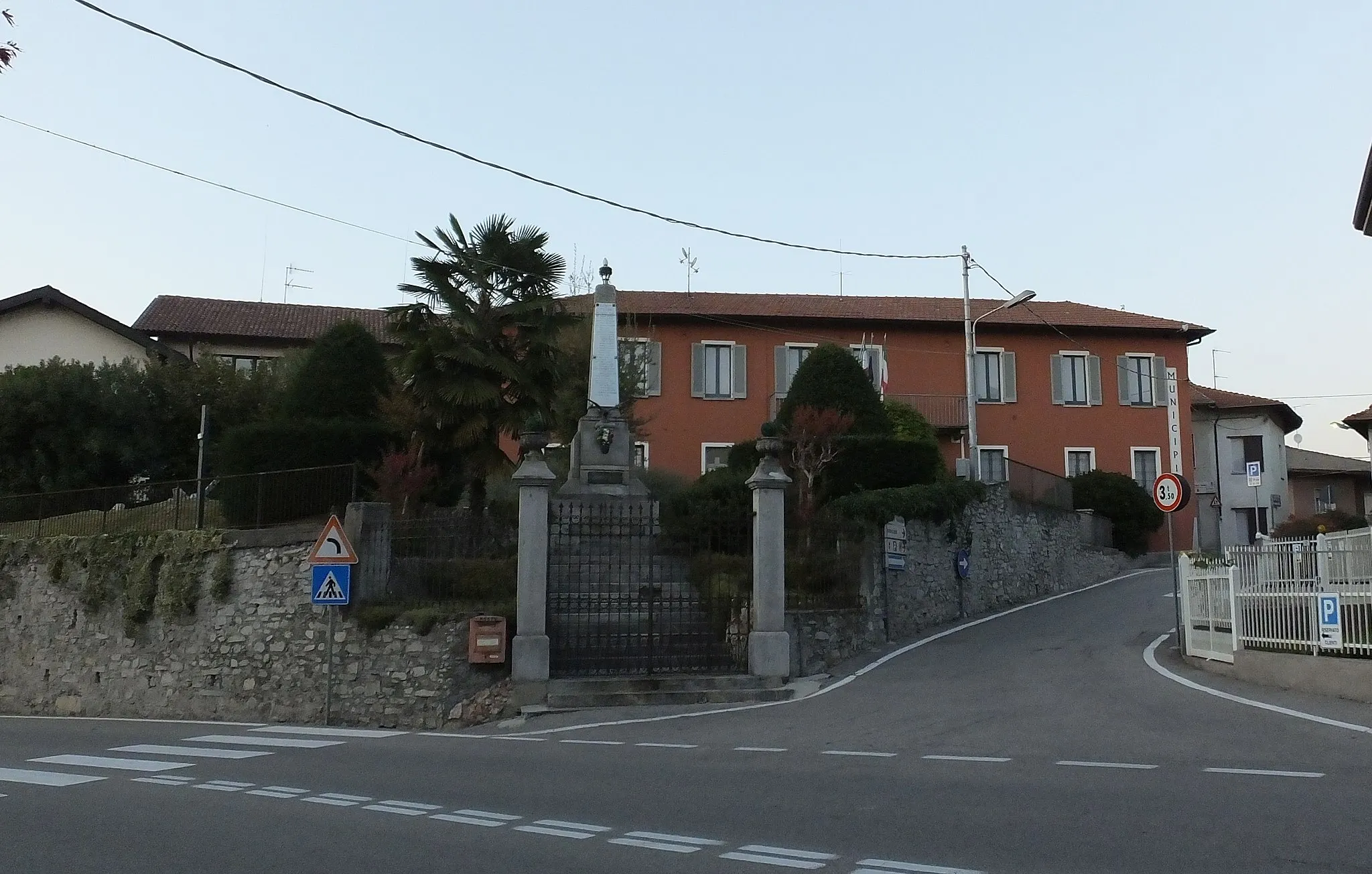
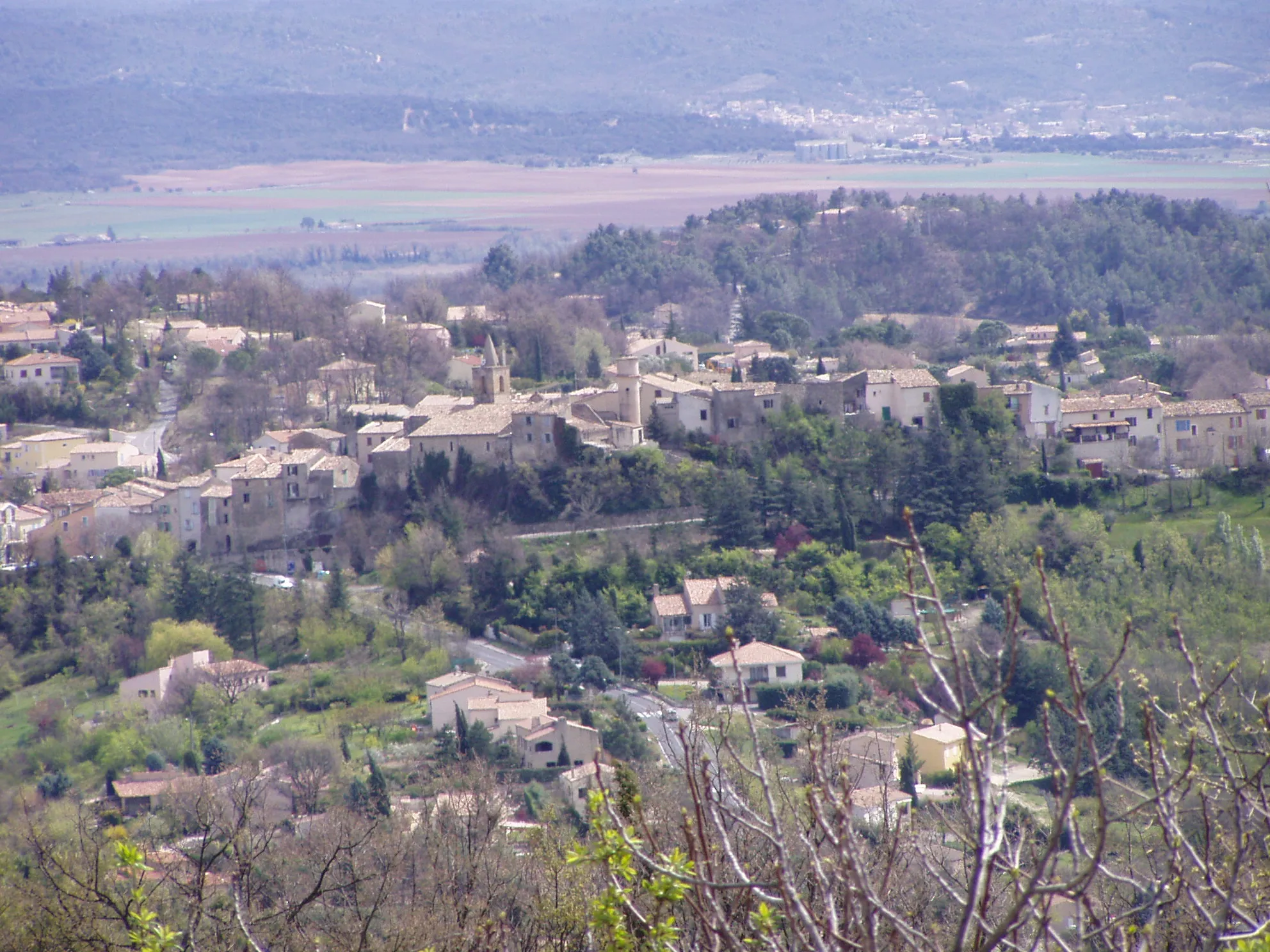
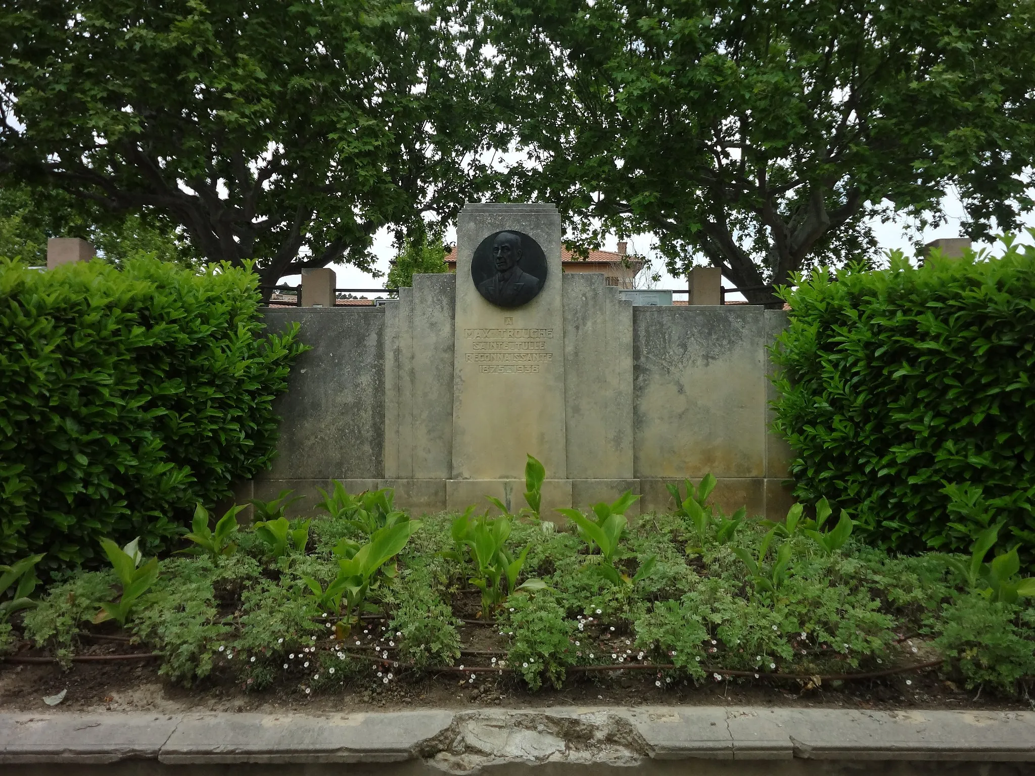
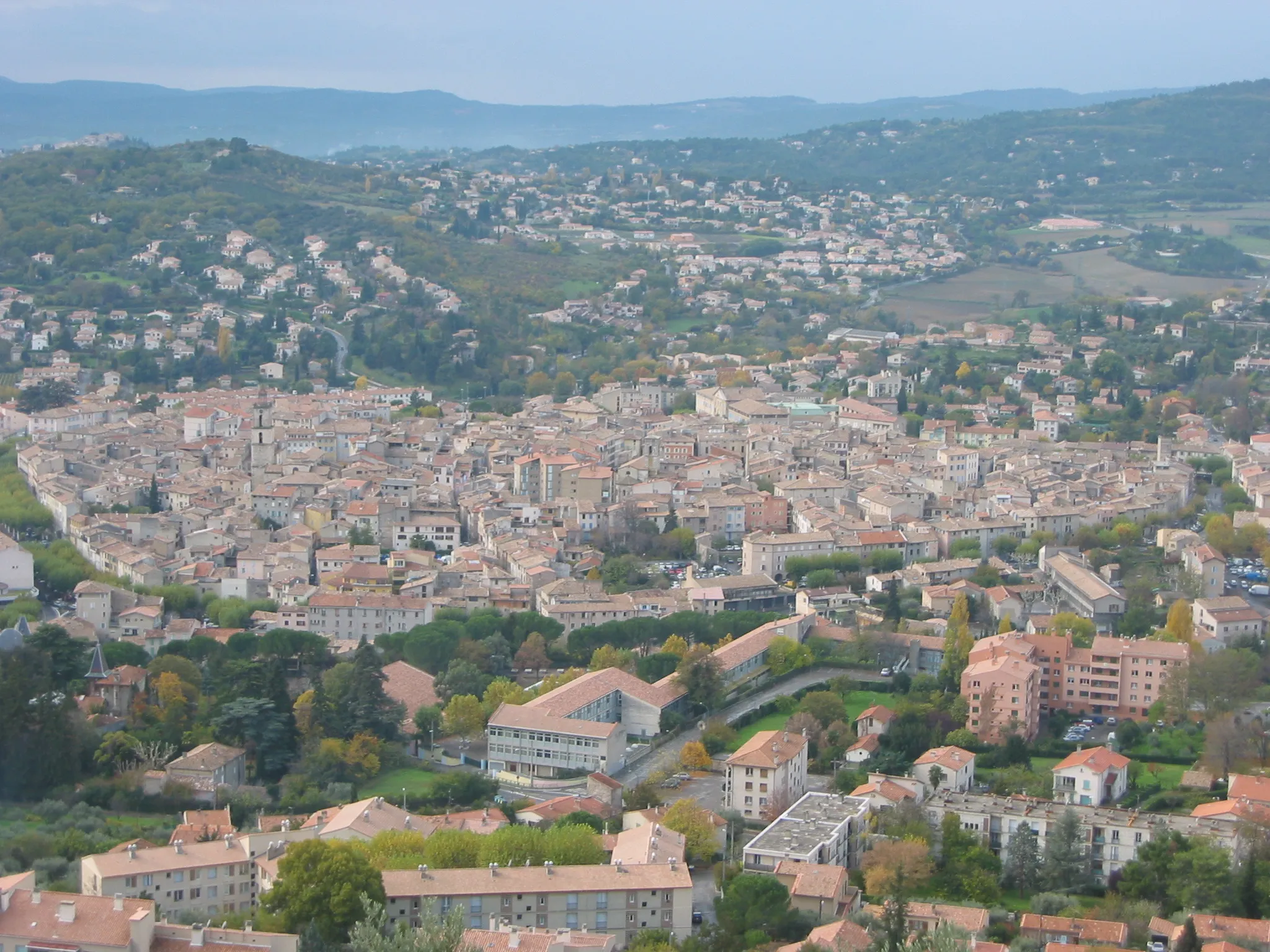
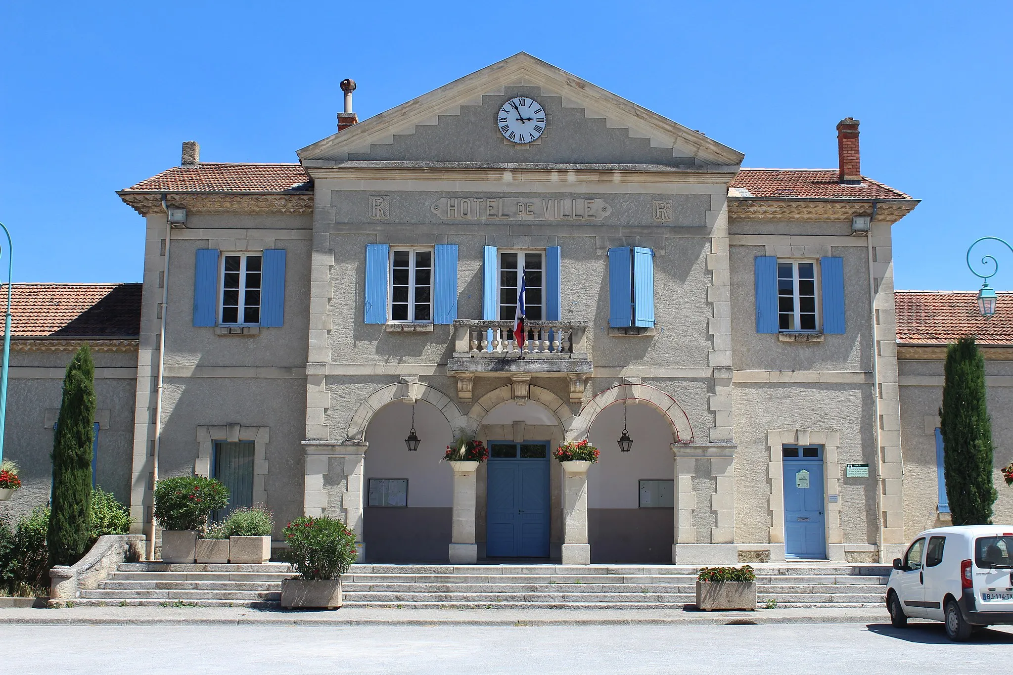
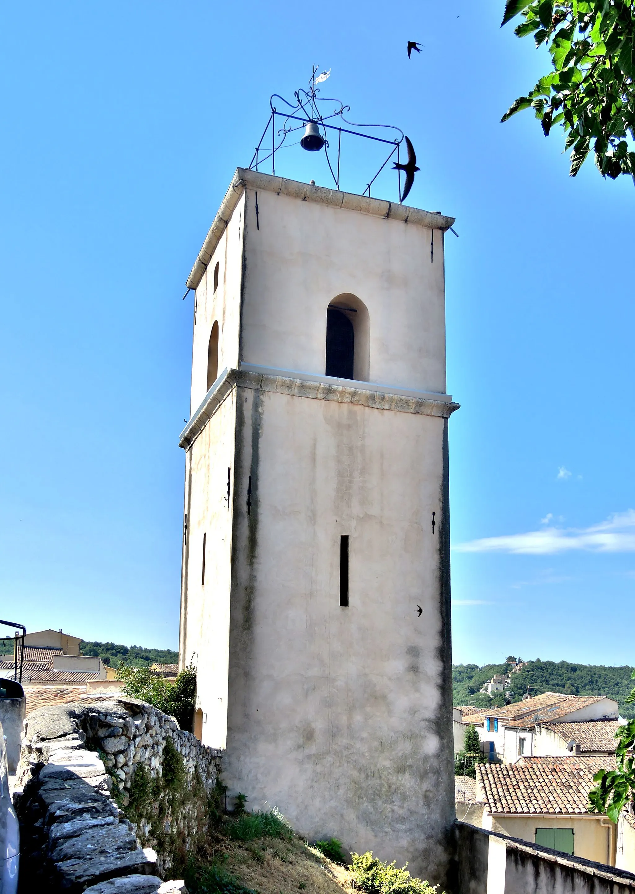
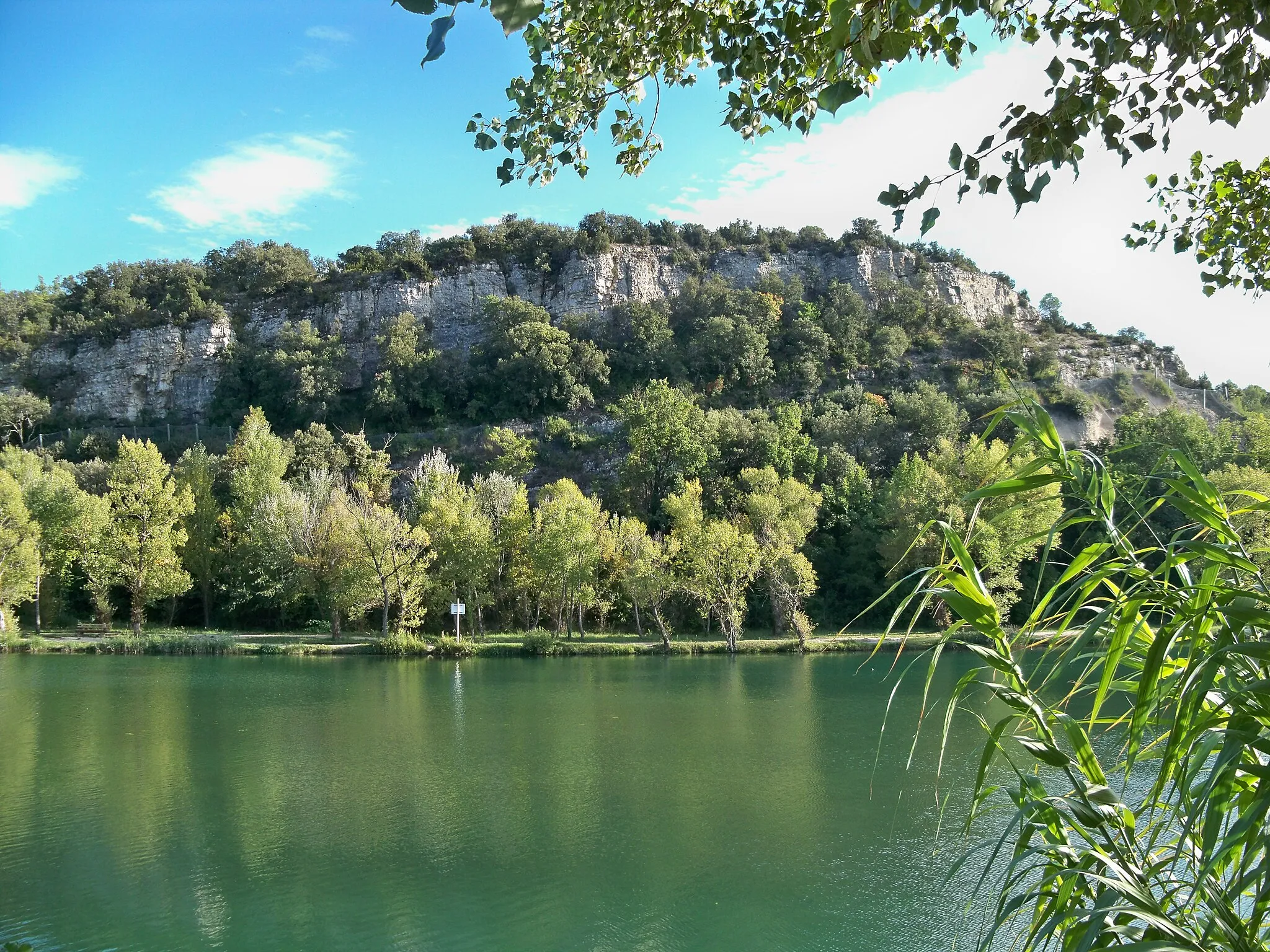
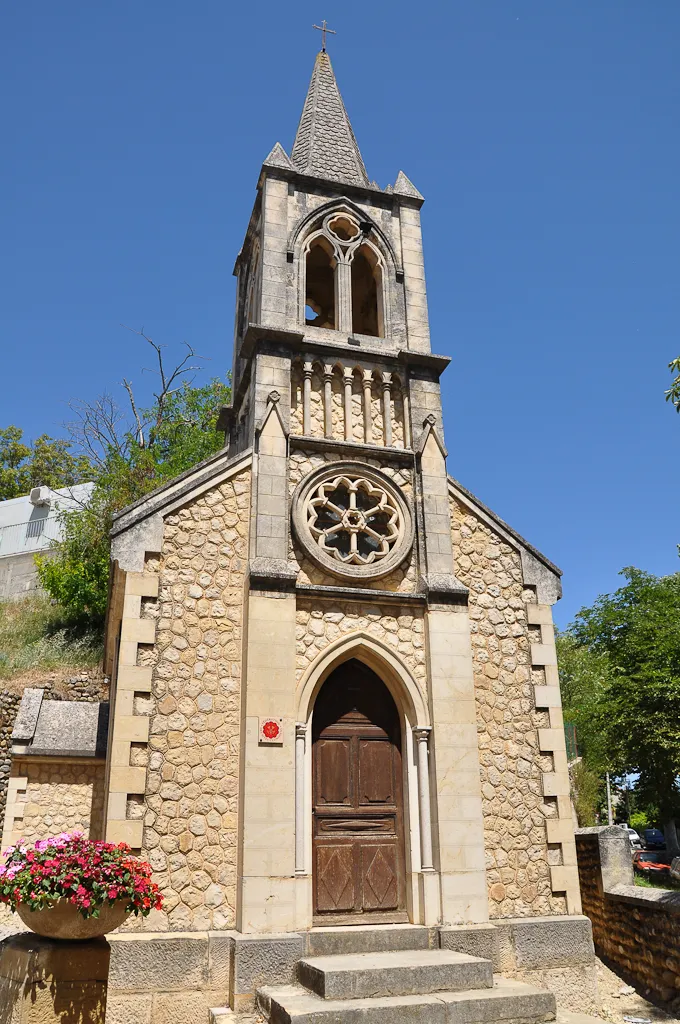
Pierrevert is a charming village in the Provence-Alpes-Côte d’Azur region of France. The locality offers scenic routes surrounded by picturesque vineyards and olive groves. Cyclists can enjoy the Mediterranean climate while exploring the beautiful countryside. Nearby, there are several popular climbs, such as Mont Lachens, which attract both recreational and professional cyclists. Pierrevert receives a rank of 4 in terms of cycling suitability and tourism due to its natural beauty and renowned cycling spots.
The Mort d'Imbert Challenge
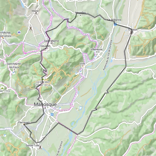
A scenic ride taking you to the summit of Col de la Mort d'Imbert.
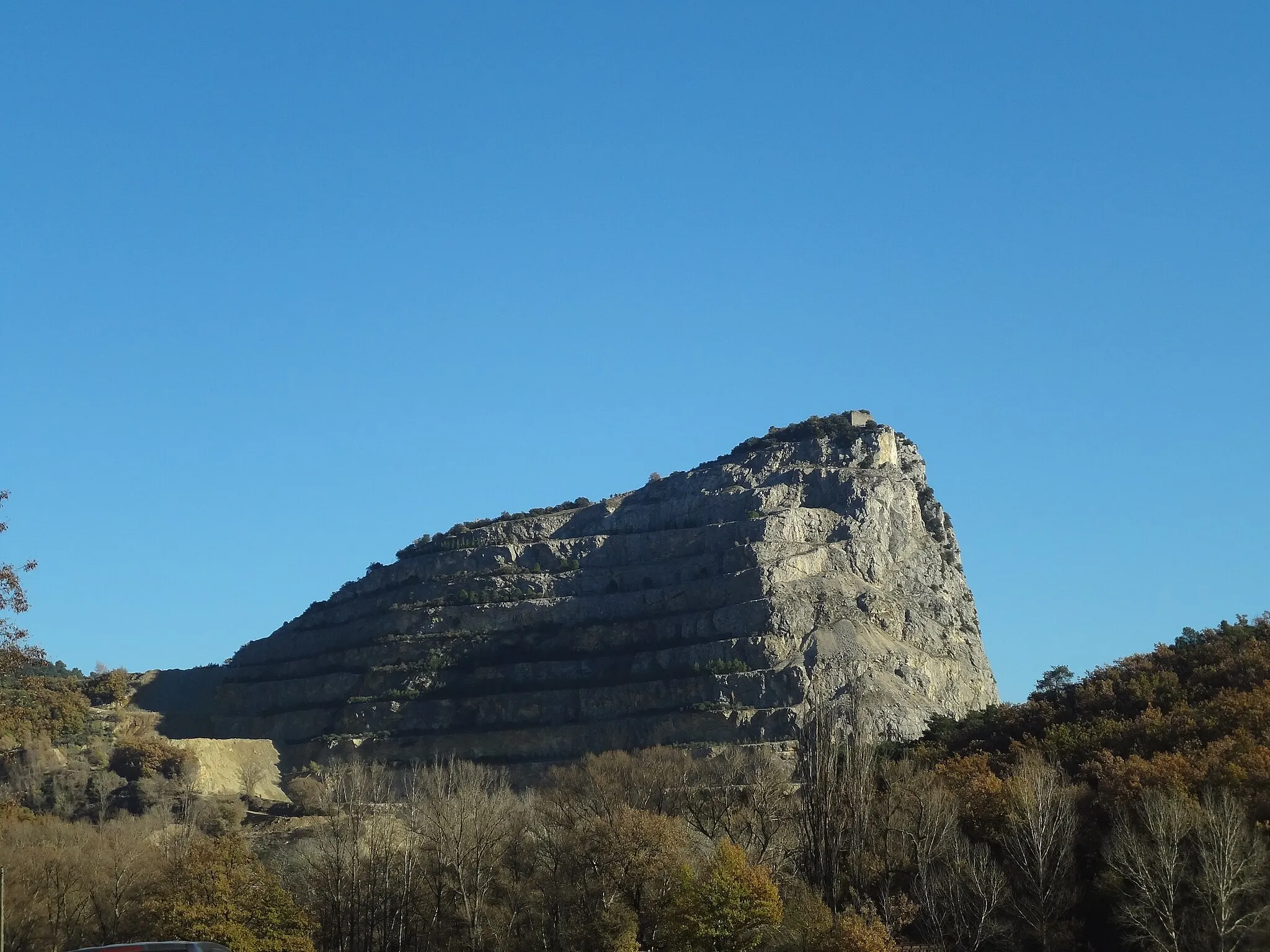
Embark on this 60-kilometer road cycling route that will take you from Pierrevert to the summit of Col de la Mort d'Imbert. With a relatively moderate difficulty level of 2, the ride includes an ascent of 785 meters and offers breathtaking views along the way. Starting in Pierrevert, you'll quickly begin the ascent up to the summit of Col de la Mort d'Imbert, surrounded by scenic landscapes and fragrant lavender fields. Along the way, you'll pass through the charming village of Saint-Maime and arrive at the picturesque town of La Brillanne. Overall, this route offers a challenging yet rewarding cycling experience, with stunning natural beauty and charming Provençal villages to explore.
The Hillside Loop
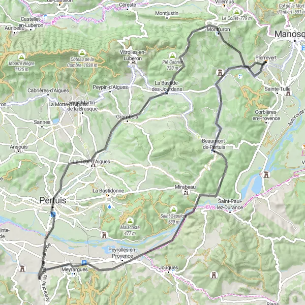
Rolling panoramas and picturesque villages make this route a true delight.
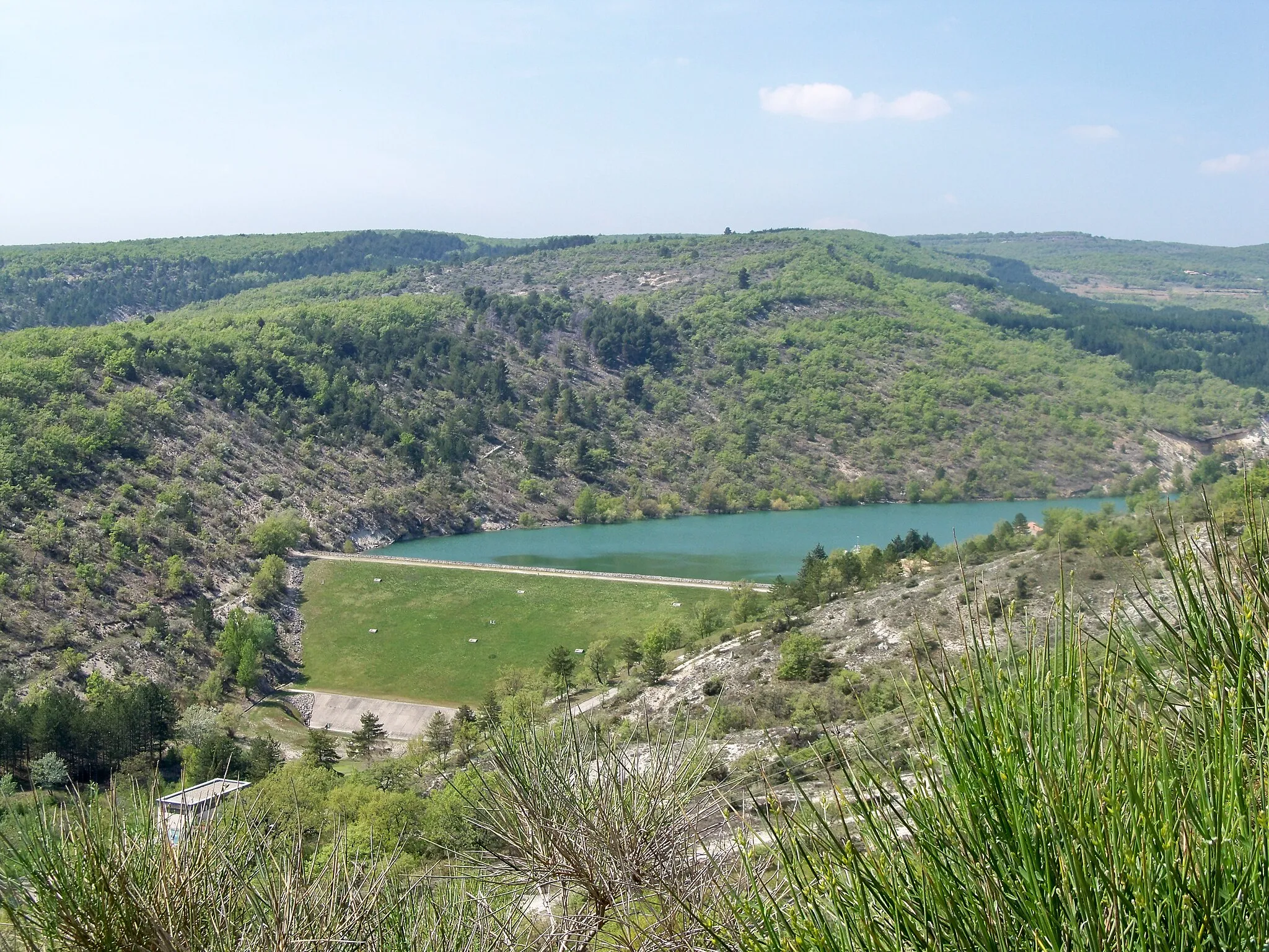
This round-trip cycling route near Pierrevert takes you through stunning landscapes and charming Provençal villages. With a moderate difficulty level of 3, the ride covers a distance of 83 kilometers and includes an ascent of 1,092 meters. Beginning in Beaumont-de-Pertuis, the route leads you through the historic Durance Valley, where you can admire the old Pont de Mirabeau. Along the way, you'll also pass through Meyrargues and the beautiful La Tour-d'Aigues. The highlight of the route is the challenging Col de Montfuron, offering breathtaking views of the surrounding countryside and testing your climbing skills. Overall, this route offers a wonderful mix of natural beauty and cultural landmarks, making it a must-ride for cyclists visiting the region.
Conquer the challenging Col de Montfuron and enjoy the picturesque Le Coulet on this road route
This road route presents a challenging adventure with the ascent of the famous Col de Montfuron and the scenic beauty of Le Coulet. With a distance of 101 km and an ascent of 1792 meters, this route caters to experienced and well-trained cyclists.
A thrilling gravel ride taking you through stunning landscapes and historic sites.
Saddle up for an exhilarating 84-kilometer gravel cycling adventure that will take you from Pierrevert to the historic town of Manosque. With a difficulty level of 4, this route includes an ascent of 1,388 meters and offers breathtaking views of the surrounding countryside. Starting in Pierrevert, the route leads you through picturesque landscapes and the charming village of Saint-Martin-les-Eaux. Along the way, you'll pass by the impressive La Citadelle and the historic town of Forcalquier. The highlight of the route is the challenging Col de Montfuron, where you'll be rewarded with panoramic views. Overall, this gravel adventure offers a unique opportunity to explore the diverse landscapes and rich history of the region, making it a true epic journey for passionate cyclists.
Embark on a gravel adventure and explore the historic attractions of Saint-Michel-l'Observatoire and Château de Sauvan
This gravel route encompasses historical landmarks like Saint-Michel-l'Observatoire and Château de Sauvan while providing a thrilling cycling experience. With a distance of 40 km and an ascent of 929 meters, this route offers a moderate challenge.
A scenic road cycling route featuring charming villages and beautiful countryside.
Experience the charm of the Provence-Alpes-Côte d’Azur region with this 53-kilometer road cycling route known as the Bastide Loop. With a difficulty level of 2, this route includes an ascent of 1,026 meters and takes you through picturesque landscapes and historic sites. Starting in La Bastide-des-Jourdans, the route leads you through the scenic countryside of the Luberon region. Along the way, you'll pass through the quaint village of Céreste and conquer the challenging Col de Montfuron before reaching the charming village of Montfuron. Overall, this route offers a mix of natural beauty and cultural landmarks, making it a delightful cycling experience for all level of riders.
Experience the beauty of Saint-Martin-les-Eaux and reach the magnificent La Citadelle on this gravel route
This gravel route showcases the charm of Saint-Martin-les-Eaux and culminates in a visit to the grand La Citadelle. With a distance of 77 km and an ascent of 1572 meters, this route offers a moderate to challenging adventure.
Discover the charming towns of Manosque and Gréoux-les-Bains on a thrilling gravel ride
This gravel route takes you through picturesque landscapes and allows you to explore the unique attractions of Manosque and Gréoux-les-Bains. With a distance of 56 km and an ascent of 862 meters, this route offers a moderate challenge.
Ride through stunning landscapes and visit noteworthy sites like Château Sainte-Marguerite and Céreste on this gravel route
This gravel route offers a scenic journey through picturesque landscapes and provides the opportunity to explore notable attractions such as Château Sainte-Marguerite and Céreste. With a distance of 65 km and an ascent of 1607 meters, this route presents a challenging adventure for experienced riders.
Embark on an epic 170-kilometer journey through the stunning Verdon Gorge and discover the beauty of Provence-Alpes-Côte d’Azur.
Prepare yourself for an unforgettable adventure with this 170-kilometer road cycling route through the breathtaking Verdon Gorge. With a difficulty level of 5, this challenging route includes an ascent of 3,081 meters and offers jaw-dropping views at every turn. Starting in Manosque, the route takes you through picturesque villages such as Valensole and Puimoisson, with their charming Provençal architecture. As you continue, you'll arrive at the iconic village of Moustiers-Sainte-Marie, nestled at the foot of towering cliffs. The highlight of the route is the Terrasse Travertine, a natural terrace offering panoramic views of the Verdon Gorge. Overall, this route is truly epic, offering an unparalleled opportunity to explore one of the most beautiful and dramatic landscapes in the region. It is a must-ride for experienced cyclists seeking an adventure of a lifetime.
Cycling routes nearby:
Nearby regions: