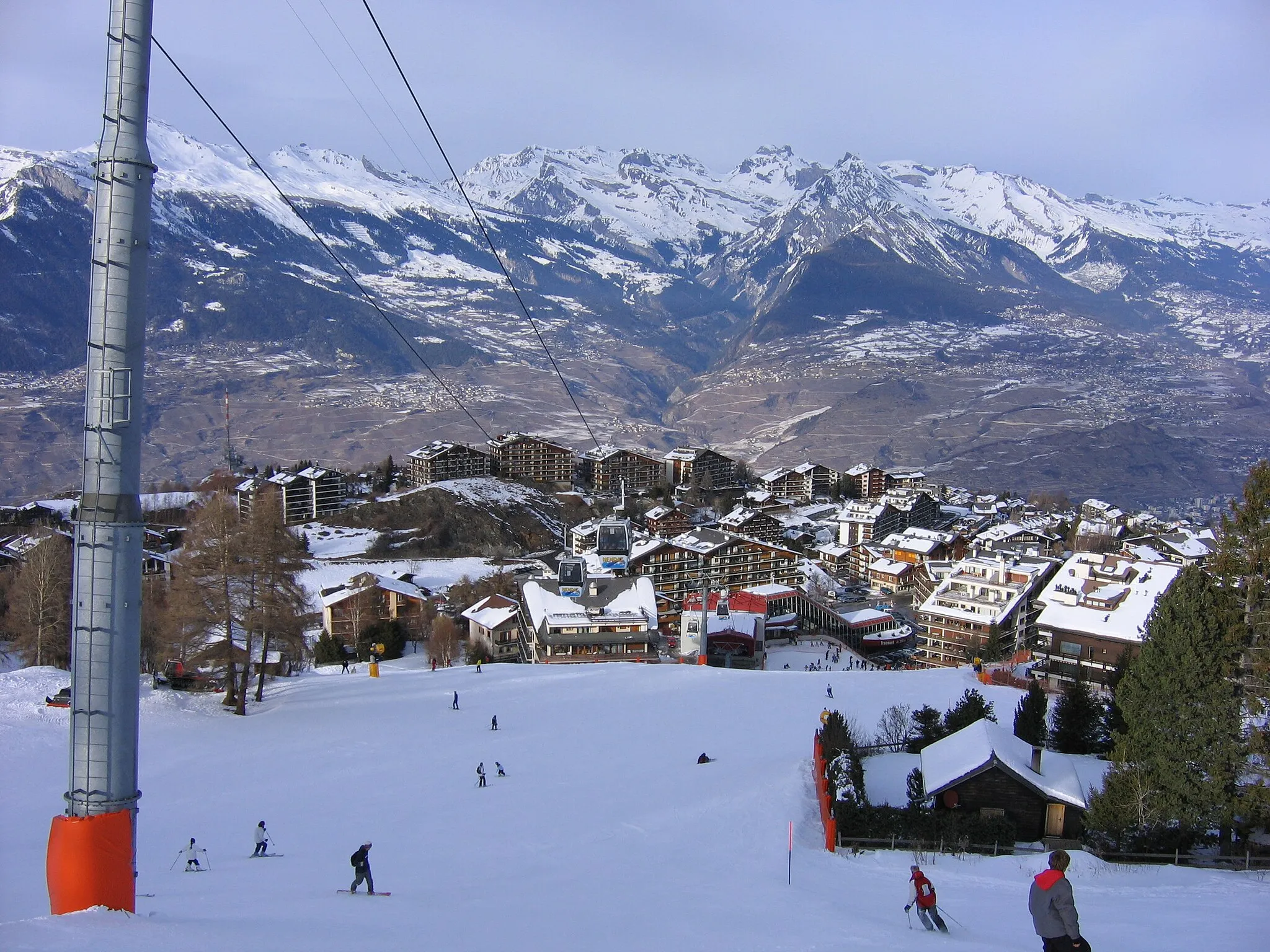
Conquer Mont Ventoux in Sarrians
Cycling routes from Sarrians
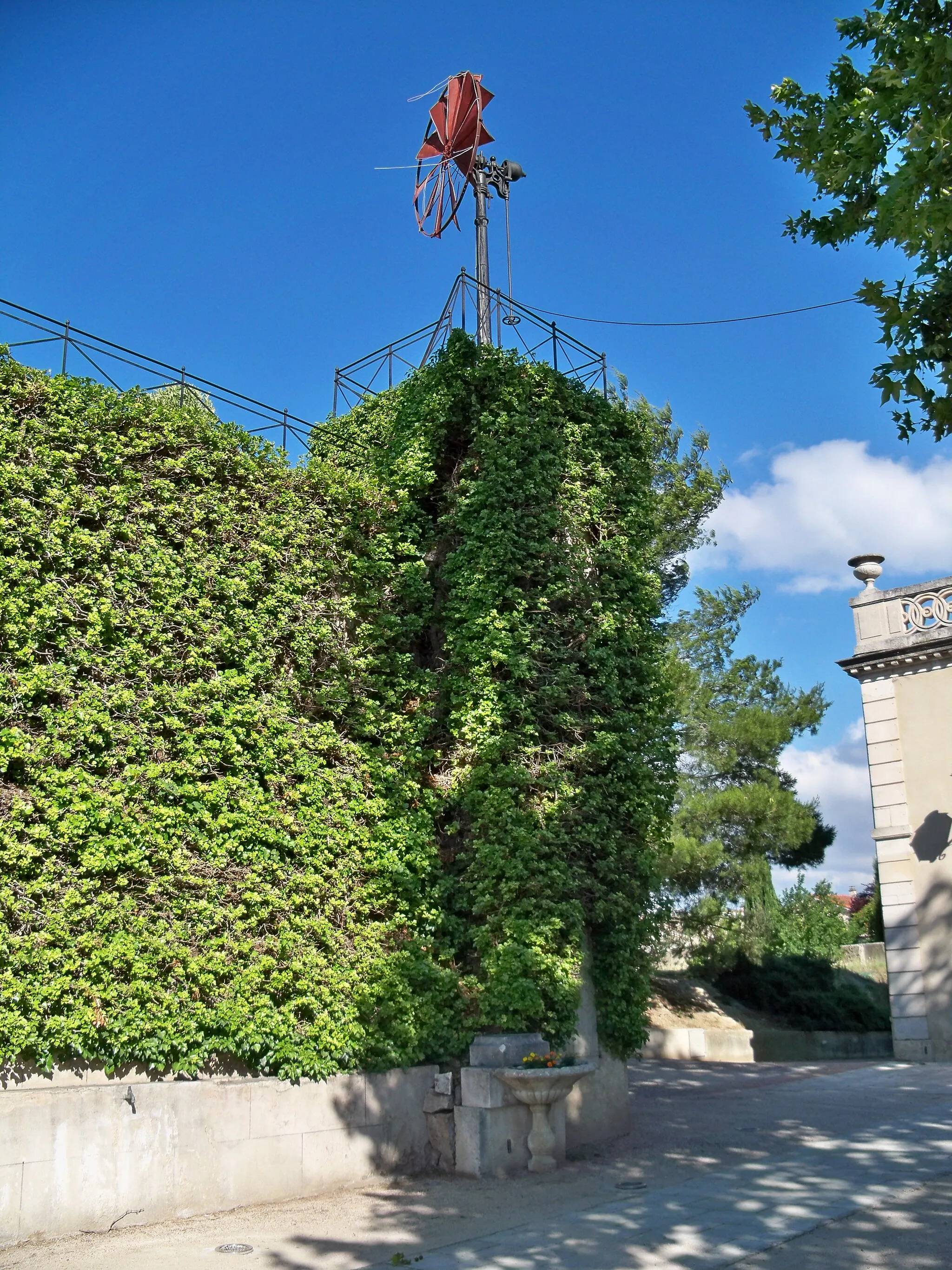
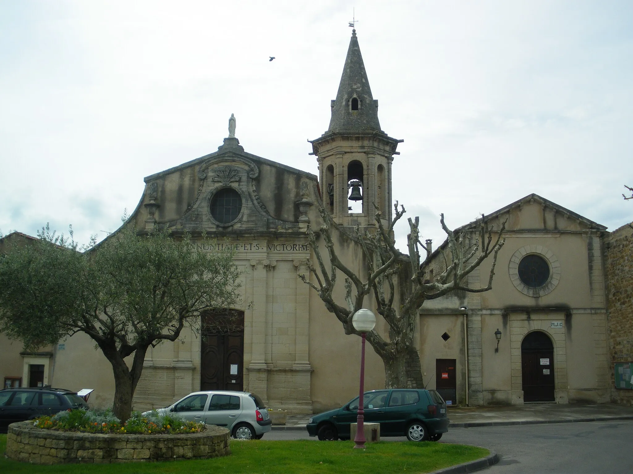
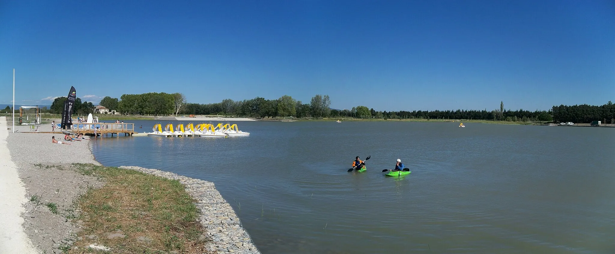
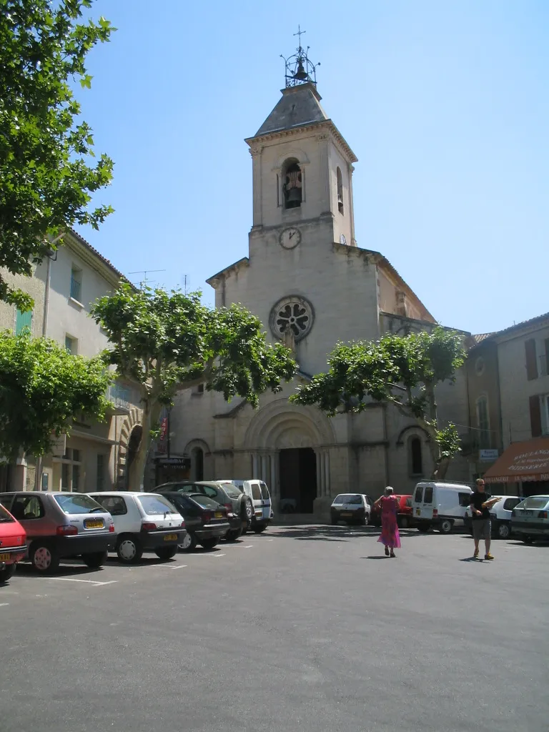
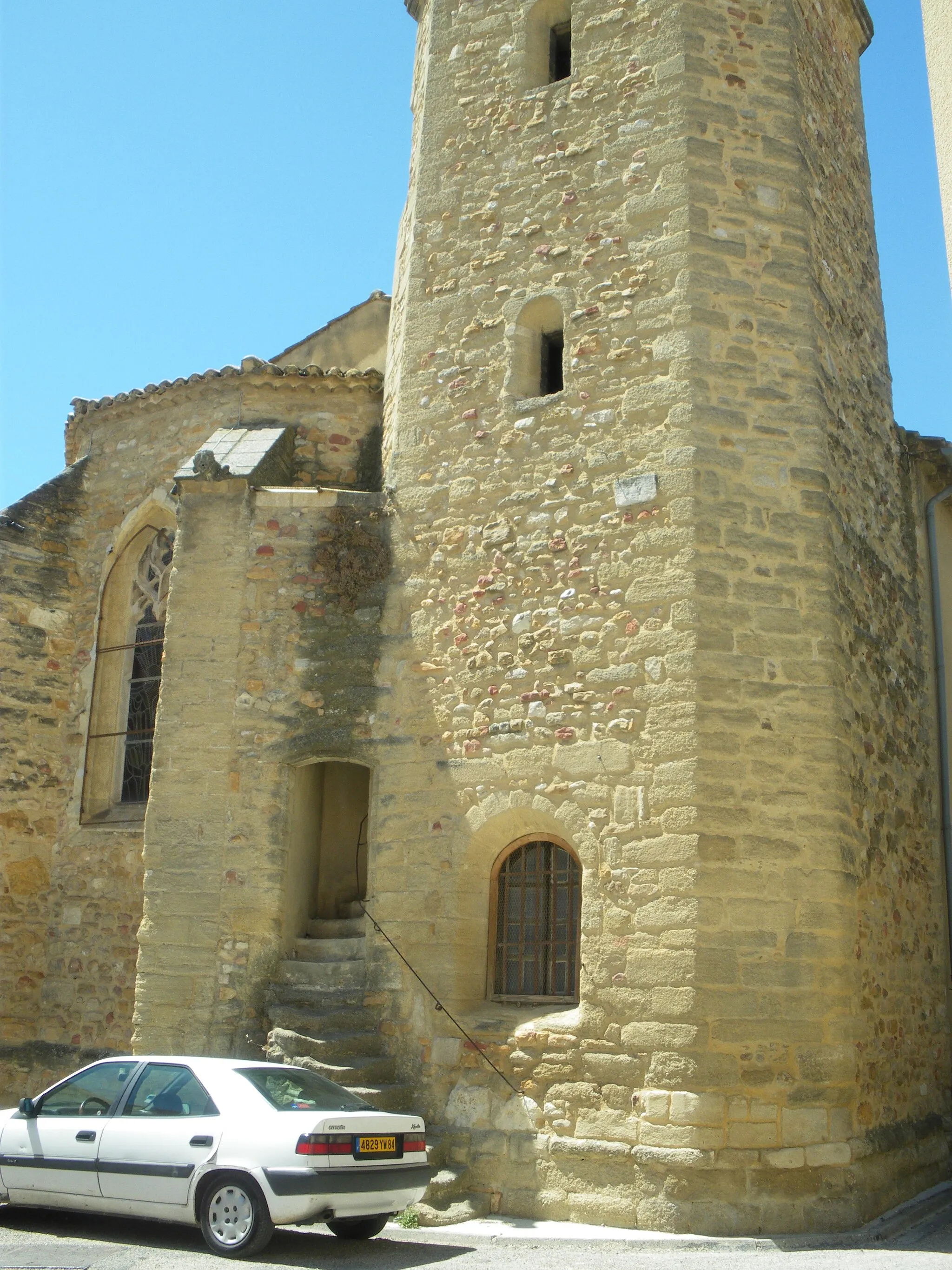
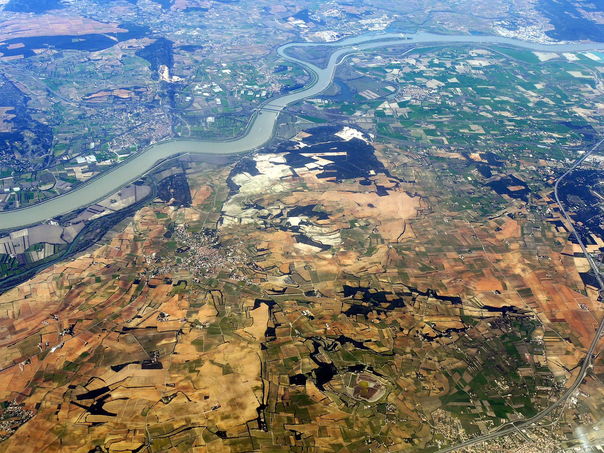
Sarrians is a town located in the Provence-Alpes-Côte d’Azur region of France. Cyclists can explore the beautiful countryside and enjoy rides through vineyards and lavender fields. Sarrians offers a mix of road and gravel cycling routes, providing variety for different cycling preferences. The area is known for its famous climb, Mont Ventoux, which is a challenging ascent that has featured in the Tour de France. Whether you're seeking epic climbs or scenic leisure rides, Sarrians has something to offer cyclists of all levels. With its stunning landscapes and world-renowned cycling spots, Sarrians is a top destination for cycling enthusiasts.

Embark on a challenging road cycling journey and explore the breathtaking hilltops near Sarrians
The Hilltop Adventure is a challenging road cycling route that takes you to some of the most spectacular viewpoints in the Provence-Alpes-Côte d'Azur region. With a high ascent of 614 meters, this route is suitable for experienced cyclists looking for a demanding ride. Along the way, you'll pass through Vedène, Avignon, Rochefort-du-Gard, Valliguières, Saint-Geniès-de-Comolas, and Orange. The route offers stunning panoramic views of the surrounding countryside and allows you to experience the rich history and culture of the area. Highlights of the route include the Rochers des Domes Panoramic View, which offers breathtaking views of the entire region, and the ancient Roman theater in Orange.
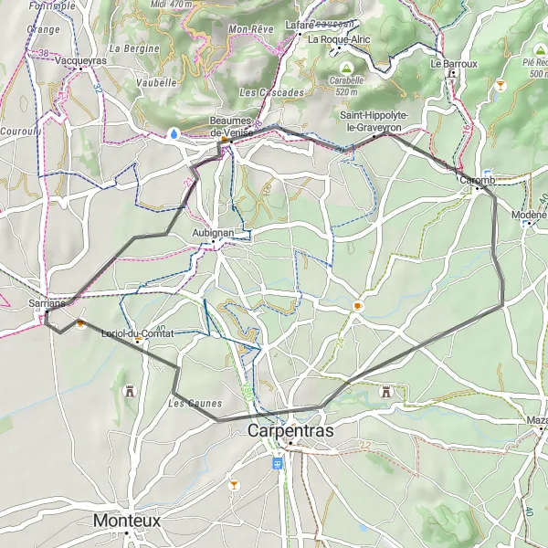
Enjoy a scenic road cycling route through Caromb and Loriol-du-Comtat.
This road cycling route takes you through the charming villages of Caromb and Loriol-du-Comtat. The route is relatively easy, making it suitable for cyclists of all levels. Take in the beautiful scenery of the Provence-Alpes-Côte d’Azur region as you pedal through the countryside.
Rural Escape near Sarrians

Embark on a rural cycling adventure near Sarrians
Immerse yourself in the serene rural landscapes around Sarrians with this 79-kilometer round-trip cycling route. The route features an ascent of 891 meters, providing a moderate yet rewarding challenge for cyclists. The difficulty rating is set at 3 out of 5, suitable for riders with average fitness levels. Enjoy scenic views and discover captivating highlights along the way, such as the charming village of Rasteau and the stunning views from Mirabel-aux-Baronnies. The route's epicness rating is 3 out of 5, offering a memorable and enjoyable ride through the Provençal countryside.
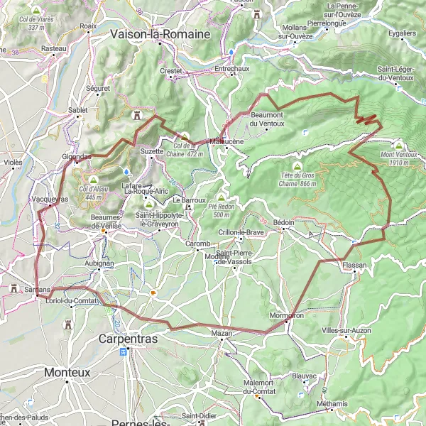
Experience the thrill of gravel biking as you ascend Mont Ventoux, with highlights including Gigondas and Malaucène.
This challenging gravel route takes you from Sarrians to the iconic Mont Ventoux. Along the way, you'll pass through the picturesque villages of Gigondas and Malaucène, and be rewarded with stunning views from the summit. The route is best suited for experienced cyclists who enjoy off-road riding.

Discover the hidden gems around Sarrians on this cycling route
Uncover the hidden gems and lesser-known attractions near Sarrians with this scenic 59-kilometer round-trip cycling route. Designed for those seeking a more relaxed and leisurely ride, the difficulty level of this road cycling tour is rated at 2 out of 5, suitable for amateur riders. Despite its shorter distance, this route offers a unique perspective of the picturesque landscape and includes charming villages and vineyards. With an epicness rating of 2 out of 5, it gives riders an opportunity to explore off-the-beaten-path locations and soak up the tranquility of the countryside.

Take a road cycling adventure through Montfaucon and Saint-Paul-les-Fonts.
This road cycling route takes you through the picturesque villages of Montfaucon and Saint-Paul-les-Fonts. Enjoy the tranquility of the countryside as you pedal along quiet roads lined with vineyards and olive groves. The route is relatively easy, making it suitable for cyclists of all levels.
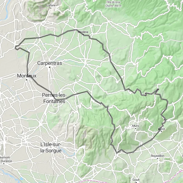
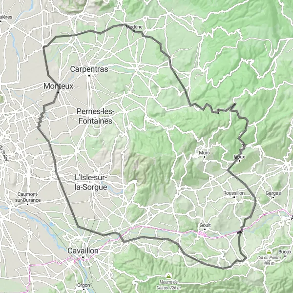
Embark on a challenging cycling journey around Sarrians
Get ready for an exhilarating adventure with this 100-kilometer round-trip cycling route near Sarrians. With an ascent of 1565 meters, it provides a test of endurance and skill for experienced riders. Rated at 4 out of 5 for difficulty, this road cycling tour is designed for athletes seeking a challenging ride. The epicness rating is also high, at 4 out of 5, as it takes you through scenic landscapes and several iconic attractions. Along the route, you'll encounter fascinating highlights such as the Abbaye Notre-Dame de Sénanque and the medieval town of Pernes-les-Fontaines.

Take on the scenic hillside roads and experience breathtaking views near Sarrians
The Hillside Challenge is a road cycling route that takes you through the beautiful hillside countryside near Sarrians. With a significant ascent of 949 meters, this route is suitable for experienced cyclists looking for a challenging ride. Along the way, you'll pass through Bédarrides, Saint-Geniès-de-Comolas, Connaux, Cavillargues, Saint-André-d'Olérargues, Montclus, Le Serre, Pont-Saint-Esprit, Uchaux, and Jonquières. The route offers stunning views of the picturesque countryside and allows you to explore charming villages and historical landmarks. Highlights of the route include the medieval village of Saint-Geniès-de-Comolas, known for its wine production and narrow streets, and the impressive Pont-Saint-Esprit bridge over the Rhône river.
The Mountain Challenge
Take on the challenging mountain roads and enjoy breathtaking vistas near Sarrians
The Mountain Challenge is a road cycling route that provides experienced cyclists with a thrilling adventure through challenging mountainous terrain near Sarrians. With an ascent of 1410 meters, this route is suitable for those seeking a demanding and epic ride. Along the way, you'll traverse Aubignan, Caromb, Blauvac, Château de Saint-Lambert, Château de Parrotier, Belvédère, Bonnieux, Ménerbes, Le Thor, and Monteux. The route offers breathtaking vistas of the surrounding mountains and allows you to discover charming villages and cultural landmarks. Highlights of the route include the Château de Saint-Lambert, a majestic castle perched on a hilltop with stunning panoramic views, and the beautiful village of Bonnieux, known for its narrow streets and vibrant Provençal atmosphere.
Scenic Tour of Sarrians
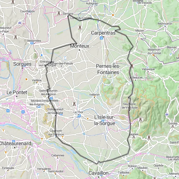
Cycle through charming towns and countryside in Sarrians
This round-trip cycling route near Sarrians takes you through picturesque landscapes, charming towns, and historic sites. The route covers a distance of 80 kilometers with an ascent of 536 meters. Suitable for road biking, the tour provides a delightful experience for cyclists of all levels. In terms of difficulty, it is rated at 3 out of 5, making it ideal for well-trained amateur riders. With a good balance between challenge and enjoyment, it offers an epicness rating of 3 out of 5.
Cycling routes nearby:


Nearby regions: