Conquer the legendary Col du Grand Colombier and explore the scenic routes of Andrézieux-Bouthéon
Cycling routes from Andrezieux-Boutheon
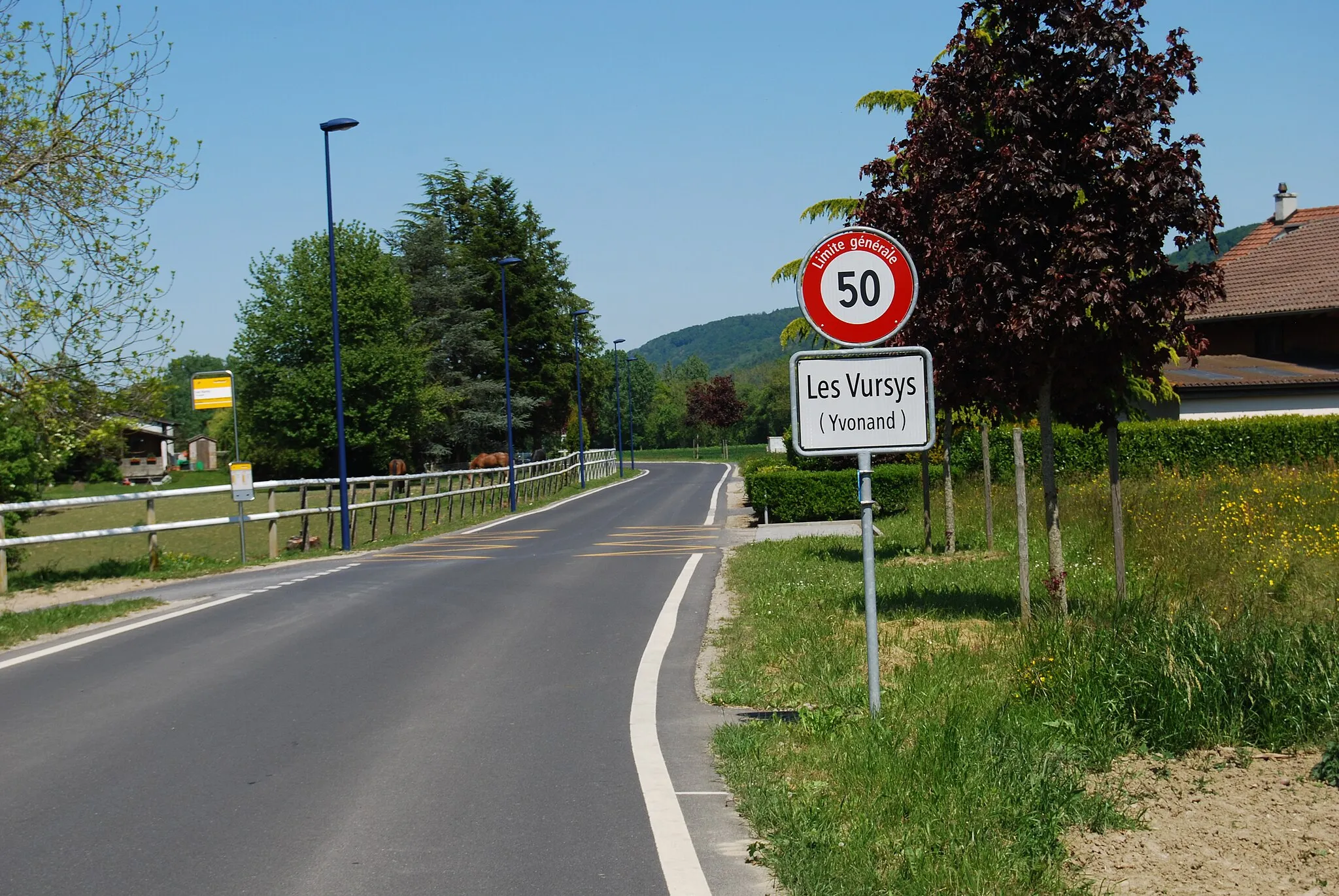
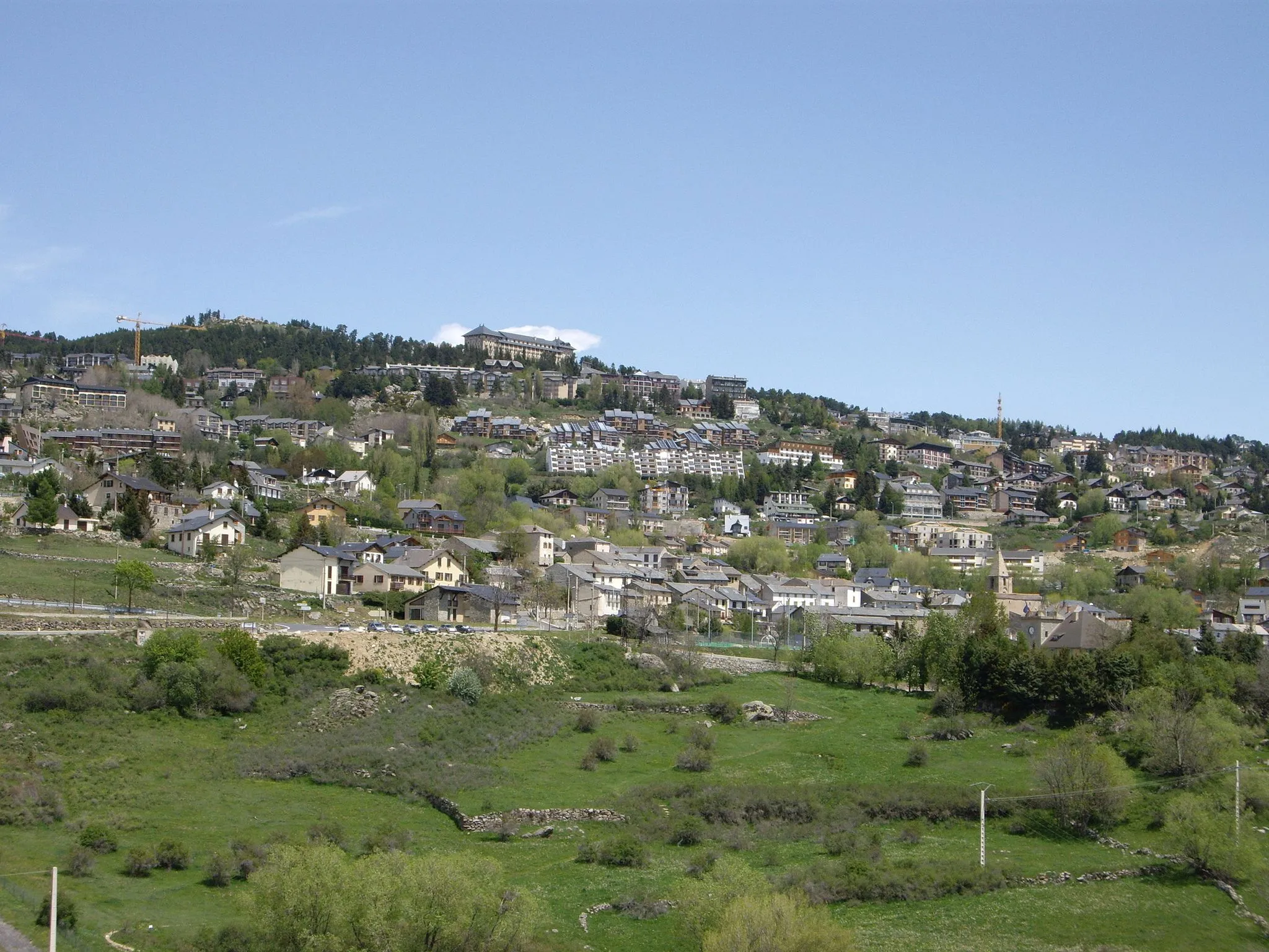
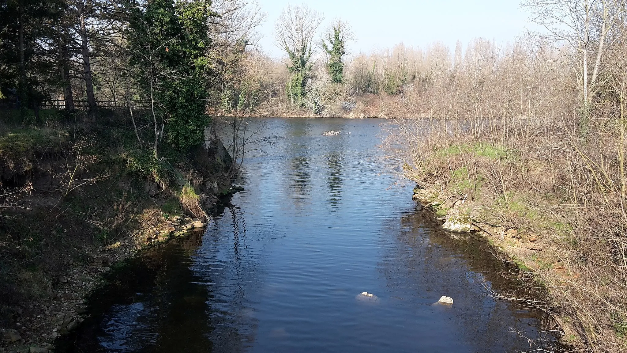
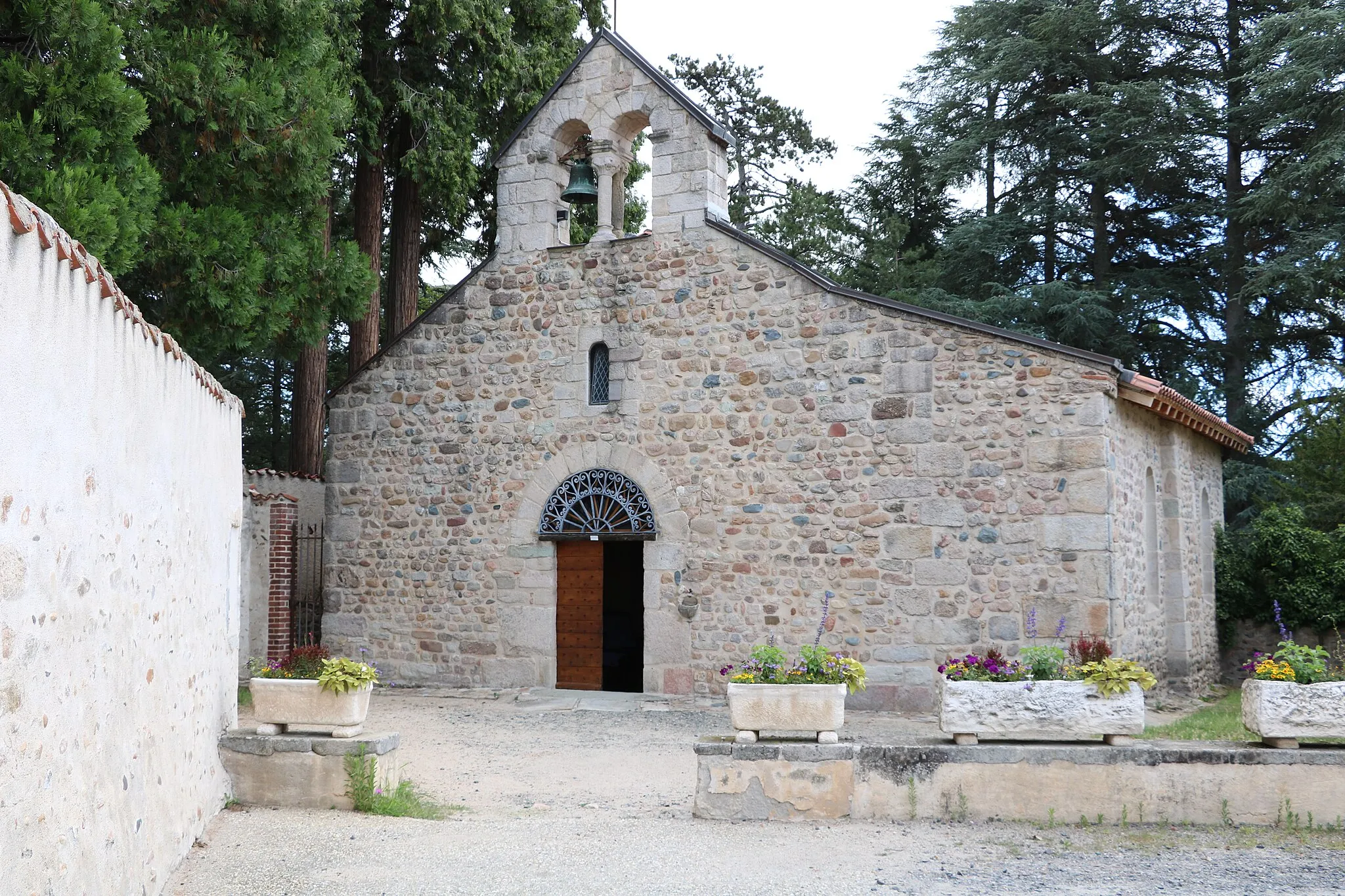
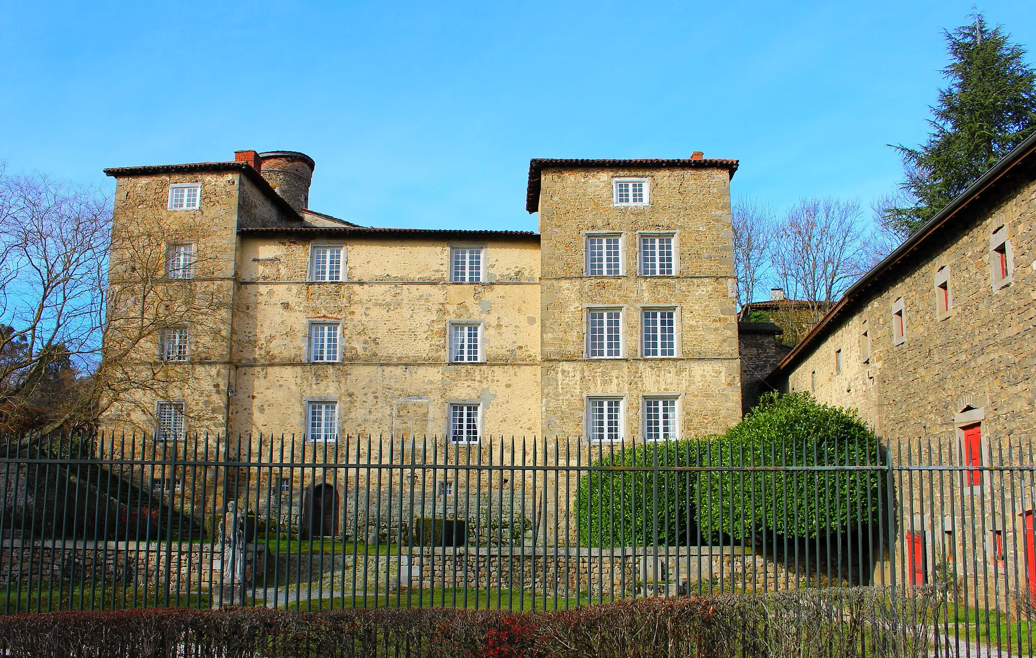
Andrézieux-Bouthéon is a town located in the Rhône-Alpes region of France. From a cyclist's perspective, Andrézieux-Bouthéon offers a variety of cycling options, from flattish routes along the Loire River to more challenging climbs in the nearby mountains. One notable cycling spot nearby is the Col du Grand Colombier, a legendary climb that is often featured in professional races. Overall, Andrézieux-Bouthéon is a great locality for road cyclists looking to tackle famous climbs and enjoy scenic landscapes.
Explore the winding gravel roads and challenging mountain ascents of Saint-Just-Saint-Rambert and Col des Limites.
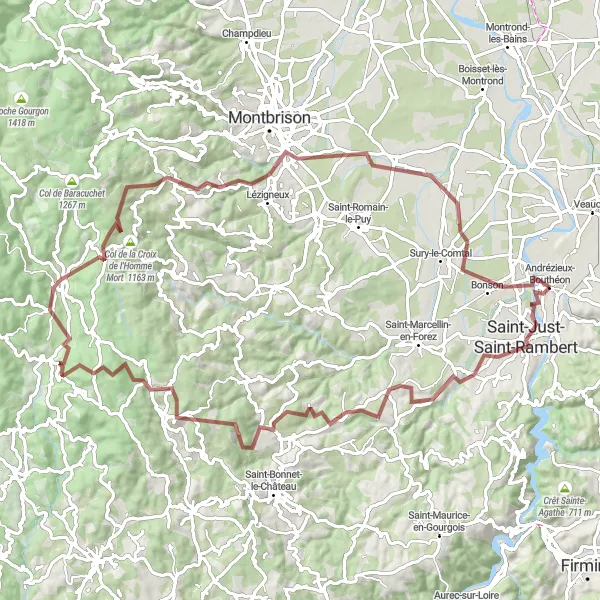
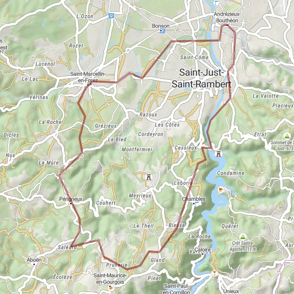
Embark on a thrilling gravel adventure through the picturesque mountains near Andrézieux-Bouthéon. This 91-kilometer route offers stunning scenery, challenging climbs, and a mix of gravel and paved roads. With highlights including Saint-Just-Saint-Rambert, Col de la Croix de Joanziecq, and Bonson, this route is perfect for experienced riders looking for an epic off-road adventure.
Embark on an adrenaline-pumping gravel cycling adventure from Roche-la-Molière to Bonson
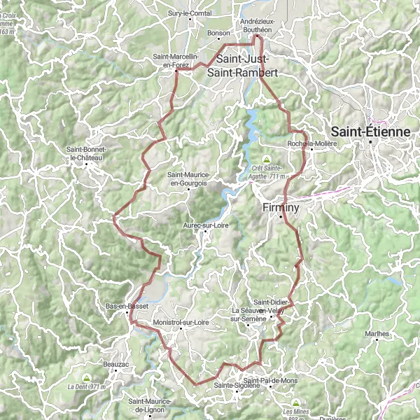
Get off the beaten track and experience the thrill of gravel cycling with this adventurous route from Roche-la-Molière to Bonson. Covering a distance of 98 km and an ascent of 1915 m, this route takes you through rugged terrains and remote landscapes, with highlights including the enchanting village of Saint-Just-Malmont and the picturesque town of Rozier-Côtes-d'Aurec.
Experience the thrill of road cycling through the picturesque landscapes of Saint-Hilaire-Cusson-la-Valmitte and Périgneux.
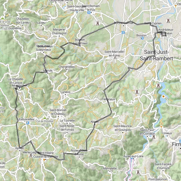
Prepare for an unforgettable road cycling adventure through the stunning landscapes surrounding Andrézieux-Bouthéon. This 82-kilometer route offers a mix of challenging climbs and exhilarating descents, with highlights including Saint-Hilaire-Cusson-la-Valmitte and Périgneux. Suitable for experienced riders, this route showcases the natural beauty of the region while providing a satisfying physical challenge.
Craintilleux to Saint-Galmier
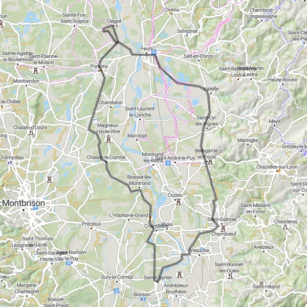
Cycle through picturesque landscapes and picturesque towns on this road cycling route from Craintilleux to Saint-Galmier
Embark on a scenic road cycling adventure from Craintilleux to Saint-Galmier, covering a distance of 72 km with an ascent of 255 m. This route is characterized by its picturesque landscapes and charming towns along the way, including the quaint village of Poncins, the historic town of Feurs, and the picturesque town of Saint-Galmier.

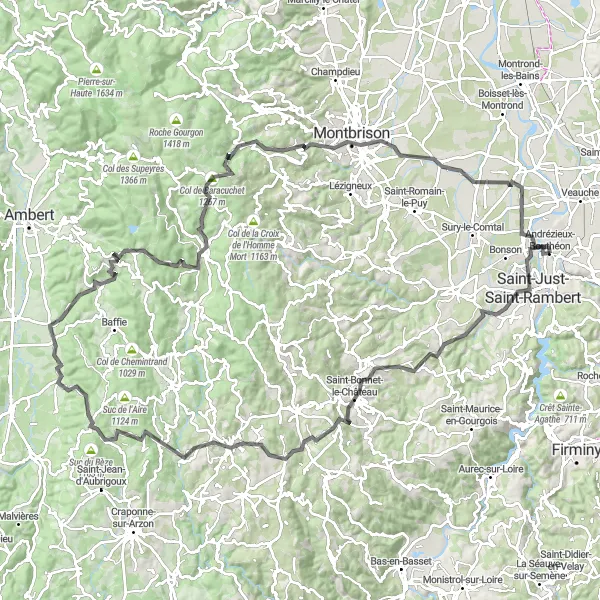
Embark on an epic road cycling journey from Saint-Just-Saint-Rambert to Saint-Cyprien
Prepare for an epic road cycling adventure from Saint-Just-Saint-Rambert to Saint-Cyprien, covering a distance of 102 km and a challenging ascent of 1712 m. This route showcases the diverse landscapes of the region, from the picturesque town of Saint-Just-Saint-Rambert to the stunning vistas of Col de Baracuchet and the impressive Pic de Bard.
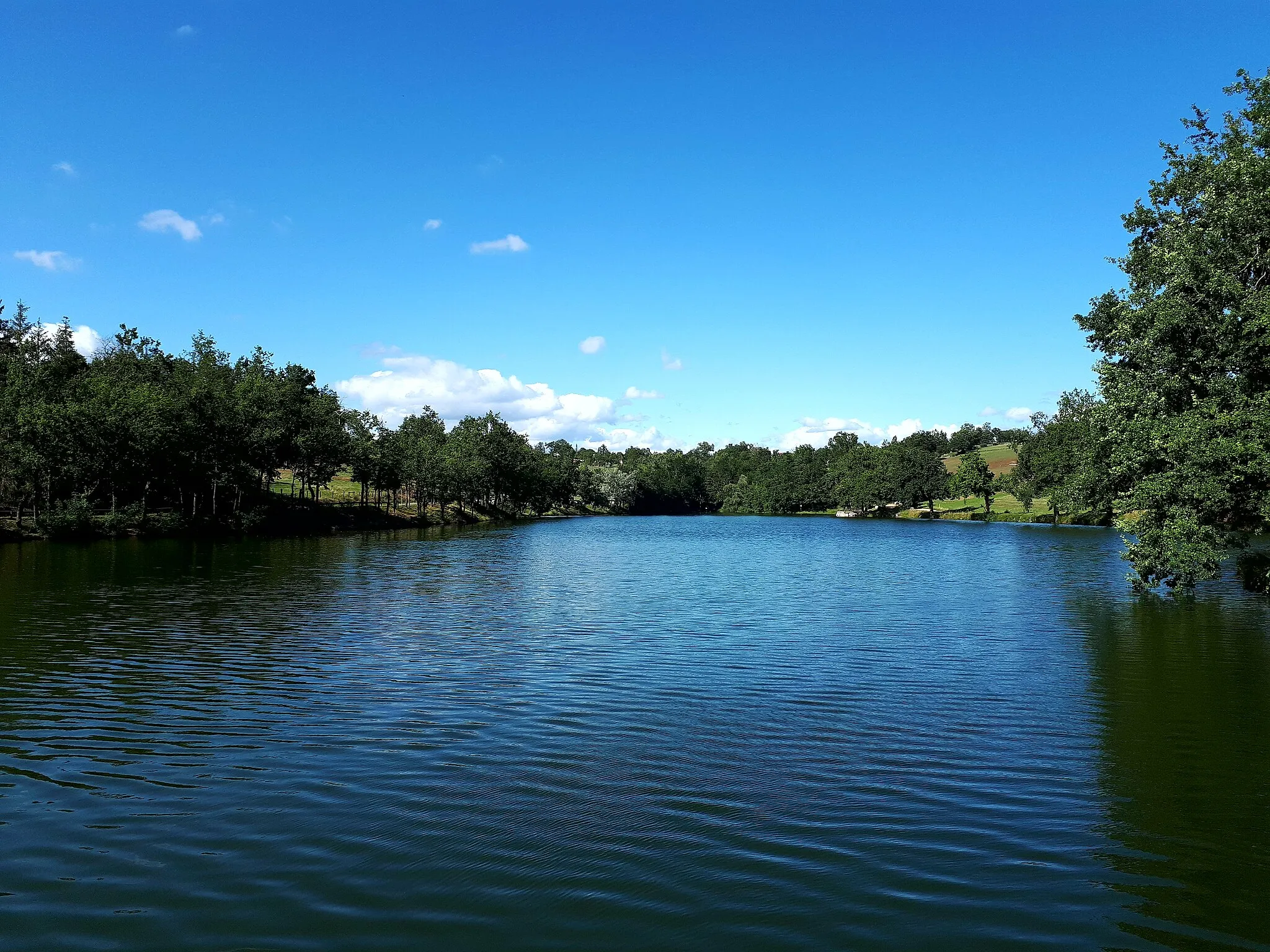
Discover the stunning beauty of Lake Grangent as you ride through the scenic gravel trails of Chambles and Périgneux.
Prepare for a scenic gravel adventure that takes you on a 41-kilometer journey around the breathtaking Lake Grangent. Along the way, you'll encounter picturesque villages, rolling hills, and captivating landscapes. With highlights including Chambles and Périgneux, this route is suitable for all skill levels and offers a refreshing escape into nature.
Embark on a breathtaking round-trip from Andrézieux-Bouthéon, exploring stunning landscapes and charming towns
Discover the beauty of the Rhône-Alpes region with this captivating round-trip cycling route from Andrézieux-Bouthéon. Covering a total distance of 135 km and featuring an impressive ascent of 2375 m, this route takes you through picturesque landscapes, including the charming towns of Saint-Just-Saint-Rambert, Apinac, and Saint-Anthème. Experience the thrill of conquering the challenging climbs of Col de Baracuchet and Pic de Bard, and soak in the breathtaking views from Montbrison and Andrézieux-Bouthéon.
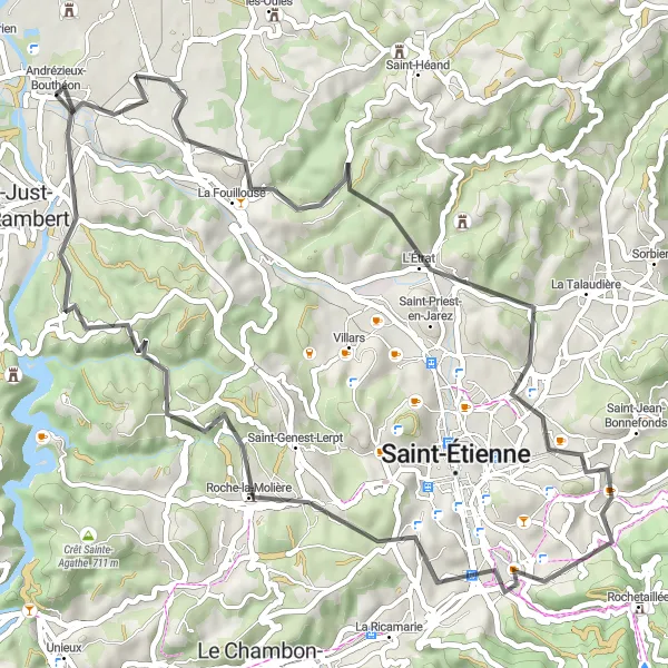
Enjoy the scenic beauty of the Rhône-Alpes region as you cycle through La Fouillouse and Roche-la-Molière.
Immerse yourself in the natural beauty of the Rhône-Alpes region on this 56-kilometer road cycling route. Enjoy stunning mountain views, charming villages, and rolling hills as you explore the picturesque landscapes near Andrézieux-Bouthéon. Highlights of this scenic route include La Fouillouse, L'Étrat, and Roche-la-Molière.
Discover the charming town of Saint-Bonnet-les-Oules and the stunning views from Mont Morin along this road cycling route
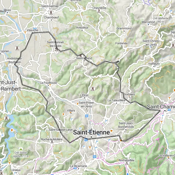
This road cycling route takes you from Andrézieux-Bouthéon to Saint-Just-sur-Loire, with a total distance of 62 km and an ascent of 877 m. The route passes through beautiful landscapes and highlights, including the picturesque town of Saint-Bonnet-les-Oules, the panoramic views from Mont Morin, the historic town of Sorbiers, and the vibrant city of Saint-Étienne.
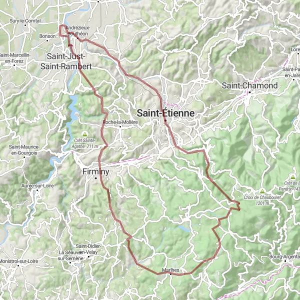
Conquer the legendary Tour observatoire and Col de la République on this epic gravel route near Andrézieux-Bouthéon.
Embark on an epic gravel adventure that will push your limits and take you through the breathtaking mountains near Andrézieux-Bouthéon. This 91-kilometer route is not for the faint of heart, with challenging ascents and thrilling descents. Highlights of this epic route include Tour observatoire, Planfoy, and Saint-Just-sur-Loire.
Cycling routes nearby:

Nearby regions: