Experience the charm of Balan and explore its vineyards and hills
Cycling routes from Balan
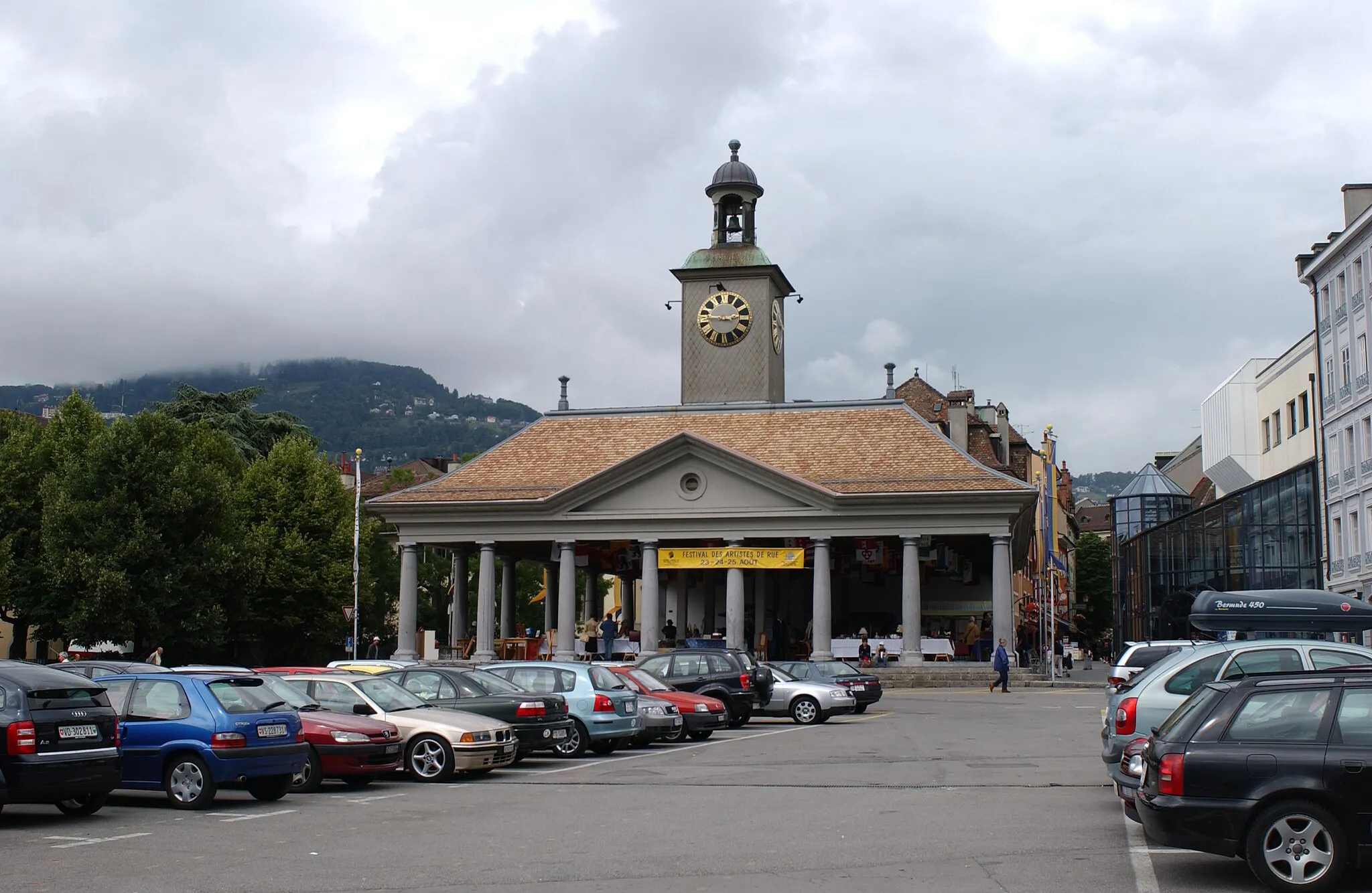
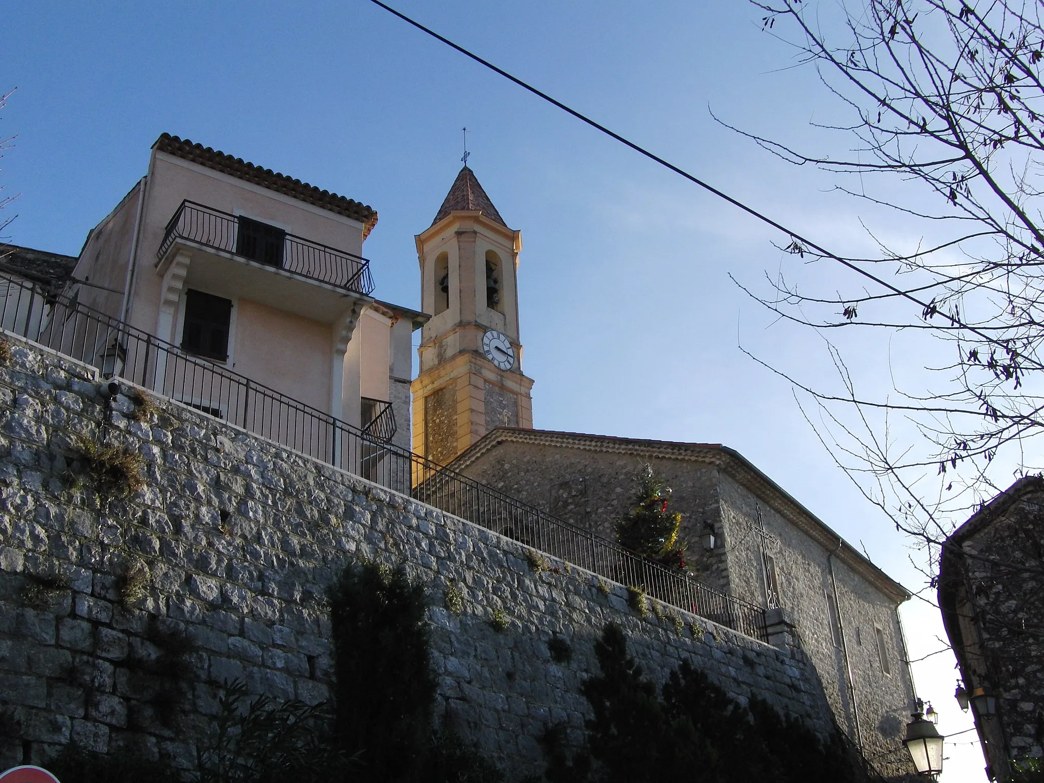
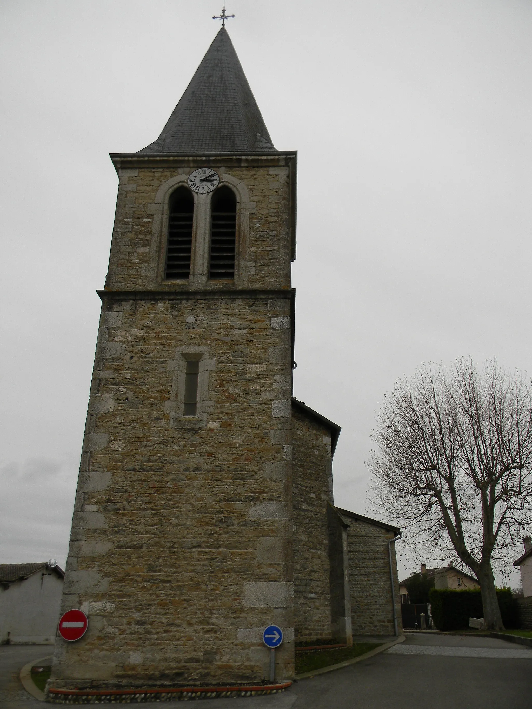
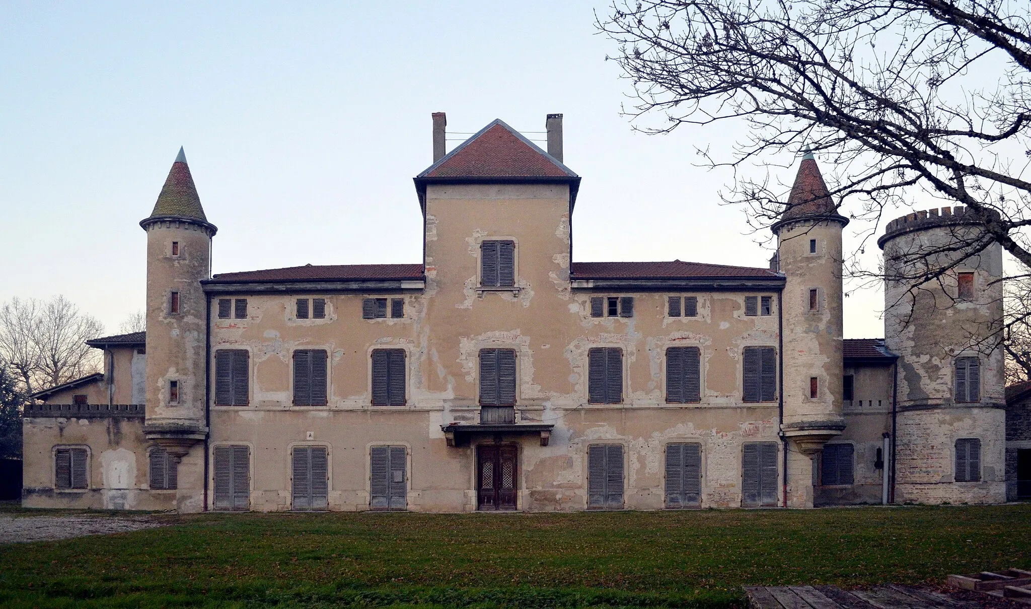
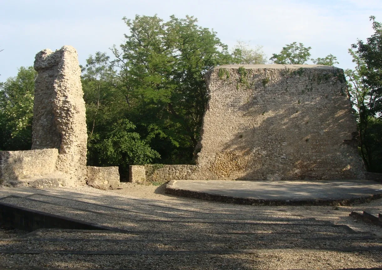
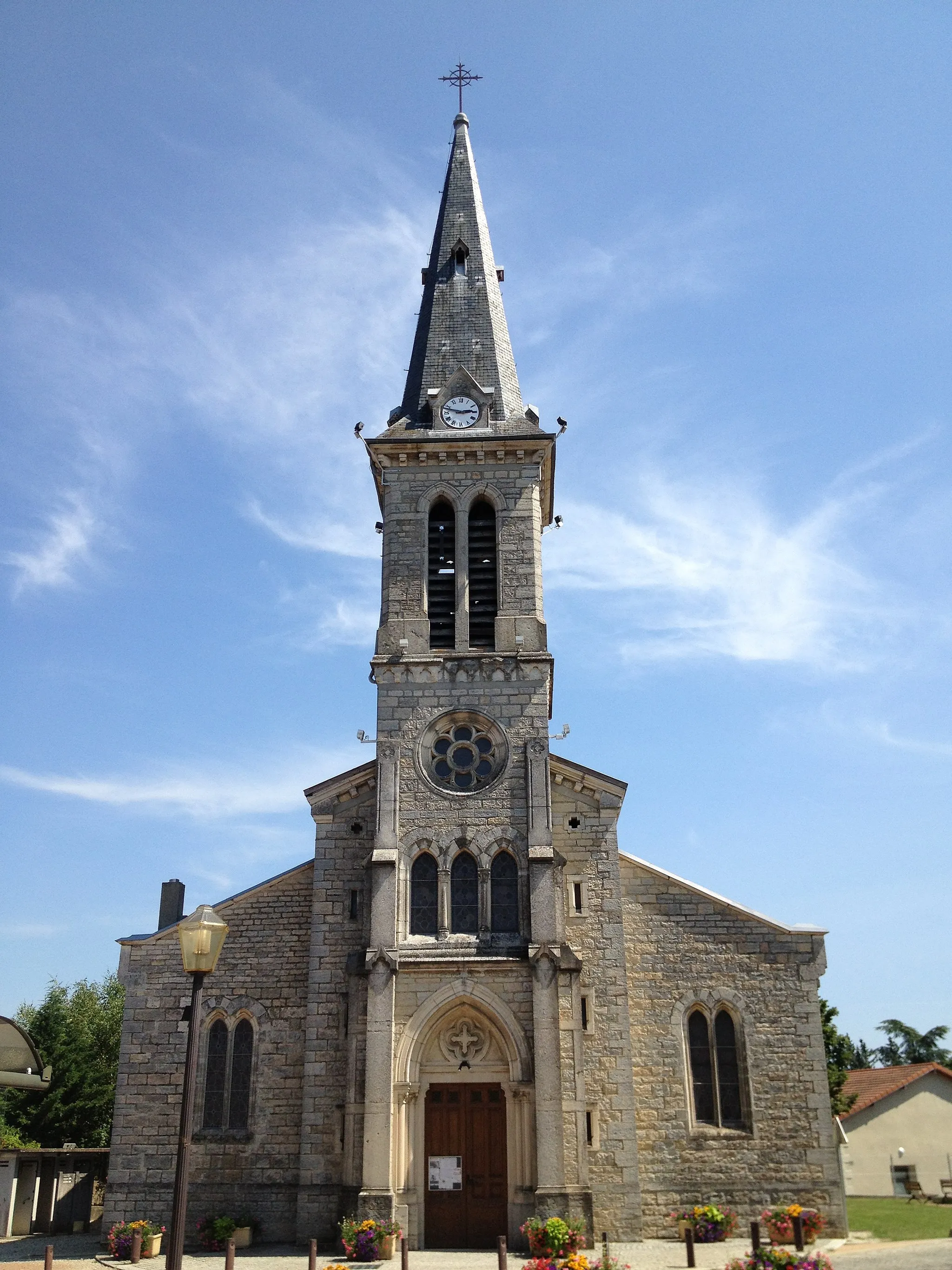
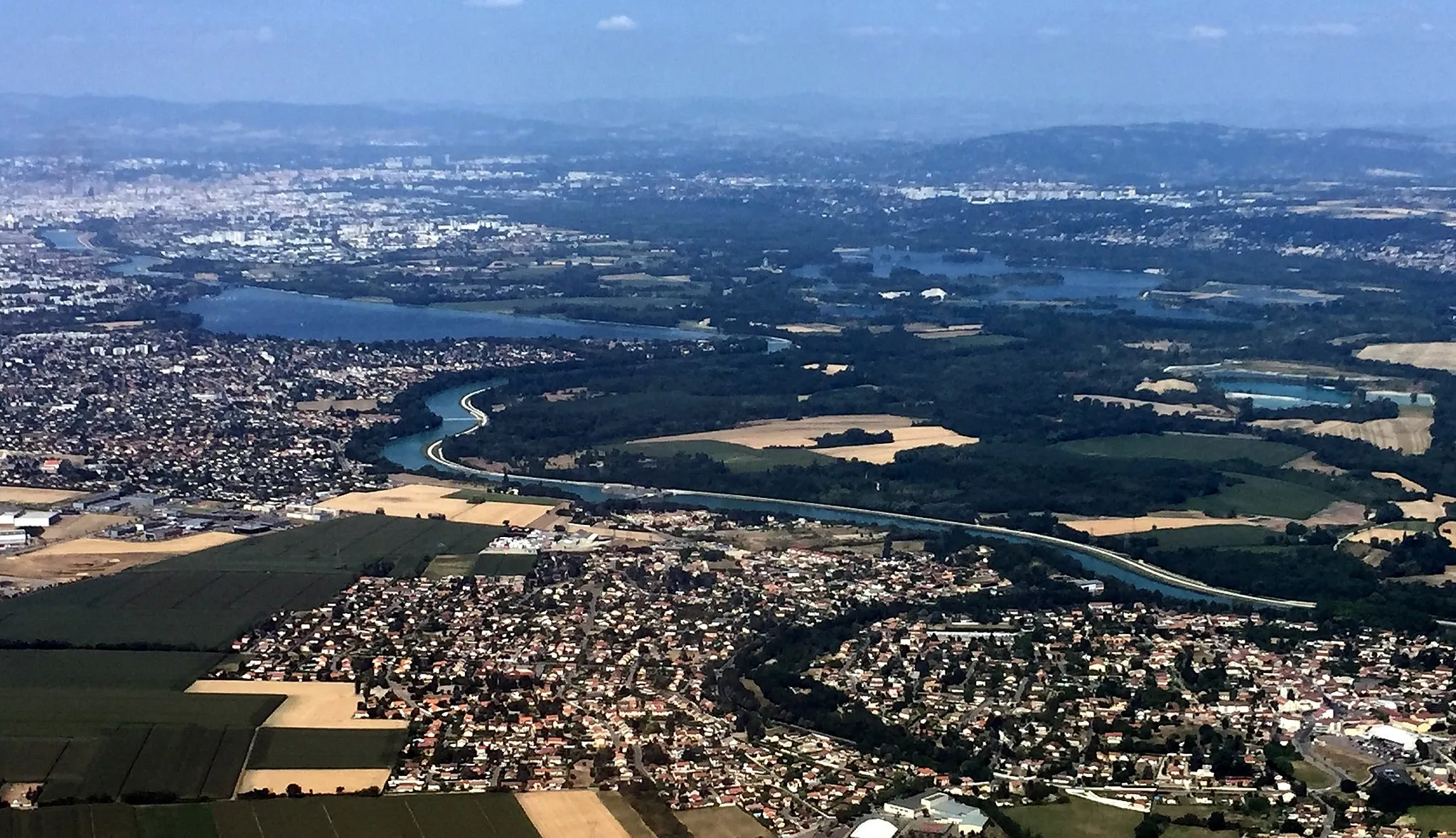
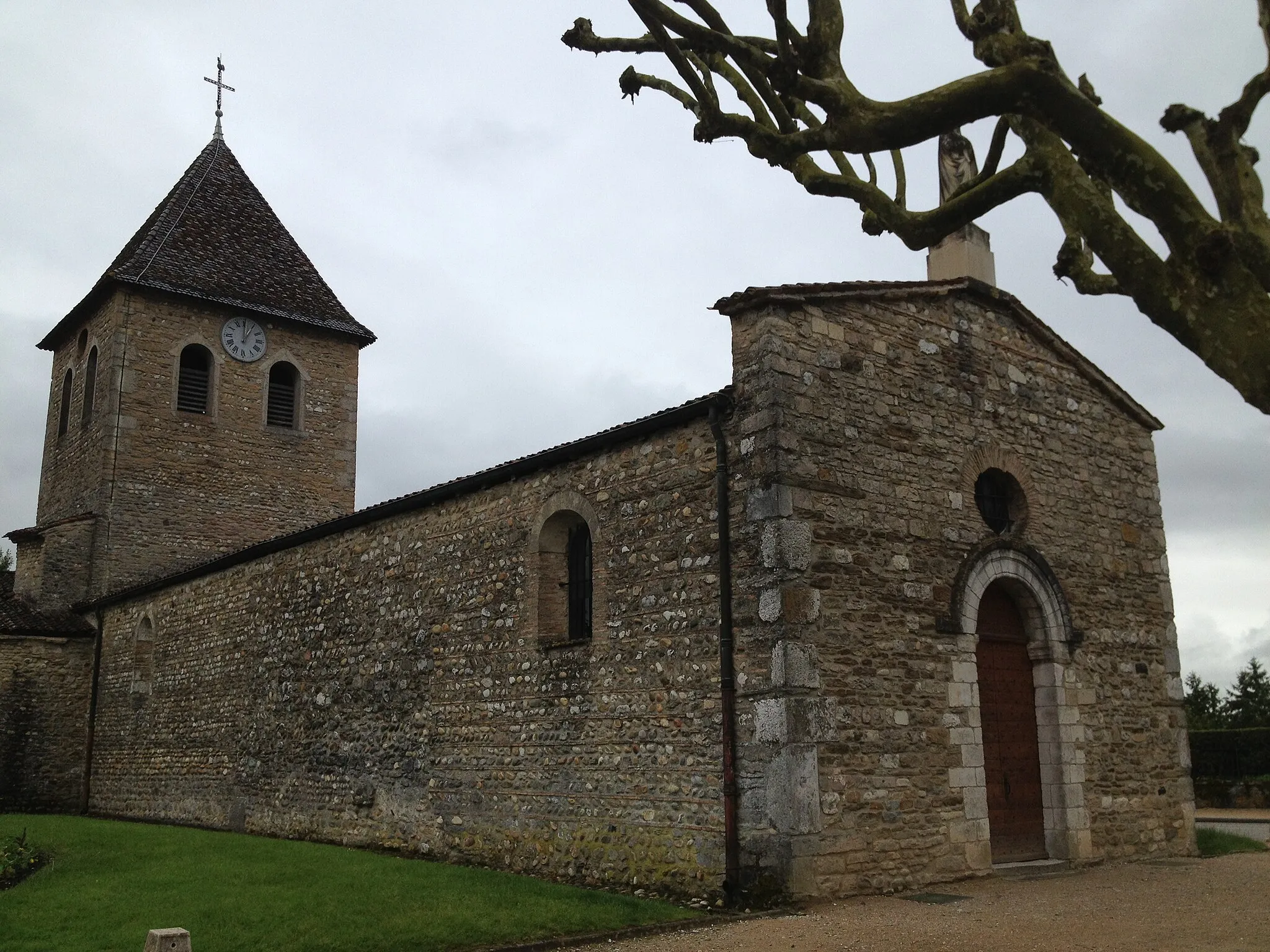
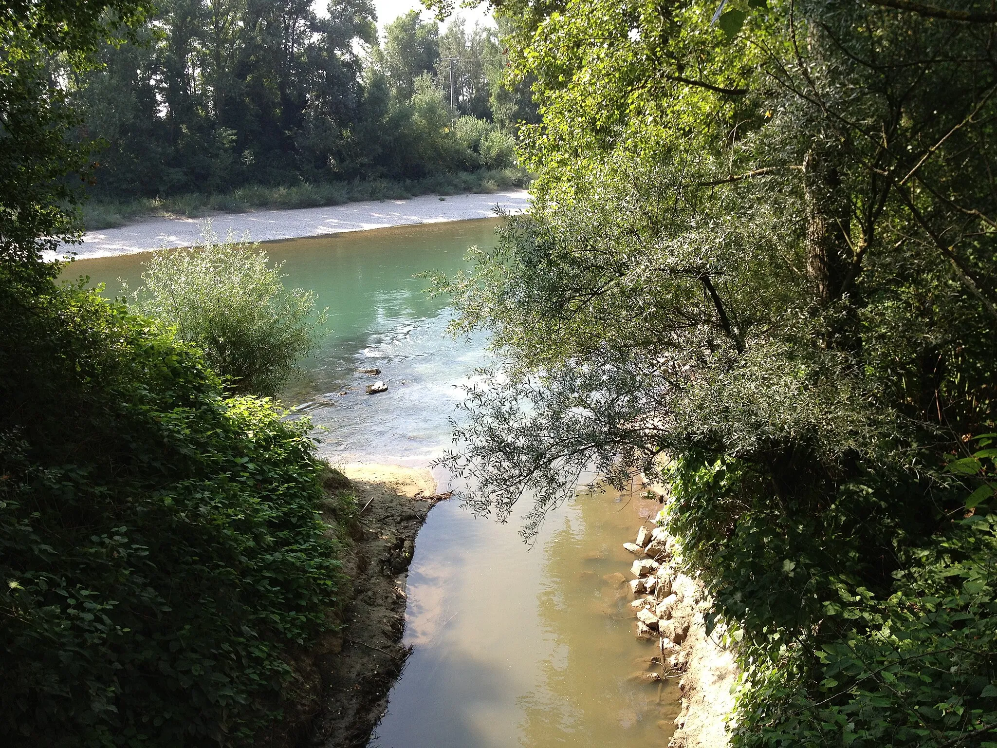
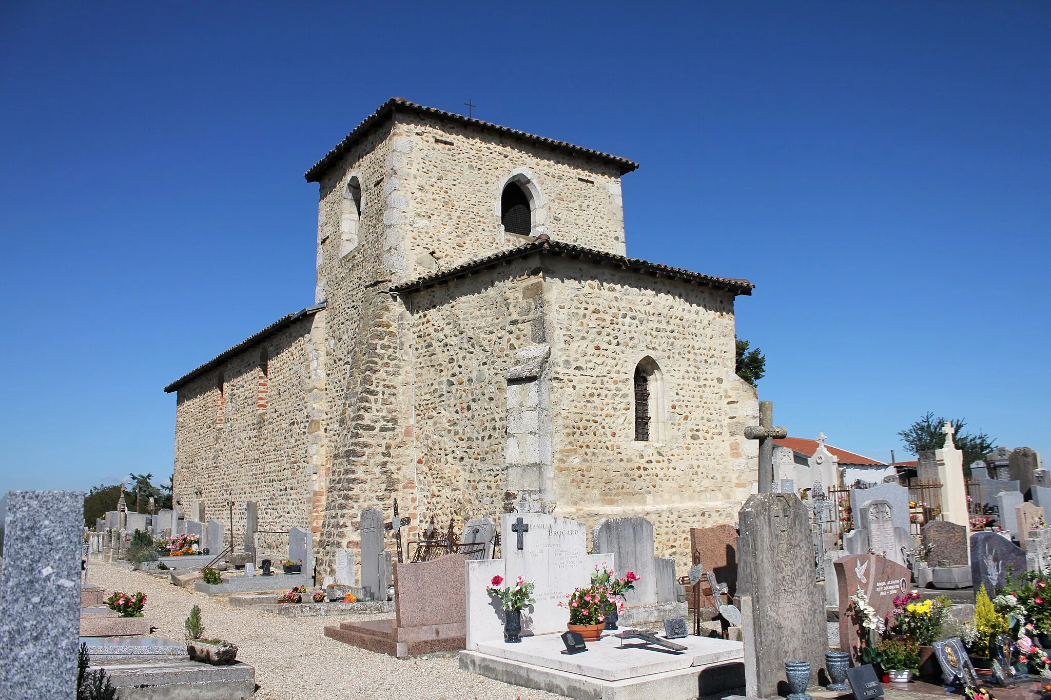
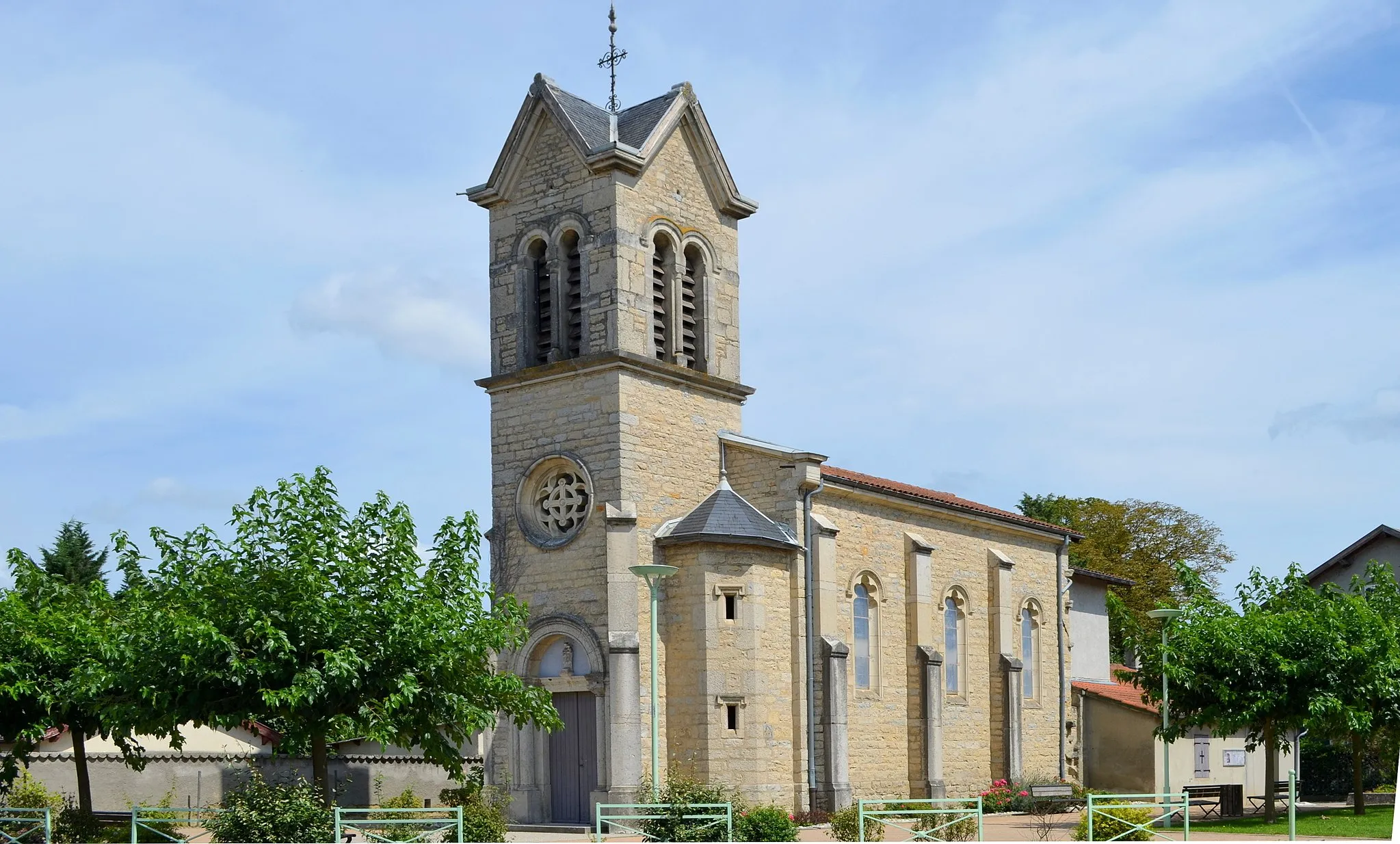
Balan in Rhône-Alpes, France, is a charming locality located in the Ain department. The town is surrounded by rolling hills, vineyards, and scenic landscapes, providing an excellent setting for road and gravel cycling. Cyclists can explore the picturesque routes connecting village to village, visit local wineries for wine tasting, or tackle the famous climbs in the nearby Jura Mountains. Balan is also known for its rich history and cultural heritage, with historic sites such as the Château de Montluel and the Chapelle Saint-Sauveur worth a visit. With its charming atmosphere, diverse cycling routes, and proximity to both vineyards and mountains, Balan offers a memorable cycling experience.
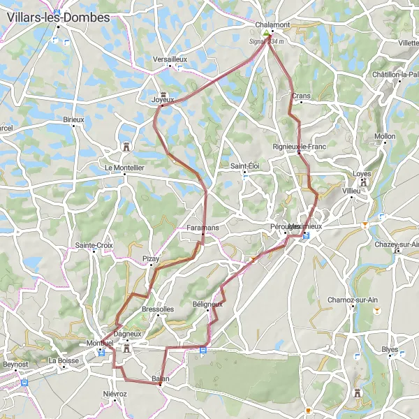
Discover breathtaking panoramas and charming towns during this gravel adventure
Embark on a scenic gravel cycling route near Balan, Rhône-Alpes. With a distance of 55 kilometers and an ascent of 400 meters, this route offers a moderate challenge for well-trained amateurs. Explore picturesque highlights such as Panorama St Barthélémy, Dagneux, Pizay, Signal, Chalamont, Bourg-Saint-Christophe, and La Valbonne.
Balan to Saint-Priest Loop
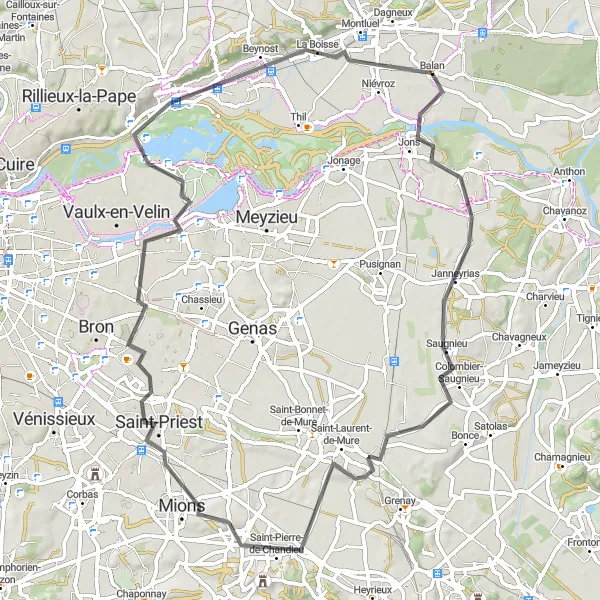
Challenging road cycling route with scenic landscapes
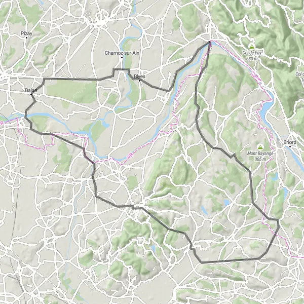
This road cycling route near Balan is designed for experienced cyclists looking for a challenge. With a total ascent of 293 meters and a distance of 72 kilometers, it covers picturesque landscapes and passes through Villette-d'Anthon and Saint-Pierre-de-Chandieu. The highlights of the route include La Jetée, Beynost, and Balan, offering breathtaking views and interesting stopping points.
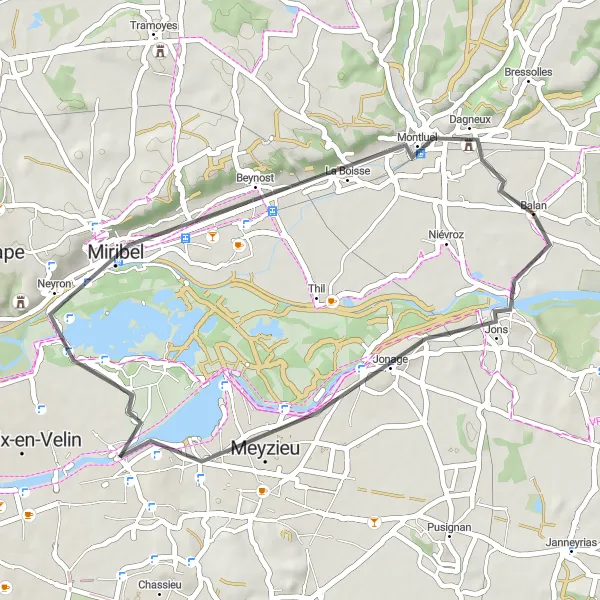
Scenic road cycling route near Balan
This road cycling route near Balan offers beautiful scenery and a moderate challenge. With a total ascent of 119 meters and a distance of 38 kilometers, it is suitable for well-trained amateur cyclists. The route passes through the charming town of Meyzieu and offers some breathtaking views from La Jetée and Panorama St Barthélémy.
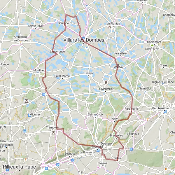
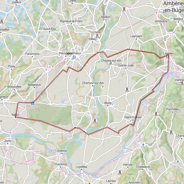
Conquer undulating terrains on this gravel challenge near Balan
Embark on a thrilling gravel challenge near Balan, Rhône-Alpes. This 69-kilometer long route presents cyclists with undulating terrains and beautiful surroundings. Highlights along the way include Panorama St Barthélémy, Tramoyes, Saint-André-de-Corcy, Bouligneux, Villars-les-Dombes, Pizay, and Les Quatre-Chemins.
Balan to Chavanoz Loop
Road cycling route with diverse highlights
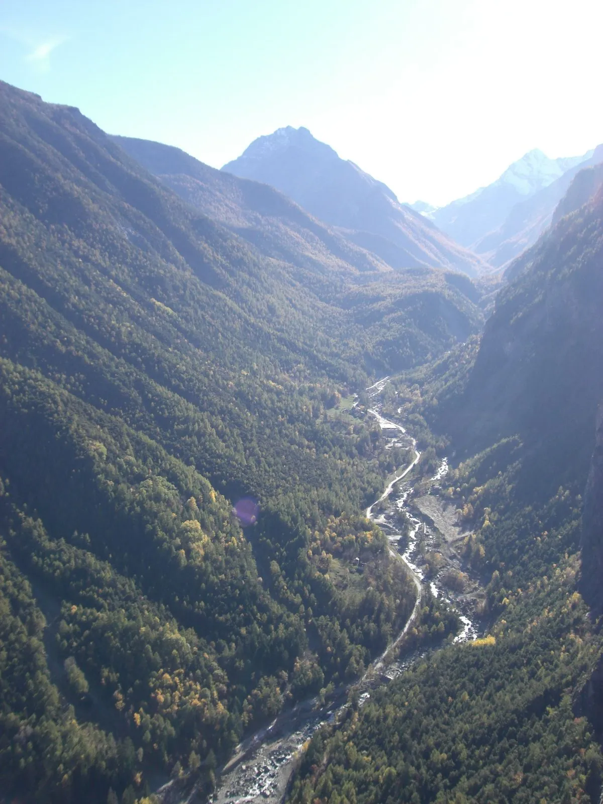
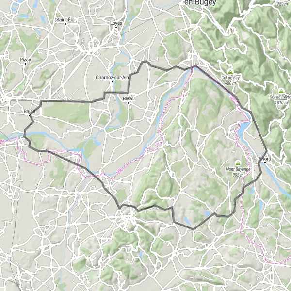
With an ascent of 487 meters and a distance of 87 kilometers, this road cycling route near Balan offers a challenging and diverse experience. Highlights along the route include Chânes, Saint-Sorlin-en-Bugey, Briord, and Chavanoz, providing opportunities to discover charming villages and enjoy scenic views. The route is suitable for experienced cyclists looking for a challenging yet rewarding ride.
Around Balan Gravel Adventure
Cycle through scenic landscapes and charming villages near Balan
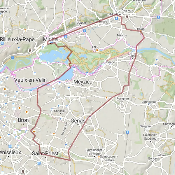
This distinctive gravel route takes you through picturesque landscapes and charming villages near Balan, Rhône-Alpes. With a total distance of 62 kilometers and an ascent of 225 meters, this route provides a moderate challenge for cyclists. Immerse yourself in the beauty of Pusignan, Genas, Saint-Priest, Décines-Charpieu, La Jetée, La Boisse, and the panoramic views from Panorama St Barthélémy in Balan.
Embark on a challenging road cycling adventure near Balan
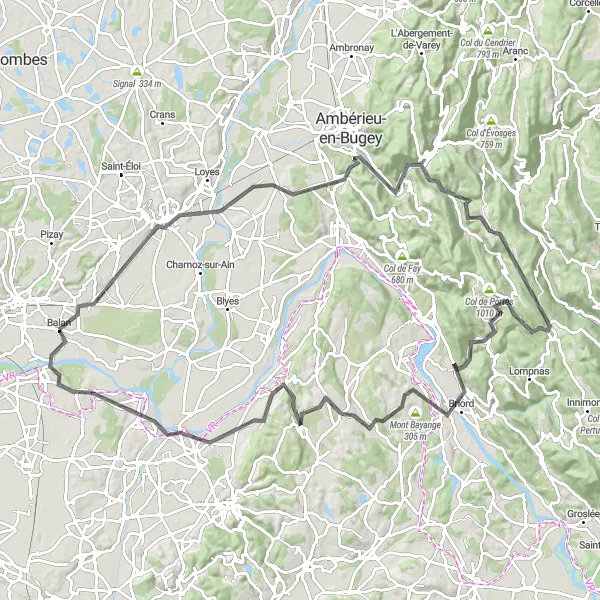
This road cycling route near Balan, Rhône-Alpes, offers a challenging adventure for experienced cyclists. With a considerable ascent of 674 meters along a 97-kilometer long path, this route provides a thrilling experience. Highlights include the scenic village of Blyes, the charming town of Saint-Baudille-de-la-Tour, the picturesque Salagnon, the historical beauty of Chavanoz, and the serene Jons.
Balan Excursion
Cycle through the charming towns and picturesque countryside near Balan
This round-trip cycling route takes you on a scenic adventure through the stunning Rhône-Alpes region of France. Starting near Balan, you'll pass through quaint towns, rolling farmlands, and breathtaking natural scenery. With a total ascent of 1315 meters and a distance of 114 kilometers, this route is suitable for well-trained amateur cyclists looking for a moderate challenge.
Leisurely Gravel Loop from Balan
Enjoy a leisurely gravel cycling adventure near Balan
Take in the scenic beauty of Balan, Rhône-Alpes, on this leisurely gravel cycling loop. Covering a distance of 55 kilometers with an ascent of 189 meters, this route is suitable for cyclists of all skill levels. Highlights include the charming commune of La Valbonne, the picturesque village of Chazey-sur-Ain, and the serene towns of Saint-Vulbas and Saint-Maurice-de-Gourdans.
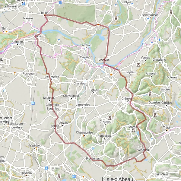
Scenic gravel route with historical highlights
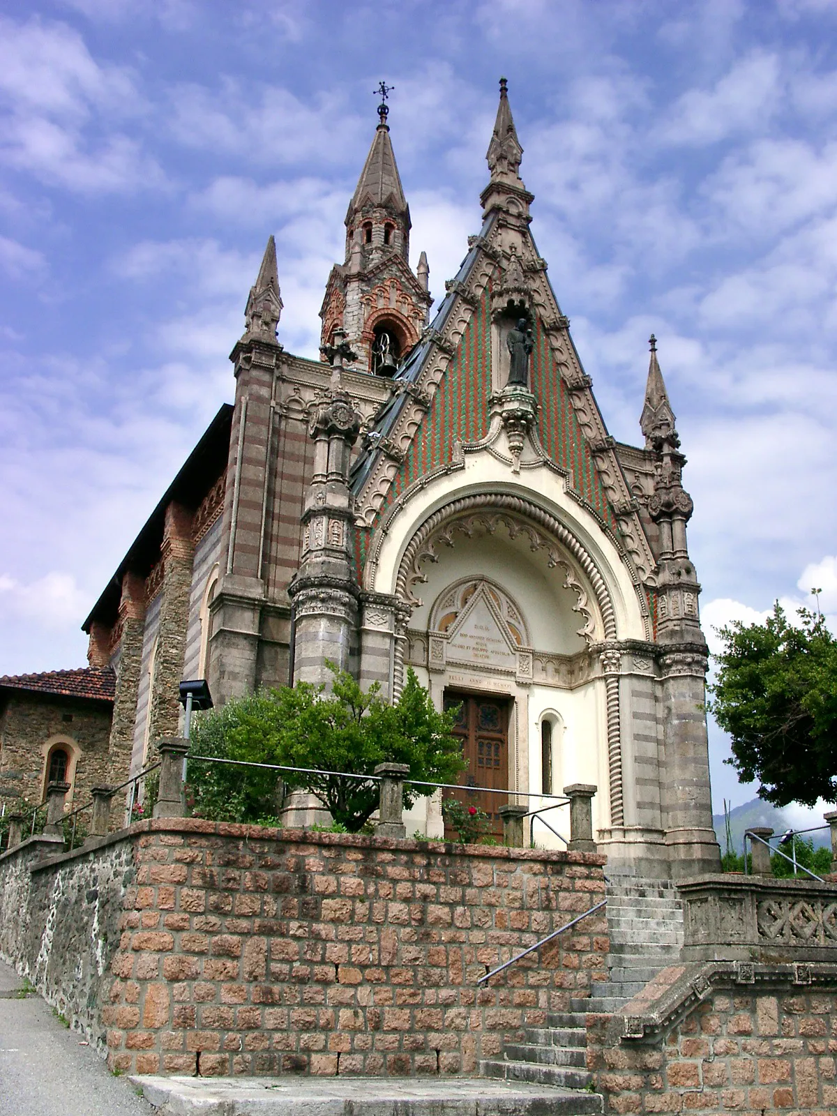
This adventurous gravel ride near Balan covers a total of 72 kilometers and boasts 501 meters of ascent. The route passes through Saint-Maurice-de-Gourdans, Crémieu, and Colombier-Saugnieu, offering a mix of natural beauty and historical highlights. Cyclists can explore the charming town of Crémieu, known for its well-preserved medieval buildings, and enjoy picturesque landscapes throughout the ride.
Cycling routes nearby:
Nearby regions: