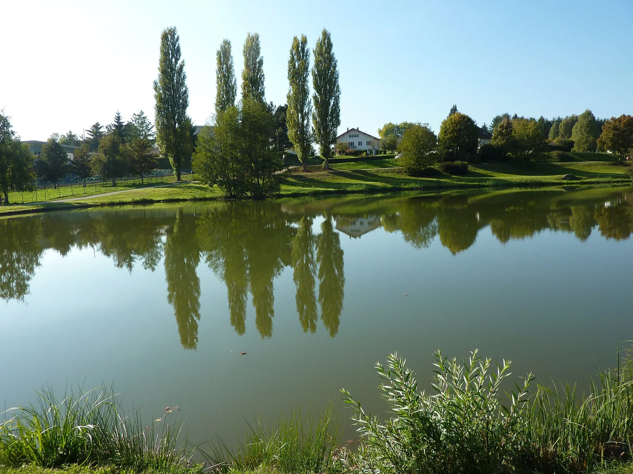
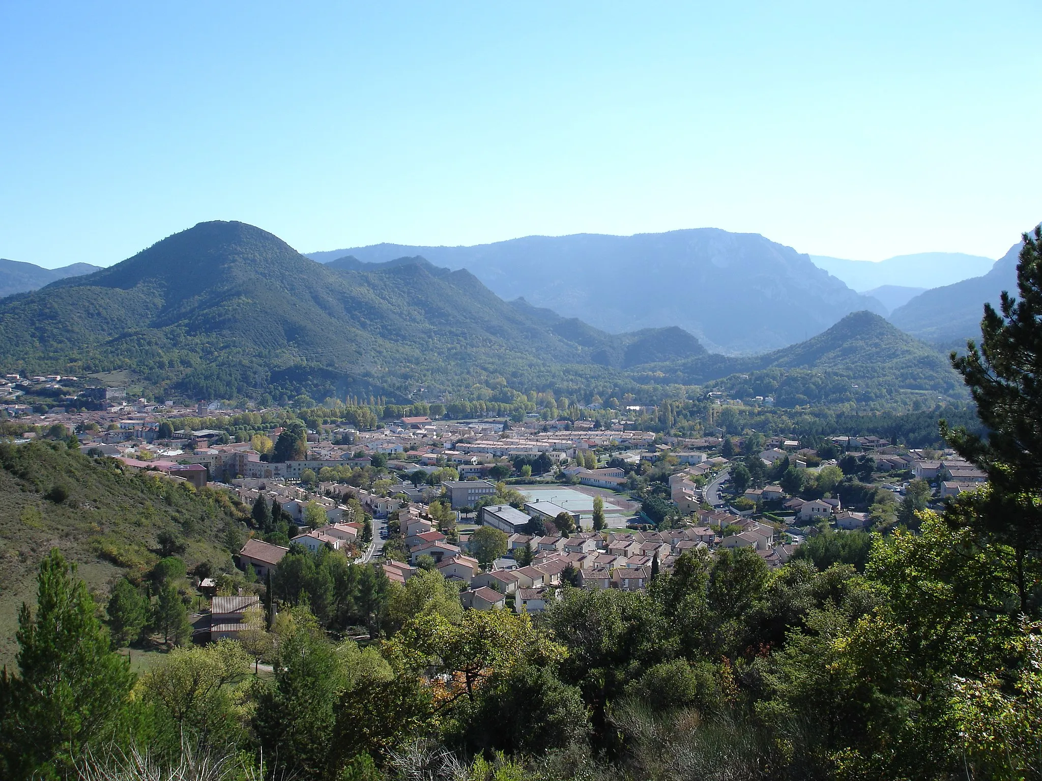
Discovering Rhône-Alpes' natural beauty and cycling challenges.
Cycling routes from Beaurepaire
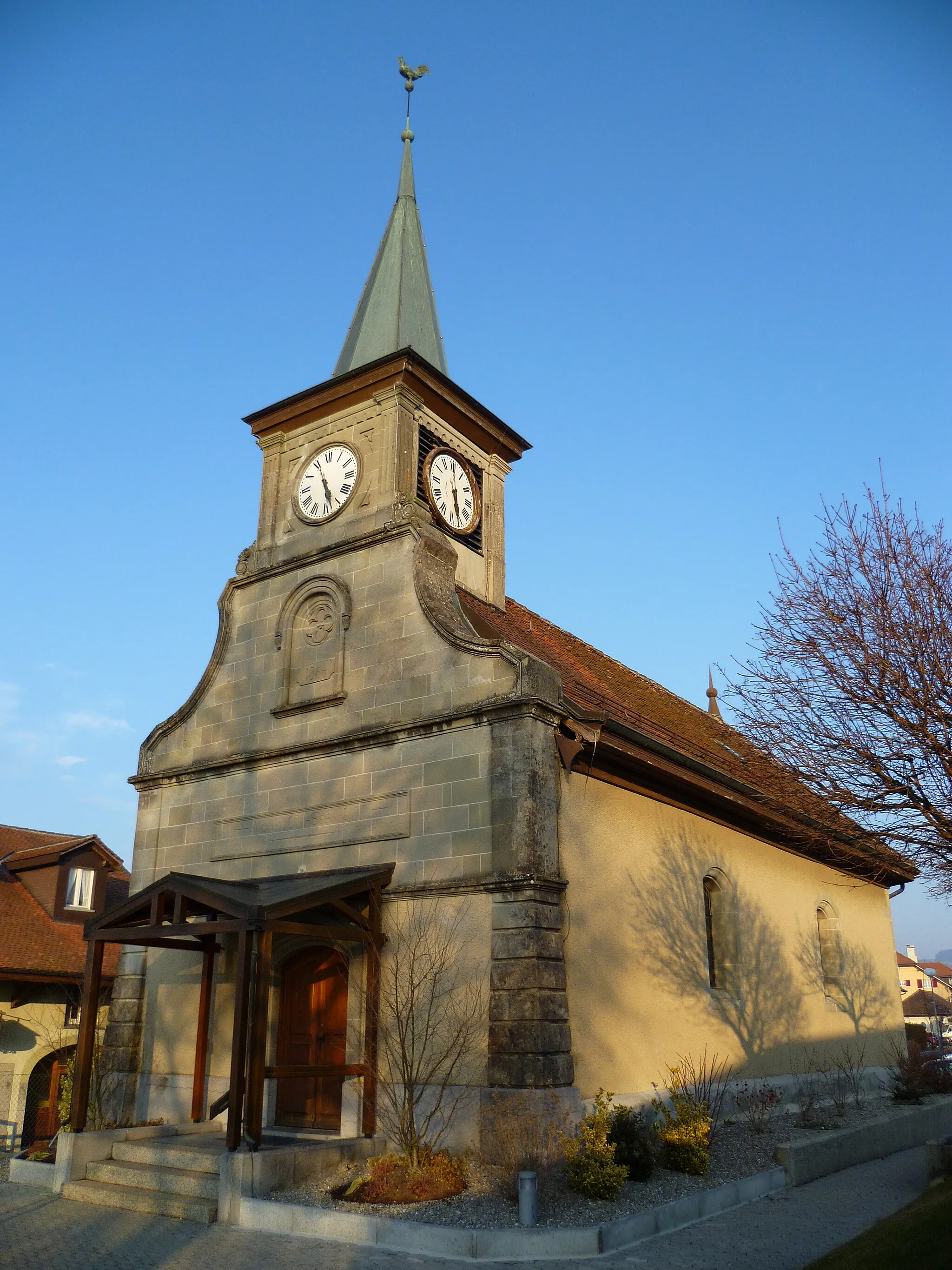
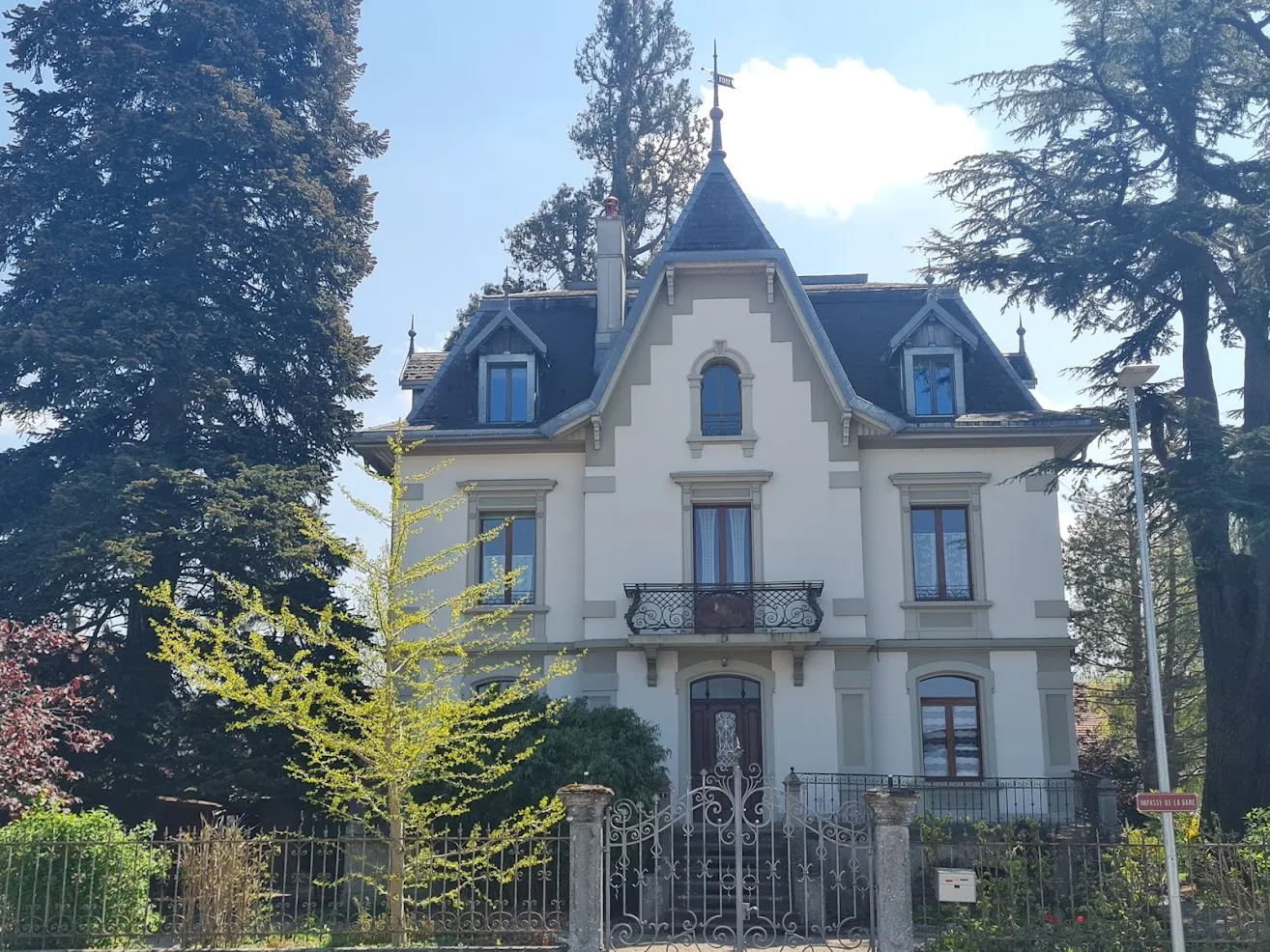
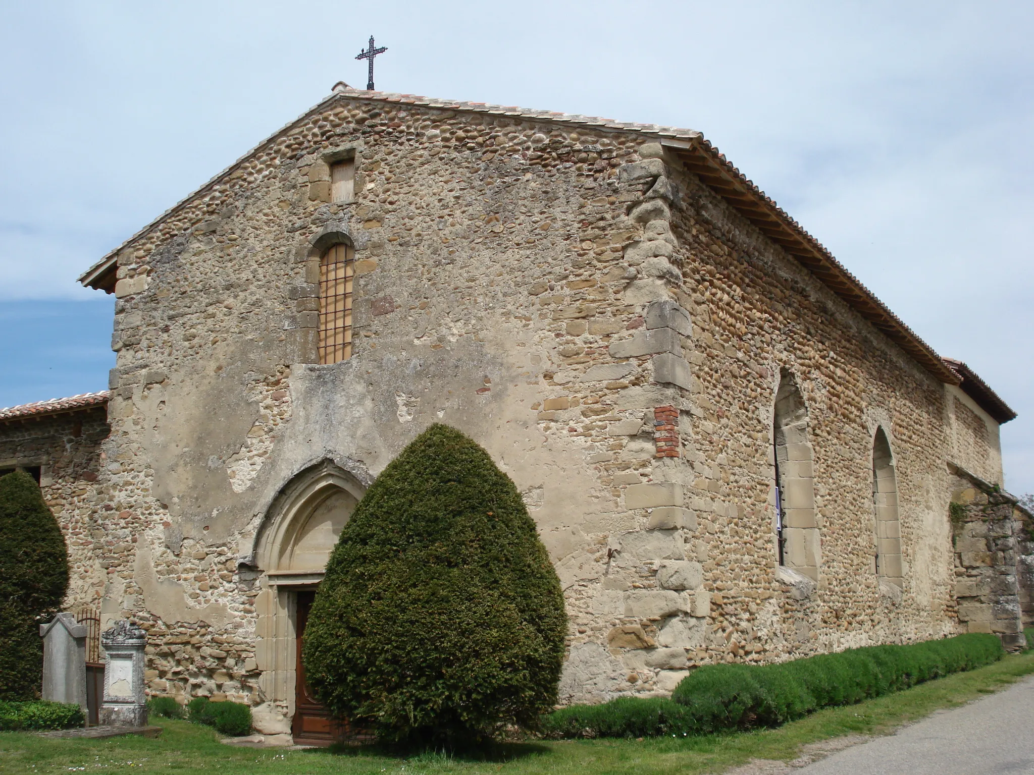
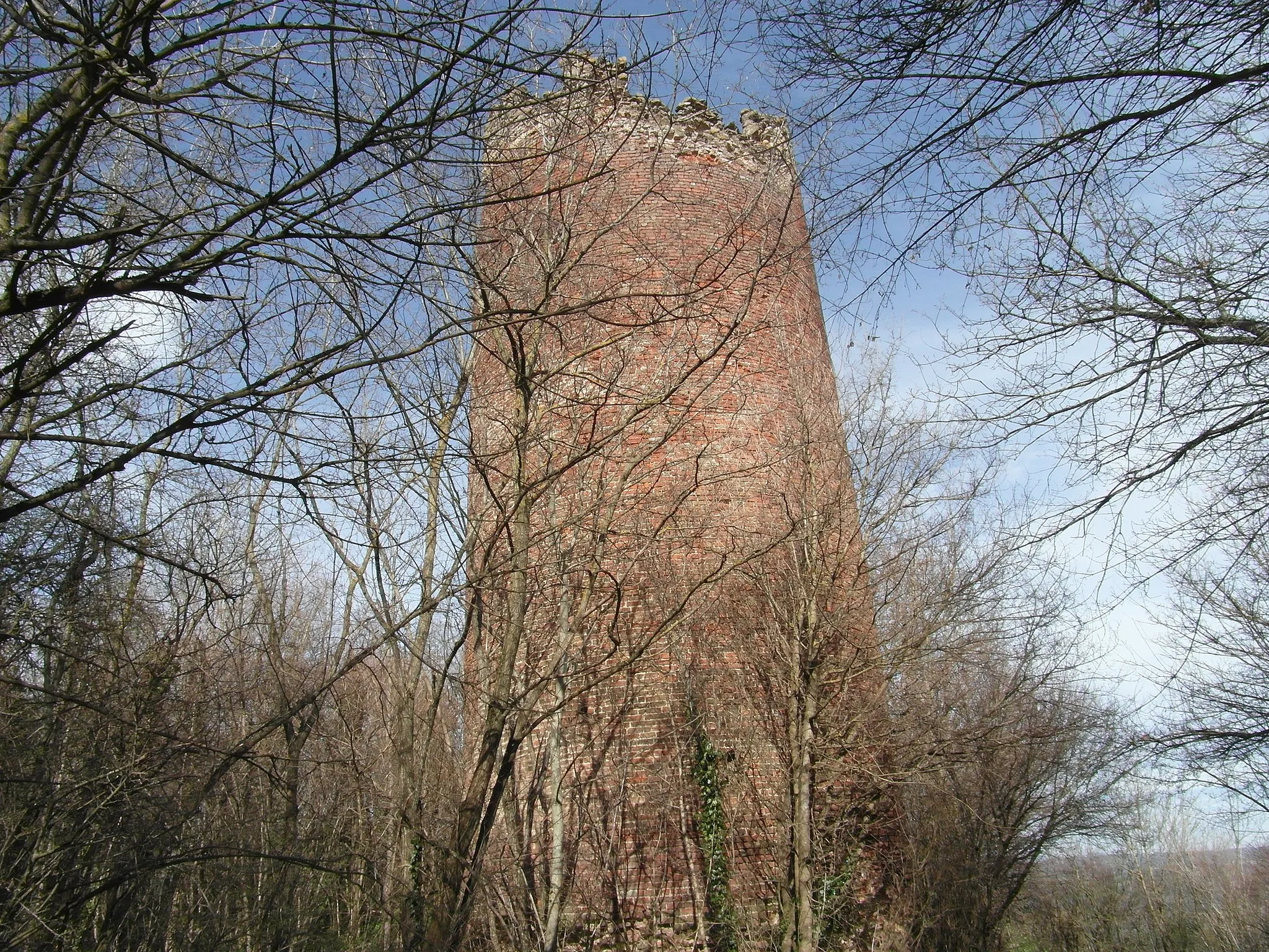
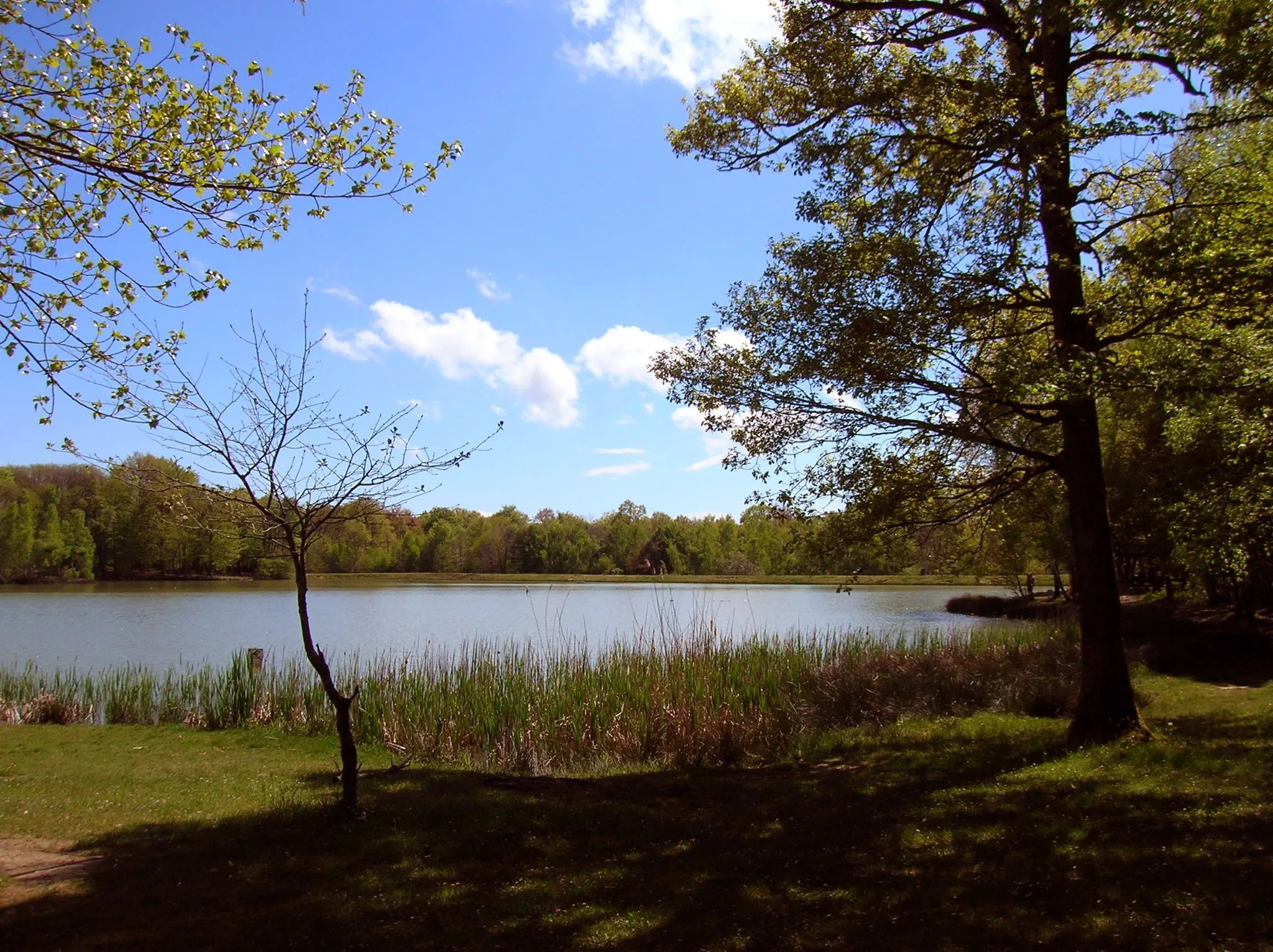
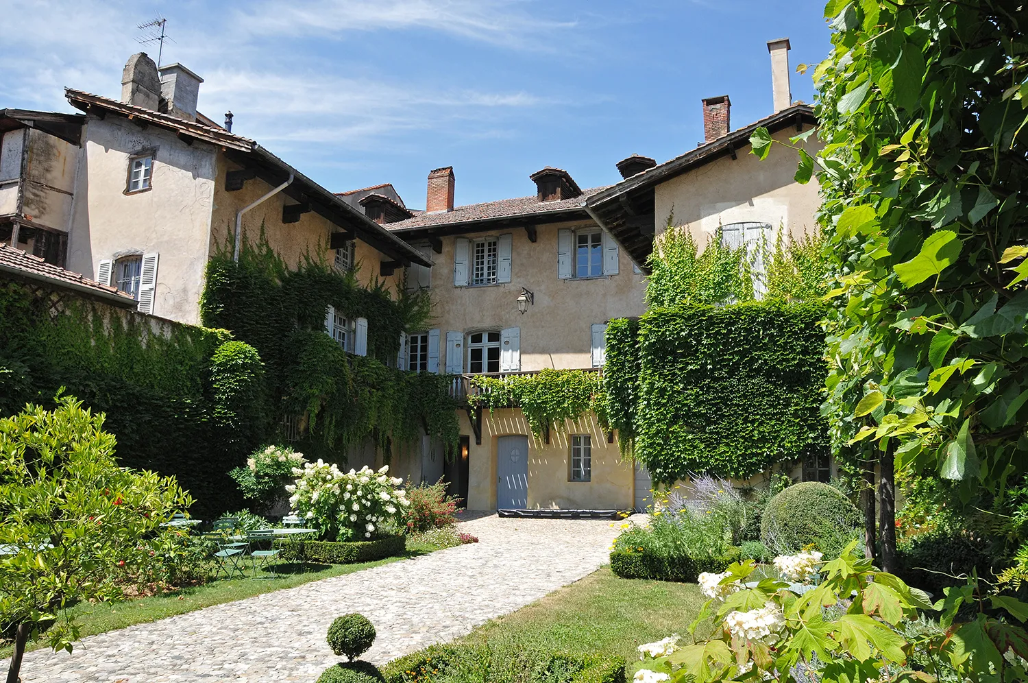
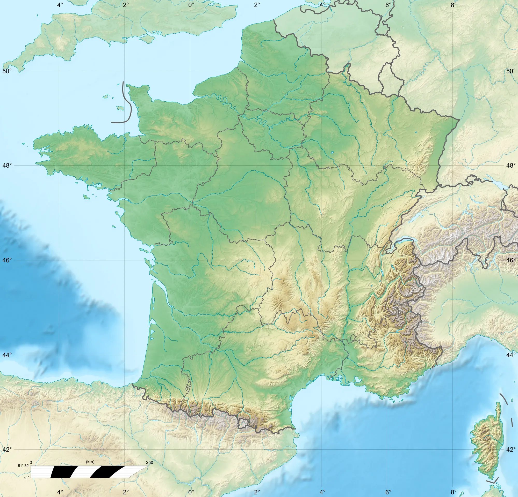
Beaurepaire is a town located in the Rhône-Alpes region of France. As a road and gravel cyclist, Beaurepaire offers a mix of stunning countryside scenery and challenging terrain. Cyclists can explore the quiet country roads and vineyards of the region, enjoying the peaceful atmosphere. The town itself is known for its lively market square and historic buildings, providing a charming backdrop for cycling adventures. Nearby, there are several well-known climbs for those seeking a challenge, including the Col de la Croix de Chaubouret and the Col du Chansert. Beaurepaire is a popular destination for both local and international cyclists.
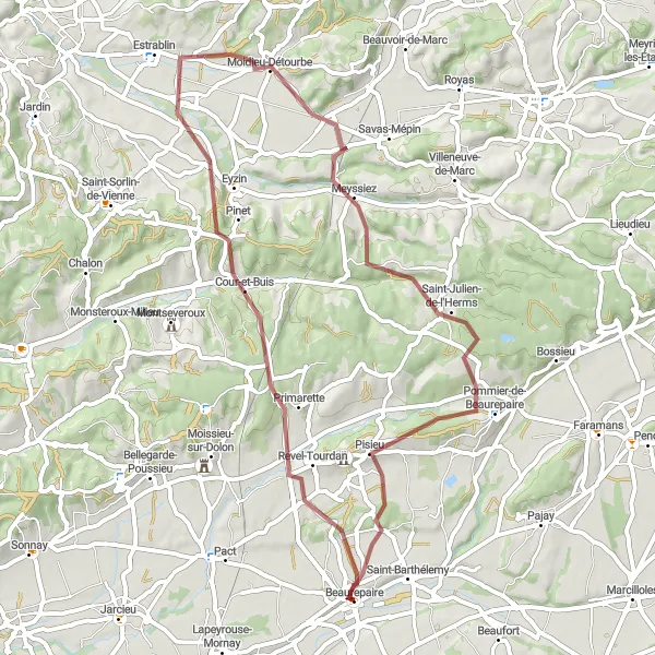
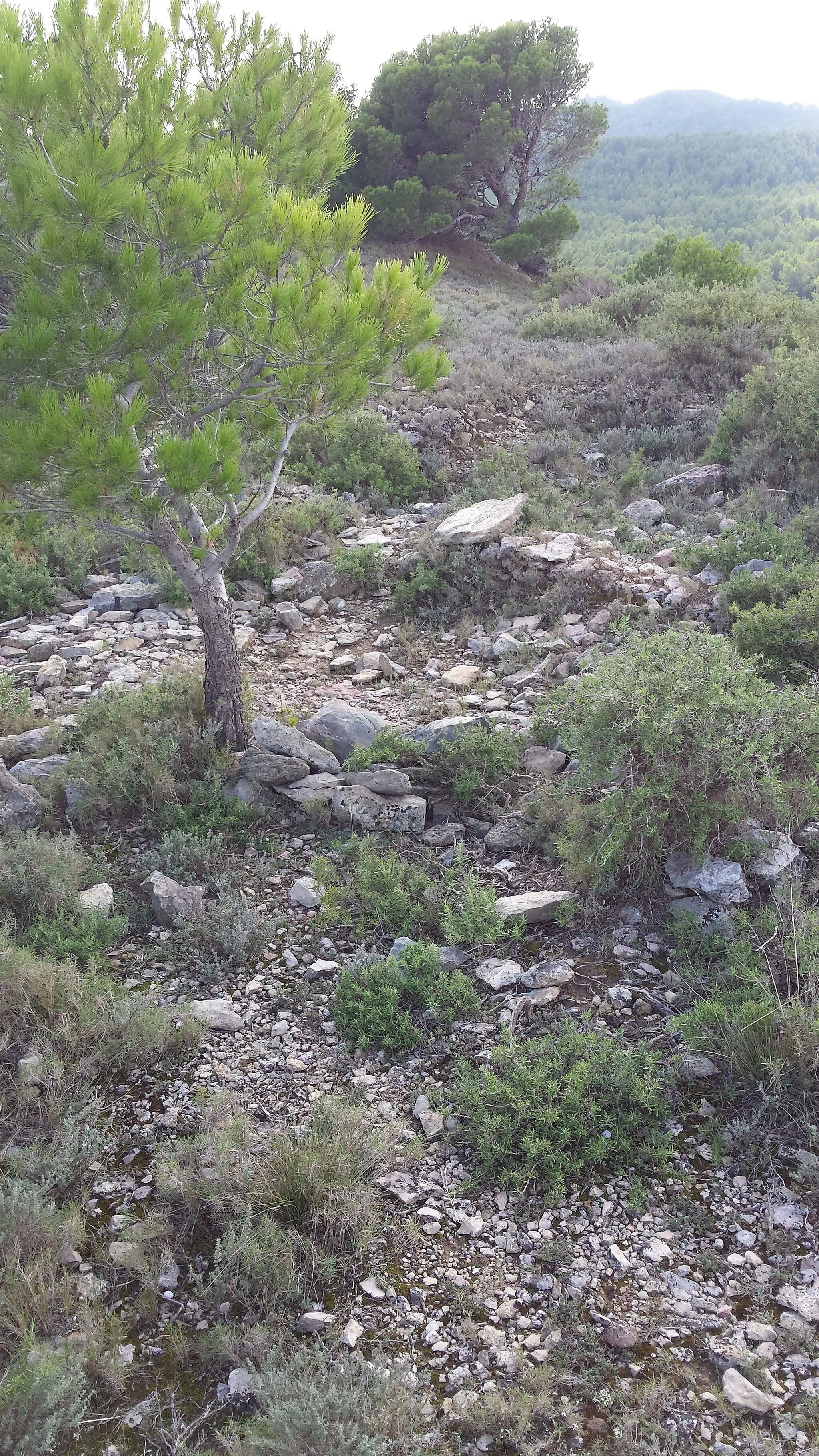
Embark on a thrilling, gravel adventure with stunning views
This route takes you on a scenic journey through the outskirts of Beaurepaire. With a distance of 56 kilometers and an ascent of 832 meters, it offers a challenging yet rewarding experience for gravel enthusiasts. Expect to encounter picturesque villages such as Primarette, Moidieu-Détourbe, Saint-Julien-de-l'Herms, and Pisieu. The route is designed to showcase the natural beauty of the Rhône-Alpes region and provides ample opportunities for riders to immerse themselves in the local culture.
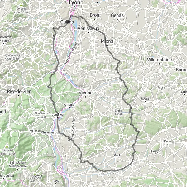
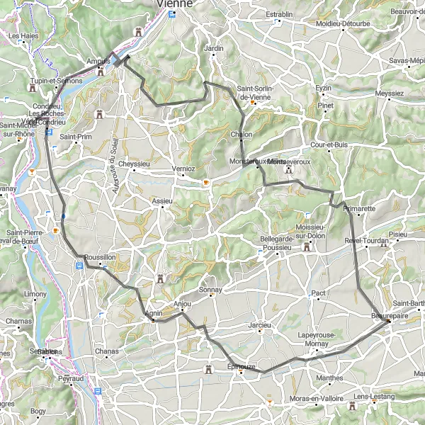
Embark on an epic road cycling adventure through the stunning region of Rhône-Alpes
This 146-kilometer road cycling route is sure to satisfy adventure enthusiasts craving a memorable journey. With an ascent of 1751 meters, this ride through Rhône-Alpes is the perfect challenge for experienced riders. Travel through remarkable towns and landscapes, including Lapeyrouse-Mornay, Table d'orientation, Clonas-sur-Varèze, Les Haies, Givors, Oullins, Vénissieux, Valencin, Oytier-Saint-Oblas, Meyssiez, and Pisieu. Explore the region's natural and cultural highlights while soaking in breathtaking views along the way.
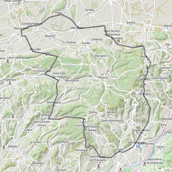
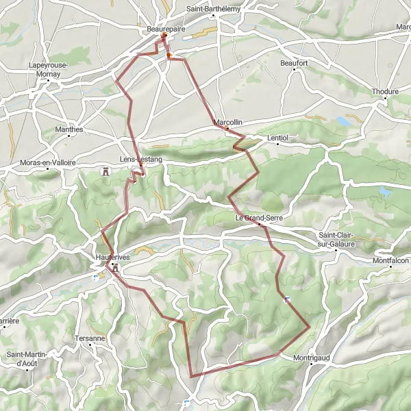
Get ready for a challenging road cycling journey from Beaurepaire to Marcollin.
With a total distance of 99km and an ascent of 1184m, this road cycling route is ideal for well-trained cyclists looking for a challenge. Traverse picturesque landscapes, impressive climbs, and breathtaking descents as you explore the region. Highlights include Pajay, known for its scenic views, and Col de la Croix de Toutes Aures, offering a rewarding uphill climb. The route also passes through historic towns like Bressieux and Varacieux, adding cultural richness to your journey. With Saint-Bonnet-de-Valclérieux and Le Grand-Serre along the way, you'll further immerse yourself in the natural beauty of the region before reaching the final destination of Marcollin.
Embark on a road cycling adventure from Beaurepaire to Primarette through scenic landscapes.
This road cycling route takes you through beautiful countryside and offers a moderate difficulty level suitable for well-trained amateurs. Covering a distance of 83km and an ascent of 709m, you'll have the opportunity to explore the stunning views along the way. Enjoy the charm and tranquility of villages like Épinouze and Chalon, and experience the natural beauty of Condrieu and Primarette.
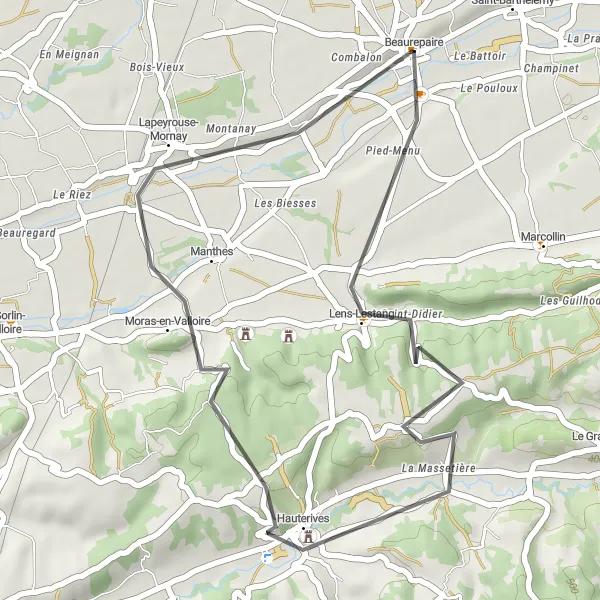
Embark on a gravel adventure through the peaceful landscapes of Le Grand-Serre
Immerse yourself in the tranquility of Le Grand-Serre's landscapes on this captivating gravel route. With 786 meters of ascent and a distance of 44 kilometers, this ride offers a moderate challenge that will leave you mesmerized by the serene beauty of the region. Delve into the allure of Le Grand-Serre, Saint-Christophe-et-le-Laris, Belvédère, Lens-Lestang, and Combalon as you cycle through this peaceful route. Each turn offers stunning vistas of rolling hills, charming villages, and untouched natural wonders. This is the perfect ride for gravel enthusiasts looking to escape the hustle and bustle and enjoy some peaceful off-roading.
Enjoy a leisurely gravel ride exploring the countryside around Beaurepaire.
This gravel route offers a shorter distance, with a total length of 41km and an ascent of 668m. Perfect for a refreshing ride, it is suitable for well-trained amateurs. Experience the tranquility and beauty of the Beaurepaire region along the way.
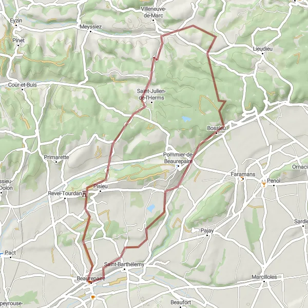
Embark on a thrilling gravel adventure to Primarette
This gravel adventure takes you on an 85-kilometer journey, featuring an ascent of 1360 meters. The route showcases the scenic beauty and cultural heritage of the region, particularly highlighting the picturesque village of Primarette. Along the way, you'll also pass through Oytier-Saint-Oblas, Charantonnay, Pommier-de-Beaurepaire, and finally back to Beaurepaire. Enjoy stunning countryside views, explore charming villages, and experience the joy of gravel cycling in this exhilarating adventure.
Enjoy a scenic road cycling ride to Lens-Lestang
This 33-kilometer road cycling route takes you on a picturesque journey to Lens-Lestang, covering an ascent of 370 meters. Immerse yourself in the beauty of nature as you cycle through stunning landscapes and vibrant villages. Highlights along the way include Lens-Lestang, Belvédère, Moras-en-Valloire, and Combalon. Appreciate the tranquility of the countryside and discover the hidden gems that can be found throughout the route.
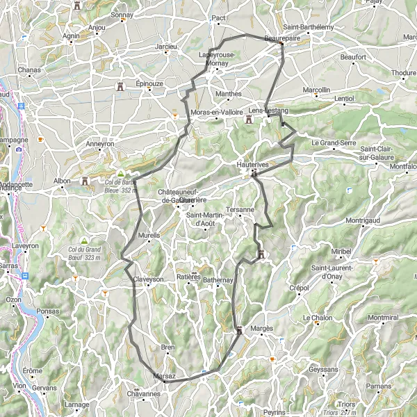
Explore the stunning landscapes of Lens-Lestang on this scenic road cycling route
Indulge in the beauty of Lens-Lestang and its surrounding landscapes on this awe-inspiring road cycling route. With a total ascent of 924 meters and a distance of 78 kilometers, this route is a perfect blend of moderate challenge and scenic delights. Marvel at the captivating beauty of Lens-Lestang, Belvédère, Col de la Pierrote, Charmes-sur-l'Herbasse, Marsaz, La Motte-de-Galaure, and Mantaille as you weave through the winding roads. The incredible scenery and cultural highlights along the way will leave you awestruck, making this an unforgettable cycling experience. From breathtaking viewpoints to charming villages, this route has it all.
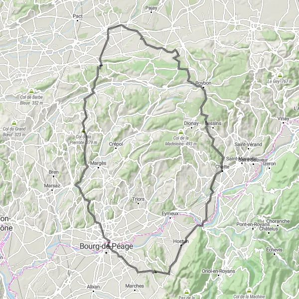
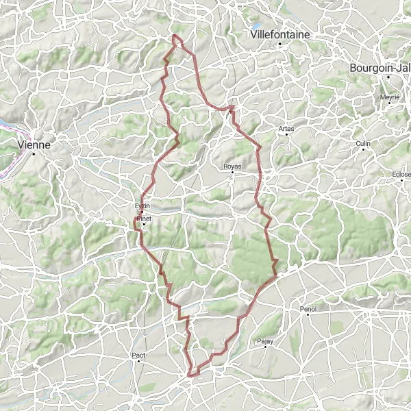
Conquer the toughest climbs and explore the mountain glory of Rhône-Alps
Embark on the ultimate cycling challenge through the majestic mountains of Rhône-Alps. This thrilling road cycling route features a total ascent of 1,432 meters and a distance of 116 kilometers, offering an unforgettable experience for seasoned cyclists seeking a legendary adventure. Immerse yourself in the captivating beauty of Thodure, Roybon, Saint-Hilaire-du-Rosier, Chatuzange-le-Goubet, Saint-Donat-sur-l'Herbasse, Col de la Pierrote, and Lens-Lestang as you conquer this epic ride. From breathtaking mountain passes to charming villages, this route showcases the raw grandeur of the region. Prepare yourself for a cycling journey that will push your limits and reward you with unforgettable views and memories.
Cycling routes nearby:


Nearby regions: