Cycling paradise in the heart of Rhône-Alpes.
Cycling routes from Cran-Gevrier
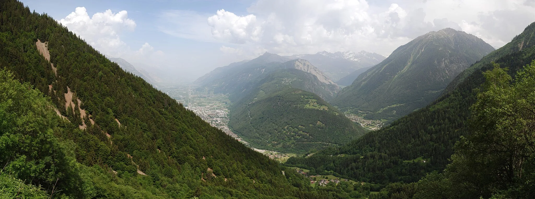
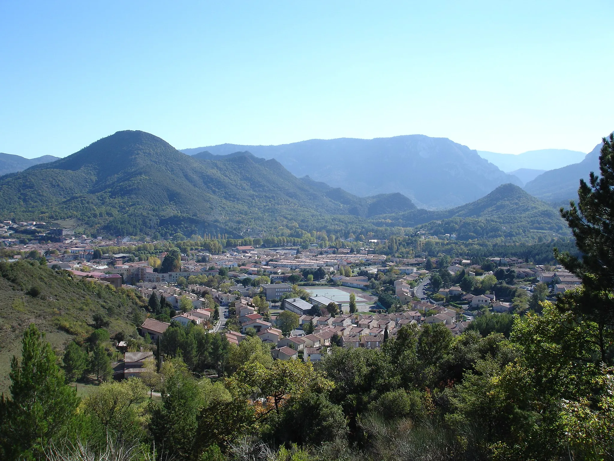
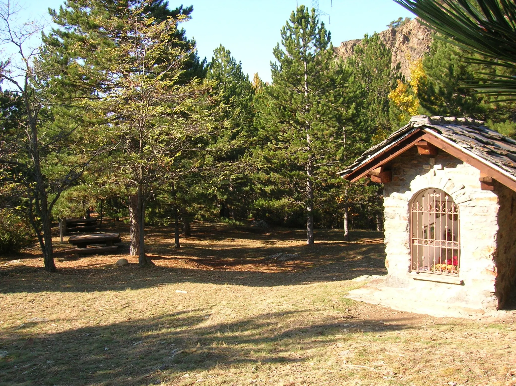
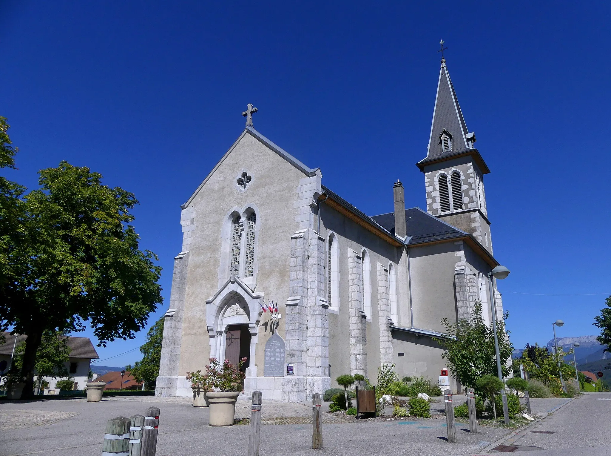
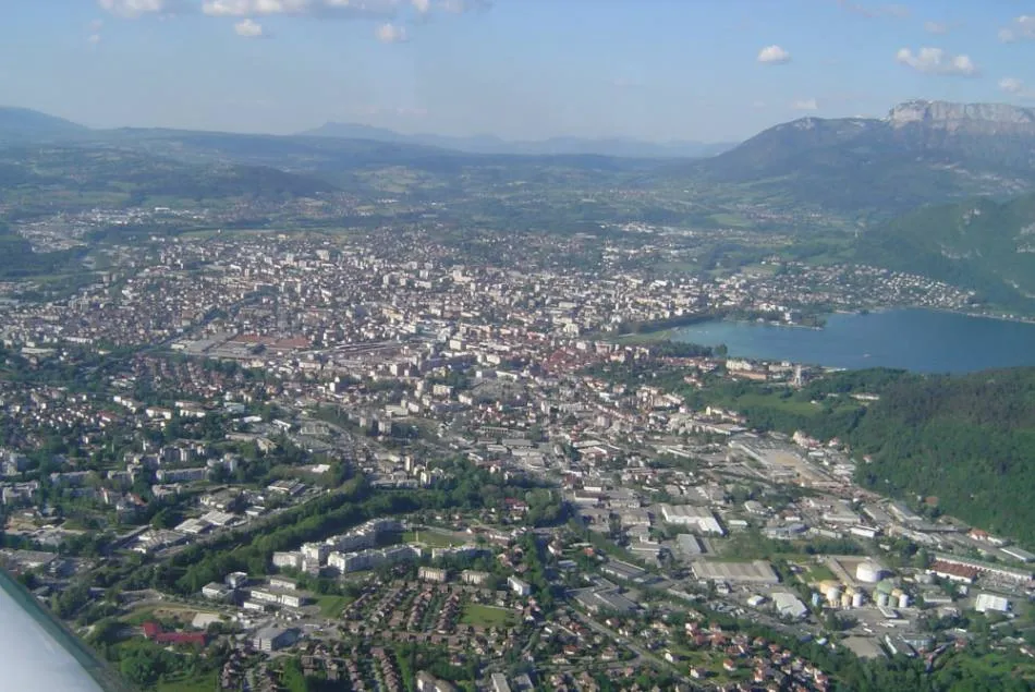
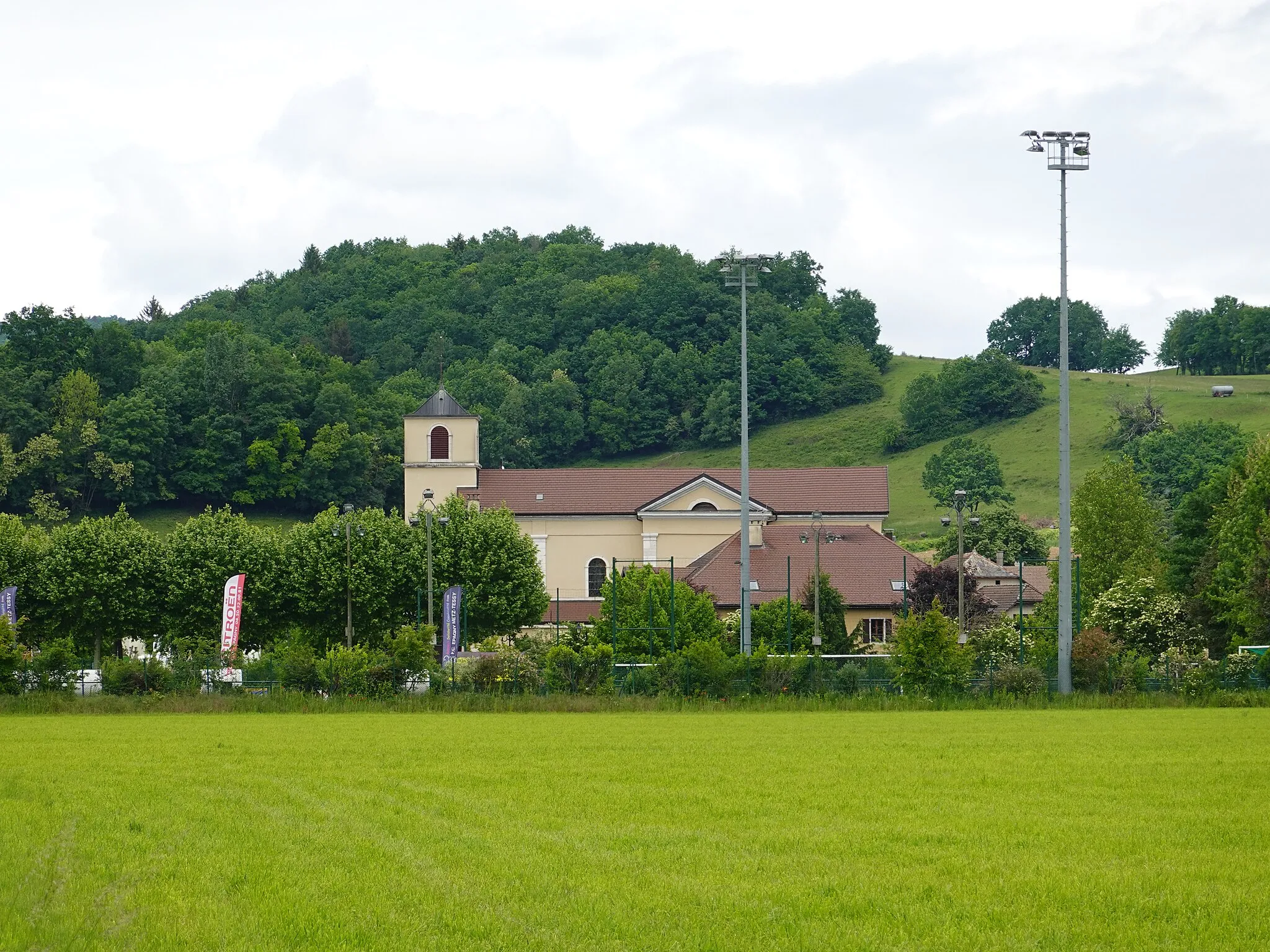
Cran-Gevrier is a charming town nestled in the Rhône-Alpes region of France. As a road and gravel cyclist, you will appreciate the town's proximity to stunning natural beauty and cycling routes. Cran-Gevrier offers a mix of flat and hilly terrain, allowing cyclists to explore diverse landscapes and take on different challenges. Nearby, you will find the well-known climb of Col de la Croix Fry, which offers sweeping views of the surrounding mountains. With its cycling-friendly environment and access to notable climbs, Cran-Gevrier is a fantastic location for cyclists to explore.
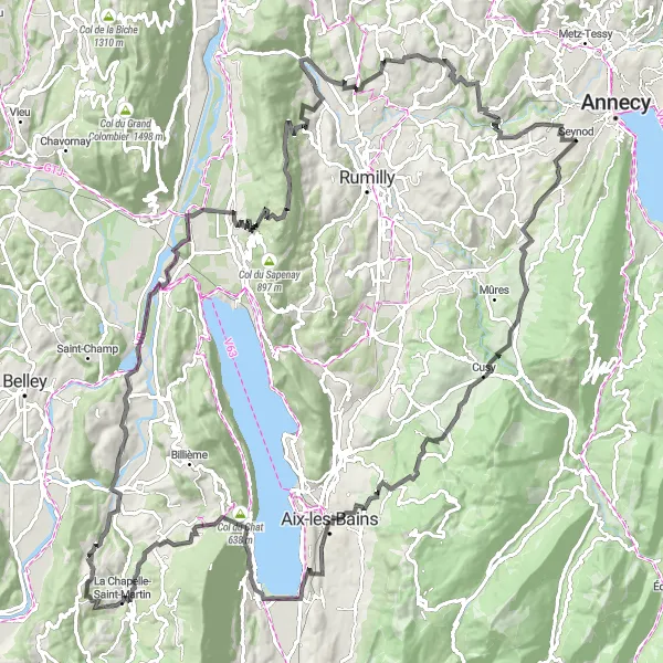
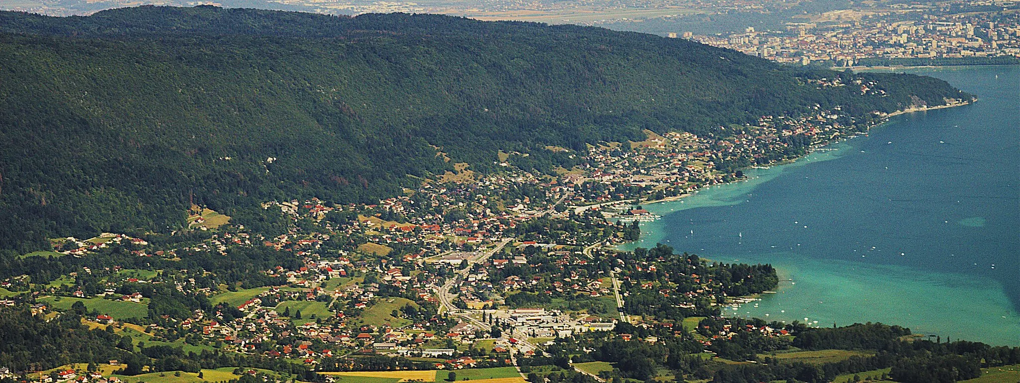
The Annecy Loop
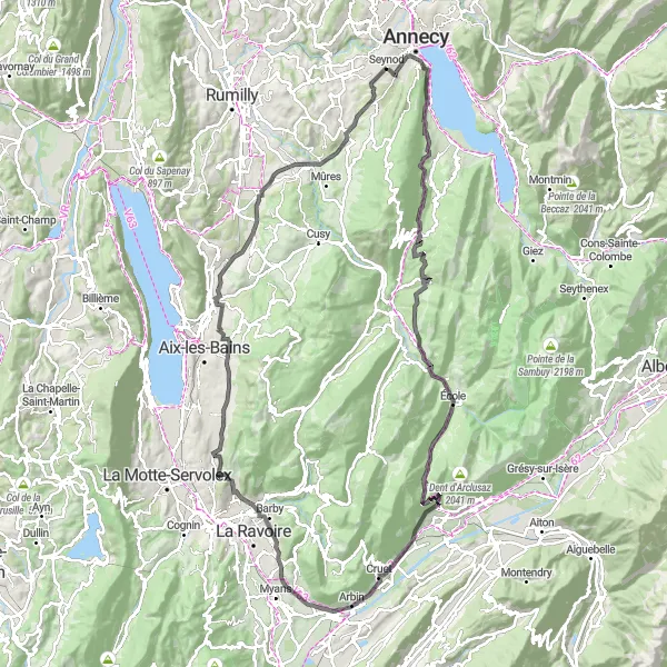
Ride around the stunning Lake Annecy and experience the beauty of the French Alps.
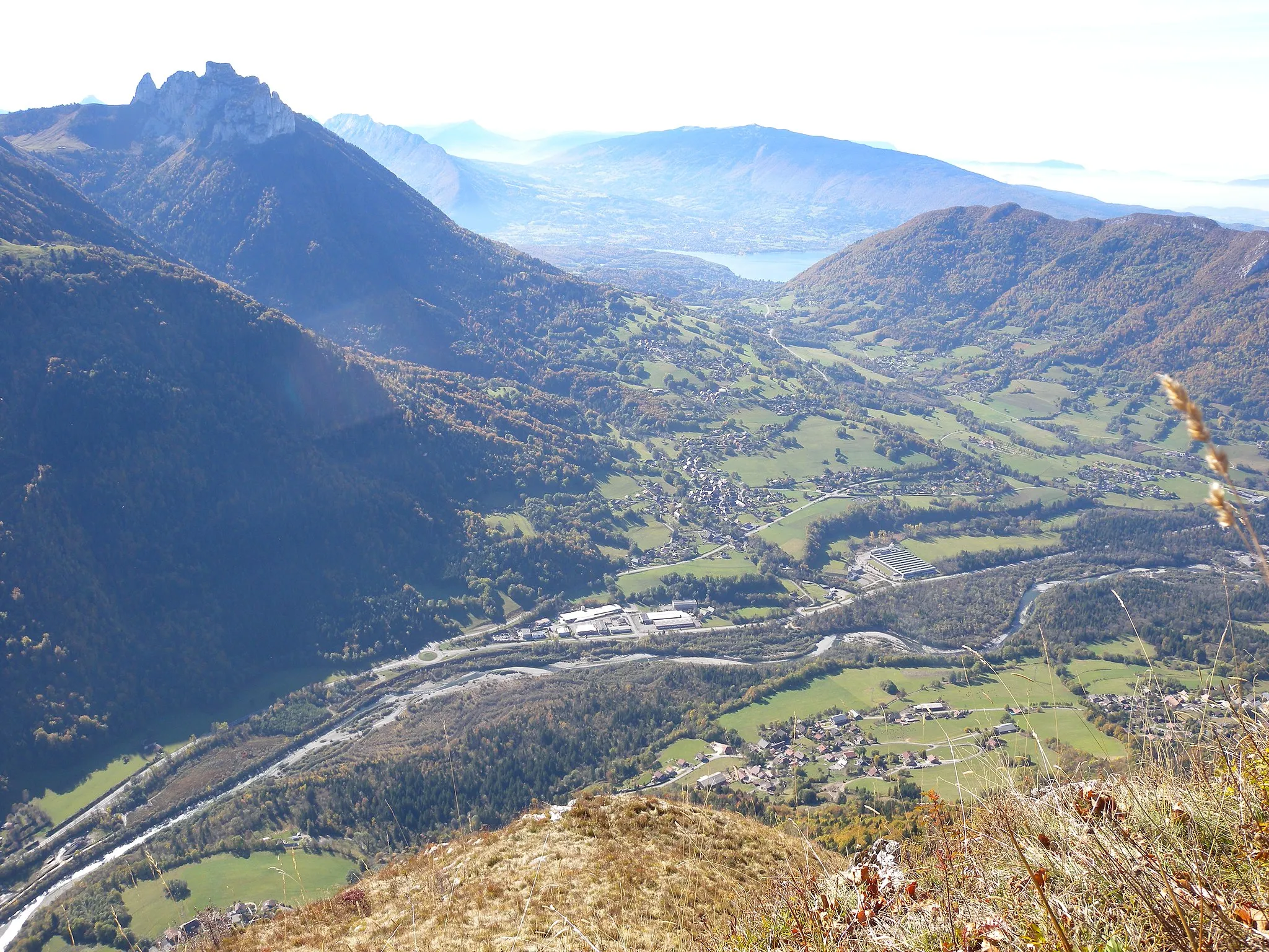
The Annecy Loop is a challenging but incredibly rewarding route that takes you on a 125 kilometer journey around the picturesque Lake Annecy in the Rhône-Alpes region of France. The route features a total ascent of 2108 meters, offering breathtaking views of the surrounding mountains and countryside. It is a popular route among both locals and tourists due to its stunning scenery and challenging climbs. Riders can also explore highlights such as the historic town of Annecy, the ancient Visitation Abbey, and the Col de Leschaux, known for its sweeping views.
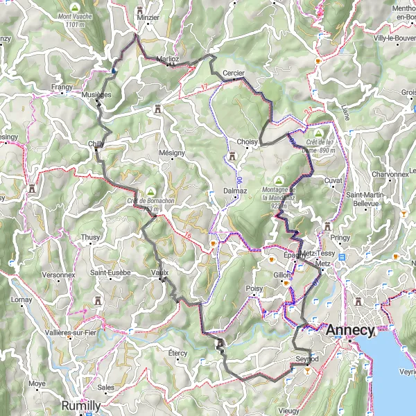
Cycle through picturesque landscapes to the town of Chavanod.
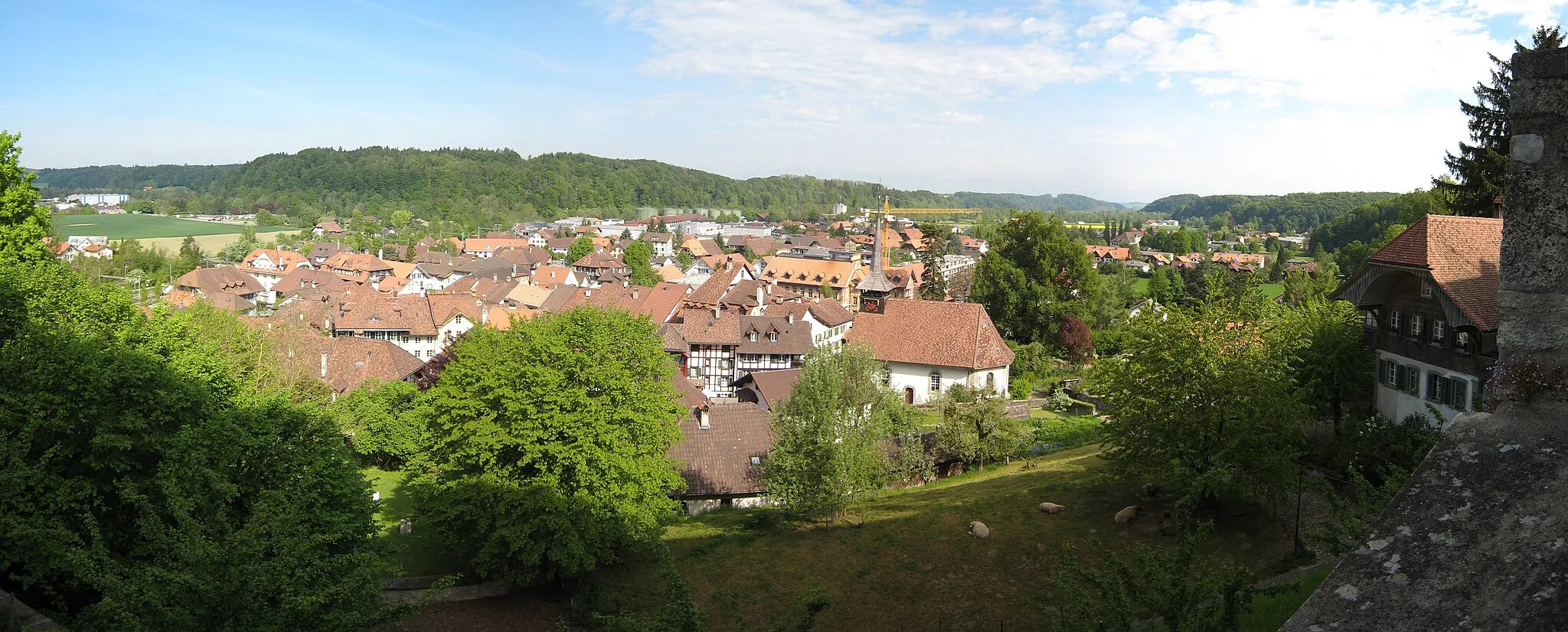
This road route covers a distance of 69 km with an ascent of 1282m. Enjoy the scenic beauty of Rhône-Alpes as you pass through Chavanod, Nonglard, Crêt de Charmont, Le Mont de Musièges, Minzier, Cercier, Montagne de la Mandallaz, and Cran-Gevrier. With highlights such as Montagne de la Mandallaz and Cran-Gevrier, this route offers a mix of peaceful countryside and charming towns.
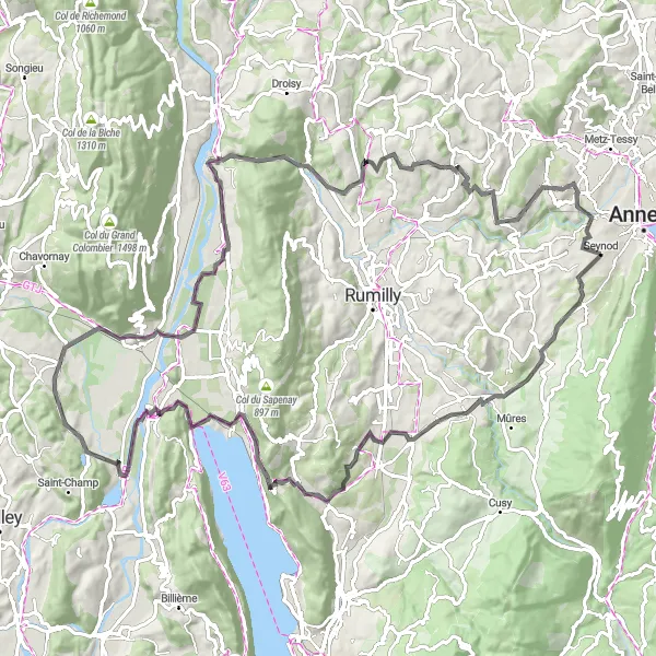
Conquer the mountains on this epic road cycling route in the Rhône-Alpes region
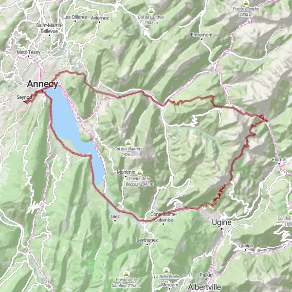
The Mountain Challenge is a 145-kilometer road cycling route that will test even the most experienced riders. With an ascent of 2778 meters, this route is not for the faint-hearted. Starting near Cran-Gevrier, the route takes you through highlights such as Cusy, Aix-les-Bains, and the Belvédère de la Grande Molière. Along the way, you'll be rewarded with stunning views of the mountains and the shimmering lake. The difficulty level of this route is a 5 out of 5, making it only suitable for highly trained cyclists looking for a true challenge. The epicness of this route is also rated as a 4 out of 5, thanks to its breathtaking scenery and legendary climbs.
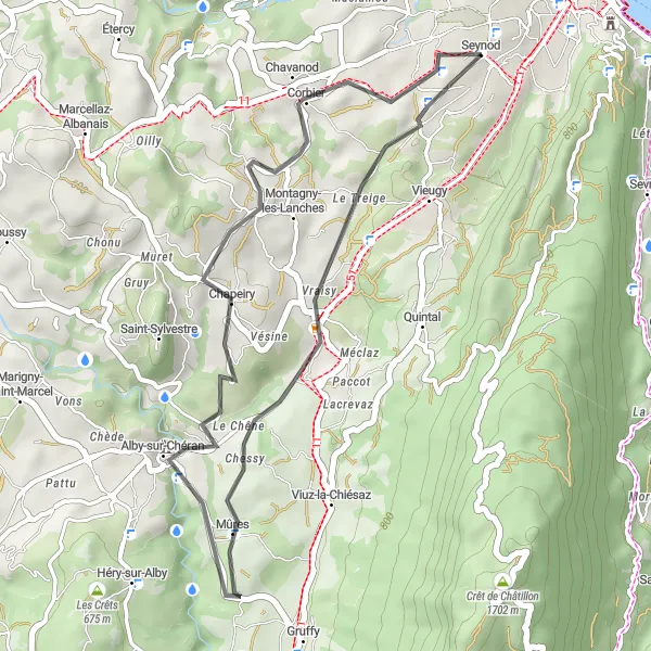
The Lakeside Ride
Explore the picturesque lakeside scenery on this road cycling route near Cran-Gevrier
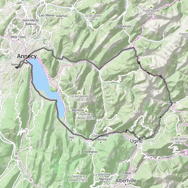
The Lakeside Ride is a 107-kilometer road cycling route that takes you along the beautiful lakeside scenery near Cran-Gevrier. With an ascent of 1780 meters, this route offers a moderate challenge for experienced cyclists. Starting near Cran-Gevrier, the route passes through highlights such as Alby-sur-Chéran, Col de La Chambotte, and Lavours. Along the way, you'll be treated to stunning views of the lake and the surrounding mountains. The difficulty level of this route is rated as a 3 out of 5, making it suitable for cyclists who are looking for a moderate challenge. The epicness of this route is rated as a 3 out of 5, thanks to its scenic beauty and picturesque landscapes.
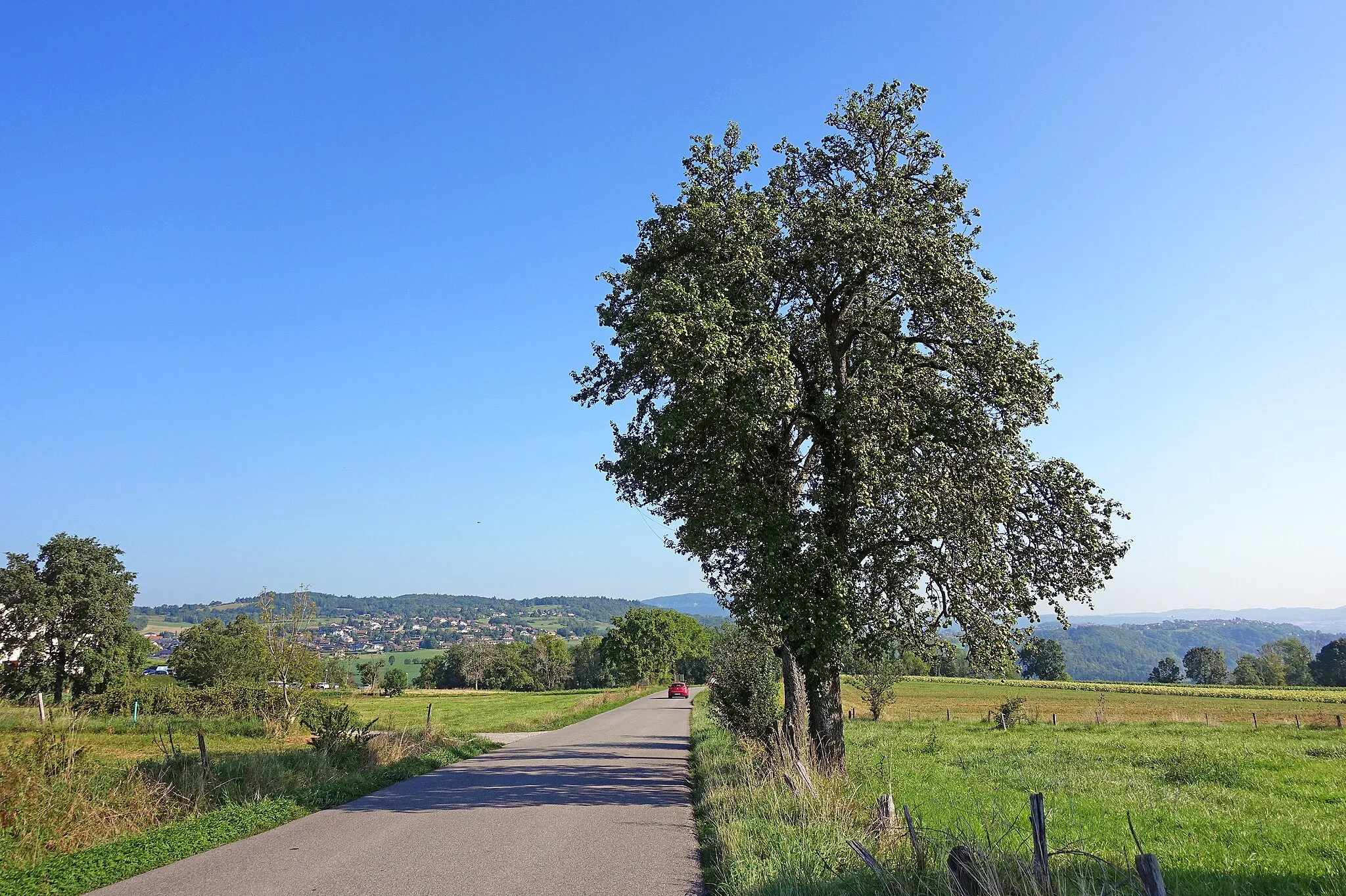
Explore the picturesque Rhône-Alpes countryside on this refreshing cycling loop.
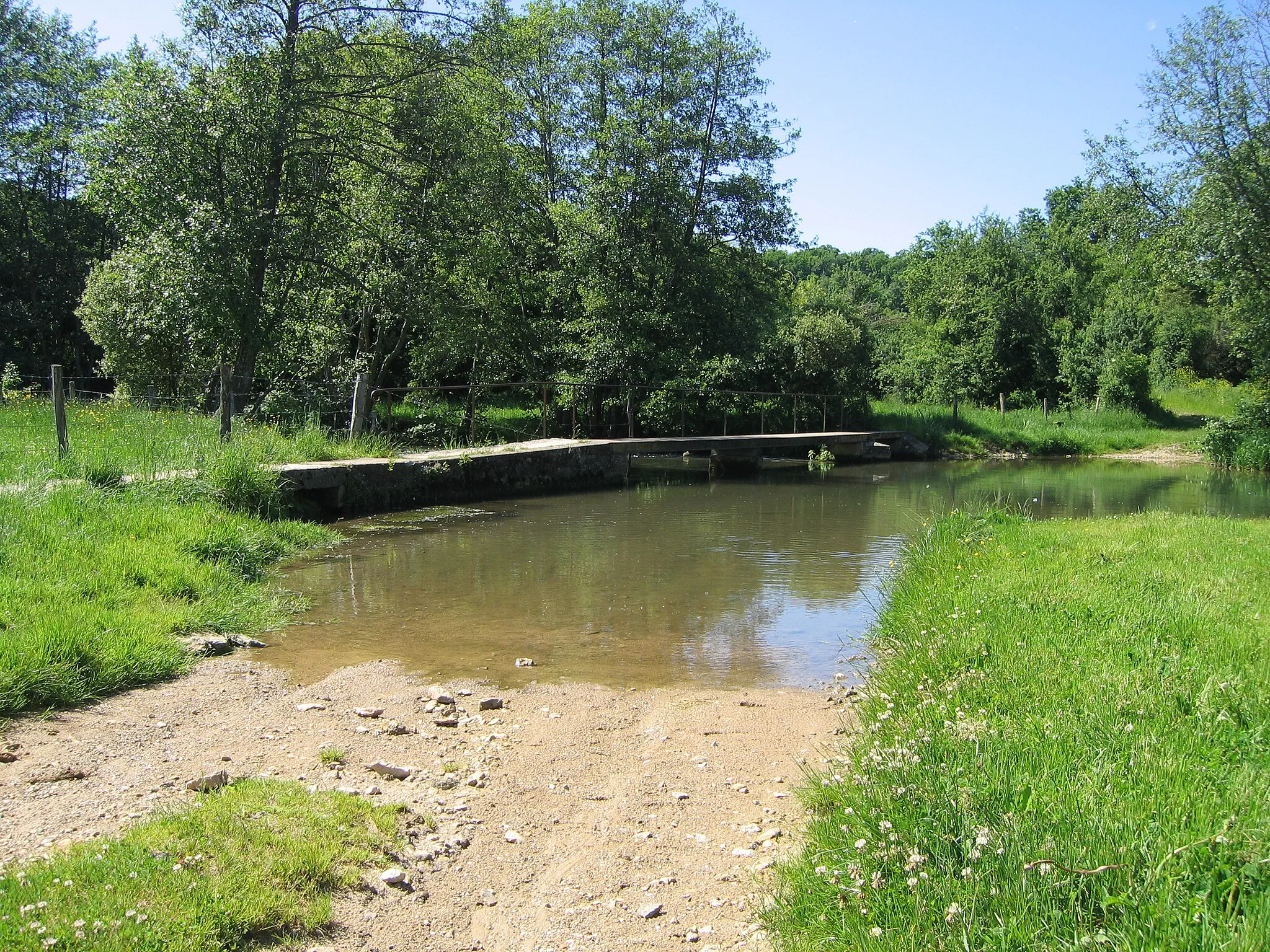
Enjoy a leisurely ride through the quaint countryside surrounding Cran-Gevrier. This route is ideal for riders looking to experience the region's rural charm and serenity without tackling strenuous ascents.
Serene Countryside Adventure
Embark on a scenic journey through picturesque countryside landscapes and charming villages.
Escape the city buzz and immerse yourself in the peace and tranquility of the French countryside. This route is perfect for riders seeking a leisurely and enjoyable cycling experience, with a touch of adventure and exploration.
Embark on an epic gravel cycling adventure with breathtaking views.
Experience the thrill of gravel cycling on this 110 km route, featuring a total ascent of 2925m. Intrepid cyclists will have the opportunity to conquer Mont Rampignon, Alex, Thônes, Col des Aravis, Praz Véchin, Marlens, Roc de Viuz, Annecy, and Visitation. Enjoy stunning panoramas and rugged landscapes as you challenge yourself on this epic journey.
The Aravis Odyssey
Embark on an epic journey through the Aravis Mountains and discover the rugged beauty of this Alpine region.
The Aravis Odyssey is a challenging route that takes cyclists on a 110 kilometer journey through the stunning Aravis Mountains in the Rhône-Alpes region of France. With a total ascent of 2555 meters, this route is best suited for well-trained cyclists seeking a high-adrenaline adventure. Highlights along the route include the Mont Rampignon, Dingy-Saint-Clair, and the Col des Aravis. Overall, the Aravis Odyssey offers a combination of breathtaking scenery, challenging climbs, and cultural attractions that make it an unforgettable cycling experience.
Cycle through scenic landscapes to the charming town of Marcellaz-Albanais.
This gravel route takes you on a 65 km journey through beautiful Rhône-Alpes landscapes. With a total ascent of 1133m, you'll have the opportunity to challenge yourself while enjoying panoramic views. The route includes highlights such as Mont Pély, Château de Clermont en Genevois, Crêt de Tilly, Mésigny, Sillingy, and Meythet.
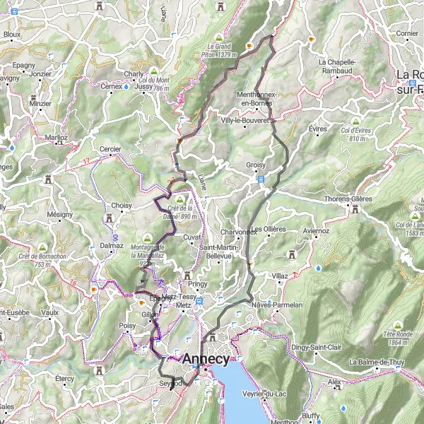
Embark on an exhilarating cycling journey through breathtaking mountain landscapes.
Discover the beauty of Rhône-Alpes as you tackle challenging ascents and enjoy stunning views along the way. This route promises an unforgettable experience for cycling enthusiasts seeking a thrilling adventure in the French Alps.
Cycling routes nearby:


Nearby regions: