Breathtaking cycling routes in Rhône-Alpes
Cycling routes from Groisy
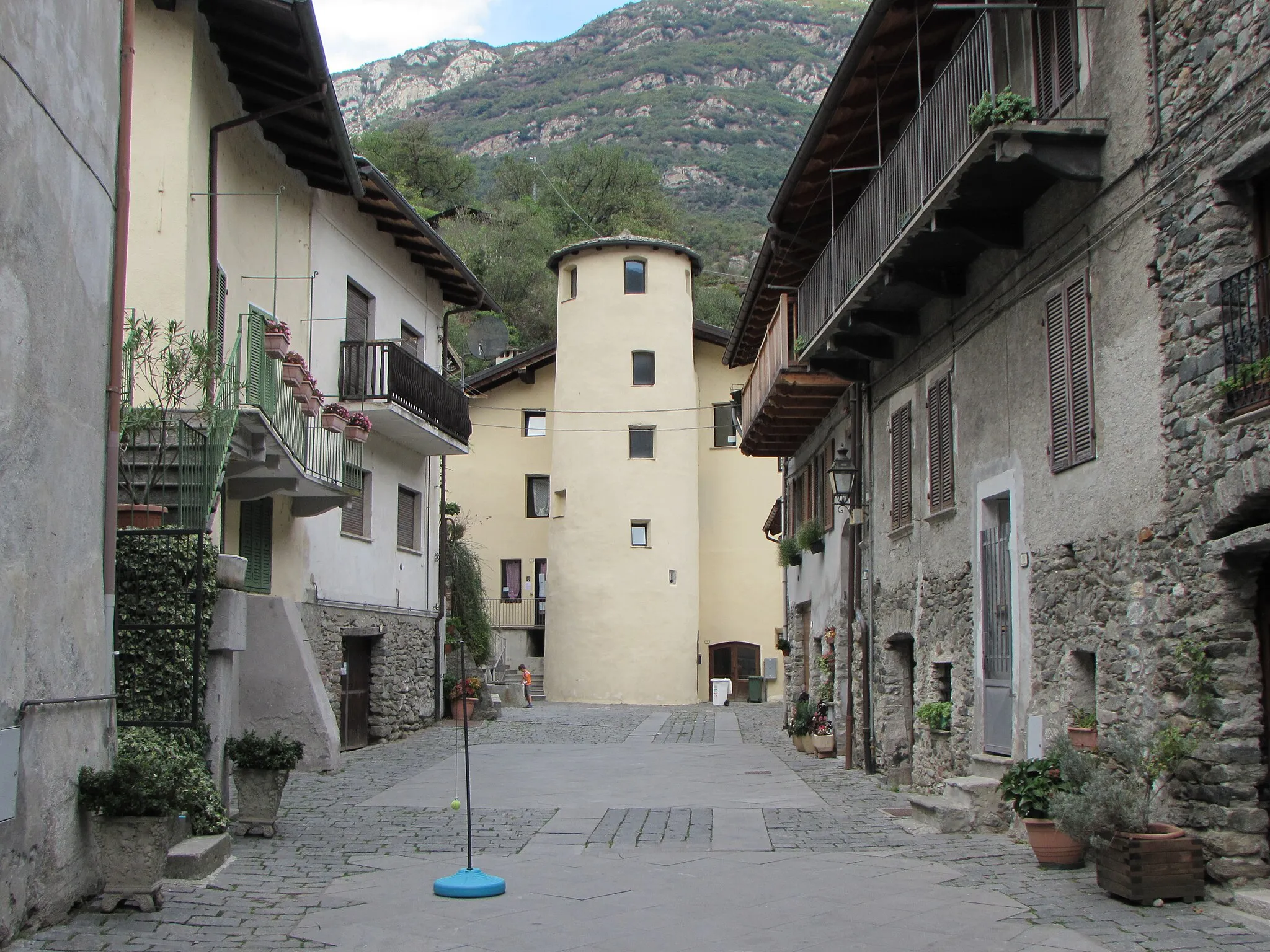
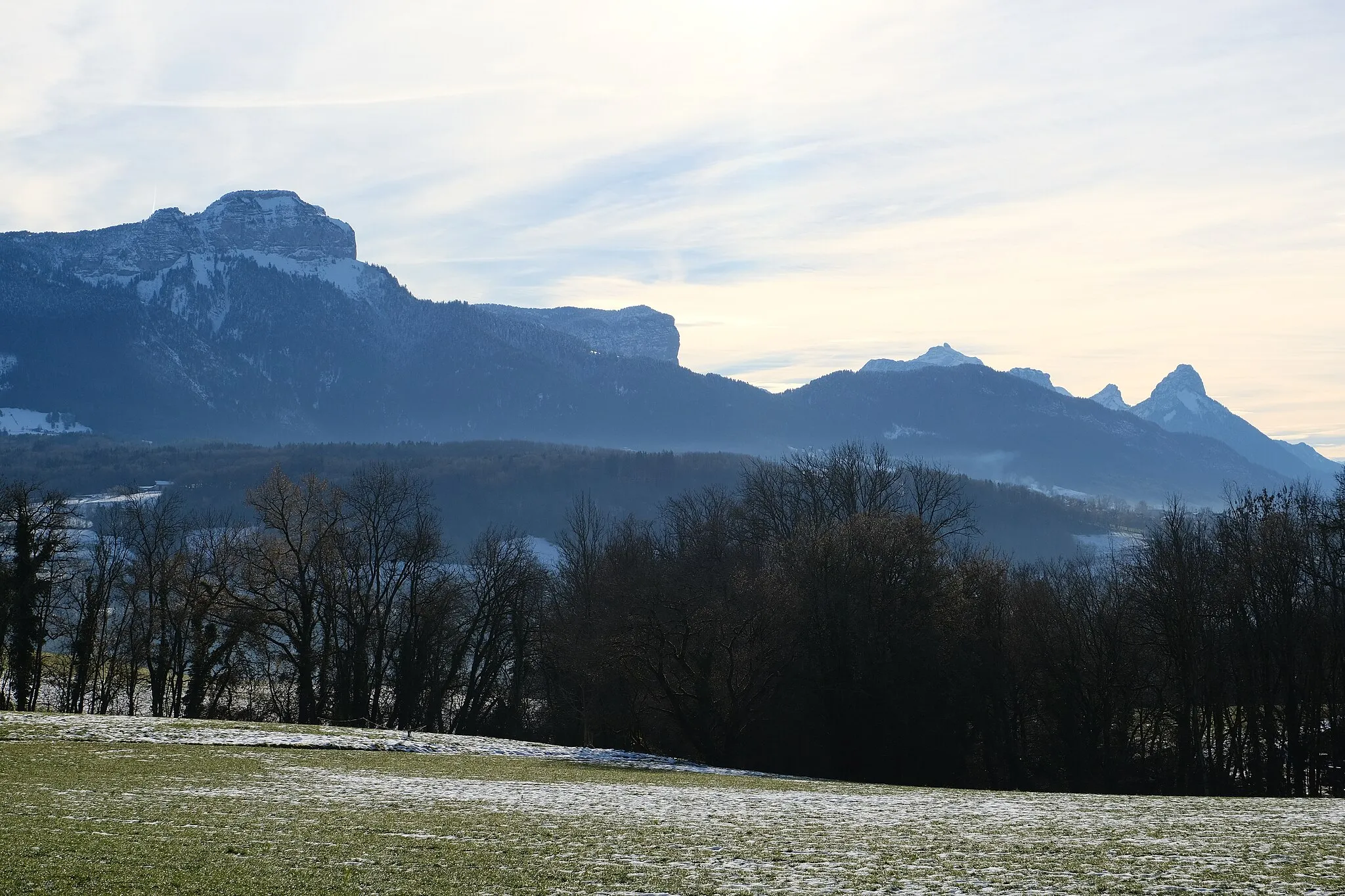
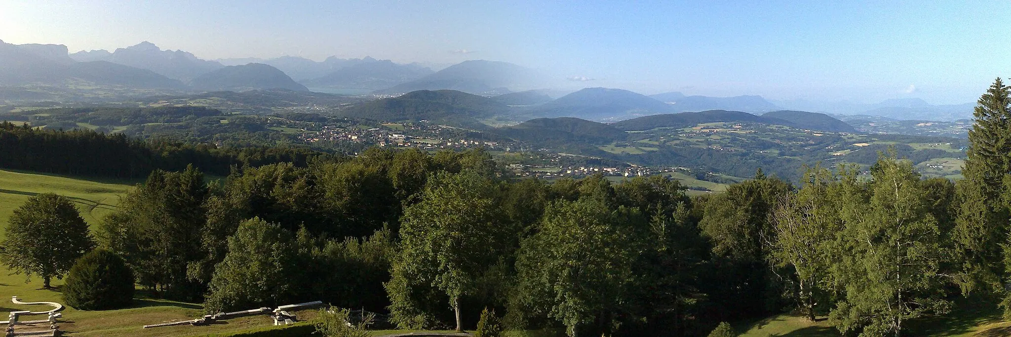
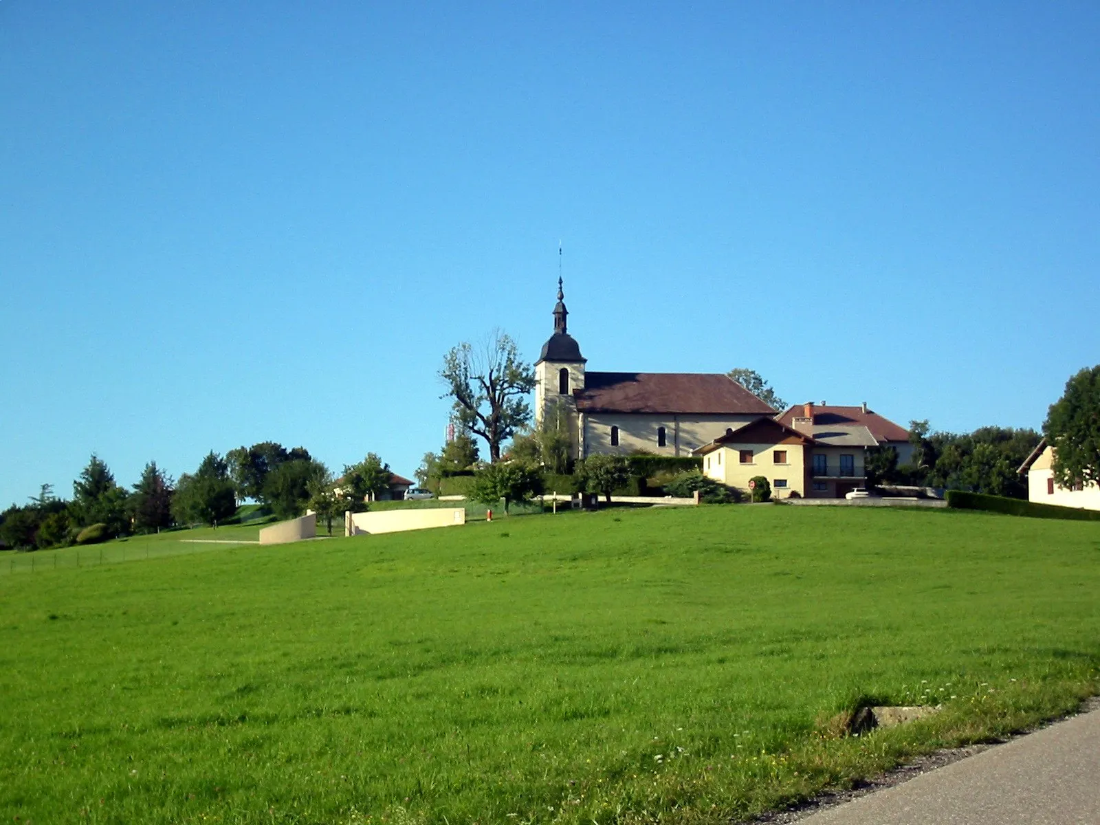
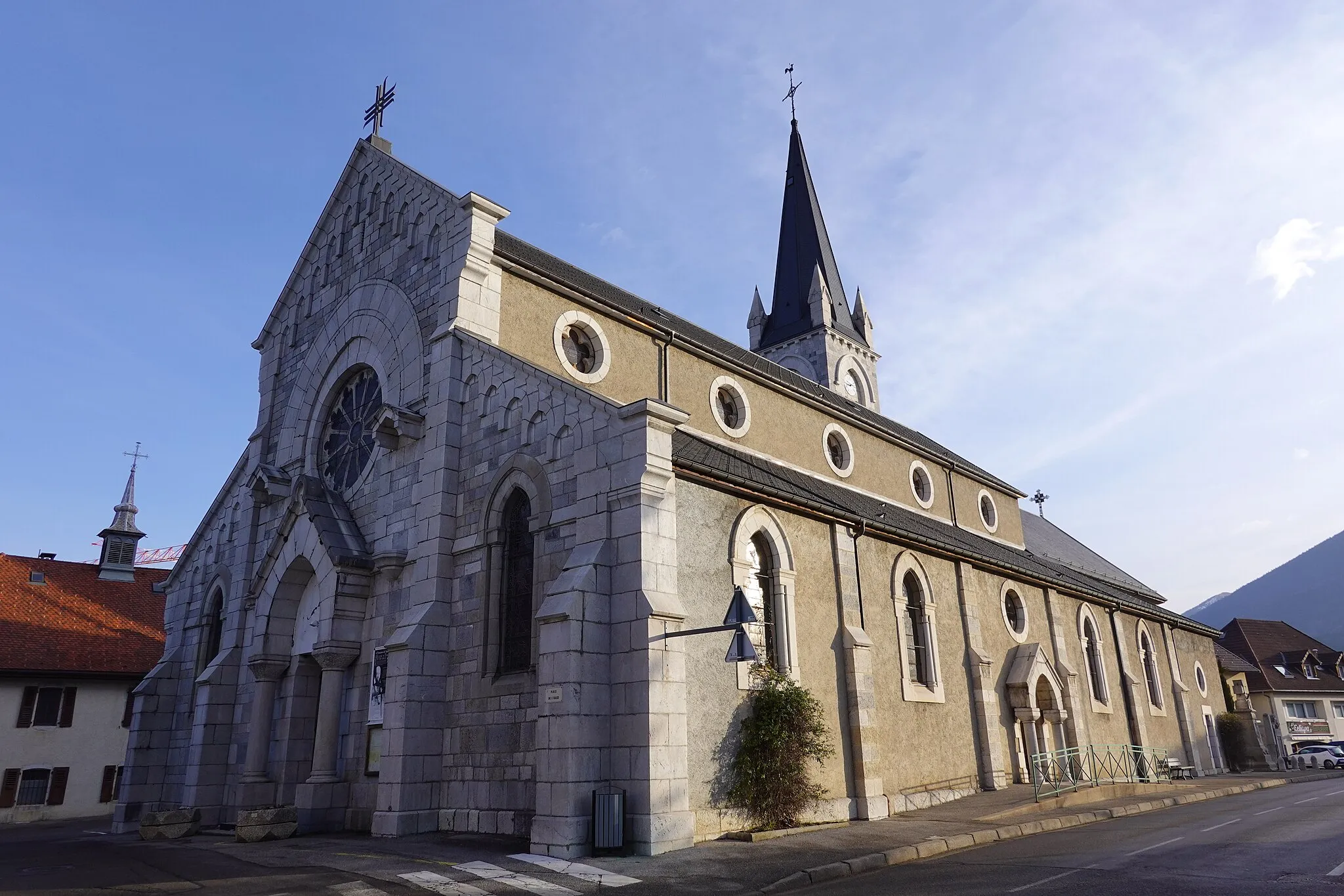
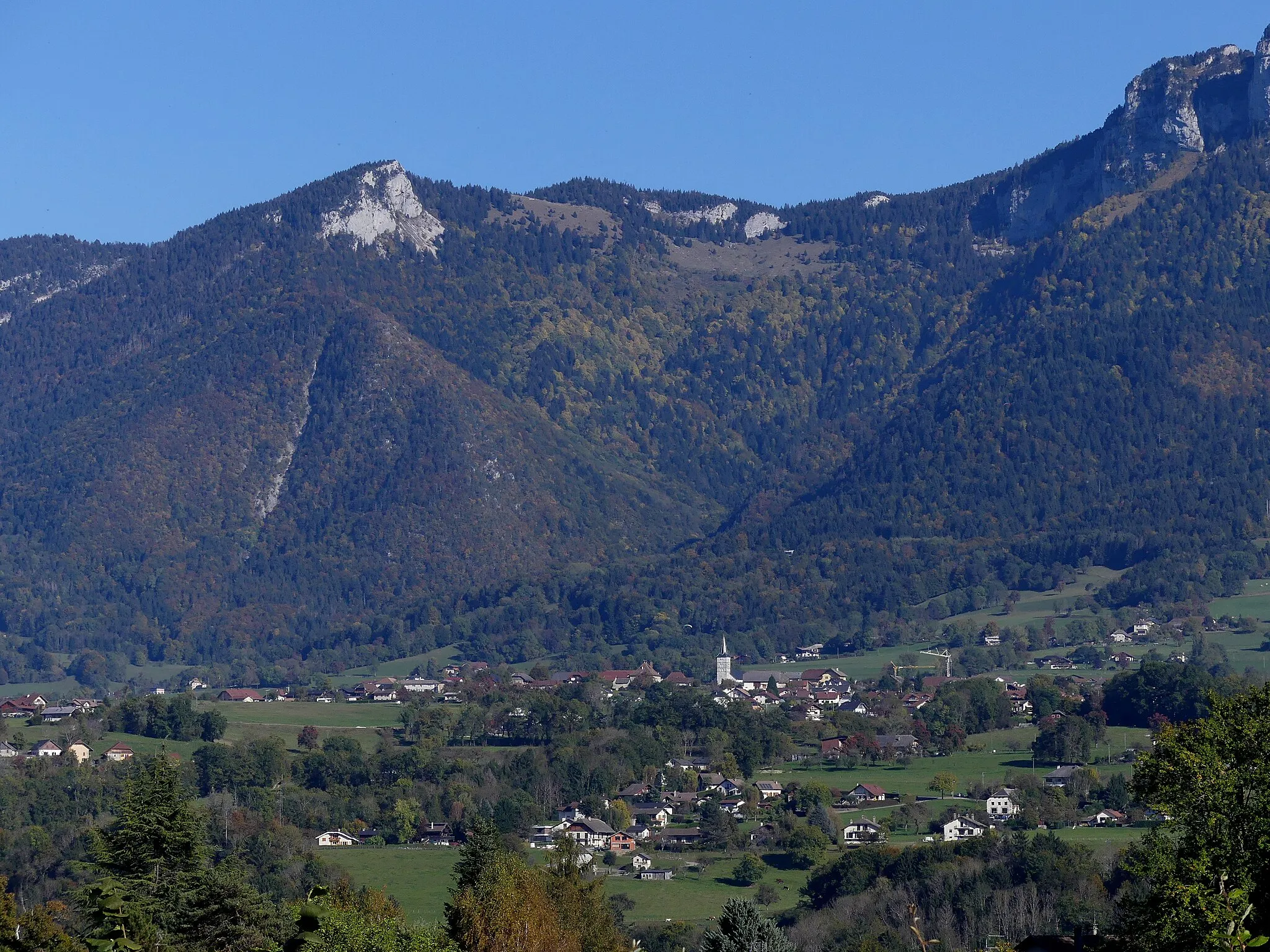
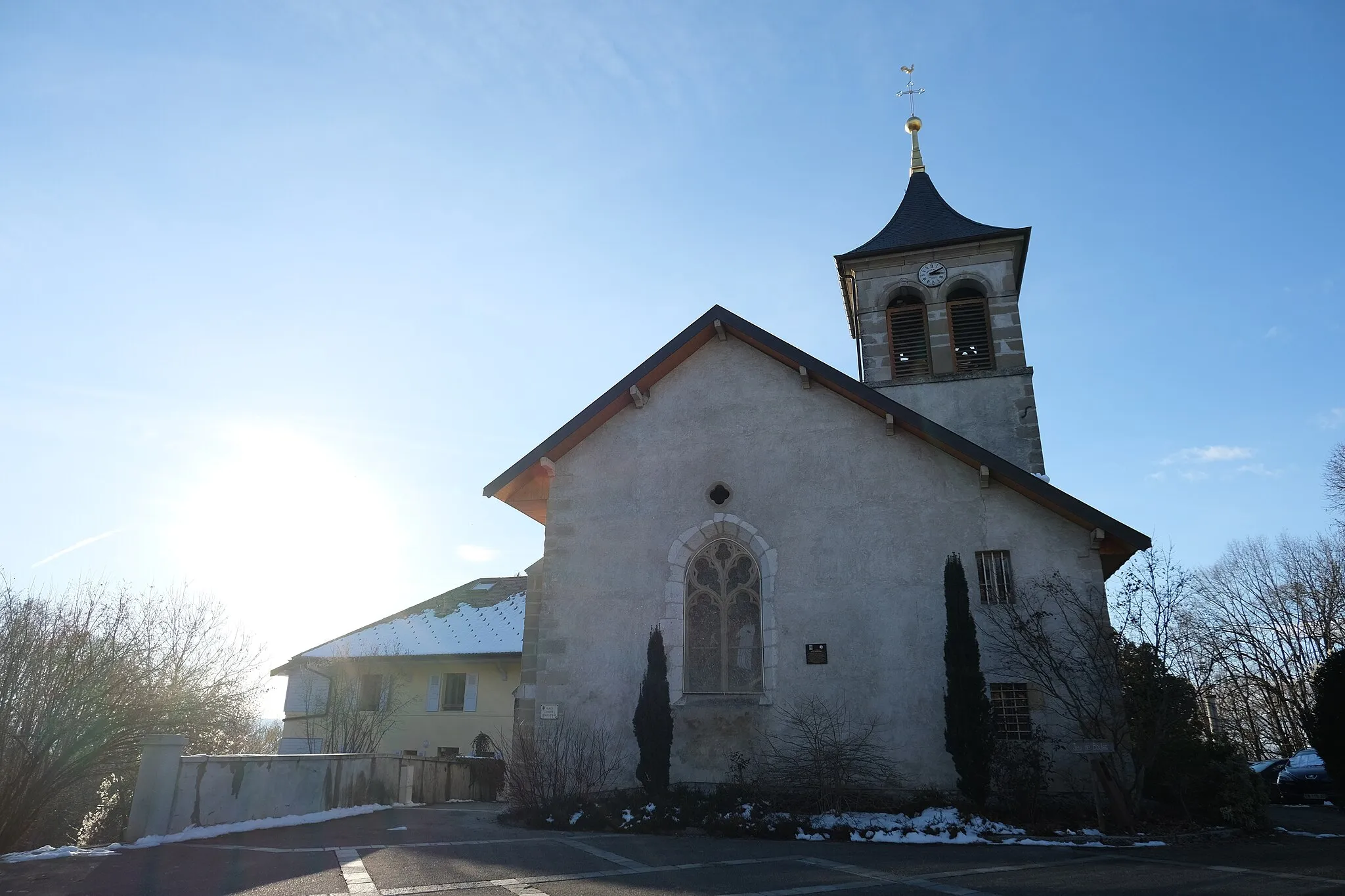
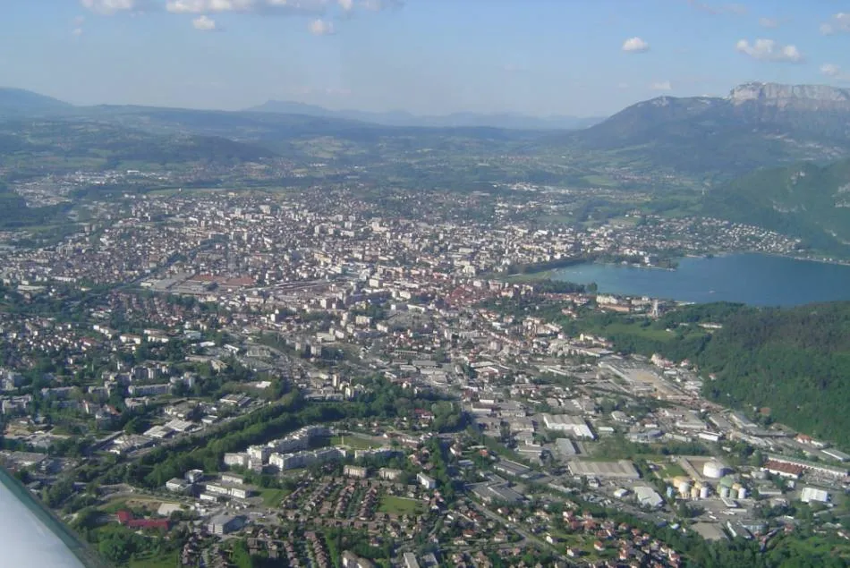
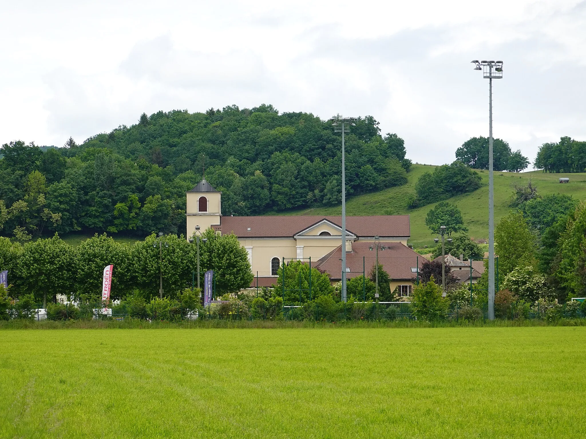
Groisy, nestled in the Rhône-Alpes region of France, is a beautiful locality for cyclists. The area offers a mix of challenging climbs and rolling countryside routes, catering to all levels of cyclists. Famous cycling spots nearby include the Col de l'Épine and the Col de la Croix Fry, which offer breathtaking views at their summits. Groisy has cyclist-friendly services and amenities, such as bike rental shops and cyclist-friendly accommodations. With its stunning natural beauty and diverse cycling opportunities, Groisy is a fantastic destination for road and gravel cyclists alike.
A scenic road cycling route that passes through charming villages and beautiful natural landscapes.
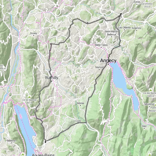
The Scenic Tour from Groisy to Rumilly is a delightful road cycling route that takes you through picturesque villages and stunning natural landscapes. With a total ascent of 1863 meters and a distance of 110 kilometers, this route offers a moderate challenge for well-trained amateurs. Along the way, you'll encounter highlights such as Annecy and Pont de l'Abîme, which offer unique cultural experiences and breathtaking views.

An adventurous road cycling route that explores the stunning landscapes of the Rhône-Alpes region.
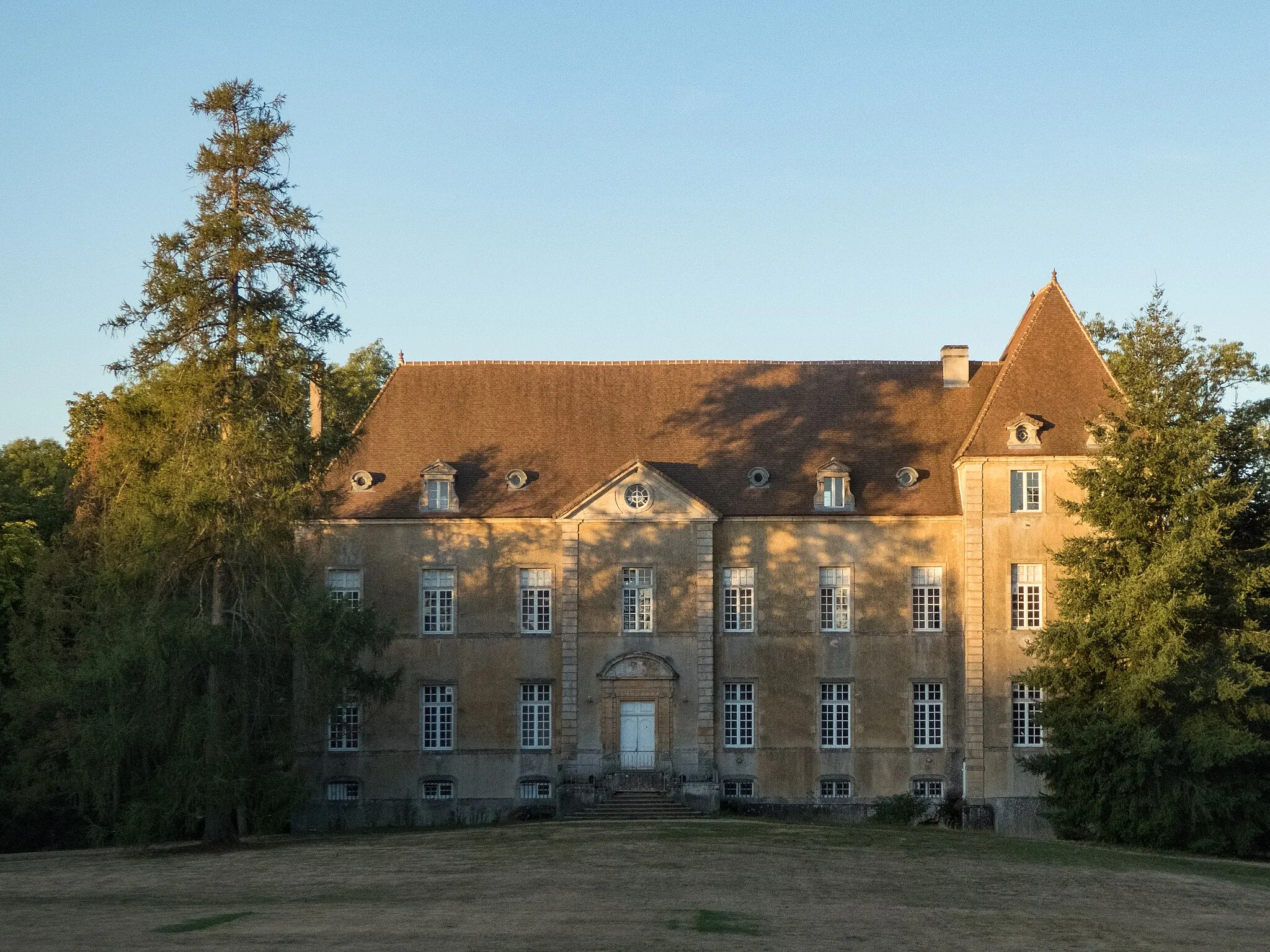
The Groisy to Bellegarde-sur-Valserine Adventure is an epic road cycling route that takes you through breathtaking landscapes and charming villages. With a total ascent of 1989 meters and a distance of 115 kilometers, this route offers a challenging ride for well-trained amateurs. Along the way, you'll encounter highlights such as La Balme-de-Sillingy and Château de Groisy, which provide unique cultural experiences and magnificent views.
Groisy Gravel Adventure
An exhilarating gravel cycling route that explores the scenic countryside near Groisy.
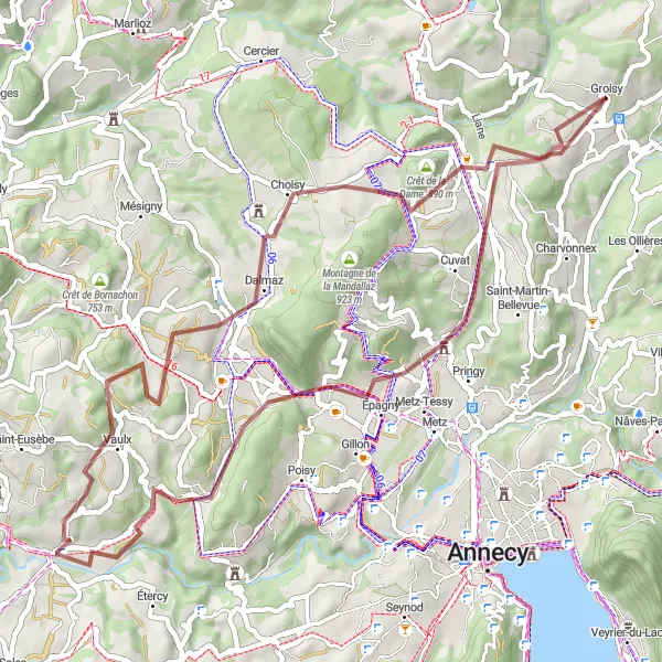
The Groisy Gravel Adventure is a thrilling cycling route that takes you off the beaten path and into the beautiful countryside surrounding Groisy. With a total ascent of 1012 meters and a distance of 55 kilometers, this route offers a moderate challenge for gravel enthusiasts. Along the way, you'll encounter highlights such as Cuvat and Hauteville-sur-Fier, which provide intriguing insights into local history and culture.
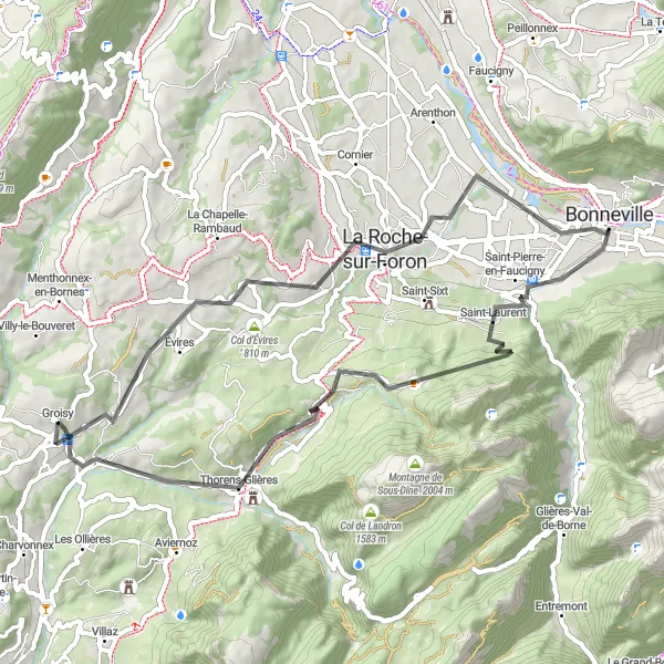
A scenic road cycling route from Évires to Thorens-Glières
Cycle through picturesque landscapes on this road cycling route from Évires to Thorens-Glières. With a distance of 57 kilometers and a moderate ascent of 1107 meters, this ride offers a good mix of challenges and stunning scenery. Highlights along the way include the charming village of Amancy and the historic Bonneville. The route also takes you to Pointe de la Dent, offering breathtaking views of the surrounding mountains. Don't miss the opportunity to visit the majestic Château de Groisy near Thorens-Glières.

A thrilling road cycling route that explores the diverse landscapes of the Rhône-Alpes region.
The Groisy to Seyssel Adventure is an epic road cycling route that takes you through diverse landscapes and charming villages. With a total ascent of 2587 meters and a distance of 125 kilometers, this route offers a challenging ride for well-trained amateurs. Along the way, you'll encounter highlights such as Cuvat and Seyssel, which offer unique cultural experiences and stunning natural beauty.

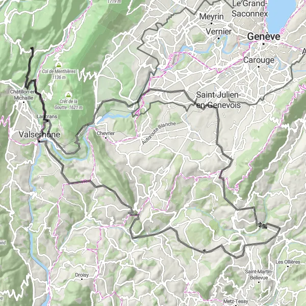
An epic gravel cycling route from Groisy to Geneva
Embark on an epic gravel adventure from Groisy to Geneva, covering a distance of 77 kilometers with a challenging ascent of 1350 meters. This route showcases the diverse landscapes of the region, taking you through forests, mountains, and picturesque villages. Highlights along the way include the breathtaking Col du Mont Sion and the stunning Belvédère de l'Observatoire viewpoint. With its challenging terrain and stunning views, this route is perfect for experienced gravel riders seeking an unforgettable adventure.

An epic gravel adventure through the Aravis Mountains
Embark on an unforgettable gravel adventure through the majestic Aravis Mountains. This challenging route covers a distance of 131 kilometers, with a whopping ascent of 3860 meters. Highlights along the way include the historic town of La Roche-sur-Foron, the charming village of Sallanches, and the breathtaking Col des Aravis. Traverse stunning landscapes and enjoy panoramic views from the Summit des Salles and Belvédère de l'Arpettaz. Don't miss the opportunity to explore the picturesque town of Thônes and visit the impressive Château de Groisy before completing this epic journey.
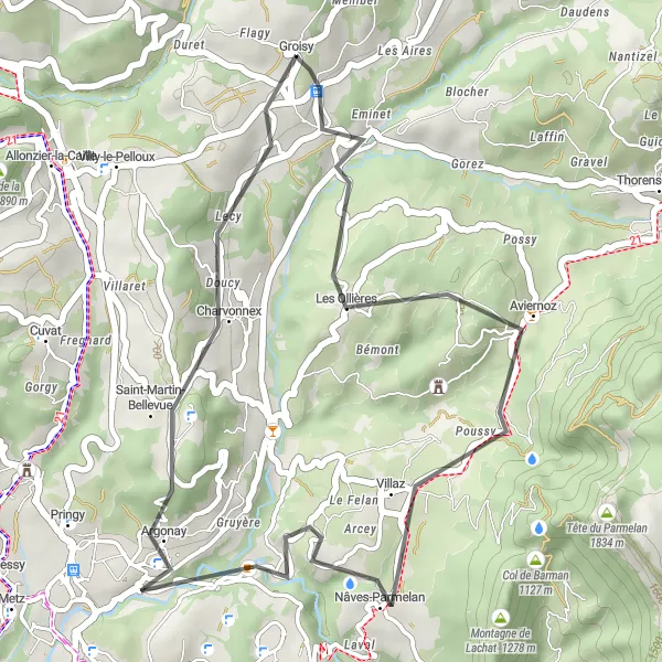
Argonay Circuit

A challenging road cycling circuit featuring the highlights of Argonay
Discover the highlights of Argonay with this challenging road cycling circuit. With a distance of 73 kilometers and a moderate ascent of 1252 meters, this route is suitable for experienced cyclists looking for a demanding ride. Along the way, you'll pass through the historic village of Visitation and enjoy breathtaking views from Boussy. The highlight of this circuit is the climb up Mont Pelé, offering panoramic vistas of the surrounding landscape.
Groisy Loop
A scenic road cycling route starting and ending in Groisy
This route offers stunning views of the surrounding countryside as it takes you through charming villages and beautiful natural landscapes. With a manageable distance of 33 kilometers and moderate ascent, this loop is suitable for cyclists of all skill levels. The highlights along the route include the village of Villaz, known for its picturesque streets, and the lovely Plage beach. Overall, the Groisy Loop is a delightful ride that showcases the beauty of the Rhône-Alpes region.
A challenging road cycling route with breathtaking views of the Rhône-Alpes region.
The Groisy to Bellegarde-sur-Valserine loop is a tough and rewarding cycling route that takes you through picturesque villages and stunning natural landscapes. With a total ascent of 2295 meters and a distance of 128 kilometers, this route offers a challenging ride for well-trained amateurs. Along the way, you'll encounter highlights such as Villy-le-Pelloux and Sallenôves, which offer unique charm and cultural experiences.
Cycling routes nearby:

Nearby regions: