Discover the beauty of Beaujolais vineyards and conquer Mount Brouilly in Le Bois-d'Oingt, France.
Cycling routes from Le Bois-d'Oingt
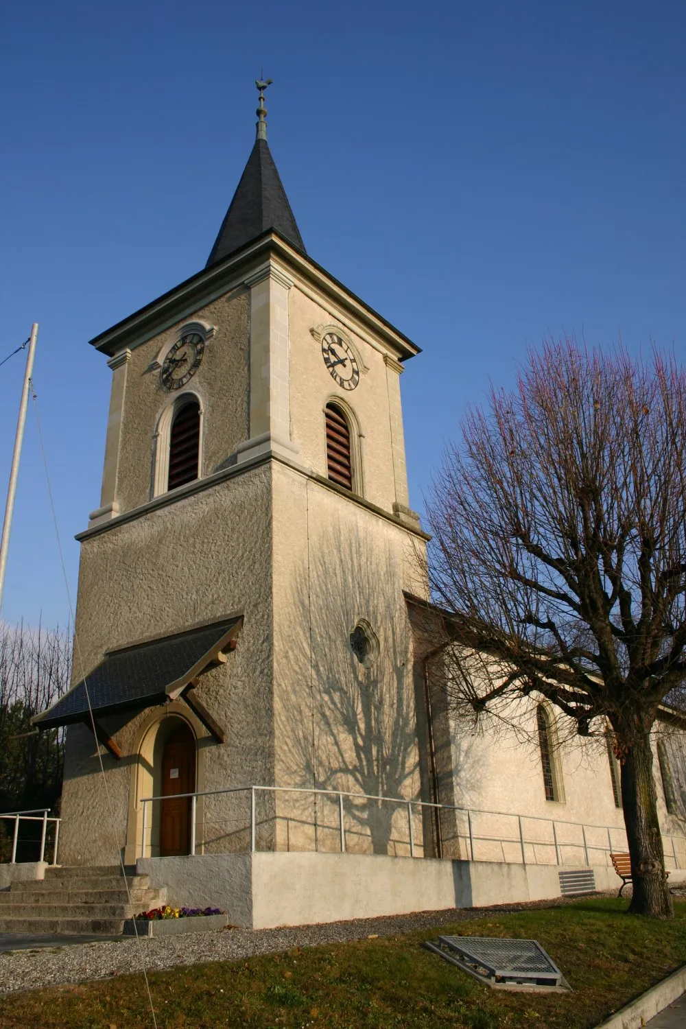
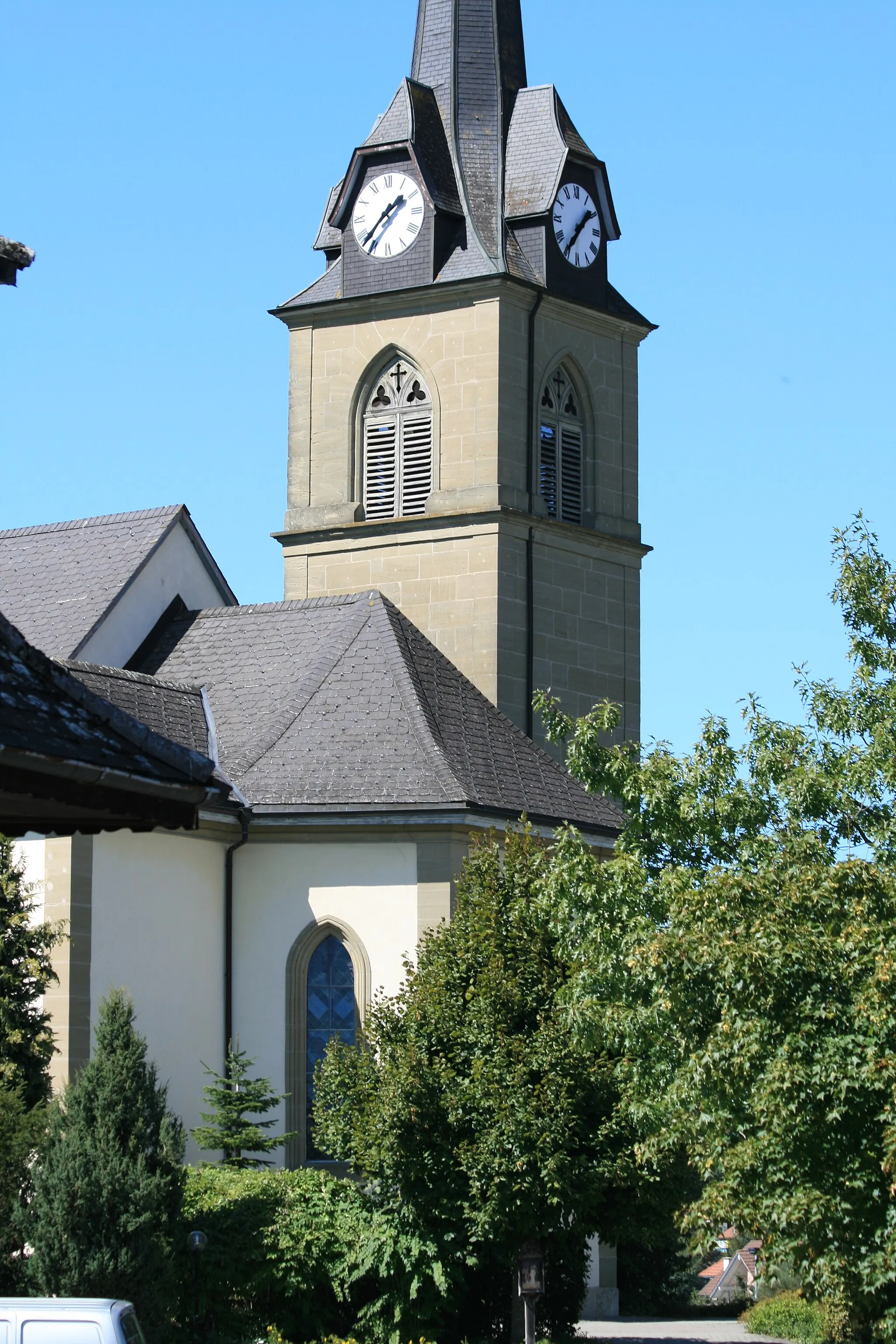
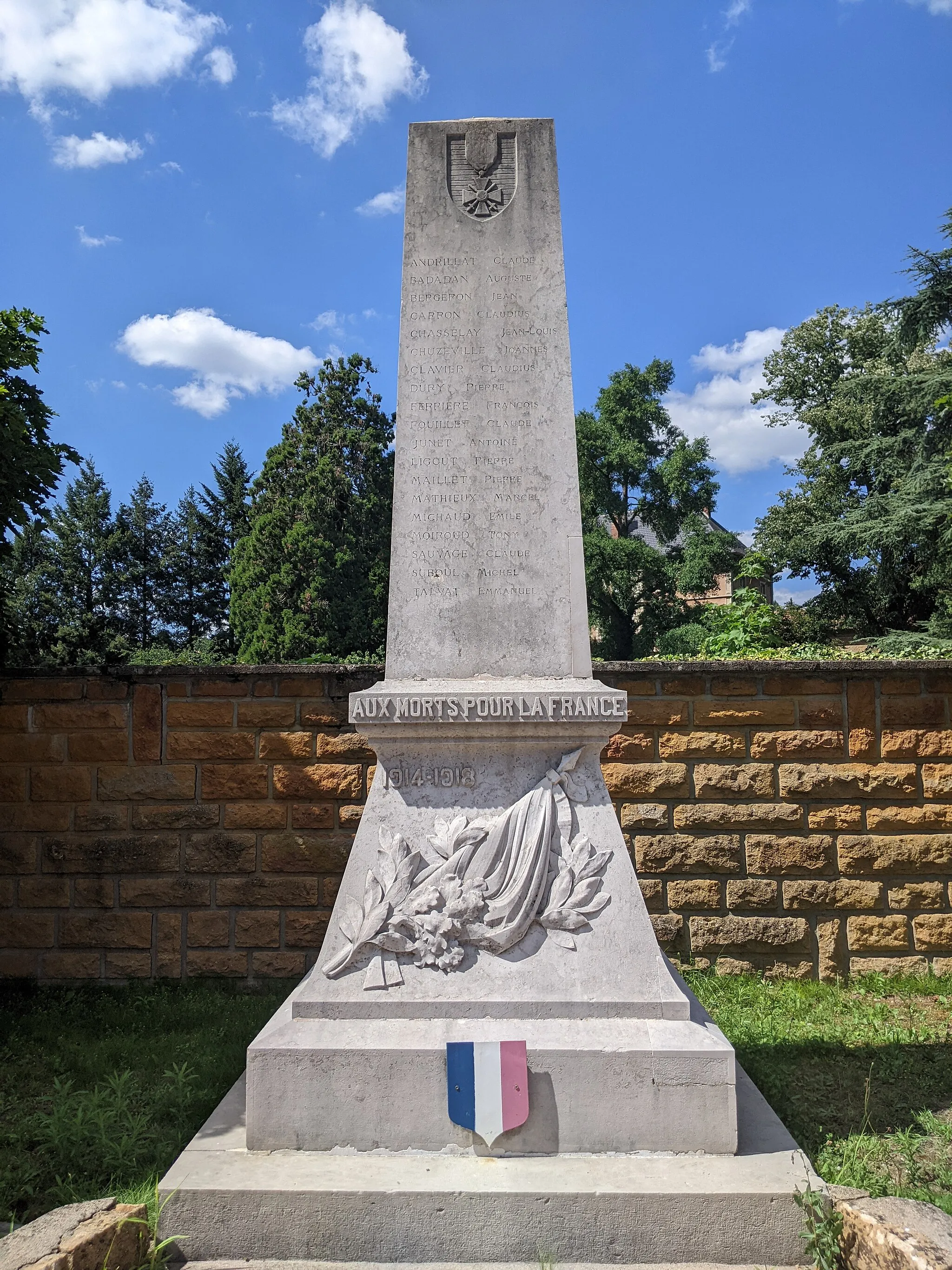
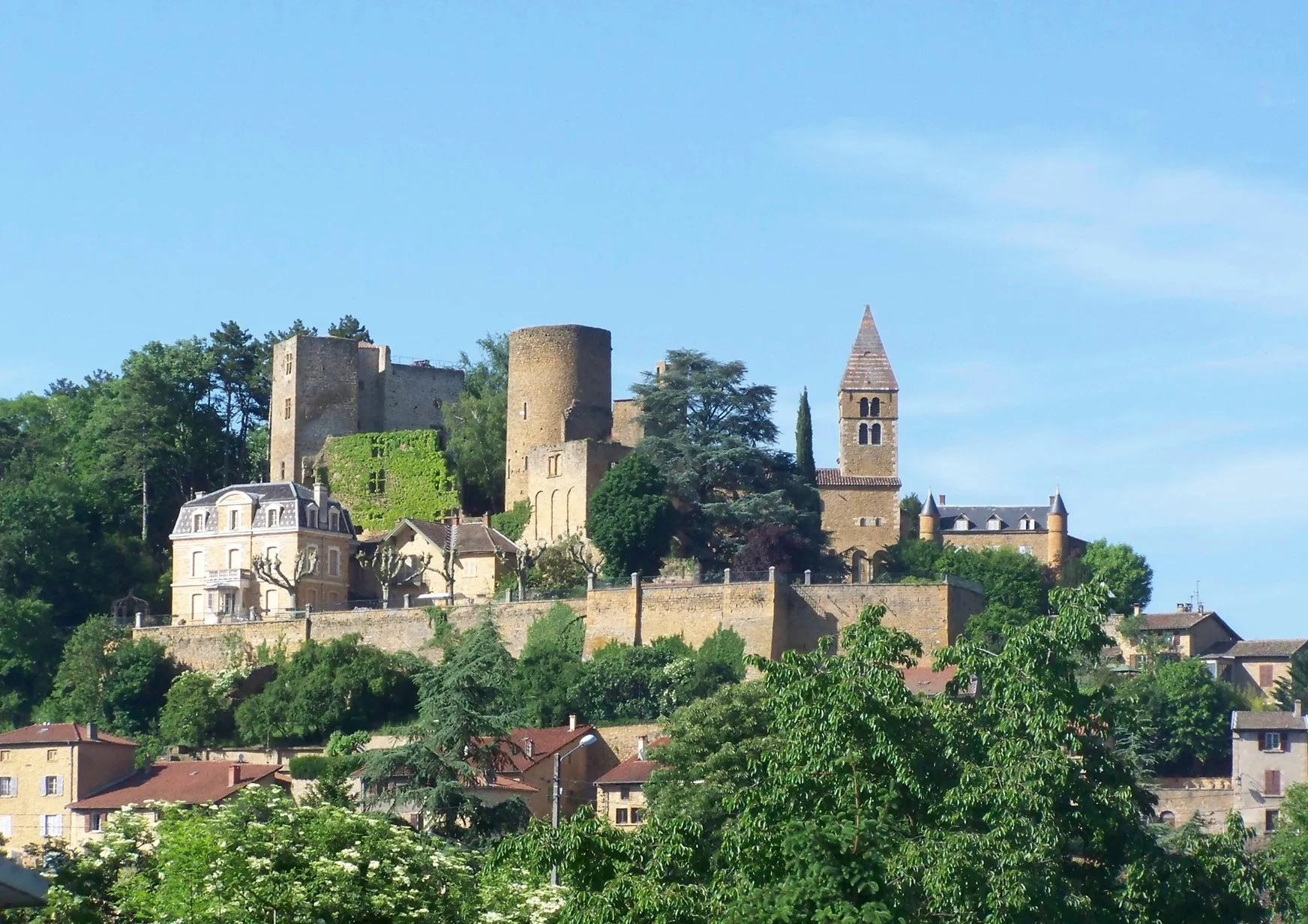
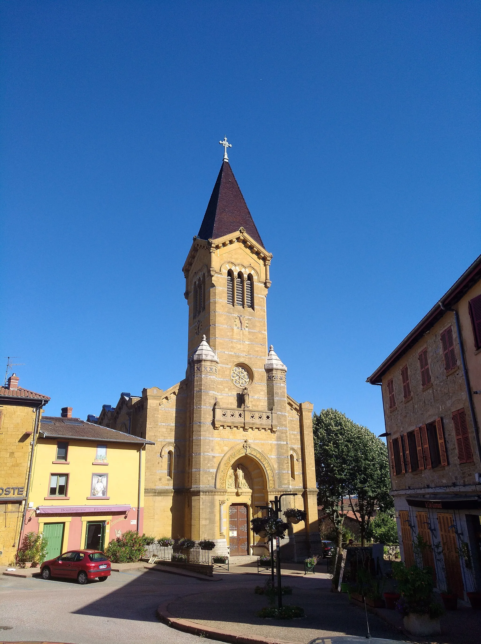
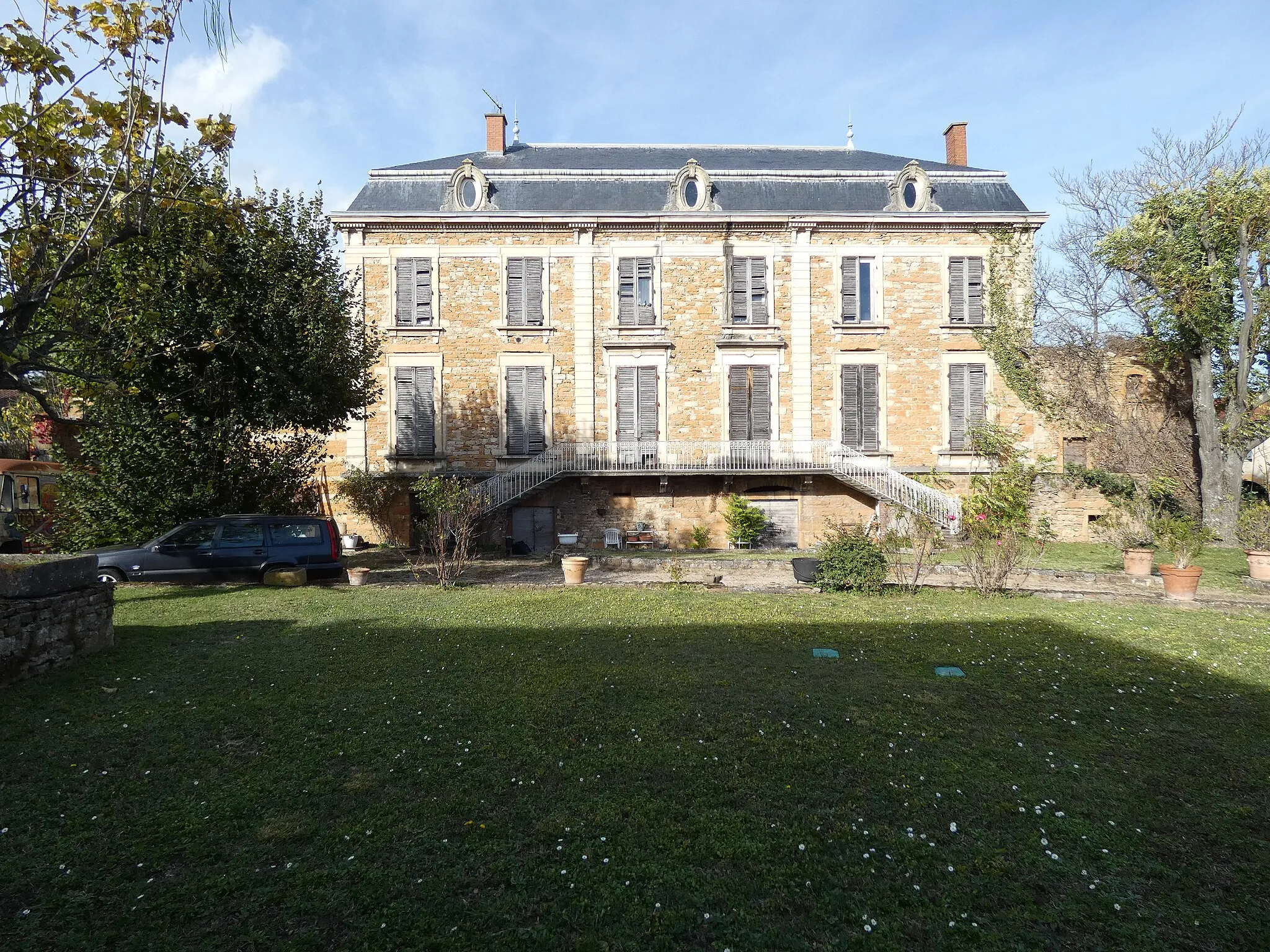
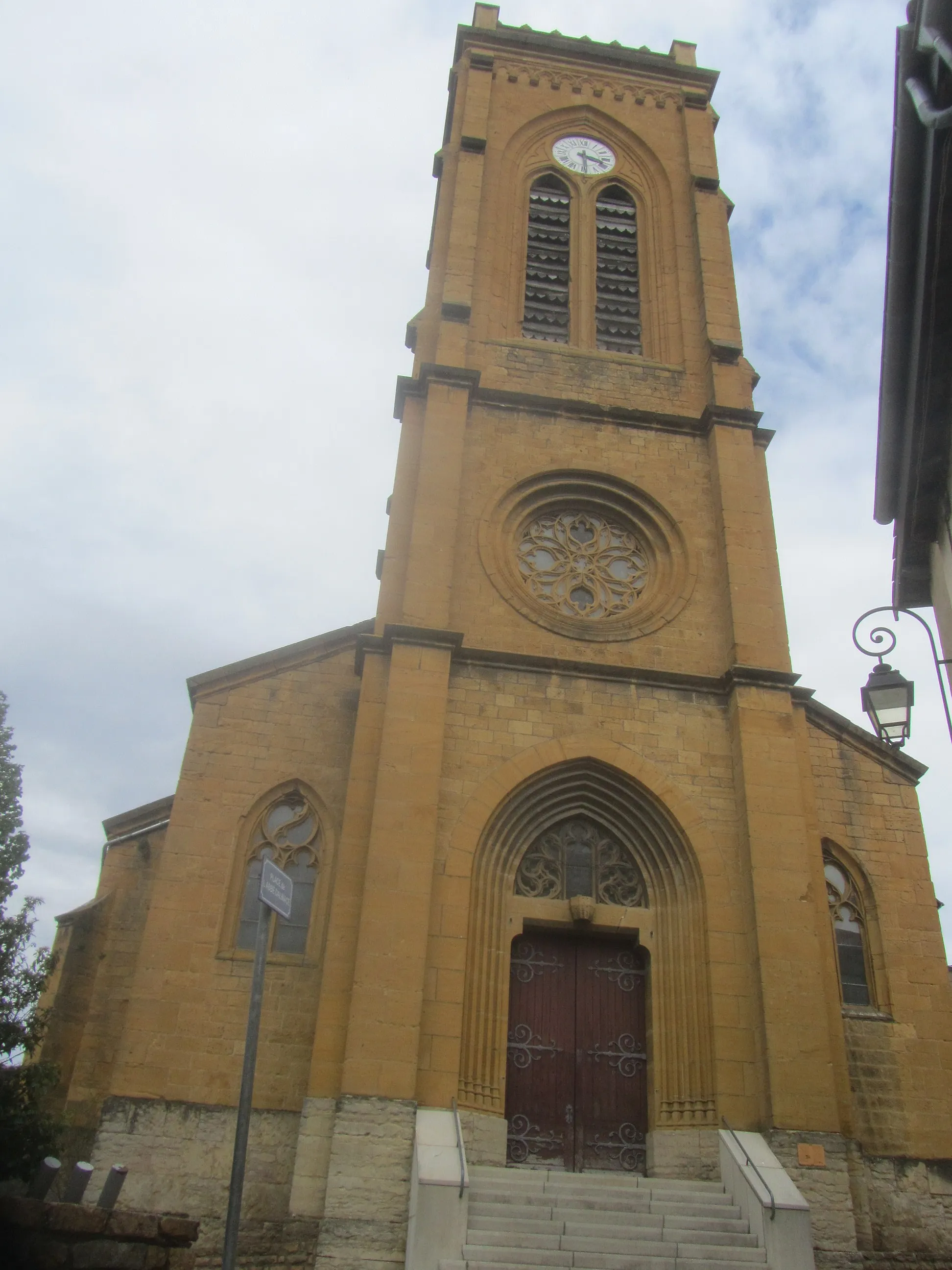
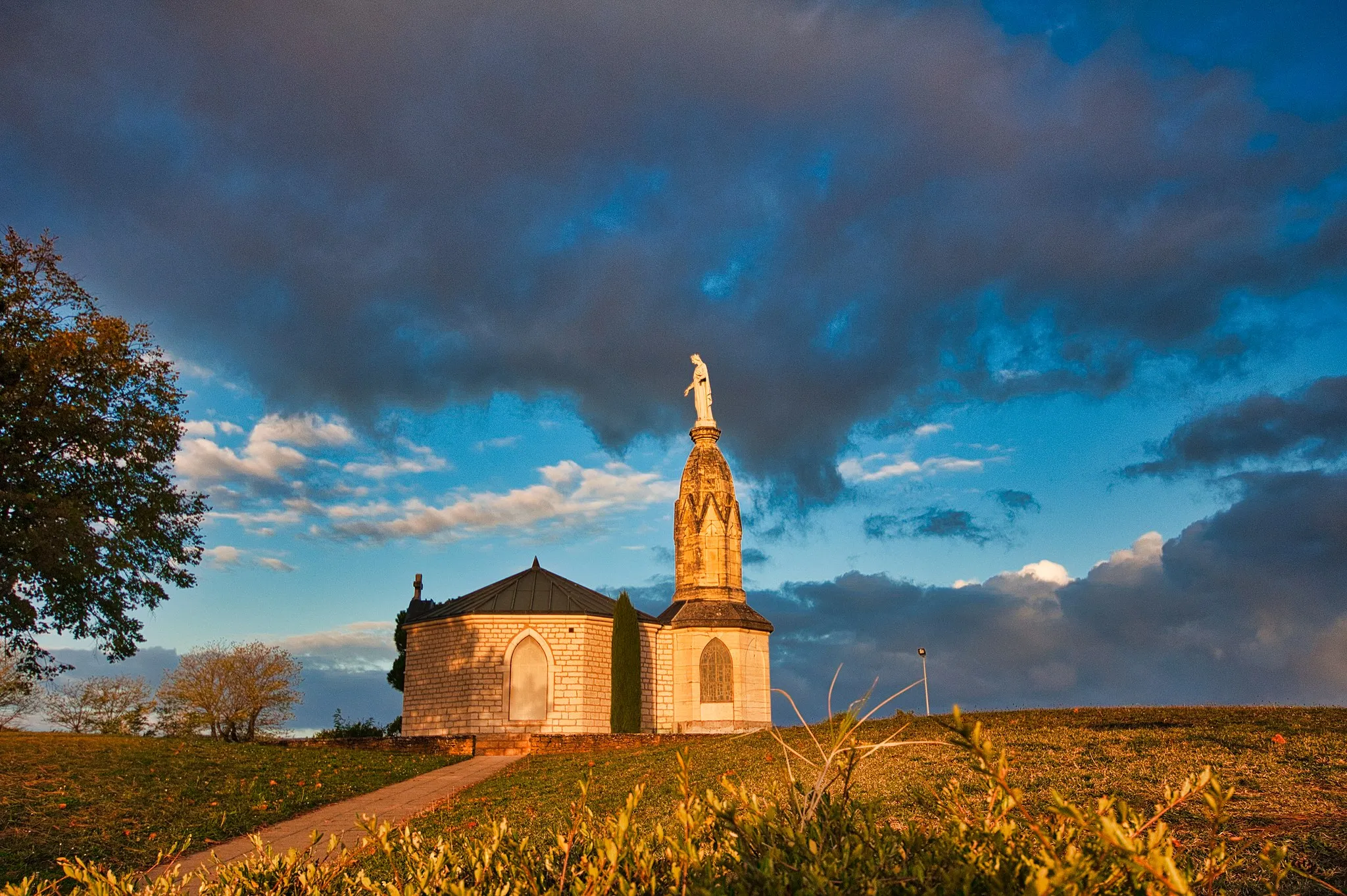
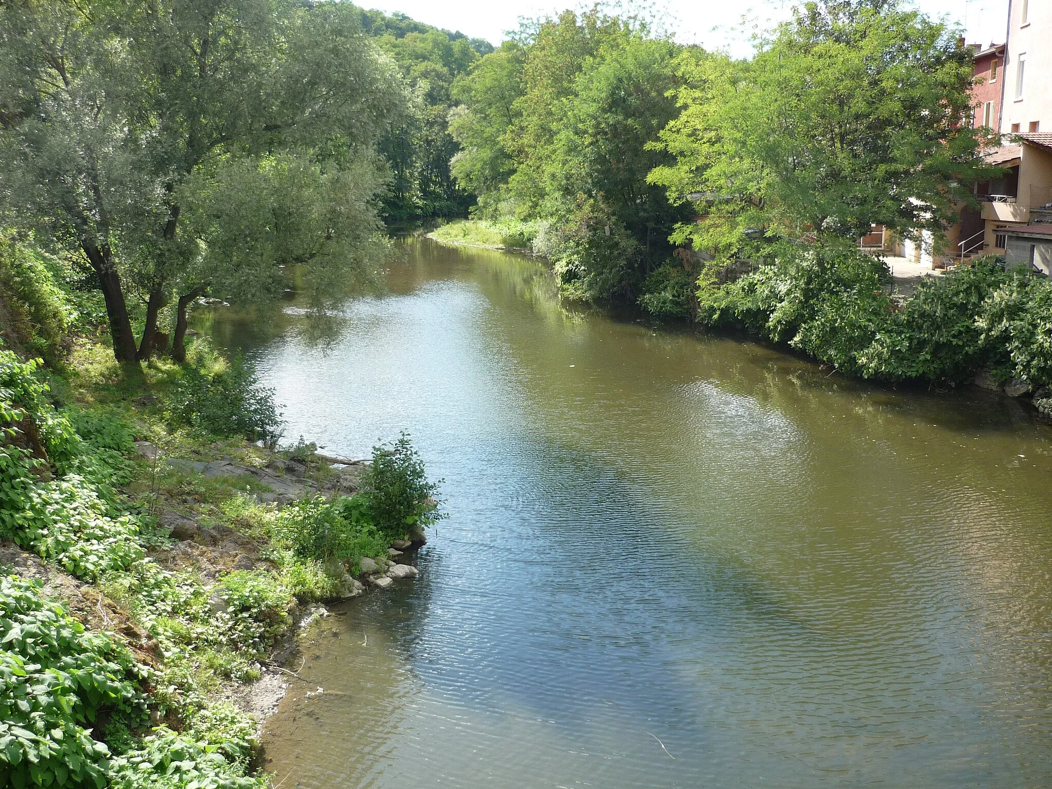
Le Bois-d'Oingt is a picturesque locality nestled in Rhône-Alpes, France. From a cyclist's perspective, Le Bois-D'Oingt offers scenic country roads, winding through the vineyards and farms of the Beaujolais region. The area is also known for its charming stone houses and medieval village center, providing a charming backdrop for cyclists. Nearby, you'll find Mount Brouilly, a famous climb loved by many cyclists, offering challenging gradients and magnificent views from the top. Le Bois-D'Oingt is a fantastic destination for road cyclists looking to combine their passion for cycling with wine tasting and cultural exploration.
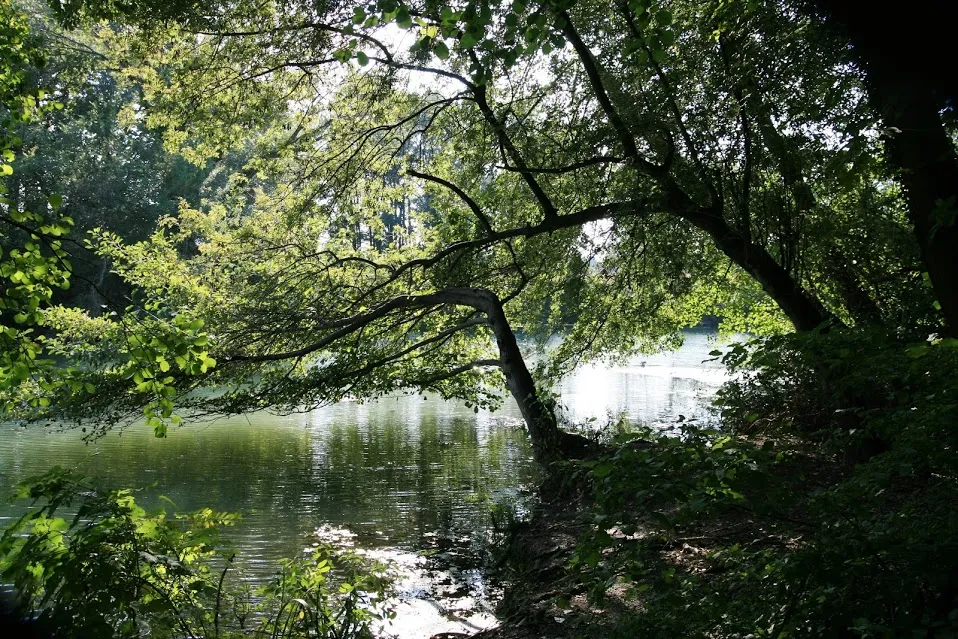
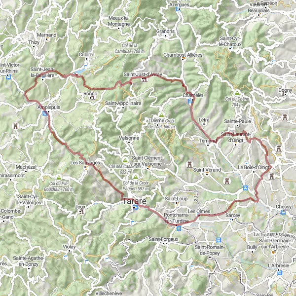
Traverse the picturesque Oingt Valley and enjoy stunning views along the way
The Oingt Valley Loop is a scenic route that showcases the natural beauty of the region. With a total distance of 99 kilometers and an ascent of 1,846 meters, this route is suitable for well-trained amateur cyclists. The gravel roads provide a challenging and adventurous cycling experience. The epicness rating of this route is 4 out of 5, as it takes you through breathtaking landscapes and highlights of the area.
Discover the scenic countryside near Le Bois-d'Oingt
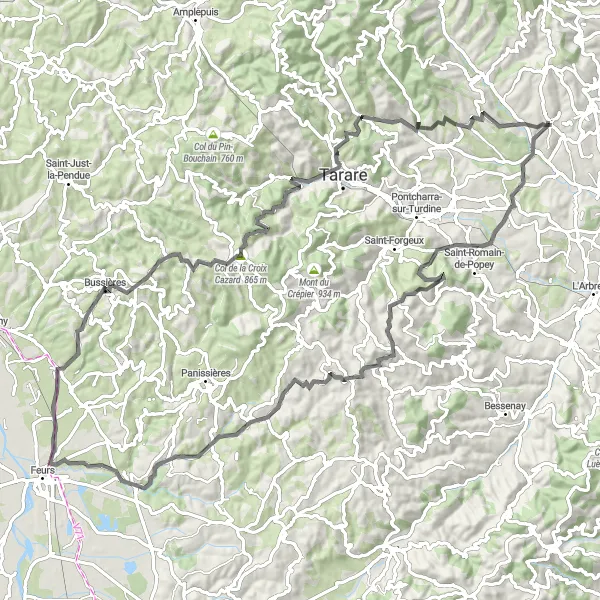
Embark on a scenic road cycling adventure starting from Le Bois-d'Oingt and immerse yourself in the beauty of the region. This 73 km route offers a challenging ascent of 1400m, taking you through picturesque landscapes and charming villages. Enjoy the highlights along the way, including the delightful village of L'Arbresle and the fascinating Crêt Pélerat. Take a moment to soak in the scenic beauty of Saint-Forgeux and enjoy the panoramic views from the stunning vantage point at Légny. Don't miss the breathtaking views of Le Bois d'Oingt and Val d'Oingt.
The Gravel Adventure
Embark on a gravel adventure through picturesque villages and ancient quarries
The Gravel Adventure is a 76-kilometer long route that takes you through the region's charming villages and ancient quarries. With an ascent of 1,795 meters, this route is suitable for experienced cyclists looking for a challenging gravel ride. The difficulty level is rated 4 out of 5, making it a demanding route. The epicness rating is 3 out of 5, as it offers unique landscapes and cultural highlights.
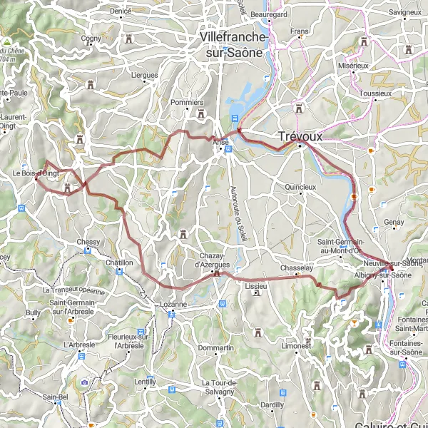
Le Bois-d'Oingt Gravel Adventure
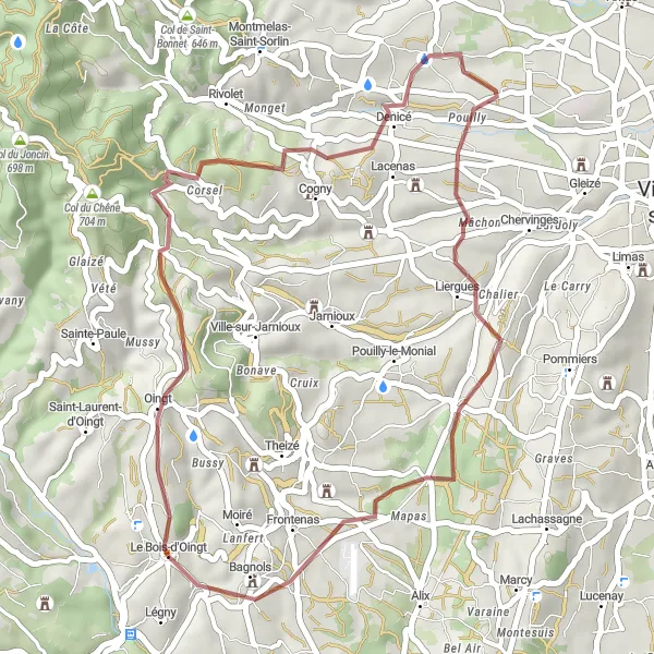
Explore the gravel roads near Le Bois-d'Oingt
Embark on a thrilling gravel adventure near Le Bois-d'Oingt and experience the scenic beauty of the Rhône-Alpes region. This 36 km route offers a challenging ascent of 773m, taking you through picturesque landscapes and charming villages. Enjoy the highlights along the way, including the historic Château de Talancé and the fascinating rock formations of Les Carrières.
The Val d'Oingt Scenic Ride
Experience the stunning views of Val d'Oingt as you ride through this scenic route
The Val d'Oingt Scenic Ride is an 80-kilometer long road route that showcases the beauty of Val d'Oingt. With a total ascent of 1,037 meters, this route is suitable for intermediate cyclists. The difficulty rating is 2 out of 5, offering a relatively gentle ride. The epicness rating is 3 out of 5, as it provides scenic views and cultural highlights.
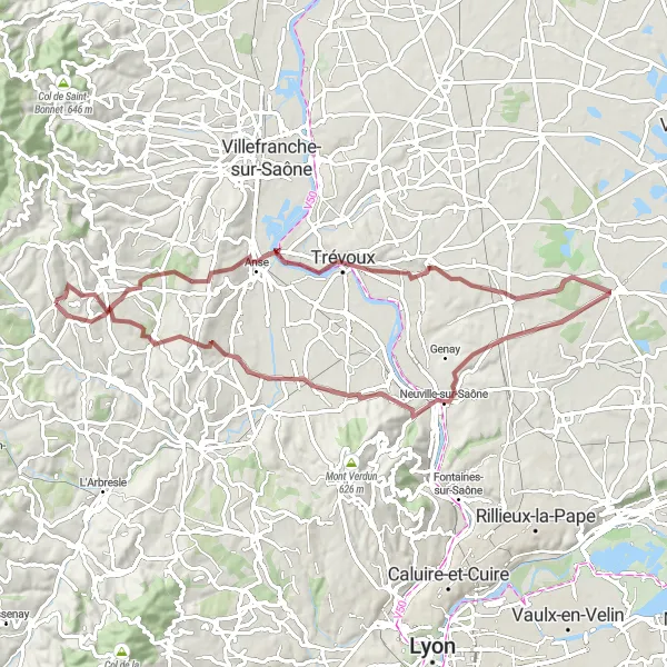
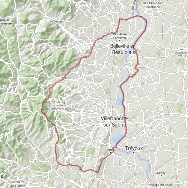
A scenic gravel tour with a historic twist
Embark on a scenic gravel tour starting from Le Bois-d'Oingt and ending in Reyrieux. This 70 km route offers a challenging ascent of 896m through picturesque landscapes and charming villages. Enjoy the highlights along the way, including the historic Château de Saint-Bernard and the majestic Château d'Ombreval. Discover the beauty of Morancé and take a moment to admire its charming streets and impressive architecture.
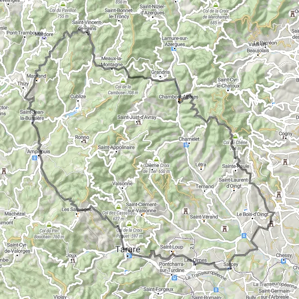
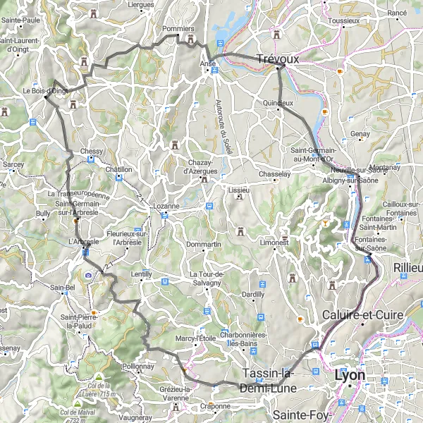
A challenging road cycling route with scenic landscapes
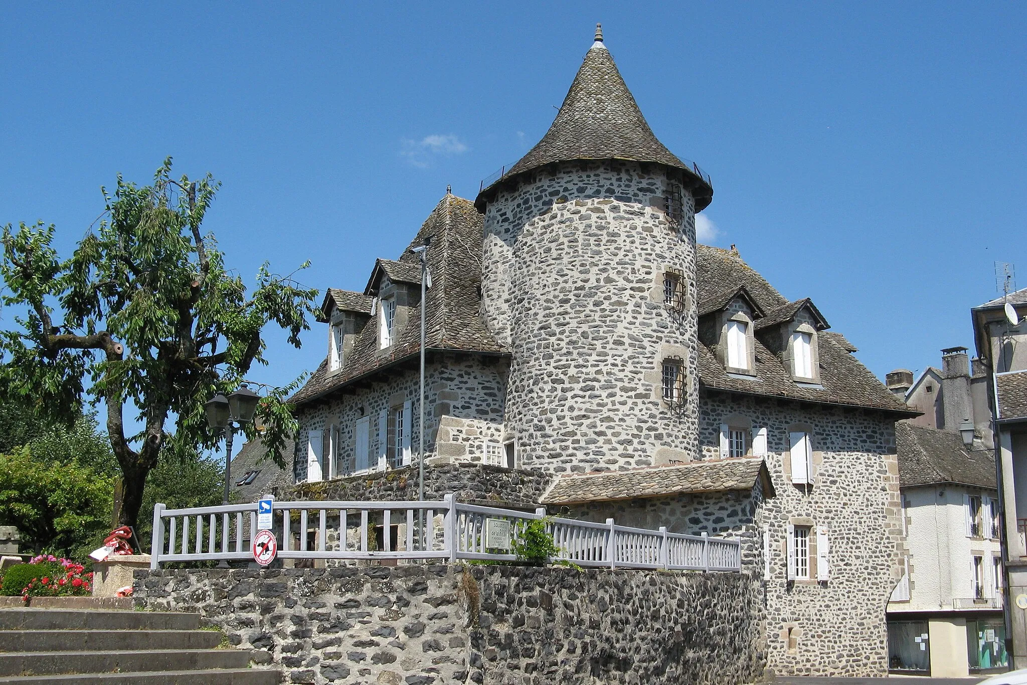
Embark on a challenging road cycling adventure starting from Le Bois-d'Oingt and take on the beautiful landscapes of the region. This 91 km route offers a formidable ascent of 1939m, taking you through picturesque villages and scenic countryside. Enjoy the highlights along the way, including the historic village of Sarcey and the breathtaking Col de la Cambuse. Conquer the challenging Col du Joncin and be rewarded with stunning views from the top. Don't miss the picturesque village of Oingt, known for its well-preserved medieval architecture.
The Countryside Escape
Escape to the peaceful countryside and immerse yourself in nature's beauty
The Countryside Escape is a 92-kilometer long gravel route that takes you through the peaceful countryside and scenic landscapes. This route has an ascent of 1,344 meters and is suitable for intermediate cyclists. The difficulty rating is 3 out of 5, offering a moderate challenge. With an epicness rating of 3 out of 5, this route allows you to experience the tranquility of the countryside.
Uncover the beauty of Le Bois-d'Oingt
Embark on another thrilling gravel adventure starting from Le Bois-d'Oingt and experience the beauty of the region. This 57 km route offers a challenging ascent of 905m, taking you through picturesque landscapes and charming villages. Enjoy the highlights along the way, including the historic Château de Saint-Bernard and the scenic viewpoints of Moiré. Don't miss the stunning panoramic views of Le Bois d'Oingt and Val d'Oingt.
The Val d'Oingt Loop
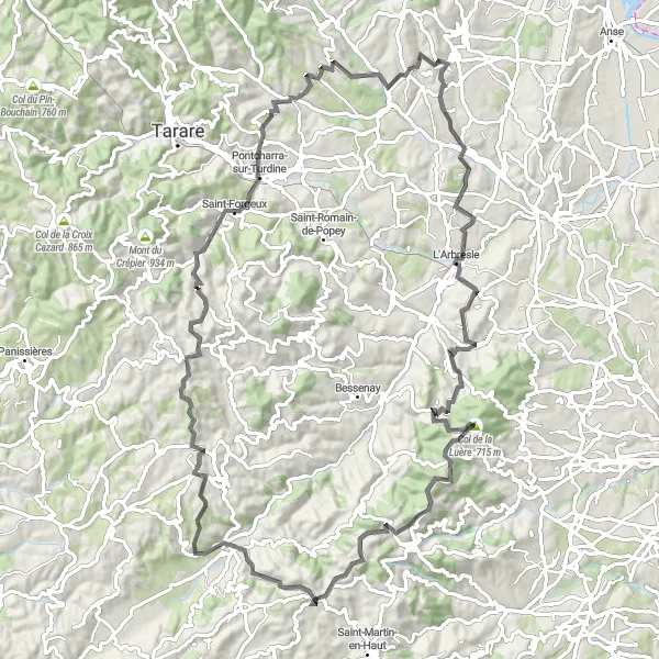
Discover the stunning countryside and charming villages along this challenging road cycling route near Le Bois-d'Oingt.
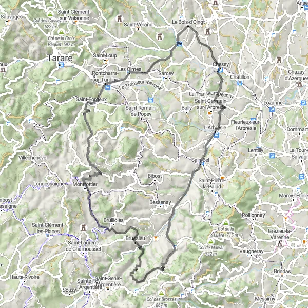
Experience the beauty of the Rhône-Alpes region on this scenic cycling loop, which takes you through picturesque villages and offers breathtaking views. With a total distance of 96 km and an ascent of 2020 m, this route is suitable for well-trained amateur cyclists. The Val d'Oingt Loop combines challenging climbs, exhilarating descents, and peaceful stretches through vineyards and rolling hills. Throughout the ride, highlights include the quaint villages of Moiré, Les Carrières, L'Arbresle, Chevinay, and Souzy. The route also features two notable mountain passes, Col de Malval and Col des Brosses, offering panoramic views and a demanding challenge for cyclists. Additionally, cyclists will be rewarded with a breathtaking vista of Le Bois-d'Oingt and Val d'Oingt towards the end of the route. The Val d'Oingt Loop provides an unforgettable cycling experience for riders looking to immerse themselves in the natural beauty of the Rhône-Alpes region.
Cycling routes nearby:

Nearby regions: