Idyllic Cycling in Rhône-Alpes Countryside
Cycling routes from Le Teil
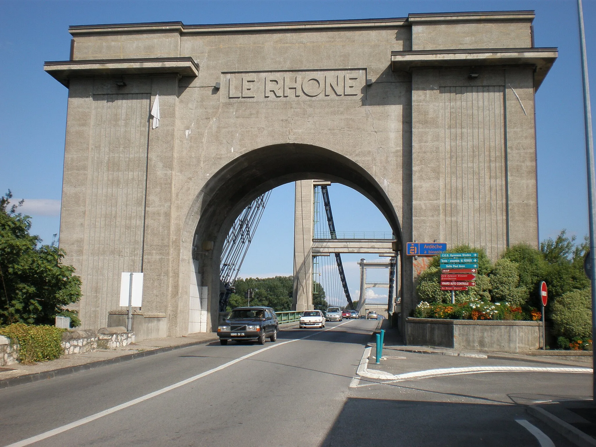
Le Teil, located in the Rhône-Alpes region of France, provides cyclists with a stunning natural setting for their adventures. The region boasts beautiful countryside landscapes, with rolling hills and vineyards as far as the eye can see. Le Teil is also a starting point for the famous Mont Gerbier de Jonc climb, known for its breathtaking views and challenging switchbacks. From road cyclists to gravel enthusiasts, Le Teil offers routes to suit all preferences. With its natural beauty and legendary climbs, Le Teil is a cycling paradise.
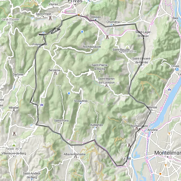
Embark on a scenic road route through charming villages and picturesque landscapes
This road route near Le Teil showcases the beauty of the region's charming villages and picturesque landscapes. From Saint-Jean-le-Centenier, surrounded by stunning natural scenery, you'll pass through Freyssenet and admire its peaceful ambiance. The route takes you to Col du Benas, offering splendid views over the surrounding mountains. Chomérac, another highlight along the way, is a traditional village lined with charming houses and picturesque squares. As you continue, you'll reach Meysse, known for its beautiful vineyards and lovely countryside. The route ends in Le Teil, where you can relax and explore its delightful surroundings.
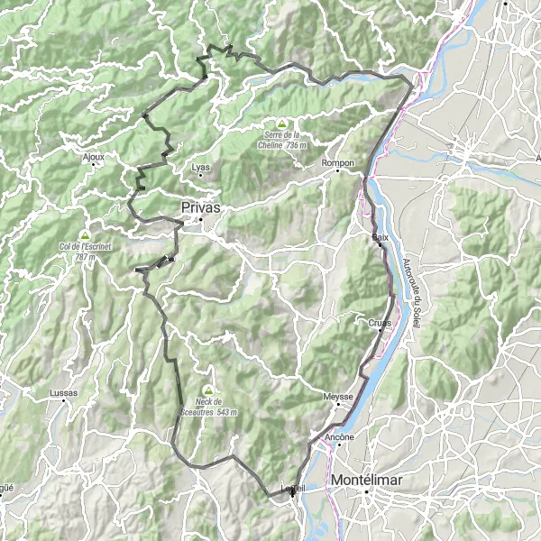
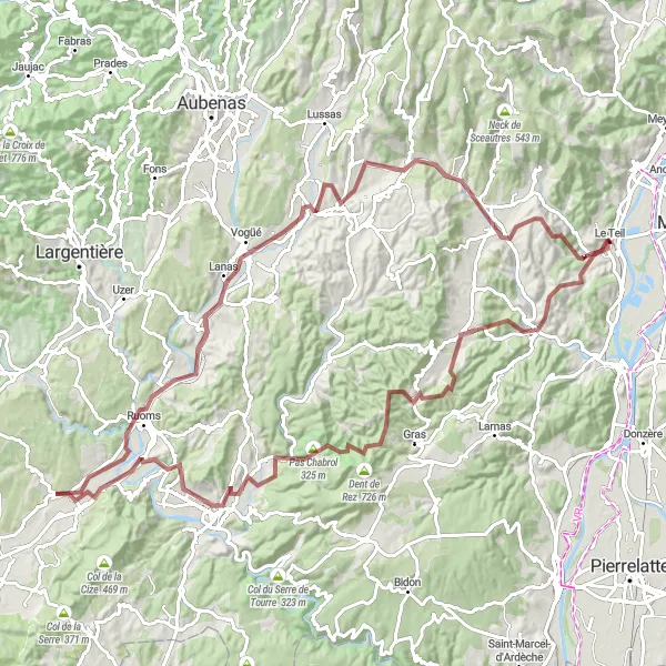
A journey through ancient history and breathtaking landscapes
Embark on a captivating cycling adventure through Rhône-Alpes, exploring the region's rich history and stunning natural beauty. The Gallo-Roman Road route takes you on a 126-kilometer round-trip journey, with a total ascent of 2,242 meters. This challenging ride is perfect for well-trained amateurs looking for an epic cycling experience.
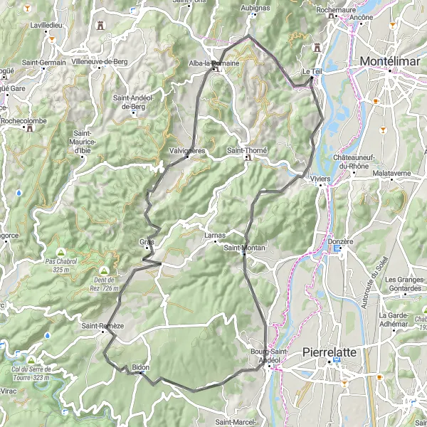
Embark on a scenic road route through picturesque villages and stunning natural landscapes
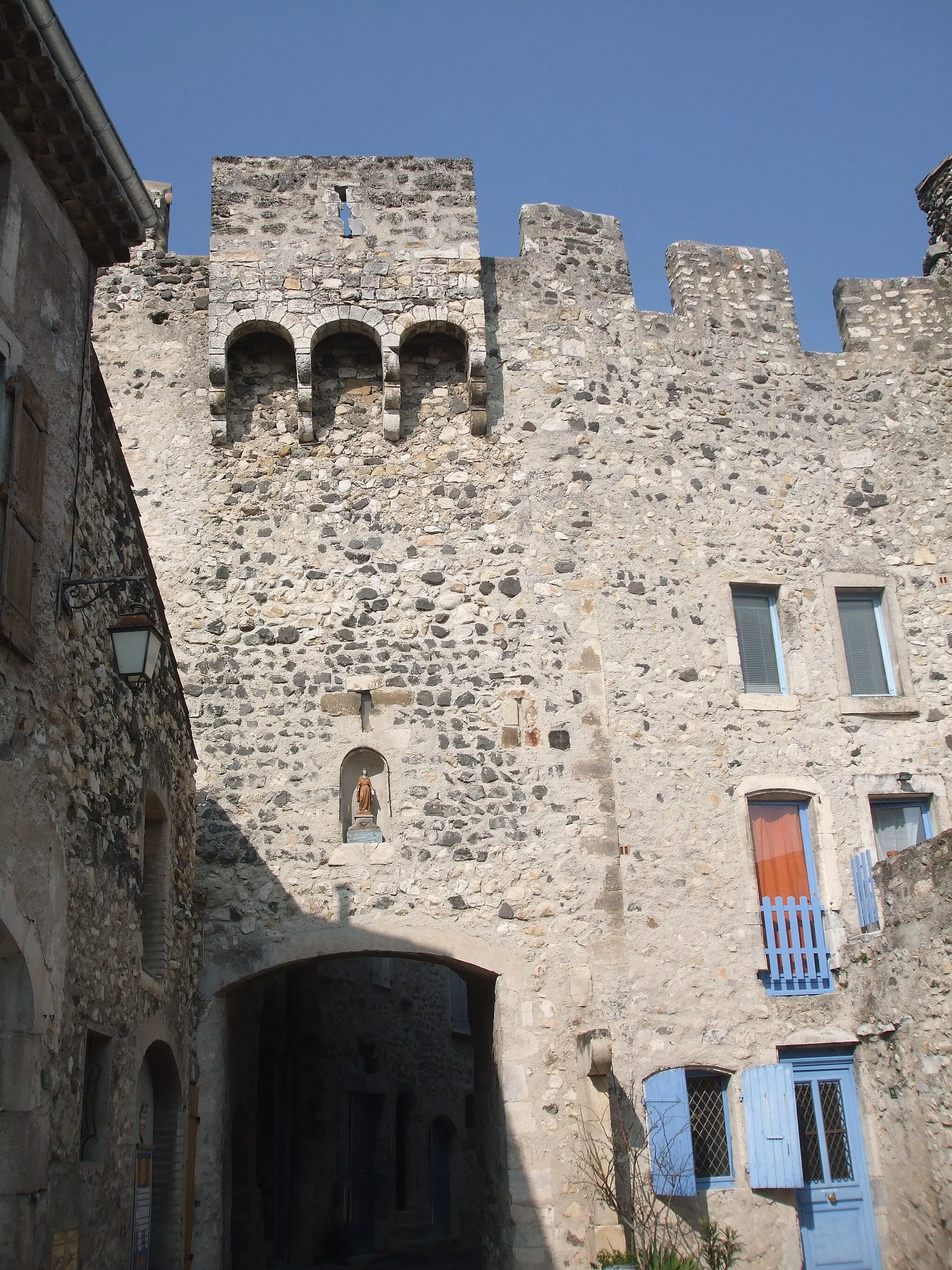
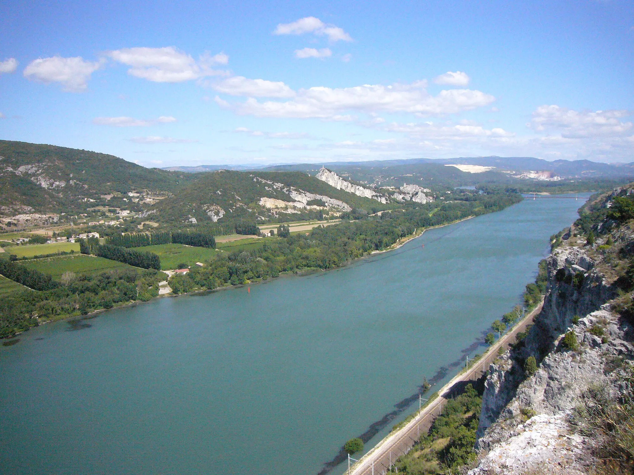
This road route starting near Le Teil takes you through some of the region's most picturesque villages and beautiful natural landscapes. From Saint-Montan, with its stunning hilltop views over the Rhône River, you'll continue through Vallon de Tourne, a verdant valley offering peaceful surroundings. Bidon, a small village known for its charming streets and traditional architecture, is another highlight along the way. The route takes you through Gras, with its typical stone houses and narrow streets, before reaching the final destination of Alba-la-Romaine. Here, you can explore the village's rich history and admire its well-preserved Roman ruins.
Montélimar Loop
Embark on a scenic loop from Le Teil and explore the vibrant town of Montélimar.
Covering 68 kilometers, this road route offers a moderate challenge with some rolling hills and flat sections. Discover the cultural richness and architectural beauty of Montélimar and its surrounds.
Meysse and Montélimar Adventure
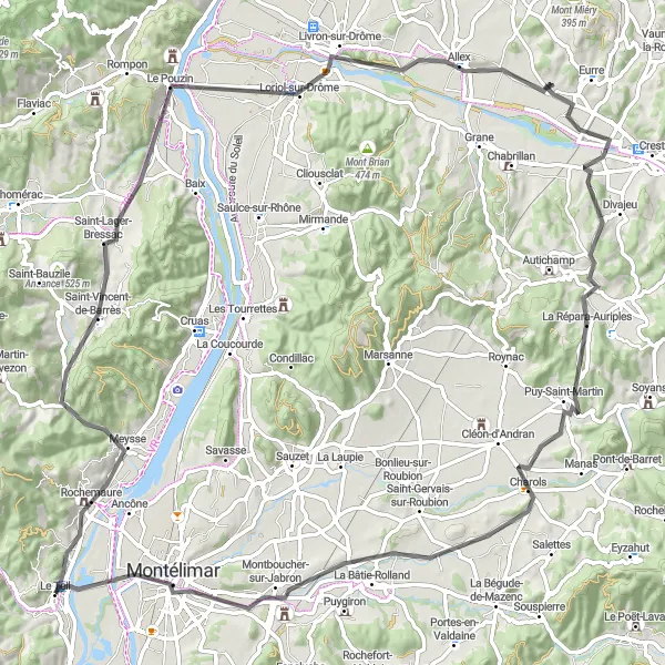
Embark on a cycling adventure through Meysse and Montélimar, two hidden gems of the Rhône-Alpes region.
Covering 98 kilometers, this road route offers a moderate challenge with some steep climbs. Experience the vibrant towns and breathtaking landscapes along the way.

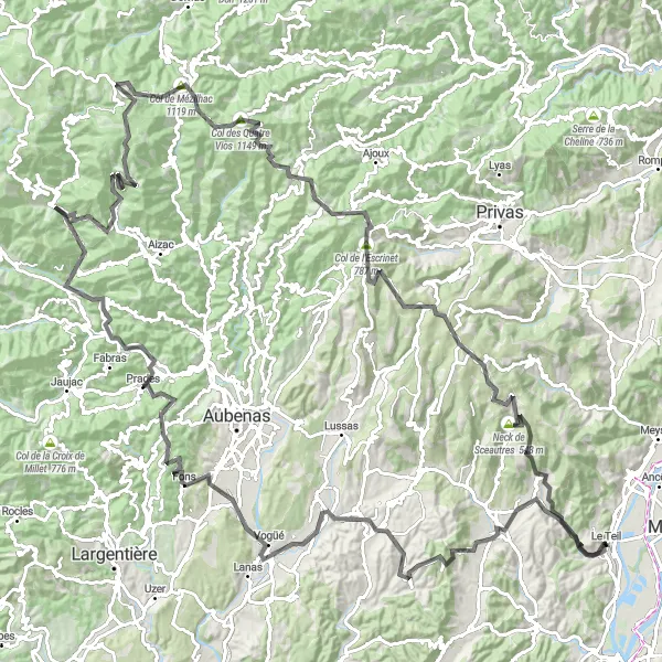
Embark on a challenging road route through mountainous terrain and reach the summit of Col de l'Escrinet
This challenging road route near Le Teil is perfect for experienced cyclists seeking a thrilling adventure. The route takes you through Saint-Jean-le-Centenier, a charming village nestled amidst picturesque landscapes. As you continue, you'll reach Darbres, offering panoramic views over the surrounding mountains. The ascent to Col de l'Escrinet, with its steep and winding roads, is a true test of your cycling skills. From the summit, you'll be rewarded with breathtaking panoramic views. The route also includes a visit to Gluiras, a small village renowned for its traditional architecture and peaceful atmosphere.
Take on the challenging Valgorge loop, an epic cycling adventure in the heart of Rhône-Alpes.
Covering a distance of 162 kilometers, this road route is recommended for experienced cyclists due to its demanding climbs and steep descents. Enjoy the breathtaking mountain landscapes and discover hidden villages along the way.
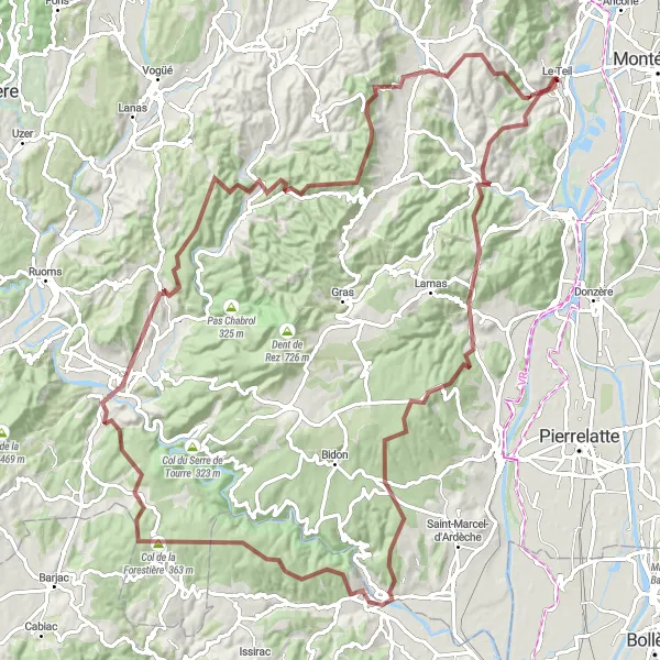
Embark on an adventurous gravel route through charming villages and stunning natural landscapes
This gravel route near Le Teil offers a thrilling adventure through charming villages and breathtaking natural landscapes. From Saint-Montan, situated on a hilltop overlooking the Rhône River, you'll continue to Aiguèze, a medieval village perched on a cliff and offering panoramic views over the Ardèche Gorges. The route then takes you to Col de la Forestière, a challenging climb that rewards you with magnificent views. Vallon-Pont-d'Arc is another highlight along the way, famous for its natural beauty and the iconic Pont d'Arc rock formation. This route showcases the diversity of the region's landscapes and offers an unforgettable cycling experience.

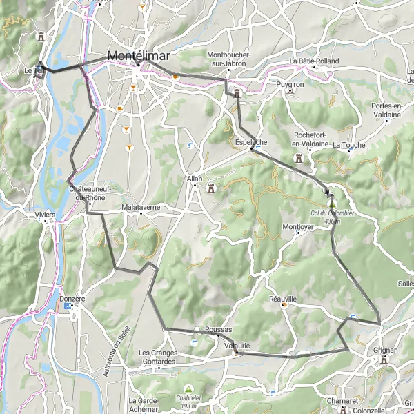
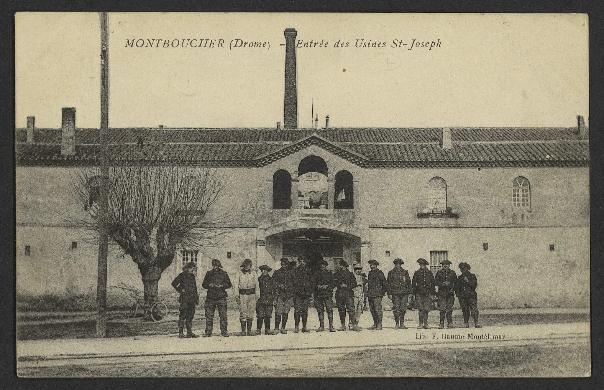
Discover the charming towns of Montboucher-sur-Jabron and Rochefort-en-Valdaine on this scenic cycling loop.
This 67-kilometer route takes you through picturesque countryside and offers moderate ascents. Get ready to admire the stunning views and explore historical landmarks along the way.
Embark on an exhilarating gravel adventure to Valvignères, a hidden gem in Rhône-Alpes.
This 111-kilometer gravel route offers stunning natural landscapes and challenging ascents. Immerse yourself in the rugged beauty of the region and explore picturesque villages.
Cycling routes nearby:

Nearby regions: