Cycle through idyllic French landscapes and conquer famous climbs.
Cycling routes from Montanay
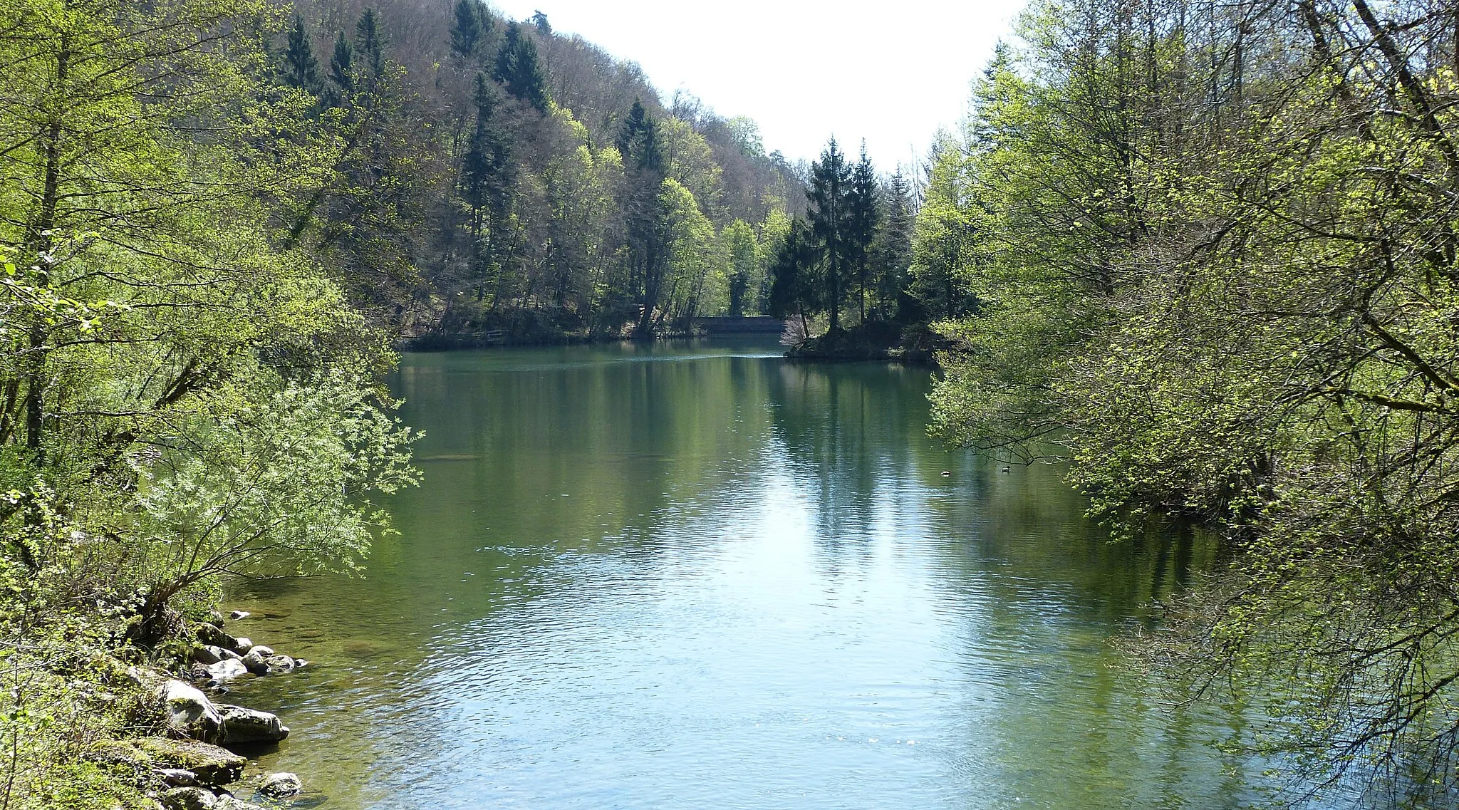
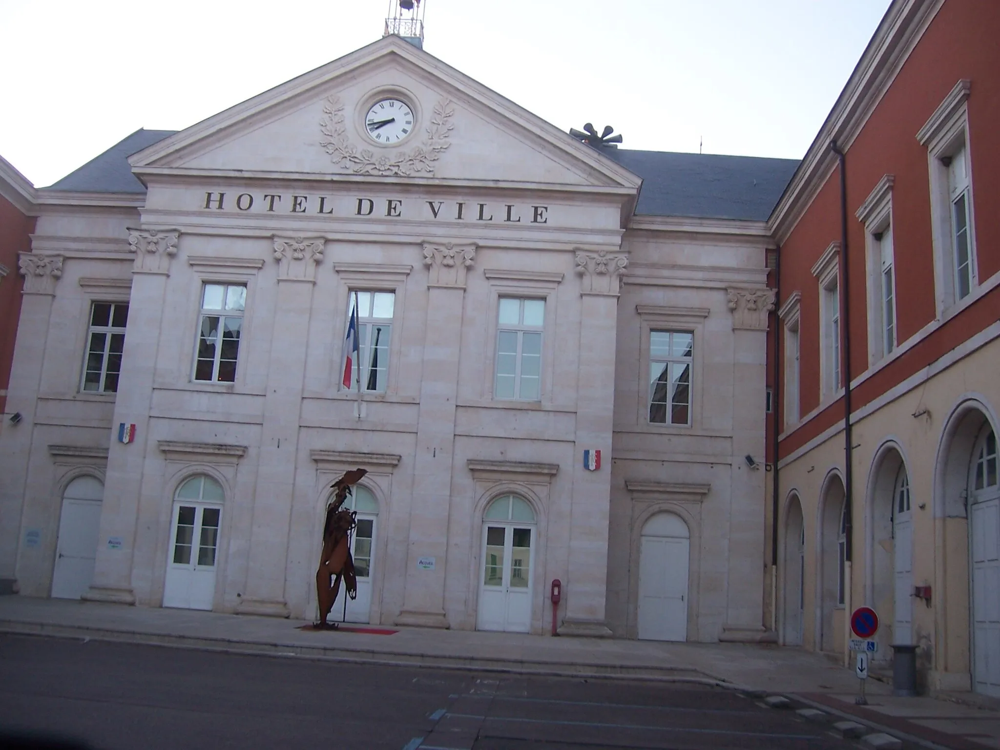
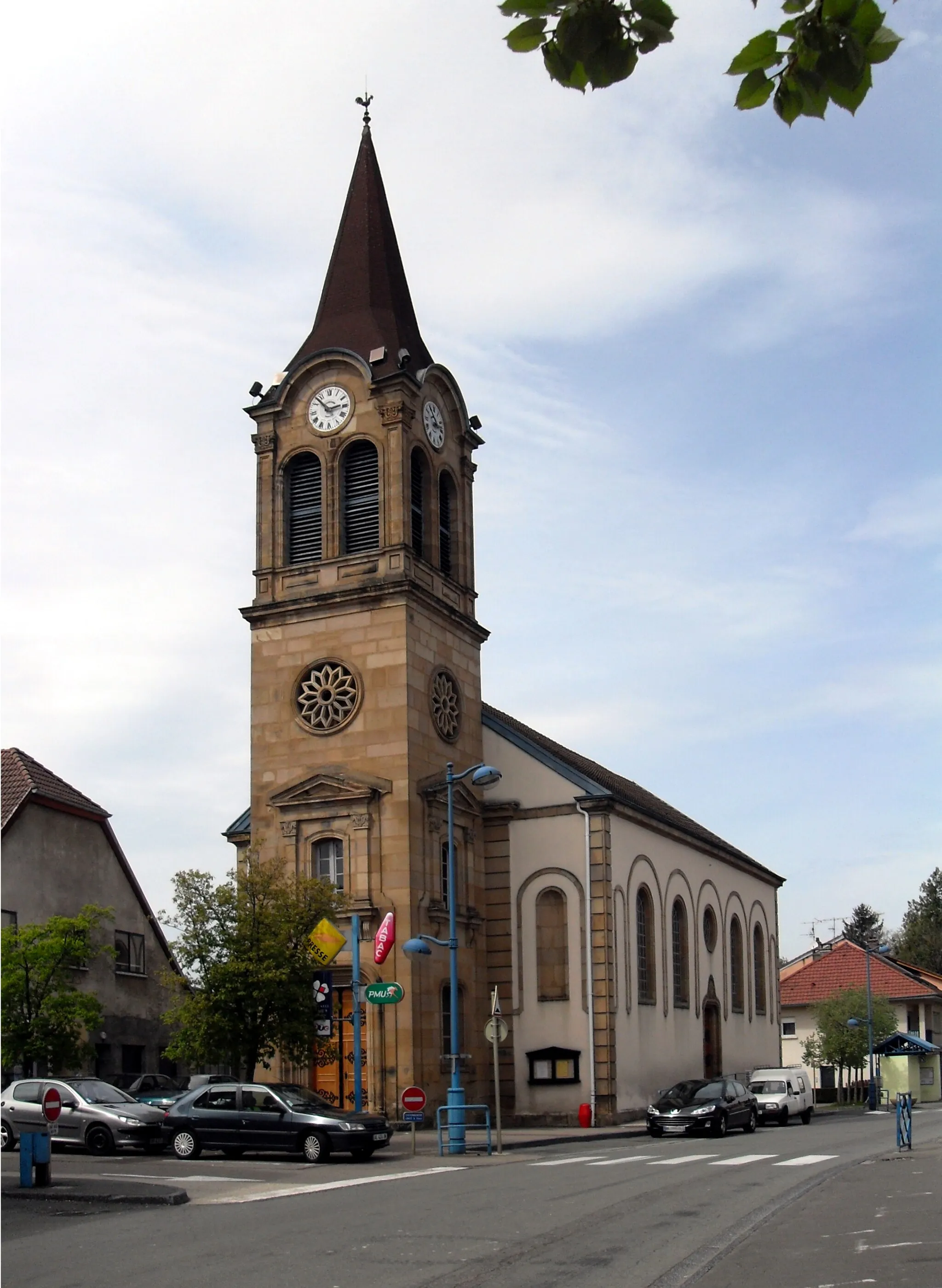
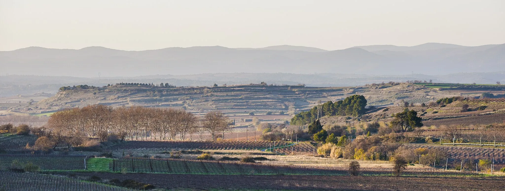
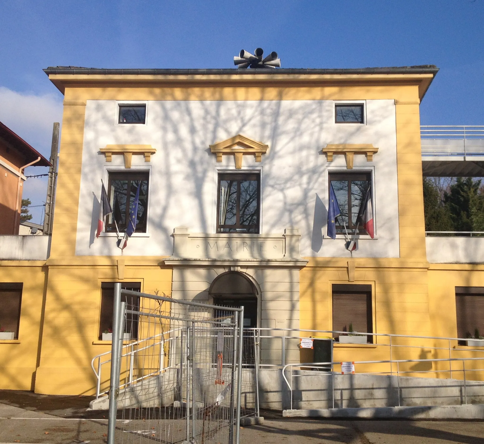
Montanay, a small town in the Rhône-Alpes region of France, offers a delightful experience for road and gravel cyclists. Nestled in rolling hills and surrounded by vineyards, Montanay provides a charming cycling environment. Cyclists can enjoy the smooth roads that connect the beautiful countryside and visit nearby towns and villages known for their historical heritage and picturesque architecture. The region also offers several well-known cycling climbs, such as Mont Verdun and Mont Thou. With its idyllic scenery and varied cycling routes, Montanay is a hidden gem for cyclists seeking a mix of tranquility and challenging terrain.
Scenic Road Cruise
Embark on this picturesque road cycling route, cruising through stunning landscapes and charming towns.
This road cycling route starting near Montanay offers a delightful experience, taking you through beautiful towns such as Civrieux and Sainte-Olive. Covering a distance of 75 kilometers with an ascent of 284 meters, this route is suitable for average cyclists. The difficulty level is rated 2, perfect for well-trained amateur riders. The epicness of this route is rated 3 since it offers pleasant scenery and highlights picturesque landscapes.
Montanay and Surroundings
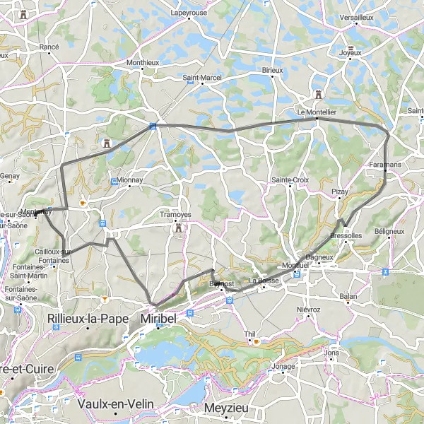
A picturesque road route showcasing the beauty of Montanay and its neighboring towns
This road cycling route starting near Montanay takes you through charming towns, providing scenic views of the countryside. With a total distance of 59 kilometers and an ascent of 349 meters, this route is suitable for well-trained amateurs. The epicness of this route is rated 3 since it offers pleasant cycling but doesn't feature any legendary climbs or famous spots.
Take on this road adventure through diverse terrains, from rural roads to challenging stretches.
This road cycling route starting near Montanay offers a mix of terrains and highlights. Covering a distance of 76 kilometers with an ascent of 417 meters, it provides versatility for cyclists seeking a variety of challenges. The difficulty level is rated 3, perfect for well-trained amateurs. The epicness of this route is rated 3 as it combines diverse landscapes with interesting sights along the way.
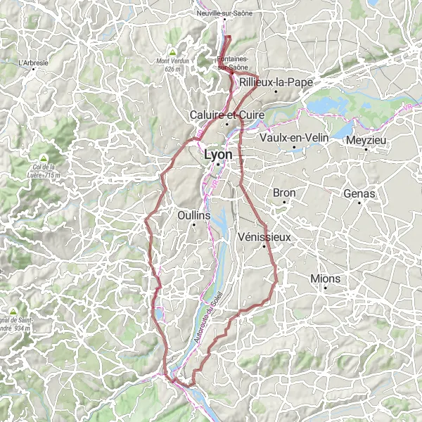
Montanay Gravel Adventure
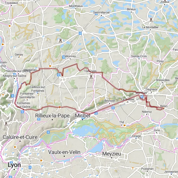
Embark on an exhilarating gravel ride through picturesque landscapes
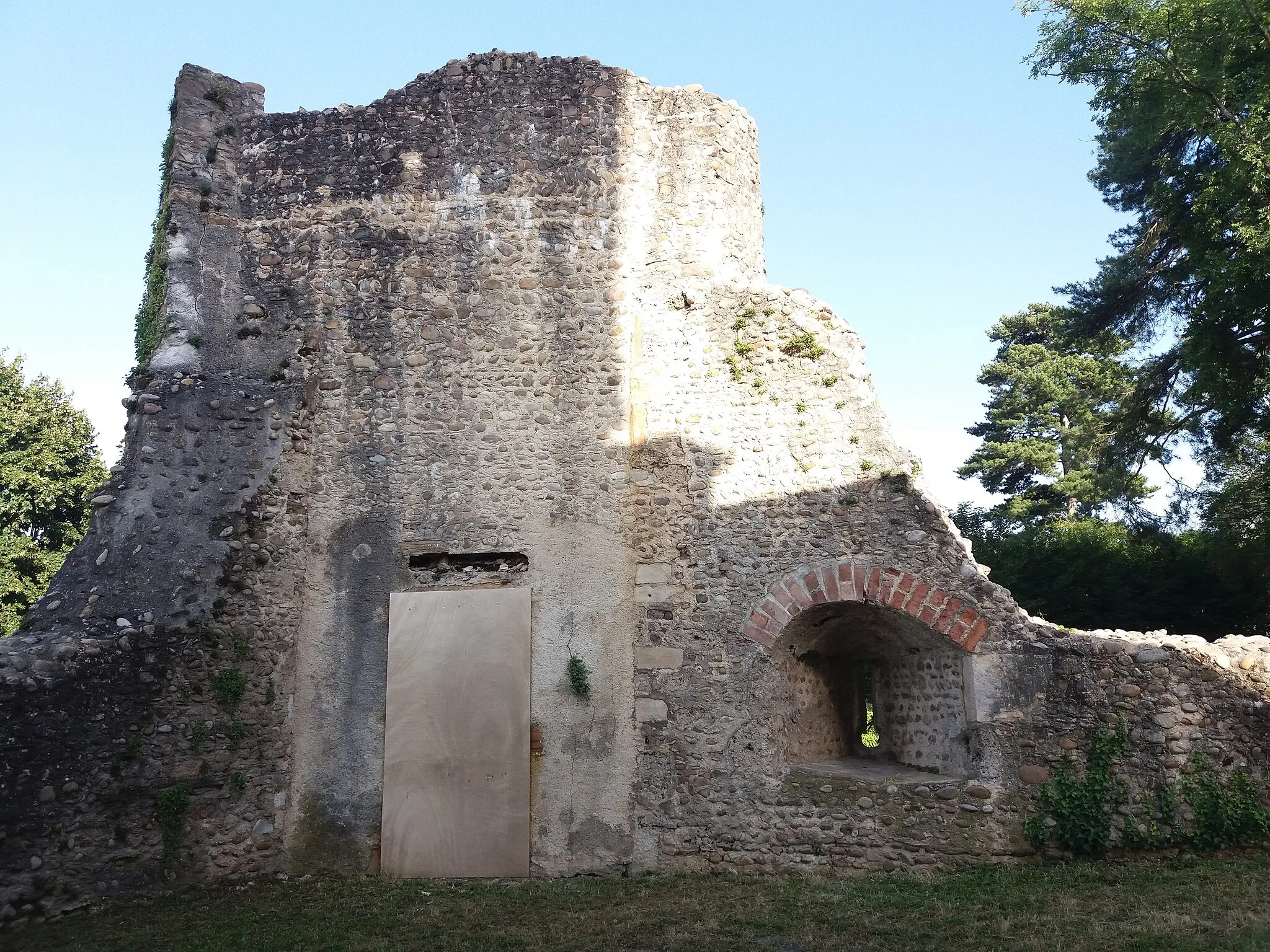
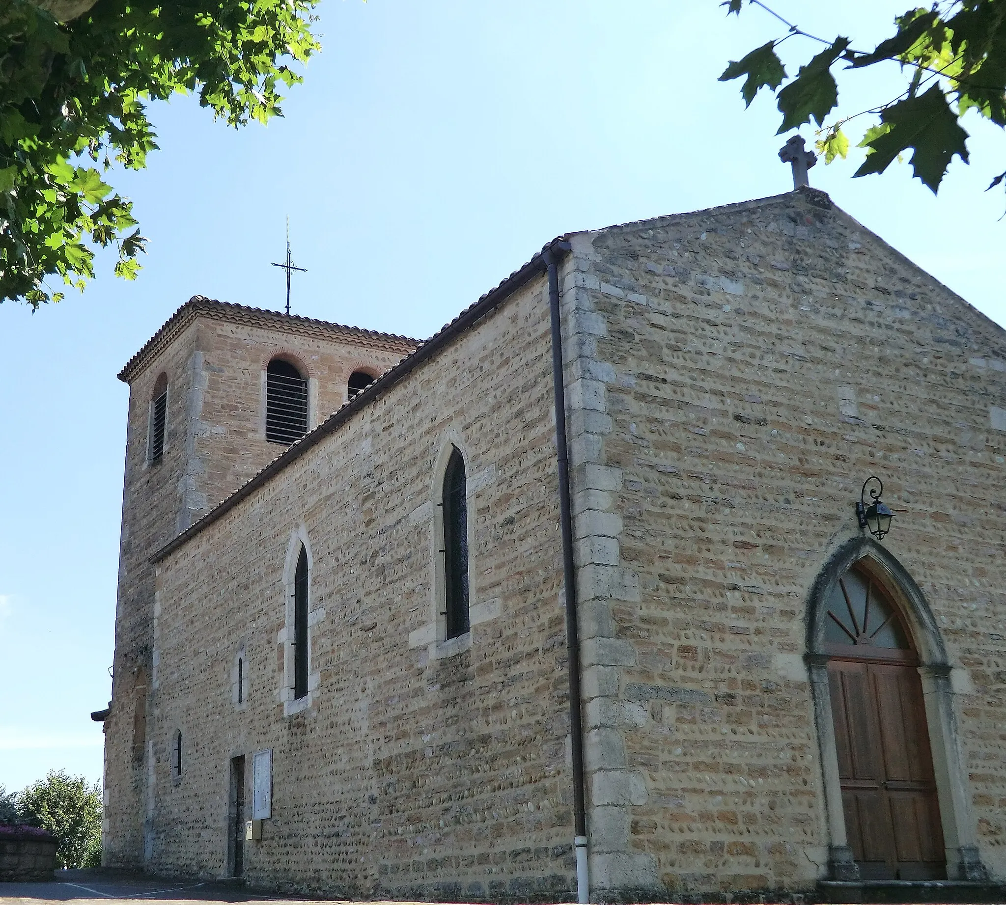
Explore the beauty of the Rhône-Alpes region on this 56-kilometer gravel biking route from Montanay. The route offers a diverse mix of terrain, including off-road paths and scenic gravel trails. As you cycle through Tramoyes, you'll be surrounded by stunning natural landscapes and enjoy breathtaking views. Make a stop at Église Saint-Étienne de Montluel, a historic church worth visiting. The overall ascent of 421 meters makes this route moderately challenging, suitable for experienced gravel cyclists. Fleurieu-sur-Saône offers a picturesque ending point, providing a peaceful and charming village atmosphere.
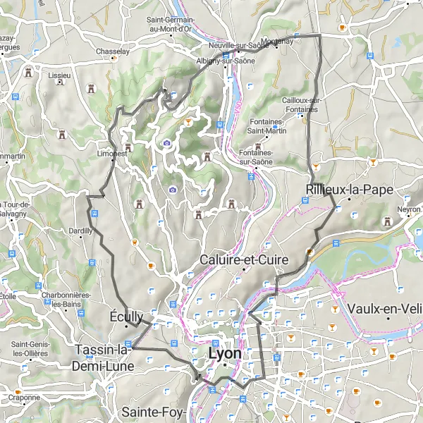
Cycle through picturesque villages and enjoy stunning views on this road biking route
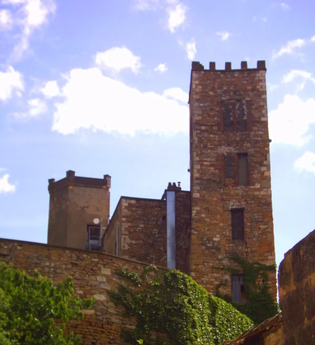
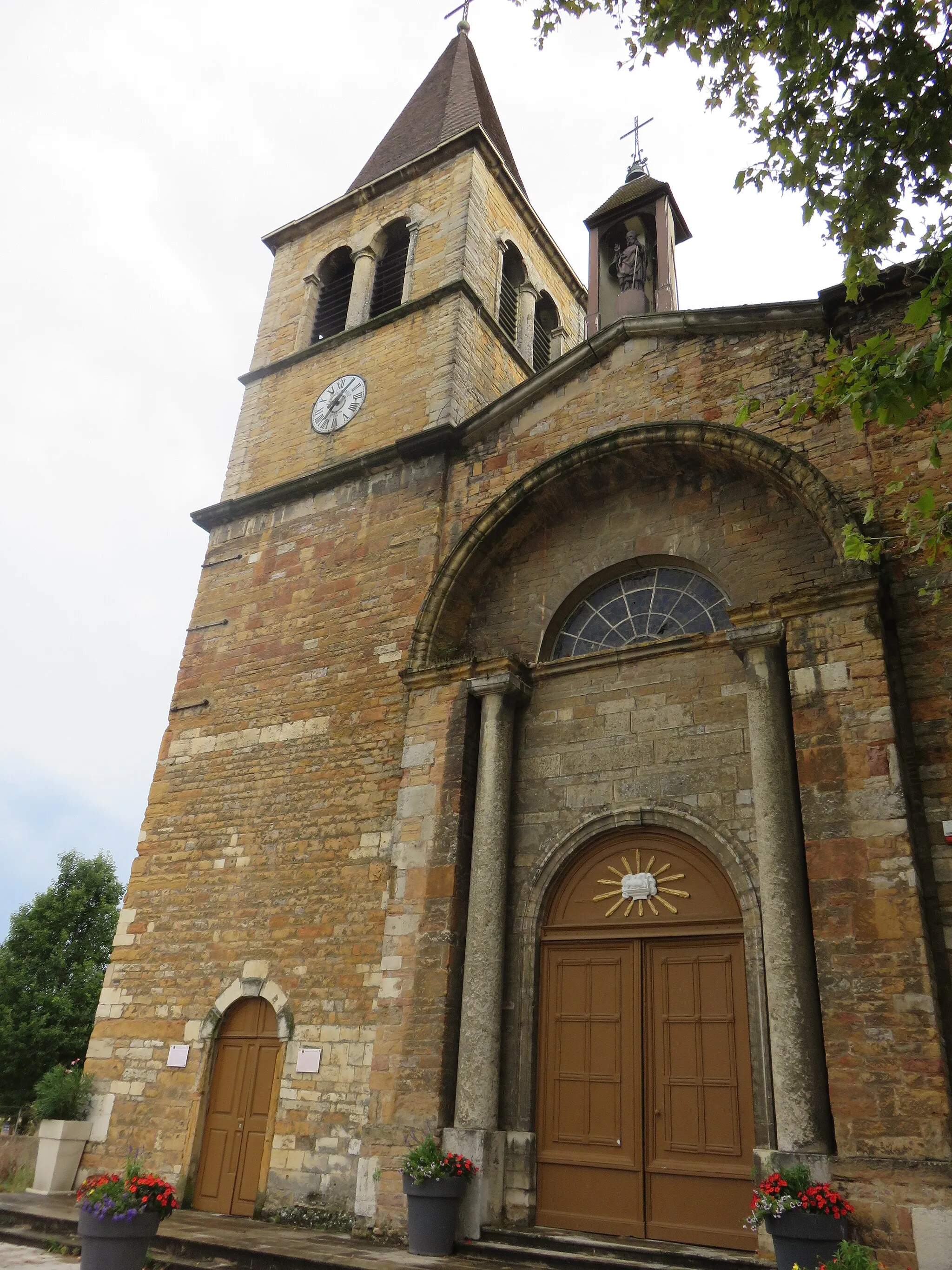
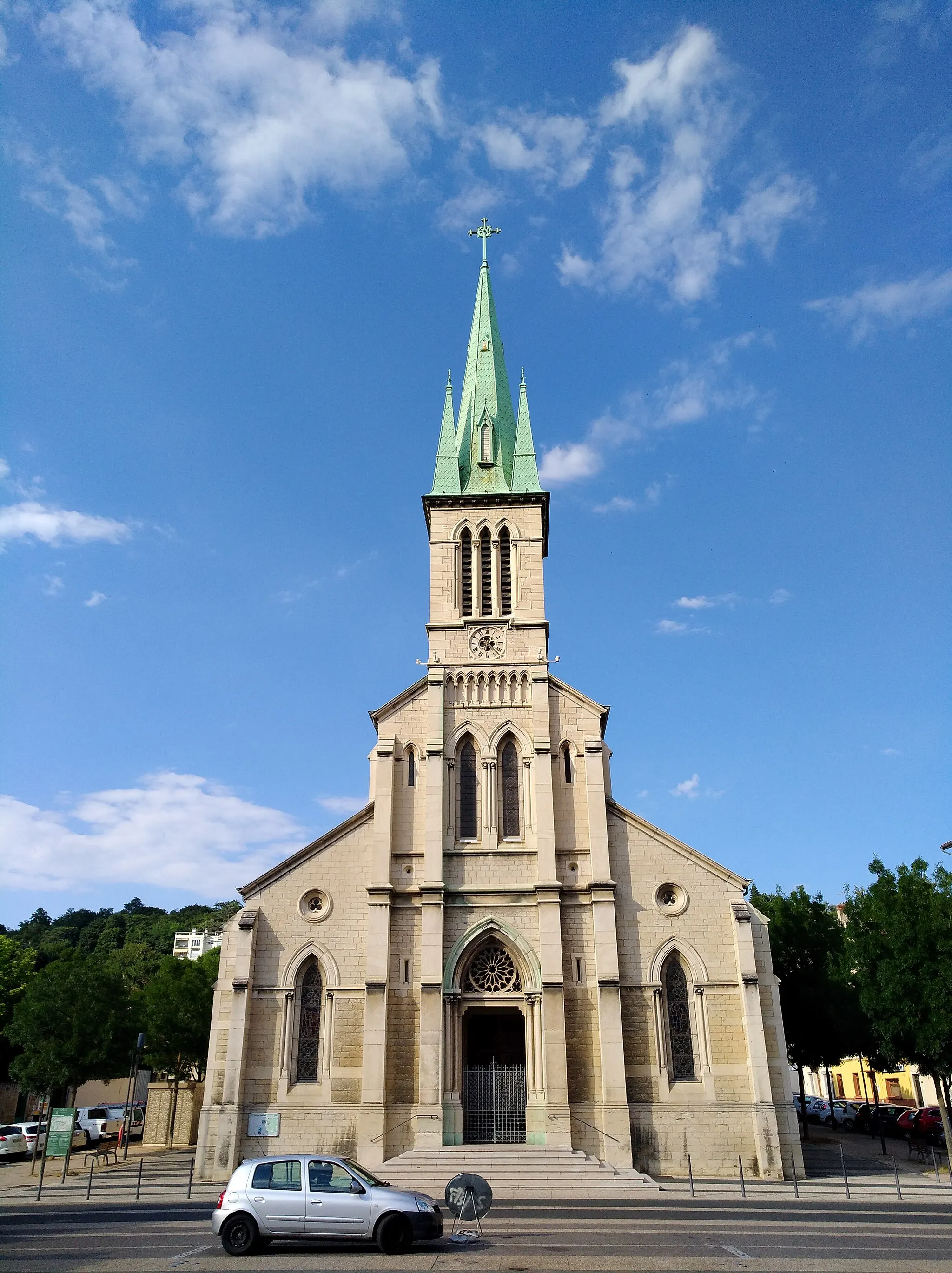
This scenic road biking route starts in Montanay and takes you through charming villages, including Sathonay-Village, where you can visit the historic Basilique funéraire Saint-Laurent de Choulans. Along the way, you'll also pass Col de Trion and Écully, both offering beautiful views. The overall route covers a distance of 52 kilometers with a total ascent of 734 meters. It is a moderately difficult ride, suitable for well-trained amateur cyclists. The route is known for its distinctive scenery and offers an enjoyable cycling experience.

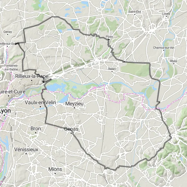
Embark on a challenging gravel adventure through rugged terrain and epic climbs
Prepare for an extraordinary and challenging gravel biking experience on this 102-kilometer route from Montanay. The route features dramatic climbs and descents, taking you through rugged terrain surrounded by stunning natural landscapes. Conquer epic climbs such as Col du Chêne and Col de la Croix Rosier and enjoy the panoramic views from their summits. Discover picturesque towns like Morancé and Moiré with their charming architecture and cultural heritage. The ascent of 1641 meters makes this route highly challenging, suitable for experienced and well-trained gravel cyclists seeking an extreme adventure and epic cycling memories.
Prepare for an epic gravel adventure with challenging terrains and breathtaking natural landscapes.
This challenging gravel cycling route starting near Montanay tests the limits of experienced gravel cyclists. With an ascent of 648 meters and a distance of 84 kilometers, this route is not for the faint-hearted. The difficulty level is rated 5, offering extreme challenges for seasoned cyclists. The epicness of this route is rated 4 due to the stunning natural landscapes and rugged terrains encountered along the way.
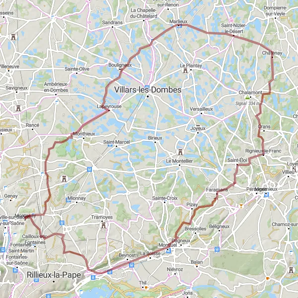
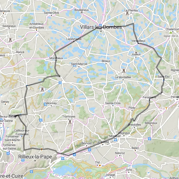
Embark on an adventurous gravel ride through diverse landscapes
Take on the challenge of this 96-kilometer gravel biking route from Montanay to Lapeyrouse. Throughout the journey, you'll pass through picturesque countryside and diverse terrains, including gravel paths and rural roads. The route features several highlights, such as the stunning panoramic views from Lapeyrouse. Pass through charming towns and villages, including Châtenay and Rignieux-le-Franc, each offering unique cultural and architectural attractions. The overall ascent of 592 meters makes this route moderately difficult, suitable for experienced gravel riders seeking an adventurous ride through beautiful surroundings.

Hop on your gravel bike for this rugged adventure showcasing the natural beauty of the region.
This gravel cycling route starting near Montanay takes you on a thrilling adventure through Mionnay and Sainte-Croix. With a total distance of 58 kilometers and an ascent of 408 meters, this route is suitable for experienced gravel cyclists. The difficulty level is rated 4 due to the rugged terrain and challenging sections. The route's epicness is rated 3 since it offers opportunities for exploration in the countryside.
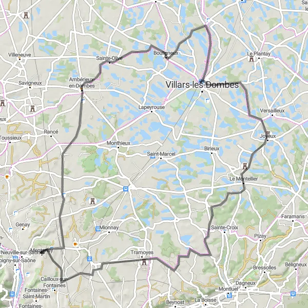
Montanay to Sainte-Croix Loop
Embark on a journey to discover historic sites and picturesque landscapes
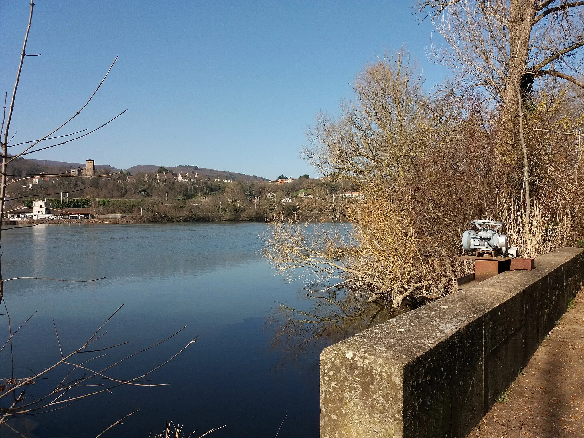
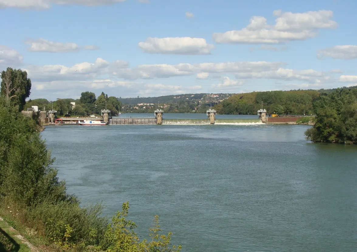
Get ready for a diverse cycling experience on this road biking route from Montanay to Sainte-Croix. Along the 114-kilometer route with an ascent of 726 meters, you'll encounter beautiful nature landscapes as well as significant cultural sites, including Montanay itself. As you pedal through charming villages like Sainte-Croix and La Valbonne, you'll have the opportunity to explore historic churches and admire the local architecture. Port-Galland provides a scenic stop with views of the river. This moderately difficult route attracts cyclists who appreciate its mix of natural beauty and cultural heritage.
Cycling routes nearby:
Nearby regions: