Cycling Paradise near Mont Ventoux
Cycling routes from Pierrelatte
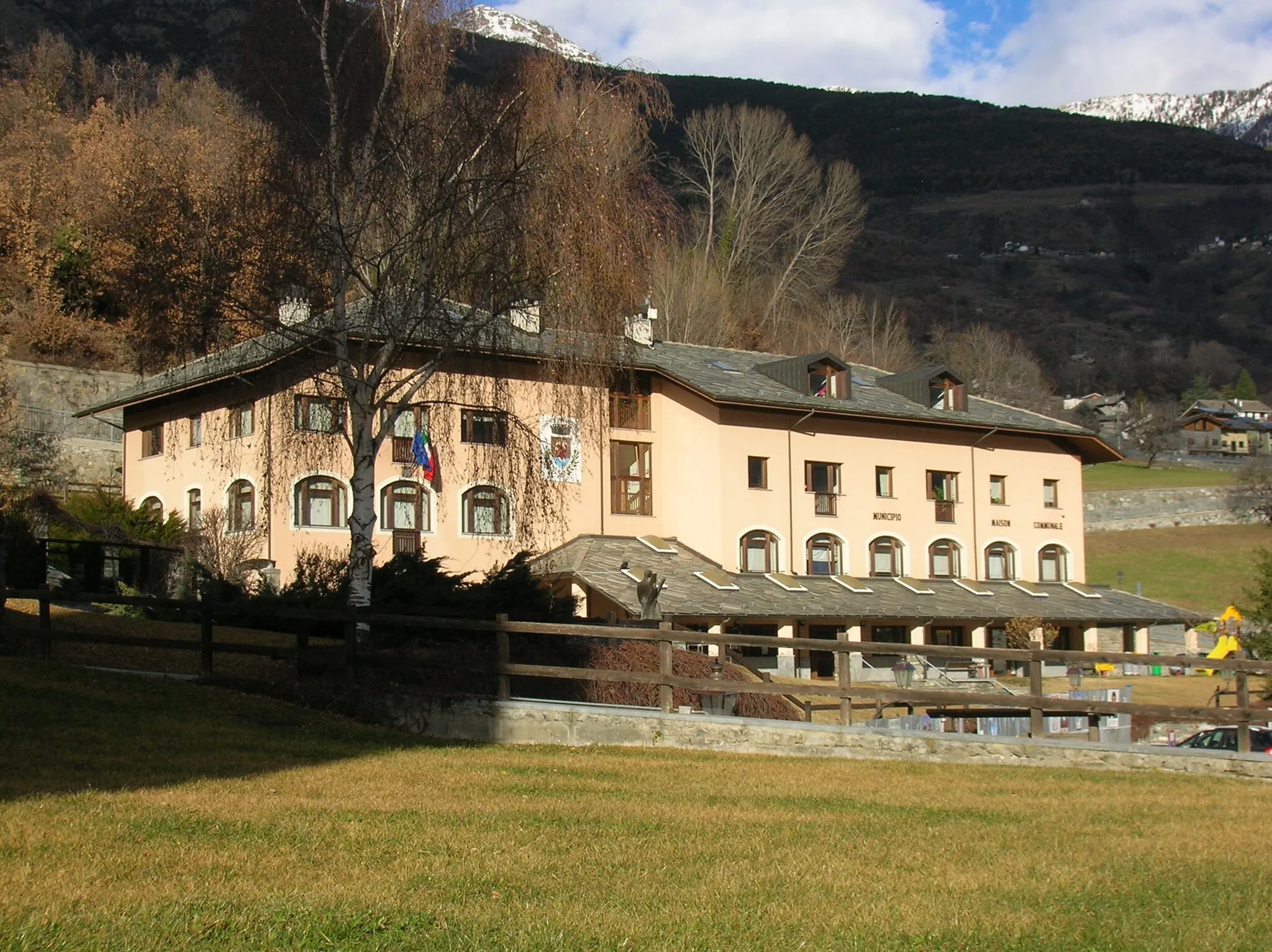
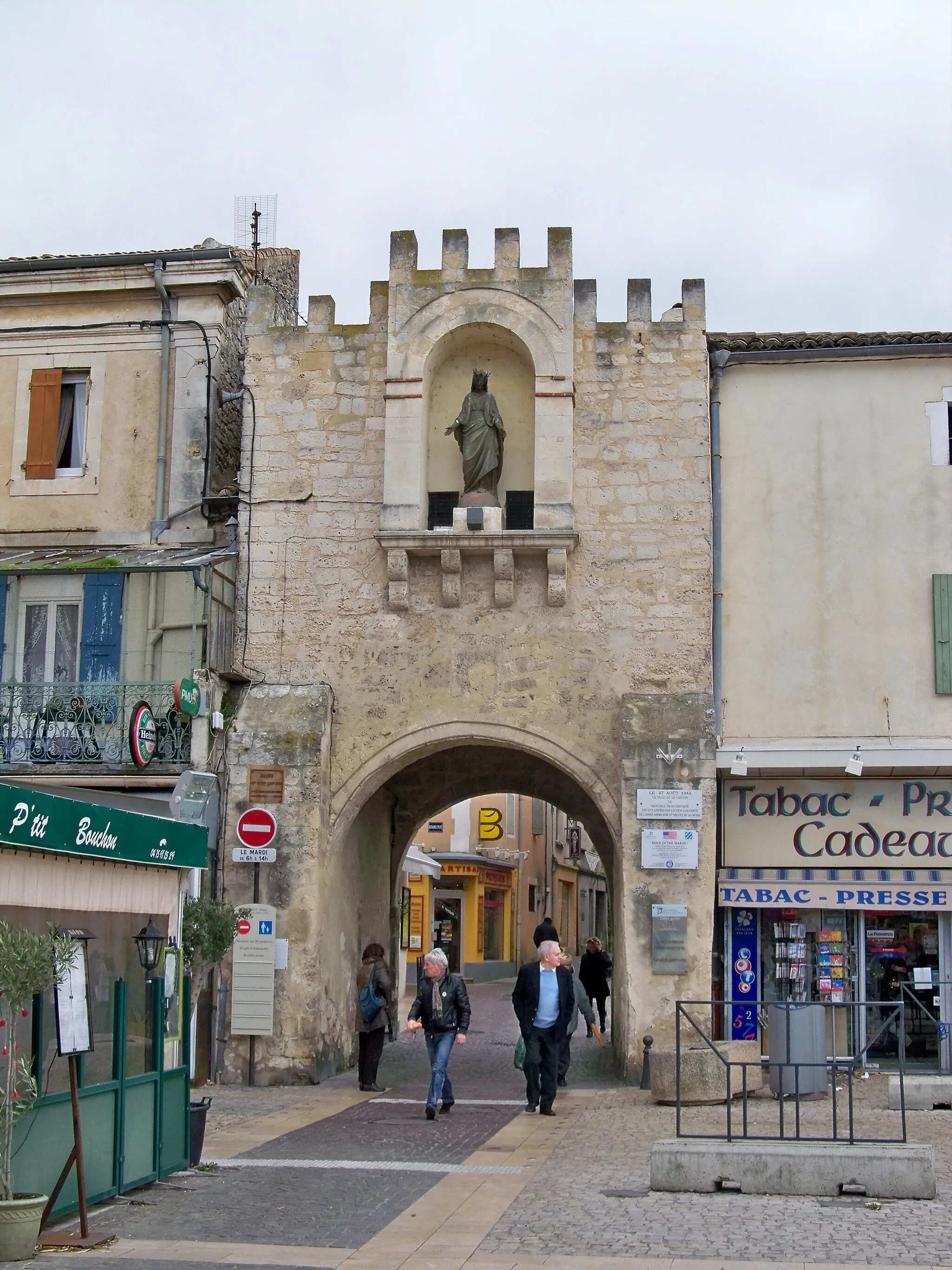
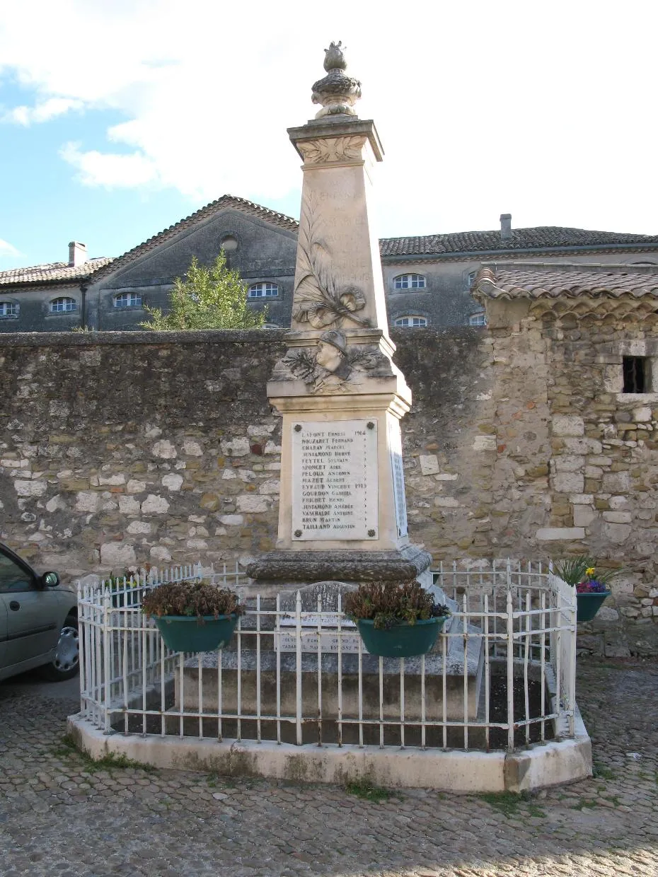
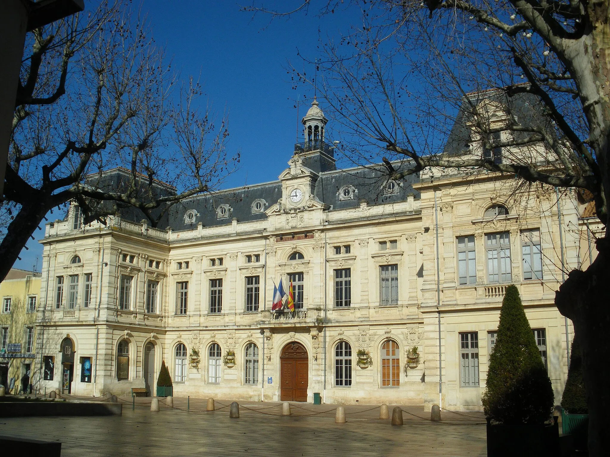
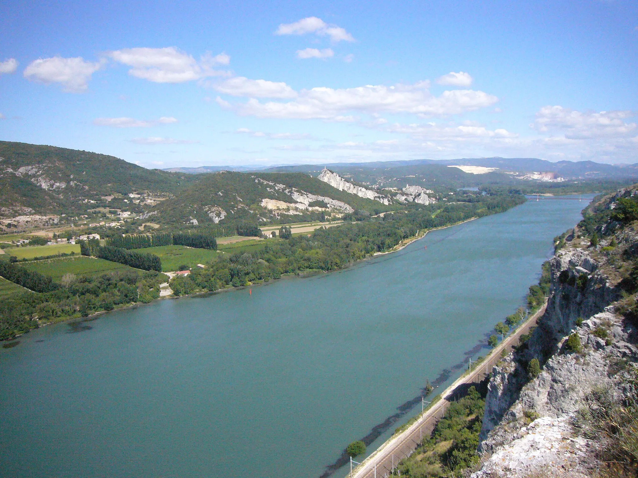
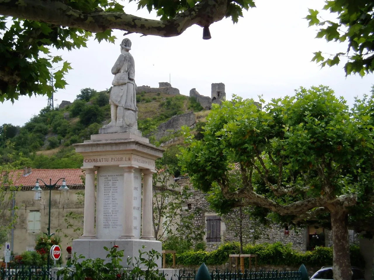
Pierrelatte is a small town located in the Rhône-Alpes region of France. As a road and gravel cyclist, you'll find that Pierrelatte offers a range of cycling opportunities. The surrounding countryside is beautiful and boasts scenic routes that are perfect for cycling. Additionally, Pierrelatte is within close proximity to the famous Mont Ventoux climb, making it a popular destination for cyclists looking to test their skills. Overall, the cycling infrastructure in Pierrelatte is well-developed, with plenty of cycling-friendly routes and paths available.
The Gravel Adventure
Embark on an exciting gravel adventure through Rhône-Alpes
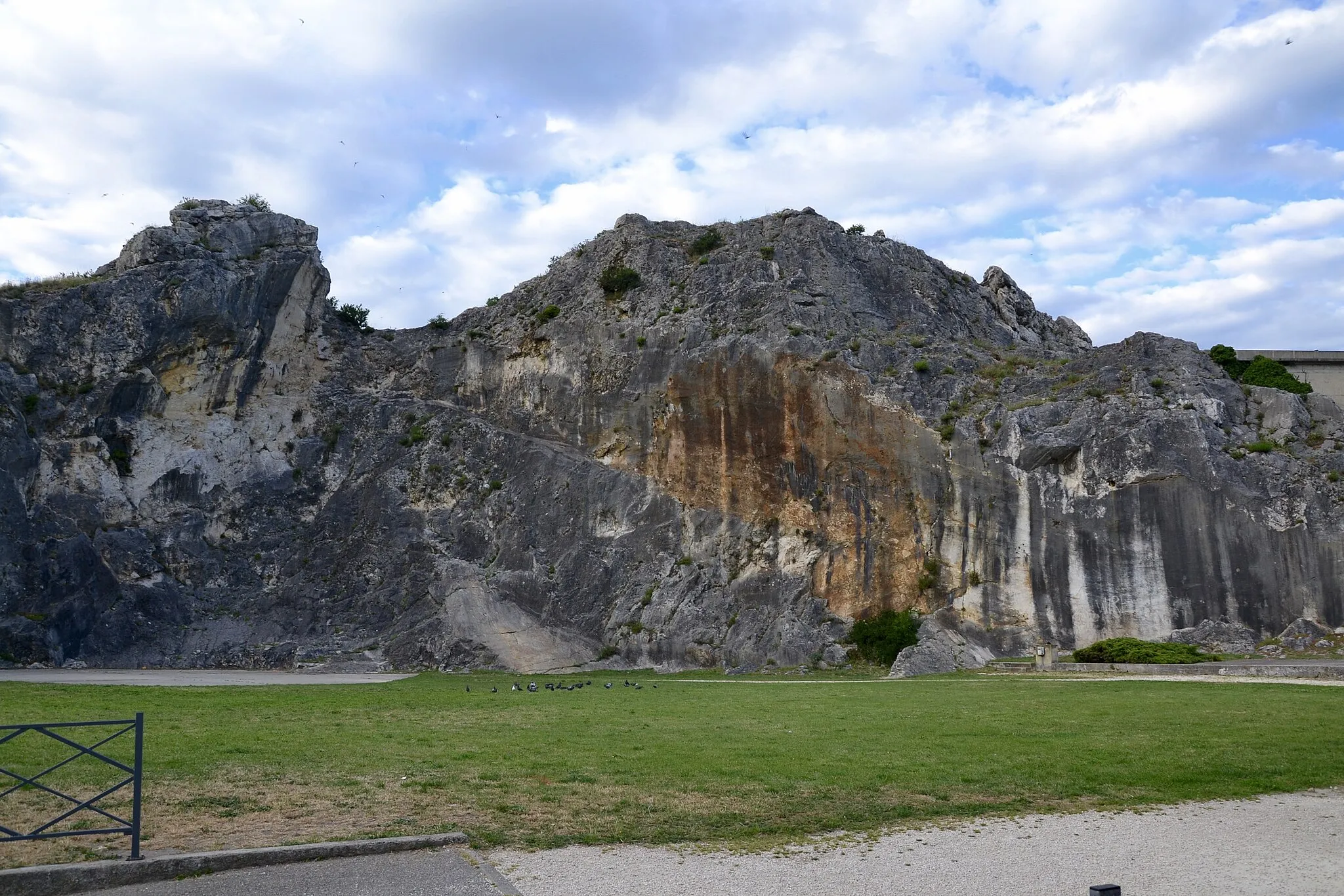
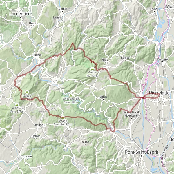
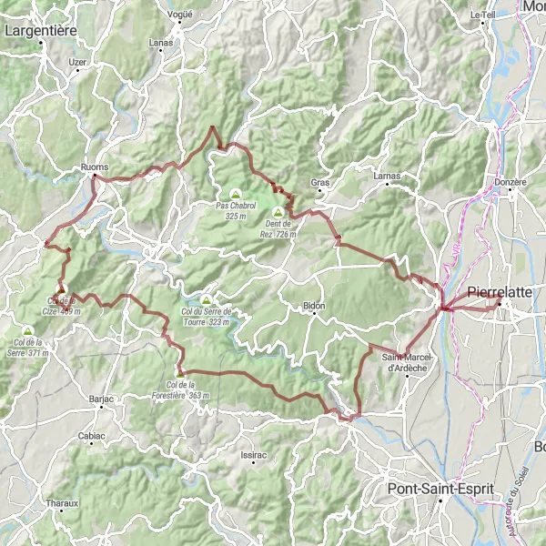
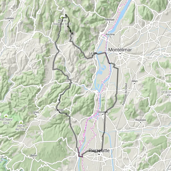
This challenging gravel route starting near Pierrelatte takes you on a thrilling adventure through the picturesque landscapes of Rhône-Alpes. With a total ascent of 1738 meters and a distance of 111 kilometers, this route is perfect for avid gravel cyclists. The diverse highlights along the way, including the charming town of Bourg-Saint-Andéol, the stunning Rochers de Castelviel, and the beautiful Col de la Forestière, make this route a memorable experience.
Embark on an adventure through Château Pradelle and Saint-Maurice-d'Ibie
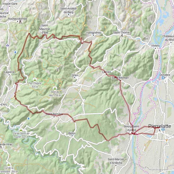
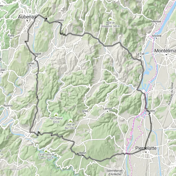
Get ready for an unforgettable gravel adventure in Château Pradelle and Saint-Maurice-d'Ibie with these round-trip routes starting near Pierrelatte. With distances ranging from 52 to 84 kilometers and ascents ranging from 571 to 1686 meters, these routes offer both challenges and rewards. Experience the thrill of conquering steep climbs and be rewarded with stunning views of the surrounding landscapes. These routes are suitable for experienced gravel cyclists who are in search of a memorable adventure.

Embark on a fast-paced road cycling adventure through beautiful landscapes
Ready for a fast-paced road cycling adventure? Hop on your bike and explore the stunning landscapes of Rhône-Alpes on this exhilarating route starting near Pierrelatte. With an ascent of 846 meters and a distance of 58 kilometers, this route offers a thrilling experience for cyclists. Highlights along the way include the charming town of Bourg-Saint-Andéol, the picturesque Vallon de Tourne, and the stunning Dent de Rez. Speed through the scenic landscapes of Larnas and enjoy the natural beauty of Rhône-Alpes on this exciting cycling adventure.
Cycling through the scenic routes of Chanteperdirx and Les Granges-Gontardes
These round-trip cycling routes starting near Pierrelatte in Rhône-Alpes, France showcase the stunning landscapes of Chanteperdirx and Les Granges-Gontardes. With a distance of 87 kilometers and an ascent of 632 meters, the road route provides an exciting challenge for cyclists. The gravel routes, on the other hand, offer a bit more adventure with distances ranging from 52 to 84 kilometers and ascent ranging from 571 to 1686 meters.The difficulty level for these routes varies from intermediate to advanced, making them suitable for well-trained amateurs. With a combination of challenging climbs and scenic views, these routes offer an epic cycling experience.
Uncover the treasures of Joannade and Les Granges-Gontardes
Embark on a cycling adventure through Joannade and Les Granges-Gontardes with these road routes starting near Pierrelatte. With a distance of 54 kilometers and a modest ascent of 204 meters, these routes are perfect for cyclists who enjoy a leisurely ride with beautiful scenery. The difficulty level for these routes is relatively easy, making them suitable for beginners or casual cyclists. Enjoy the picturesque landscapes, charming villages, and vineyards along the route.

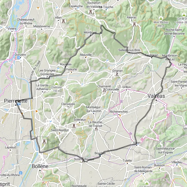
Experience the scenic beauty of Rhône-Alpes on this road tour
Indulge in the scenic beauty of Rhône-Alpes on this captivating road cycling route starting near Pierrelatte. With a total ascent of 811 meters and a distance of 97 kilometers, this tour is suitable for cyclists looking for a scenic road adventure. Highlights along the way include the beautiful Montagne Collet, the charming village of Richerenches, and the picturesque Séguret. Enjoy breathtaking panoramic views from Panorama, explore the historical town of Uchaux, and visit the bustling town of Bollène. This road tour offers a perfect blend of natural landscapes, cultural heritage, and gastronomy.
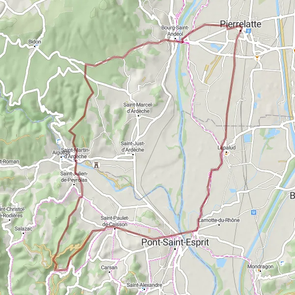
Discover the hidden gems of Lapalud and Saint-Paulet-de-Caisson on gravel tracks
Experience the beauty of Lapalud and Saint-Paulet-de-Caisson with these gravel routes starting near Pierrelatte. With distances ranging from 52 to 84 kilometers and ascents ranging from 571 to 1686 meters, these routes offer a mix of challenging terrain and scenic landscapes. These routes are suitable for cyclists who enjoy exploring off-the-beaten-path destinations and seeking a sense of adventure.The difficulty level for these routes varies from intermediate to advanced, making them exciting challenges for well-trained amateurs. Explore the picturesque villages and captivating natural surroundings, and discover the rich history of the region.
Embark on the ultimate gravel challenge through stunning landscapes
Get ready for an epic gravel adventure through the magnificent landscapes of Rhône-Alpes. This challenging route starting near Pierrelatte covers a total distance of 113 kilometers and an ascent of 1917 meters. Explore outstanding highlights along the way, including the impressive Château Pradelle, the picturesque Vallon de Tourne, and the breathtaking Rochers de Castelviel. Conquer the Col de la Forestière, experience the beauty of Saint-Martin-d'Ardèche, and admire the panoramic views from the Col de la Cize. This ultimate gravel challenge will take you to some of the most stunning locations in Rhône-Alpes.
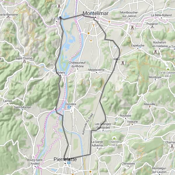
Explore the stunning Rhône-Alpes region on this road cycling adventure
Discover the beauty of the Rhône-Alpes region on this road cycling route starting near Pierrelatte. With a total ascent of 1155 meters and a distance of 87 kilometers, this route is suitable for road cyclists of all levels. Highlights along the way include the charming town of Saint-Montan, the picturesque Vallon de Tourne, and the scenic Le Teil. Immerse yourself in the outstanding natural beauty of Rhône-Alpes and enjoy the diverse landscapes and historical landmarks along the route.
A cycling adventure showcasing the breathtaking beauty of Rhône-Alpes
Embark on an unforgettable journey through Rhône-Alpes, as you pedal past picturesque valleys, charming villages, and historic landmarks. Experience the thrill of conquering legendary climbs and soak in the stunning views offered by Table d'orientation and Vallon de Tourne. Marvel at the architectural wonders of Viviers and immerse yourself in the tranquil ambiance of Joannade. With a mix of challenging ascents and exhilarating descents, this route promises an exciting and rewarding cycling experience for enthusiasts of all levels.
Cycling routes nearby:


Nearby regions: