Exploring the scenic cycling routes of Pont-de-Veyle in Rhône-Alpes, France.
Cycling routes from Pont-de-Veyle
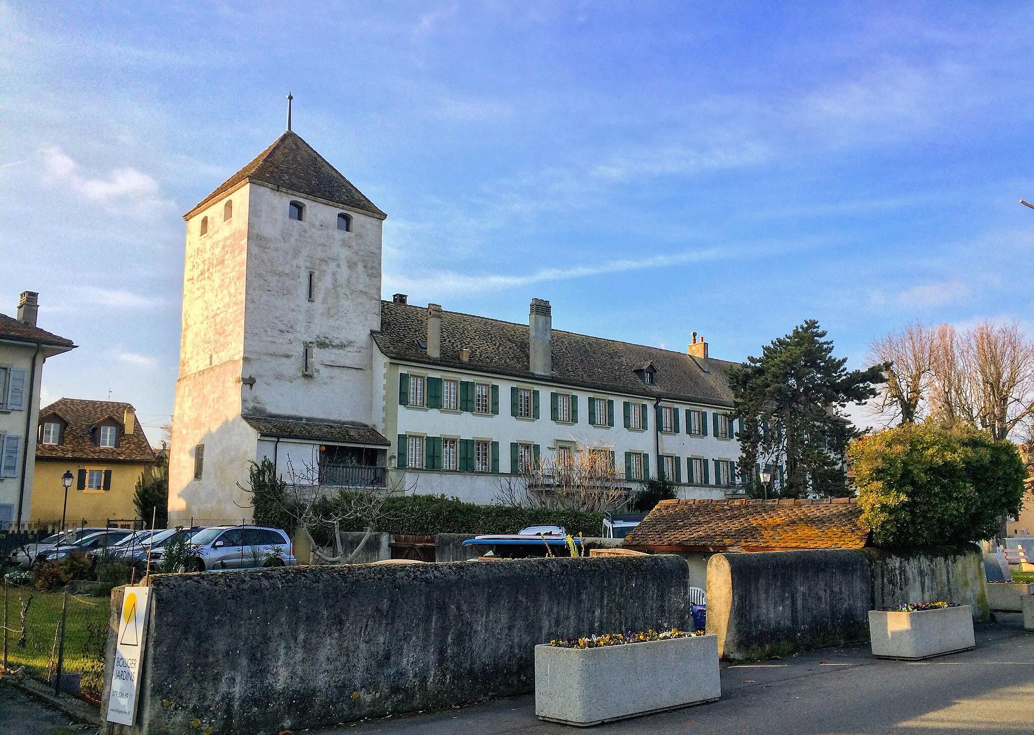
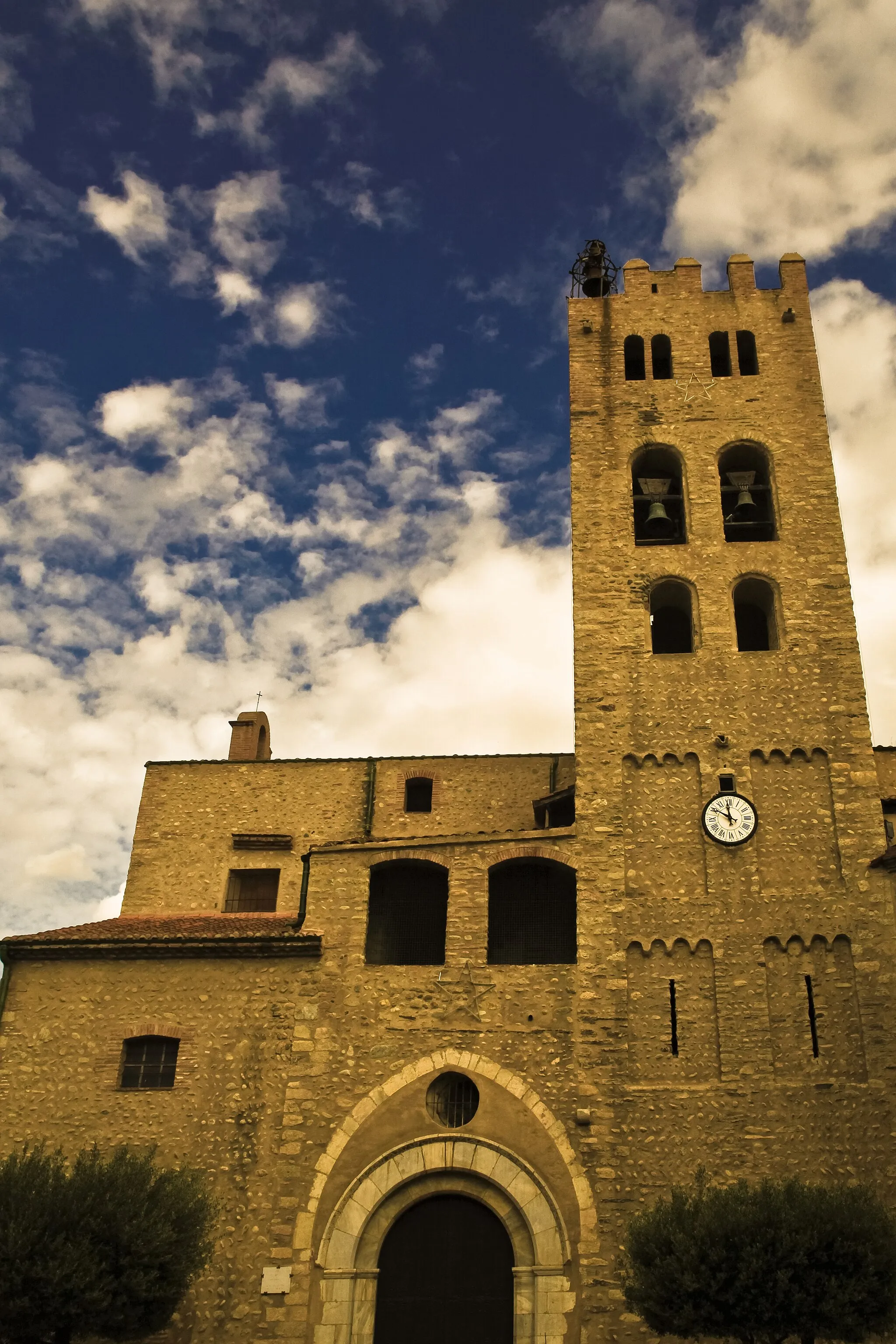
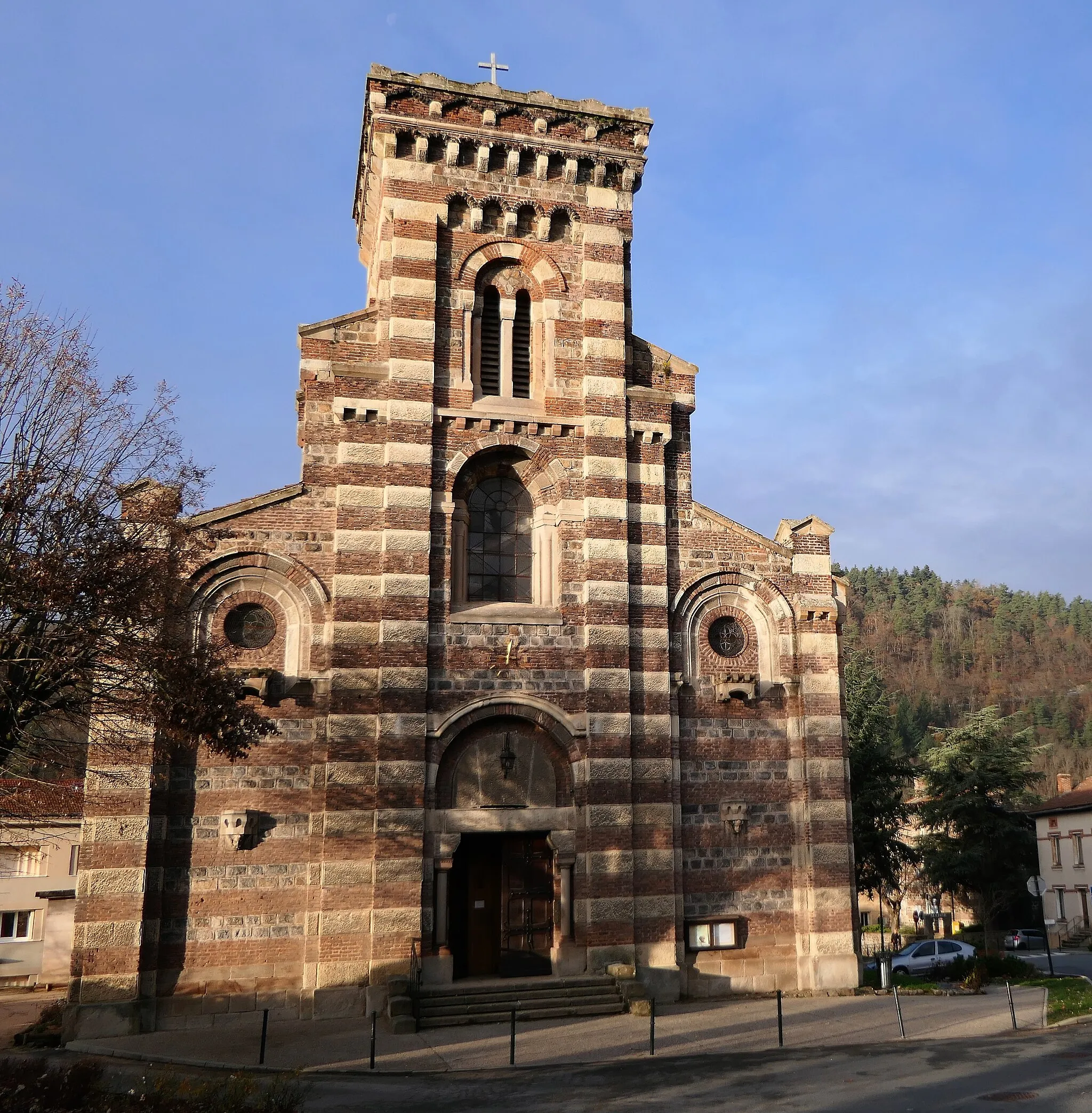
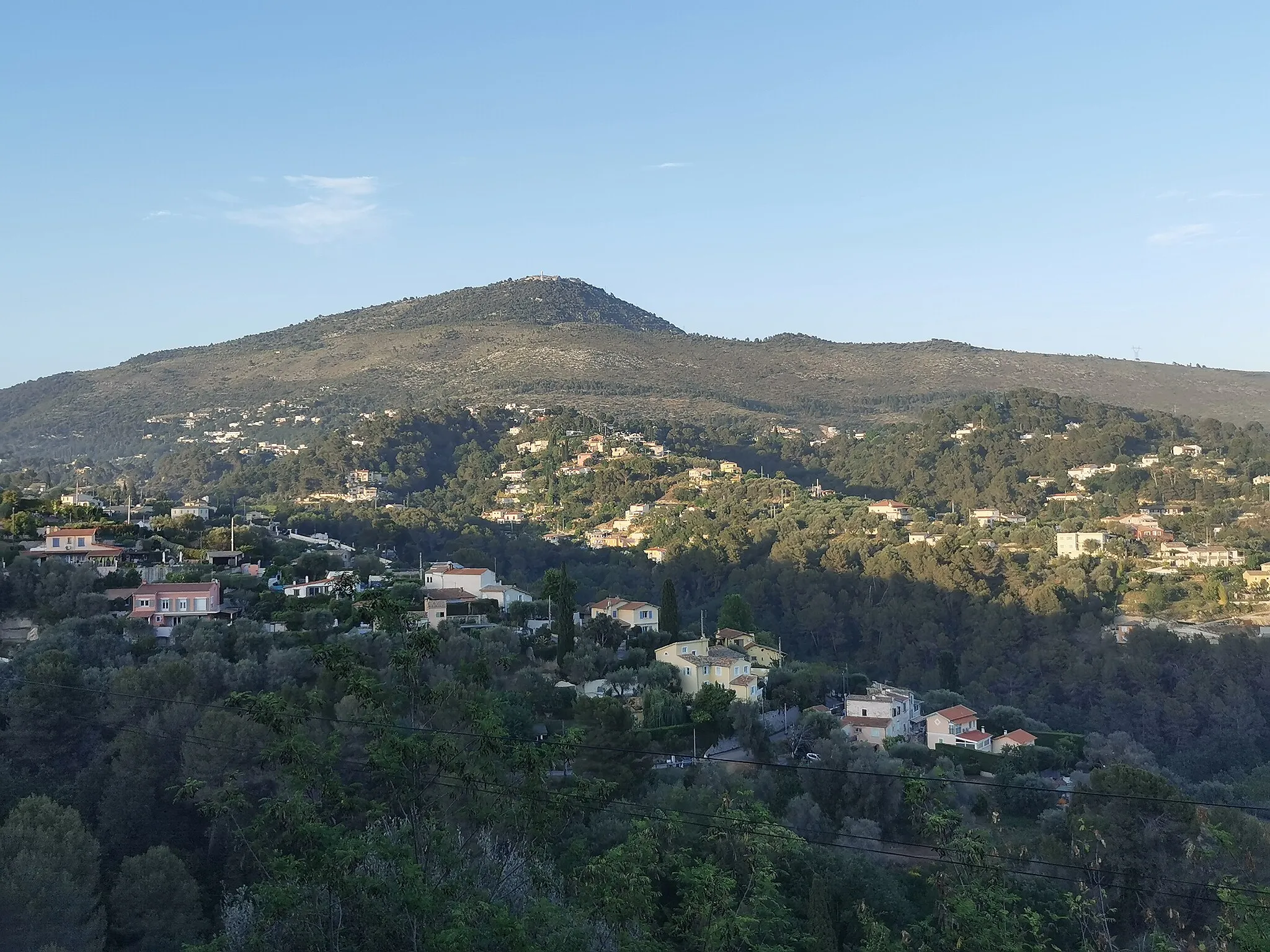
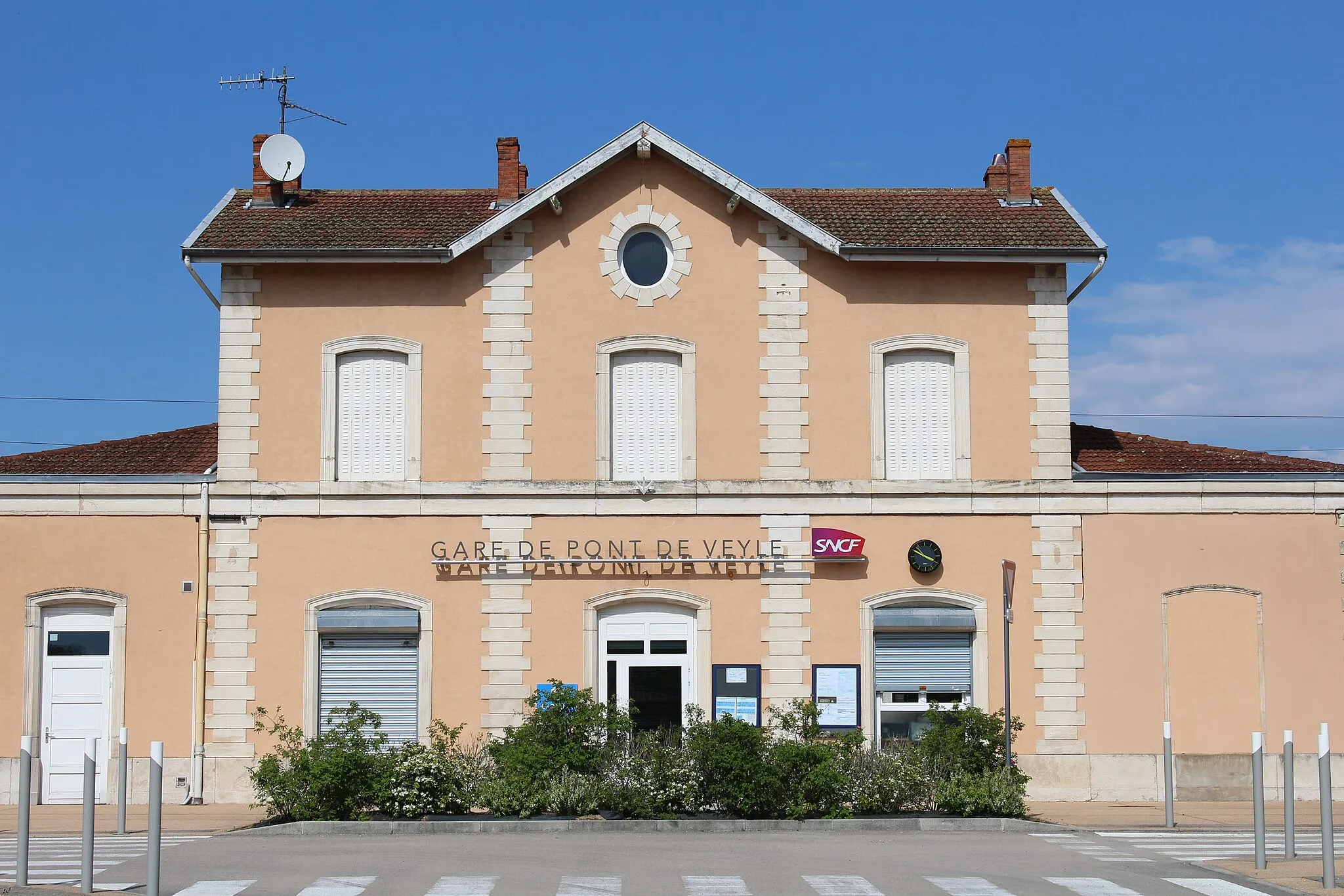
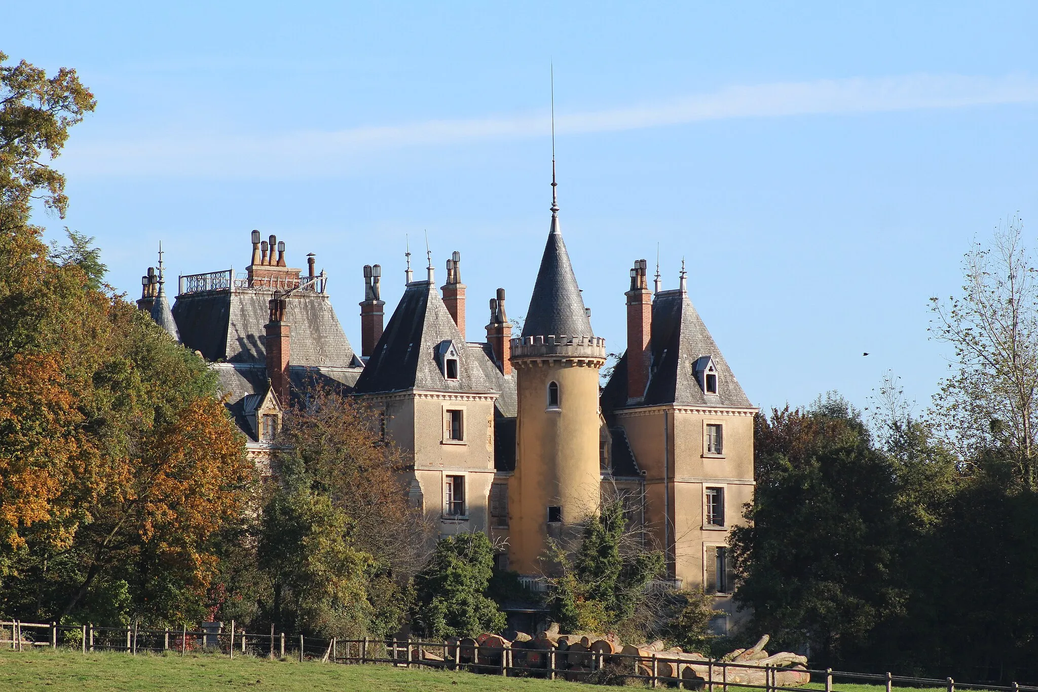
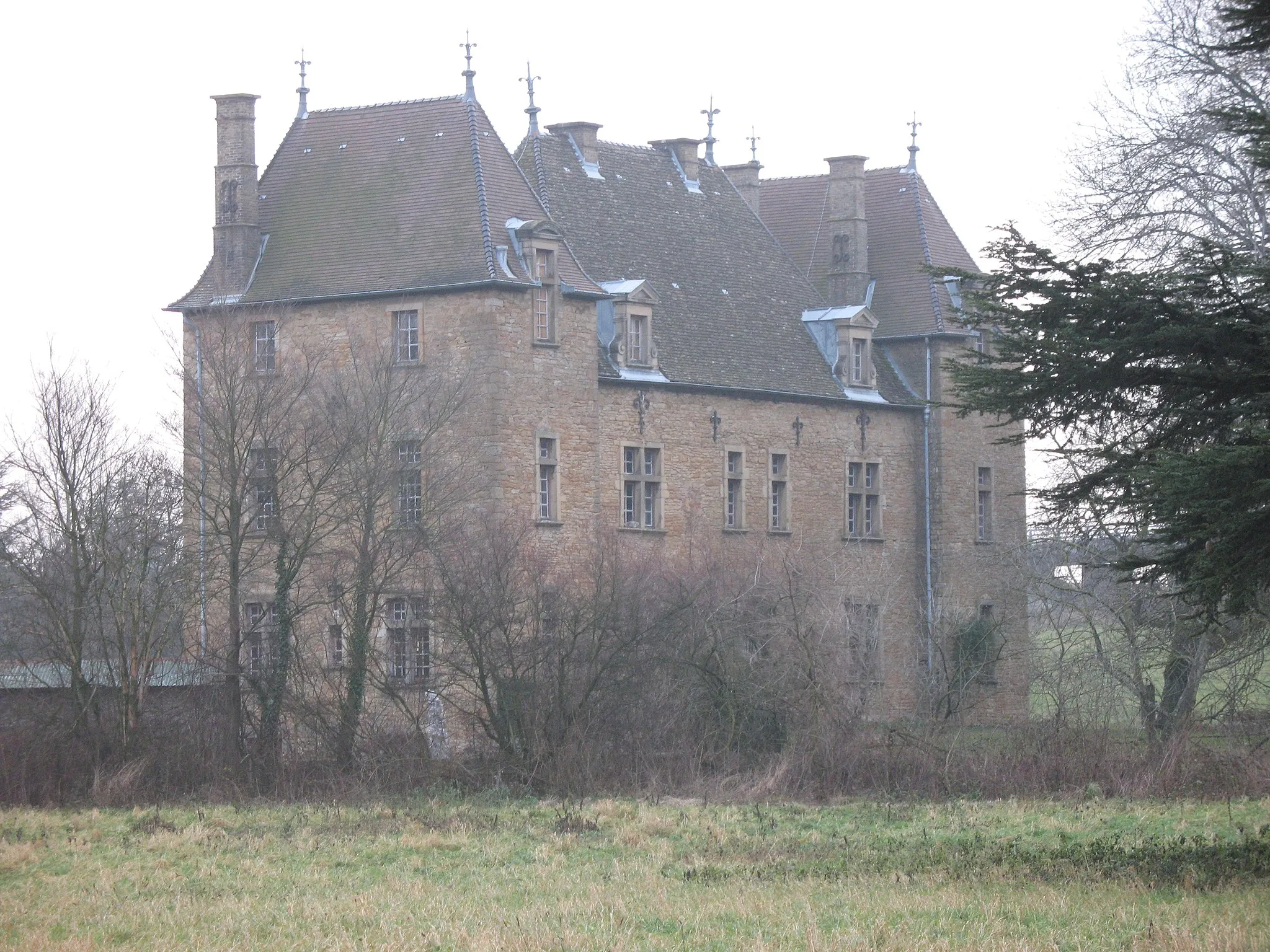
Pont-de-Veyle is a delightful locality located in the Rhône-Alpes region of France. From a cyclist's perspective, it offers a mix of flat roads and rolling hills, providing a variety of cycling terrain. The picturesque countryside and charming villages make cycling in Pont-de-Veyle a pleasant experience. Nearby, cyclists can explore the famous climbs of the Jura mountains, such as Col de la Biche. Pont-de-Veyle is a great base for cycling adventures in the region.
Marsonnas Adventure Ride
An epic road cycling route with challenging climbs
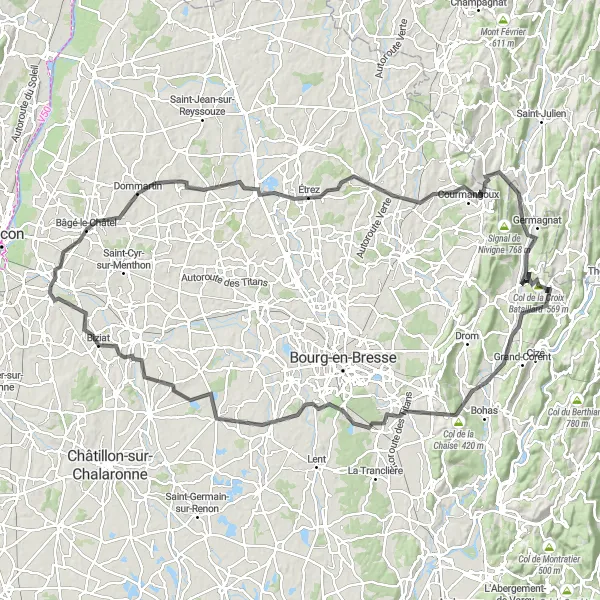
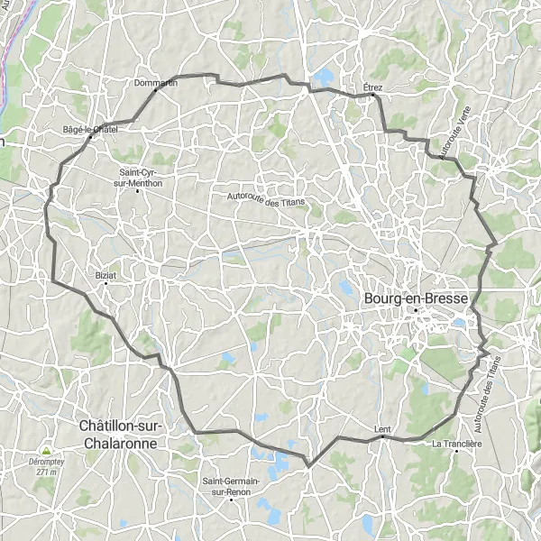
The Marsonnas Adventure Ride is an epic road cycling route that covers a distance of 136 kilometers with a total ascent of 1212 meters. This challenging route starts near Pont-de-Veyle and takes you through the scenic countryside, passing by the towns of Bâgé-le-Châtel, Marsonnas, Verjon, Pouillat, Collet de Chavannes, Col de la Chaise, Montagnat, Saint-André-sur-Vieux-Jonc, Chanoz-Châtenay, Biziat, and Grand-Faubourg. Along the way, you will encounter steep climbs, sweeping descents, and breathtaking views of the Rhône-Alpes region.
Cycle through scenic countryside from Pont-de-Veyle to the iconic Roche de Solutré rock formation
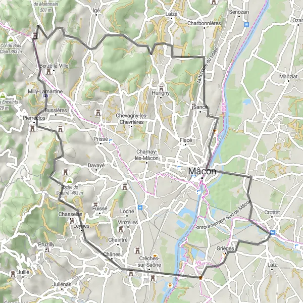
This round-trip cycling route starting near Pont-de-Veyle takes you through the picturesque Rhône-Alpes region in France. Enjoy the beautiful scenery as you make your way towards the famous Roche de Solutré, a 493-meter high limestone rock. The route offers a mix of challenging ascents and gentle inclines, perfect for a well-trained amateur cyclist. With a total distance of 66 kilometers, you'll have plenty of opportunities to appreciate the charming villages and vineyards along the way.
Bâgé-le-Châtel Loop
A challenging road cycling route with beautiful scenery
The Bâgé-le-Châtel Loop is a challenging road cycling route that covers a distance of 105 kilometers with a total ascent of 561 meters. The route starts near Pont-de-Veyle and takes you through the picturesque towns of Montrevel-en-Bresse, Montagnat, Saint-André-le-Bouchoux, and Saint-André-d'Huiriat. Along the way, you will enjoy stunning views of the Rhône-Alpes region and pass by charming villages and historic landmarks.
An adventurous road cycling route with challenging climbs
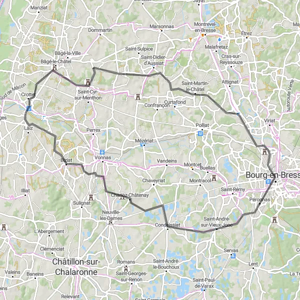
The Bourg-en-Bresse Adventure is an adventurous road cycling route that covers a distance of 78 kilometers with a total ascent of 439 meters. This route starts near Pont-de-Veyle and takes you through the scenic countryside, passing by the villages of Crottet, Saint-Martin-le-Châtel, Bourg-en-Bresse, Chanoz-Châtenay, Biziat, and Grand-Faubourg. Along the way, you will encounter challenging climbs, rolling hills, and picturesque landscapes.
A scenic road cycling route with moderate difficulty
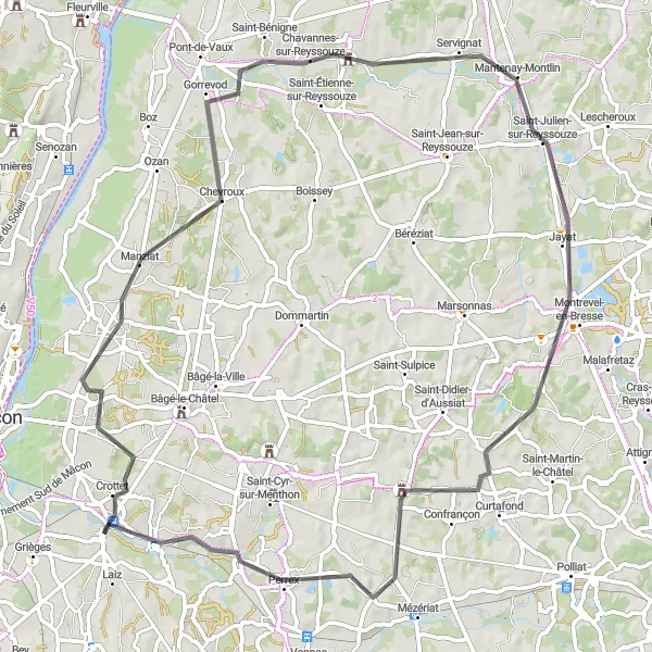
The Manziat Scenic Route is a beautiful road cycling route that covers a distance of 74 kilometers with a total ascent of 256 meters. This route starts near Pont-de-Veyle and takes you through the quaint towns of Manziat, Gorrevod, Jayat, Perrex, and Pont-de-Veyle. Along the way, you will pass through picturesque countryside landscapes, charming villages, and historic landmarks.
A leisurely road cycling route with scenic views
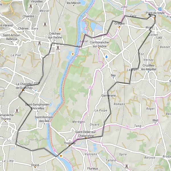
The Thoissey Loop is a leisurely road cycling route that covers a distance of 41 kilometers with a total ascent of 147 meters. The route starts near Pont-de-Veyle and takes you through the charming towns of Garnerans, Thoissey, La Chapelle-de-Guinchay, and Pont-de-Veyle. Along the way, you will enjoy scenic views of the Rhône-Alpes region and pass by picturesque vineyards and historic landmarks.
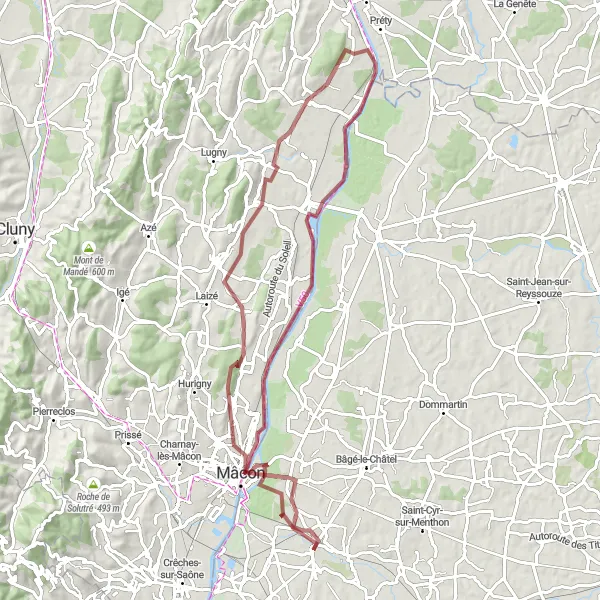
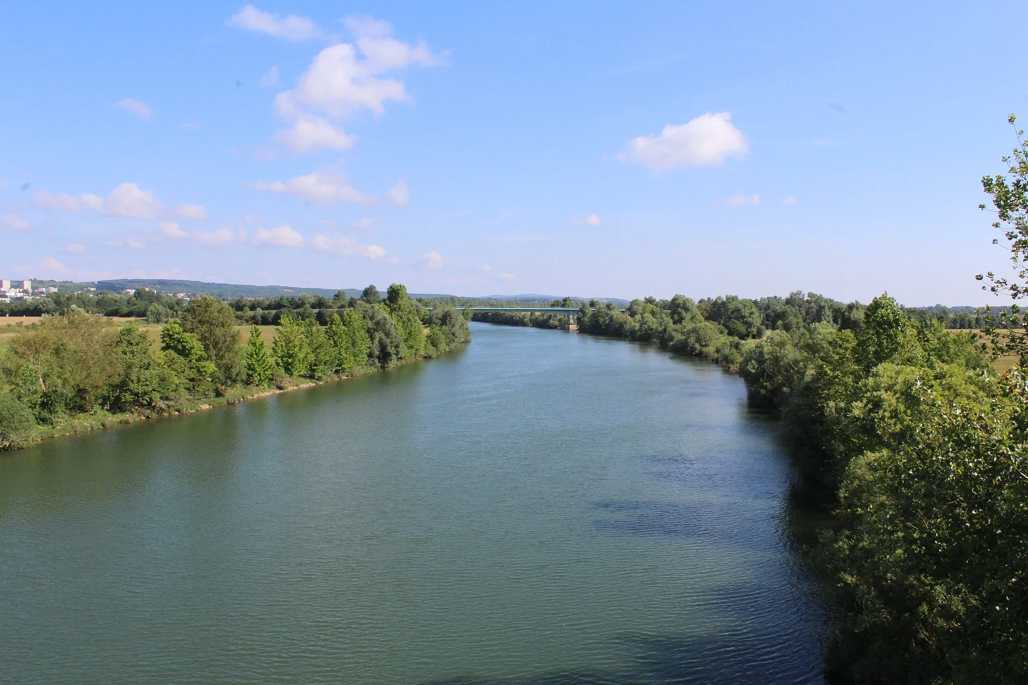
Set off on a scenic gravel adventure alongside the picturesque Saône River.
Immerse yourself in the natural beauty of the Saône River on this scenic gravel route. With an ascent of 348 meters and a distance of 59 kilometers, this route offers a moderate yet scenic adventure. Visit the charming town of Saint-Laurent-sur-Saône before heading to the mesmerizing Table d'orientation de La Grisière, offering panoramic views of the surrounding landscapes. Explore the enchanting village of Fleurville, known for its captivating history and stunning vistas. Highlights of this route also include Boz, a peaceful town perfect for a relaxing break, and Bâgé-le-Châtel, with its medieval architecture. With a difficulty level of 3 and an epicness rating of 3, this route guarantees a memorable cycling experience.
Scenic Road Tour of Mâcon
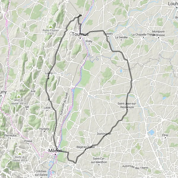
Embark on an unforgettable road tour of Mâcon and experience its stunning landscapes.
Discover the beauty of Mâcon on this scenic road tour. With an ascent of 739 meters and a distance of 104 kilometers, this route is perfect for cycling enthusiasts seeking a challenge. Explore the charming town of Mâcon with its historical sites and delightful cafes. Highlights of this route include the town of Clessé known for its wine production, Ozenay with its picturesque castle, and the famous Roche de Solutré, a limestone outcrop offering panoramic views. With a difficulty level of 4 and an epicness rating of 3, this route guarantees an unforgettable cycling experience.
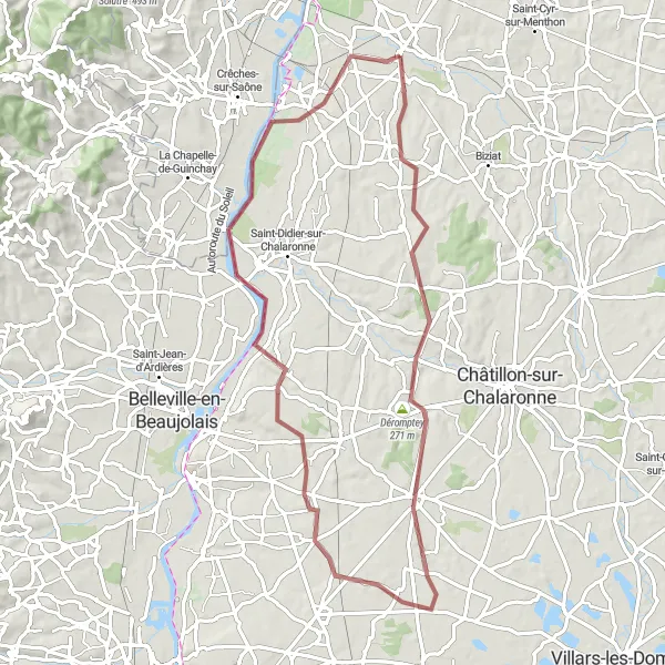
Experience the scenic beauty of Saône Valley on this thrilling gravel adventure.
Embark on a picturesque cycling journey through the stunning Saône Valley. This gravel route offers breathtaking views of the surrounding landscapes and takes you through charming villages and towns along the way. With a moderate difficulty level and an epicness rating of 4, this route is perfect for cyclists looking for an exhilarating adventure. Highlights of this route include Cruzilles-lès-Mépillat with its quaint streets and cafes, Dompierre-sur-Chalaronne known for its historical architecture and Déromptey where you can enjoy panoramic views of the Saône River.
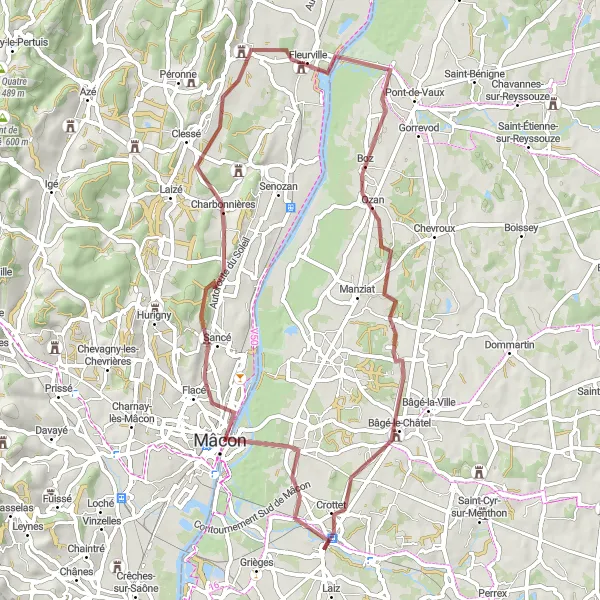
Explore the stunning landscapes of Mâcon on this thrilling gravel route.
Experience the diverse beauty of Mâcon on this gravel cycling route. With an ascent of 408 meters and a distance of 79 kilometers, this route offers a challenging yet rewarding adventure. Immerse yourself in the enchanting town of Mâcon with its historical sites and vibrant atmosphere. Discover picturesque villages along the way, such as Asnières-sur-Saône and Fleurville, known for their charming streets and natural surroundings. Highlights of this route include Sancé, offering magnificent views of the Saône River, and Crottet, known for its scenic beauty. With a difficulty level of 3 and an epicness rating of 4, this route promises an unforgettable cycling experience.
Cycling routes nearby:

Nearby regions: