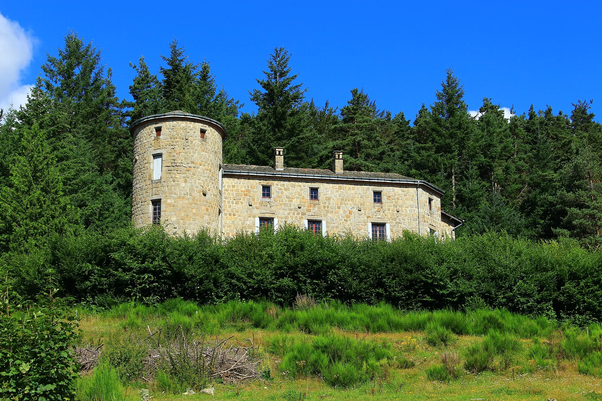
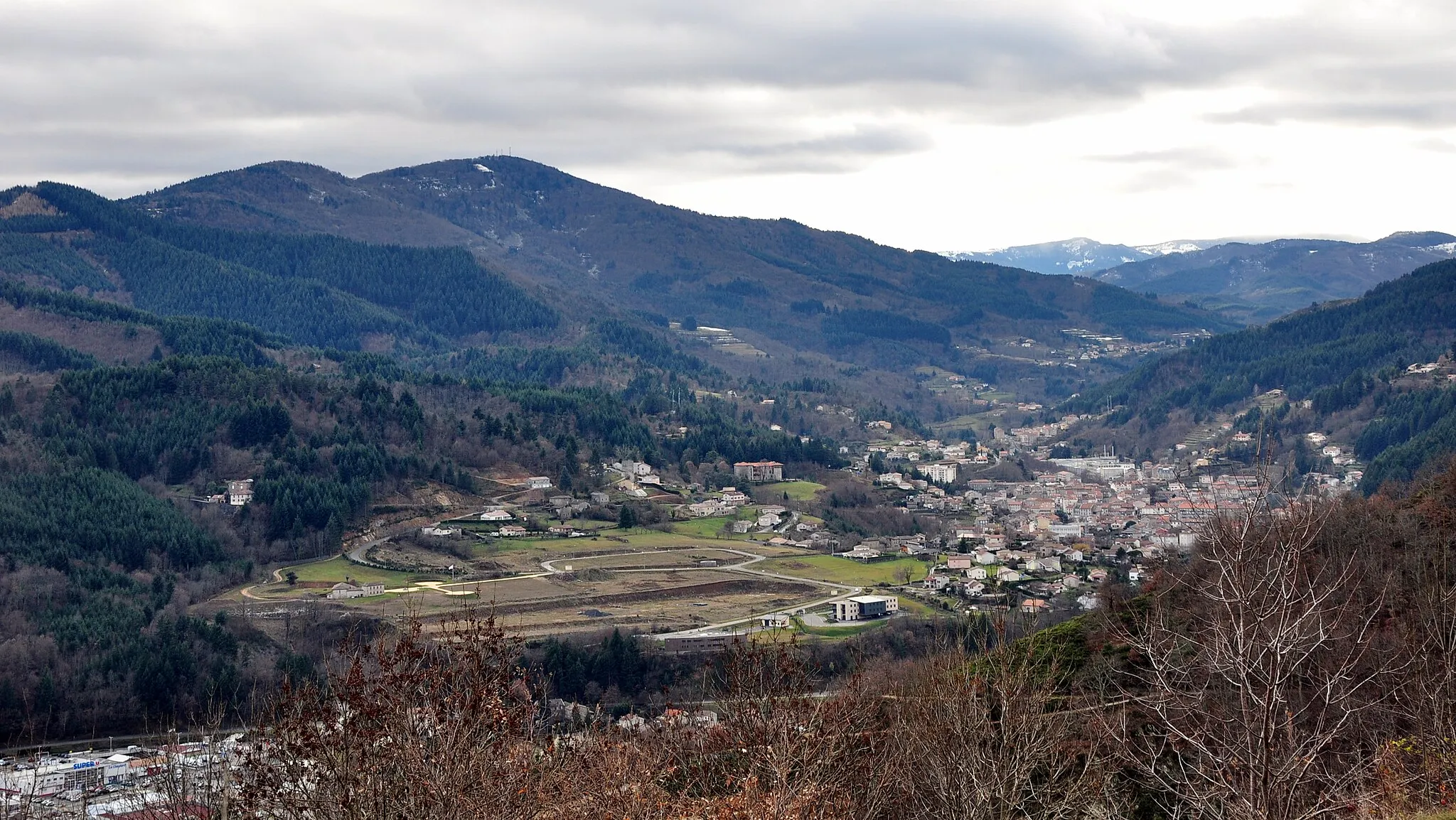
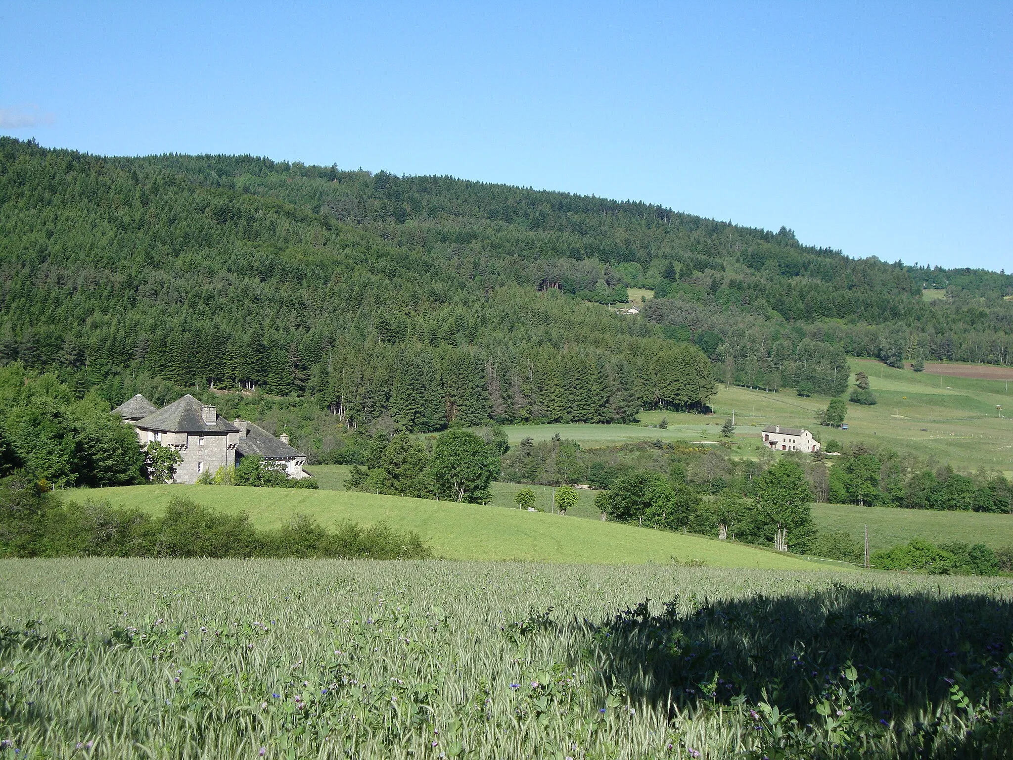
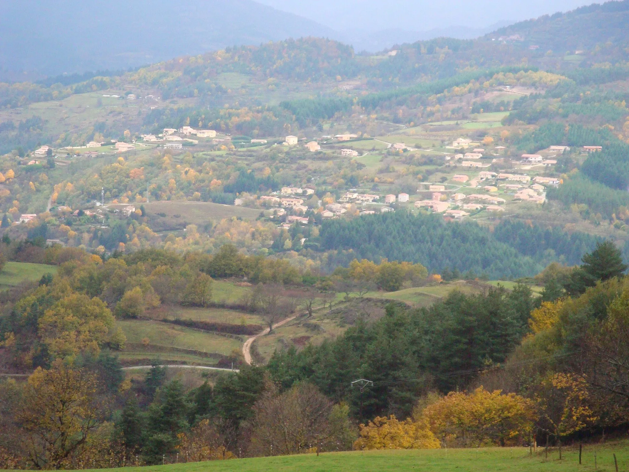
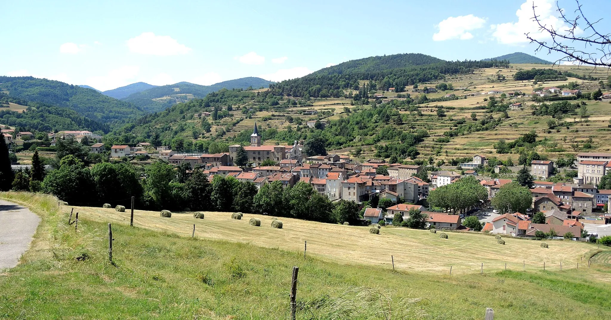
Mountain Paradise in Rhône-Alpes
Cycling routes from Saint-Agreve
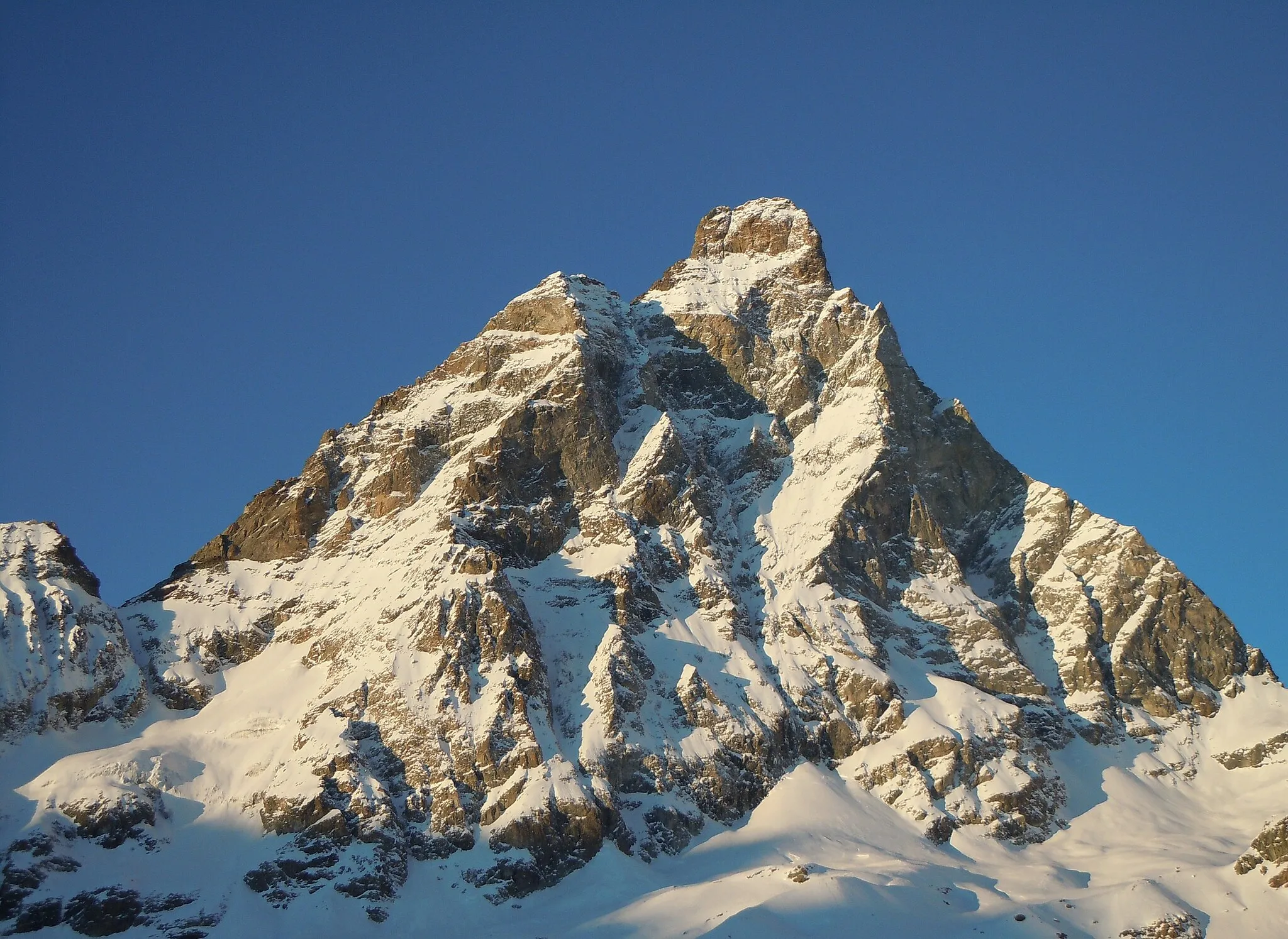
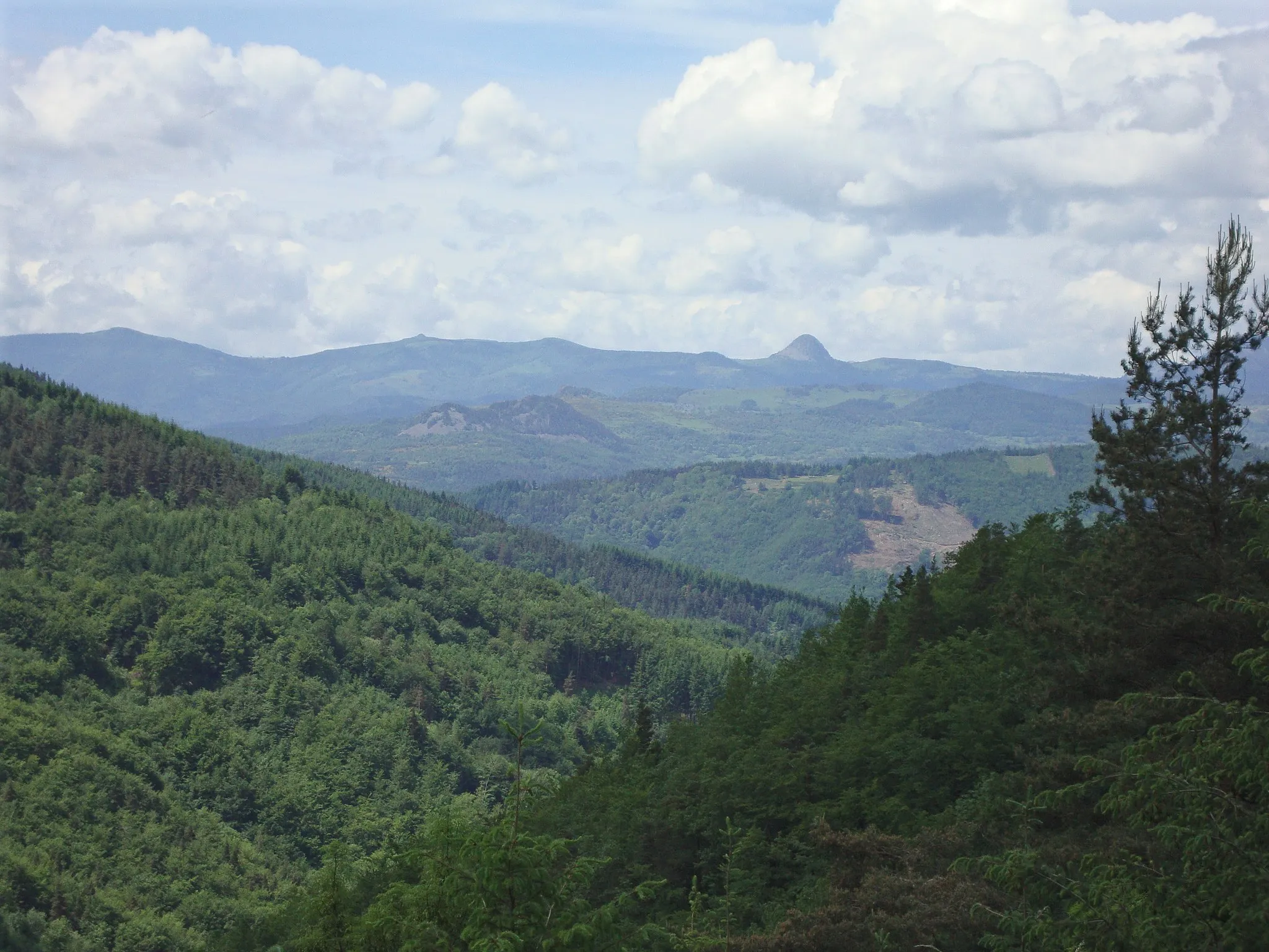
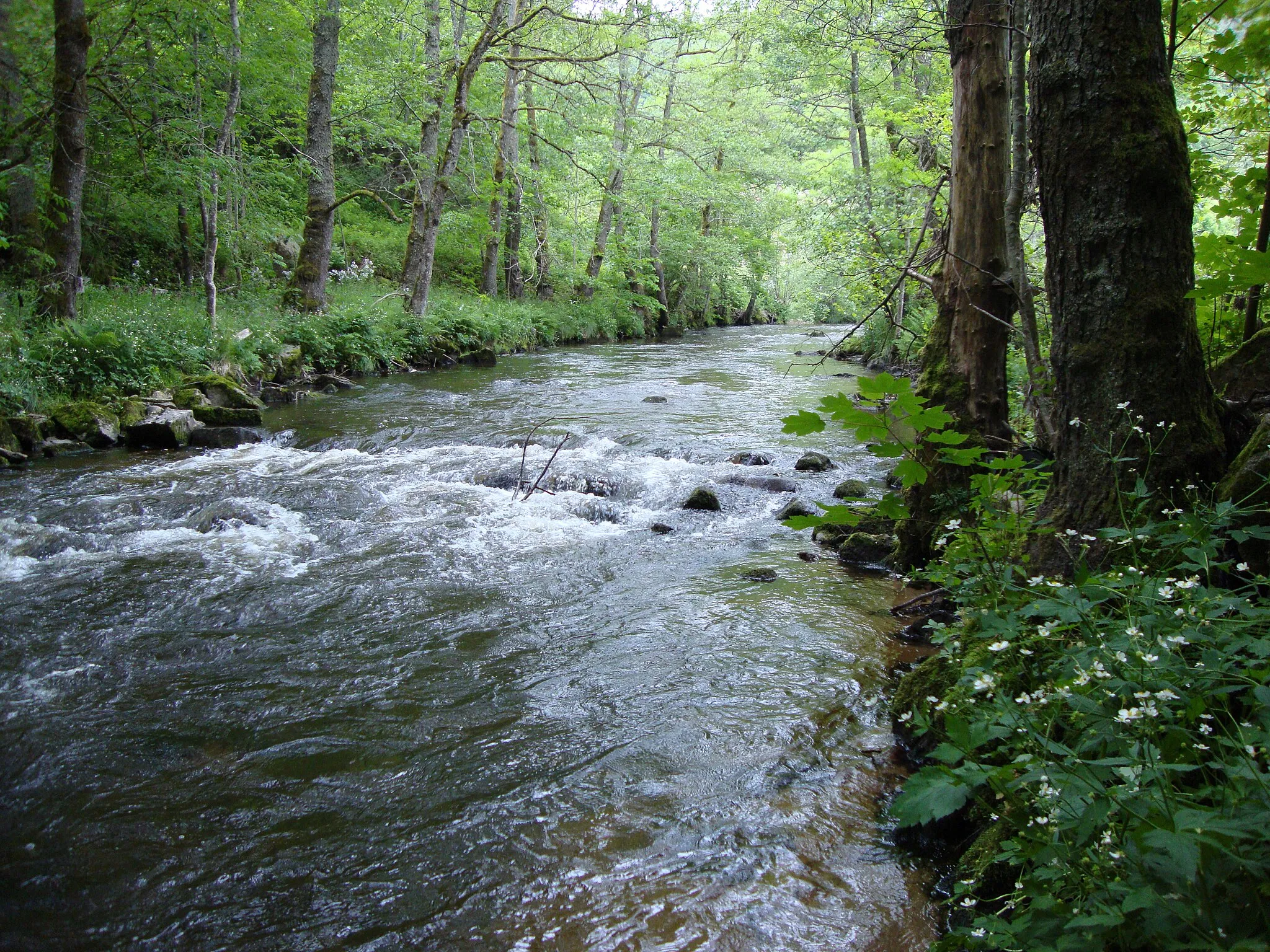
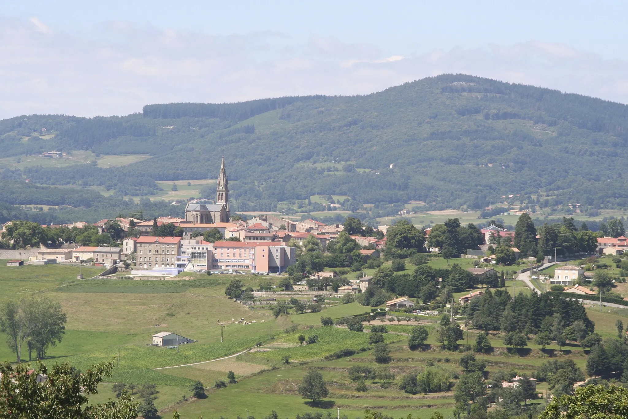
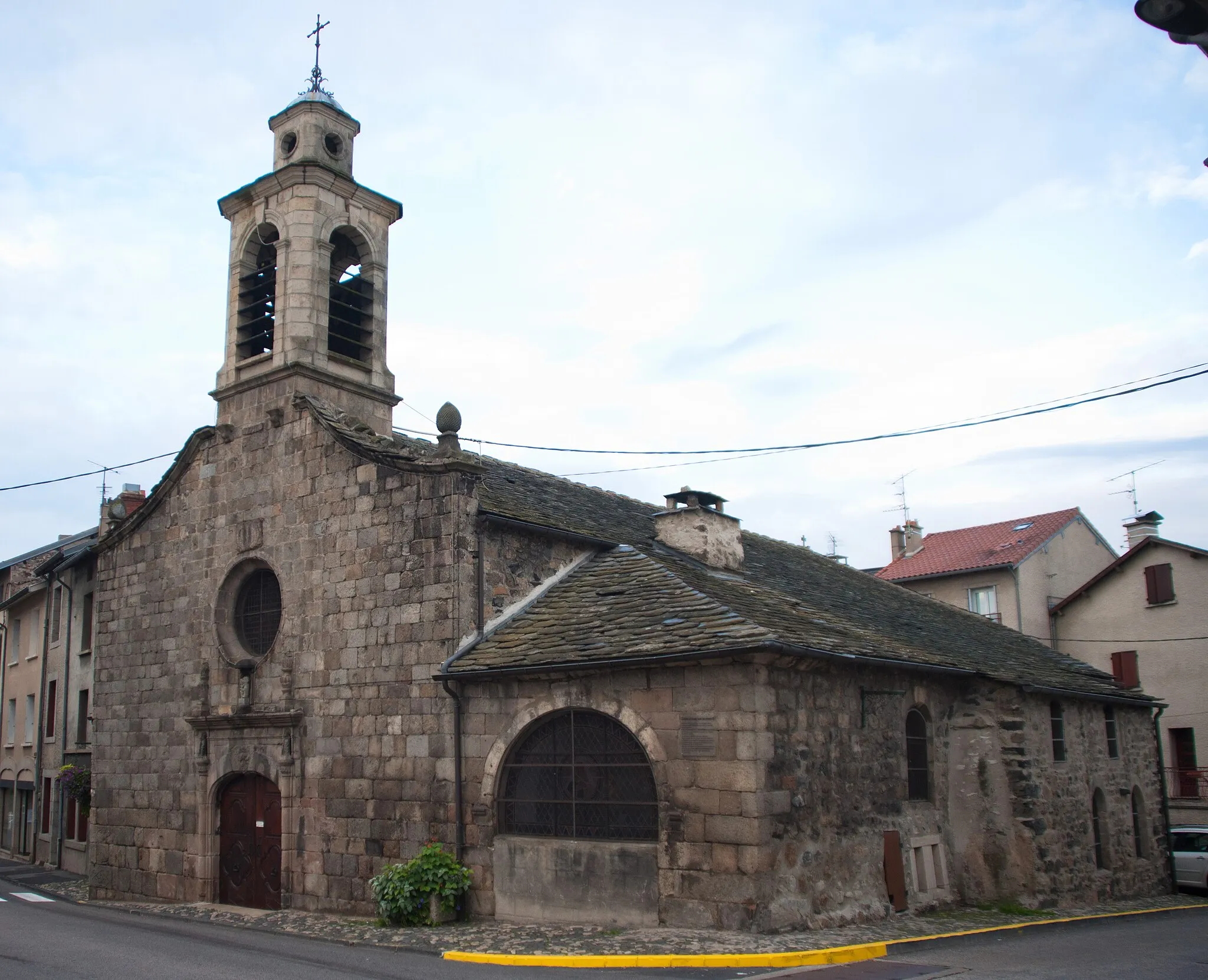
Saint-Agrève is a small town located in the Rhône-Alpes region of France. It offers breathtaking mountainous landscapes and challenging climbs, making it a paradise for road cyclists. The locality is surrounded by the beautiful mountains of Ardèche, providing cyclists with stunning views throughout their rides. Col de la Toussuire, a well-known climb in the cycling world, is also nearby. Saint-Agrève is a must-visit for cyclists seeking thrilling challenges and picturesque mountain routes.

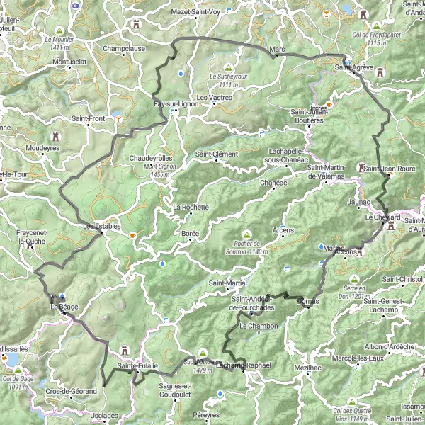
Embark on a scenic road adventure, exploring the beauty of Rhône-Alpes on this 127km route.
Take in the beauty of Rhône-Alpes on this captivating road adventure. Measuring 127km, this route will lead you through picturesque landscapes and charming villages near Saint-Agrève. With a total ascent of 1994m, this route offers a moderate challenge suitable for experienced cyclists. Enjoy the stunning Rocher d'Aiglet and the panoramic views from Suc de Chauven along the way. The difficulty level of this route is 3 out of 5, providing a good balance of challenging climbs and enjoyable descents. The epicness of this route is ranked at 3 out of 5, offering scenic vistas and cultural encounters.
Gravel Loop from Saint-Agrève

A thrilling gravel adventure in the Rhône-Alpes region
Embark on a challenging 83-km gravel loop starting from Saint-Agrève. The route features a total ascent of 2,048 meters, taking you through picturesque towns and breathtaking natural landscapes. Get ready for a truly rewarding experience.

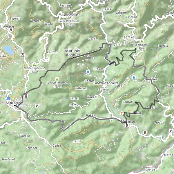
Embark on a thrilling 110km gravel tour, exploring picturesque landscapes and charming villages around Saint-Agrève.
Take on this challenging 110km gravel route starting near Saint-Agrève and prepare for an unforgettable adventure. With a total ascent of 2491m, this route will test your endurance and reward you with stunning vistas. Explore quaint villages like Saint-Jeures and Montbarnier along the way and enjoy the natural beauty of the Rhode-Alpes region. The difficulty level of this route is 4 out of 5, making it suitable for experienced cyclists seeking a challenge. The epicness of this route is ranked at 3 out of 5, offering a mix of scenic exploration and thrilling riding experiences.
Discover pristine landscapes on this gravel route around Saint-Agrève
Embark on a 96-km gravel exploration near Saint-Agrève, covering a total ascent of 2405 meters. This route takes you through diverse terrain, including charming villages and serene natural surroundings.

Embark on an unforgettable 105km road adventure, conquering challenging climbs and taking in breathtaking views.
Get ready for an epic road adventure with this challenging 105km route starting near Saint-Agrève. With a total ascent of 2359m, this route is a true test of endurance. Conquer exhilarating climbs like Col de Montreynaud and Le Cheylard, and admire scenic viewpoints along the way. The difficulty level of this route is 4 out of 5, making it suitable for experienced cyclists seeking a demanding challenge. The epicness of this route is ranked at 4 out of 5, offering rewarding achievements and awe-inspiring vistas.
Explore the Rhône-Alpes region on this scenic road cycling route
Experience the beauty of the Rhône-Alpes region on this 63-km road loop starting from Saint-Agrève. With a total ascent of 1165 meters, the route offers stunning landscapes and charming towns along the way.
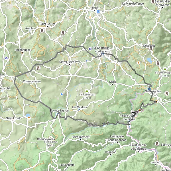
Experience stunning vistas on this road cycling tour near Saint-Agrève
Discover the breathtaking landscapes of the Rhône-Alpes region on this 121-km road cycling tour starting from Saint-Agrève. With a challenging 2418 meters of ascent, this route offers a perfect balance between natural beauty and exhilarating climbs.
Explore the scenic mountains and charming villages near Saint-Agrève
This cycling route takes you through picturesque landscapes, including mountainous terrain and idyllic villages. The route offers a challenging ride with a significant ascent. Experience the beauty of nature as you cycle through breathtaking views. Marvel at the charming villages that dot the route, each with its own unique character and historical significance. Enjoy a rewarding cycling journey with stunning surroundings and cultural attractions along the way.
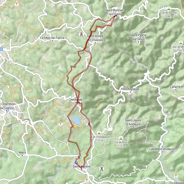
Immerse yourself in nature with a scenic 42km gravel loop around Mont Chiniac.
Experience the beauty of Mont Chiniac on this 42km gravel loop starting near Saint-Agrève. With a moderate ascent of 767m, this route is suitable for cyclists of all fitness levels. Enjoy breathtaking views of the surrounding countryside as you ride through idyllic landscapes. The difficulty level of this route is 2 out of 5, making it ideal for beginners or those looking for a leisurely gravel ride. The epicness of this route is ranked at 2 out of 5, allowing you to appreciate the natural beauty of the region without extreme challenges.

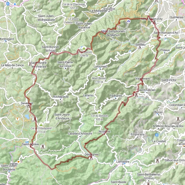
Embark on a memorable 134km gravel adventure near Saint-Agrève, exploring the picturesque Rhône-Alpes region.
Immerse yourself in the natural beauty of the Rhône-Alpes region on this captivating 134km gravel adventure. With a total ascent of 3364m, this route is designed for experienced gravel enthusiasts seeking a challenging ride. Discover hidden gems like Beauvène and Saint-Étienne-de-Serre along the way, and take in spectacular views from Table d'orientation. The difficulty level of this route is 5 out of 5, making it a demanding endeavor even for seasoned cyclists. The epicness of this route is ranked at 4 out of 5, offering a mix of breathtaking landscapes and off-the-beaten-path discovery.
Cycling routes nearby:

Nearby regions: