Picturesque countryside and thrilling Col du Vercors climb.
Cycling routes from Saint-Laurent-de-Mure
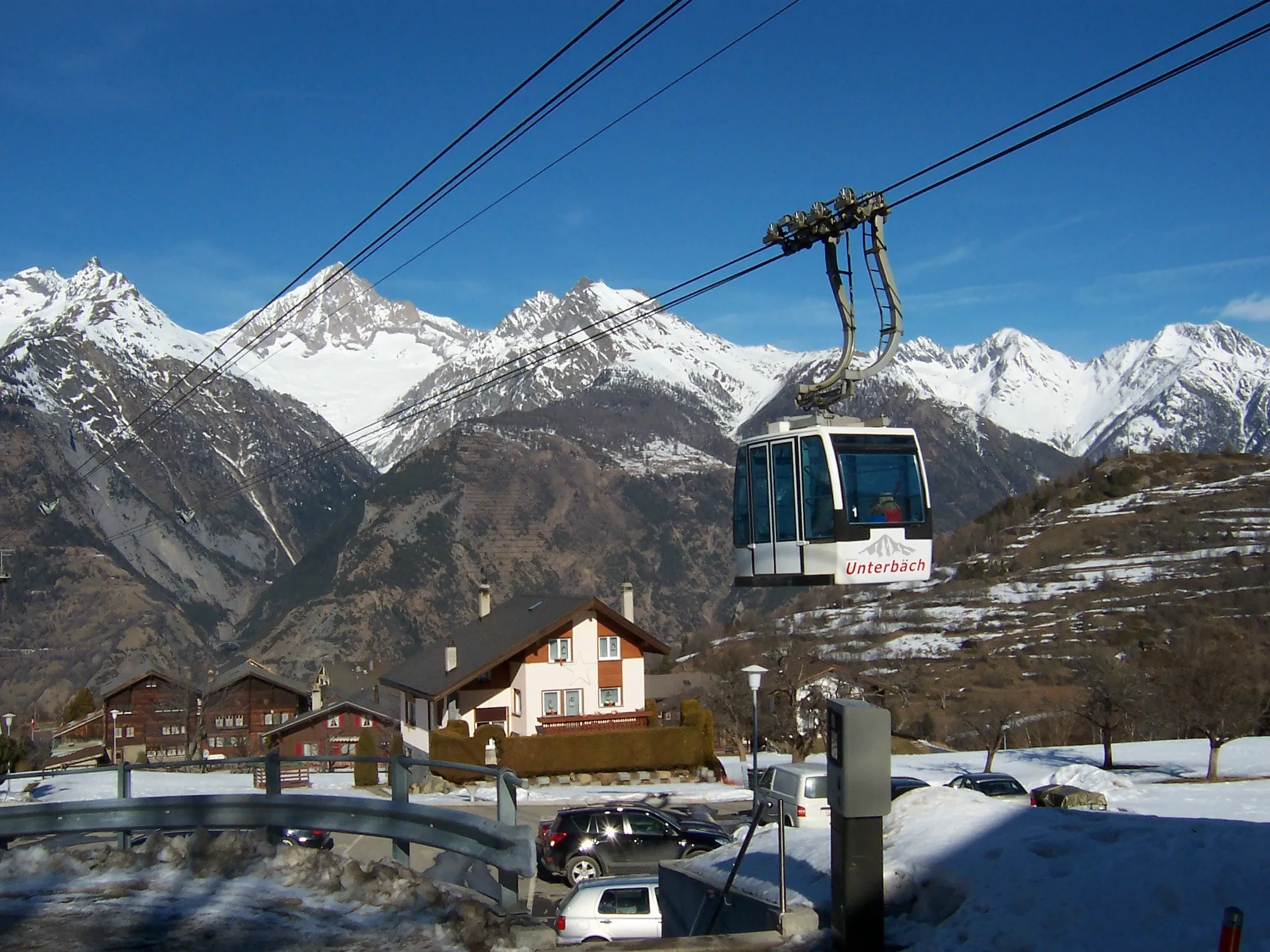
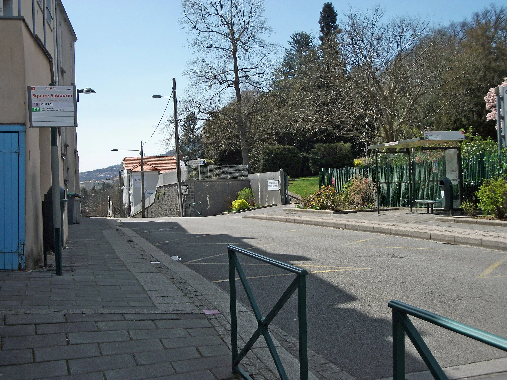
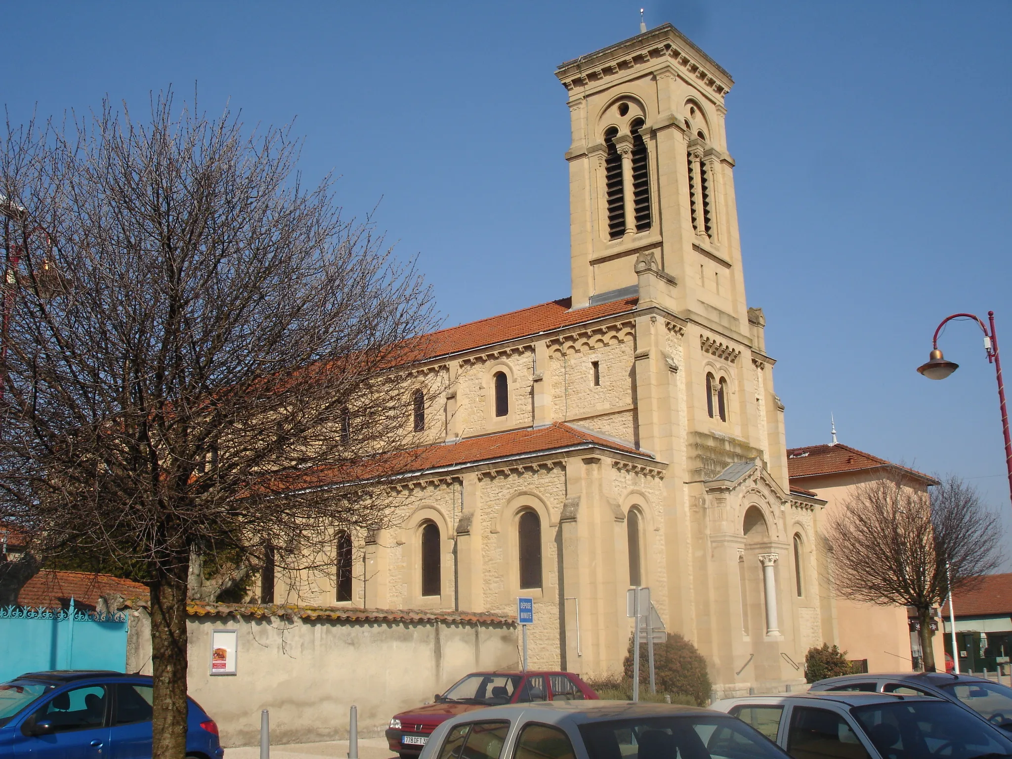
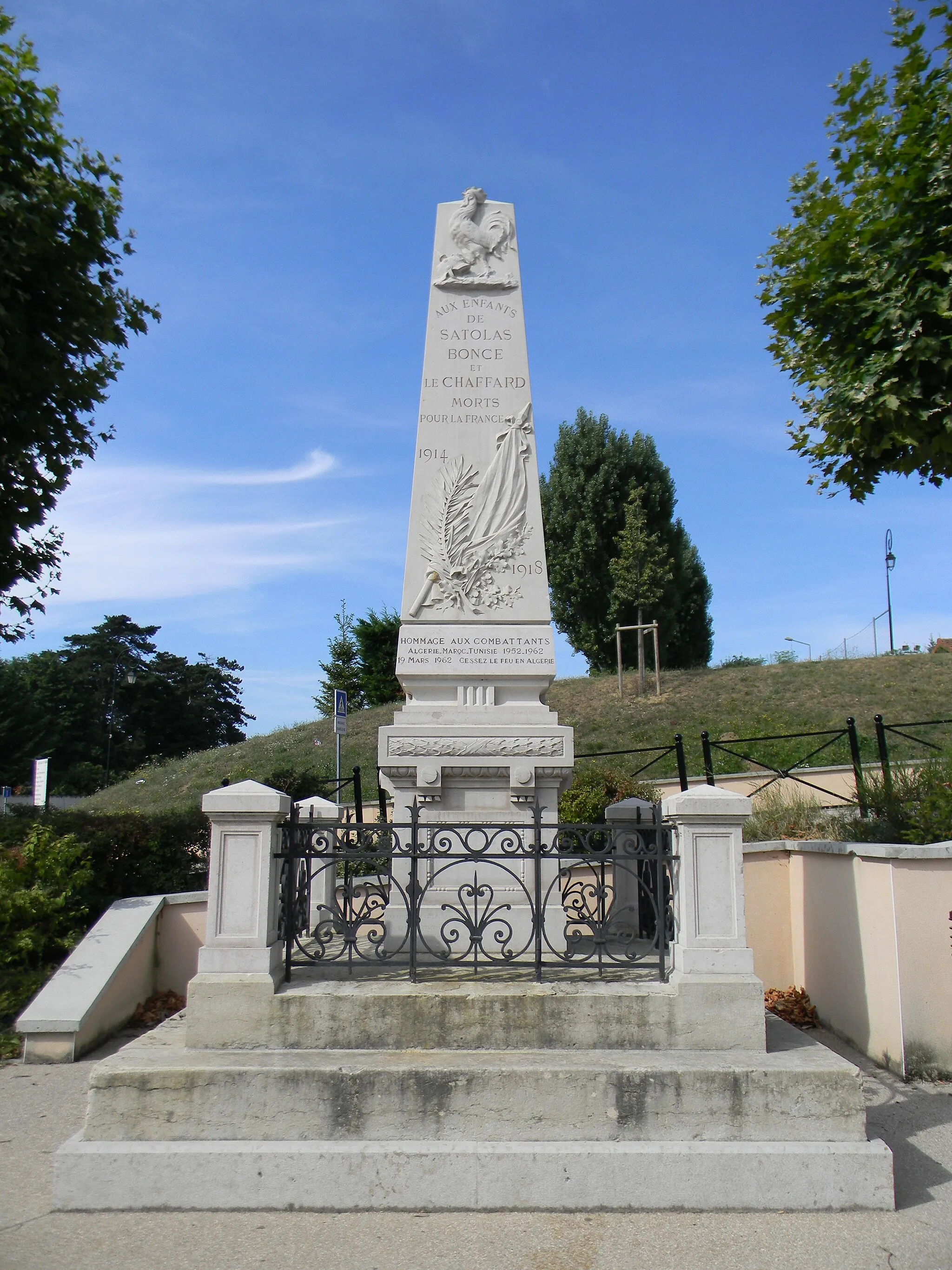
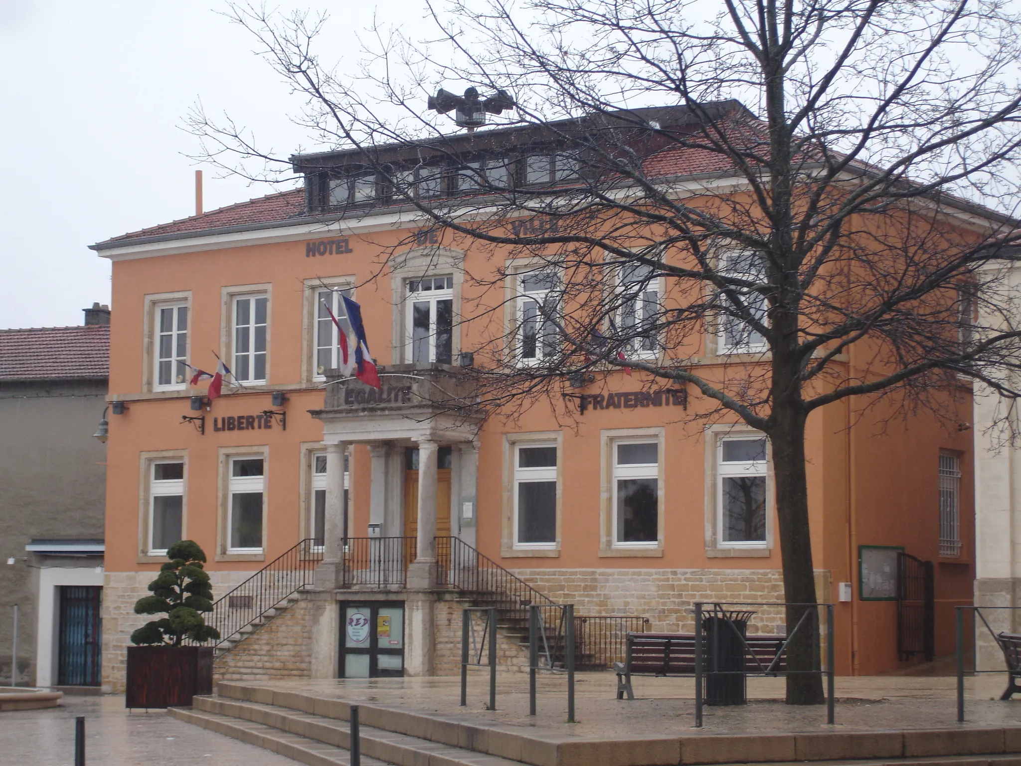
Saint-Laurent-de-Mure, situated in the Rhône-Alpes region of France, offers a variety of cycling options for road and gravel cyclists. The locality boasts beautiful countryside scenery with rolling hills and quiet roads, providing an excellent environment for leisurely rides. One of the must-visit spots for cyclists in this area is the Col du Vercors, a challenging climb that attracts cycling enthusiasts from around the world. With its cycling-friendly atmosphere and stunning landscapes, Saint-Laurent-de-Mure is a fantastic destination for cyclists of all levels.
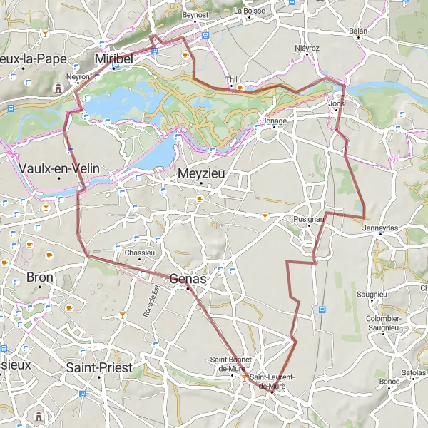
A gravel route from Genas to Saint-Laurent-de-Mure for adventurous cyclists
This gravel round-trip cycling route offers an adventurous ride for those looking to explore off-road paths. Starting in Genas, you will cycle through Saint-Maurice-de-Beynost, Thil, Jons, and finally arrive at Saint-Laurent-de-Mure. The scenic route takes you through diverse landscapes, including forests, riversides, and open fields. It is suitable for experienced gravel cyclists who enjoy the thrill of off-road adventures.
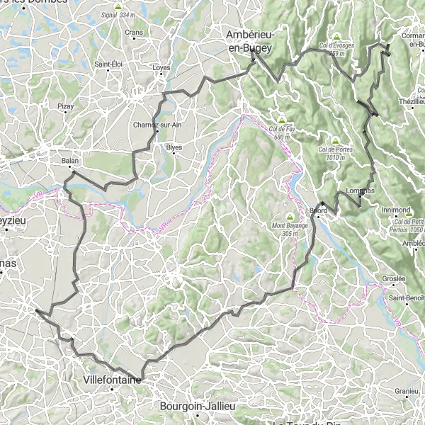
A challenging route from Villette-d'Anthon to Saint-Quentin-Fallavier with scenic views and historic towns
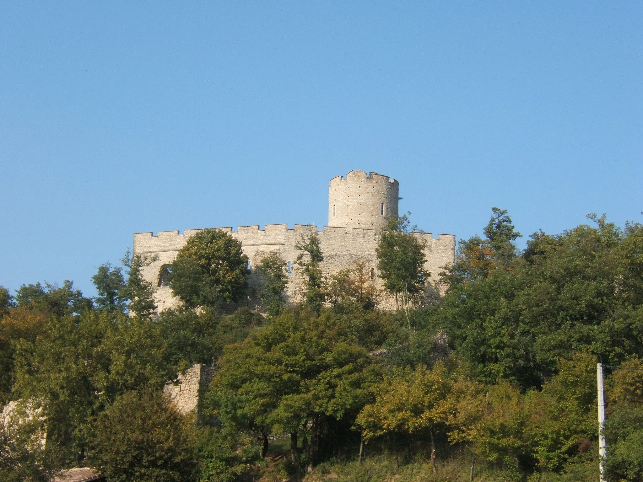
This round-trip cycling route offers a challenging ride for experienced cyclists. Starting in Villette-d'Anthon, you will journey through Charnoz-sur-Ain, Ambérieu-en-Bugey, Argis, Hostiaz, Lompnas, Briord, Trept, and finally arrive at Saint-Quentin-Fallavier. Along the way, you will pass by picturesque landscapes, ancient castles, and charming towns. The route is known for its beautiful natural views and historic landmarks.

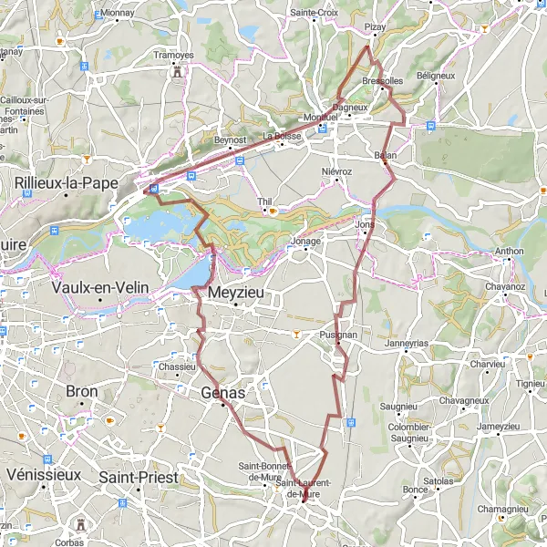
Scenic gravel route from Saint-André-de-Corcy to Pusignan
This gravel round-trip cycling route showcases the natural beauty of the Saint-André-de-Corcy to Pusignan region. Starting in Saint-André-de-Corcy, you will pass by panoramic views at St Barthélémy, Montluel, before reaching Pusignan. The route offers a mix of challenging climbs, fast descents, and serene countryside roads. Immerse yourself in the picturesque landscape as you pedal through rolling hills and admire the stunning views.
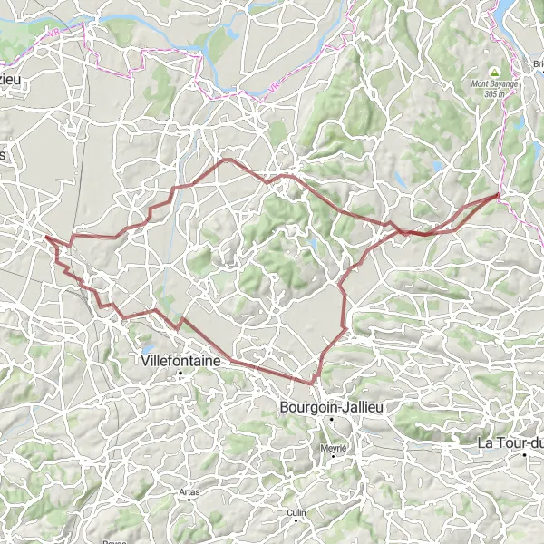
Embark on a thrilling gravel biking experience from Saint-Laurent-de-Mure to Miribel.
Experience the thrill of off-road cycling on this gravel route from Saint-Laurent-de-Mure to Miribel. With a distance of 66 kilometers and an elevation gain of 314 meters, this route is suitable for experienced riders looking for a challenging adventure. The route takes you through diverse terrains, offering a mix of challenging climbs and fast descents. Rated with a difficulty level of 4 and an epicness score of 3, this trail is perfect for gravel enthusiasts seeking a memorable biking experience. Along the way, you can explore the highlights mentioned below:
Gravel Adventure
Embark on an exhilarating gravel adventure through scenic landscapes
Experience the thrill of off-road cycling with the Gravel Adventure route near Saint-Laurent-de-Mure. This 82-kilometer long route, with a challenging ascent of 380 meters, is perfect for gravel bikers seeking an exciting adventure. You will encounter diverse terrain and stunning vistas that will leave you in awe.
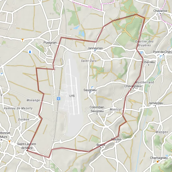
Embark on a relaxing cycling escape amidst picturesque countryside
Take a break from the city and enjoy a peaceful cycling escape through picturesque countryside with the Pusignan Escape route. With a distance of 36 kilometers and a gentle ascent of 178 meters, this gravel cycling route near Saint-Laurent-de-Mure is suitable for cyclists of all levels. Embrace the serenity of nature and the rustic beauty of the region.
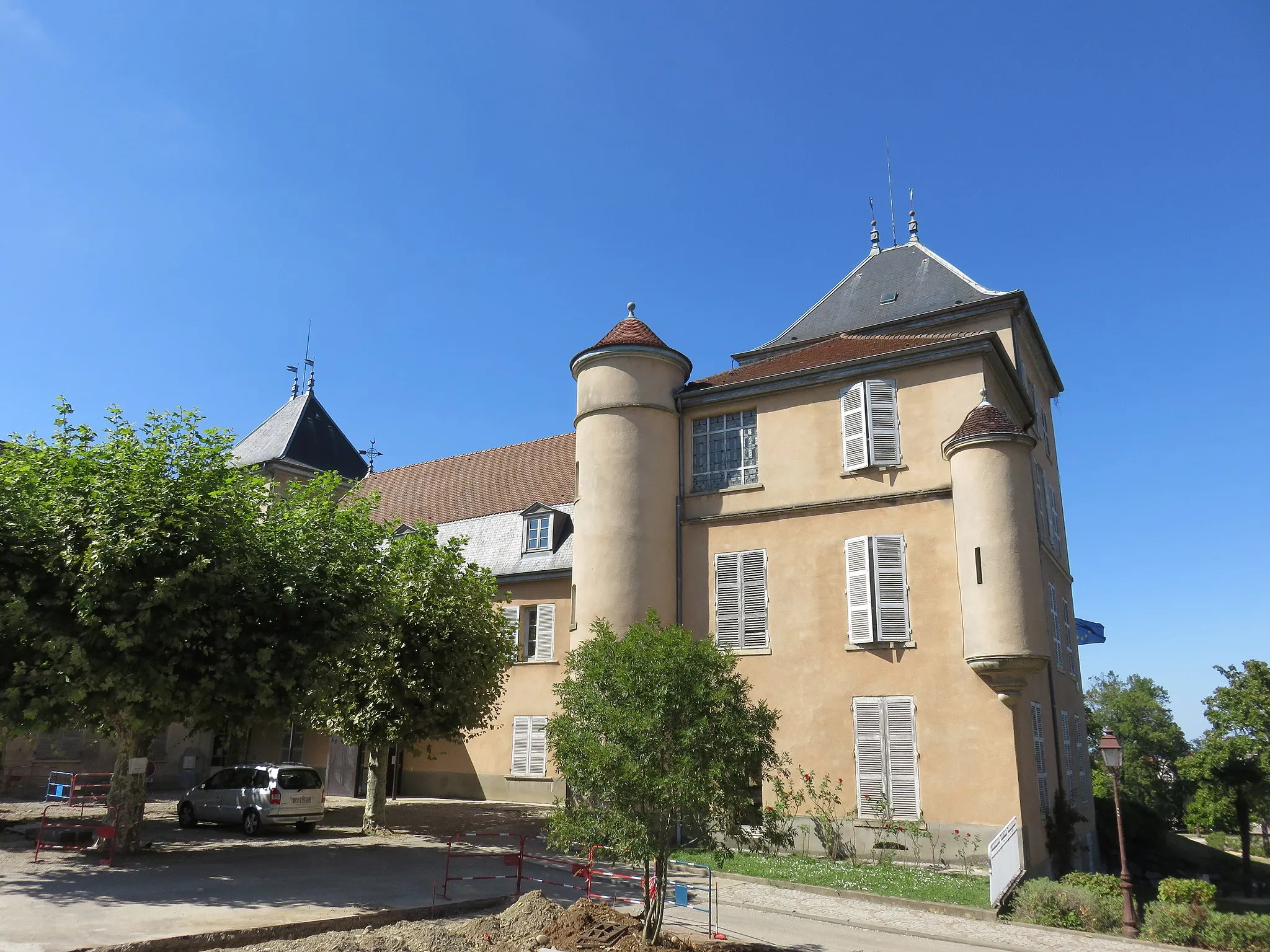
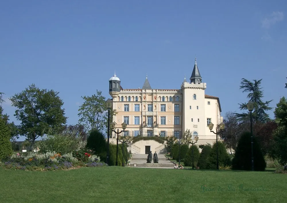
Châteaux Exploration

Discover the rich history of the Rhône-Alpes region through enchanting châteaux
Immerse yourself in the cultural and historical heritage of the Rhône-Alpes region with the Châteaux Exploration route. This 65-kilometer long road cycling route, with an ascent of 686 meters, takes you on a journey through stunning landscapes and magnificent châteaux. The route begins near Saint-Laurent-de-Mure and is recommended for history enthusiasts and cycling enthusiasts alike.
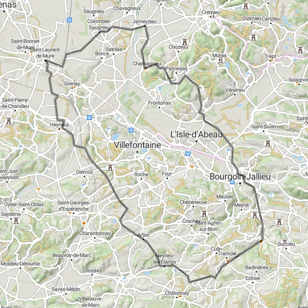
Experience the beauty of the Rhône-Alpes region on this road cycling tour.
This road cycling tour from Saint-Laurent-de-Mure to Heyrieux offers cyclists a breathtaking experience through the Rhône-Alpes region. With a distance of 82 kilometers and an elevation gain of 885 meters, this route is ideal for well-trained amateur cyclists. The tour takes riders through picturesque countryside landscapes, charming villages, and rolling hills. Rated with a difficulty level of 5 and an epicness score of 4, this road cycling tour provides a challenging yet rewarding journey. Along the way, you can discover the highlights mentioned below:
Côtes-d'Arey Challenge
Conquer challenging climbs and enjoy magnificent views along the way
Embark on a challenging 102-kilometer road cycling adventure through the Côtes-d'Arey region. With a total ascent of 1204 meters, this route starting near Saint-Laurent-de-Mure is not for the faint-hearted. Experience the thrill of conquering steep climbs while being rewarded with breathtaking views of the natural beauty that surrounds you.
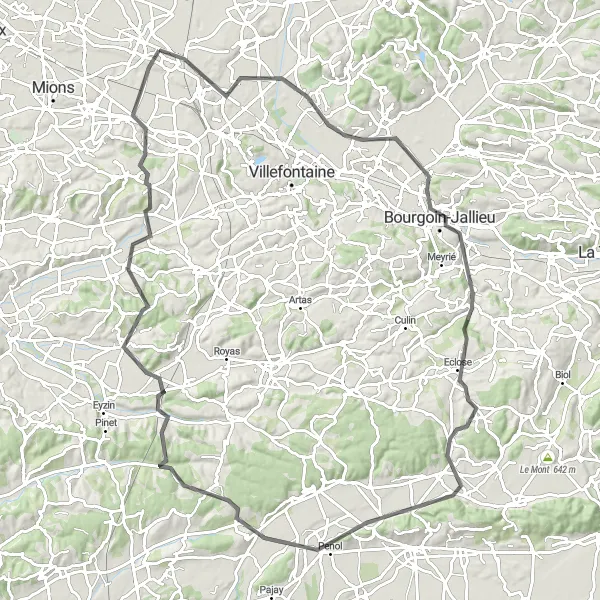
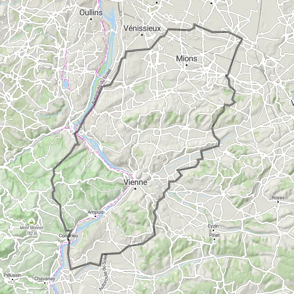
Embark on an epic road cycling journey through picturesque landscapes.
Embark on an epic road cycling journey from Saint-Laurent-de-Mure to Oytier-Saint-Oblas. This stunning route covers a total distance of 104 kilometers and an ascent of 1047 meters. Suitable for experienced cyclists seeking a challenging adventure, this route takes riders through scenic landscapes and charming villages. With a difficulty level of 5 and an epicness score of 5, this road cycling journey is perfect for those seeking legendary climbs and beautiful cycling spots. Along the way, you can explore the highlights mentioned below:
Cycling routes nearby:

Nearby regions: