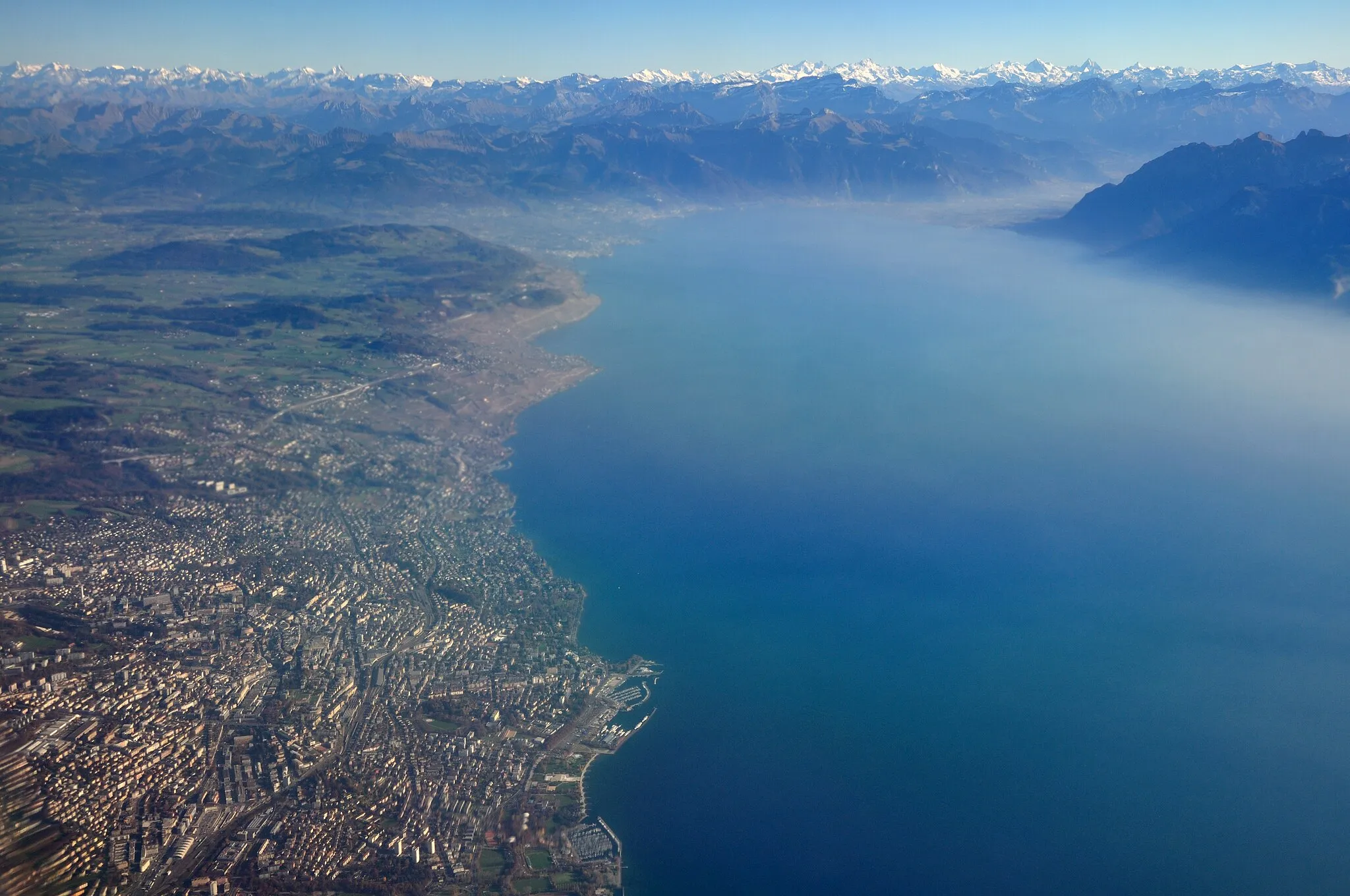
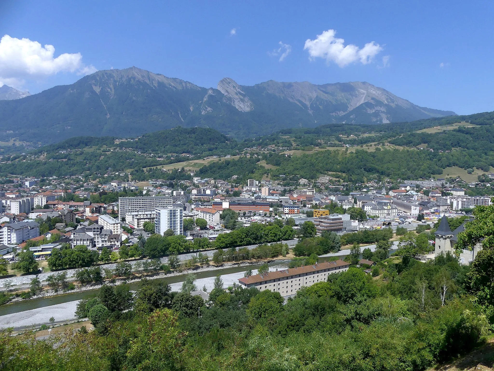
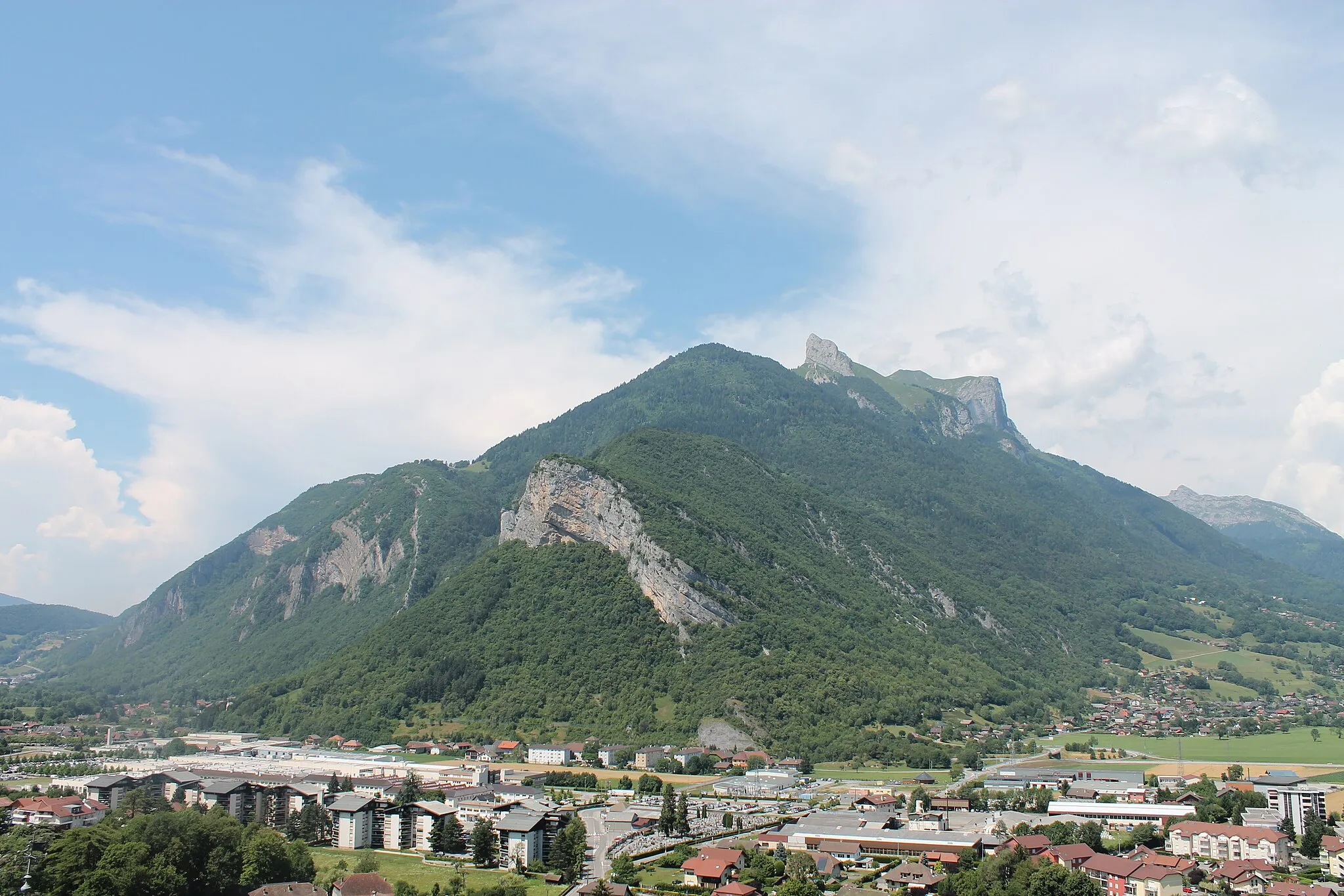
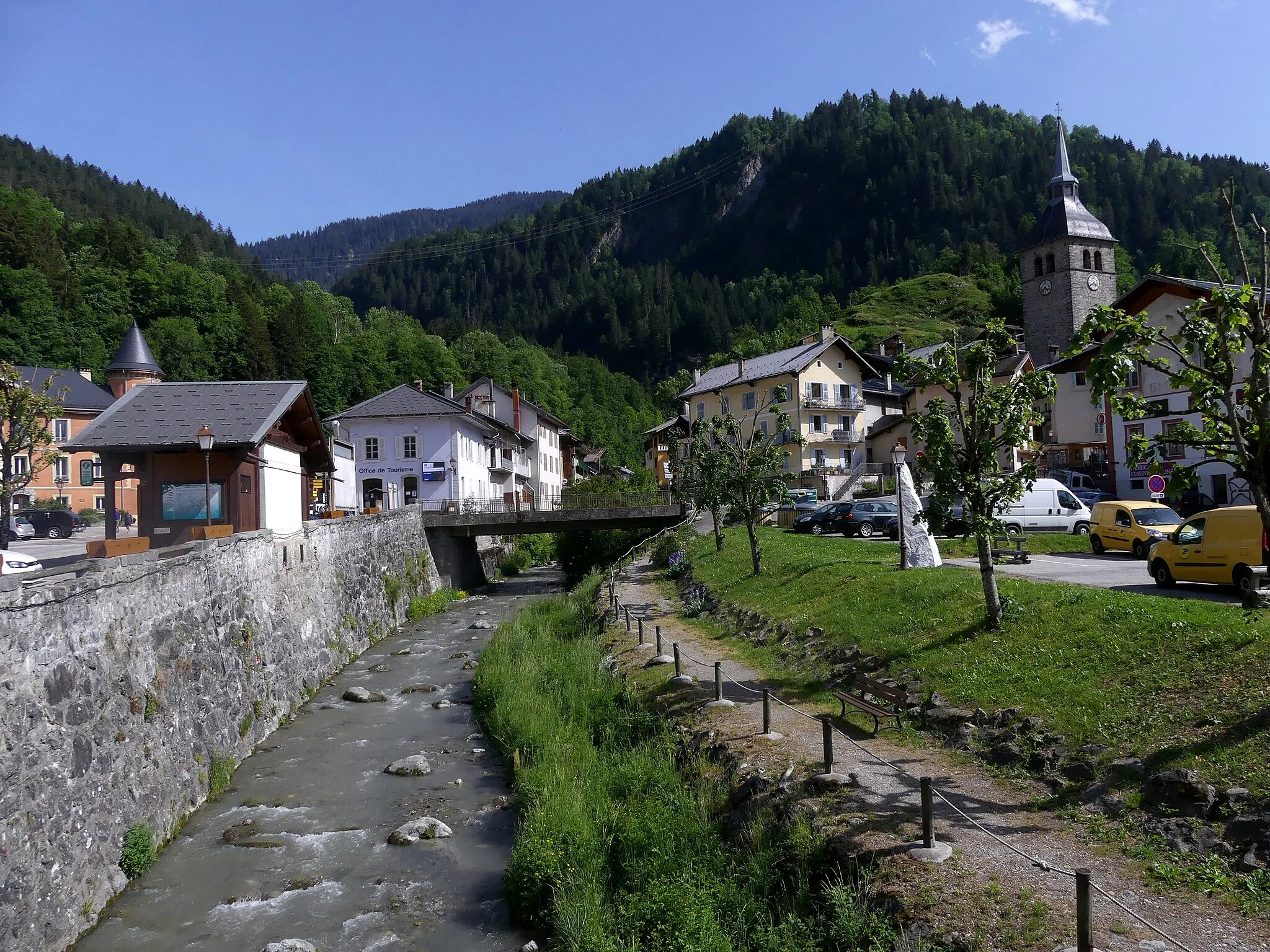
Base yourself in Ugine for epic cycling in the French Alps.
Cycling routes from Ugine
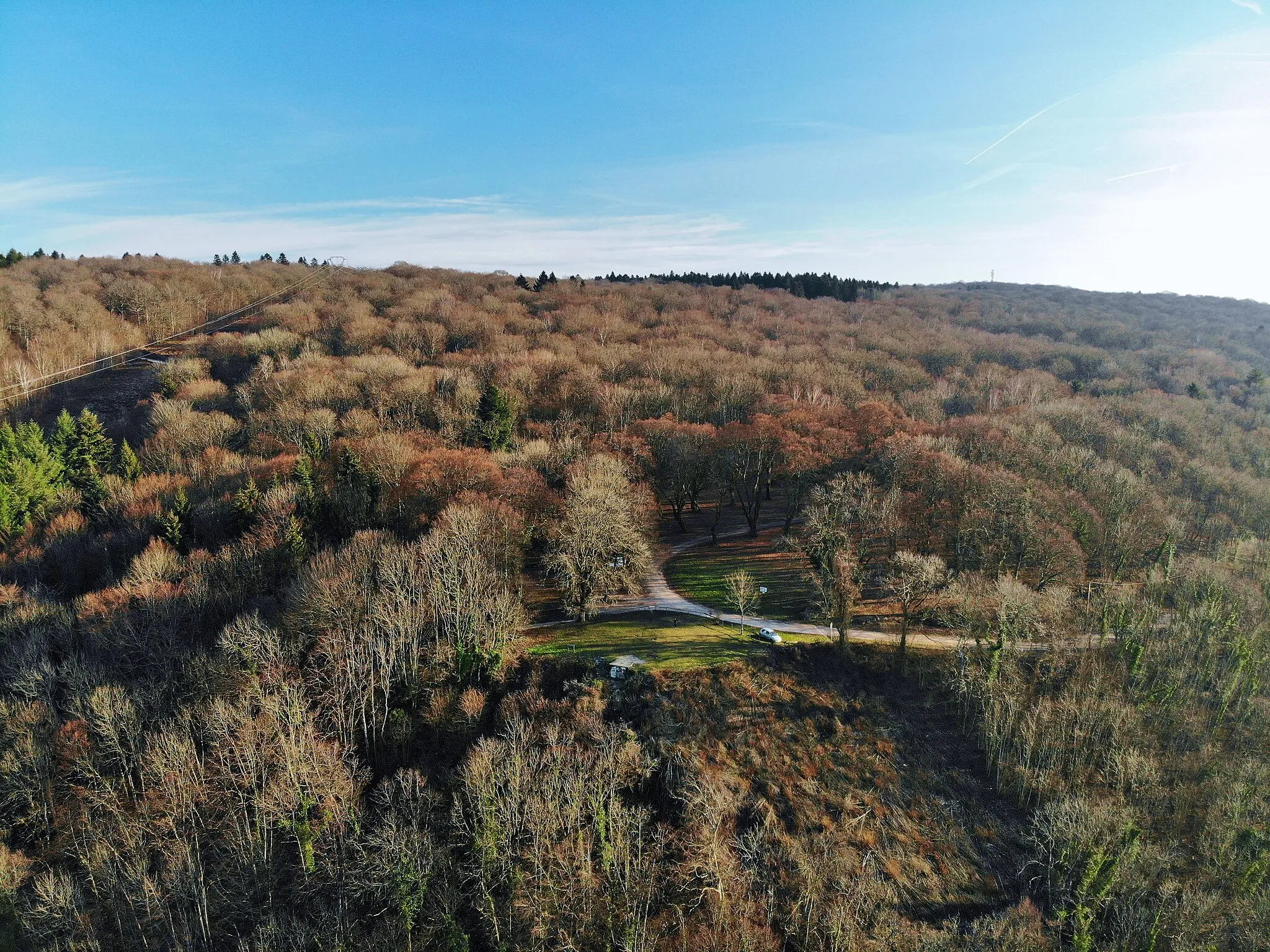
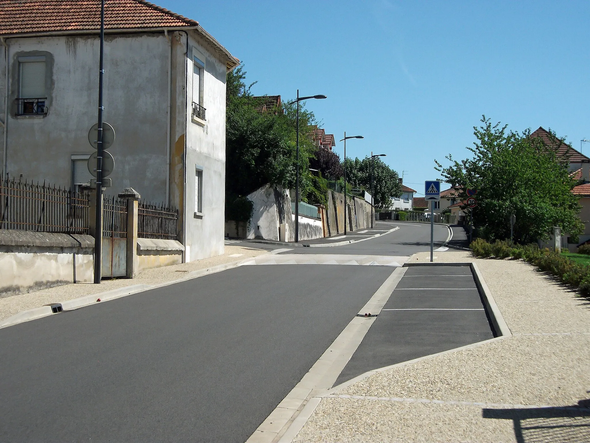
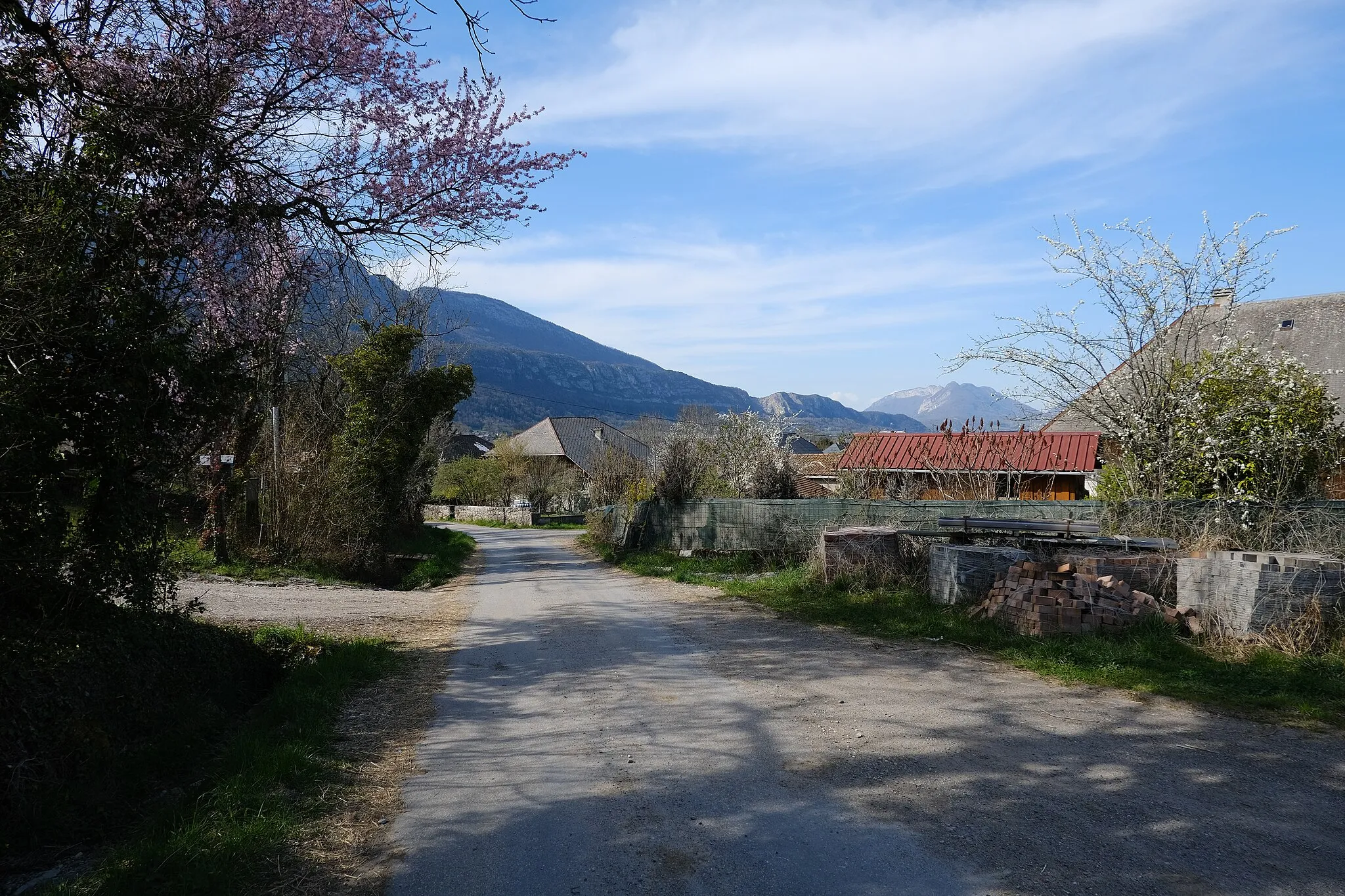
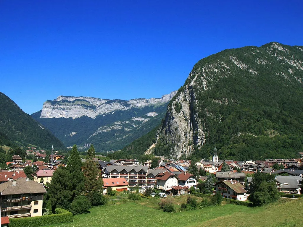
Ugine is a locality located in the Rhône-Alpes region of France. With its close proximity to the French Alps, it serves as an excellent base for both road and gravel cyclists looking for challenging climbs and thrilling descents. The area offers a network of well-maintained roads suitable for road cycling, including routes that lead to nearby iconic mountains like Albertville and Annecy. Moreover, gravel cyclists can explore the extensive off-road paths surrounding Ugine, such as the Voie Verte or Chemin de Saint-Jacques. Overall, Ugine provides numerous opportunities for cyclists to enjoy both exhilarating and scenic rides.
Alpine Adventure

Embark on an alpine adventure with challenging climbs and breathtaking vistas.
The Alpine Adventure is a challenging road cycling route that takes you through the heart of the Alps, offering unparalleled natural beauty and adrenaline-pumping climbs. With a total ascent of 2,978 meters and a distance of 118 kilometers, this route is demanding but rewarding for experienced cyclists seeking a true challenge. Along the way, you'll pass through picturesque villages like Serraval and Saint-Jean-de-Sixt, each offering unique charms and glimpses into local culture. Highlights include the Roc de Nantbellet, Col de la Colombière, and the iconic Côte de Megeve, each providing unforgettable panoramic views and thrilling cycling experiences.
Scenic Thrill Ride
A thrilling road cycling route with stunning viewpoints along the way.
The Scenic Thrill Ride is a shorter road cycling route that packs a punch with its steep climbs and sweeping views. Covering a total distance of 42 kilometers and ascending 254 meters, this route is perfect for cyclists seeking a quick adrenaline rush. Starting near Ugine, you'll pass through picturesque villages like Marlens and Roc de Viuz, offering glimpses of traditional French architecture and stunning natural beauty. Highlights include attractions like the Roc de Viuz, La Serraz, and the Fort de Lestal, each offering unique insights into the region's history and charm.
Gravel Escape

Explore the scenic beauty of Rhône-Alpes on this adventurous gravel route.
The Gravel Escape route offers an exhilarating adventure for gravel cycling enthusiasts seeking to explore the natural beauty of Rhône-Alpes. Spanning 60 kilometers and ascending 2,555 meters, this route takes you through stunning landscapes and off-the-beaten-path terrain. Starting near Ugine, you'll venture through picturesque villages like Notre-Dame-de-Bellecombe and Praz-sur-Arly, each offering unique charms and opportunities to immerse yourself in local culture. Highlights of this route include the idyllic village of Notre-Dame-de-Bellecombe, the Col des Saisies, and the scenic Col de la Forclaz, each showcasing the region's natural splendor and providing memorable cycling experiences.
Serene Countryside Ride
A peaceful and picturesque cycling route through the countryside near Ugine.
This round-trip cycling route near Ugine takes you on a serene journey through the beautiful Rhône-Alpes region of France. With a total distance of 136 kilometers and an elevation gain of 3456 meters, this route is suitable for well-trained amateur cyclists looking for a challenging adventure. Along the way, you'll encounter several highlights that add excitement and variety to your ride.
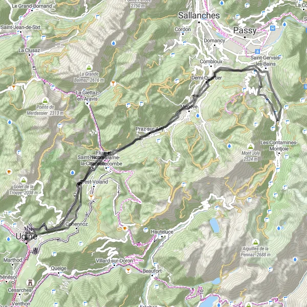
Experience the stunning route from Ugine to Flumet
This round-trip cycling route takes you from Ugine to Flumet and back, covering a distance of 83 km with an ascent of 2540 meters. The route is specially designed for road biking enthusiasts, offering breathtaking views of the Rhône-Alpes region. The difficulty level is moderate, suitable for well-trained amateur cyclists. The route has an epicness score of 4, offering a thrilling experience through charming towns and picturesque landscapes.
Leschaux Loop
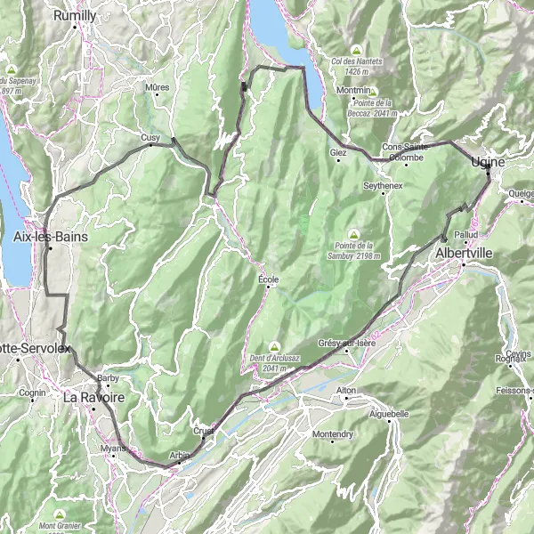
A scenic loop through Leschaux with stunning views of the Belledonnes and Combe de Savoie.
The Leschaux Loop is a challenging road cycling route that takes you through beautiful scenery and offers breathtaking views. This route is suitable for well-trained amateur cyclists who are looking for a challenging but enjoyable ride. With a total ascent of 2,135 meters and a distance of 147 kilometers, this loop will test your endurance and climbing skills. Along the way, you'll pass through charming villages like Saint-Pierre-d'Albigny and Montailleur. Highlights of this route include the Thénésol village, Col du Vorger, and the scenic viewpoint of Belvédére des Calloudes.
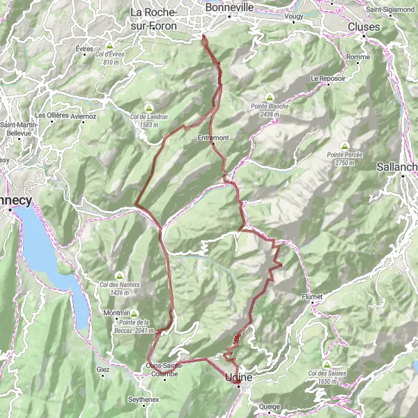
Embark on an exciting gravel adventure starting from Ugine
Experience the ultimate gravel adventure with the Ugine Gravel route, starting near Ugine and covering a distance of 117 km with an ascent of 4054 meters. This route is perfect for adventurous souls looking to explore off-road trails and remote landscapes. The difficulty level is high, suitable for very well-trained amateur cyclists. With an epicness score of 4, this route offers breathtaking views and challenging terrains, making it a thrilling ride for gravel enthusiasts.
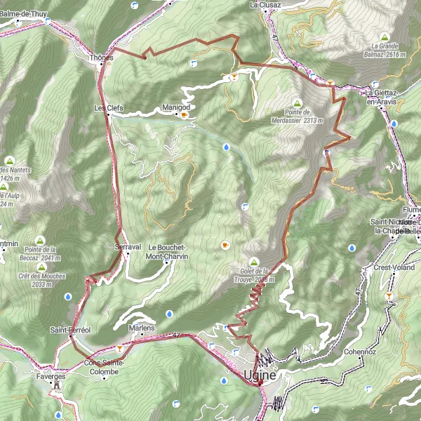
Embark on an exciting gravel adventure to Marlens
Explore the Marlens region with this exhilarating gravel cycling route, covering a distance of 75 km with an ascent of 2607 meters. Suitable for adventurous cyclists, this route offers thrilling off-road trails and beautiful natural surroundings. The difficulty level is moderate, suitable for well-trained amateur cyclists. With an epicness score of 4, this route guarantees an exciting biking experience through remote landscapes and charming villages.

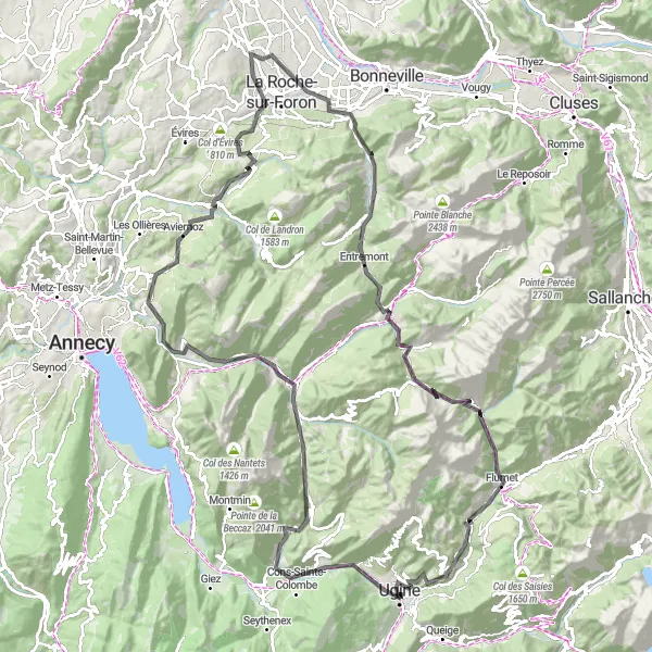
Ride through majestic mountains on this scenic cycling route near Ugine.
Embark on a breathtaking journey through the scenic Rhône-Alpes region of France with this round-trip cycling route starting near Ugine. Spanning a distance of 134 kilometers and featuring an ascent of 2344 meters, this route is perfect for well-trained amateur cyclists seeking a challenging yet rewarding adventure. As you pedal through this spectacular landscape, you'll encounter several highlights that add an extra layer of excitement to your ride.
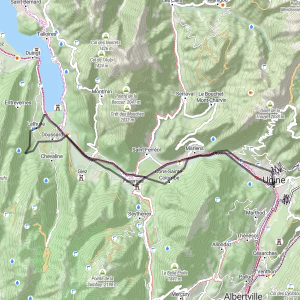
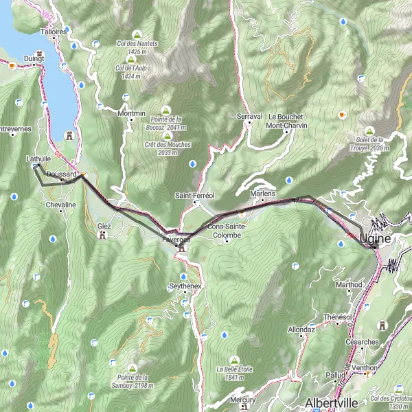
Discover the beauty of lakes and mountains on this cycling route near Ugine.
Experience the captivating beauty of the Rhône-Alpes region in France through this round-trip cycling route, starting near Ugine. With a manageable distance of 46 kilometers and an ascent of 441 meters, this route is ideal for cyclists looking to enjoy a leisurely ride along picturesque lakes and charming villages. Along the way, you'll encounter several highlights that enhance your cycling experience.
Cycling routes nearby:

Nearby regions: