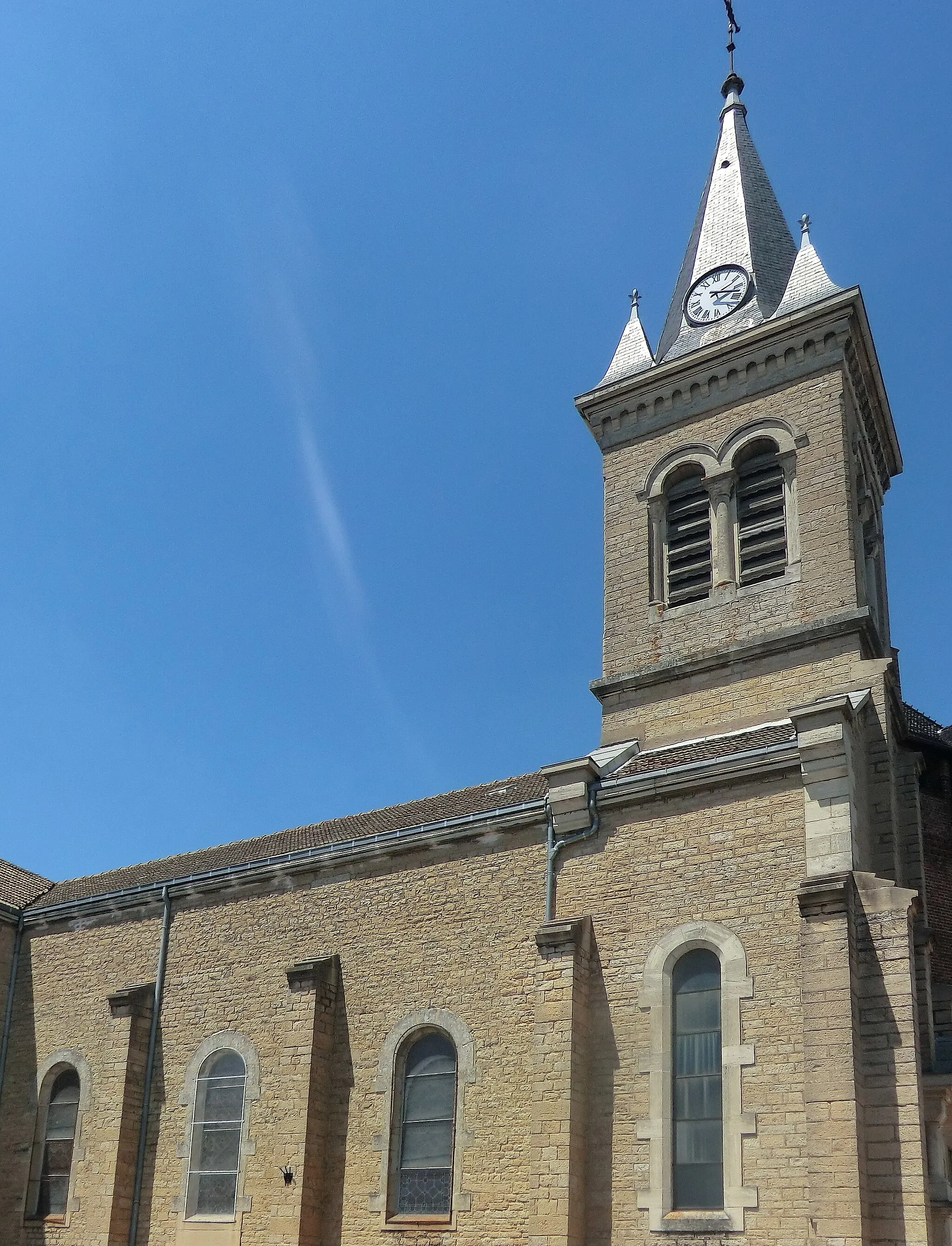
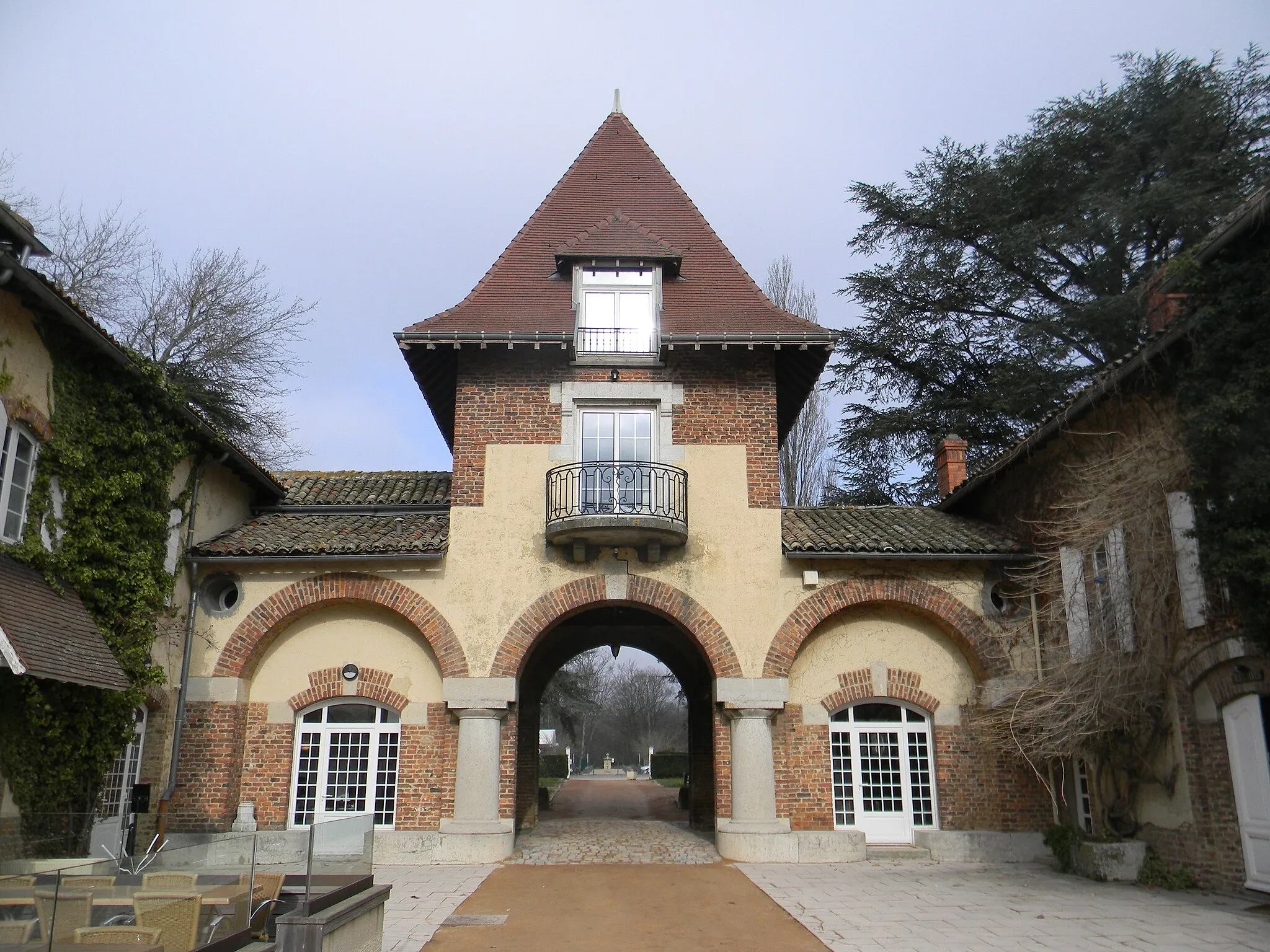
Exploring the Beauty of Villars-les-Dombes on Two Wheels
Cycling routes from Villars-les-Dombes
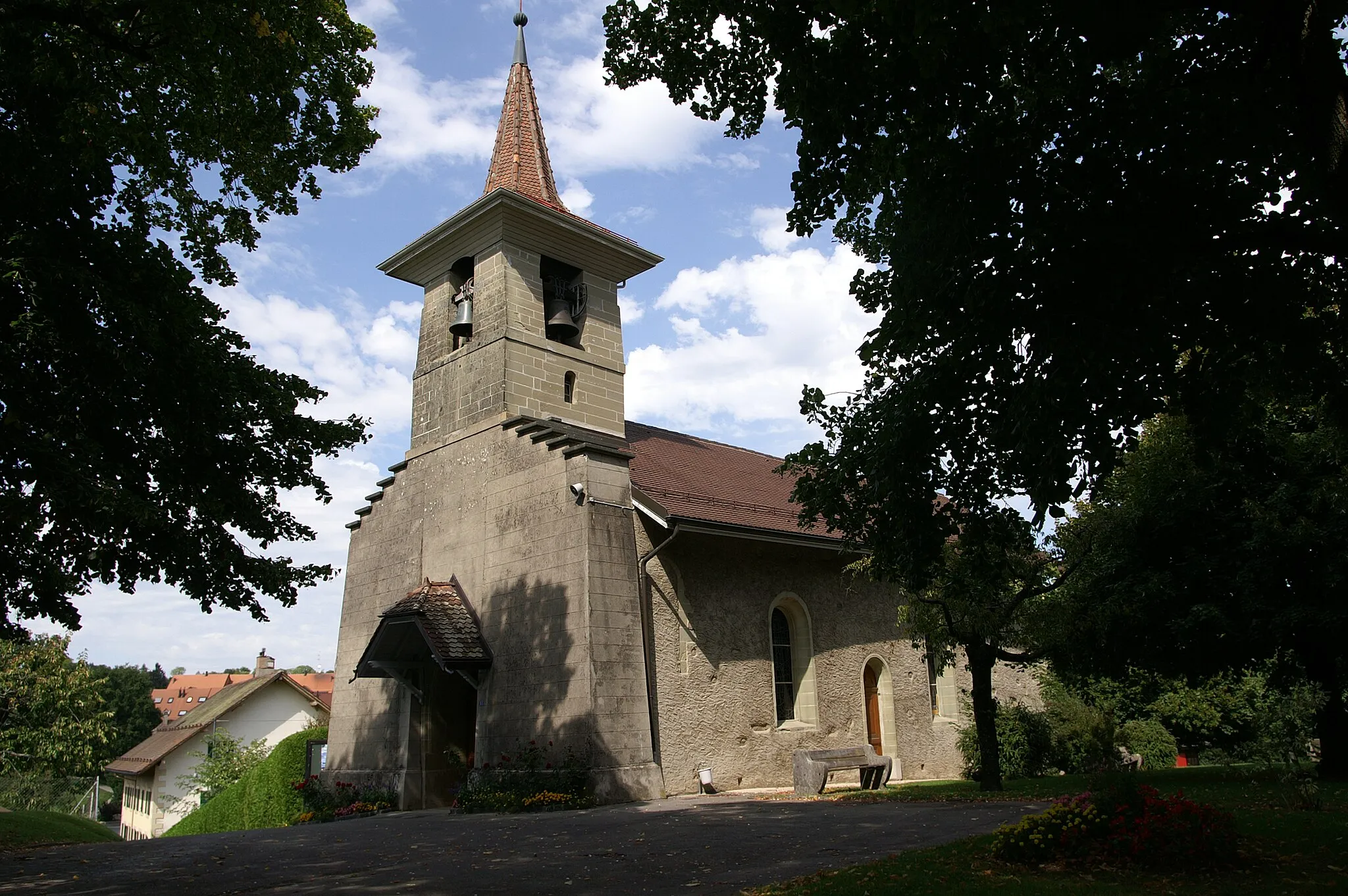
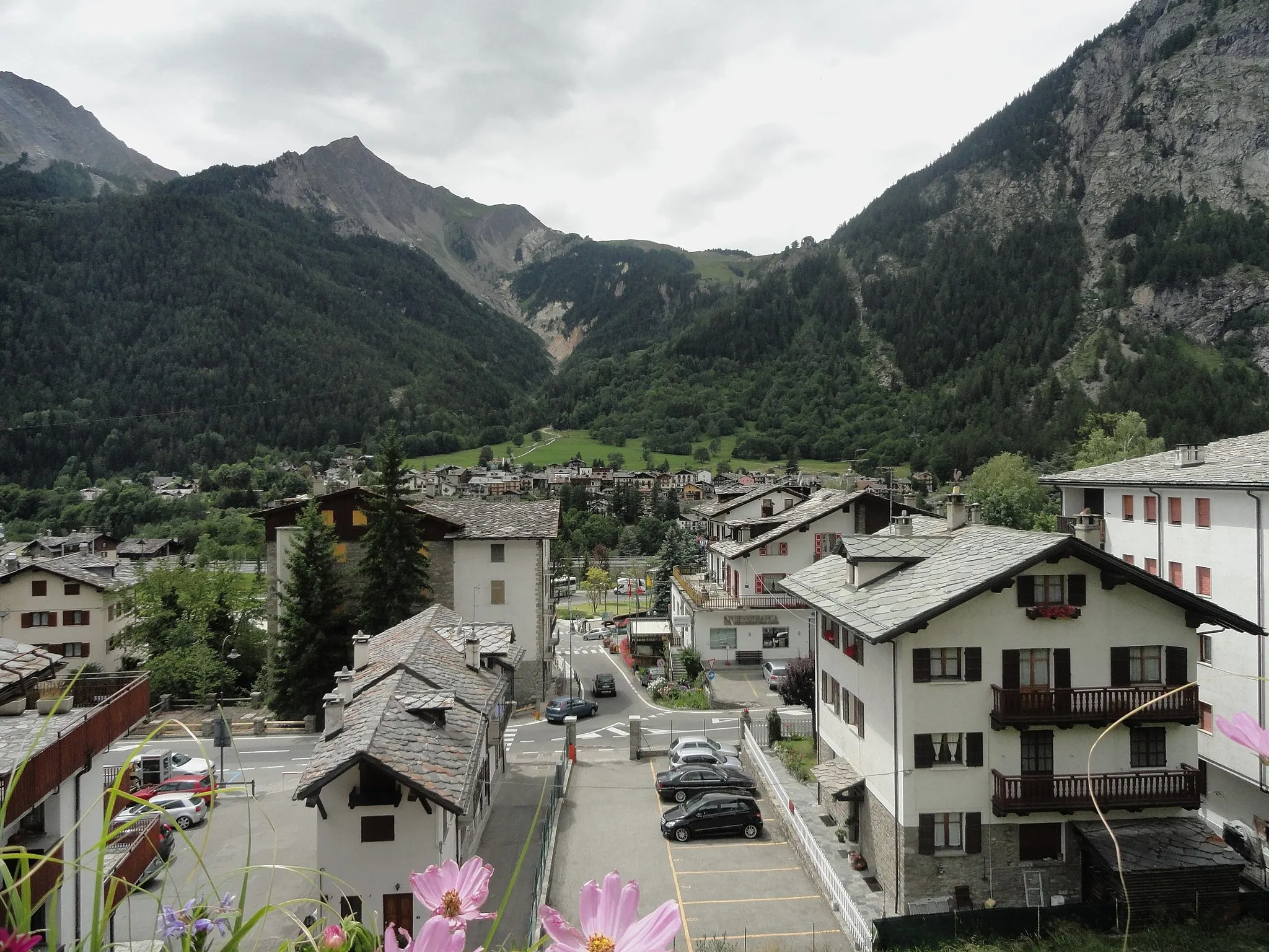
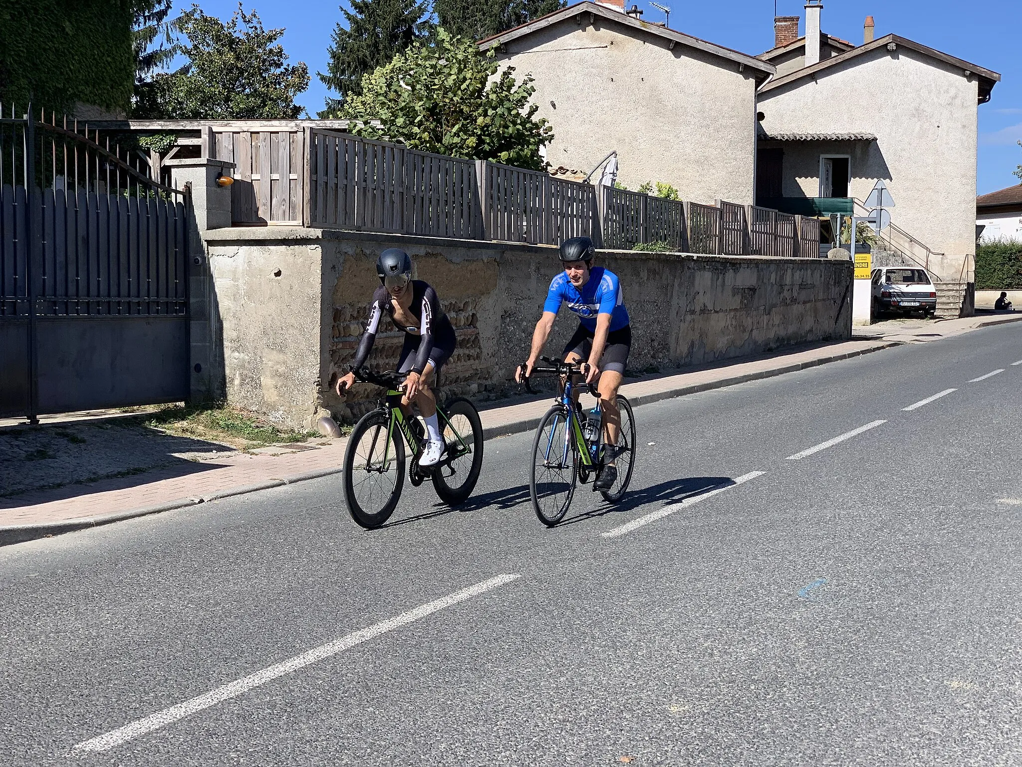
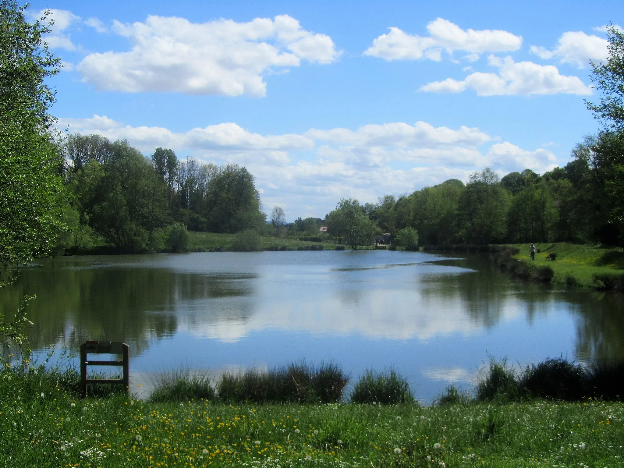
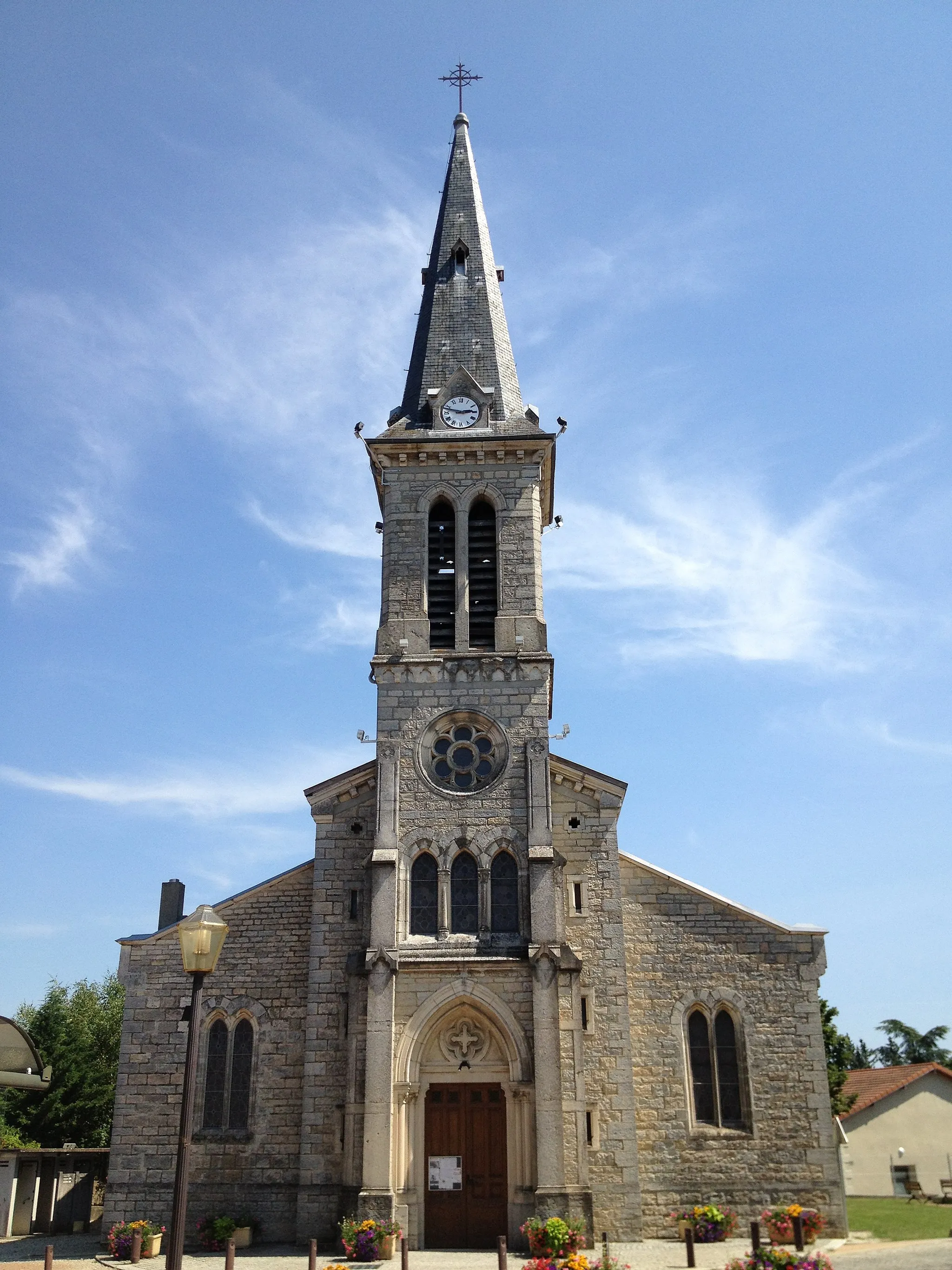
Villars-les-Dombes, located in the Rhône-Alpes region of France, is a delightful locality for road and gravel cycling. The scenic terrain surrounding Villars-les-Dombes includes rolling hills, dense forests, and picturesque lakes. Road cyclists can challenge themselves with the ascent to the nearby Col du Colombier or explore the beautiful Ain River valley. Gravel cyclists can venture into the Dombes plateau, which offers quiet and scenic off-road trails. With its diverse landscapes and cycling-friendly atmosphere, Villars-les-Dombes is a fantastic destination for cyclists of all levels.
Explore the beautiful countryside surrounding Villars-les-Dombes
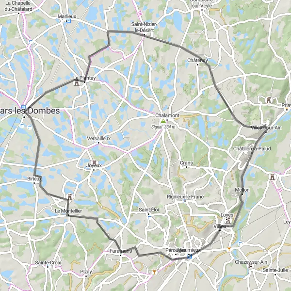
Discover the natural beauty and serenity of the Villars-les-Dombes countryside with this enjoyable round-trip cycling route. Measuring 61 km with an ascent of 224 meters, this route is suitable for cyclists of all levels. Pedal through idyllic landscapes, charming villages, and scenic spots, immersing yourself in the peaceful ambience of the region. Take time to visit the local attractions along the way, enhancing your cycling experience with cultural and historical discoveries.
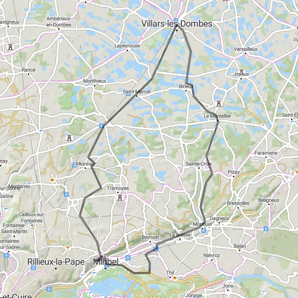
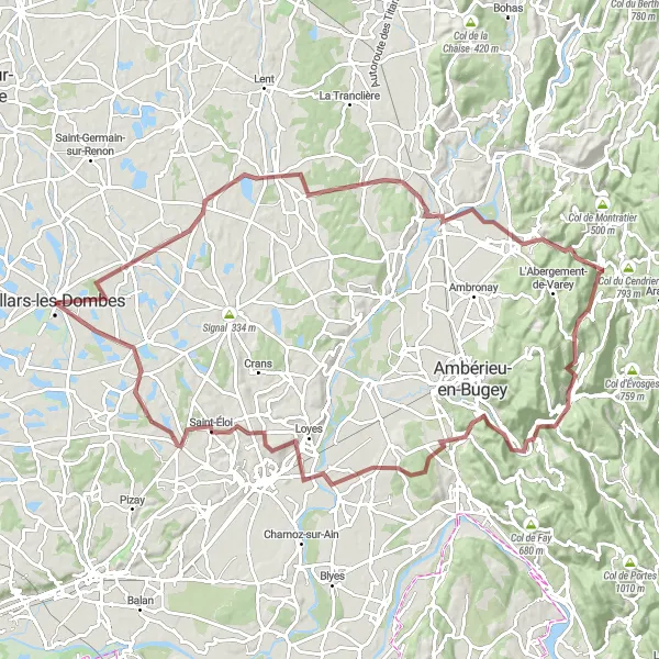
Birieux Gravel Loop
Ride through the scenic countryside near Villars-les-Dombes
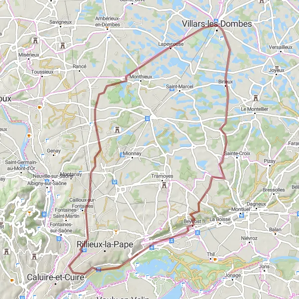
This gravel route offers a unique and picturesque ride through the beautiful Rhône-Alpes region. With a total ascent of 377 meters and a distance of 67 kilometers, this ride is suitable for intermediate cyclists. The route passes through highlights such as Saint-Maurice-de-Beynost, Sathonay-Camp, Monthieux, and ends in Villars-les-Dombes. The overall difficulty level is rated 3 out of 5, making it ideal for well-trained amateurs seeking a moderately challenging ride. Prepare to be amazed by the stunning landscapes and charming villages along the way.
Experience panoramic views and diverse landscapes on this cycling route
Embark on a 57 km round trip cycling route from Birieux to Miribel and experience the diverse landscapes of the Rhône-Alpes region. With an ascent of 245m, this route offers a moderate challenge suitable for intermediate cyclists. Highlights include the panoramic views from Panorama St Barthélémy, the charming village of La Boisse, and the picturesque town of Miribel. Don't miss the chance to visit Volière de contact, roussettes, where you can observe and interact with the friendly bats. This route combines stunning natural beauty with cultural attractions and is perfect for those seeking a memorable cycling adventure.
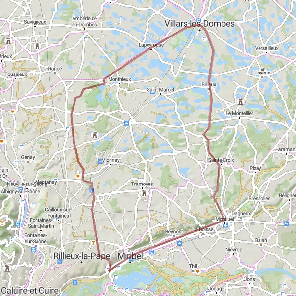
Explore the scenic beauty of Birieux on this thrilling gravel route near Villars-les-Dombes
Embark on an exhilarating gravel cycling adventure through picturesque landscapes and charming villages, with highlights including breathtaking panoramic views from St Barthélémy and a visit to the historic town of Civrieux. This route offers a moderate challenge for well-trained amateurs, with a total ascent of 278 meters over a distance of 60 kilometers. Prepare to be captivated by the beauty of the Rhône-Alpes region on this epic cycling journey.
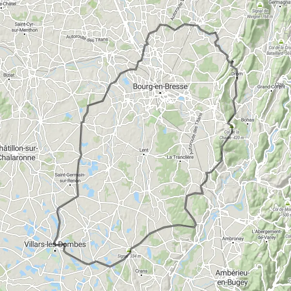
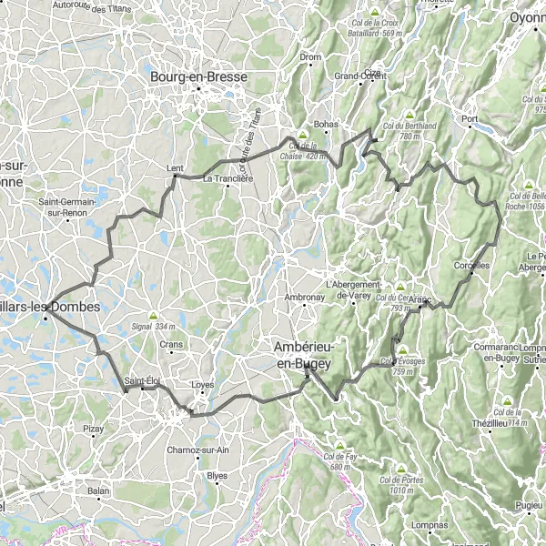
Cycle through beautiful villages and ascend Col de la Chaise
This round-trip cycling route starting near Villars-les-Dombes takes you through picturesque villages and breathtaking landscapes. With a total distance of 115 km and an ascent of 728m, it is a challenging but rewarding ride. The highlight of this route is Saint-Étienne-du-Bois, known for its charming streets and delicious local cuisine. Don't miss the opportunity to conquer the famous Col de la Chaise, offering stunning panoramic views at the top. Overall, this route offers a great mix of natural beauty and cultural attractions.
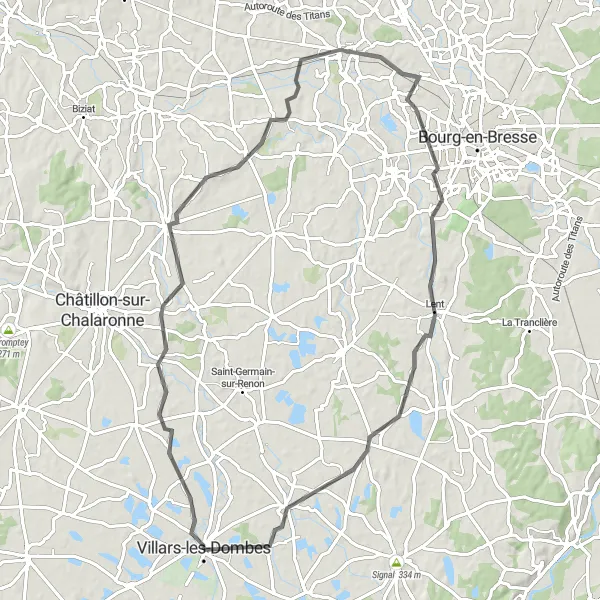
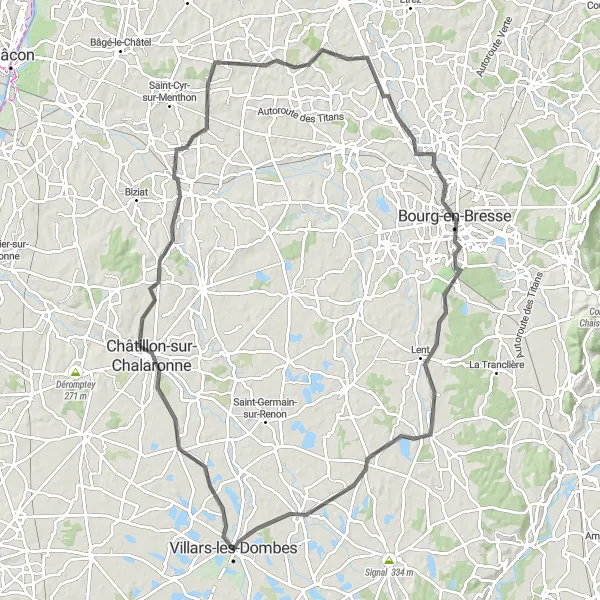
Enjoy a scenic road cycling route with rolling hills and charming towns
Embark on a delightful road cycling adventure with this route starting and ending in Villars-les-Dombes. With a total distance of 77 kilometers and an ascent of 355 meters, this ride is suitable for cyclists of all levels. Highlights of the route include Neuville-les-Dames, Polliat, Péronnas, and Le Plantay. The overall difficulty level is rated 2 out of 5, making it a great option for leisurely rides through the beautiful countryside. Take in the scenic views, discover charming towns, and enjoy the relaxed pace of this road cycling experience.
Conquer challenging climbs and enjoy panoramic views along this epic road cycling route
Experience a thrilling road cycling adventure with this challenging route that covers a distance of 156 kilometers and includes an ascent of 2050 meters. The ride takes cyclists through Le Plantay, Certines, Serrières-sur-Ain, Col de Ceignes, Maillat, Brénod, Col de la Berche, Col d'Évosges, Torcieu, Vue sur Vaux-en-Bugey, Leyment, and ends at Domaine du château de Joyeux. This route is recommended for experienced cyclists due to its difficulty level of 5 out of 5, which includes several demanding climbs and descents. Along the way, riders will be rewarded with breathtaking views and a sense of accomplishment.
Embark on a gravel adventure exploring the stunning landscapes near Villars-les-Dombes
For adventurers seeking a gravel cycling experience, this route is a perfect choice. With an ascent of 992 meters and a distance of 104 km, this route guarantees a thrilling ride through diverse terrains and enchanting landscapes. Explore picturesque villages and immerse yourself in nature's beauty as you cycle through the heart of the countryside. The challenging aspects of this route make it ideal for experienced cyclists who seek an epic adventure.
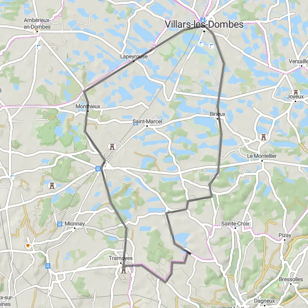
Cycle through scenic landscapes and visit charming villages along the way
Discover the beauty of the Rhône-Alpes region on this 42 km round trip cycling route from Villars-les-Dombes to Monthieux. With an ascent of 142m, this route is suitable for cyclists of all levels. Along the way, you will pass through the charming village of Birieux and enjoy breathtaking views of the surrounding countryside. Take a detour and visit the picturesque village of Tramoyes, where you can explore its historic streets and enjoy local cuisine. Monthieux offers a peaceful ambiance and opportunities for leisurely walks or cycling around Lac de Monthieux. Overall, this route is perfect for those who want to experience the beauty of nature and immerse themselves in the local culture.
A scenic road cycling route passing through beautiful towns in the Rhône-Alpes region
This road cycling route showcases the beauty of the Rhône-Alpes region, with a total ascent of 506 meters and a distance of 99 kilometers. Cyclists will have the opportunity to explore highlights such as Villars-les-Dombes, Châtillon-sur-Chalaronne, Saint-Genis-sur-Menthon, Attignat, Bourg-en-Bresse, Dompierre-sur-Veyle, and finally, Le Plantay. The difficulty level of this route is rated 4 out of 5, suitable for experienced cyclists with good fitness levels. Enjoy the scenic countryside and historic towns along the way, making this a memorable ride.
Cycling routes nearby:
Nearby regions: