Discover Berlin's cycling paradise in Grünau.
Cycling routes from Gruenau
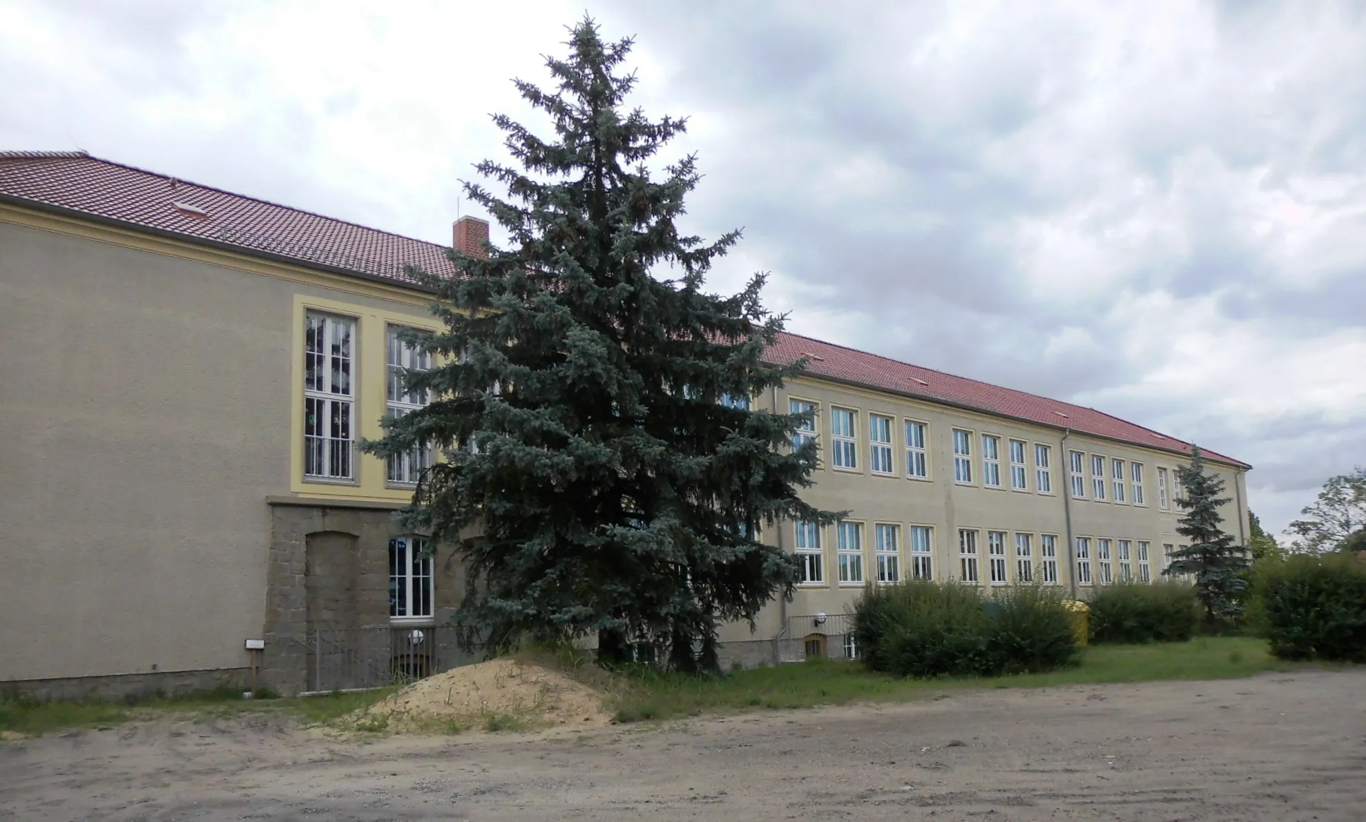
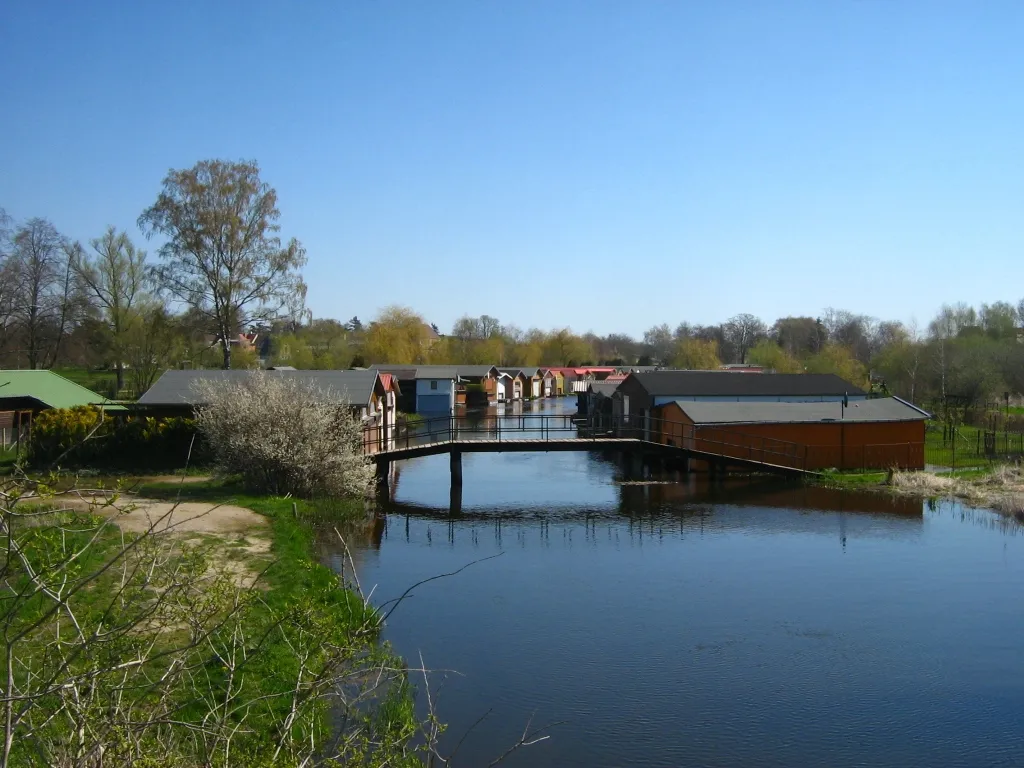
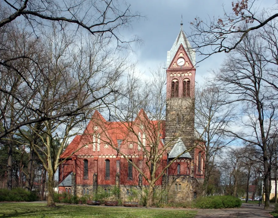
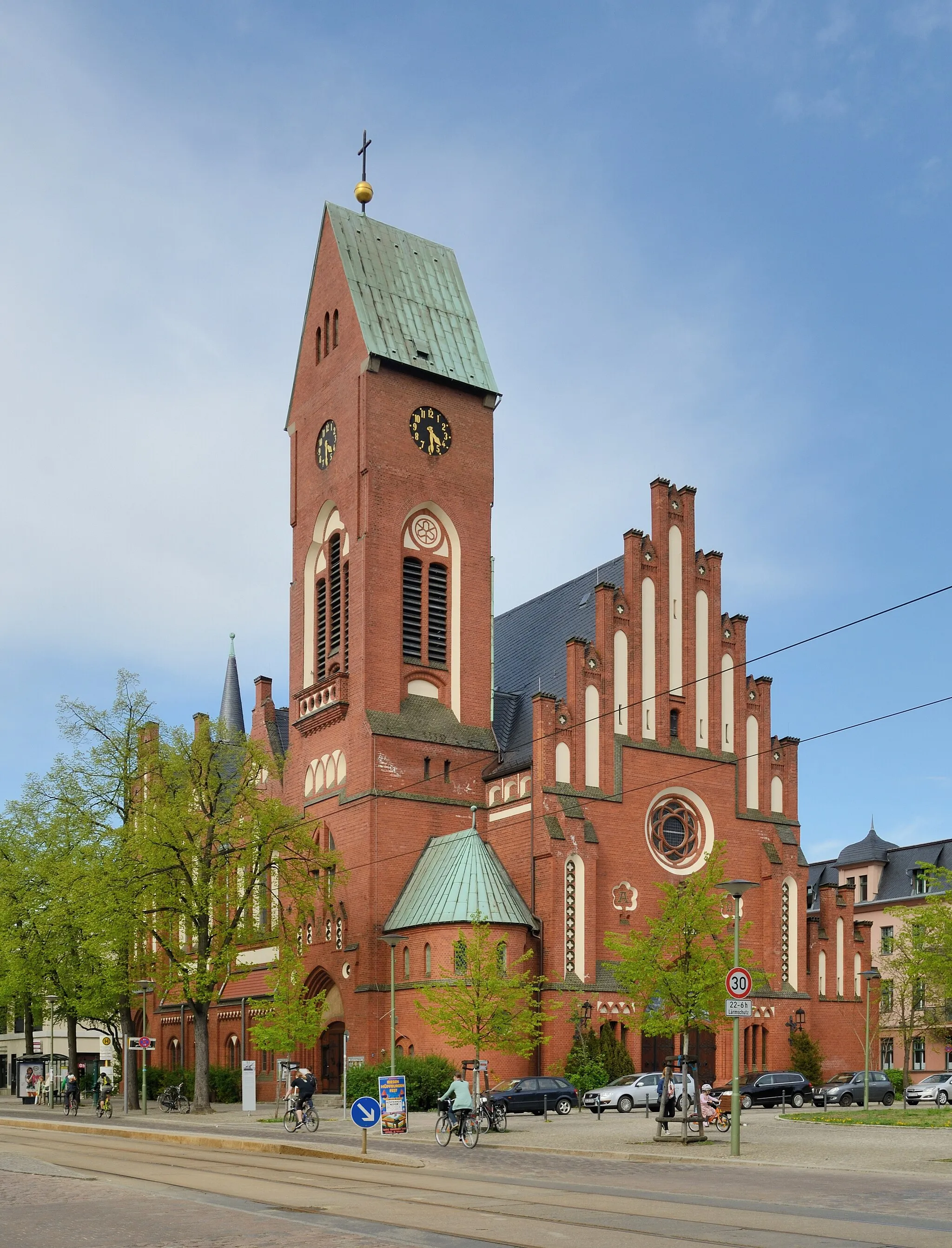
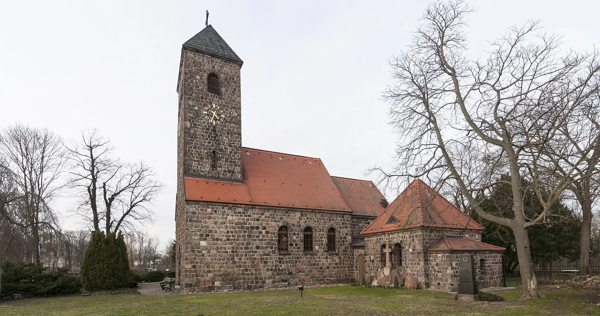
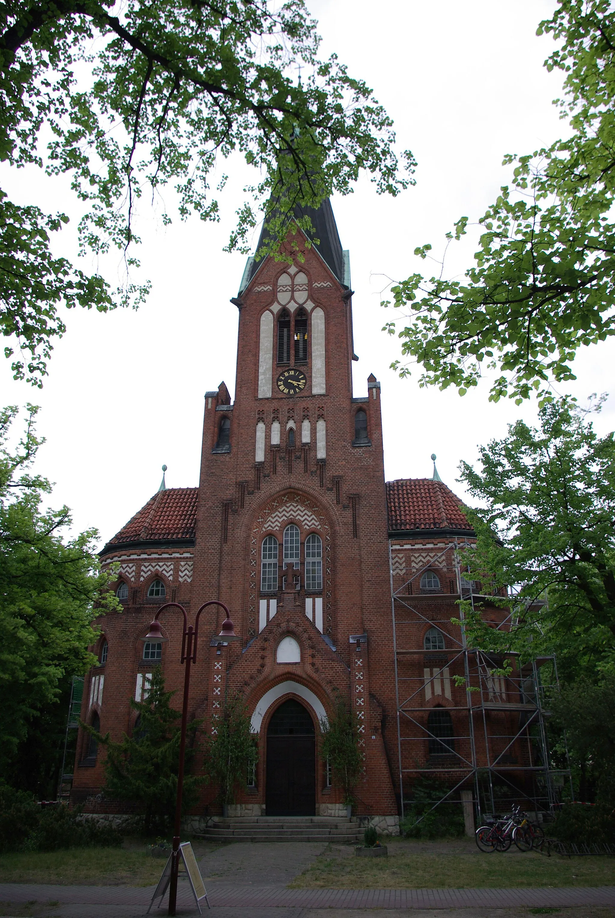
Grünau is a locality in Berlin, Germany. As a part of the city, Grünau offers access to well-built cycling infrastructure suitable for cycling enthusiasts. Road and gravel cyclists can enjoy the extensive network of cycle paths and routes throughout Berlin. While there are no specific famous cycling-related spots or well-known climbs within the immediate vicinity of Grünau, the locality serves as a great base for exploring the diverse cycling opportunities in and around Berlin.
Berlin's Hidden Treasures
Uncover hidden treasures and enjoy stunning vistas on this gravel cycling route around Berlin.
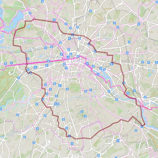
This adventurous gravel cycling route takes riders on a journey to uncover the hidden treasures of Berlin. From picturesque lakes and urban greenspaces to historical landmarks and panoramic viewpoints, this route showcases the diverse and vibrant side of the city. Covering a distance of 80 kilometers and with 191 meters of ascent, this route is suitable for experienced gravel bikers seeking a challenge. The difficulty rating for this route is set at 4, offering a thrilling track for those looking to push their limits. The epicness of this route is rated 3, providing an exciting mix of city and nature exploration.
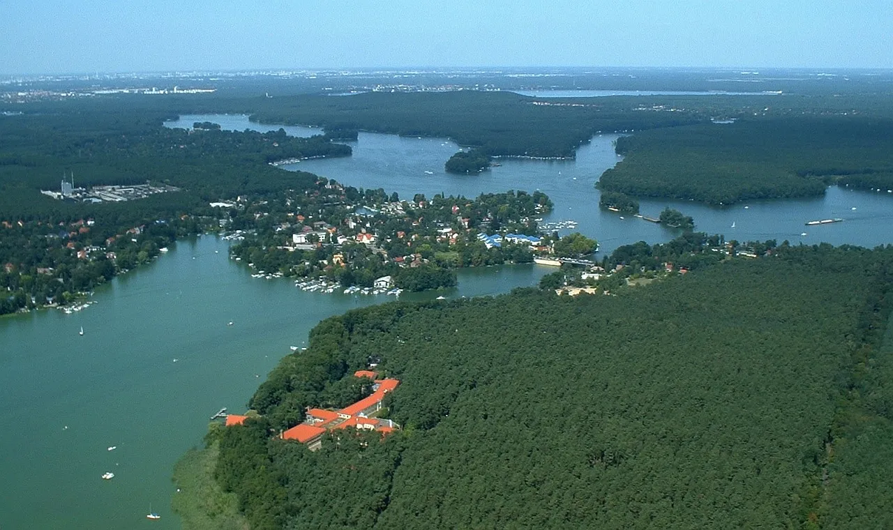
Experience the fairy-tale charm of Grünau and discover stunning lakes and majestic castles along the way.
This picturesque route takes cyclists on a journey through charming Grünau and the surrounding area. With its beautiful lakes and impressive castles, this route offers a perfect balance of natural beauty and historical landmarks. The route is suitable for gravel bikes, making it an adventurous and scenic ride for outdoor enthusiasts. Covering a distance of 62 kilometers and with 191 meters of ascent, this route provides a moderate challenge for well-trained amateurs. The epicness of this route is rated 4.
Embark on an adventure through the diverse landscapes of the Mark Brandenburg region.
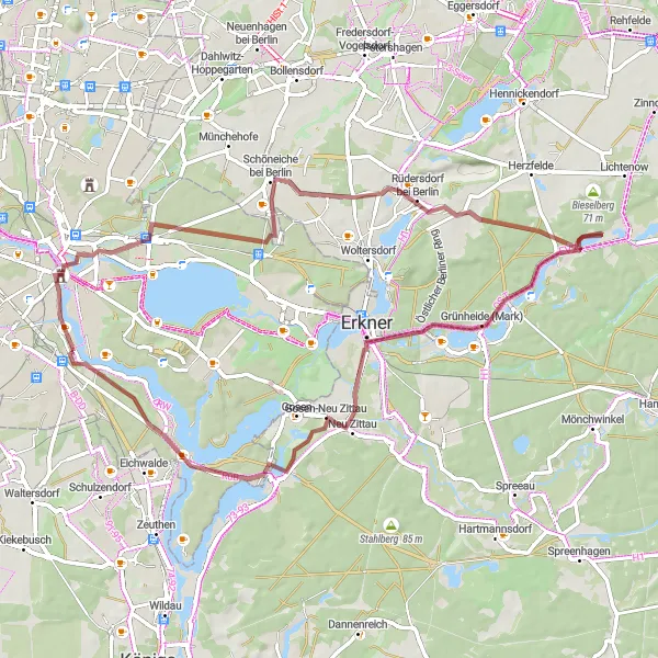
This gravel cycling route takes riders on a thrilling adventure through the diverse landscapes of the Mark Brandenburg region. From picturesque meadows and tranquil lakes to charming villages with historic buildings, this route offers a unique exploration of the region's natural and cultural heritage. With a distance of 58 kilometers and 147 meters of ascent, this route is suitable for experienced gravel bikers looking for a moderate challenge. The epicness rating for this route is 4, providing an exciting and memorable cycling experience.
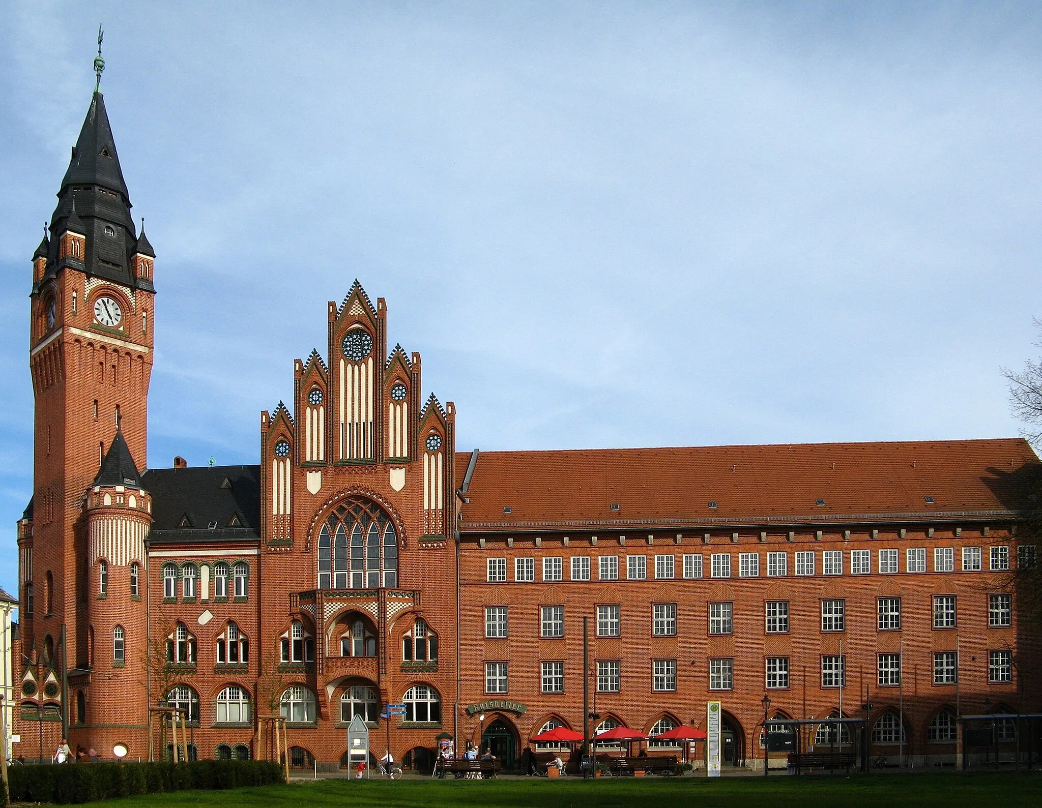
Embark on an adventurous road cycling tour to the charming town of Königs Wusterhausen.
This road cycling route is 60 km long with an ascent of 110 meters, making it suitable for intermediate cyclists. The route takes you through scenic roads, offering beautiful views of the surrounding countryside. Highlights along the way include Falkenberg, Königs Wusterhausen, Funkerberg, Groß Machnow, Galgenberg, Kleinziethen, and Rudower Höhe. These places provide opportunities to experience the rich culture and history of the region.
Green Oasis
Escape the city and immerse yourself in the natural beauty of the Grünau region on this road cycling adventure.
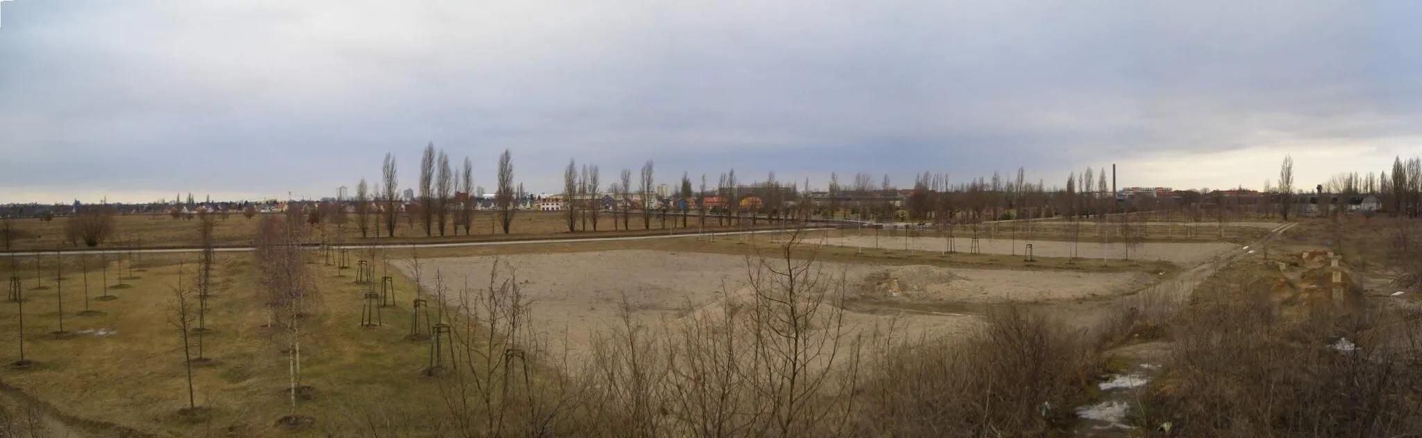
This road cycling route allows cyclists to explore the green oasis surrounding Grünau. With a mix of quiet country roads, beautiful landscapes, and charming villages, this route provides a peaceful retreat from the bustling city. Covering a distance of 52 kilometers and with 49 meters of ascent, this route is suitable for all skill levels. The difficulty rating for this route is 2, making it accessible for casual riders looking for a leisurely cycling experience. The epicness rating for this route is 3, offering cyclist relaxing countryside scenery with occasional picturesque viewpoints.
Embark on a challenging road cycling route that takes you to the town of Ludwigsfelde.
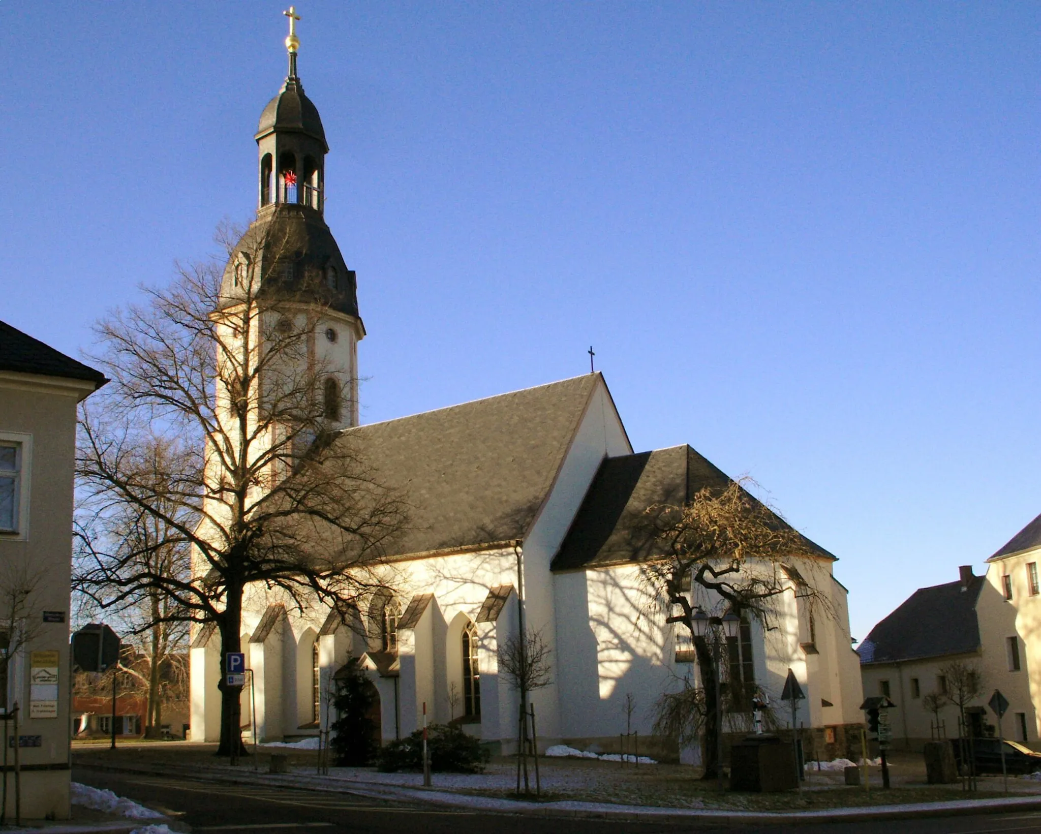
This road cycling route covers a distance of 101 km with an ascent of 226 meters, making it suitable for experienced cyclists. The route takes you through scenic roads and offers stunning views of the surroundings. Highlights along the way include Kiekebusch, Klein Kienitz, Schünow, Teerutenberg, Thyrow, Ludwigsfelde, Technikdenkmal Rieselfeld, Trümmerberg Lichterfelde, Lilienthal-Denkmal, Schloss Britz, and Rudower Höhe. These landmarks provide interesting insights into the history and culture of the area.
Explore the peaceful countryside around Grünau and visit the charming towns of Wildau and Waltersdorf.
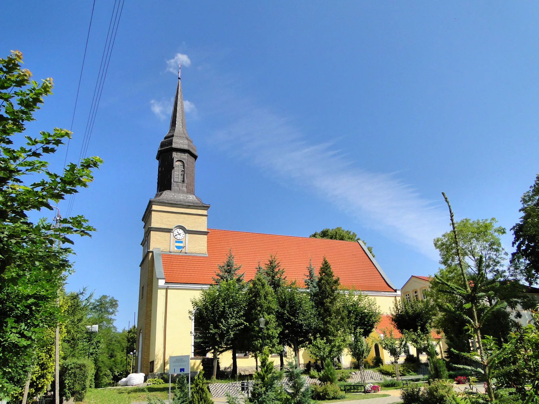
This gravel cycling route takes you through beautiful forests and serene fields, allowing you to enjoy the natural beauty of the area. With a distance of 49 km and an ascent of 79 meters, this route is suitable for beginners and intermediate cyclists. Along the way, you can visit highlights such as Wildau, Hortenberg, Mittenwalde, Waltersdorf, Galgenberg, and Falkenberg. These towns and landmarks provide interesting historical and cultural insights into the region. Don't forget to take in the breathtaking views of Falkenberg during your ride.
Embark on a challenging road cycling tour through the scenic countryside near Grünau.
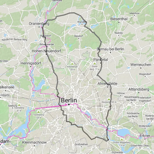
This road cycling route covers a distance of 120 km with an ascent of 335 meters, making it suitable for experienced cyclists. The route takes you through picturesque roads and offers stunning views of the surrounding countryside. Highlights along the way include Falkenberg, Rudower Höhe, Siegessäule, Moabit, Aussichtspunkt Charow, Birkenwerder, Aussicht auf den Lehnitzsee, Schmachtenhagen, Schuttberg, Schönow, Eiche, Großer Ahrensfelder Berg, Biesdorfer Höhe, and Schloss Köpenick. These landmarks provide opportunities to learn about the history and culture of the region.

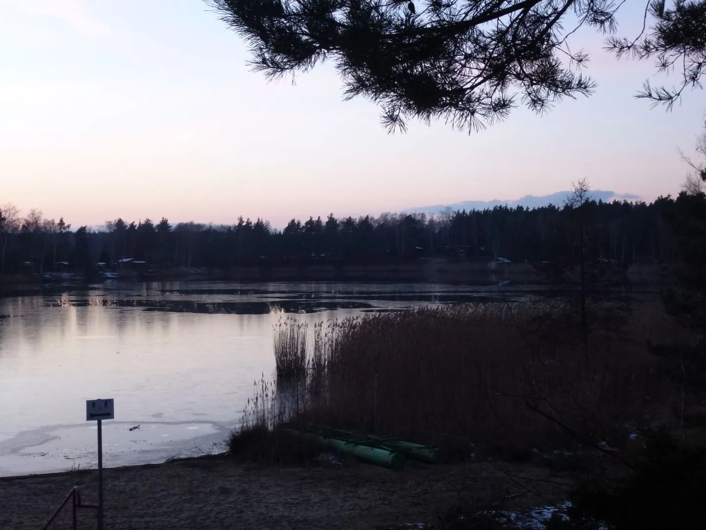
Discover the stunning landscapes of the Grünau Lake District on this adventurous gravel cycling route.
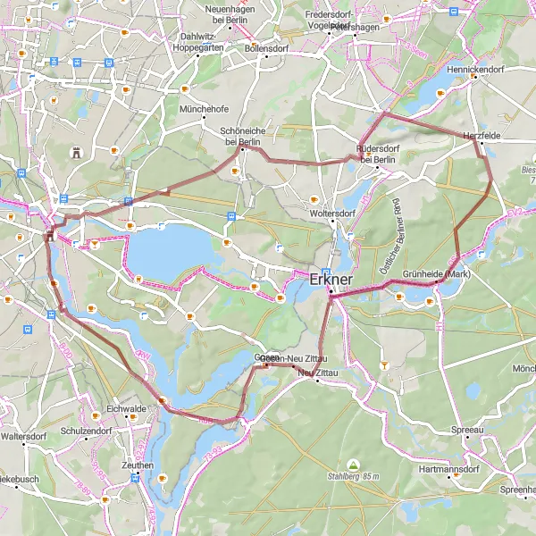
This gravel cycling route takes riders on an exciting exploration of the picturesque Grünau Lake District. With its pristine lakes, dense forests, and charming villages, this route offers a perfect combination of natural beauty and cultural heritage. Covering a distance of 72 kilometers and with 154 meters of ascent, this route is suitable for experienced gravel bikers looking for a challenge. The difficulty rating for this route is set at 5, providing a demanding track for well-trained cyclists seeking an adrenaline-filled adventure. The epicness of this route is rated 4.

Discover the natural beauty and scenic routes near Waßmannsdorf.
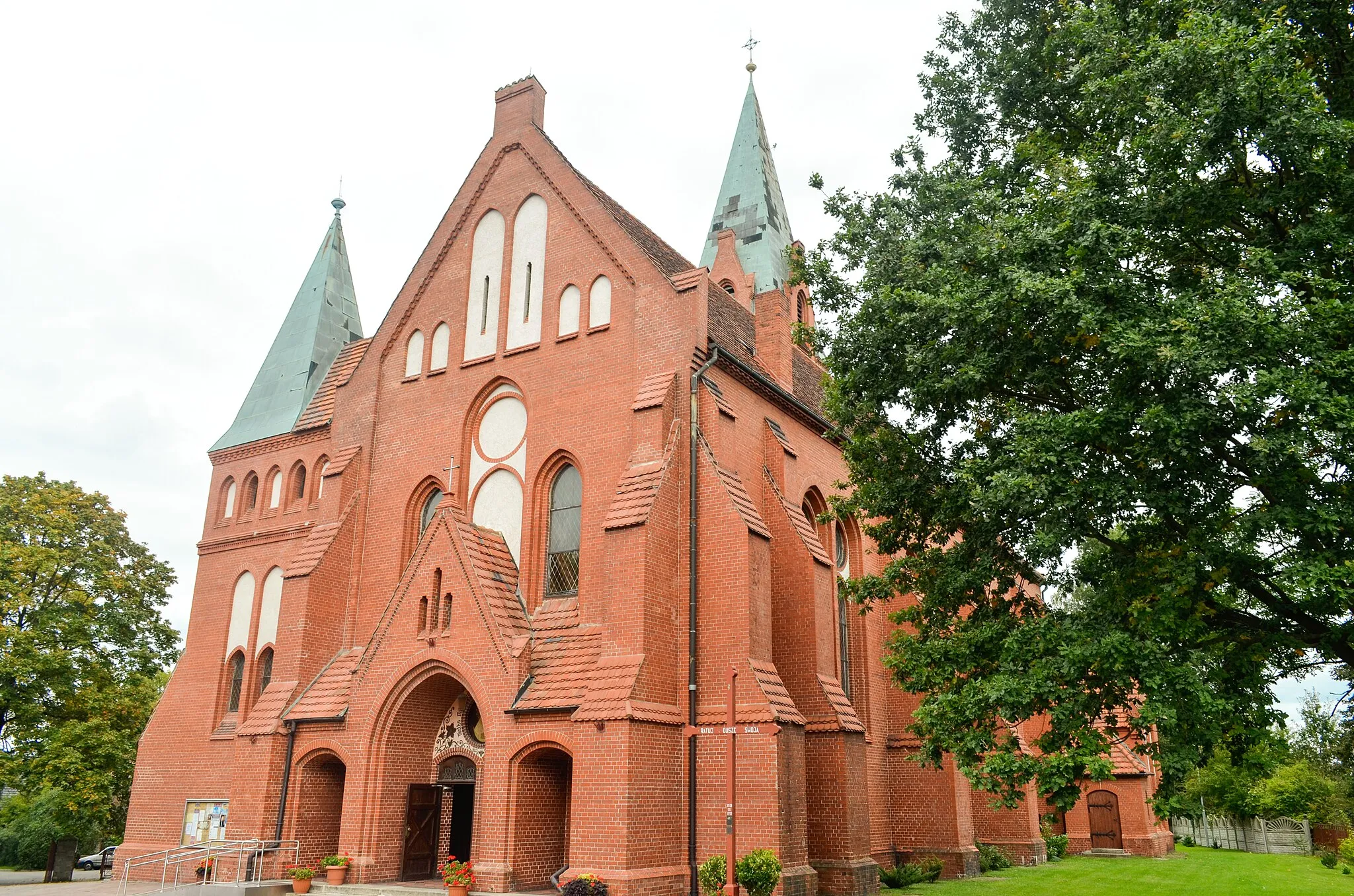
This road cycling route covers a distance of 93 km with an ascent of 219 meters, making it suitable for intermediate to advanced cyclists. The route takes you through picturesque roads, offering stunning views of the natural landscapes. Highlights along the way include Waßmannsdorf, Kleinziethener Berg, Fichtenberg, Belvedere, Schildow, Mühlberg, Mörderberg, Dorfkirche Malchow, Aussichtspunkt Bunkerberg, and Schloss Köpenick. These landmarks showcase the diverse beauty and history of the region.
Cycling routes nearby:
Nearby regions: