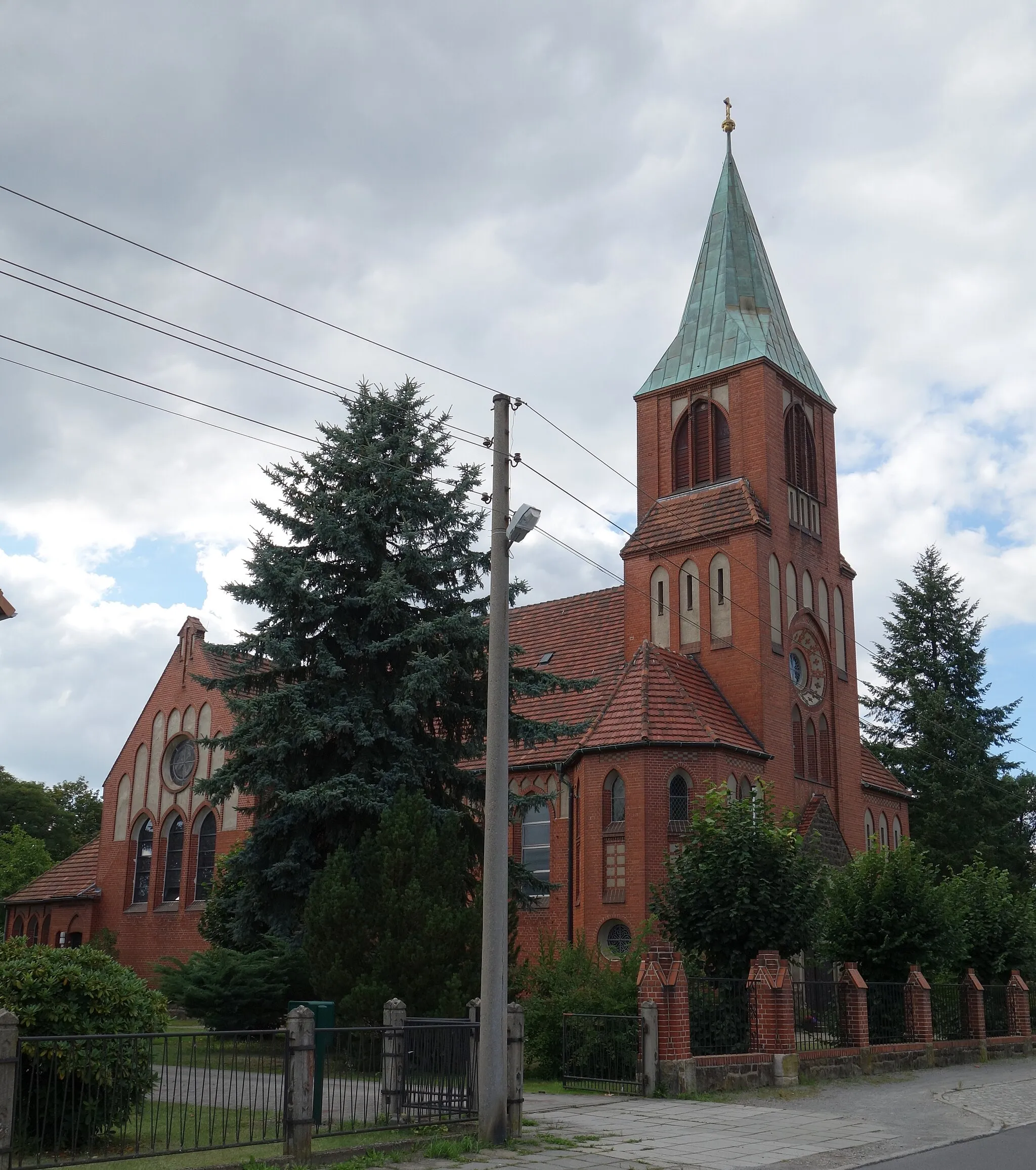
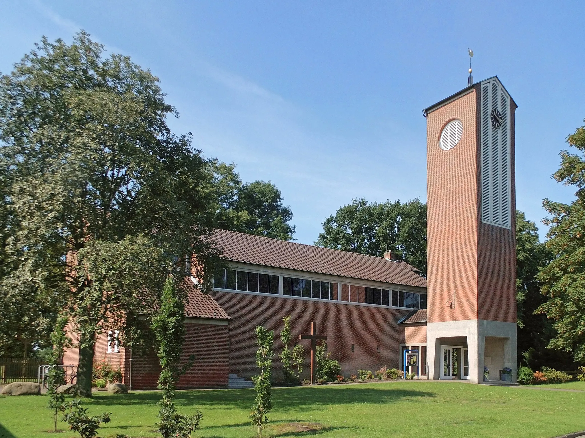
Picturesque cycling routes in Calberlah, Germany
Cycling routes from Calberlah
Calberlah, located in the Braunschweig region of Germany, is a cyclist-friendly locality offering enjoyable rides for road and gravel cyclists. The town features well-maintained roads that traverse picturesque landscapes, providing scenery that is pleasing to the eye. Flat terrains make cycling in Calberlah accessible to riders of varying skill levels. The nearby Harz Mountains, a popular cycling destination, house steep climbs and challenging routes for experienced cyclists. Overall, Calberlah offers a pleasant cycling experience with a rank of 4.

Embark on a scenic journey exploring the surroundings of Calberlah.
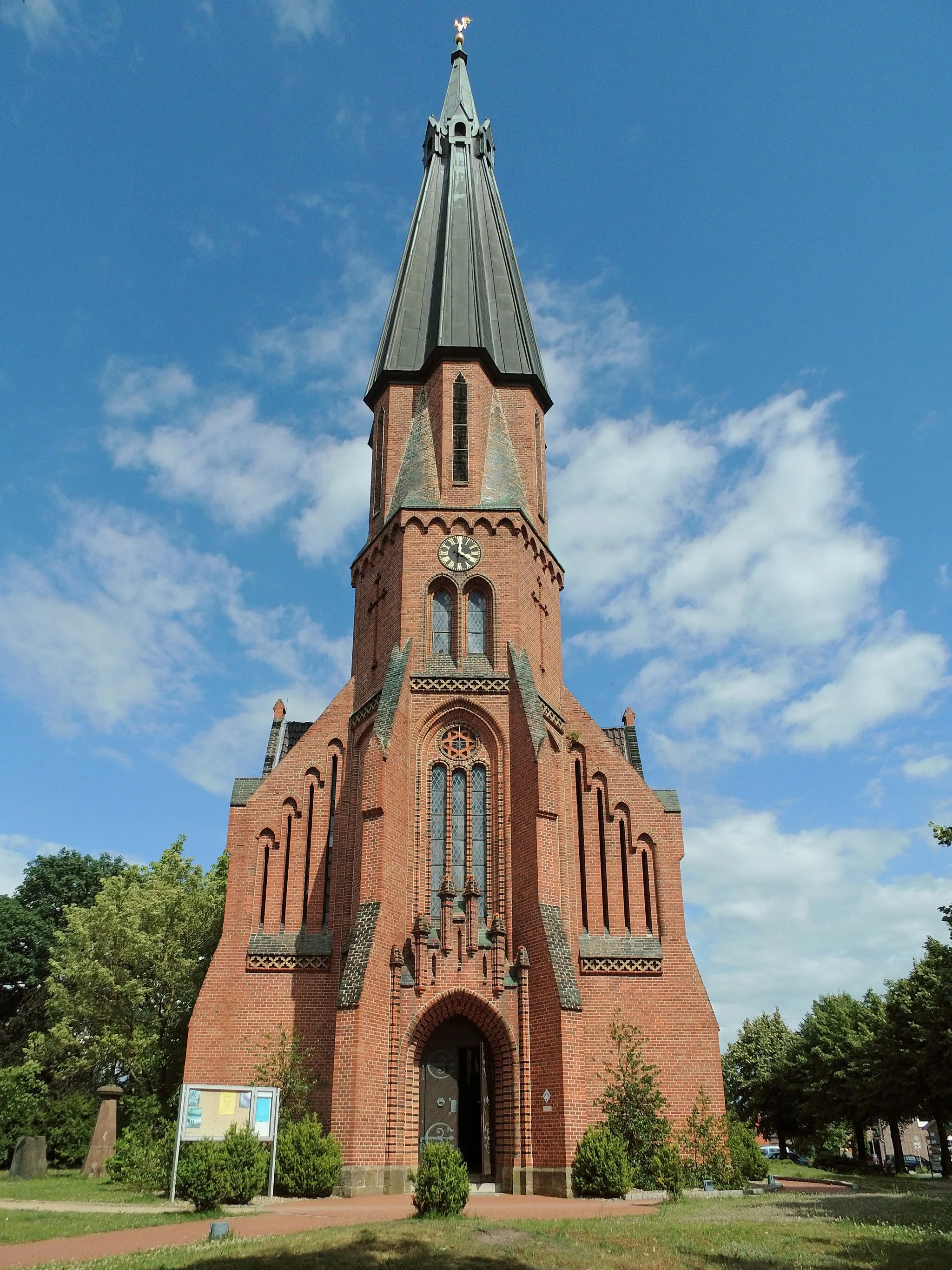
The Calberlah Explorer is a 25-kilometer gravel cycling route that takes you on a scenic journey through the beautiful surroundings of Calberlah. With only 44 meters of elevation gain, this route is suitable for beginners and offers a relaxed cycling experience. Highlights along the route include the charming village of Osloß, the unique Weidentunnel, a tunnel formed by overgrown willow trees, and the peaceful Schleusensiedlung, a canal lock settlement known for its idyllic atmosphere.
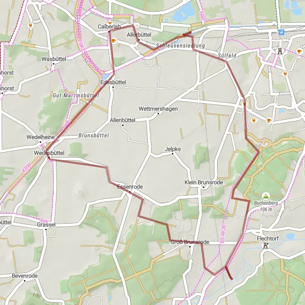
Embark on a compact gravel adventure through scenic landscapes
Covering a total distance of 32 kilometers with an elevation gain of 144 meters, this route offers a compact yet rewarding gravel riding experience. Explore the countryside near Calberlah and marvel at the natural beauty that unfolds along the way. With its relatively short distance, this route is suitable for cyclists looking for a quick getaway or a pleasant afternoon ride.
Embark on a gravel journey and explore the scenic hills and valleys
This gravel cycling route covers a distance of 87 kilometers and features 151 meters of ascent, leading you through a captivating natural landscape. Offering a thrilling adventure for seasoned gravel enthusiasts, this route is sure to leave you in awe. Push your limits and immerse yourself in the beauty of Braunschweig's outskirts.
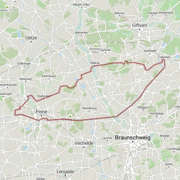
Calberlah to Vechelde Loop
Ride through scenic countryside and picturesque towns in this challenging road loop
This route takes you through the beautiful countryside surrounding Calberlah, providing stunning views and a challenging ride. You'll pass through historic towns and villages, and experience some challenging climbs along the way. With a total ascent of 248 meters and a distance of 134 kilometers, this is a route for well-trained amateur cyclists looking for a tough but rewarding ride.
Gifhorn Adventure
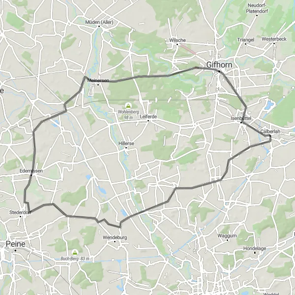
Embark on an exciting adventure exploring the area around Gifhorn.
The Gifhorn Adventure is a 73-kilometer road cycling route that takes you on an exciting journey exploring the area around Gifhorn. With an elevation gain of 128 meters, this route offers a mix of flat sections and rolling hills, providing a diverse cycling experience. Highlights along the route include the charming village of Meine, Roth-Berg known for its picturesque houses and beautiful views, and the historic town of Gifhorn with its well-preserved old town and cultural attractions.
The Heiligendorf Challenge
Conquer challenging ascents and enjoy picturesque views along this road cycling route
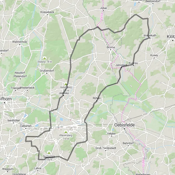
Take on the Heiligendorf Challenge and test your limits on this road cycling route. Covering a distance of 119 kilometers with an ascent of 377 meters, this route offers both challenging climbs and breathtaking vistas. Ascend Tappenbeck and Radenbeck hills, experience the scenic beauty of Immekath, and soak in the peaceful atmosphere of Rühen. Finish your journey with a sense of accomplishment as you conquer the final climb in Heiligendorf.

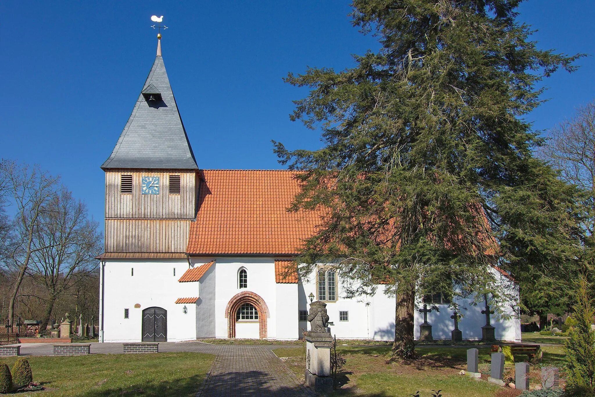
Embark on a thrilling gravel adventure through the scenic Elm Forest.
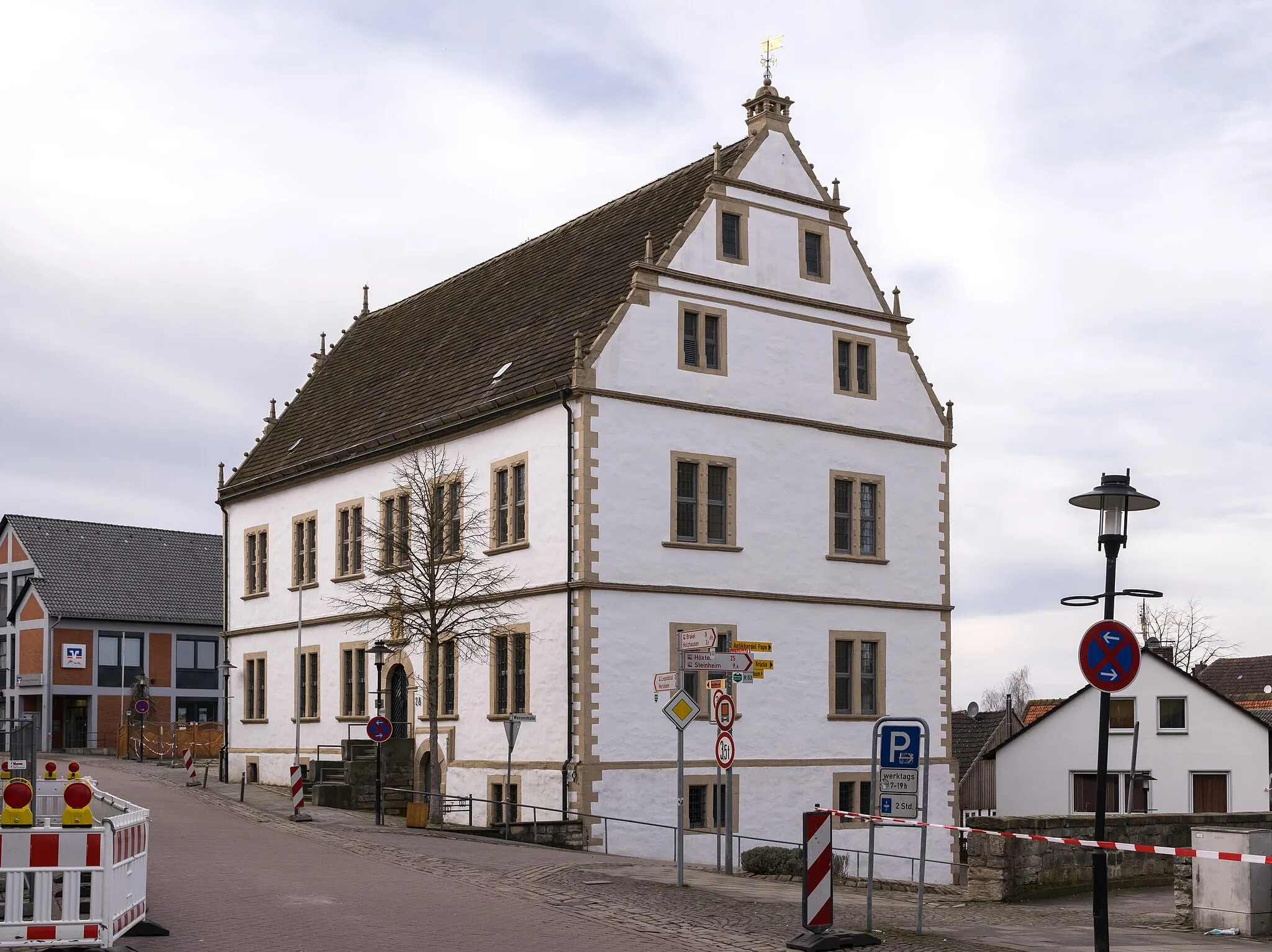
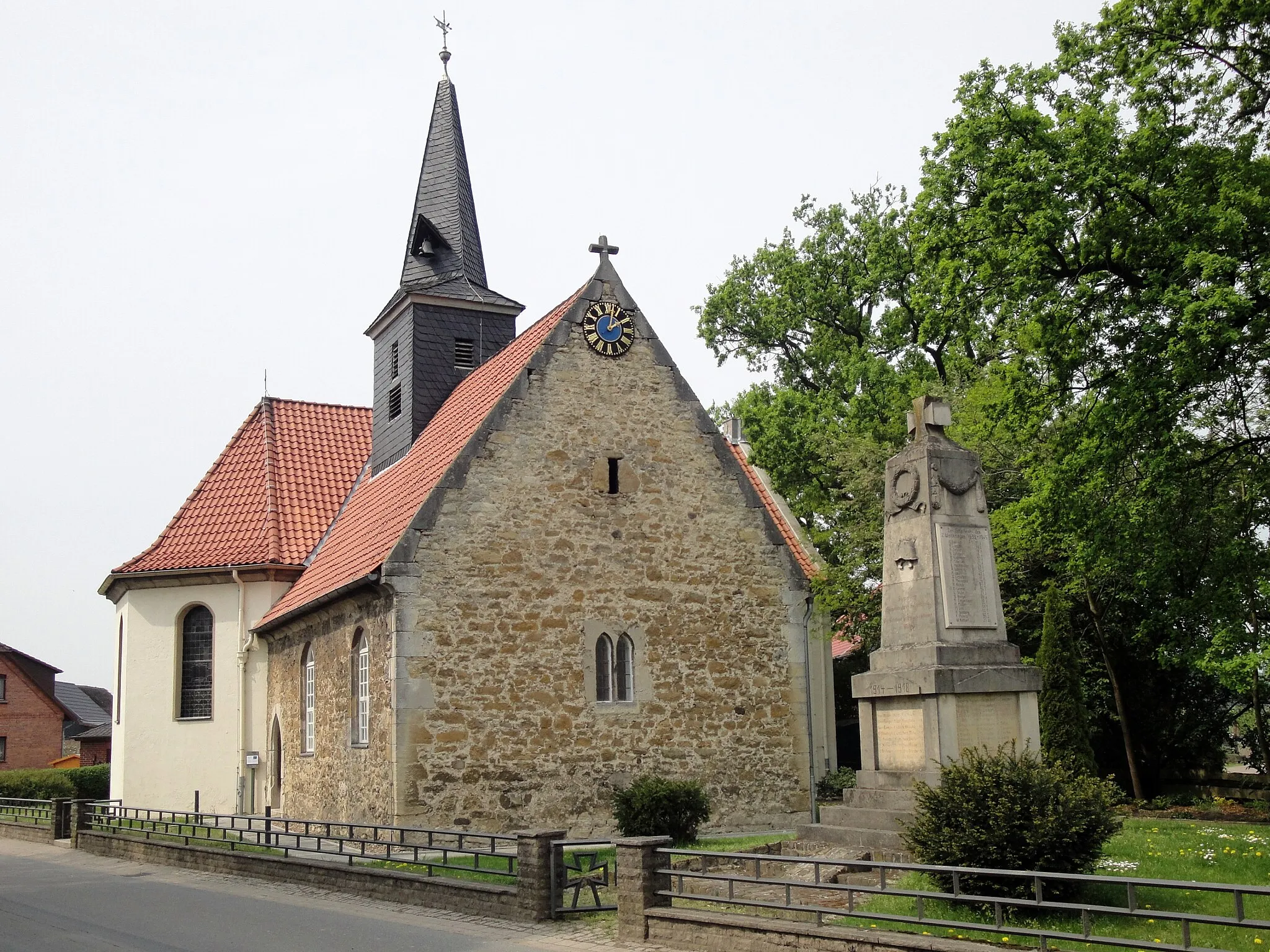
The Elm Forest Gravel Adventure is a thrilling and challenging 83-kilometer cycling route that takes you through the scenic Elm Forest near Braunschweig. With an elevation gain of 566 meters, this route offers a mix of gravel roads and forest trails, providing an adventurous experience for gravel riders. Highlights along the route include the beautiful village of Calberlah, Königslutter am Elm with its historic Kaiserdom, the challenging climb up Drachenberg, and the picturesque village of Veltheim (Ohe) with its historic half-timbered houses.
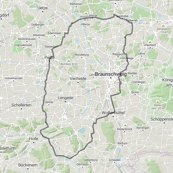
Embark on a challenging road cycling route and conquer the famous Wolfenbüttel ascent
This road cycling route offers a thrilling challenge for cyclists seeking to test their endurance and climbing abilities. Spanning a distance of 146 kilometers with an elevation gain of 428 meters, this epic journey takes you through picturesque countryside and offers panoramic views along the way. Conquer the iconic Wolfenbüttel ascent and experience the pride and accomplishment that comes from overcoming this legendary climb.

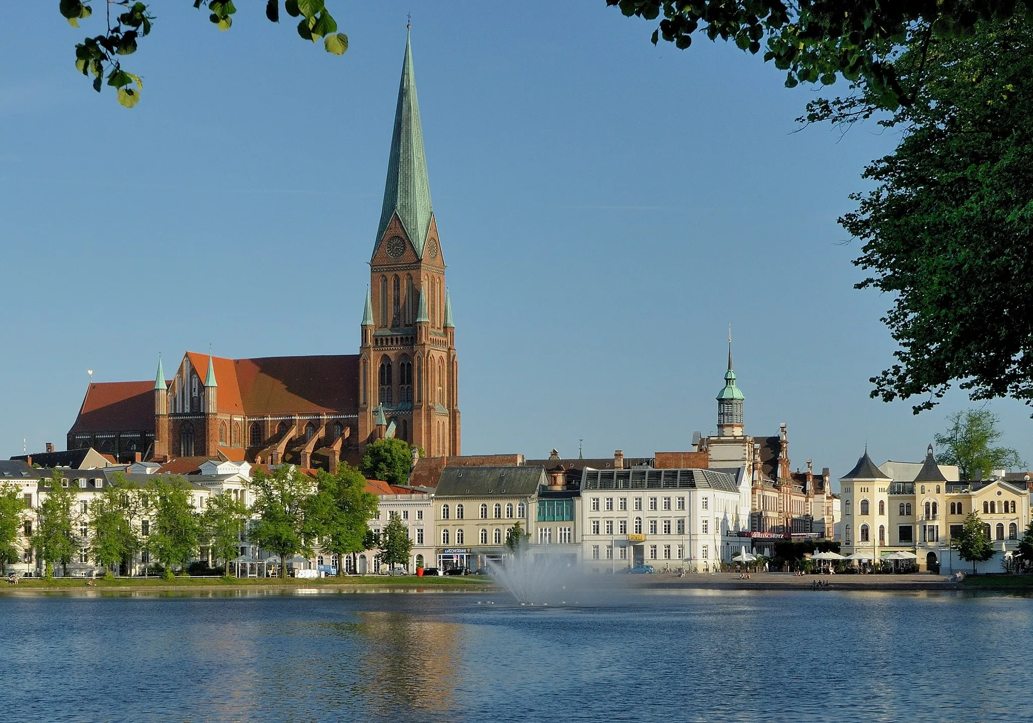
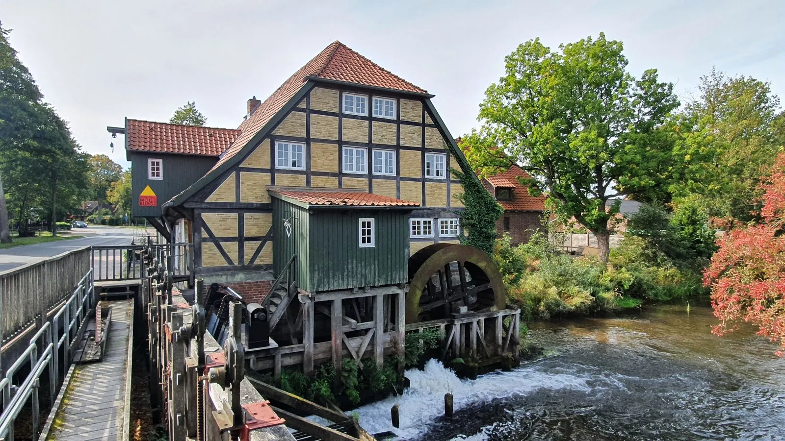
Escape the bustling city and immerse yourself in the peaceful nature surrounding Braunschweig.
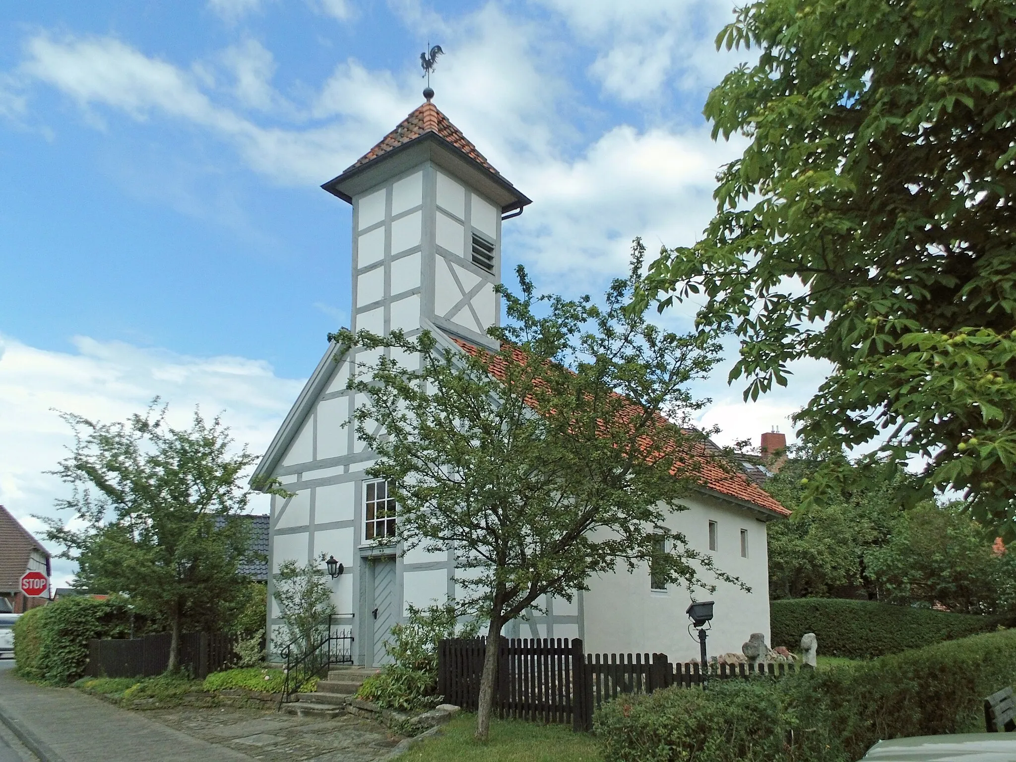
The Braunschweig Nature Escape is a 51-kilometer gravel cycling route that takes you on a scenic journey through the peaceful nature surrounding Braunschweig. With an elevation gain of 157 meters, this route offers a mix of gravel roads and forest trails, providing a tranquil and immersive experience. Highlights along the route include the charming village of Allenbüttel, known for its traditional half-timbered houses, Gliesmarode with its beautiful landscapes, and the small village of Nußberg, offering a tranquil atmosphere ideal for reconnecting with nature.
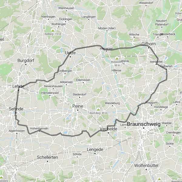
Hannover Loop
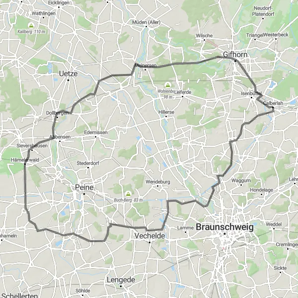
Experience the beautiful countryside surrounding Hannover on this challenging road cycling route.
The Hannover Loop is a challenging road cycling route that takes you through the stunning countryside surrounding Braunschweig. With a total distance of 111 kilometers and an elevation gain of 195 meters, this route offers a mix of flat sections and rolling hills. Highlights along the route include the small village of Meine, known for its charming atmosphere, the town of Gifhorn with its picturesque old town, and the scenic Katzenberg, offering panoramic views of the surrounding landscape.
Cycling routes nearby:
Nearby regions: