Cycling paradise in the heart of Chemnitz
Cycling routes from Frauenstein
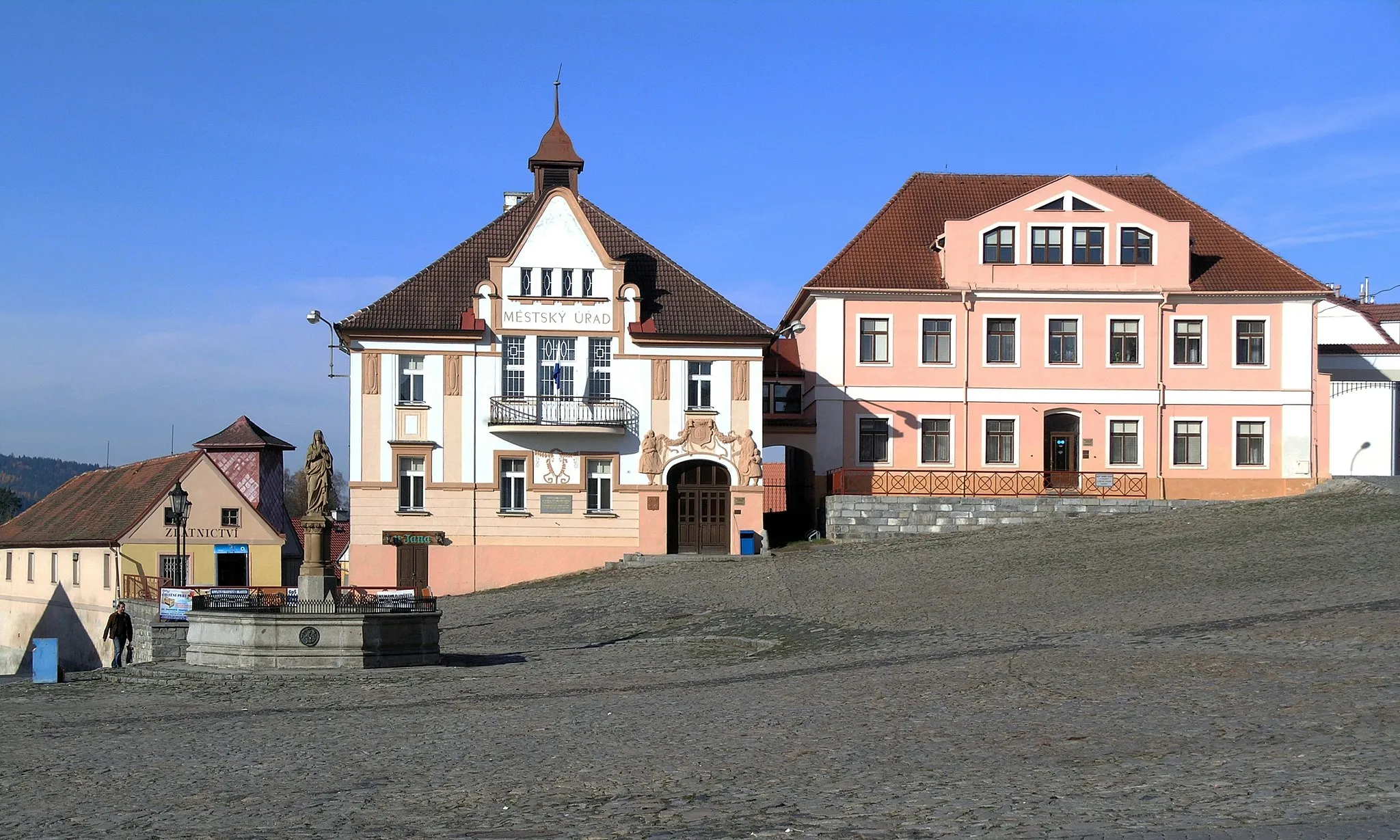
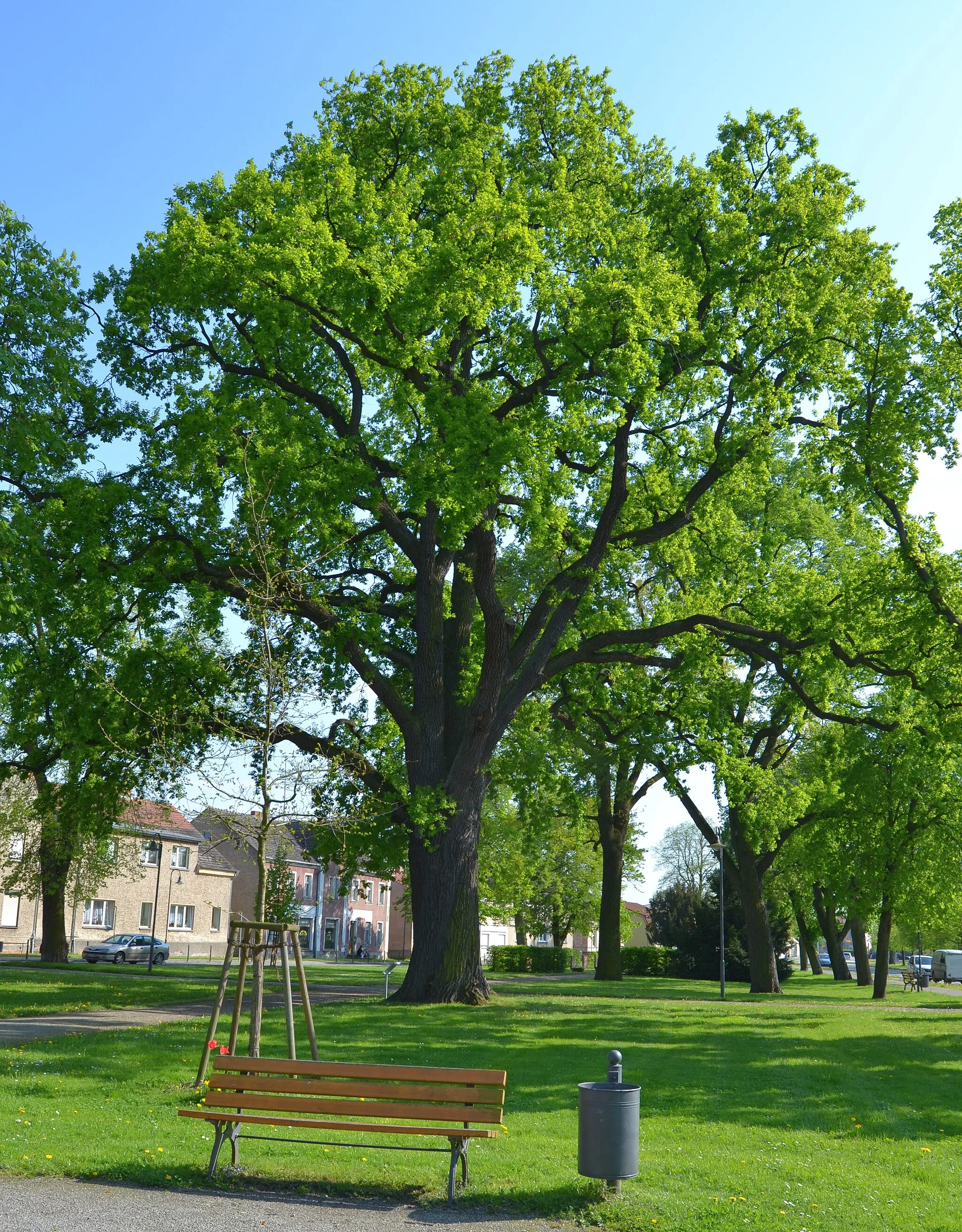
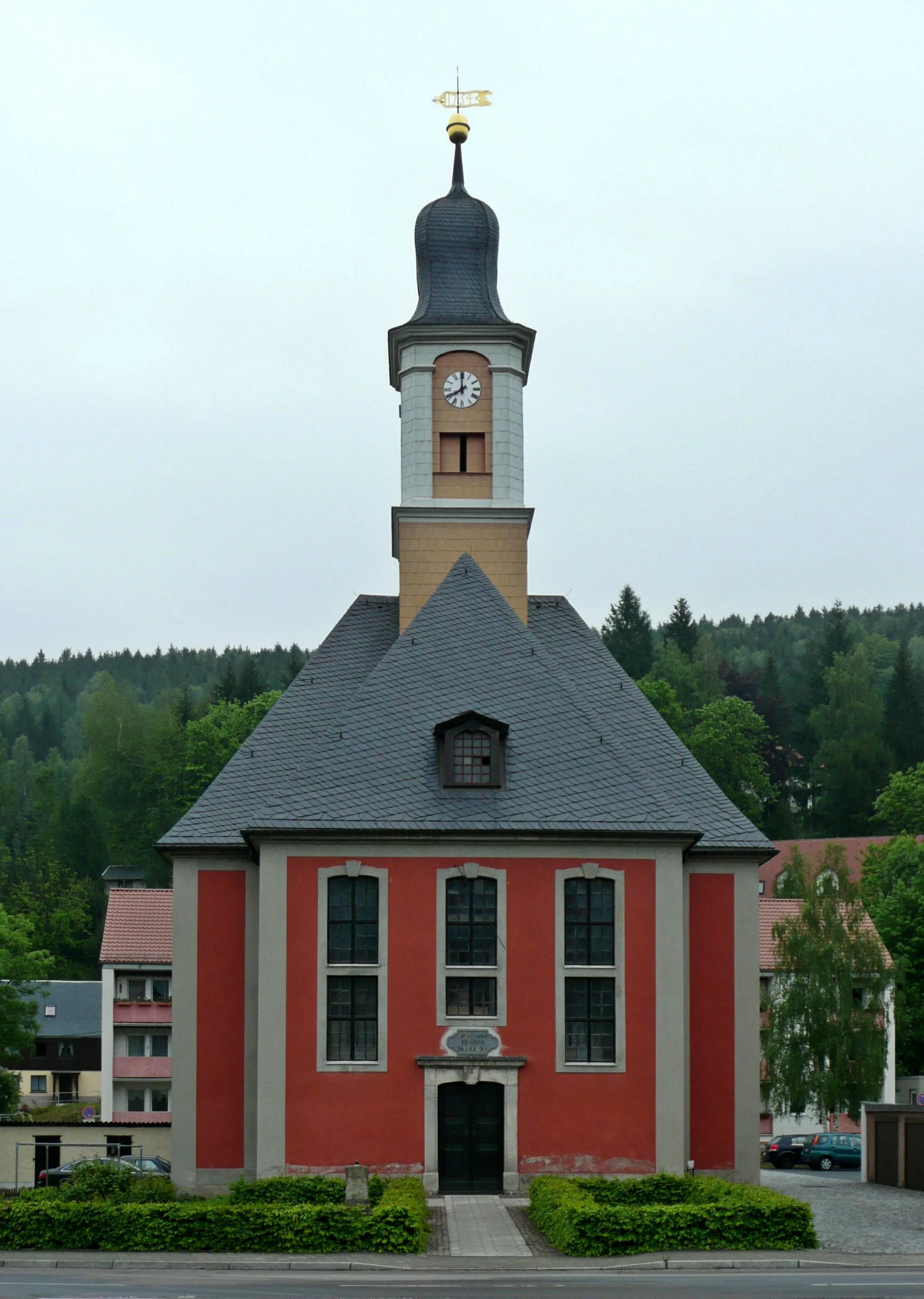
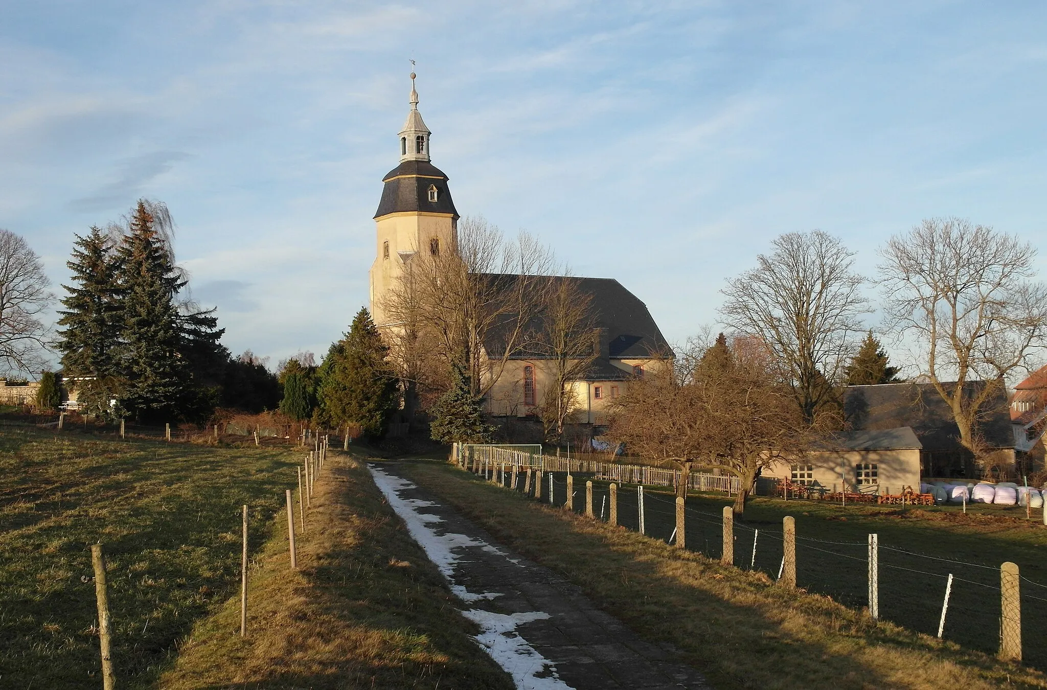
Frauenstein is a locality in Chemnitz, Germany that offers a variety of cycling routes for road and gravel cyclists. From Frauenstein, cyclists can explore the surrounding picturesque countryside and enjoy scenic views. One well-known climb nearby is the Frauensteinberg, which provides a challenging ascent and rewards cyclists with stunning panoramic views at the top. With its charming rural atmosphere and cycling-friendly roads, Frauenstein is a great destination for cycling enthusiasts.
A challenging road cycling route with beautiful highlights
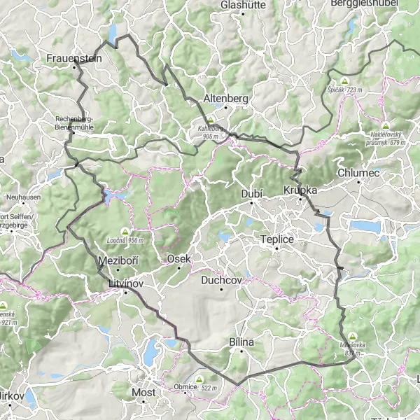
This road cycling route takes you from Frauenstein to Sandberg and covers a distance of 131 kilometers with a total ascent of 2,476 meters. The route includes highlights such as Platte, Oberpöbel, Kahleberg, Komáří hůrka, Modlany, Manuška, Lukov, Želenický vrch, Braňany, Louka u Litvínova, Holubí vrch, Mravenečník, and Rechenberg-Bienenmühle. It offers a challenging climb and stunning views along the way.
An adventurous gravel cycling route through scenic landscapes
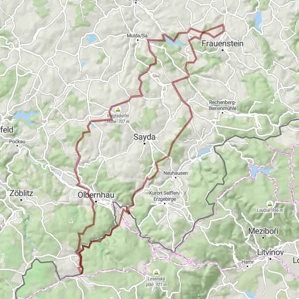
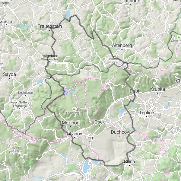
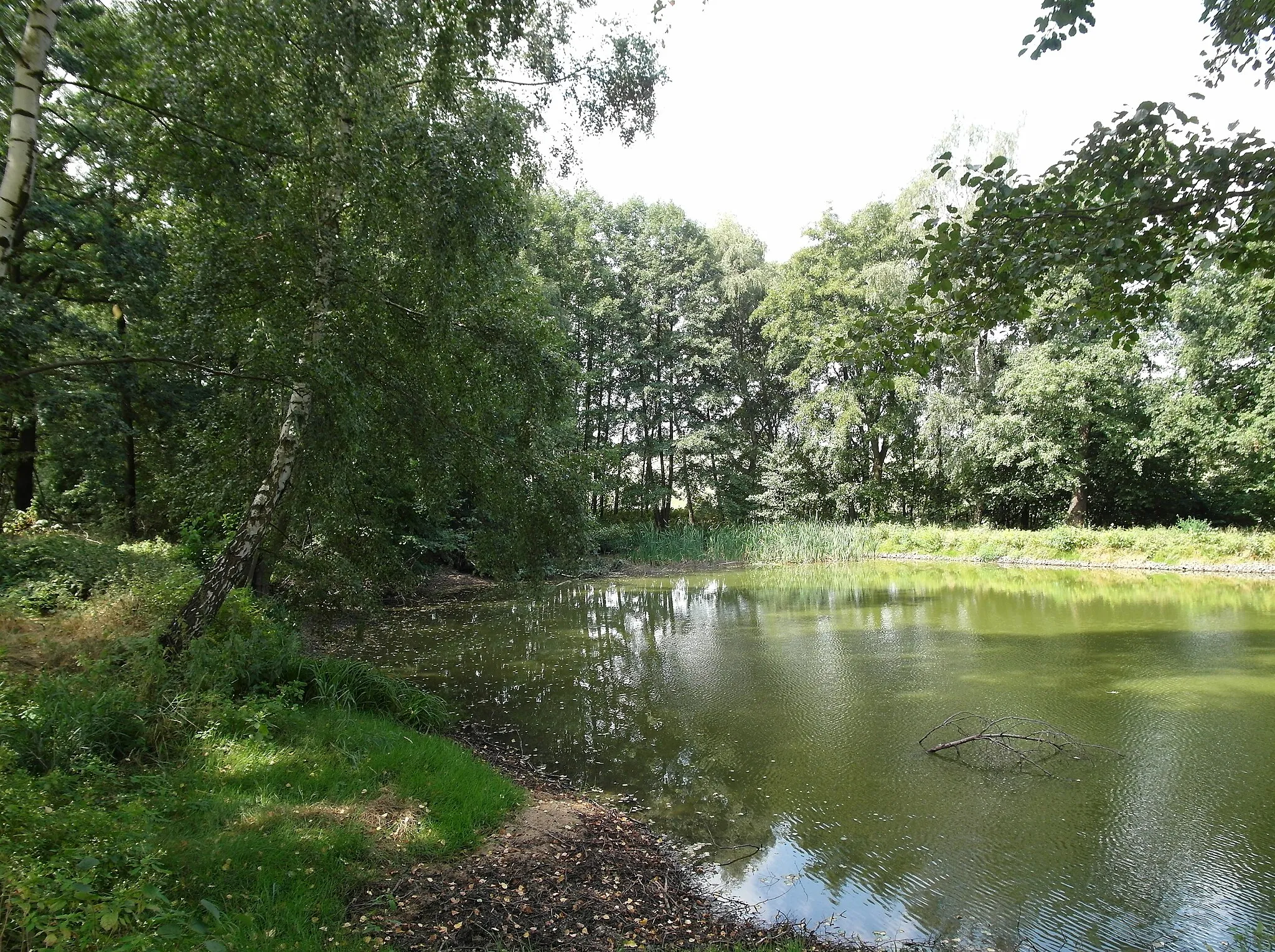
This gravel cycling route takes you from Frauenstein to Brandov and covers a distance of 93 kilometers with a total ascent of 1,930 meters. The route includes highlights such as Turmberg, Clausnitz, Brandov, Stößerfelsen, Bruchberg, Olbernhau, Voigtsdorfer Höhe, Wolfsgrund, and Burkersdorf. It offers a diverse terrain with forested areas, open fields, and rocky formations, providing an adventurous experience for gravel cyclists.
A scenic road trip through the countryside
Embark on a scenic road cycling adventure through the countryside near Frauenstein. With a total ascent of 733 meters and a distance of 57 kilometers, this route offers a mix of challenging climbs and tranquil rural landscapes. Experience the beauty of nature, charming villages, and historical sites along the way. This route is suitable for road bikes.
Dive into the wilderness on gravel roads
This adventurous gravel cycling route takes you off the beaten path and into the wilderness surrounding Frauenstein. With a total ascent of 614 meters and a distance of 48 kilometers, it is a challenging but rewarding ride. Enjoy the rugged landscapes, dense forests, and remote villages along the way. This route is suitable for gravel bikes.
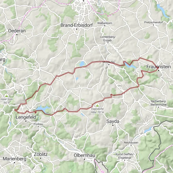
A gravel cycling route with historical sites and scenic landscapes
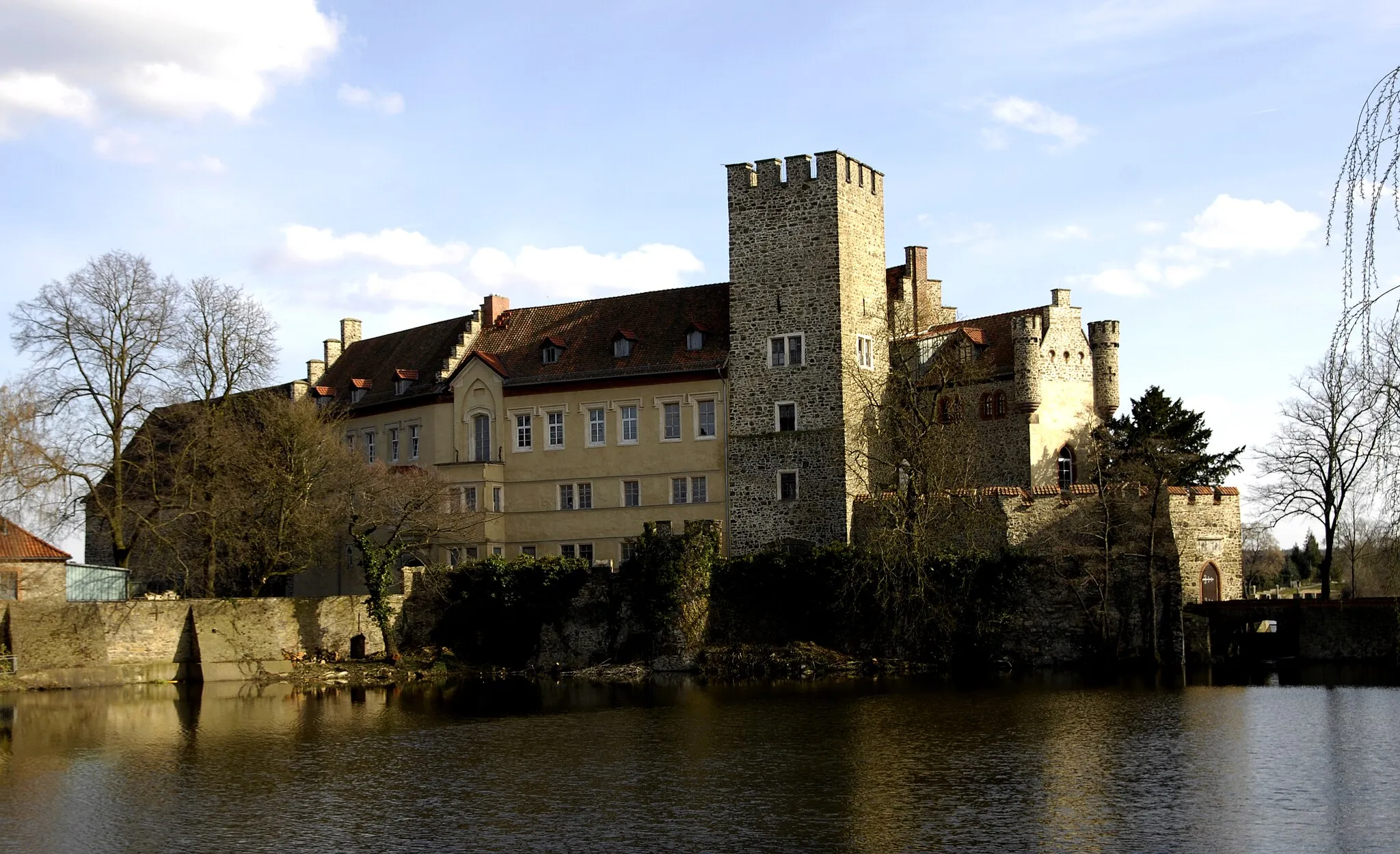
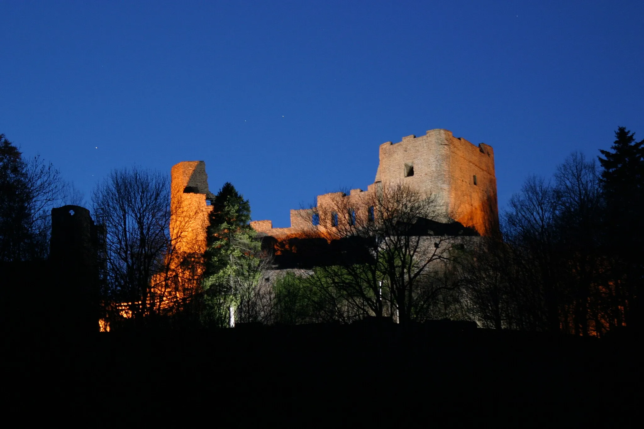
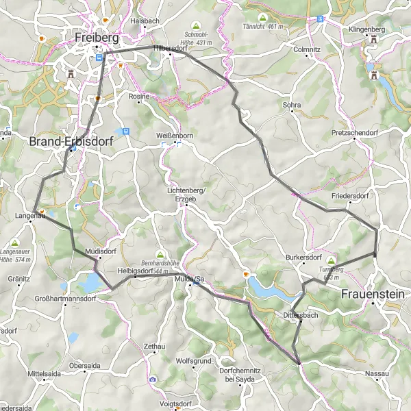
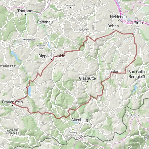
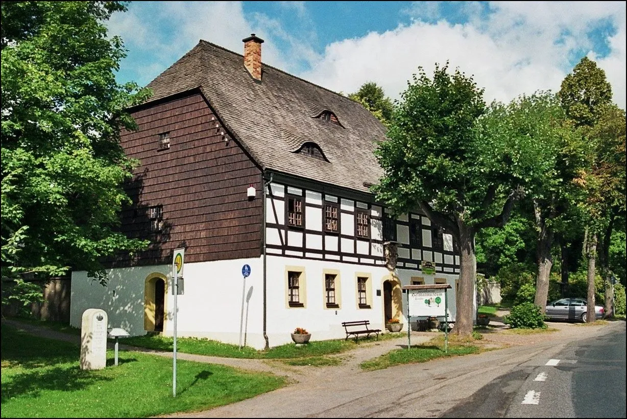
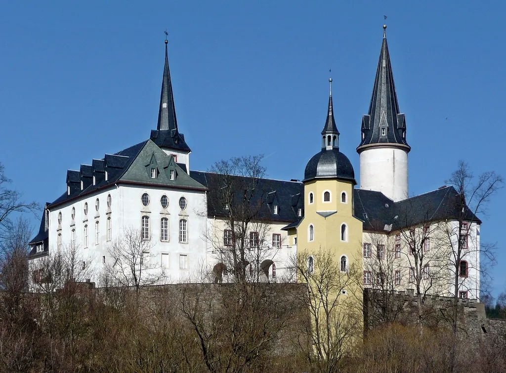
This gravel cycling route takes you from Frauenstein to Burkersdorf and covers a distance of 93 kilometers with a total ascent of 1,999 meters. The route includes highlights such as the Burgruine Frauenstein, Platte, Dippoldiswalde, Wilisch, Müglitztal, Fuchshübel, Dohma, Schärfling, Hegelshöhe, Hirschsprung, Sandberg, and Frauenstein. It offers a mix of historical sites, stunning natural landscapes, and challenging gravel sectors, providing an exciting adventure for gravel enthusiasts.
Conquer legendary climbs and admire breathtaking views
Embark on the ultimate cycling experience near Frauenstein, conquering legendary climbs and soaking in breathtaking views along the way. With a total ascent of 1,895 meters and a distance of 113 kilometers, this route is a true test of endurance and will leave you with unforgettable memories. Challenge yourself on steep climbs, enjoy the thrilling descents, and experience the beauty of the surrounding landscapes. This route is suitable for experienced road cyclists.
A scenic road cycling route with challenging climbs
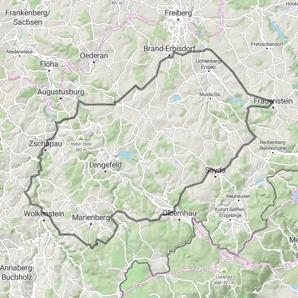
This road cycling route takes you from Sandberg to Burkersdorf and covers a distance of 122 kilometers with a total ascent of 2,288 meters. The route includes highlights such as Sandberg, Clausnitz, Olbernhau, Morgensternhöhe, Großrückerswalde, Ziegenrücken, Drebach, Bergfried, Butterberg, Eppendorf, Hennersberg, and Weißenborn. It offers stunning landscapes and challenging climbs for experienced cyclists.
Explore lesser-known routes and hidden attractions
Discover the hidden gems of the Frauenstein region with this gravel cycling route. With a total ascent of 806 meters and a distance of 36 kilometers, it is a moderate yet captivating ride. Explore lesser-known paths, charming villages, and uncover hidden attractions along the way. This route is suitable for gravel bikes.
Frauenstein Challenge
Zigzag through the hills of Frauenstein
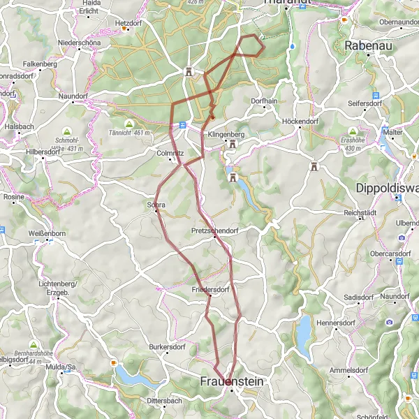
This challenging road cycling route takes you on a thrilling journey through the hills around Frauenstein. With a total ascent of 1,614 meters and a distance of 87 kilometers, it is a perfect challenge for experienced cyclists. Enjoy the beautiful landscapes and picturesque villages along the way. This route is suitable for road bikes.
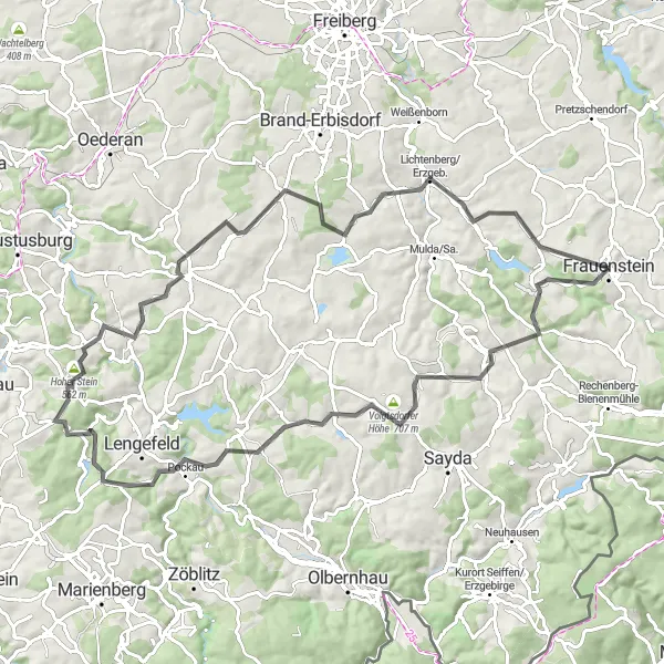
An exhilarating gravel ride with challenging climbs and scenic views
Embark on a thrilling gravel adventure starting near Frauenstein in Chemnitz, Germany. This 73-kilometer route takes you through diverse terrain, from steep ascents to picturesque valleys. Enjoy breathtaking views of the Sandberg, Dorfchemnitz bei Sayda, and Helbigshöhe along the way. Make a stop at Lengefeld and explore its charming town center. As you continue your journey, pass through Großhartmannsdorf and relish in its idyllic countryside. Conclude this epic ride with a visit to Alpstein and Burkersdorf, both offering stunning panoramas. This route promises excitement, beauty, and a true off-road experience for gravel cycling enthusiasts.
Cycling routes nearby:
Nearby regions: