Cycling Escapade in Chemnitz, Germany
Cycling routes from Glauchau
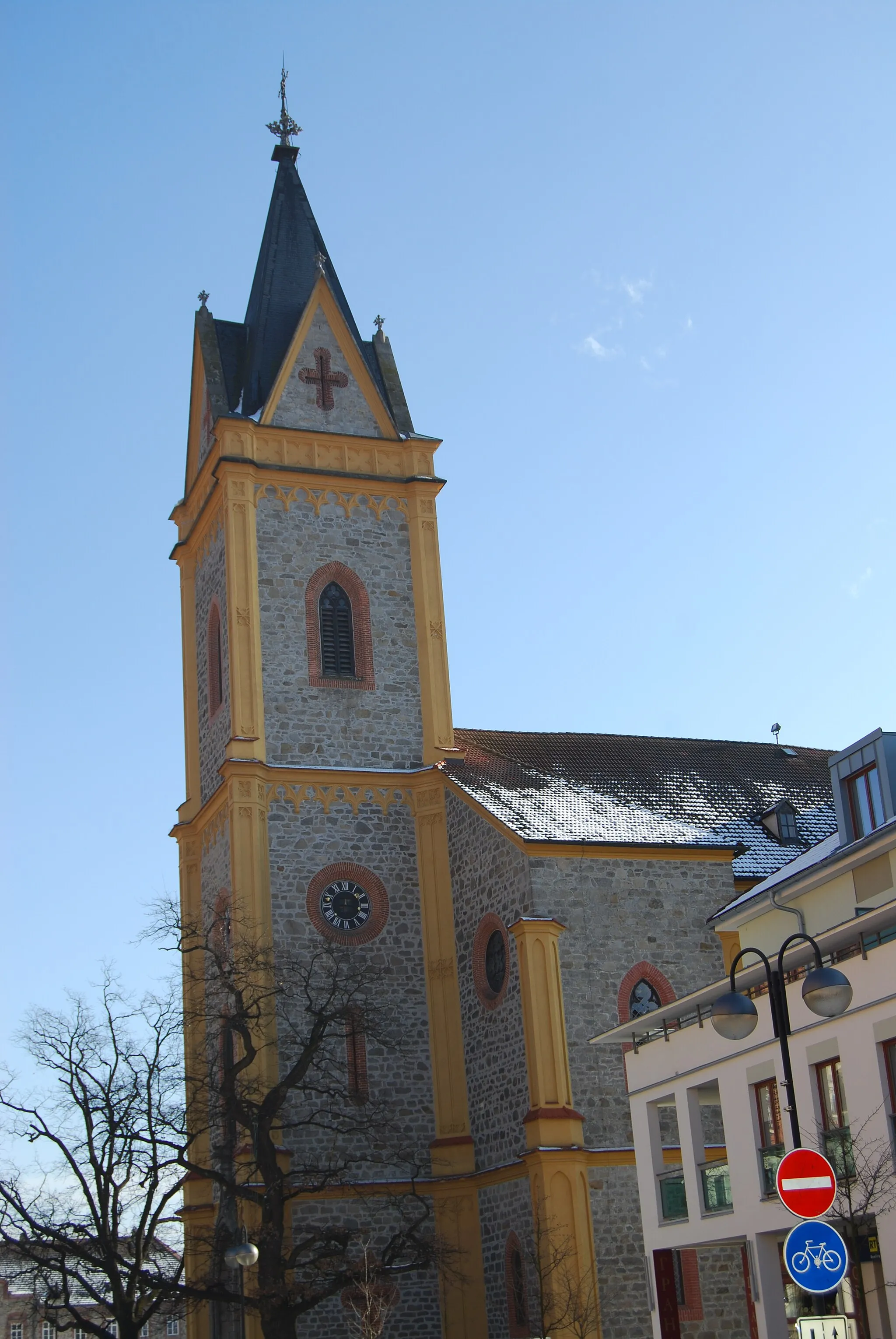
Glauchau, located in Chemnitz, Germany, offers a mixed cycling experience for road and gravel cyclists. The town is surrounded by a variety of landscapes, including rolling hills, forests, and open fields. Road cyclists can enjoy relatively quiet roads, with decent tarmac and some designated cycling lanes. Gravel cyclists can explore the off-road paths and trails in the area. However, due to the urban nature of the town, finding longer and more challenging routes might require some planning. Glauchau is a good option for cyclists looking for a mix of urban and rural riding experiences.
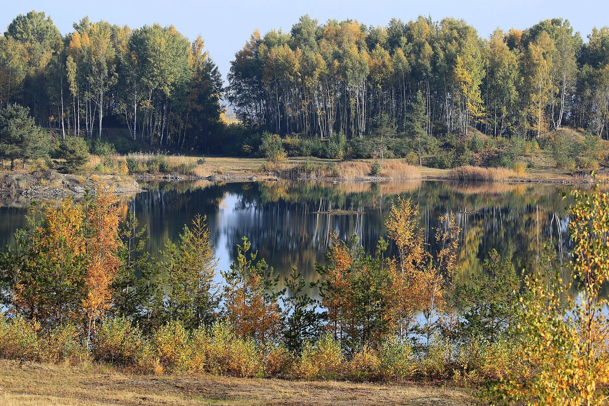
A scenic gravel route through the peaceful countryside near Glauchau
Escape the hustle and bustle of the city with this tranquil gravel route through the peaceful countryside near Glauchau. Covering a distance of 48 km and with an ascent of 392 meters, this route is suitable for amateur cyclists with some off-road experience. The highlights along the route include Großmecka, Göpfersdorf, and Hufeisen. The difficulty level is rated as 2 out of 5 and the epicness level is rated as 2 out of 5.
Explore the beautiful countryside around Glauchau
The Glauchau Loop takes you on a scenic journey through the enchanting countryside near Glauchau. This cycling route is perfect for nature lovers and offers stunning views of rolling hills and charming villages along the way. With a moderate level of difficulty, it is suitable for well-trained amateurs. The route covers a distance of 56 kilometers and includes an ascent of 525 meters. Prepare for a memorable cycling adventure in this picturesque region of Germany.
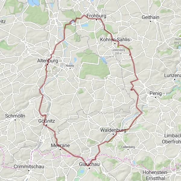
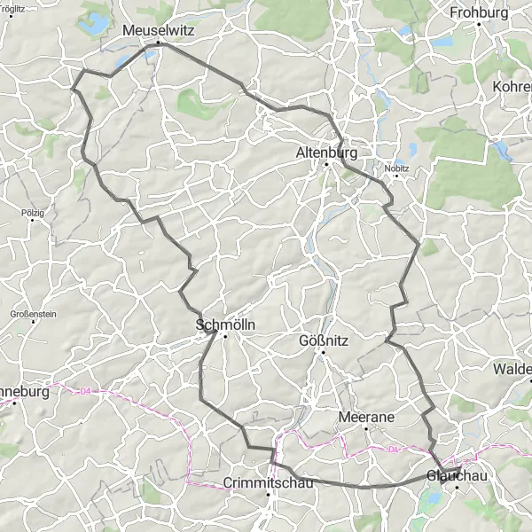
Saddle up for an exhilarating gravel adventure, exploring the scenic landscapes and historic sites of the Nikolaiturm area.
This 84-kilometer gravel cycling route takes you through diverse landscapes and historic towns, providing a thrilling and adventurous experience. The Nikolaiturm area is known for its picturesque countryside, charming villages, and historical landmarks. Highlights of the route include the Angerberg, offering panoramic views of the surrounding landscape, and the town of Altenburg, a cultural and historical center with a rich heritage. Other notable highlights include the Nikolaiturm, a medieval tower that offers stunning views from its top, and the Frohburg area, famous for its castle ruins. This route provides a moderate challenge and is suitable for gravel enthusiasts.

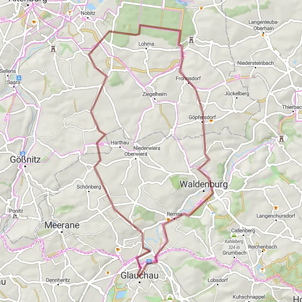
Embark on a thrilling gravel bike journey through Glauchau's scenic landscapes
Discover Glauchau's hidden gems and immerse yourself in nature with this 62 km gravel route. With a moderate difficulty level, it offers the perfect balance between adventure and scenic beauty. Highlights include the Aussichtspunkt Muldenwarte, a viewpoint offering breathtaking vistas, and Auersberg, a challenging climb guaranteeing a sense of epicness. Experience the thrill of riding off-road and enjoy the serene surroundings as you traverse through the picturesque countryside.
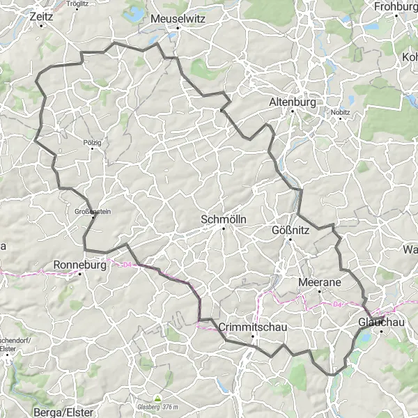
Explore the Thuringian Heartland
A scenic road route through the heart of Thuringia, Germany
This road route takes you on a scenic journey through the heart of Thuringia, Germany, covering a distance of 90 km with an ascent of 760 meters. The highlights along the way include Heyersdorf, Göllnitz, and Altenburg. This route is suitable for well-trained amateur cyclists looking for a moderately challenging ride. The difficulty level is rated as 2 out of 5 and the epicness level is rated as 3 out of 5.
Neukirchen / Pleiße Loop
Embark on a scenic road cycling journey, exploring the beautiful Neukirchen / Pleiße area and its charming towns.
This 109-kilometer road cycling route takes you through the picturesque Neukirchen / Pleiße area, offering stunning landscapes and a variety of interesting highlights. The route is suitable for experienced amateur cyclists who enjoy moderate climbs and longer distances. Highlights of the route include the Kreuzberg, a hill offering panoramic views of the surrounding countryside, and the historic town of Neukirchen / Pleiße, known for its well-preserved medieval architecture. Other notable highlights include the Butterberg, a popular local landmark with fantastic vistas, and the Lipprandis, a hill with ancient archaeological sites and stunning nature. Overall, this route provides a challenging yet rewarding cycling experience.
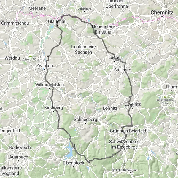
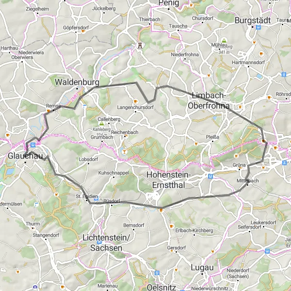
Cycling through the beautiful Ore Mountains region in Germany
The Ore Mountains Loop is a stunning cycling route that takes you through the picturesque Ore Mountains region in Germany. With a total distance of 118 km and an ascent of 1830 meters, this road route is suitable for well-trained amateur cyclists looking for a challenging ride. The route starts in Glauchau and passes through highlights such as Gersdorf, Zwönitz, and Zwickau. The difficulty level is rated as 3 out of 5 and the epicness level is rated as 4 out of 5.
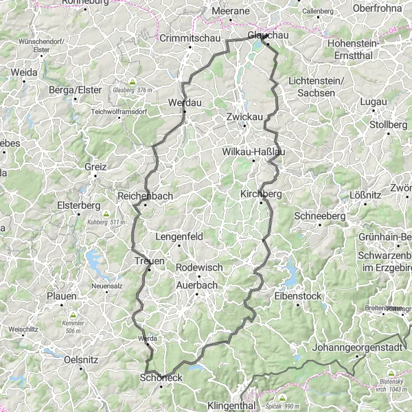
Embark on an epic road cycling adventure through the hilly landscape of Kirchberg and its surrounding areas.
This 145-kilometer road cycling route is perfect for experienced cyclists looking for a challenging and scenic ride. The route takes you through the hilly landscape of Kirchberg, offering stunning views along the way. Highlights of the route include the Stangendorf area, known for its beautiful countryside, and the Schützenhöhe, a hill with panoramic views of the surrounding valleys. Other notable highlights include the picturesque town of Schöneck and the historic village of Treuen. This route is suitable for well-trained amateur cyclists who are comfortable with longer distances and challenging climbs.
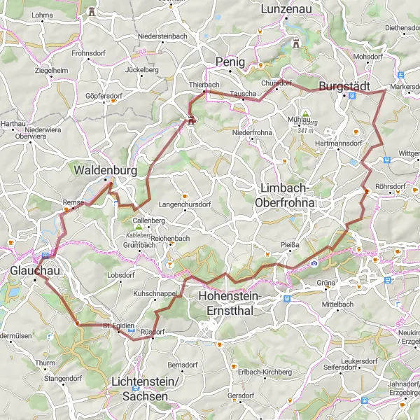
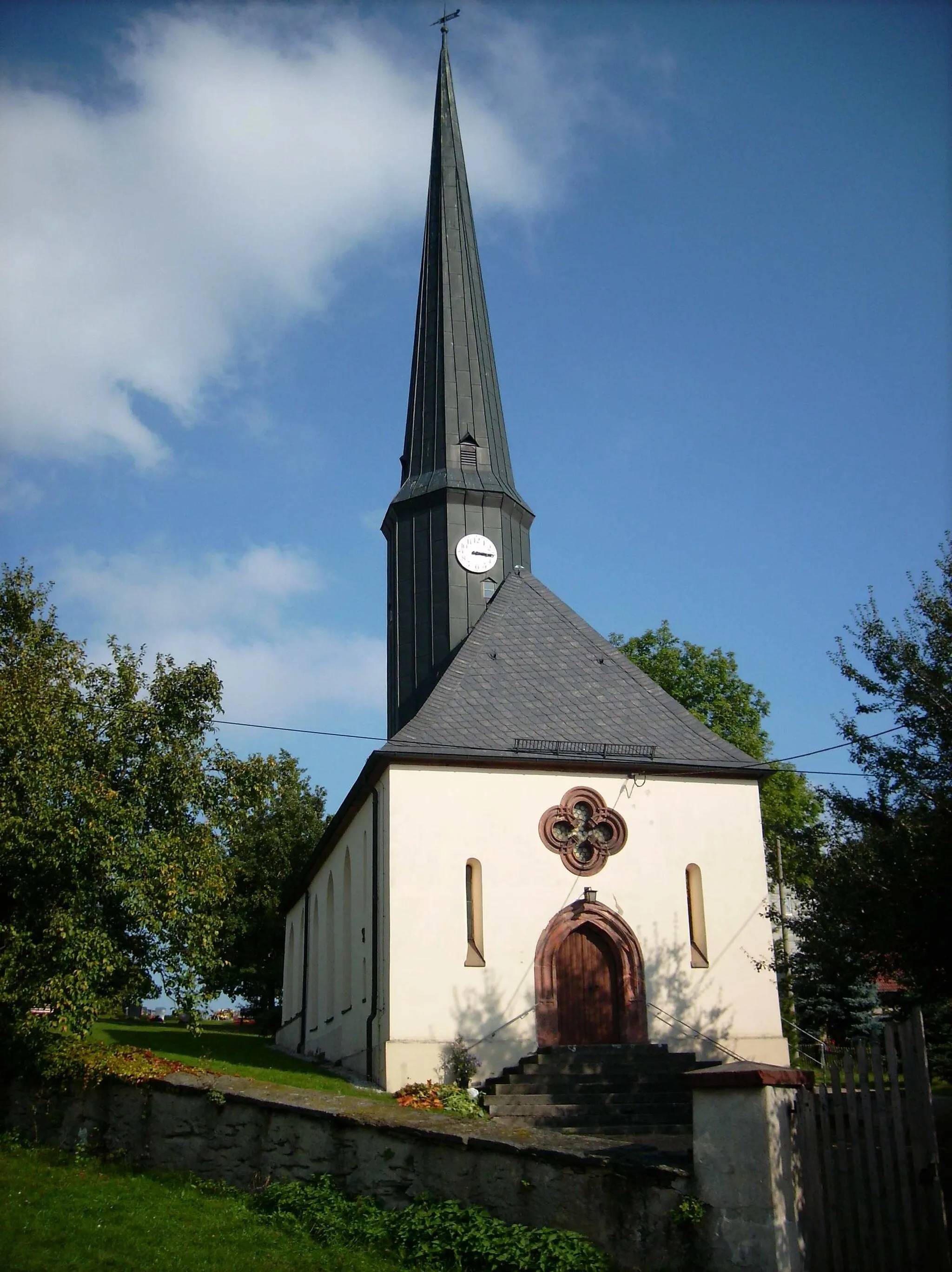
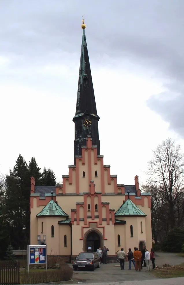
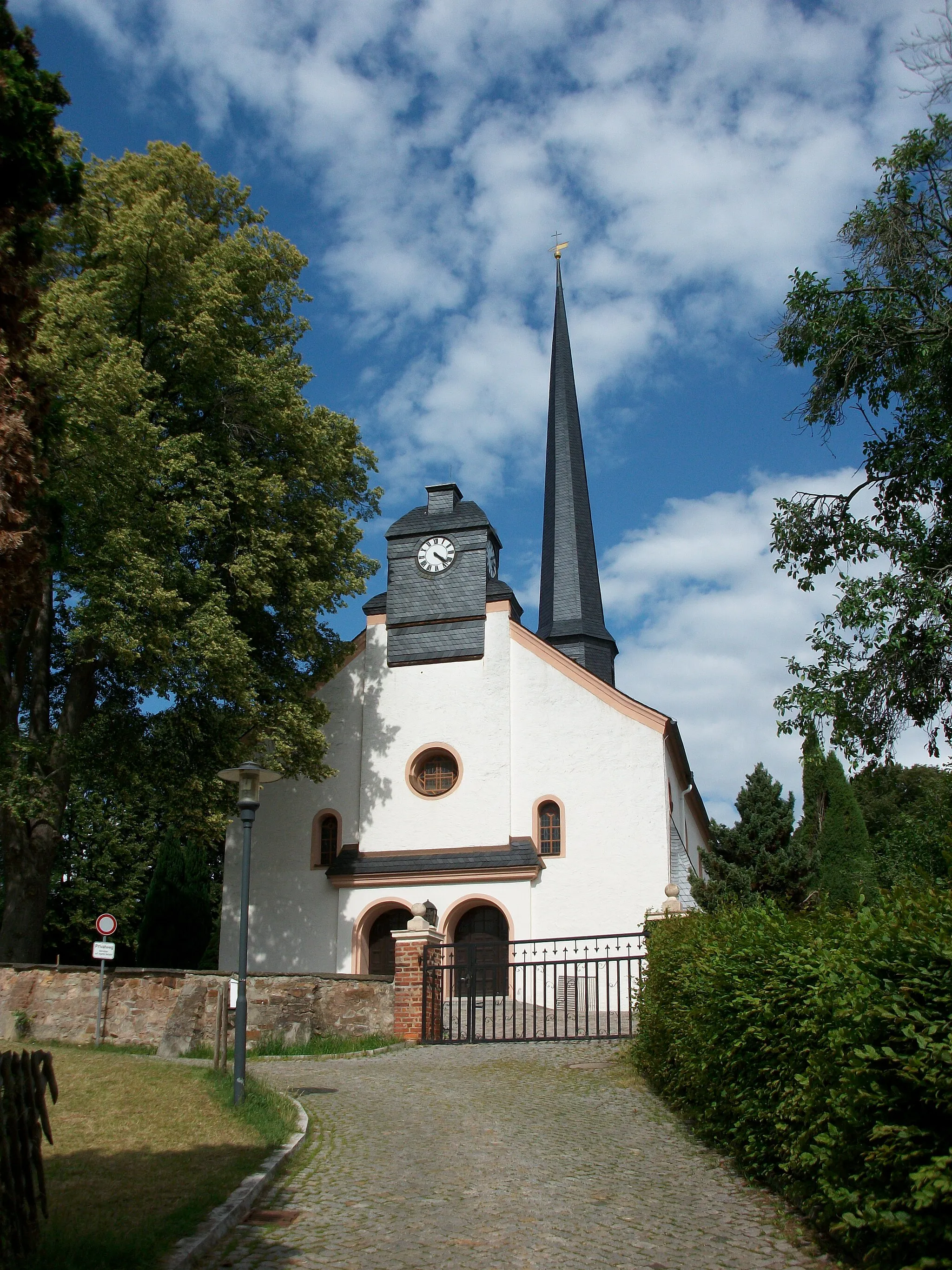
Discover the scenic beauty and rich history of the Mühlberg area, cycling through picturesque landscapes and visiting ancient castles.
This 64-kilometer gravel cycling route takes you on a journey through the beautiful Mühlberg area, known for its picturesque landscapes, charming towns, and intriguing castle ruins. The route offers a moderate challenge, making it suitable for gravel enthusiasts with some cycling experience. Highlights of the route include the Mühlberg region, with its rolling hills and scenic vistas, and the St. Egidien area, boasting a beautiful church and historic landmarks. Other notable highlights include the Hohndorf, a charming village with a rich history, and the Gemeindeberg, offering panoramic views of the surrounding countryside. This route promises a delightful blend of natural beauty and cultural discovery.
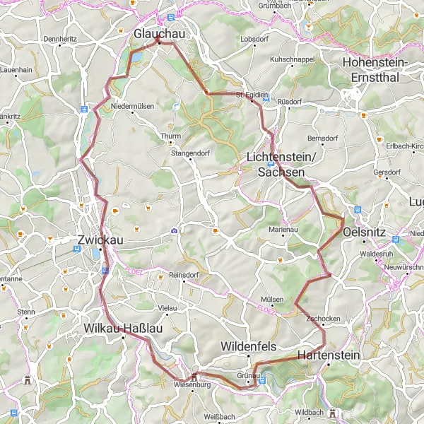
An adventurous gravel route exploring the scenic countryside near Glauchau
For those seeking an off-road adventure, this gravel route offers a thrilling ride through the scenic countryside near Glauchau. Covering a distance of 73 km and with an ascent of 881 meters, this route is suitable for experienced amateur cyclists looking for a challenge. The highlights along the way include Remse, Ullersberg, and St. Egidien. The difficulty level is rated as 4 out of 5 and the epicness level is rated as 3 out of 5.
Cycling routes nearby:


Nearby regions: