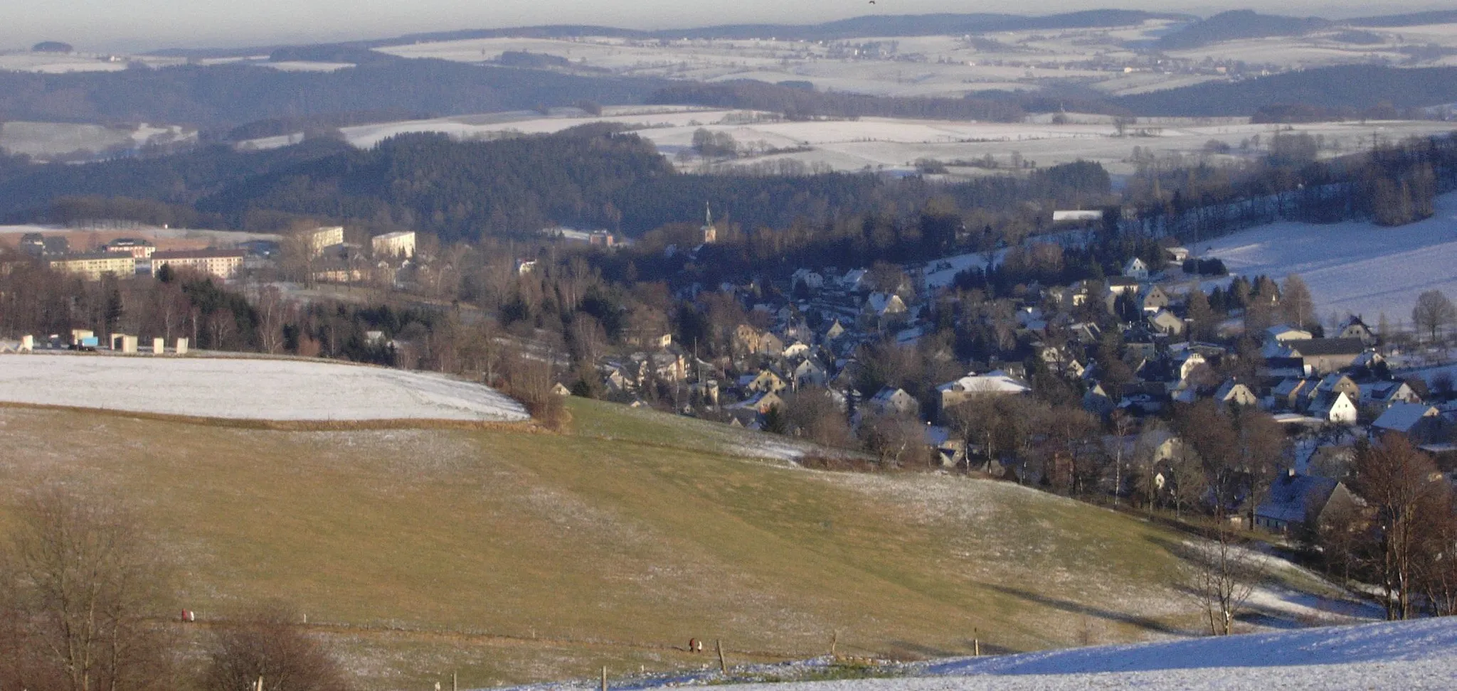
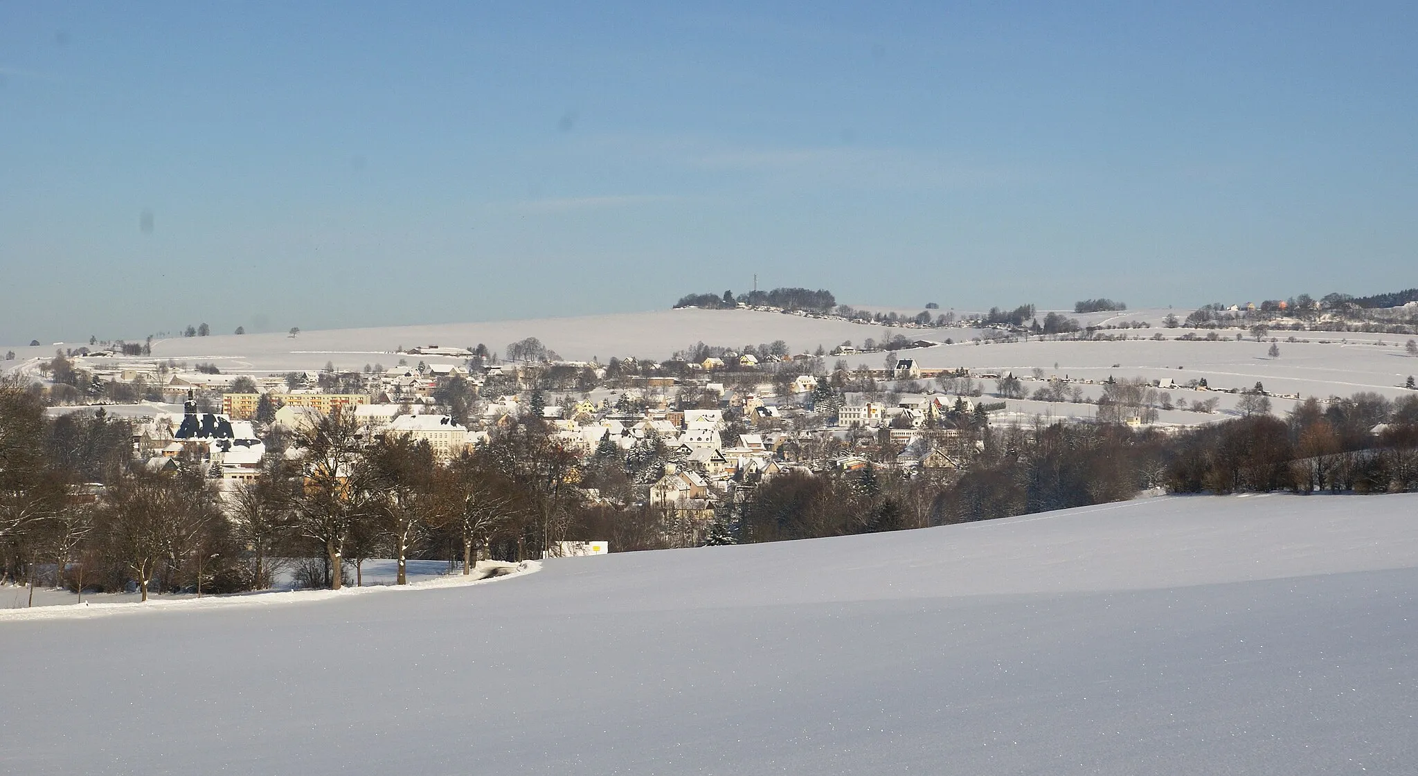
Cycling Adventure in the Forests of Gornau
Cycling routes from Gornau
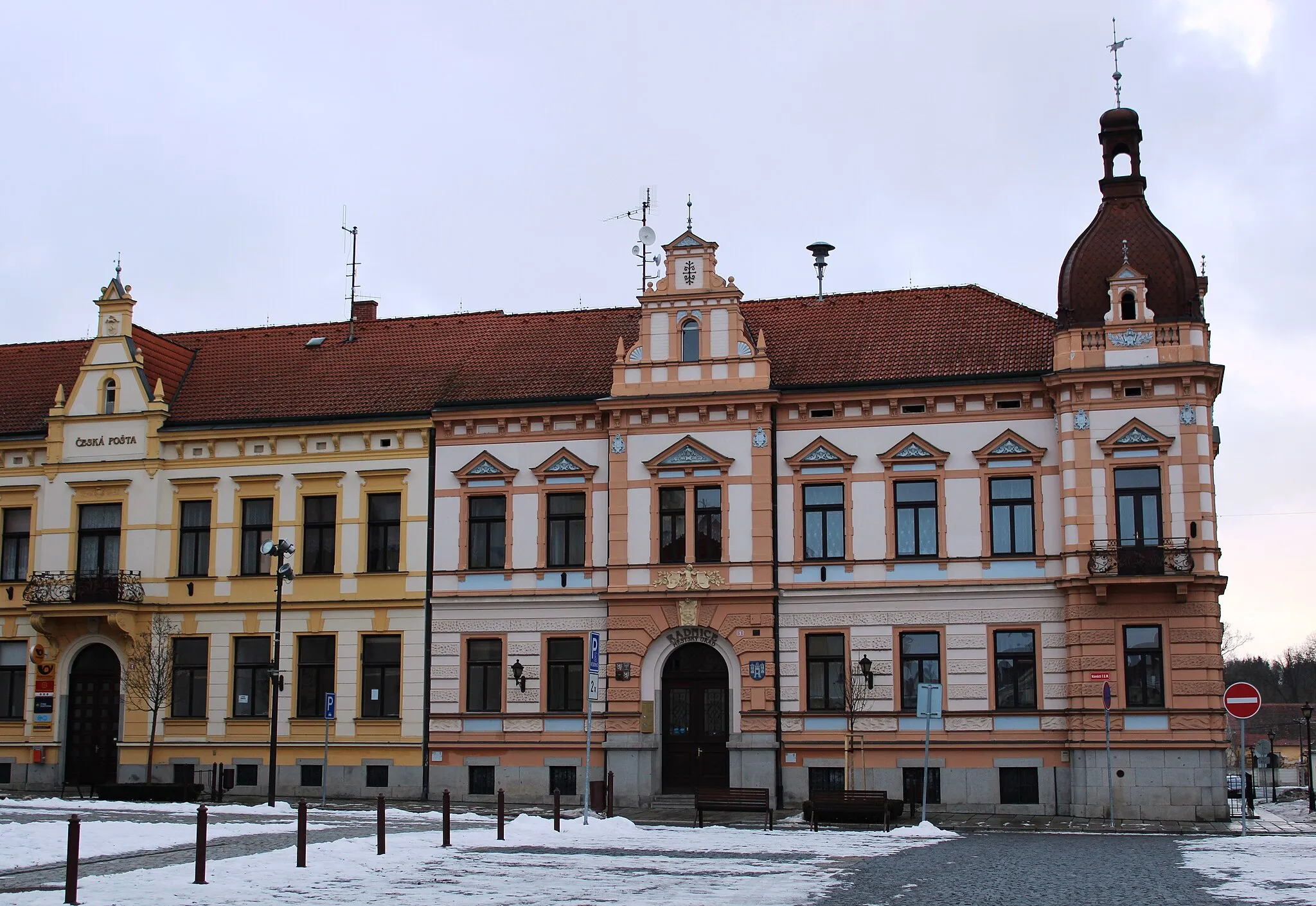
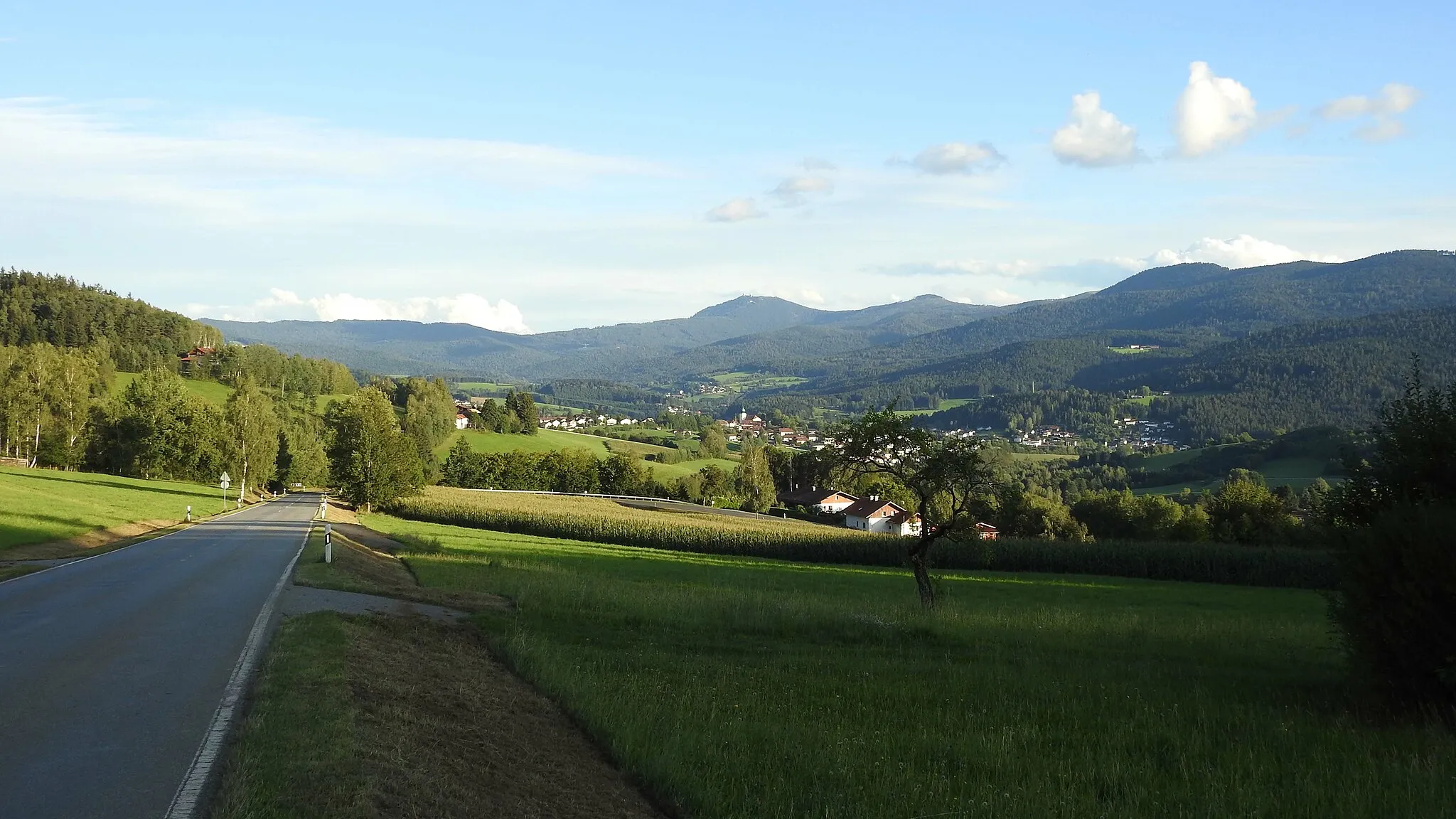
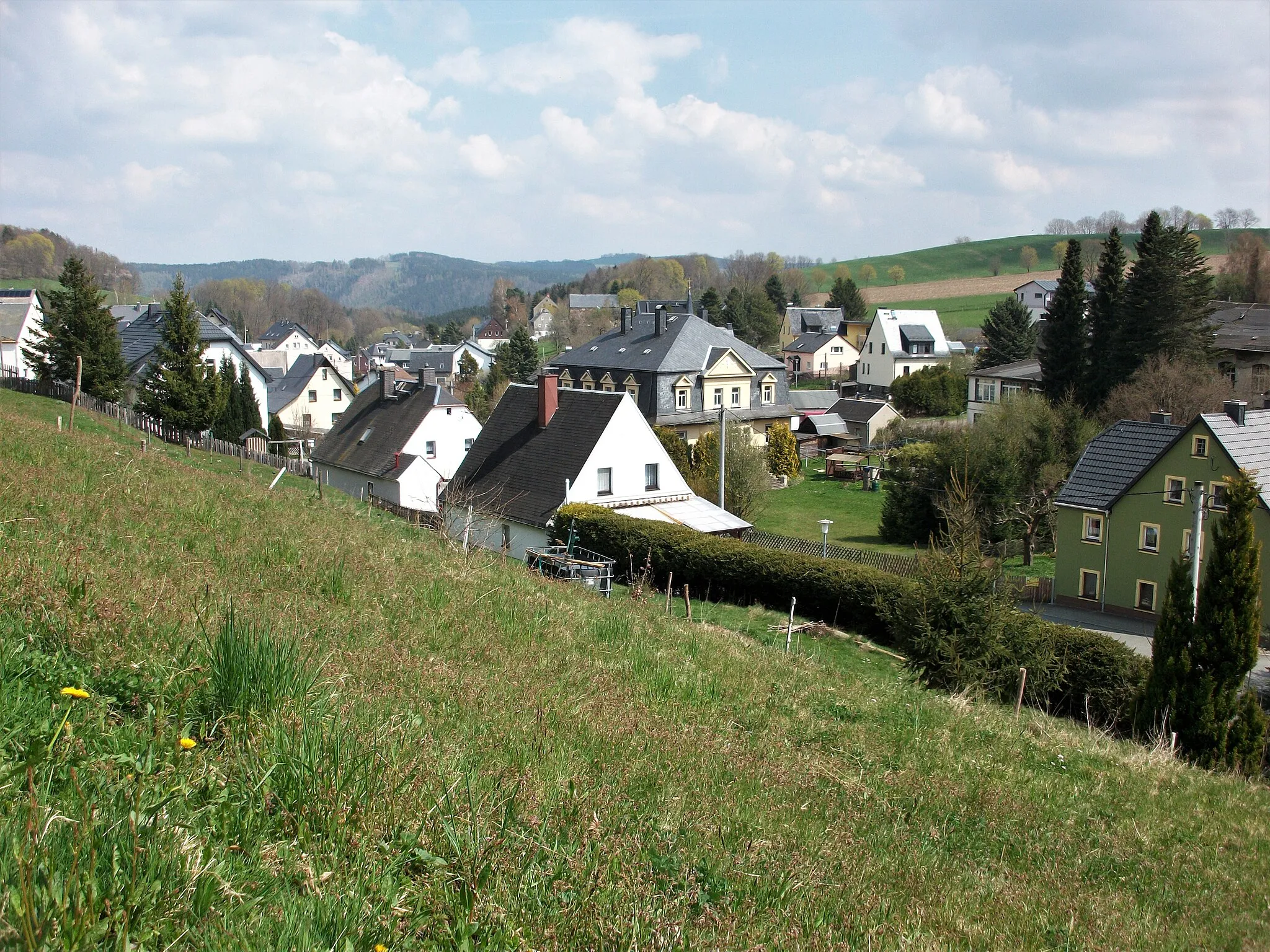
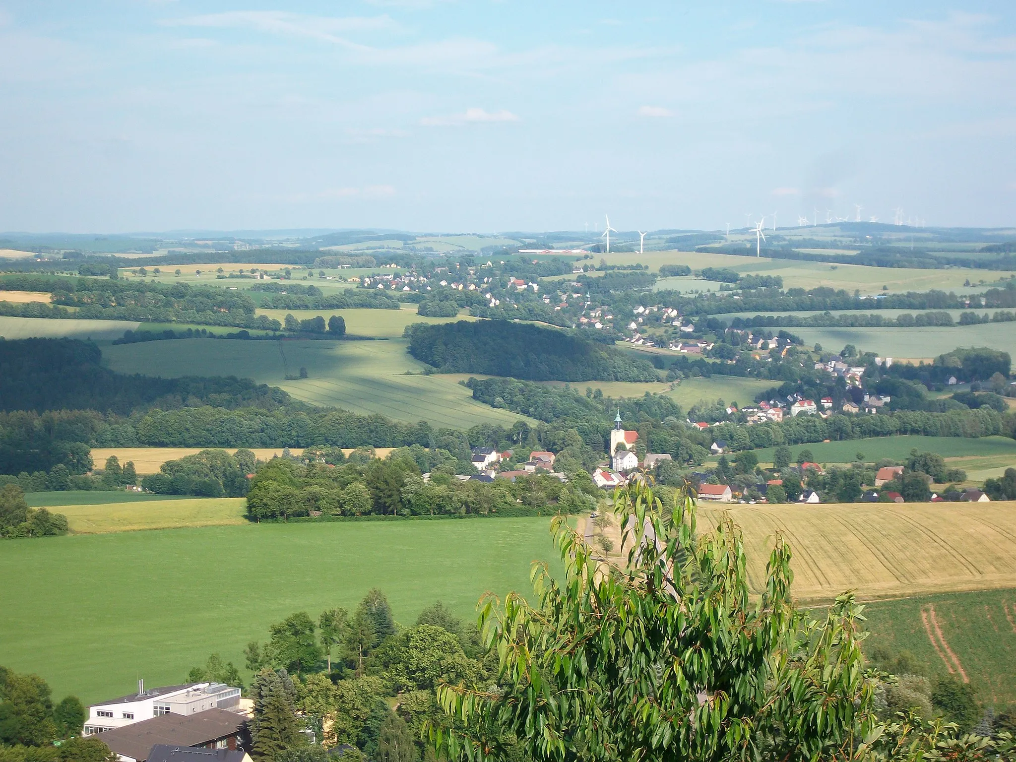
Gornau is a locality in Chemnitz, Germany. It offers a range of cycling opportunities for both road and gravel cyclists. The roads are well-paved and suitable for long rides. The surrounding area features beautiful forests and rolling hills, providing a scenic backdrop for cycling. Gornau is also located near the seat of the annual cycling event Erzgebirgsrundfahrt, which attracts participants from all over Europe. Cyclists visiting Gornau can look forward to a diverse range of routes and beautiful natural landscapes.
Embark on an exhilarating journey through challenging hills and picturesque landscapes near Gornau.
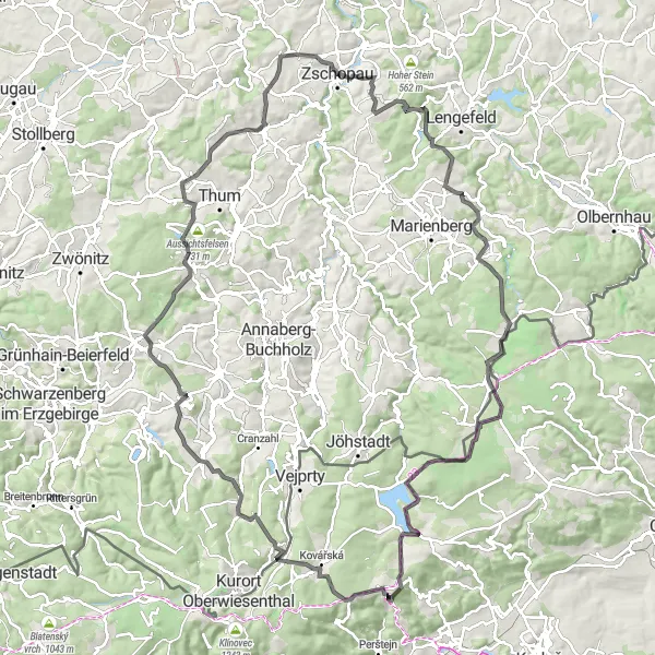
This route takes you on a thrilling cycling adventure, covering a total distance of 125 km and an astonishing ascent of 2253 meters. It is perfect for experienced cyclists looking to test their endurance and explore the beautiful surroundings of Gornau. Along the way, you will encounter several highlights, such as Dicker Heinrich, Neunzehnhain, Lauterbach, and Goldkrone. These highlights offer captivating views, unique landmarks, and a deep connection to the history and culture of the region. The route combines challenging climbs with rewarding descents, providing a thrilling experience for avid cyclists. The overall appeal of this route lies in its combination of natural beauty, historical heritage, and physical intensity.
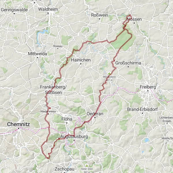
Embark on an epic gravel adventure and visit the historic Otterberg
This 109-km gravel route takes you on an adventurous journey through various landscapes, from rolling hills to forest paths. One of the highlights of this route is the historic Otterberg, a cultural landmark with a rich history. With a challenging climb and a descent that rewards cyclists with stunning views, this route is suitable for more experienced riders. The epicness level of this route is a 4, offering a thrilling adventure for those seeking a unique cycling experience.
Nature and History Trail
Immerse yourself in the natural beauty and rich history of the region
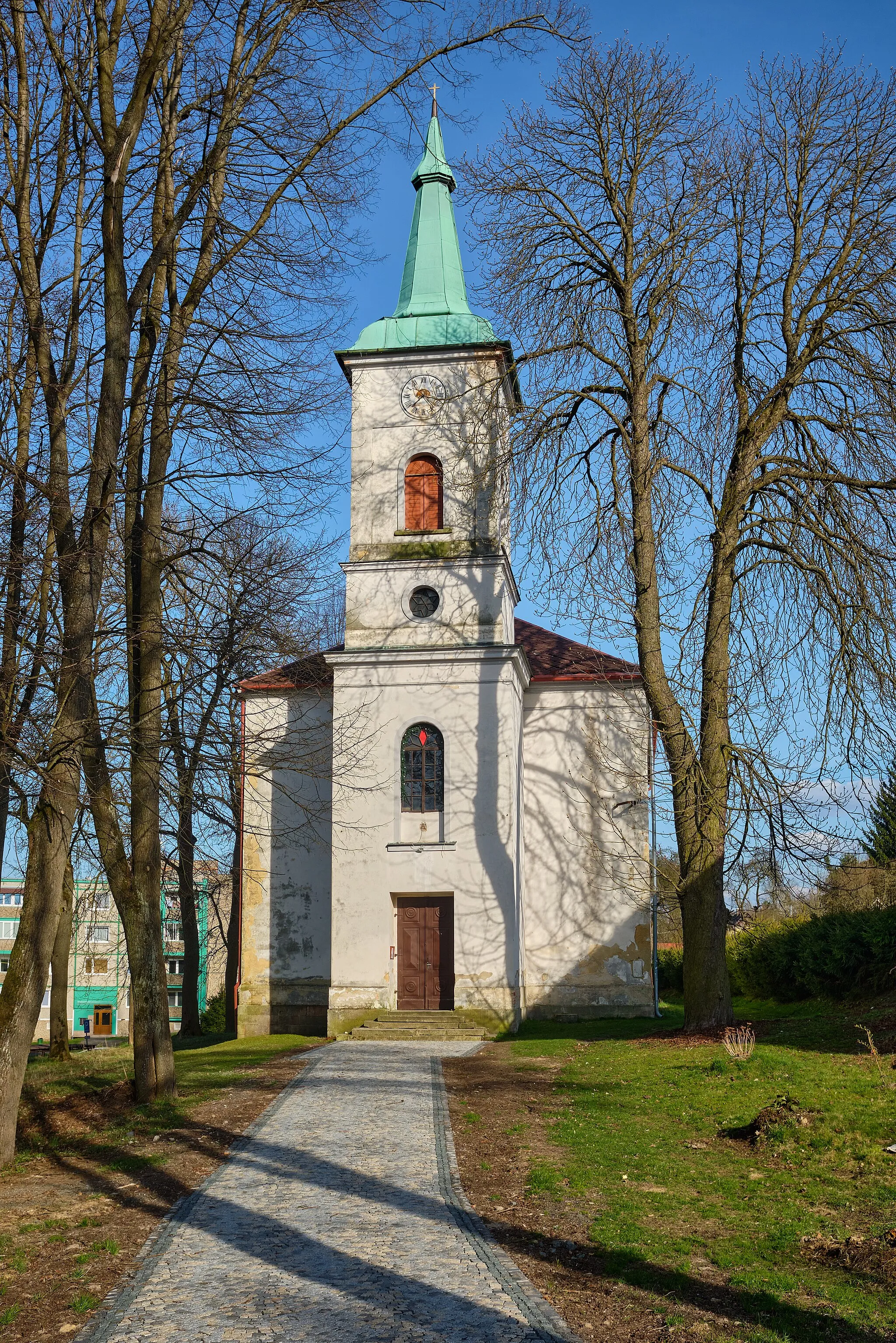
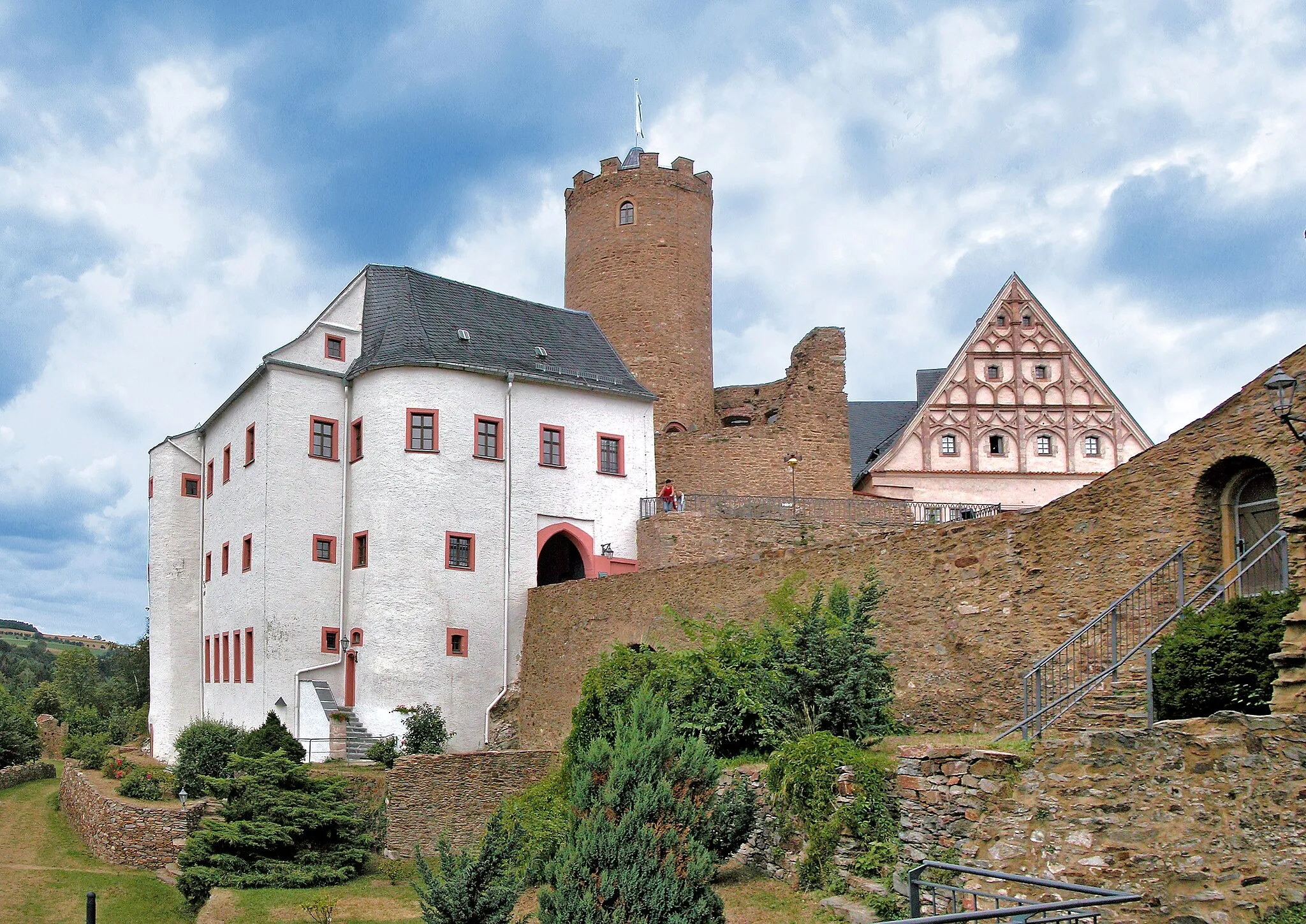
The Nature and History Trail is a 69 km cycling route with an ascent of 873 meters. This route offers a perfect blend of nature and history, taking you through picturesque landscapes and significant historical sites. Highlights along the route include the quaint village of Dittersdorf, the majestic Burgstein castle ruins, and the scenic viewpoint of Erzgebirgsbalkon. With a difficulty rating of 2, this route is suitable for moderately trained amateur cyclists.
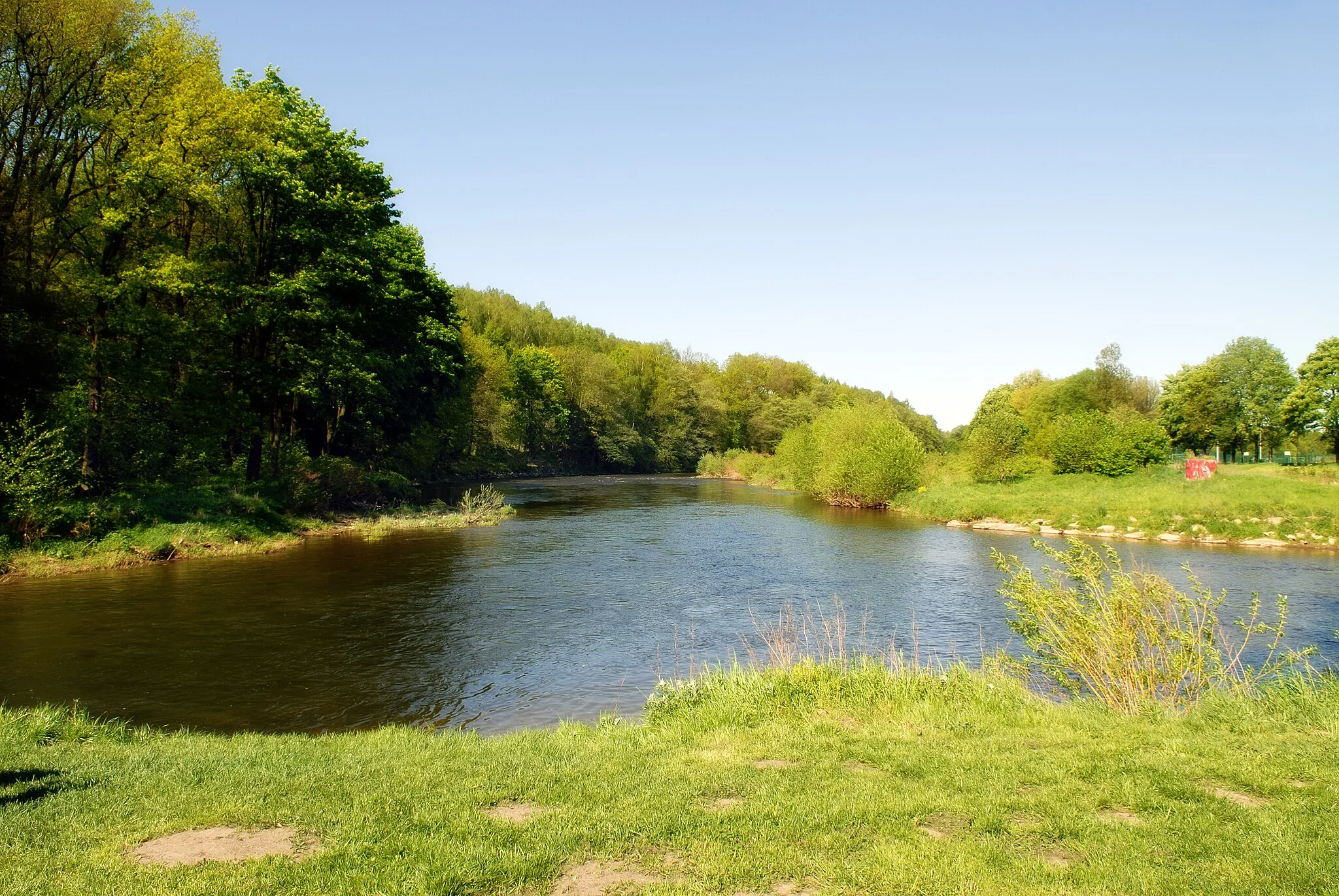
Cycle through the beautiful Zschopau Valley and see the Gänsediebbrunnen fountain
This 36-km gravel route takes you through the picturesque Zschopau Valley, where you can enjoy scenic views of the river and surrounding nature. One of the highlights is the Gänsediebbrunnen fountain, a historic landmark along the route. With a total ascent of 864 meters, this route offers a moderate challenge for cyclists. The epicness level of this route is a 3, providing a enjoyable experience for cyclists of various skill levels.
Chemnitz and Surroundings
Explore the diverse landscapes and stunning views around Chemnitz
The Chemnitz and Surroundings route takes you through a variety of landscapes, offering a diverse and scenic cycling experience. The route covers a distance of 73 km with an ascent of 910 meters. As you ride, you'll pass through charming villages, dense forests, and rolling hills. The highlights along the route include the Dittersdorfer Höhe, offering panoramic views, the unique rock formations of Felsendome Rabenstein, and the historic Galgenberg. With a difficulty rating of 3, this route is suitable for well-trained amateur cyclists.
Embark on an exciting gravel adventure through scenic routes
The Gravel Adventure is a 40 km cycling route with an ascent of 873 meters. This off-road adventure takes you off the beaten path, exploring scenic gravel routes and enjoying the beauty of the surrounding nature. Highlights along the route include the Galgenberg, offering unique rock formations, and the charming Gänsediebbrunnen fountain. With a difficulty rating of 2, this route is suitable for moderately trained amateur cyclists.
Experience the thrill of a challenging countryside cycling adventure
The Scenic Countryside Challenge is a 99 km cycling route with an ascent of 1587 meters. This challenging route takes you through the beautiful countryside, providing a true test of cycling skills. Highlights along the route include the picturesque Dittmannsdorf, the stunning Lößnitztal valley, and the enchanting Hexentanzplatz. With a difficulty rating of 4, this route is recommended for experienced and well-trained cyclists.
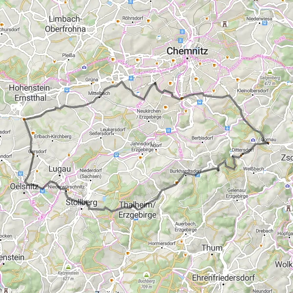
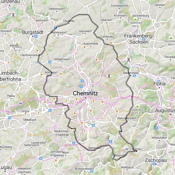
The Heights and Hills of Gornau
Experience the breathtaking heights and challenging hills in Gornau and its surroundings.
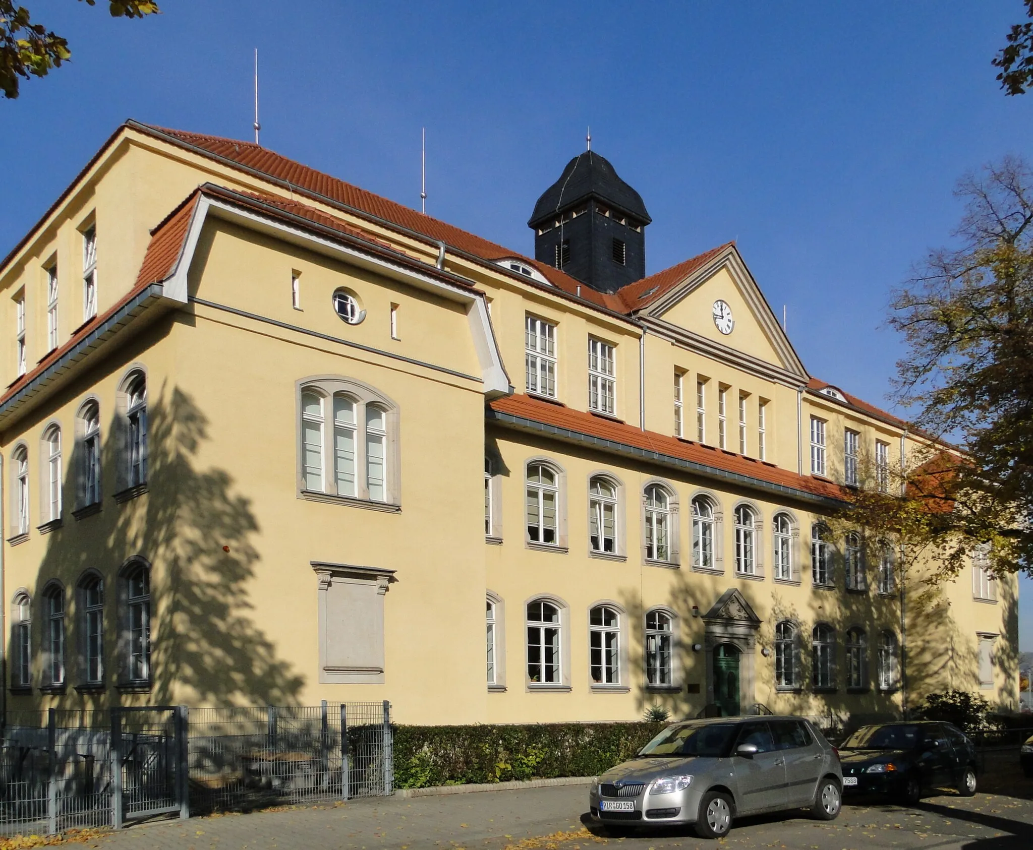
This route takes you on a cycling adventure through Gornau and its stunning surroundings. With a total distance of 134 km and an impressive ascent of 1588 meters, this route is ideal for those looking for a challenge. As you cycle through the region, you'll pass by several highlights, including Dittersdorfer Höhe, Schule Altchemnitz, and Burgstädt. These highlights offer picturesque views and interesting historical landmarks that are definitely worth a stop. Overall, the route provides a mix of scenic beauty, cultural heritage, and physical exertion, making it a truly memorable cycling experience for enthusiasts of all levels.
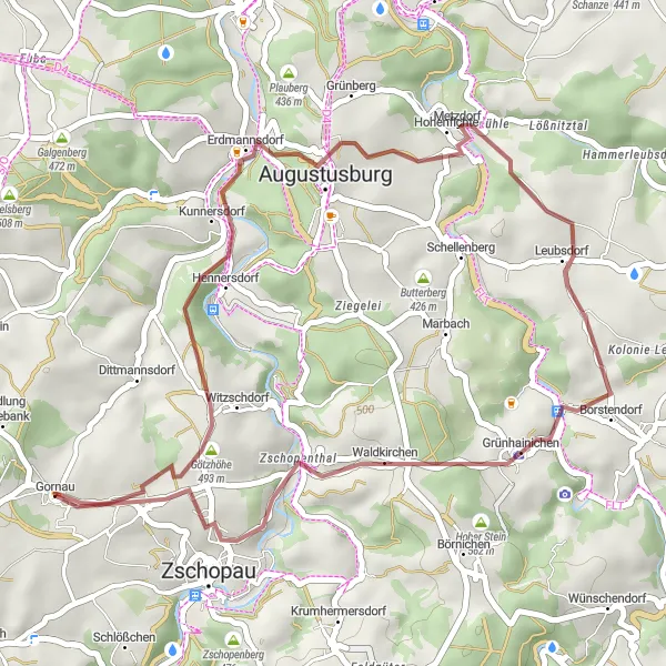
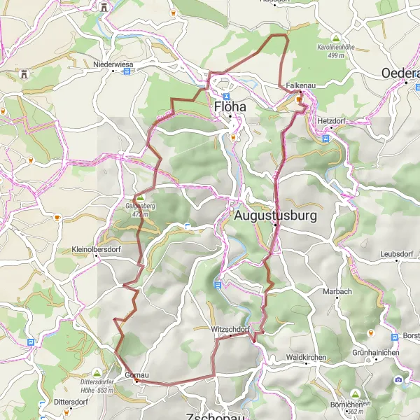
Gornau Gravel Adventure
Explore the untamed beauty of Gornau on this thrilling gravel adventure.
Embark on a challenging gravel ride through the stunning countryside of Gornau. With a total ascent of 1957 meters over a distance of 89 kilometers, this route promises to test your endurance and skills. The route takes you to various highlights, including the impressive Wildenstein and the magnificent Große Freilandspieldose von Wendt & Kühn. This route is perfect for experienced gravel cyclists looking for an exciting off-road adventure.
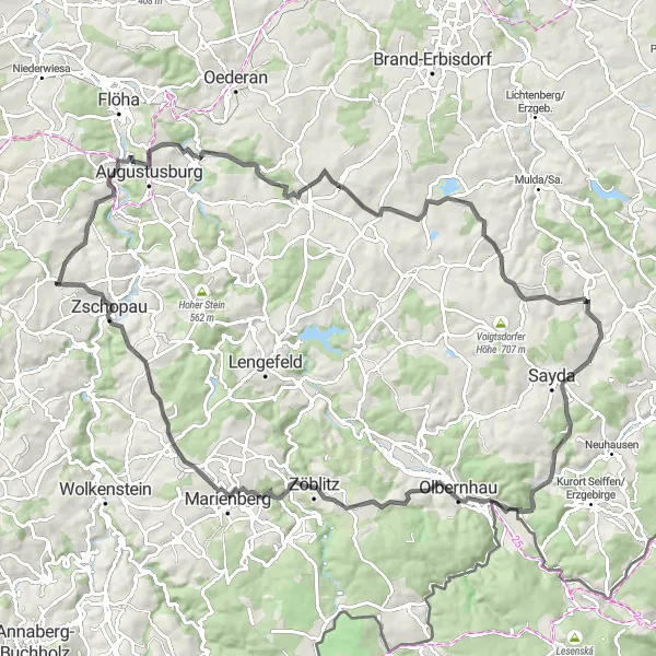
Take on the ultimate gravel challenge through rugged terrains
The Ultimate Gravel Challenge is a 103 km cycling route with an ascent of 1875 meters. This extreme off-road adventure is designed for experienced gravel cyclists seeking a true challenge. Highlights along the route include the stunning views from Götzhöhe, the unique Grundablass-Keilovalschieber DN1200, and the breathtaking Hallbach. With a difficulty rating of 5, this route is only recommended for highly skilled cyclists seeking a legendary challenge.
Cycling routes nearby:
Nearby regions: