Cycling paradise in Chemnitz, Germany
Cycling routes from Hohenstein-Ernstthal
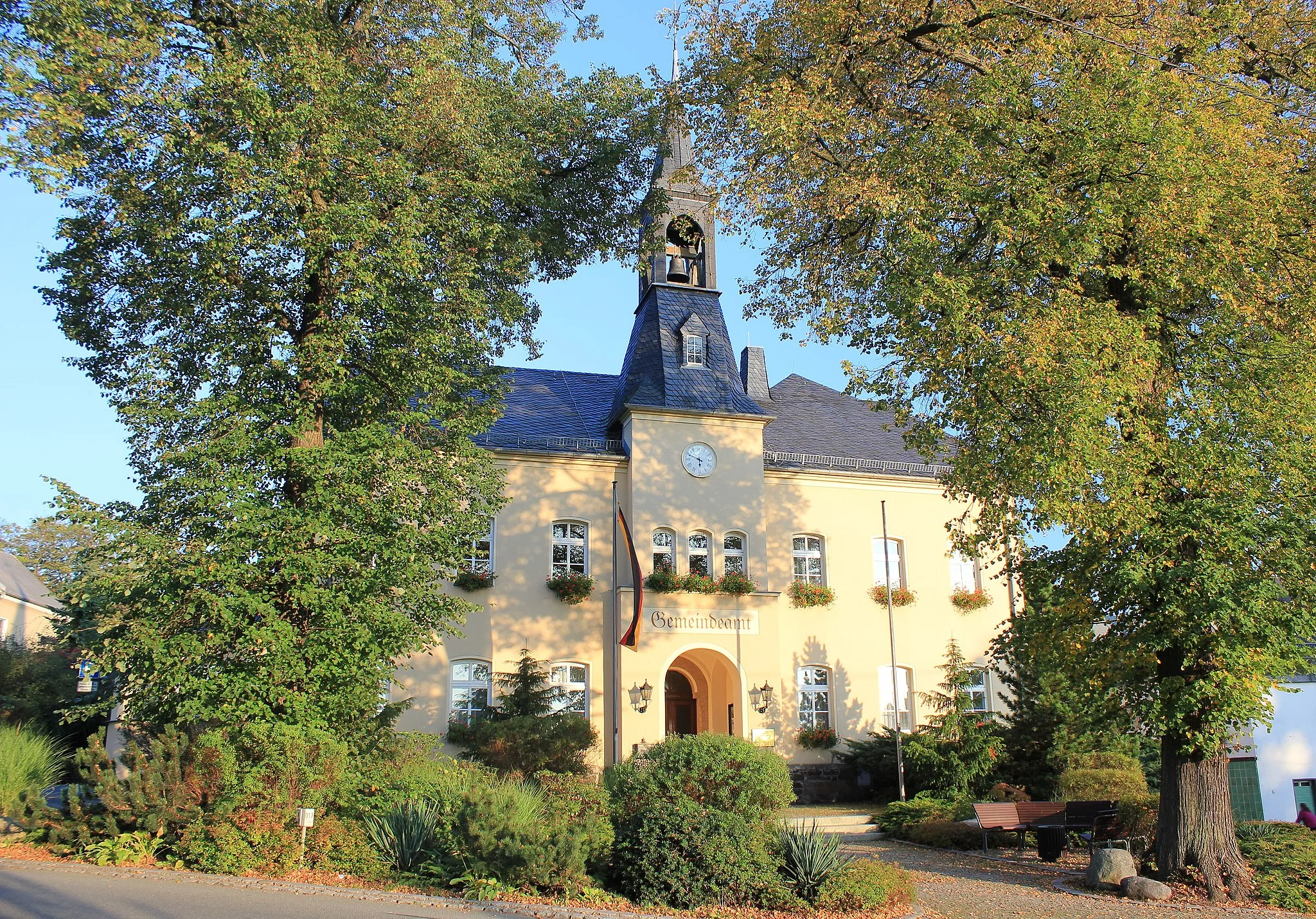
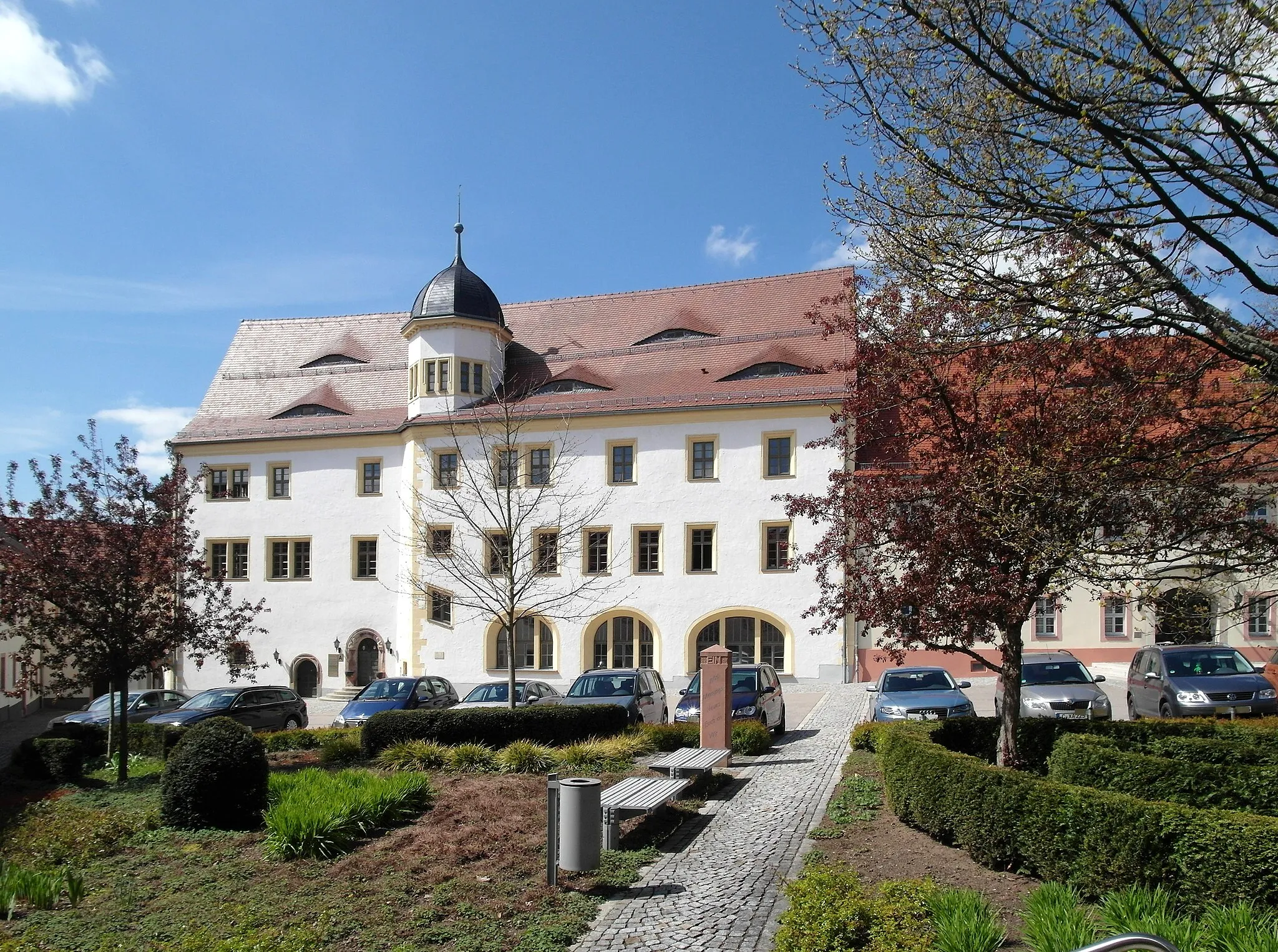
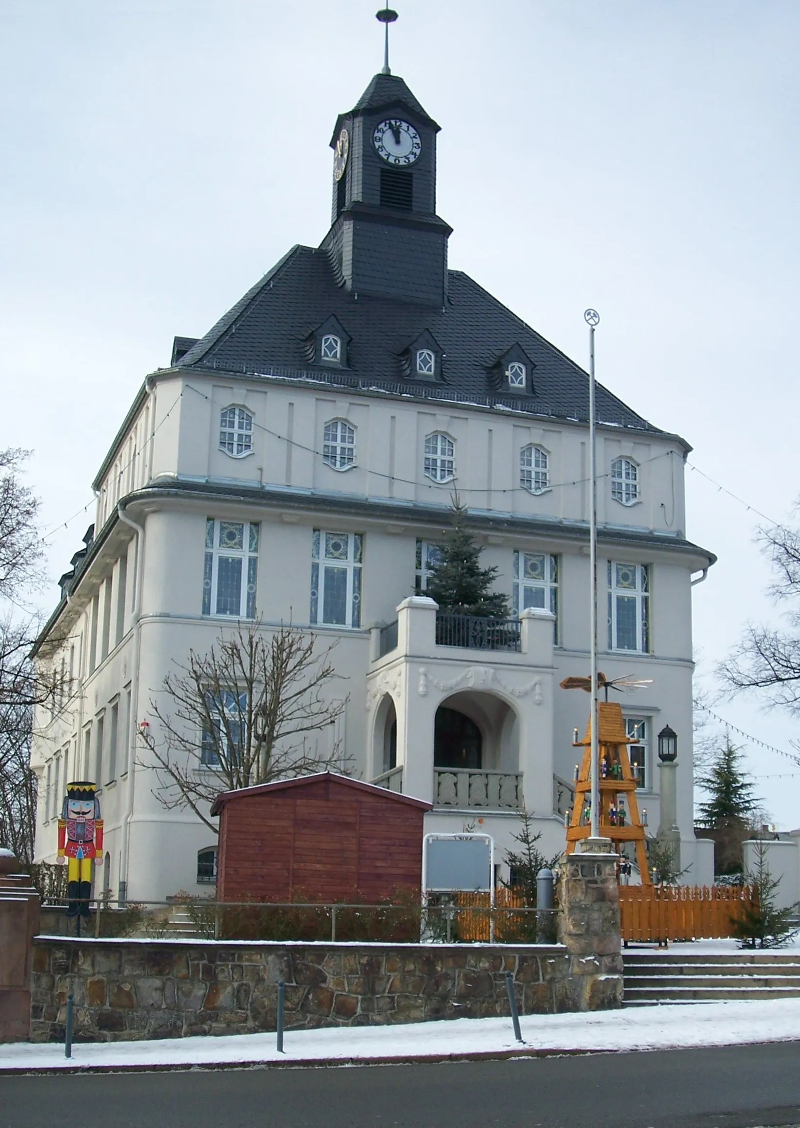
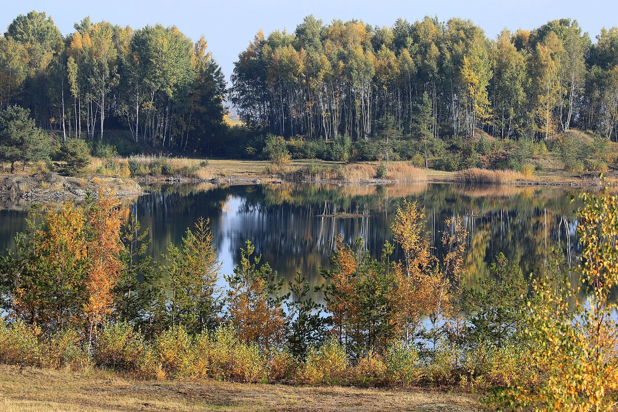
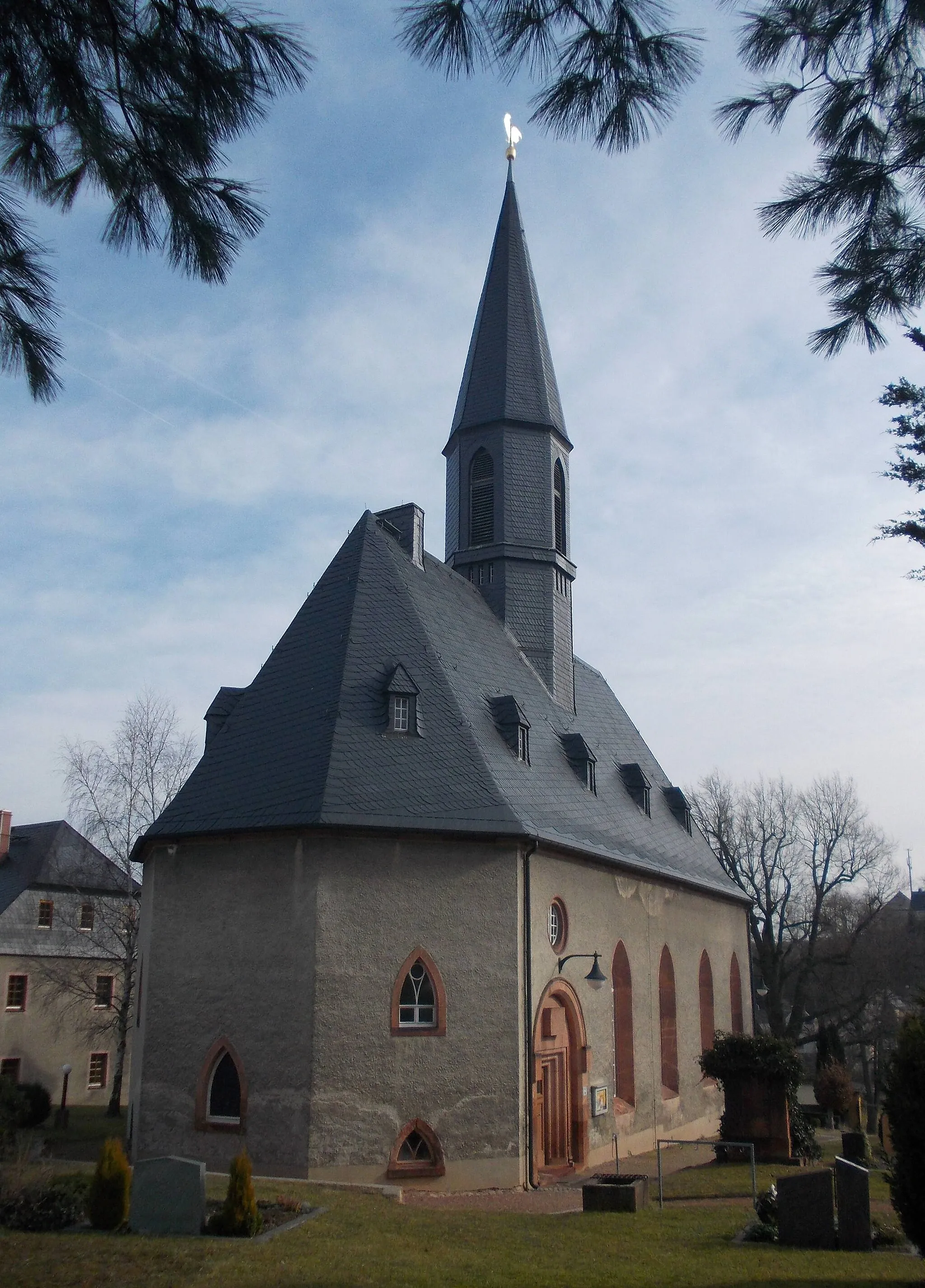
Hohenstein-Ernstthal is a town located in Chemnitz, Germany. For cyclists, Hohenstein-Ernstthal offers a mix of road cycling and gravel biking routes in a picturesque countryside setting. The area is known for its rolling hills and quiet roads, making it ideal for cycling. There are several well-known climbs nearby, including the famous Erzgebirge Mountains. With its scenic routes and challenging climbs, Hohenstein-Ernstthal is a destination that appeals to cyclists of all levels.

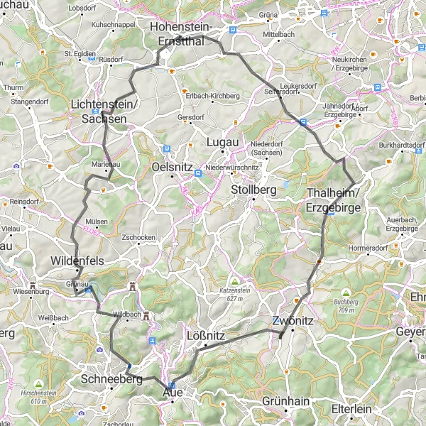
Venture into the thrilling gravel routes surrounding Hohenstein-Ernstthal
Embark on an adrenaline-fueled gravel adventure amidst the mesmerizing landscapes near Hohenstein-Ernstthal. This challenging route spans 90 kilometers, with an ascent of 1462 meters, making it ideal for thrill-seeking gravel enthusiasts. Traverse through rugged terrains, picturesque forests, and breathtaking viewpoints as you immerse yourself in the natural beauty of the region.
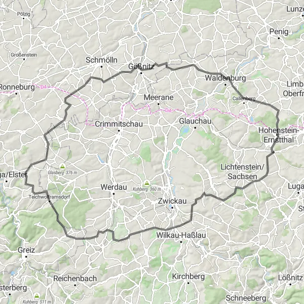
Embark on a legendary road cycling journey with a start at Hohenstein-Ernstthal
Embark on an extraordinary endurance challenge across the breathtaking landscapes near Hohenstein-Ernstthal. This epic route spans an impressive 116 kilometers, with an ascent of 1426 meters. Push your endurance limits as you conquer steep climbs and experience the thrill of challenging descents while admiring the picturesque beauty of the region.

Embark on a scenic gravel cycling ride near Borna-Heinersdorf, covering 50 kilometers with a total ascent of 490 meters.
This gravel cycling route near Borna-Heinersdorf offers breathtaking scenic views along the way. With a distance of 50 kilometers and an ascent of 490 meters, it is a rewarding ride suitable for intermediate level cyclists. Highlights include Limbach-Oberfrohna, an idyllic spot located 10 kilometers into the route. Continuing on, you will pass Hanneloren-Eiche, a natural wonder situated 11 kilometers into the route. Further along the route, you'll find Mittelbach, a picturesque village that adds charm to the journey. Your cycling adventure concludes after exploring Knochen, a place offering opportunities to connect with nature.
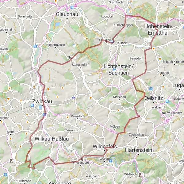
Cycle through the picturesque gravel routes surrounding Hohenstein-Ernstthal
Embark on a thrilling gravel ride through the stunning landscapes near Hohenstein-Ernstthal. This demanding route spans 75 kilometers, with an ascent of 1062 meters. Challenge your skills on challenging terrains and enjoy the scenic beauty along the way.
Discover the picturesque roads of Hohenstein-Ernstthal and its surroundings
Escape into the natural beauty surrounding Hohenstein-Ernstthal on this captivating road cycling tour. Covering a distance of 80 kilometers, with an ascent of 1248 meters, this route offers a perfect blend of challenge and scenic landscapes. Immerse yourself in the charming villages, rolling hills, and enchanting forests as you pedal along the dreamy paths.
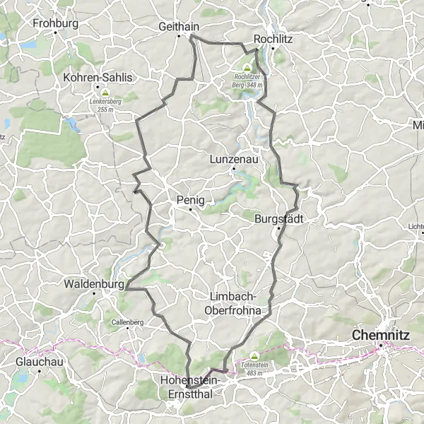
Embark on a challenging road cycling loop filled with historic highlights, covering a distance of 82 kilometers and an ascent of 971 meters.
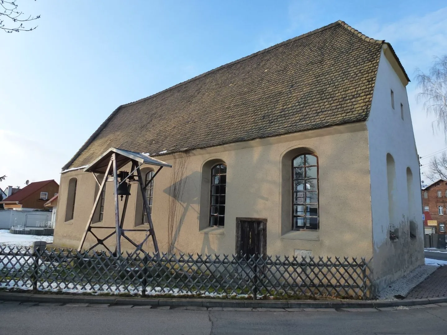
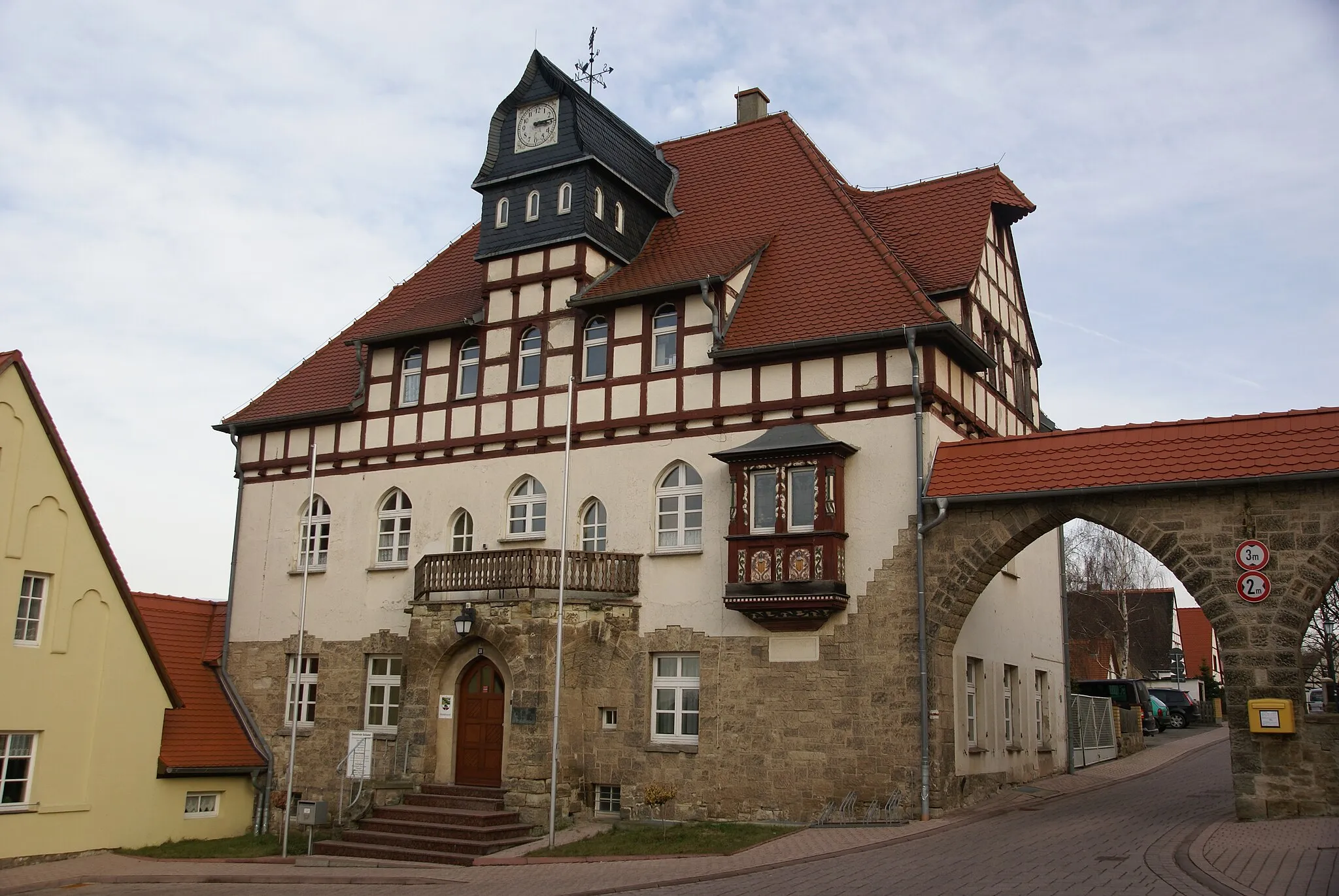
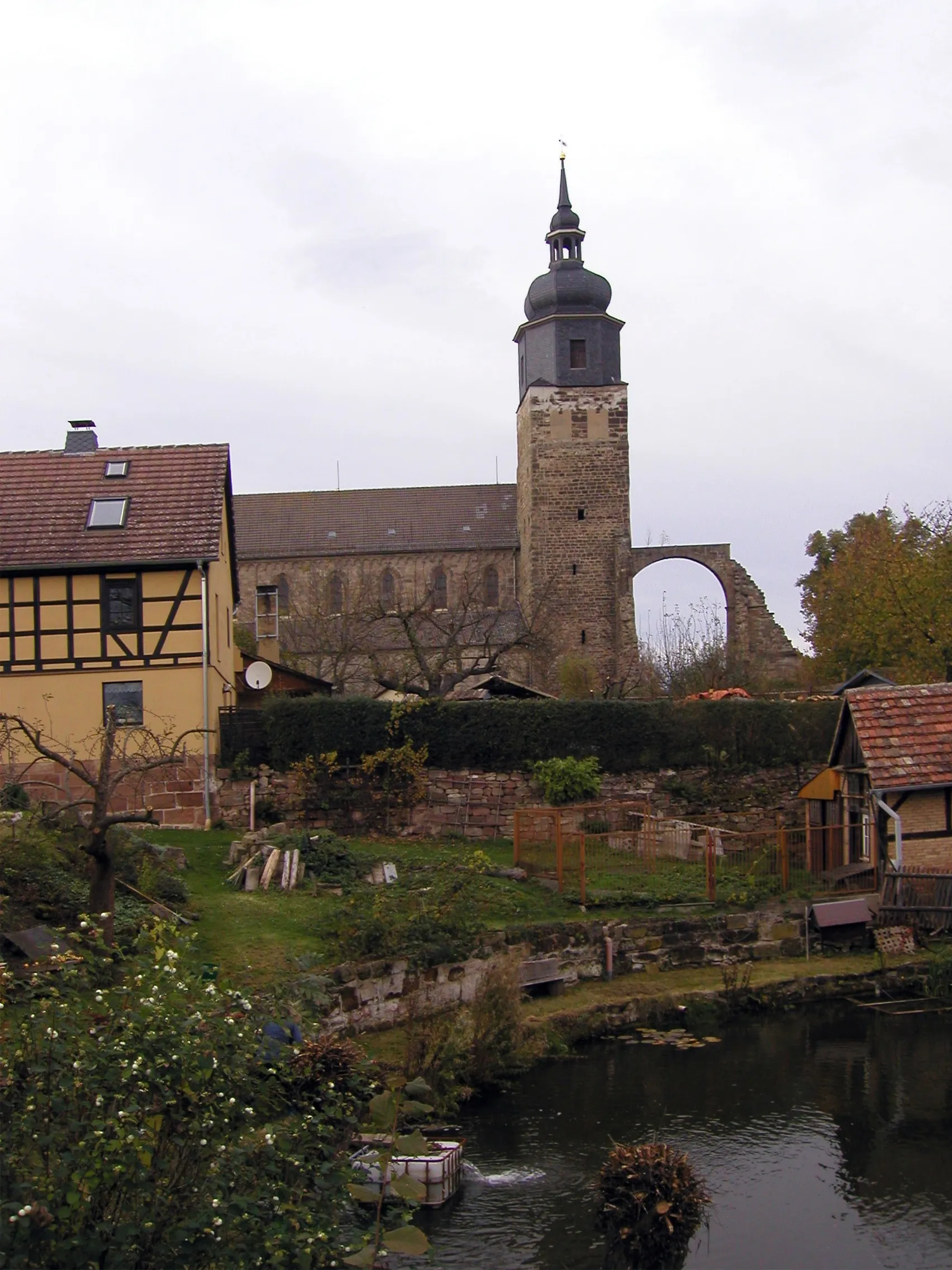
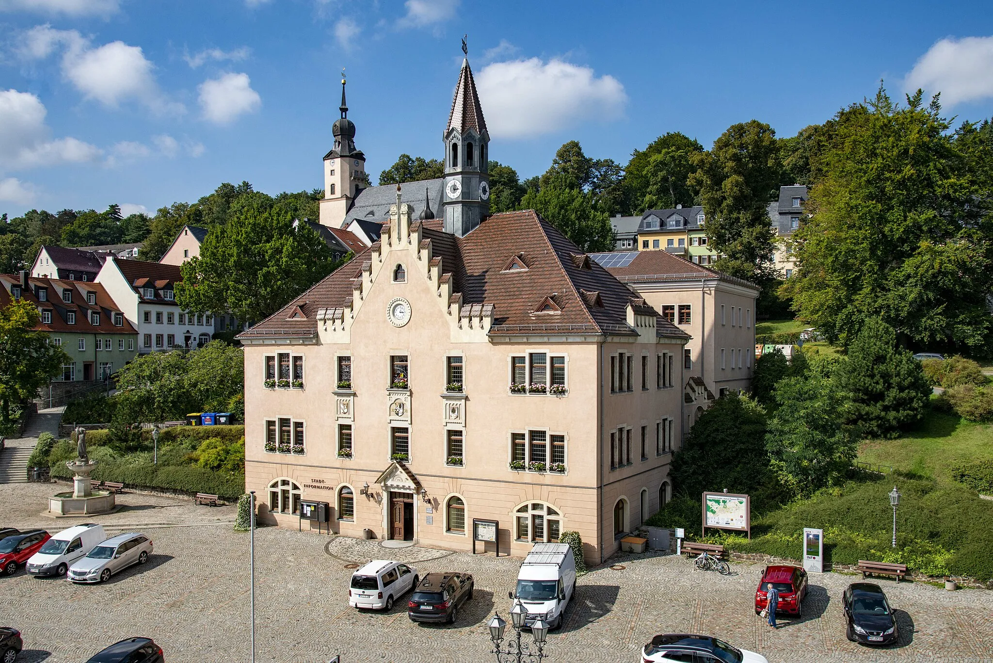
This challenging road cycling loop incorporates historic highlights along its course. With an ascent of 971 meters and a distance of 82 kilometers, it is suitable for experienced cyclists. Notable highlights along the route include Warte, an impressive historical landmark situated 17 kilometers into the route. Continuing on, you will pass Schloss Wolkenburg, revealing the beauty of a captivating castle. The journey also features Burgstall and Wechselburg, showcasing the rich history of the region. Conclude your adventure in Hohenstein-Ernstthal, a town known for its historical significance.

Embark on an exhilarating road cycling adventure starting from Hohenstein-Ernstthal
Discover the beauty of Hohenstein-Ernstthal and its surroundings through this challenging road cycling route. Spanning 97 kilometers, with an ascent of 1307 meters, this route is perfect for passionate road cyclists seeking an adrenaline rush. Experience the thrill of conquering mountainous climbs and enjoy breathtaking views at various points.
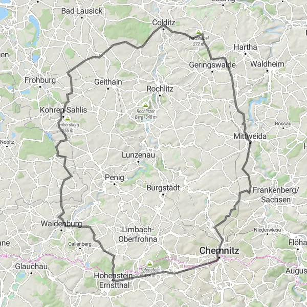
A scenic road cycling route from Hohenstein-Ernstthal to Chemnitz with a total ascent of 1118 meters.
This road cycling route takes you from Hohenstein-Ernstthal to Chemnitz, offering picturesque views along the way. With a total distance of 124 kilometers and an ascent of 1118 meters, the route is suitable for experienced cyclists. Highlights include Falken, a beautiful spot located 6 kilometers into the route. Continuing on, you will pass Hufeisen, a popular highlight situated 14 kilometers into the route. Further along the route, you'll find Putschelbank, a must-visit spot with breathtaking views located 36 kilometers into the route. Other highlights include Colditz Castle and König-Friedrich-August-Turm.
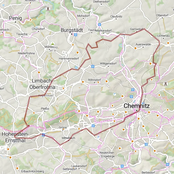
Embark on an adventurous gravel cycling experience near Hohenstein-Ernstthal, covering a distance of 61 kilometers with a total ascent of 479 meters.
This gravel cycling route takes you on an exciting adventure near Hohenstein-Ernstthal. With a distance of 61 kilometers and an ascent of 479 meters, it is suitable for intermediate level cyclists. Highlights include Limbach-Oberfrohna, a charming spot located 10 kilometers into the route. Continuing on, you will pass Hanneloren-Eiche, an impressive feature situated 11 kilometers into the route. Another standout spot along the way is the Rathausturm, offering beautiful views approximately 42 kilometers into the route. Conclude your memorable cycling tour in Hohenstein-Ernstthal.
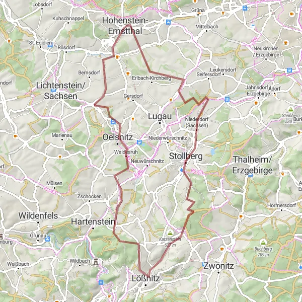
A thrilling gravel ride through scenic landscapes and historic villages
Embark on a gravel adventure starting near Hohenstein-Ernstthal, taking you through picturesque landscapes and charming villages. The route offers a mix of challenging climbs and fast descents, providing an exhilarating experience for gravel enthusiasts. Along the way, you will pass by several highlights, including Erlbach-Kirchberg, Niederdorf (Sachsen), Katzenstein, Lößnitz, Hundsberg, and Hohndorf. These points of interest add depth to the journey, showcasing the rich history and natural beauty of the region.
Cycling routes nearby:

Nearby regions: