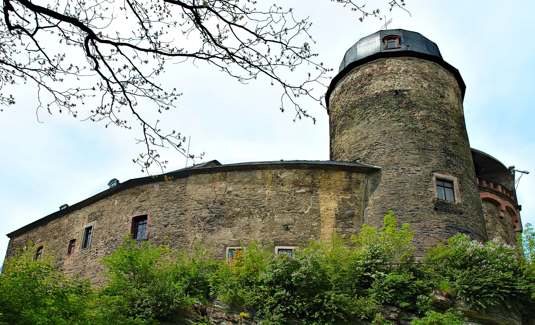
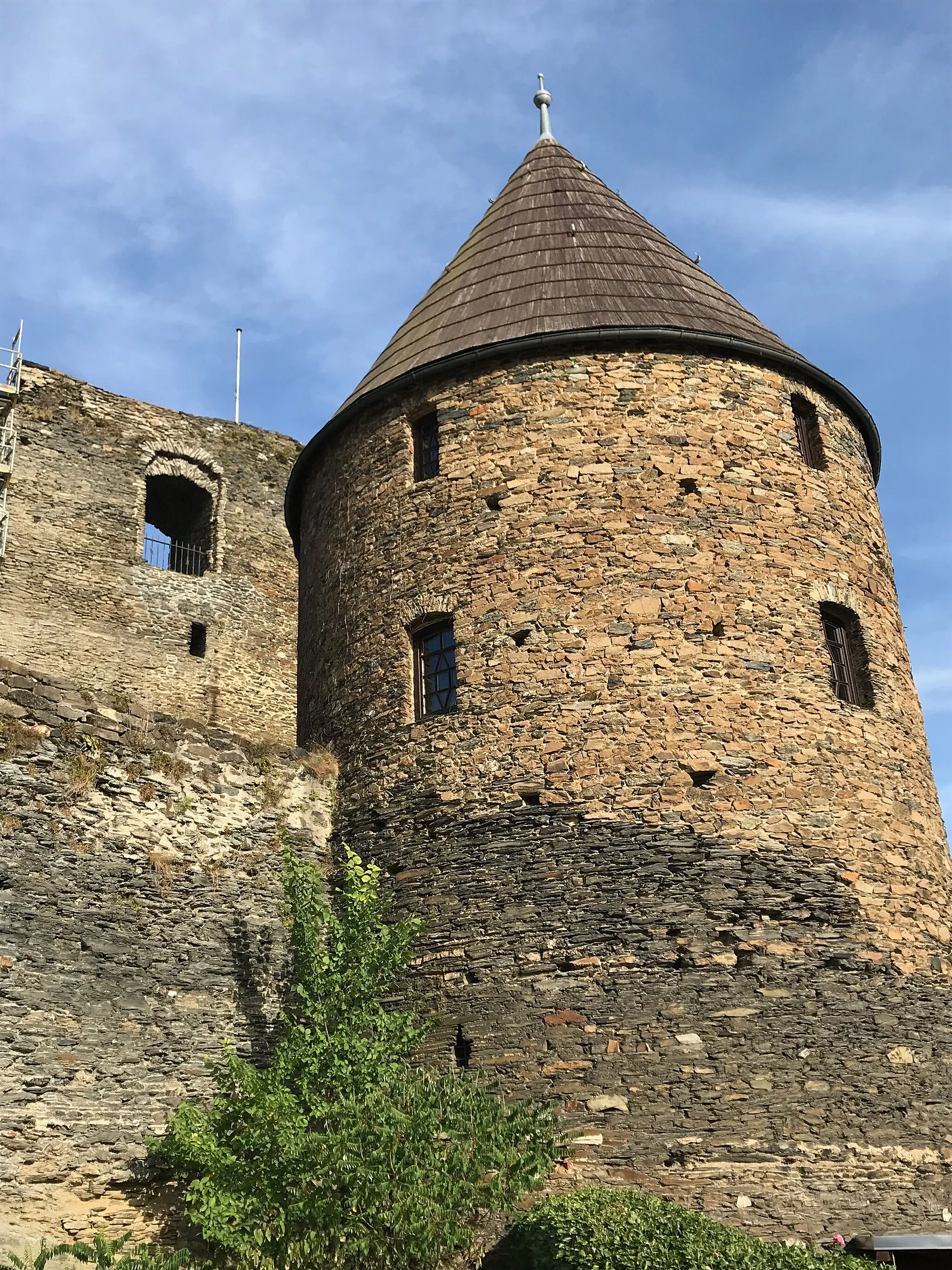
Cycling through Mylau's scenic countryside and visiting Mylau Castle
Cycling routes from Mylau
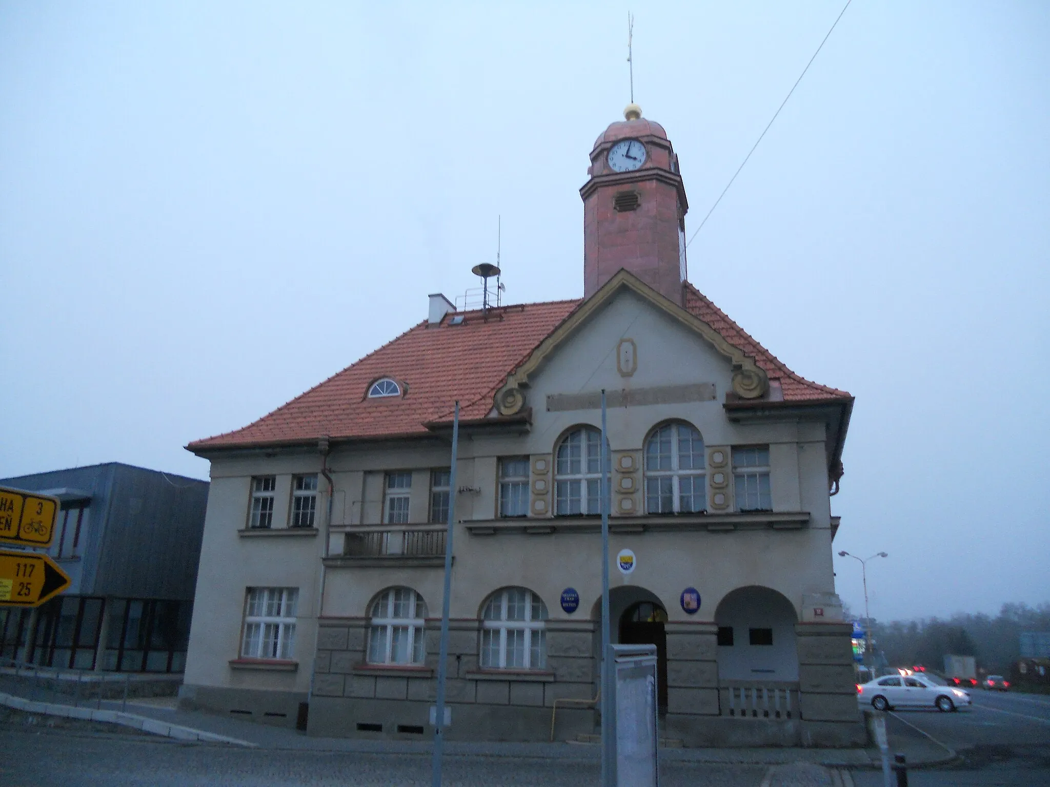
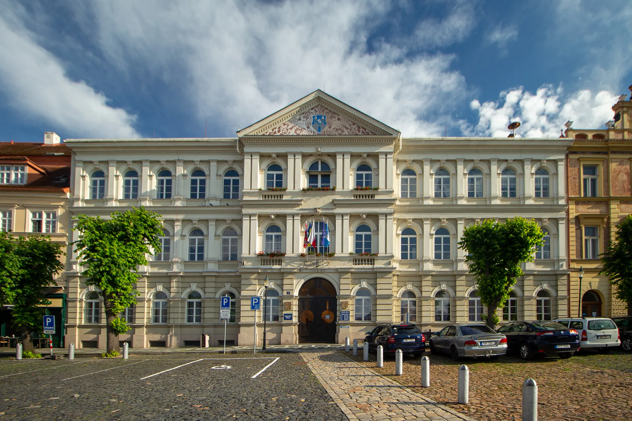
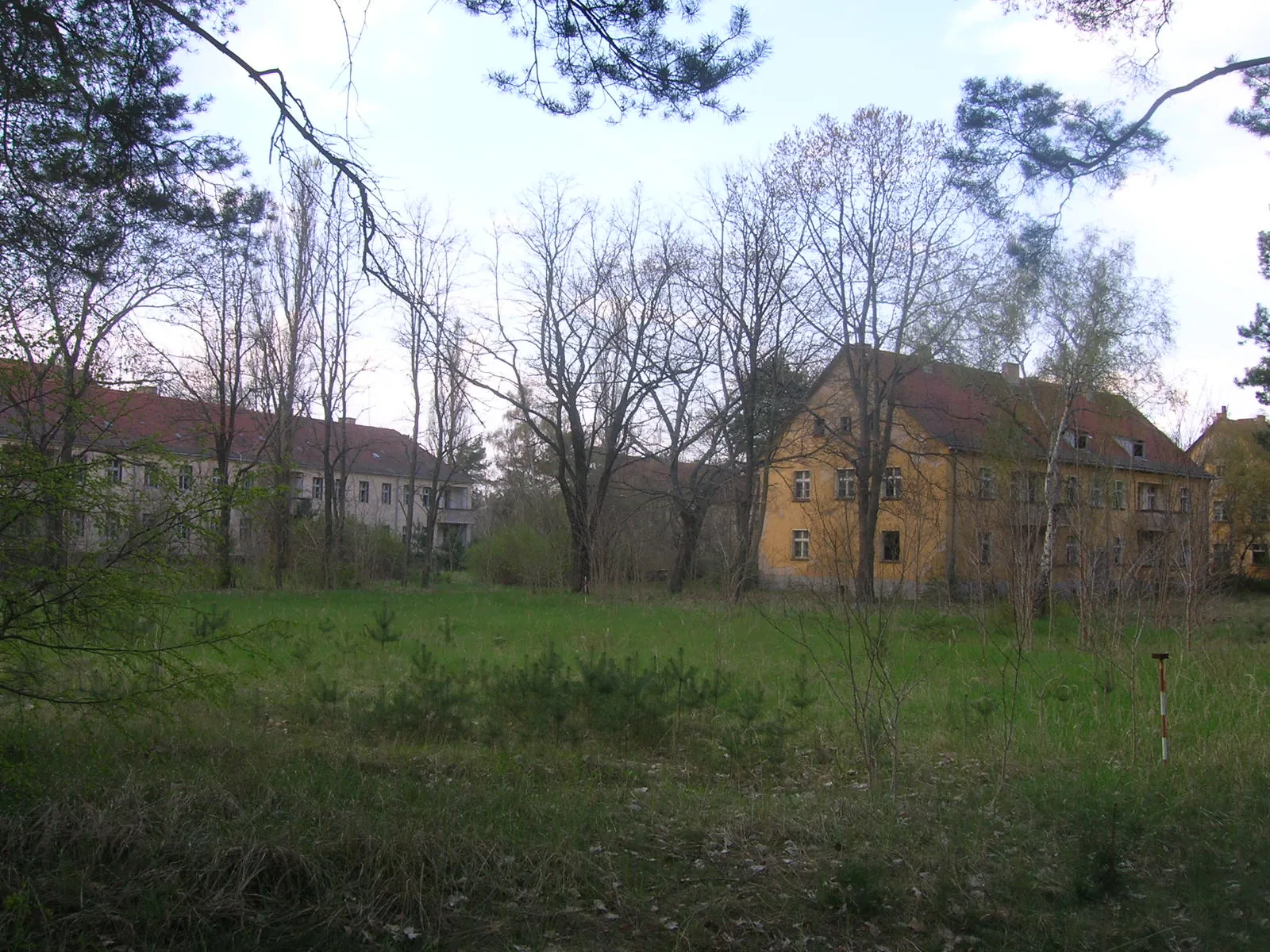
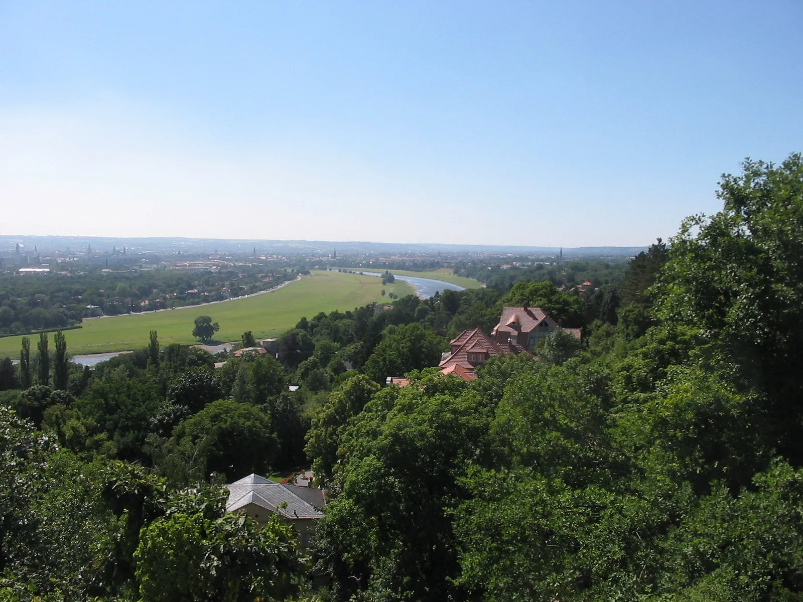
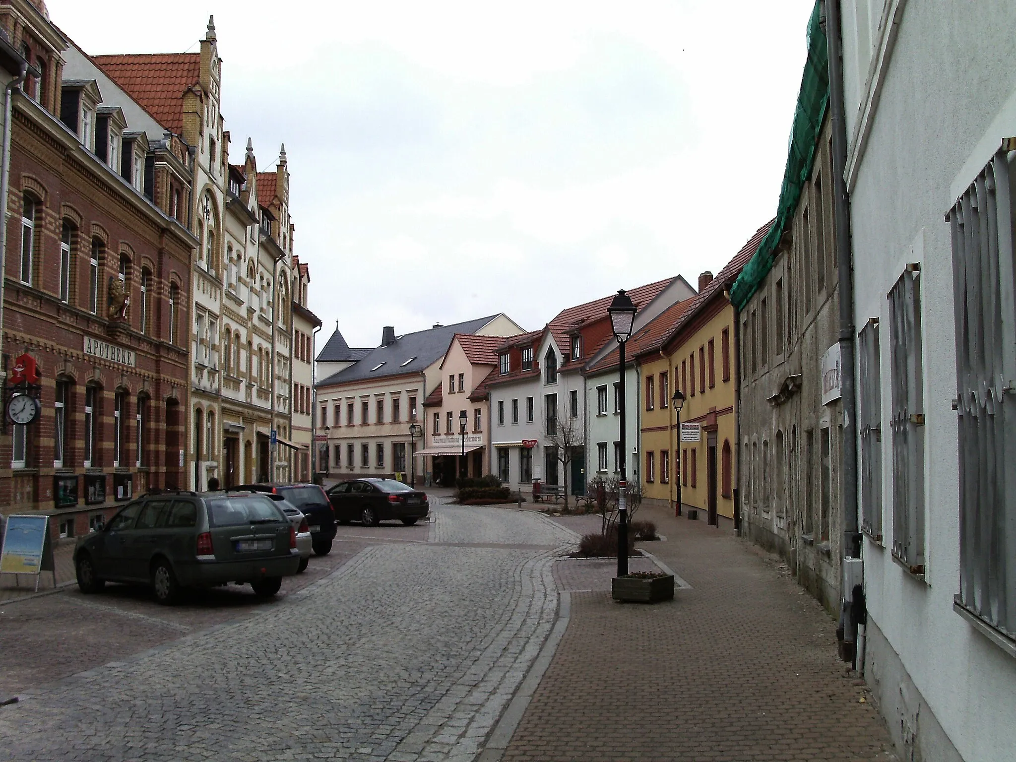
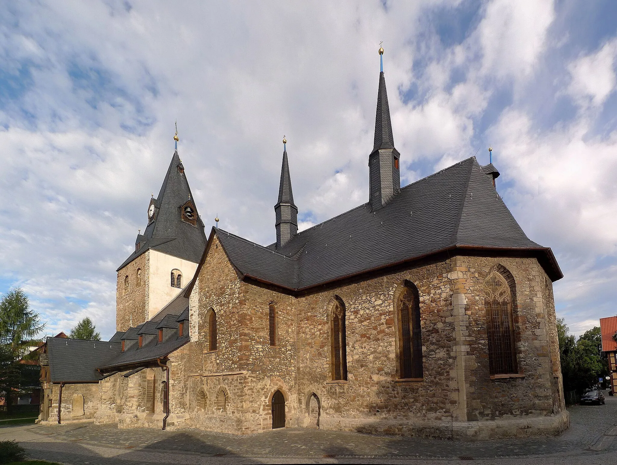
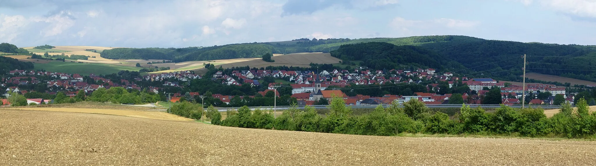
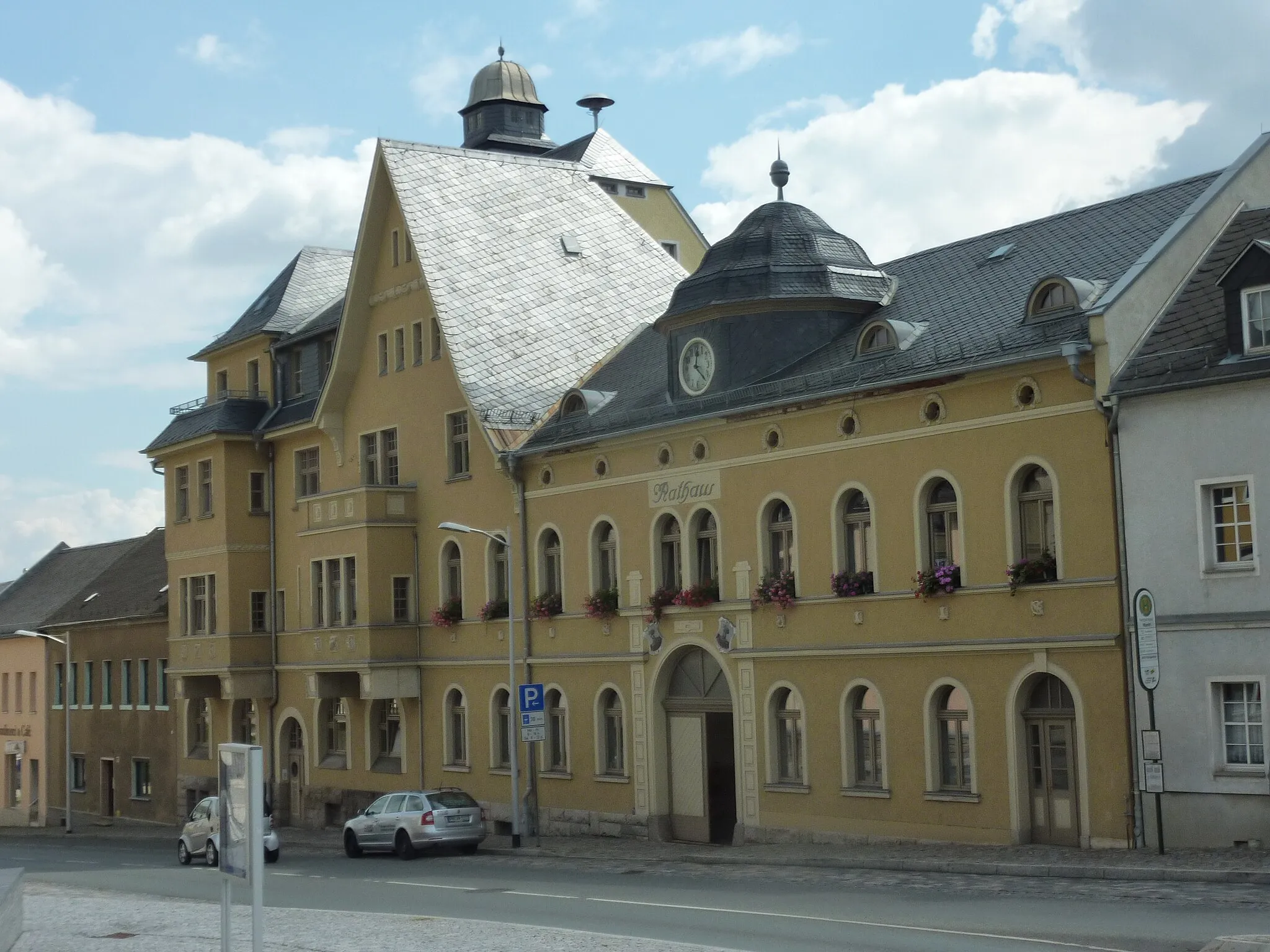
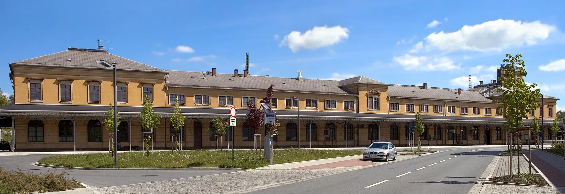
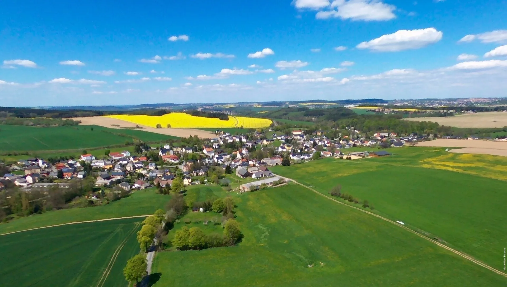
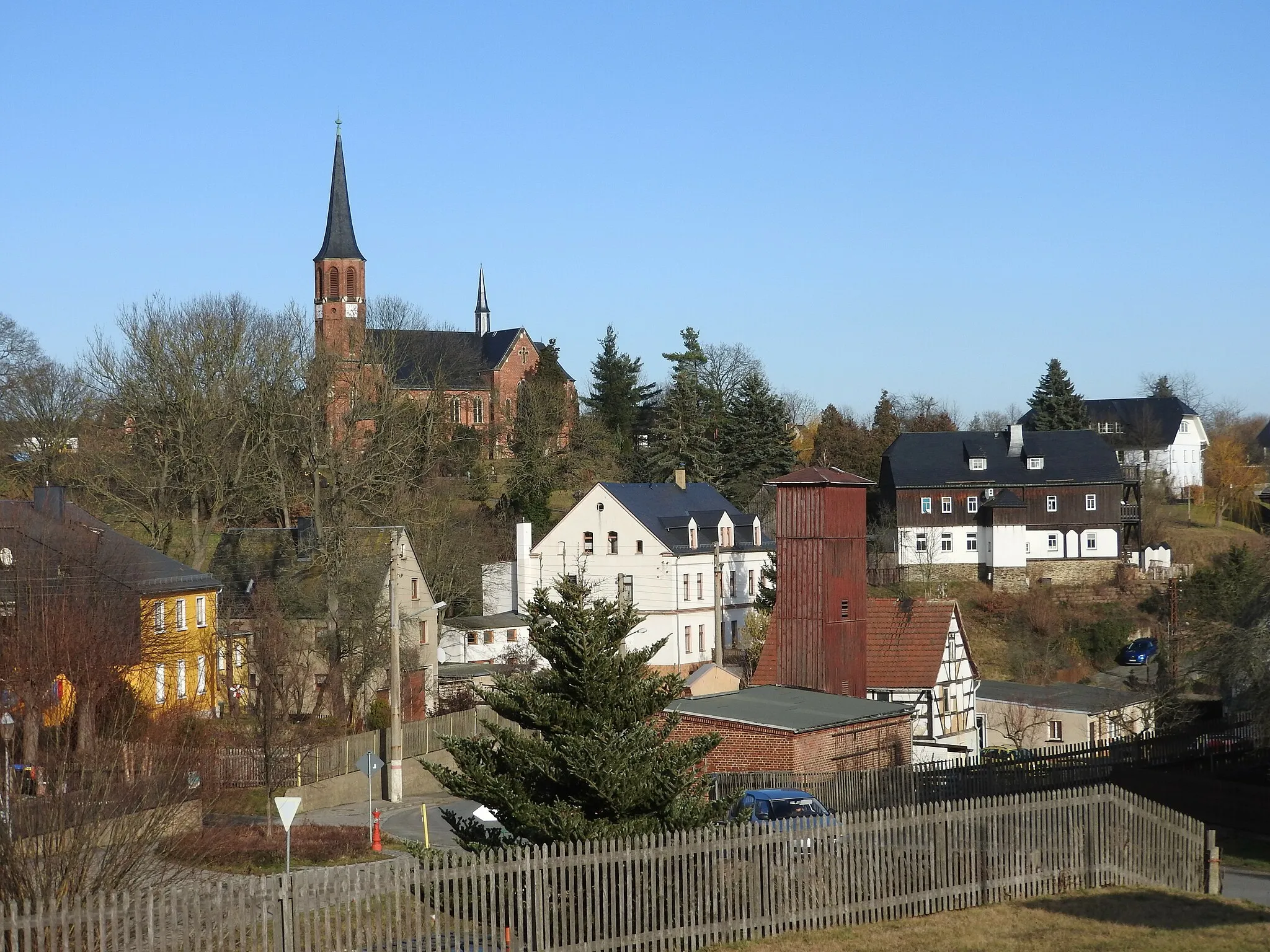
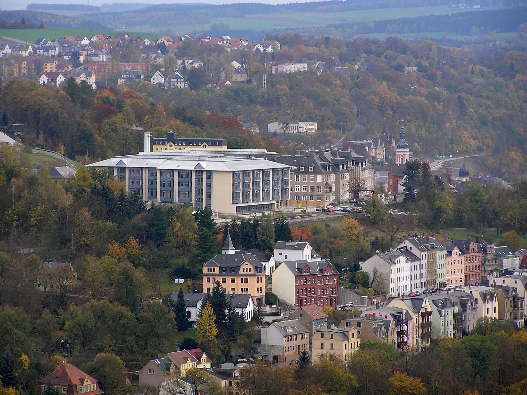
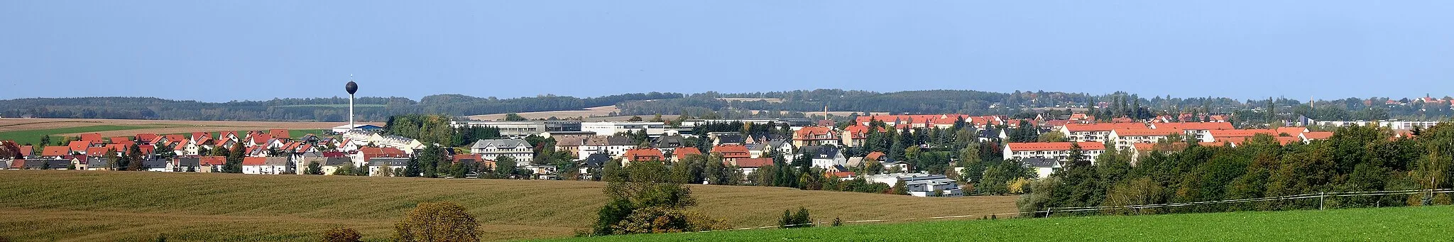
Mylau is a town located in the Chemnitz region of Germany. It is a suitable locality for road and gravel cyclists, offering various cycling routes through picturesque landscapes. Cyclists can enjoy rides along quiet country roads, passing by farms, rolling hills, and rivers. Mylau Castle, a historical attraction, provides a scenic backdrop for cyclists exploring the area. While there are no famous cycling climbs or spots directly in Mylau, the region offers enjoyable rides for enthusiasts seeking a mix of nature and history.
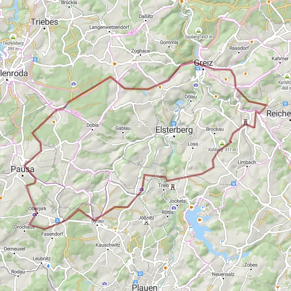
Embark on an off-road adventure through scenic gravel routes
Get ready for an off-road cycling adventure starting near Mylau, with an ascent of 995m and a distance of 67 km. Ride through Floßberg and Treuen, and explore the picturesque landscapes of Harzberg and Zaulsdorf. Pass by Oberlosa and experience the natural beauty of Kristaller before reaching Elster Viaduct and Loreley. Finally, arrive at Mühlwand, where your journey ends.
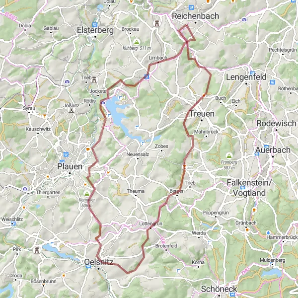
Oelsnitz Challenge
Conquer the legendary climbs and stunning scenery of the Oelsnitz region.
The Oelsnitz Challenge is an epic road cycling route that takes you through the legendary Oelsnitz region. With a distance of 84km and an ascent of 1250m, this route is suitable for experienced cyclists who love a challenge. Starting near Mylau, the route takes you through exciting spots like Treuen, Werda, Blick auf Oelsnitz, Kürbitz, Wasserturm Neundorf, Elsterberg, and Schafhübel. Along the way, you'll conquer tough climbs, enjoy breathtaking views, and immerse yourself in the rich history of the region. The Oelsnitz Challenge is a true test of endurance and a bucket list ride for cycling enthusiasts.
Embark on an epic road cycling journey through the challenging climbs of Vogtland
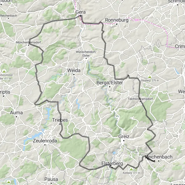
The Vogtland Challenge is an epic road cycling route that covers a distance of 124 kilometers with an ascent of 1,709 meters. This route is not for the faint-hearted, as it features challenging climbs and scenic viewpoints along the way. From Lerchenhübel to Münchenbernsdorf, this route takes you through picturesque towns and mesmerizing landscapes. The difficulty level of the Vogtland Challenge is high, making it suitable for highly trained cyclists seeking a thrilling adventure. With its numerous highlights and stunning scenery, this route is ideal for cyclists looking to push their limits and experience the beauty of the Vogtland region.
Vogtland Explorer
Embark on a gravel adventure through the hidden gems of the Vogtland region.
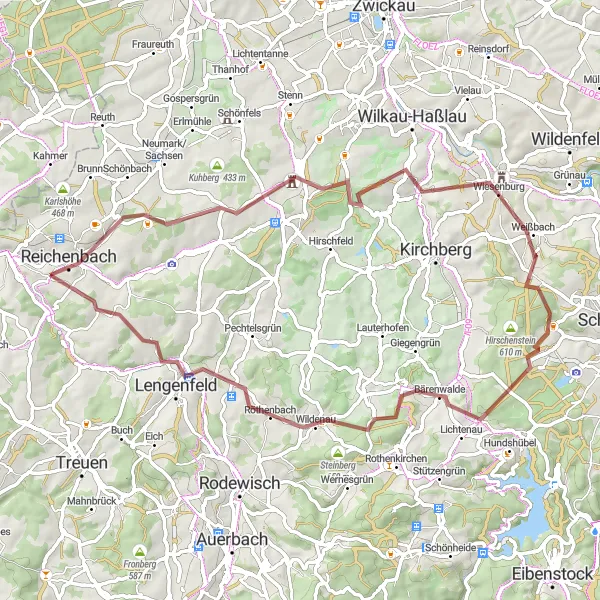
The Vogtland Explorer is a gravel route that takes you through the hidden gems of the Vogtland region. With a distance of 64km and an ascent of 984m, this route is suitable for experienced gravel cyclists. Starting near Mylau, the route takes you through scenic spots like Zur schönen Aussicht, Reichenbach, Streitberg, Culitzsch, Weißbach, Schirrberg, Mausberg, Lengenfeld, and Gerichtshübel. Along the way, you'll be enchanted by the natural beauty of the Vogtland forests, charming villages, and idyllic landscapes. The Vogtland Explorer offers a truly unforgettable gravel adventure.
Discover the natural beauty of the Chemnitz region on this road cycling adventure.
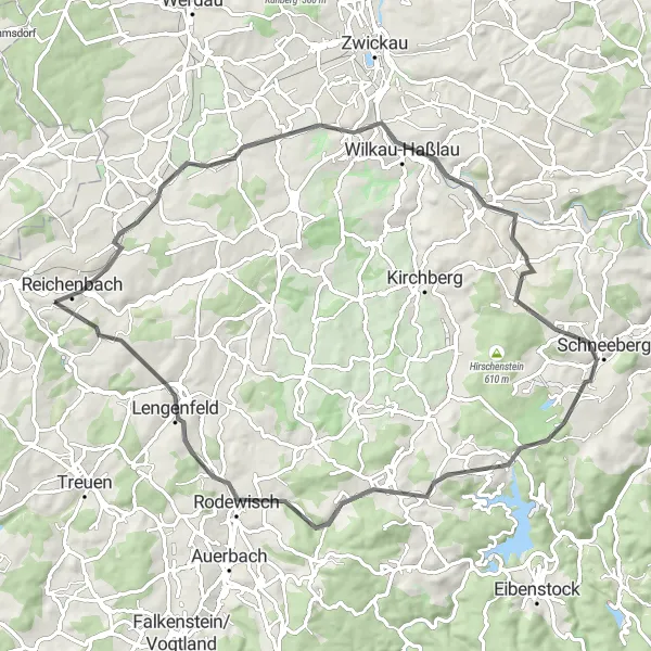
The Chemnitz Nature Ride is a road cycling route that showcases the beautiful landscapes of the Chemnitz region. With a distance of 73km and an ascent of 1117m, this route is suitable for experienced road cyclists. Starting near Mylau, the route takes you through scenic spots like Zur schönen Aussicht, Neumark/Sachsen, Lutherhöhe, Weißbach, Schirrberg, Stützengrün, Lengenfeld, and Windmühlenberg. Along the way, you'll be surrounded by lush greenery, rolling hills, and stunning viewpoints. The Chemnitz Nature Ride is a must for nature lovers and cycling enthusiasts.
The Herlasgrün Loop
Explore the scenic beauty of Herlasgrün in this challenging road cycling route
The Herlasgrün Loop is a challenging road cycling route that covers a distance of 44 kilometers with an ascent of 733 meters. The route takes you through picturesque landscapes and highlights the beautiful village of Herlasgrün. With its rolling hills and peaceful countryside, this route offers a memorable cycling experience for enthusiasts. The difficulty level of this route is moderate, making it suitable for well-trained amateurs. Overall, the Herlasgrün Loop is a great way to discover the natural beauty of the Chemnitz region.
The Gravel Adventure
Embark on a gravel adventure through the scenic beauty of the Chemnitz region
The Gravel Adventure is a thrilling gravel cycling route that covers a distance of 68 kilometers with an ascent of 1,087 meters. This route takes you off the beaten path and onto gravel roads, offering a unique cycling experience. From Neudörfel to Hirschstein, this route showcases the natural beauty of the Chemnitz region. With its challenging terrain and serene landscapes, this route is perfect for adventurous cyclists seeking an off-road cycling adventure. The difficulty level of the Gravel Adventure is moderate, making it suitable for well-trained amateurs. Overall, this route promises an exciting and scenic journey for gravel enthusiasts.
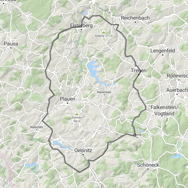
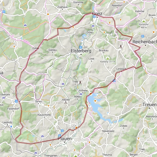
Discover the distinctiveness of Mylau with its scenic gravel routes
Explore the hidden gems surrounding Mylau with this gravel cycling route. With a total ascent of 990m and a distance of 62 km, you'll uncover the breathtaking beauty of Trieb, Alberthöhe, Steinpöhl, and Mehltheuer. Ride through Ebersgrün, Lerchenberg, and Greiz before reaching Aussichtspunkt Hainbergblick, offering panoramic views that will leave you awe-inspired.
Vogtland Loop
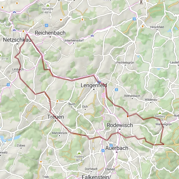
Experience the magical landscapes of the Vogtland region on this gravel adventure.
The Vogtland Loop is a stunning gravel route that takes you through the picturesque landscapes of the Vogtland region. With a distance of 52km and an ascent of 913m, this route is suitable for well-trained cyclists who enjoy challenging rides. The route starts near Mylau and takes you through the charming towns of Hirschstein, Lengenfeld, Steinberg, Rodewisch, Johannhöhe, and Treuen. Along the way, you'll be treated to breathtaking views, charming villages, and peaceful countryside. The Vogtland Loop is a true gem for gravel enthusiasts.
Discover the historical charm of Netzschkau on this road cycling adventure
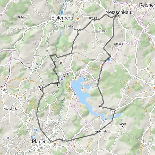
The Netzschkau Exploration is a road cycling route that covers a distance of 81 kilometers with an ascent of 1,283 meters. This route takes you through the charming town of Netzschkau and showcases its rich history and cultural heritage. From Netzschkau to Zur schönen Aussicht, this route combines picturesque countryside and cultural landmarks. The difficulty level of the Netzschkau Exploration is moderate, making it suitable for well-trained amateurs looking for a scenic and cultural cycling experience. Overall, this route allows cyclists to discover the beauty and historical charm of Netzschkau and its surroundings.
Cycling routes nearby:
Nearby regions: