Scenic cycling destination with diverse terrain options.
Cycling routes from Luetzelbach
Lützelbach is a locality located in Darmstadt, Germany. From the perspective of a cyclist, it offers diverse terrain options and a network of well-maintained cycling paths. The area is surrounded by picturesque rolling hills and forests, making it suitable for both road cycling and gravel adventures. One of the notable cycling spots nearby is the Odenwald region, which offers a range of scenic routes and mountain climbs. With its beautiful landscapes and cycling-friendly infrastructure, Lützelbach ranks 4 on the cyclist's perspective scale.
Panoramic Views
Enjoy stunning panoramic views on this scenic road cycling route.
Experience the breathtaking beauty of the surrounding landscape on this panoramic road cycling route near Lützelbach. The route offers stunning views from various vantage points, including the Herrngartenberg and the Skyline-Panorama. With an ascent of 746 meters and a distance of 124 kilometers, this route is suitable for experienced cyclists. It has a difficulty rating of 4 and an epicness rating of 4. Highlights include the Kohlberg, a hill offering panoramic views of the countryside, and the Bieberer Aussichtsturm, a tall lookout tower with commanding views. You will also pass by the historic settlement of Riedbahn and the impressive Eberstadt Castle.
Ober-Ramstadt Gravel Adventure
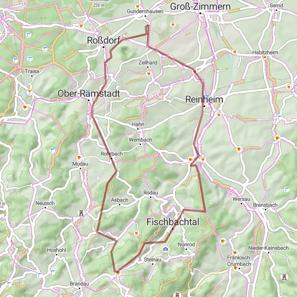
Experience an exciting gravel adventure through the scenic landscapes around Ober-Ramstadt.
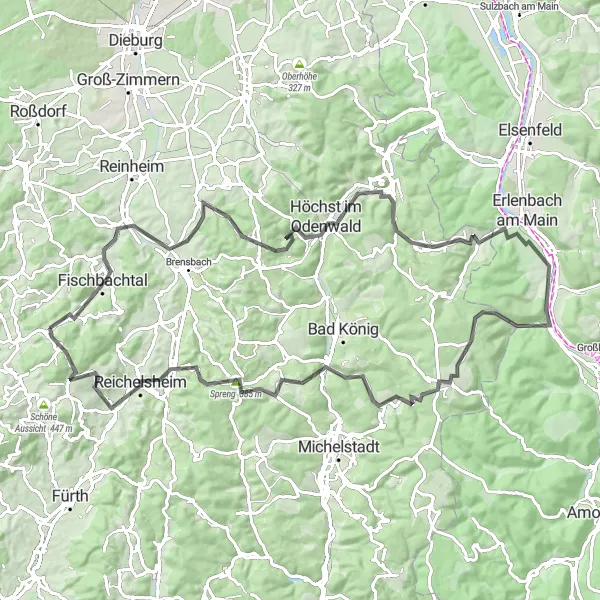
This thrilling gravel adventure takes you through the scenic landscapes around Ober-Ramstadt, providing breathtaking views and challenging terrain. With a total ascent of 671 meters and a distance of 39 kilometers, this route is suitable for experienced gravel cyclists. Highlights along the route include the charming village of Ober-Ramstadt, the Einspacher Höhe with its panoramic views, and the picturesque town of Fischbachtal.
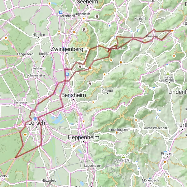
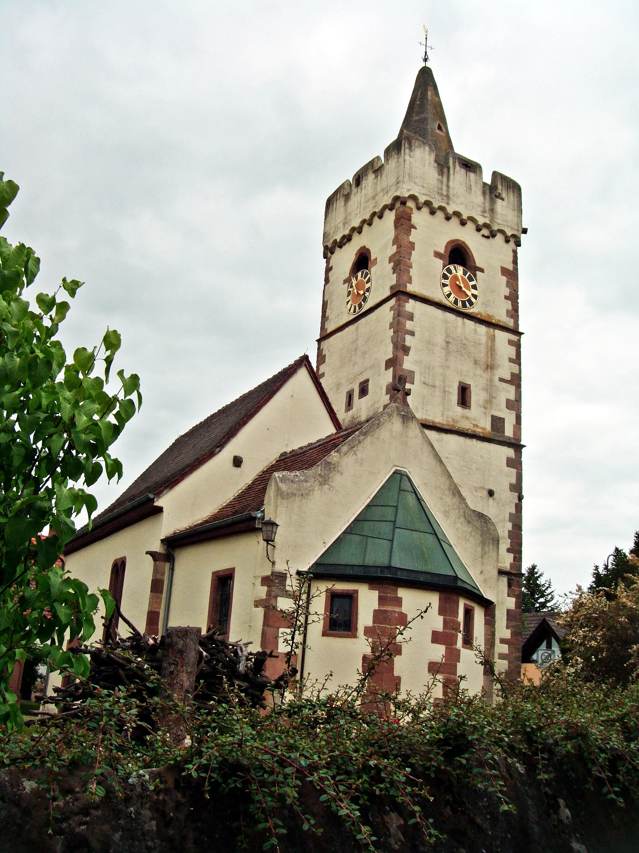
Embark on a challenging gravel route passing major landmarks near Lützelbach.
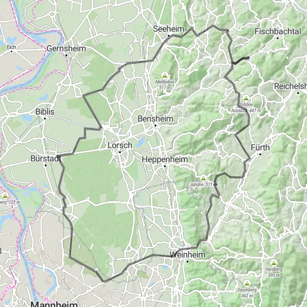
This challenging gravel route takes you through iconic landmarks near Lützelbach. With a total ascent of 1075 meters and a distance of 59 kilometers, this course is suitable for experienced and well-trained amateur cyclists. Highlights along the way include the famous Felsberg, the majestic Fürstenlager, and the historic Lorsch Abbey.
Natural Wonders
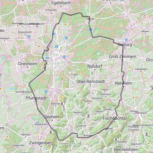
Discover unique natural formations and protected habitats.
Explore the natural wonders near Lützelbach with this cycling route. You will encounter fascinating geological formations like the Felsberg and Süntelbuche. The route also passes by the famous Messel Pit, a UNESCO World Heritage site known for its fossils. With an ascent of 631 meters and a distance of 80 kilometers, this route is moderately challenging. It has a difficulty rating of 2 and an epicness rating of 3. Highlights include the model of MSG, a unique structure that showcases the history of the region, and the Riedberg, a hill offering stunning views of the surrounding landscape.
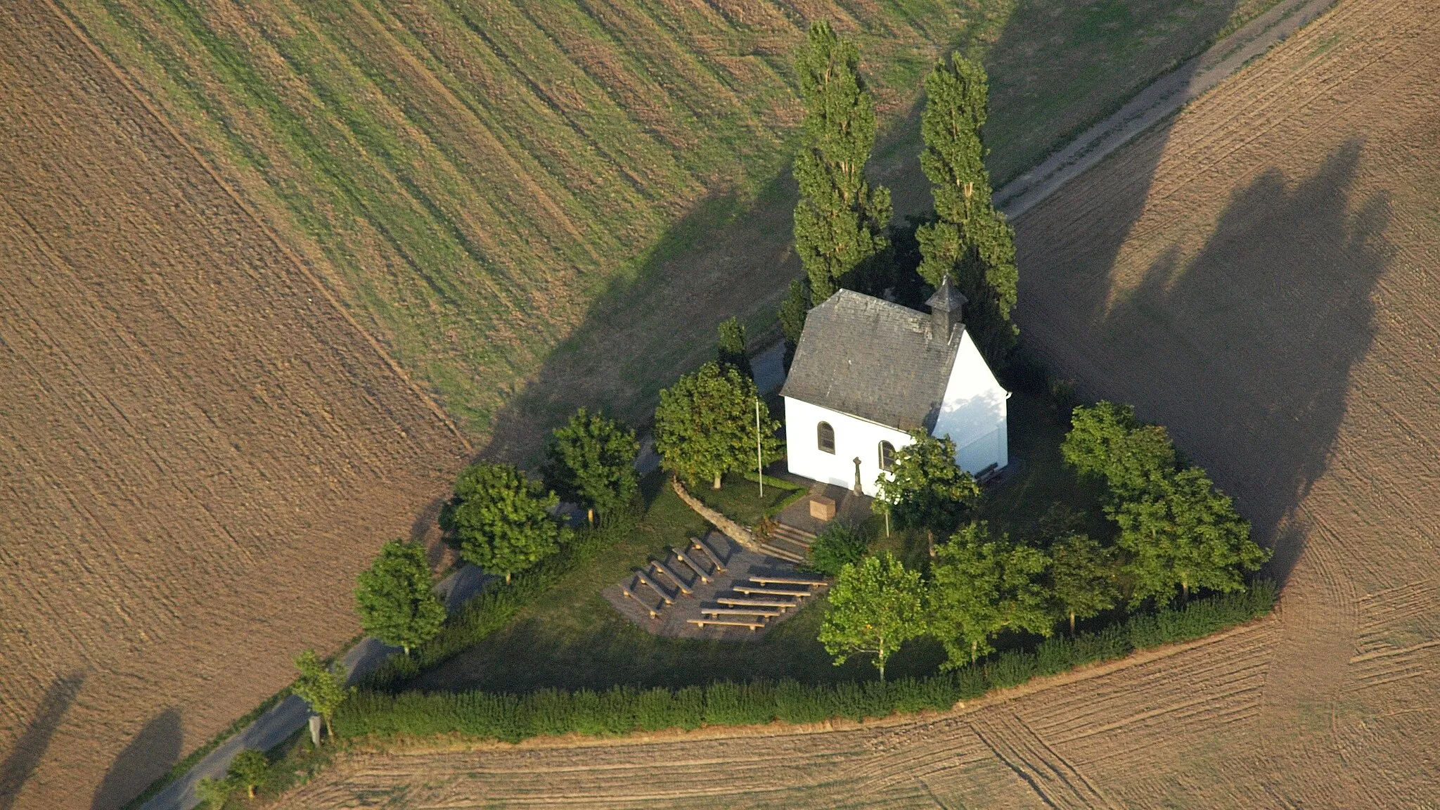
Wine and Castles
Cycle through the picturesque vineyards and visit ancient castles.
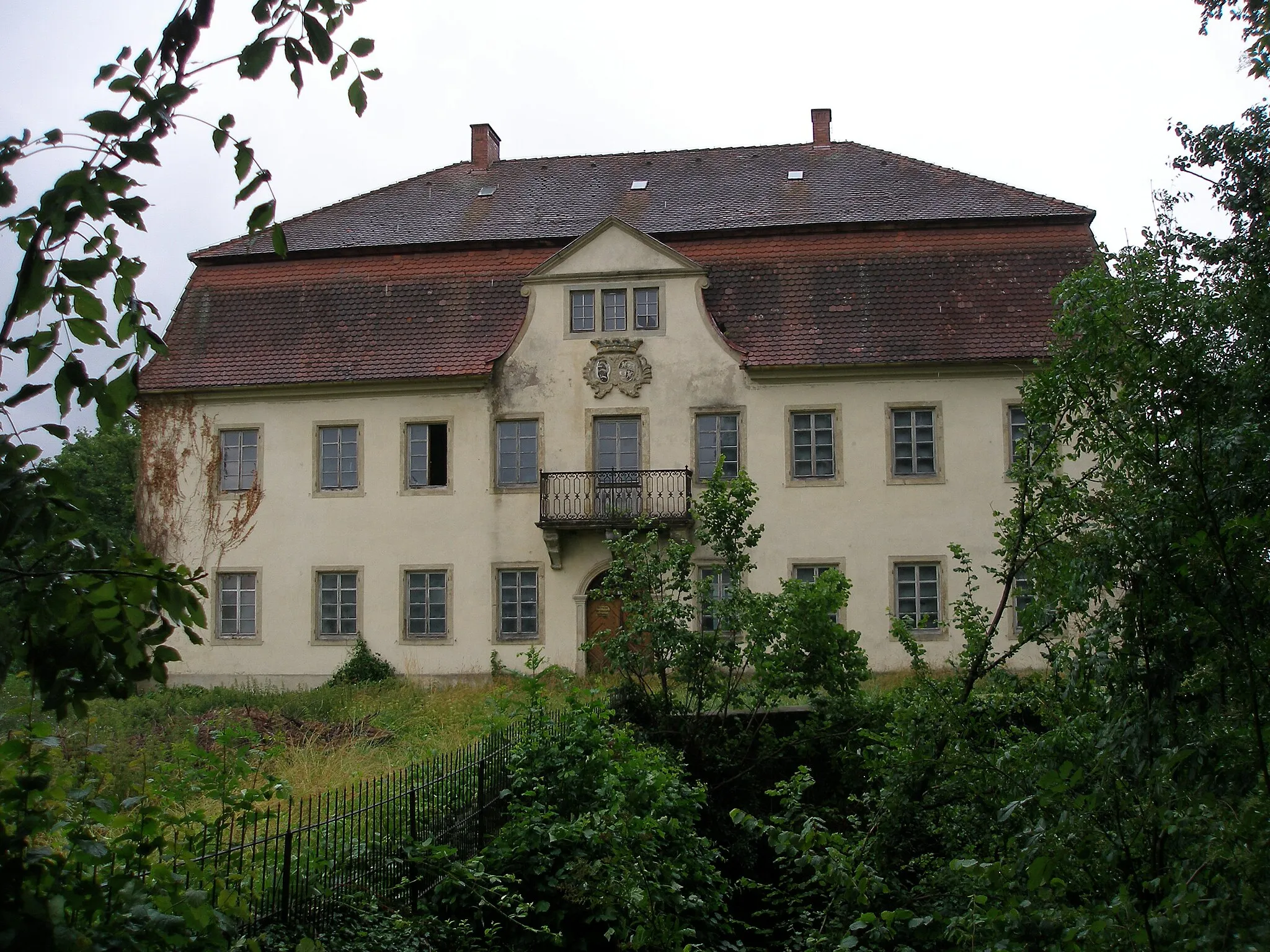
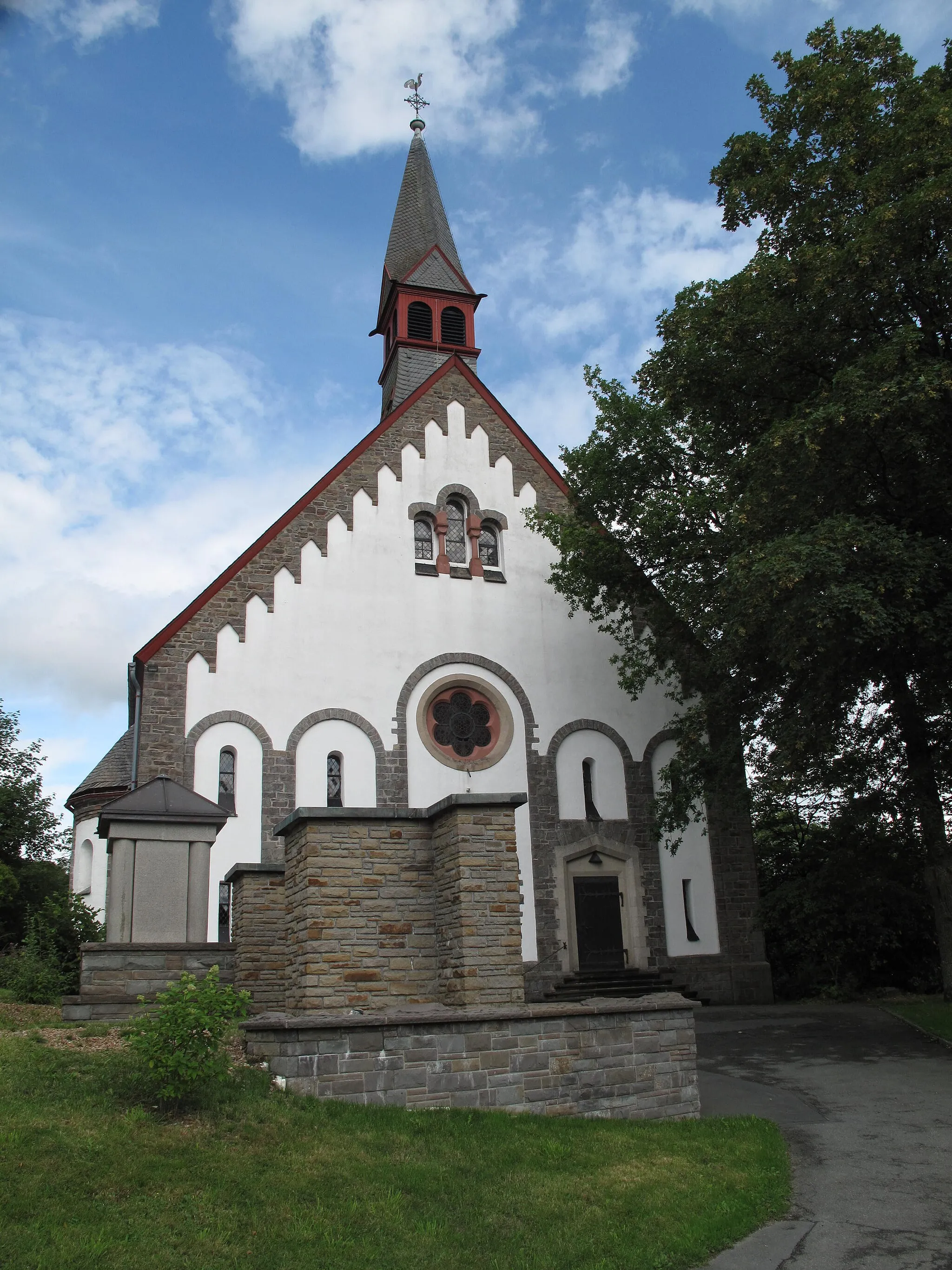
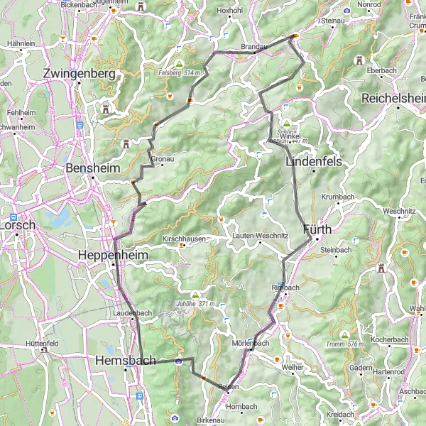
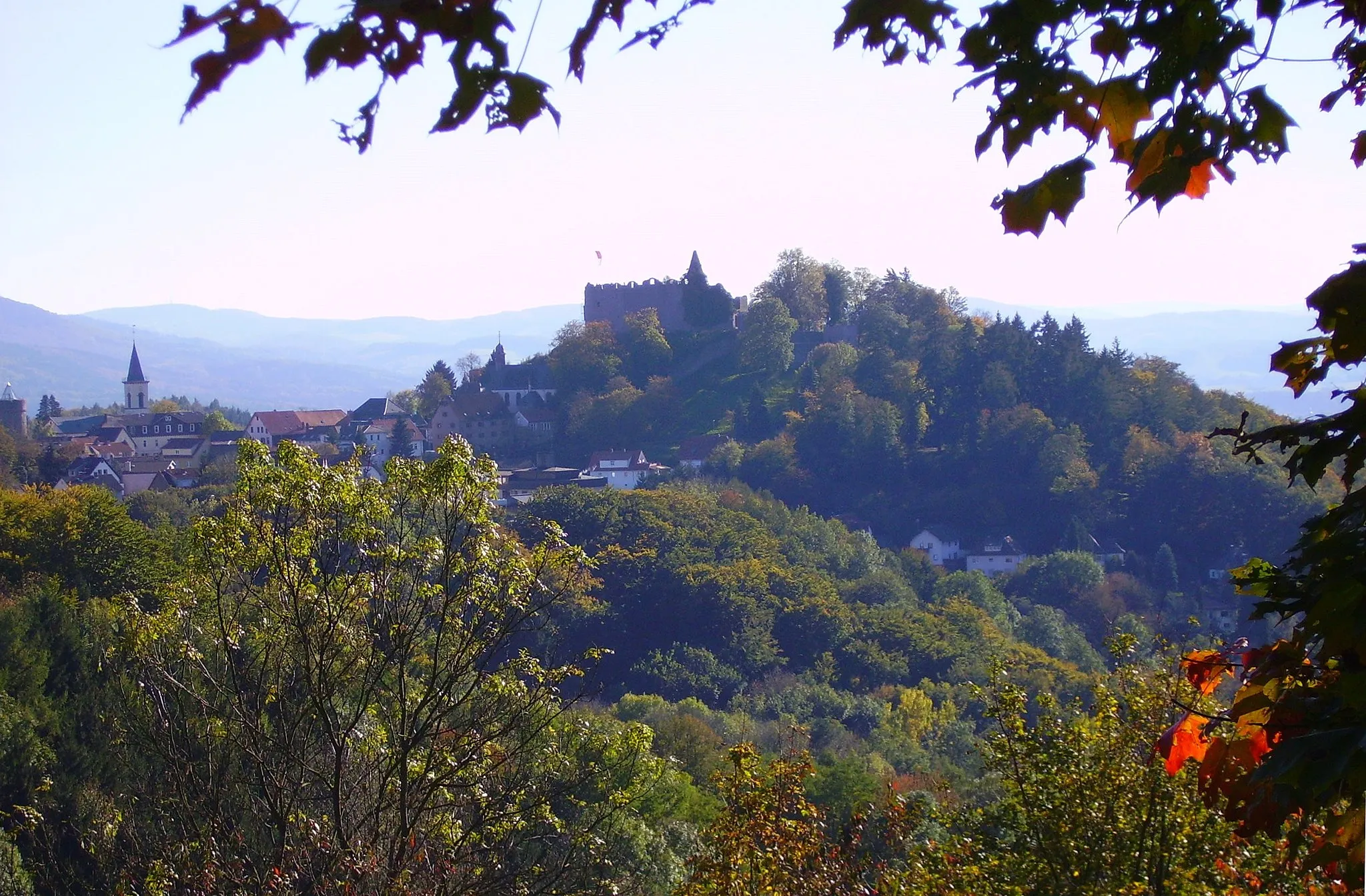
This route takes you through the scenic vineyards of Lützelbach, offering breathtaking views of the countryside. Along the way, you will pass by several impressive castles, such as the Burgruine Tannenberg and Schloß Ernsthofen. The route includes some challenging climbs, making it suitable for well-trained amateurs. With a difficulty rating of 3 and an epicness rating of 4, it offers a rewarding cycling experience. Highlights include the charming village of Eulsbach, known for its wine production, and the historic town of Weinheim.
Embark on a thrilling cycling adventure through the scenic Odenwald region, with challenging climbs and breathtaking views.
The Odenwald Adventure is a demanding road cycling route that covers a distance of 98 km and features a total ascent of 1715 m. This epic route takes you through picturesque villages, dense forests, and awe-inspiring mountain vistas. It is best suited for well-trained amateur cyclists who are looking for an unforgettable challenge.
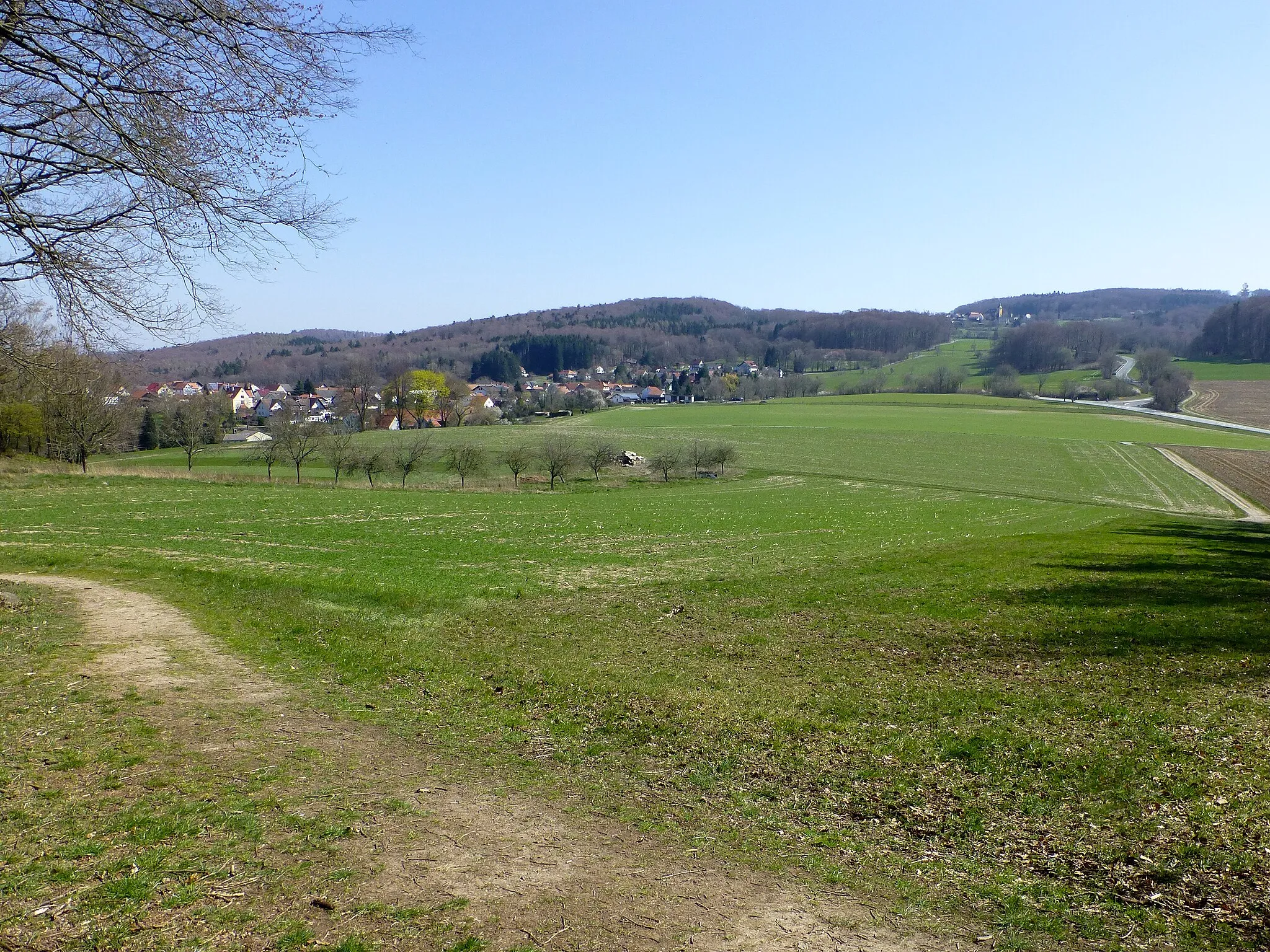
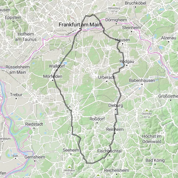
Lützelbach Loop
Experience the rolling hills and lush landscapes along this scenic round-trip cycling route near Darmstadt.
The Lützelbach Loop is a moderate-level road cycling route that takes you through beautiful countryside scenery and charming villages. With a total distance of 57 km and an ascent of 873 m, this route offers a challenging yet rewarding ride suitable for well-trained amateur cyclists.
Gravel Adventure
Take on challenging gravel paths and explore hidden gems.
If you're looking for an adventurous cycling experience, this gravel route near Lützelbach is perfect for you. The route combines challenging climbs with scenic landscapes, offering a true off-road adventure. With an ascent of 2370 meters and a distance of 116 kilometers, this route is challenging even for experienced cyclists. It has a difficulty rating of 5 and an epicness rating of 4. Highlights include the Schludroff, a small village with a rich history, and the Hohe Langhälde, a hill offering panoramic views of the Odenwald. You will also encounter the Wisente, a protected bison habitat, and the Neunkircher Höhe, a hill with sweeping views of the countryside.
Embark on the ultimate gravel adventure and discover the natural wonders near Lützelbach.
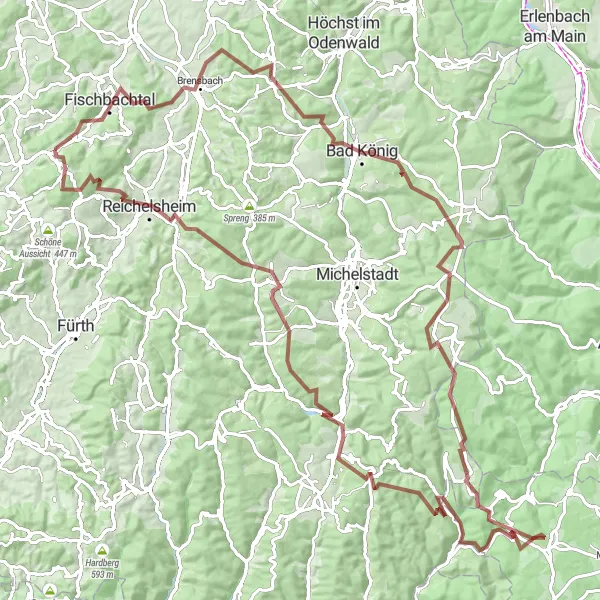
This ultimate gravel adventure takes you through the stunning natural wonders near Lützelbach. With an impressive total ascent of 1707 meters and a distance of 73 kilometers, this route is reserved for experienced and well-prepared cyclists. Highlights along the way include the Brensbach valley, the enchanting Schludroff forest, and the majestic Neunkircher Höhe.
Lützelbach Road Cycling Route
Experience the scenic beauty of Lützelbach on this adventurous road cycling route.
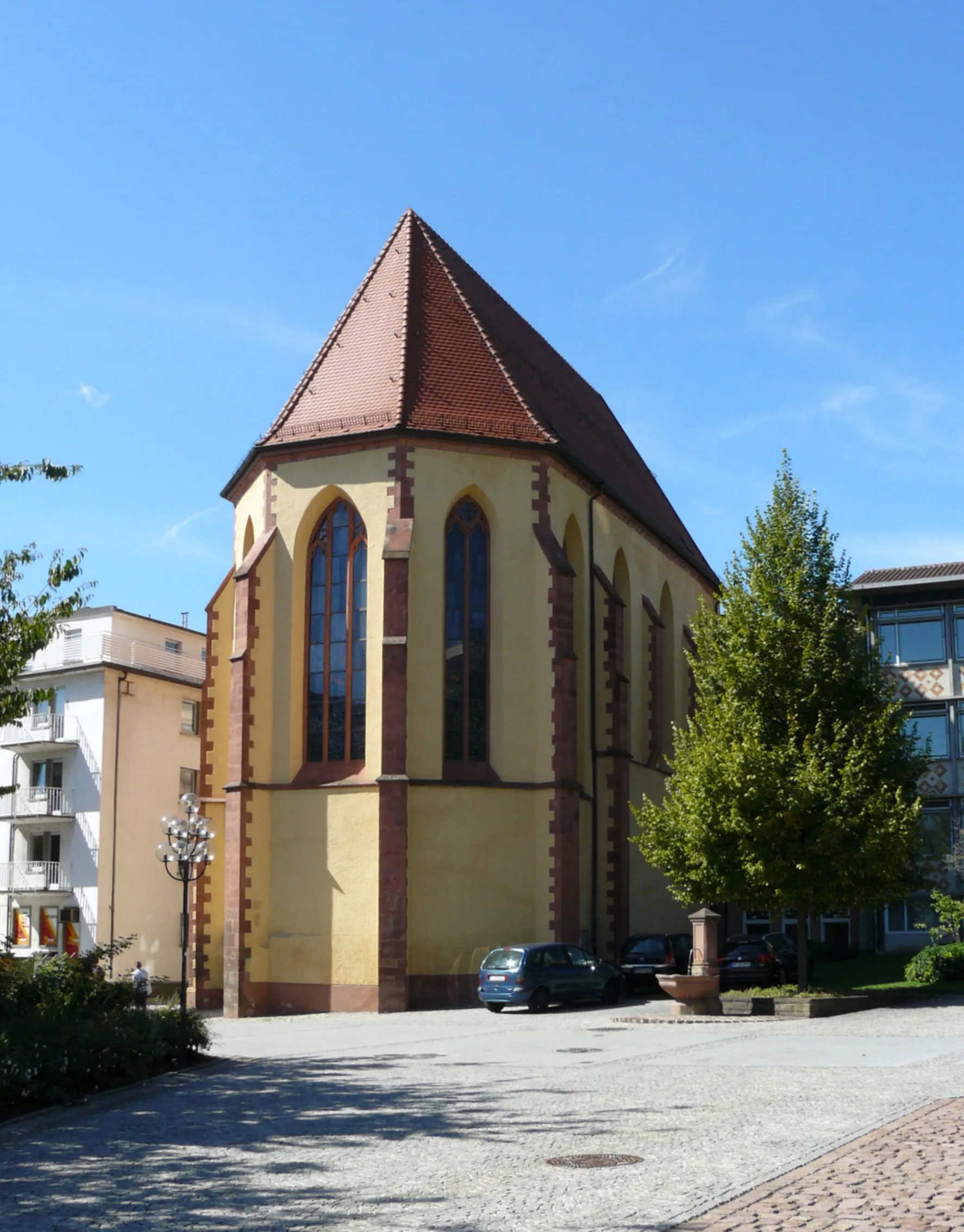
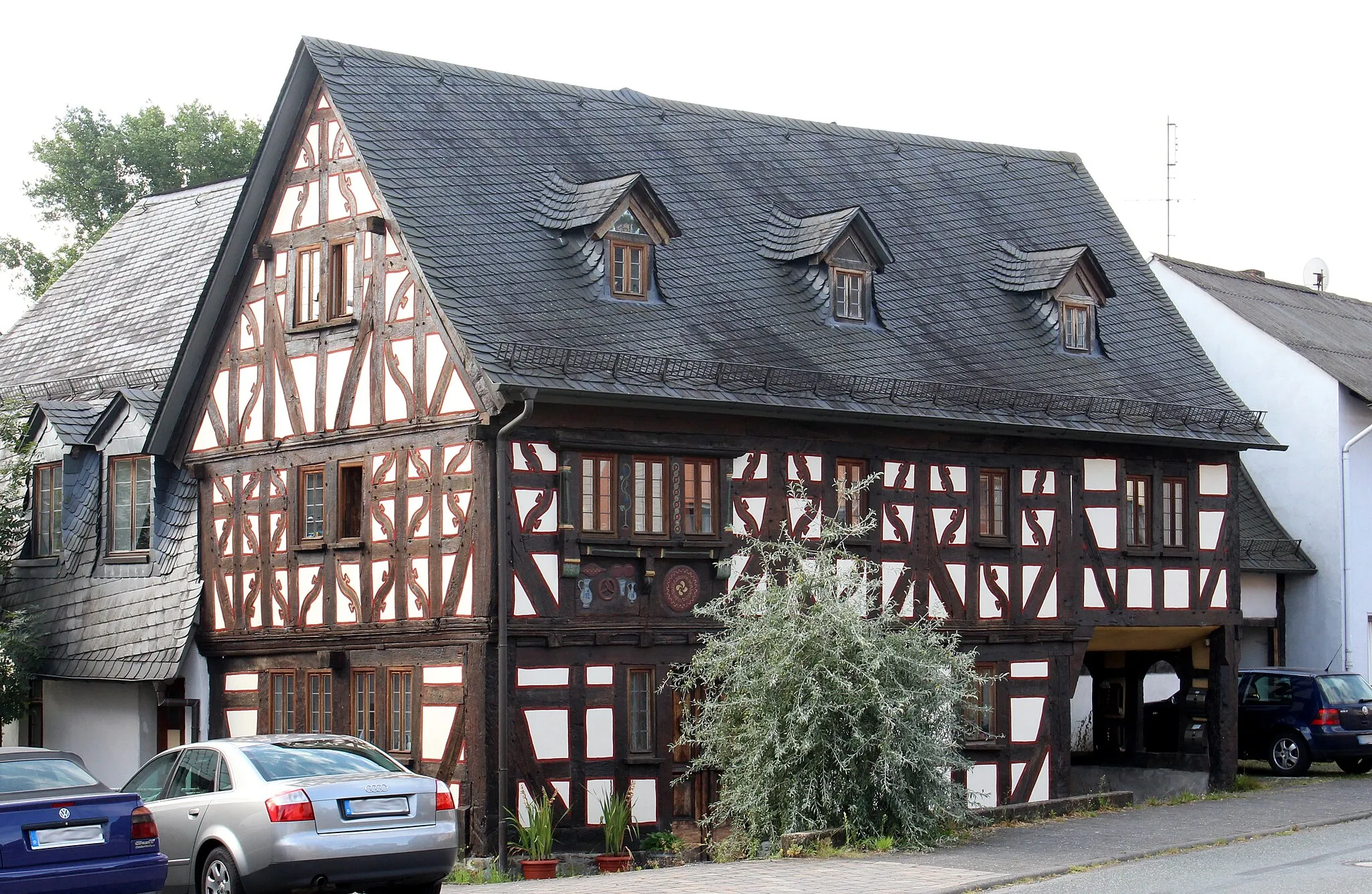
This road cycling route near Lützelbach offers a scenic ride through picturesque landscapes and charming villages. With a total distance of 54 kilometers and an ascent of 615 meters, it is suitable for well-trained amateur cyclists. The route provides a mix of flat terrains and moderate climbs, making it a great option for riders of different skill levels. Along the way, you'll encounter several highlights, including Felsberg, Balkhausen, Bickenbach, Pfungstadt, Kohlberg, Schloß Ernsthofen, and Streithain.
Cycling routes nearby:


Nearby regions: