Exploring scenic roads and conquering challenging climbs in Hungen.
Cycling routes from Hungen
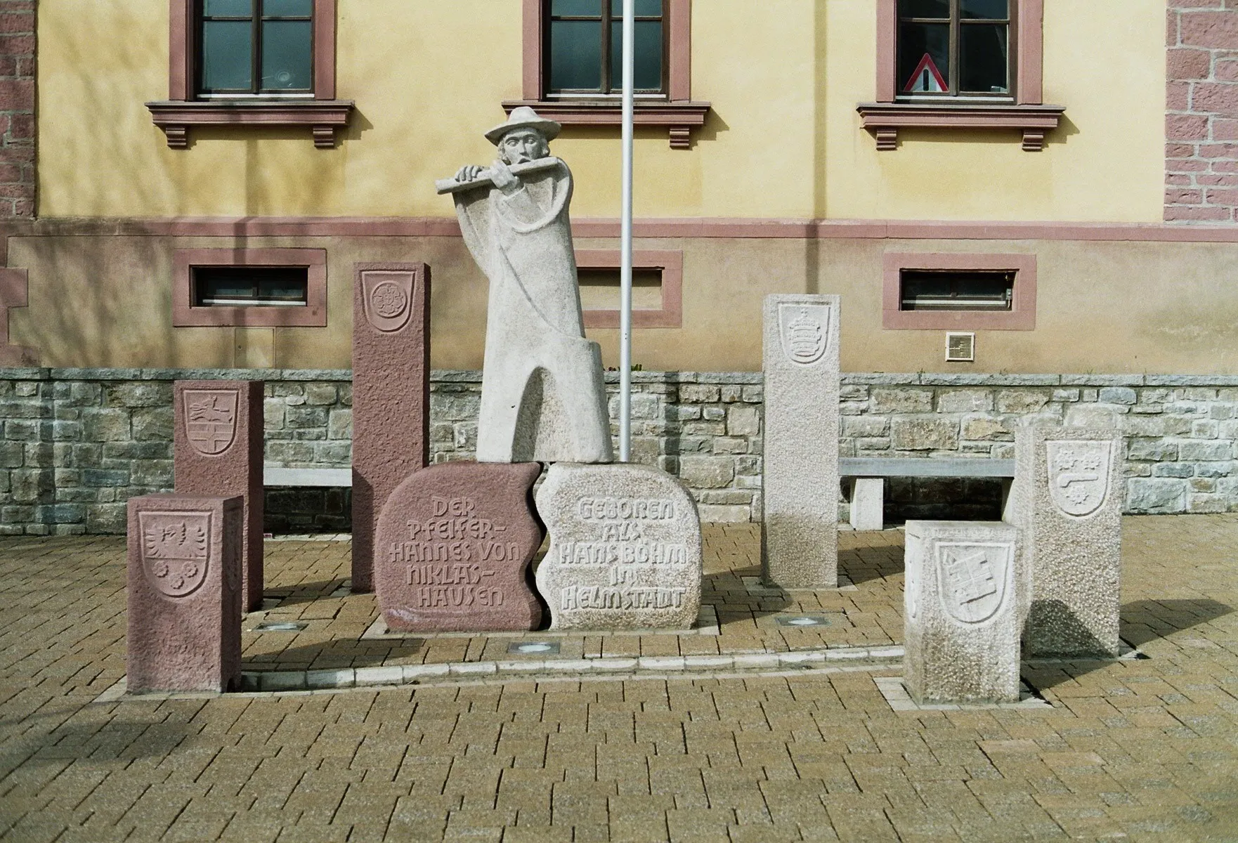
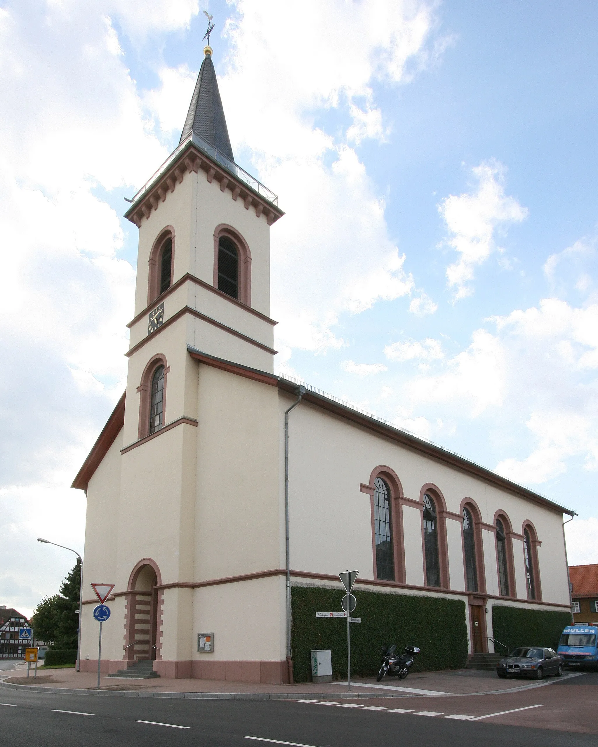
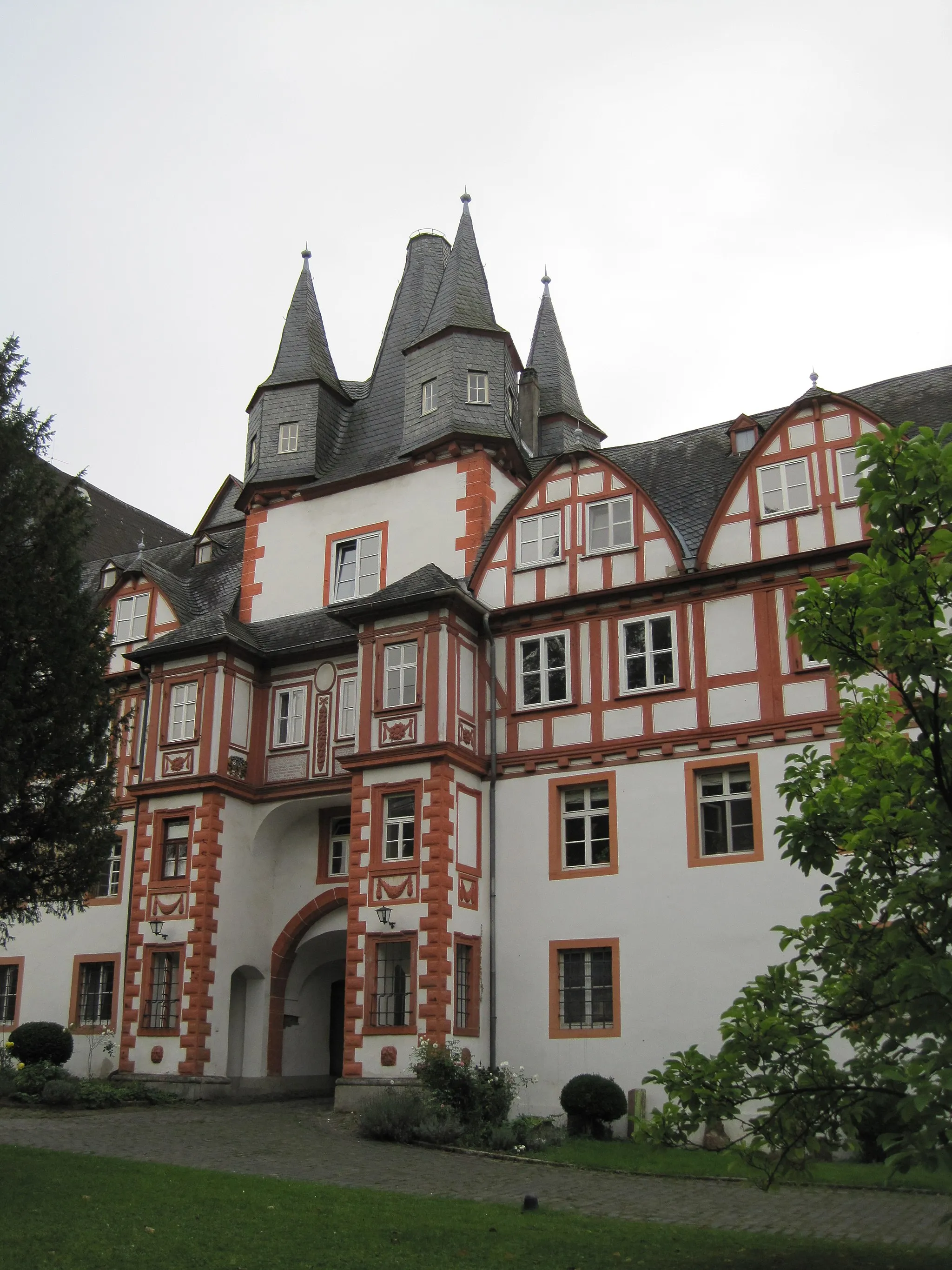
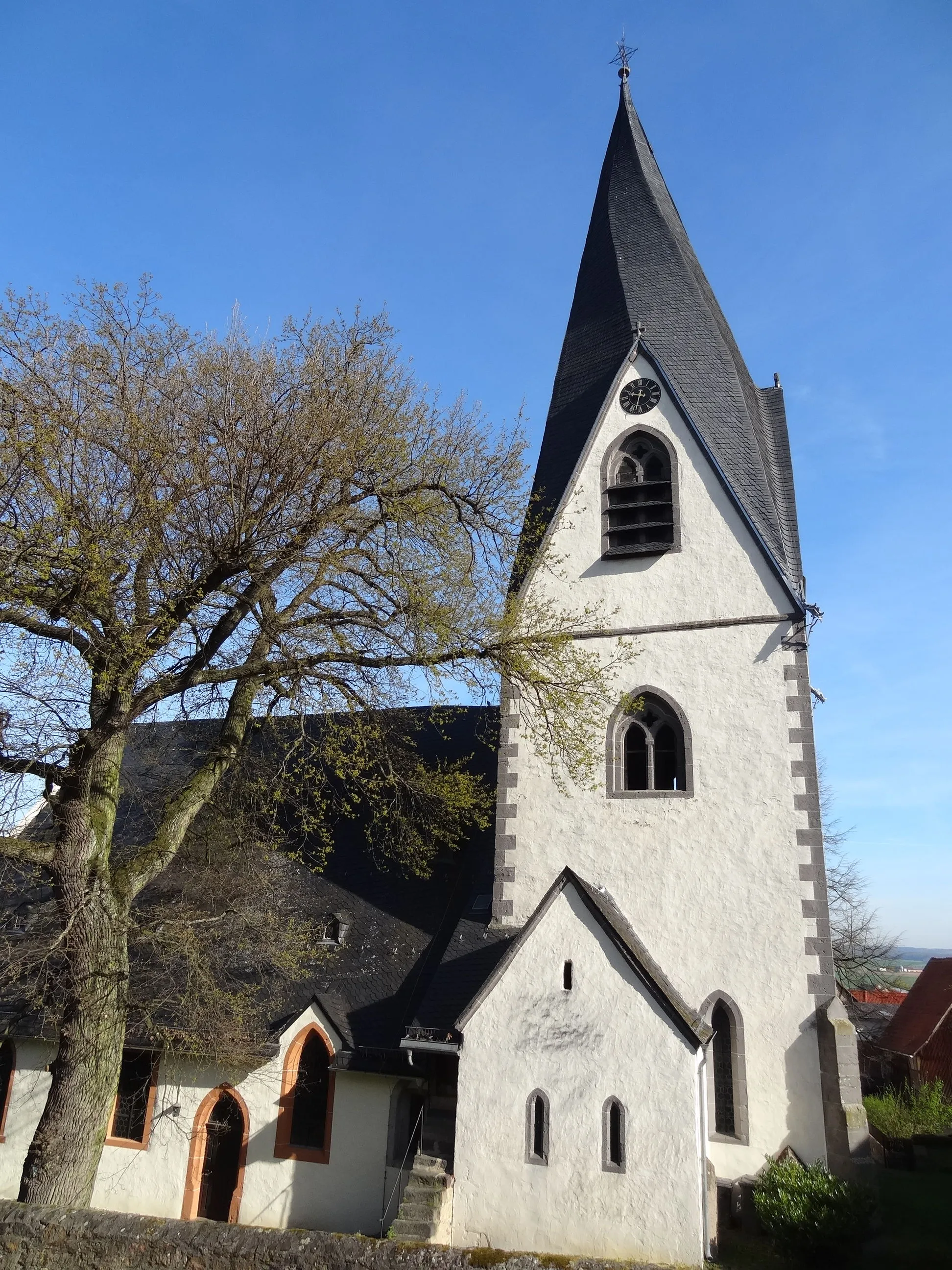
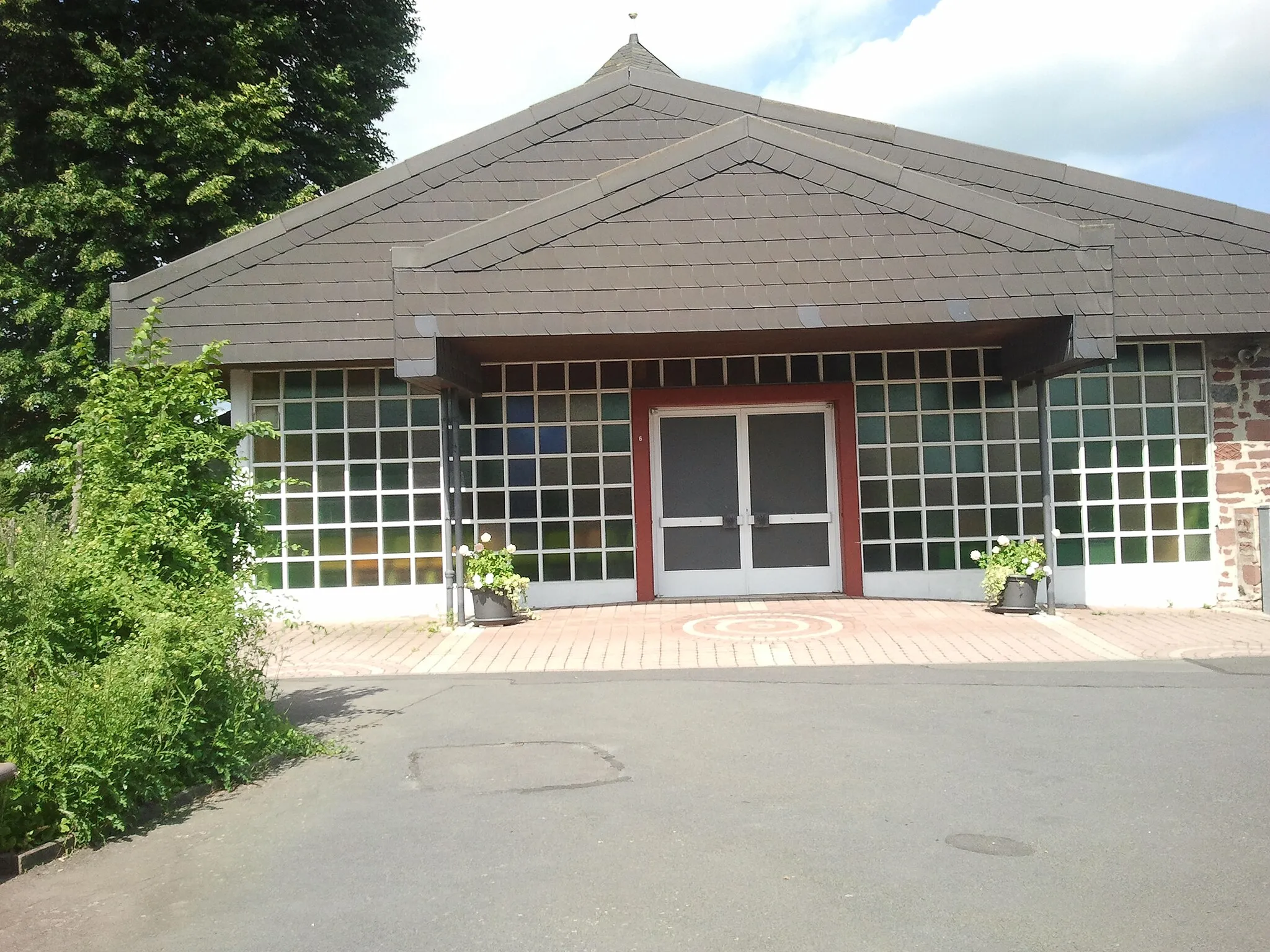
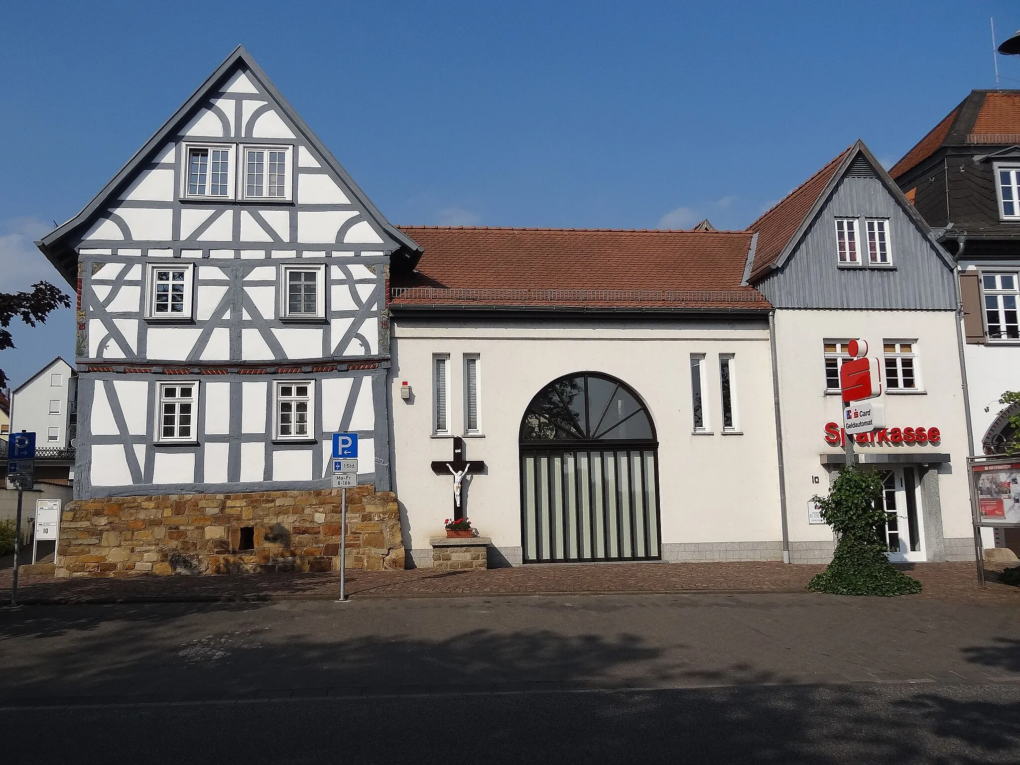
Hungen is a town in the Gießen region of Germany. The area around Hungen is a cyclist's paradise, with an extensive network of well-paved roads and picturesque routes that wind through forests, meadows, and charming villages. You can explore the beautiful natural scenery and enjoy the peaceful atmosphere while cycling in this area. Hungen is also known for hosting the annual Bergzeitfahren (mountain time trial) race, which attracts cyclists from all over the country. The race features a challenging climb up the nearby Münzenberg, offering an exhilarating experience for cycling enthusiasts.
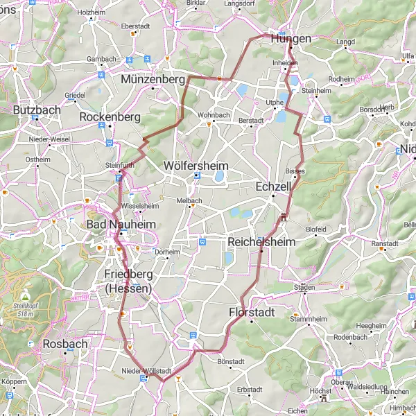
Embark on a gravel cycling adventure to explore the enchanting Schloß Bingenheim
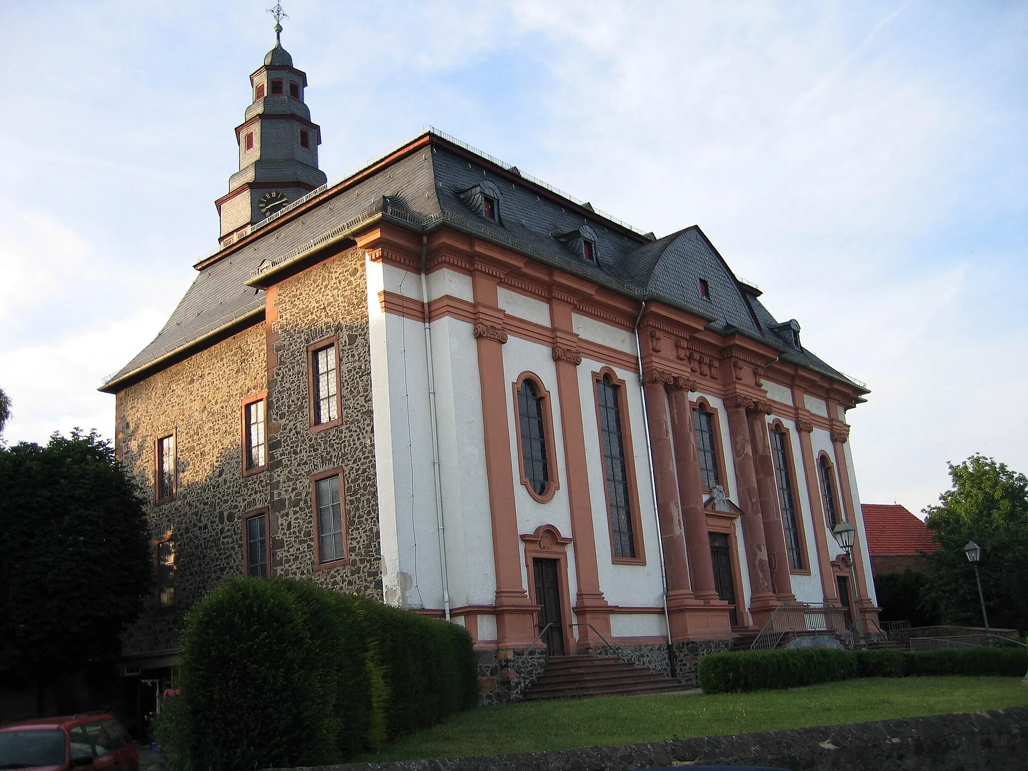
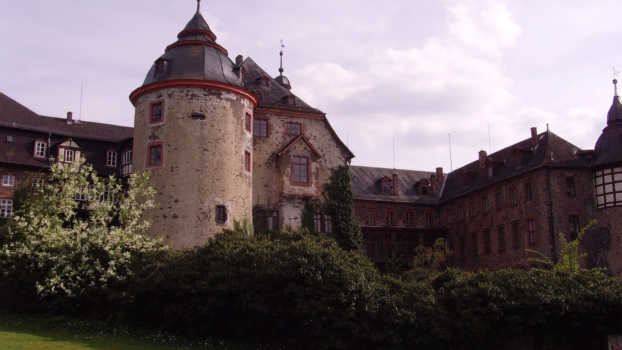
This gravel cycling route is ideal for exploring the charming Schloß Bingenheim and its surrounding areas. With a distance of 65 kilometers and an ascent of 357 meters, it offers a pleasant cycling experience suitable for all skill levels. Highlights along the route include Hungen, Schloß Bingenheim, Florstadt, Wetter Mündung Assenheim, Adolfsturm, Bad Nauheim, and Bellersheim. Hungen serves as the starting point, inviting you to explore its vibrant old town area and cultural attractions. Schloß Bingenheim enchants with its medieval architecture and beautiful gardens. Florstadt offers idyllic countryside landscapes and a tranquil atmosphere. Wetter Mündung Assenheim rewards with picturesque river views and lush greenery. Adolfsturm impresses with its panoramic vistas over the surrounding valleys. Bad Nauheim showcases a unique Art Nouveau architecture and a relaxing spa-town ambiance. Bellersheim invites you to rest and reflect amidst its peaceful natural surroundings. With its diverse highlights and scenic route, this gravel cycling adventure promises an unforgettable journey through the charm of Schloß Bingenheim.
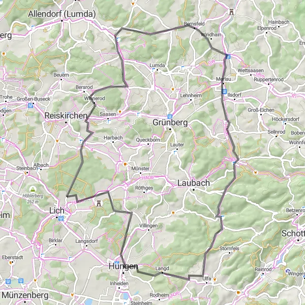
Embark on a road cycling adventure through beautiful villages near Hungen
This road cycling route takes you through charming villages near Hungen, providing a scenic and enjoyable experience. With a total distance of 76 kilometers and an ascent of 811 meters, this route offers a moderate challenge suitable for experienced amateurs. Explore Nonnenroth, Kühkopf, Weitershain, Merlau, Gaulskopf, and Langd along the way and admire the unique architectural styles and natural landscapes of each village. The route offers a mix of flat stretches and hilly terrain, allowing you to test your skills and enjoy the changing scenery. With its pleasant highlights and moderate difficulty level, this route promises a delightful journey for road cycling enthusiasts.
Embark on a captivating road tour through Büdingen and Wilder Stein.
This 111-kilometer road tour takes you on a captivating journey through Büdingen and Wilder Stein. With an ascent of 1610 meters, it offers a challenging adventure for well-trained amateur cyclists seeking a rewarding experience. The route showcases diverse landscapes, historical sites, and scenic viewpoints.
Embark on a challenging road cycling adventure through Laubach and Freiensteinau.
This 130-kilometer road loop takes you through the picturesque towns of Laubach and Freiensteinau. With an ascent of 1876 meters, it is suitable for well-trained amateur cyclists seeking a challenging ride. The route encompasses beautiful landscapes and historic landmarks.
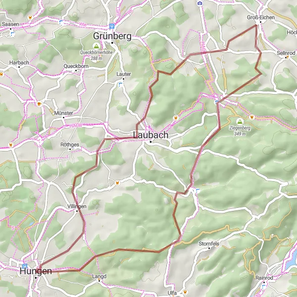
Experience the beauty of Villingen and Ramsberg through this gravel loop.
This 48-kilometer gravel loop allows you to experience the scenic beauty of Villingen and Ramsberg. With an ascent of 697 meters, it provides a moderate challenge suitable for well-trained amateur cyclists. The route takes you through picturesque landscapes and cultural landmarks.
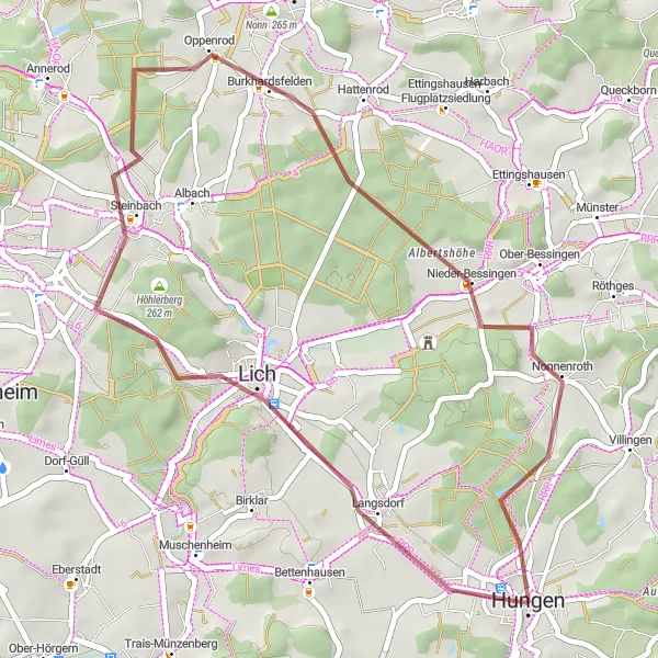
Explore the gravel paths and visit historic Lich and Nieder-Bessingen.
This 38-kilometer gravel ride takes you through scenic routes and allows you to explore the historic towns of Lich and Nieder-Bessingen. With an ascent of 281 meters, it is suitable for well-trained amateur cyclists looking for a moderate challenge.
Embark on a scenic road cycling adventure through the charming village of Gonterskirchen
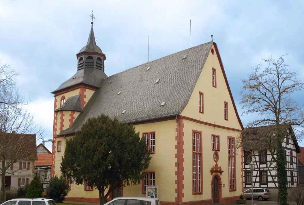
This road cycling route offers a delightful journey through the picturesque village of Gonterskirchen. With a distance of 52 kilometers and an ascent of 755 meters, it is suitable for well-trained amateur cyclists seeking a moderate challenge. Discover the highlights along the route, including Eichberg, Gonterskirchen, Auerberg, Steinbruch Michelnau, Nidda, and Rodheim, each offering unique attractions and scenic landscapes. Enjoy the tranquil atmosphere of Gonterskirchen with its charming buildings and beautiful surroundings. The route provides a mix of flat stretches and rolling hills, ensuring an enjoyable and diverse cycling experience. With its moderate difficulty level and captivating highlights, this road cycling route promises a memorable adventure for all cyclists.
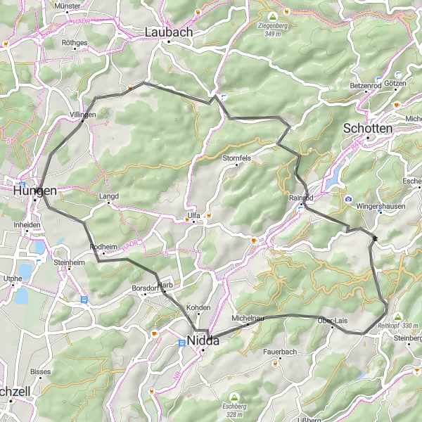
Explore Naturparadies Villingen
Discover the natural paradise of Villingen through gravel cycling
Immerse yourself in the natural beauty of Villingen on this gravel cycling route. With a total distance of 62 kilometers and an ascent of 810 meters, it offers a refreshing adventure for cycling enthusiasts. Highlights along the route include Villingen, Grünberg, Wartturm, Kirschgarten, Freienseen, Gaulskopf, and Kurt-Bach-Hütte, each providing unique attractions and scenic landscapes. Villingen is a hidden gem, known for its idyllic charm and stunning hiking trails. Grünberg offers picturesque views and an opportunity to explore the ruins of an ancient castle. Wartturm is a historical landmark with a panoramic view over the surrounding nature reserve. Enjoy the peaceful ambiance of Kirschgarten, surrounded by lush greenery and wildlife. Freienseen captivates with its clear lakes and tranquil atmosphere. Gaulskopf rewards with panoramic vistas, while Kurt-Bach-Hütte provides a cozy resting spot to relax amidst nature's tranquility. With its beautiful highlights and moderate difficulty level, this gravel cycling route promises an unforgettable journey through the natural paradise of Villingen.

Embark on a road cycling adventure through Münzenberg and Hungen.
This 55-kilometer road adventure takes you through the historic towns of Münzenberg and Hungen. With an ascent of 345 meters, it is suitable for well-trained amateur cyclists seeking a moderate challenge. The route showcases the beauty of the region and allows you to explore cultural heritage.
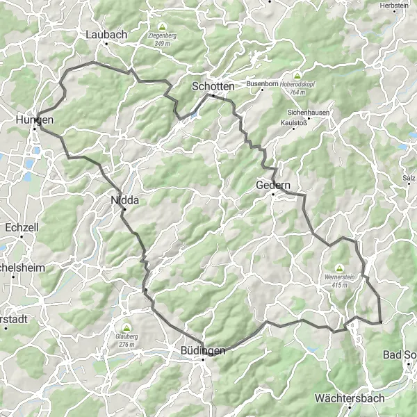
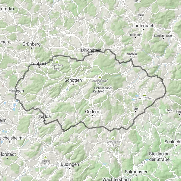
Embark on a scenic cycling journey through the picturesque Hungen region
The Hungen region offers stunning natural landscapes and historical landmarks, making it a perfect destination for cycling enthusiasts. This route provides a great mix of gravel terrain and challenging ascents, ensuring an adventure-filled trip. Enjoy the highlights along the way, including Stornfels, Spies, Taufstein, Unter-Schmitten, and Hungen, as you navigate through 71 kilometers of varied terrain. This route is suitable for well-trained amateurs and offers a moderate difficulty level. With its unique scenery and opportunity to explore distinct highlights, this route promises a memorable cycling experience.
Cycling routes nearby:

Nearby regions: