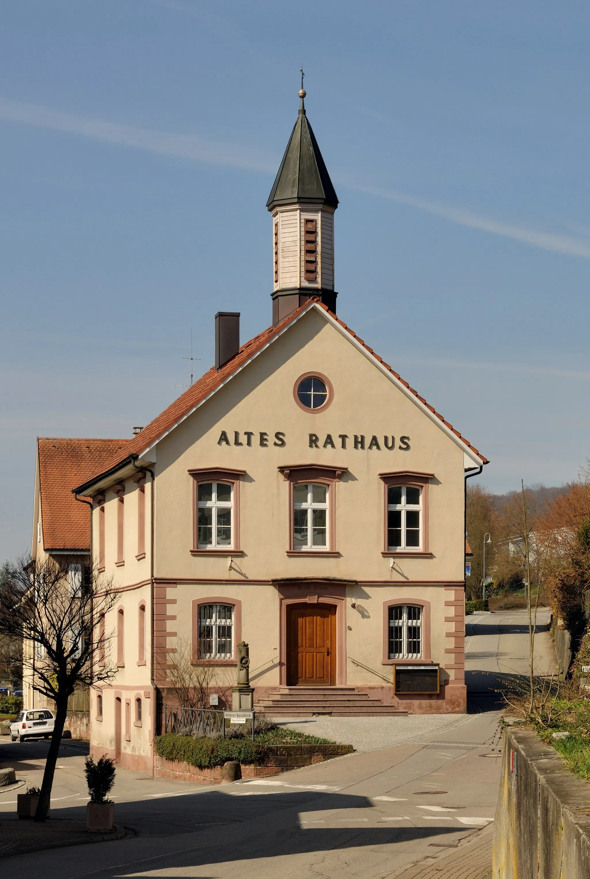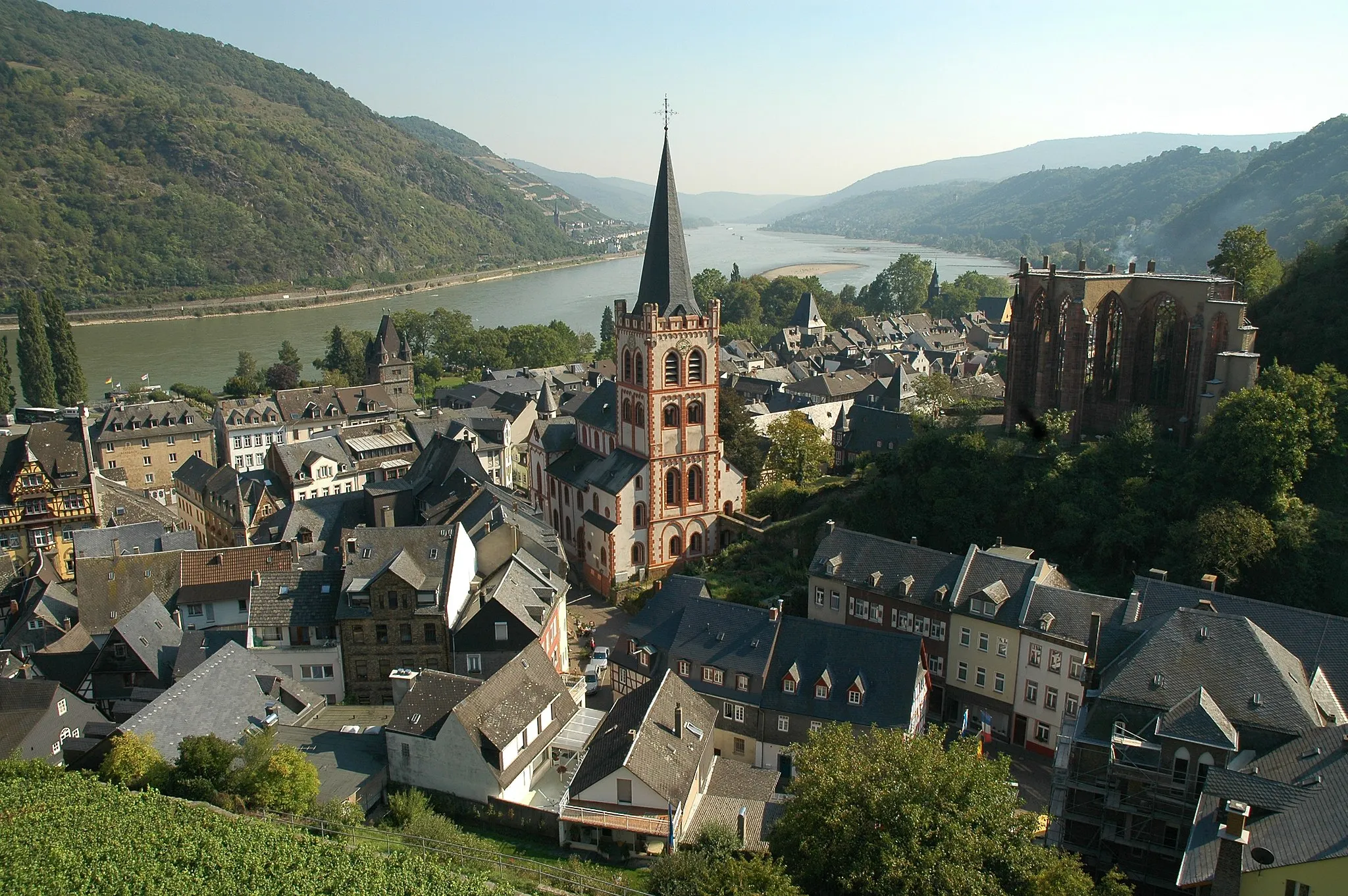
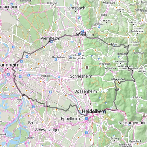
Cycling through tranquil nature in Heiligkreuzsteinach, Germany.
Cycling routes from Heiligkreuzsteinach
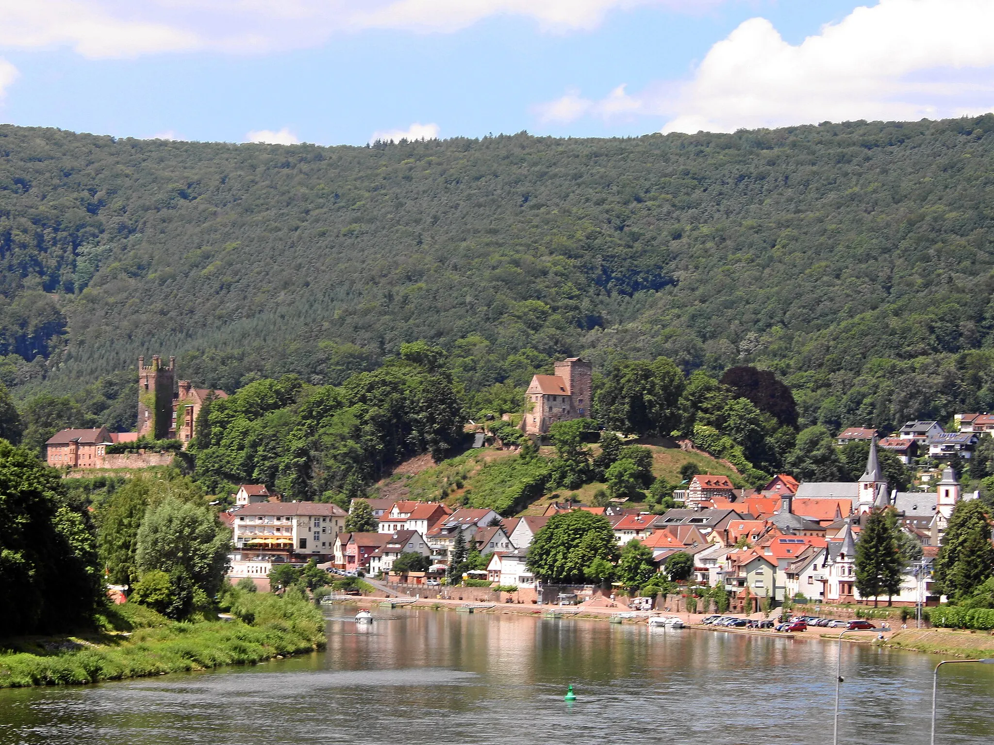
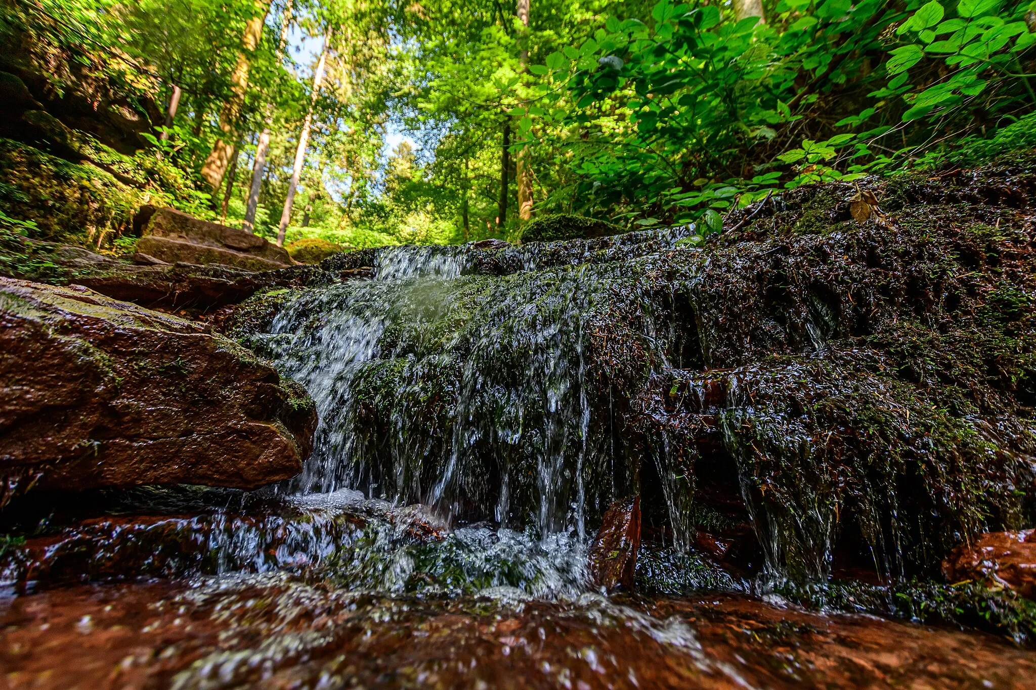
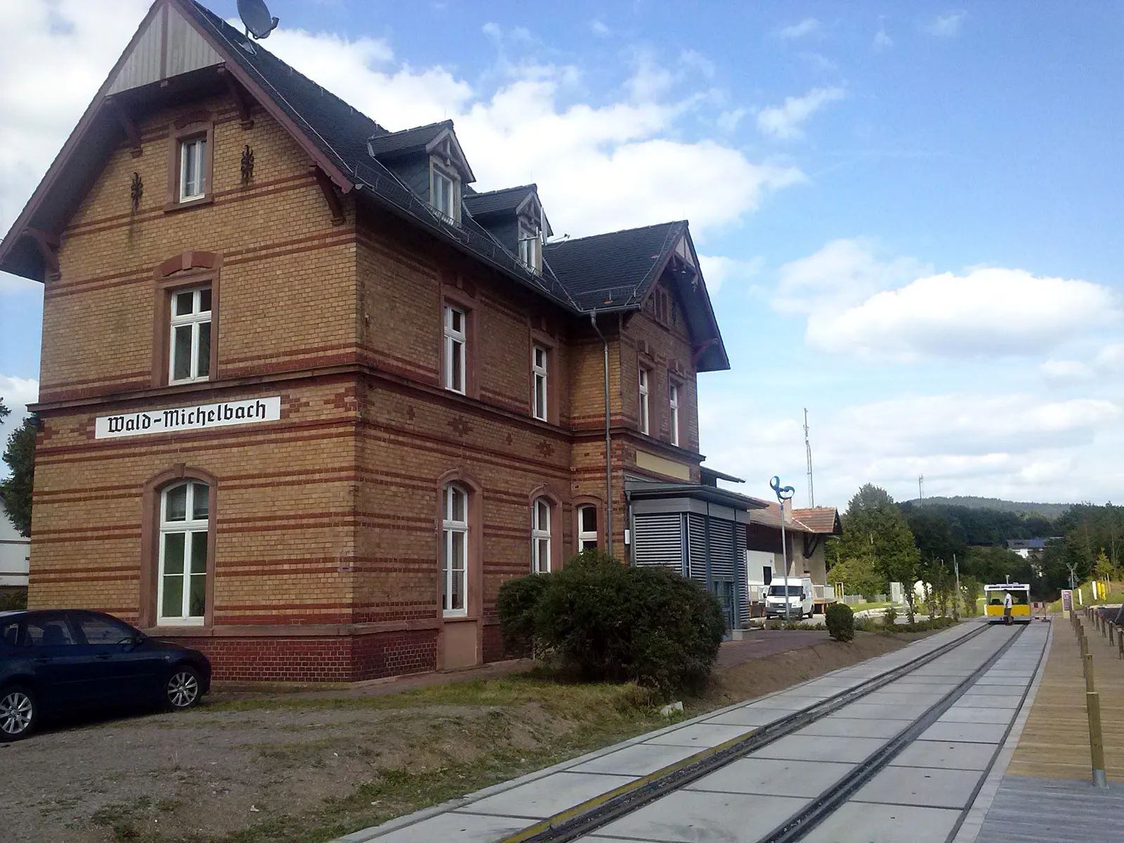
Heiligkreuzsteinach, located in Germany's Karlsruhe region, provides a pleasant cycling experience with its peaceful countryside and well-preserved nature. The area is characterized by lush forests, rolling hills, and idyllic villages, making it a captivating destination for road and gravel cyclists. While Heiligkreuzsteinach may not be home to famous cycling-related spots or renowned climbs, its scenic landscapes and interconnected road network offer numerous possibilities for riders of all levels. Overall, Heiligkreuzsteinach is a wonderful locality for nature-loving cyclists seeking a tranquil cycling experience.
Experience the beauty of Handschuhsheim and Eichelberg on this gravel route
This gravel route covers a distance of 38 km and involves an ascent of 875 m, providing cyclists with a challenging and rewarding adventure. The route takes you through the picturesque towns of Handschuhsheim and Eichelberg, offering breathtaking views of the surrounding natural landscapes. Highlights along the route include the Schriesheimer Kopf, Teltschikturm, Handschuhsheim, Schriesheim, Eichelberg, and Heiligkreuzsteinach. Handschuhsheim is known for its charming alleys and historical buildings. Eichelberg is a scenic hill that offers a challenging climb and rewards you with stunning vistas. Cyclists will also pass through Schriesheim, a town with a rich cultural heritage, and finally reach Heiligkreuzsteinach, a peaceful village surrounded by nature.
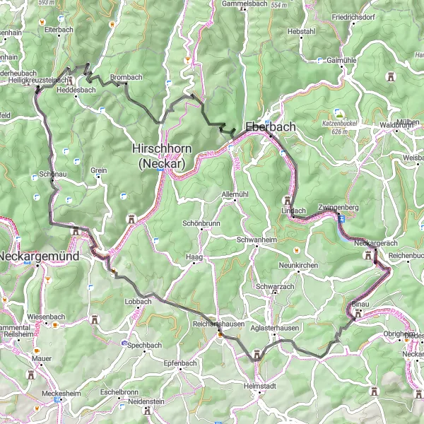
Embark on a thrilling gravel adventure winding through stunning natural landscapes.
This gravel route leads you on an exhilarating journey through serene nature, weaving its way along gravel paths. With moderate difficulty and a shorter distance, it is ideal for gravel enthusiasts seeking excitement amidst lush surroundings.
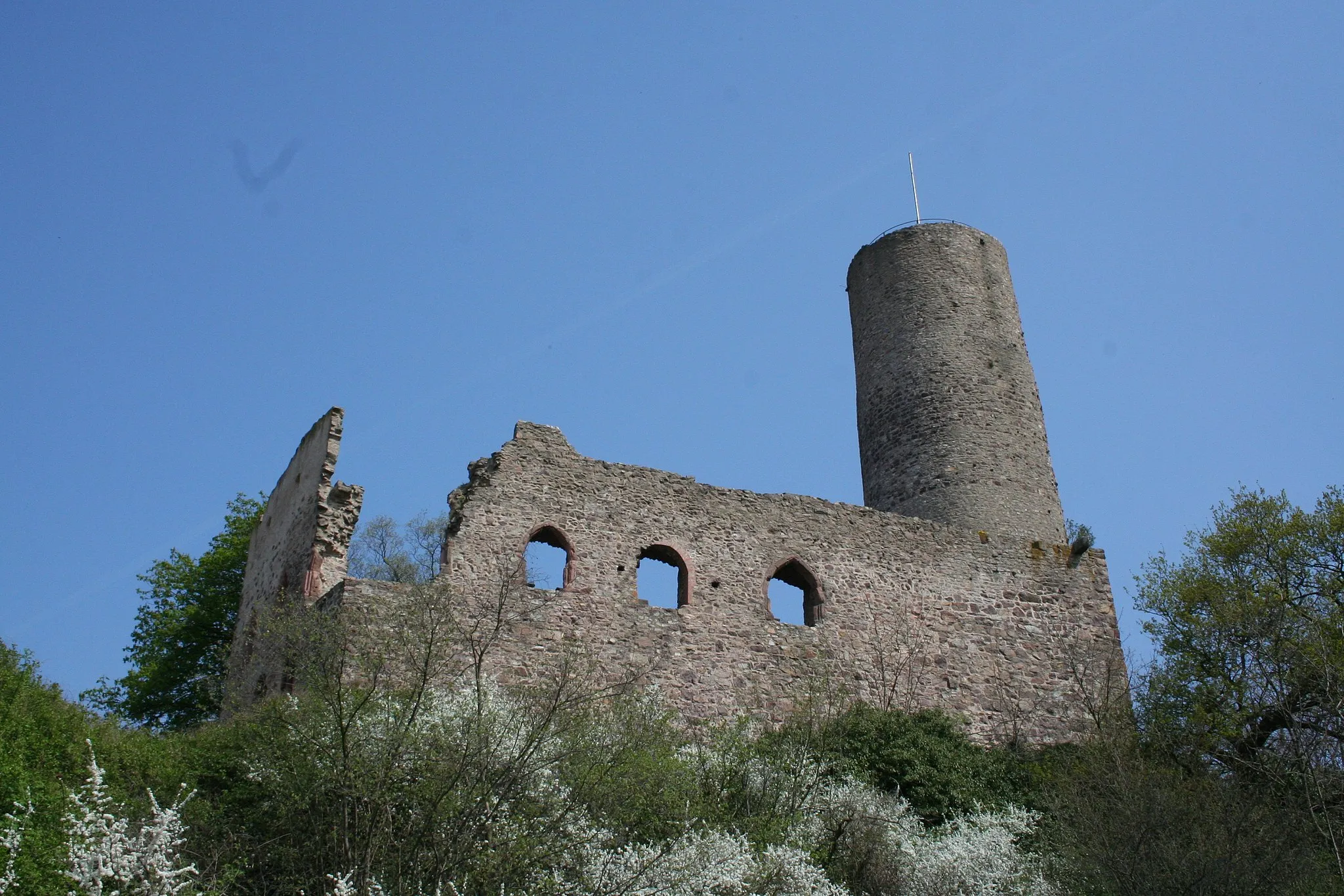
Experience the rugged charm of gravel roads while exploring the historic Burg Waldeck.
This gravel route takes you through picturesque landscapes and offers stunning views, culminating in a visit to the majestic Burg Waldeck. With a manageable ascent and distance, it is suitable for experienced amateurs looking for an adventurous ride.
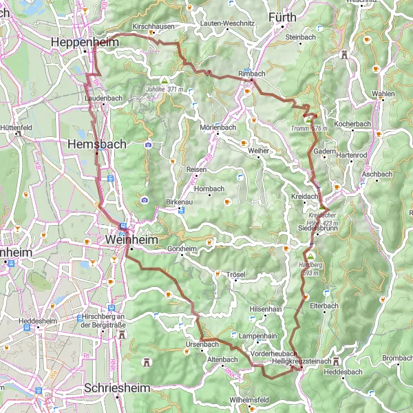
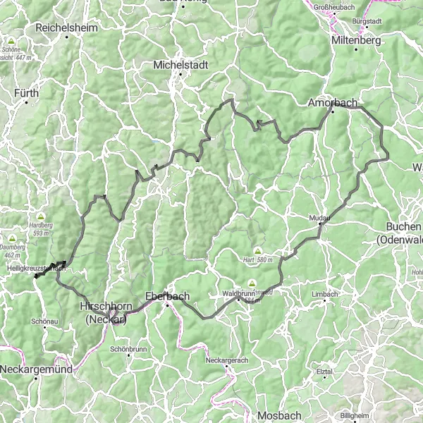
Embark on an adventurous gravel route through Hirschberg and Ladenburg
This gravel route spanning 80 km and ascending 1329 m takes you through the scenic towns of Hirschberg and Ladenburg. Offering a challenging yet rewarding experience, this route is ideal for adventurous cyclists. The highlights along the way include the Schriesheimer Kopf, Teltschikturm, Hirschberg, Nußloch, Oftersheim, Ladenburg, Hohe Waid, and Heiligkreuzsteinach. Hirschberg is known for its picturesque setting amidst vineyards and historical landmarks. Ladenburg is a charming town with a rich history dating back to Roman times. The route is peppered with scenic viewpoints and interesting attractions that make for an unforgettable cycling experience.
Discover the perfect combination of thrilling road sections and peaceful natural beauty.
This road cycling route offers a mix of thrilling climbs and descents, together with serene landscapes and pristine nature. With moderate difficulty and a moderate distance, it is suitable for cyclists looking for a balanced and enjoyable ride in a picturesque setting.
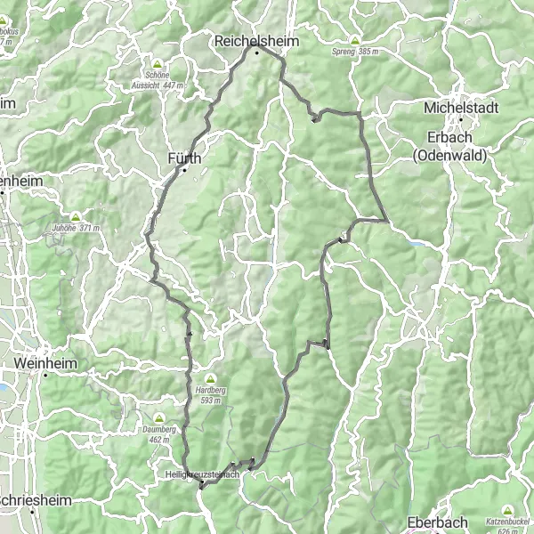
Discover Unter-Abtsteinach and Menschenkopf on this scenic road route
This road route takes you through the beautiful towns of Unter-Abtsteinach and Menschenkopf, providing stunning views of the surrounding landscapes. With a distance of 77 km and an ascent of 1376 m, this route is suitable for experienced cyclists looking for a challenging ride. Highlights along the route include Unter-Abtsteinach, Hemgesberg, Mühlberg, Unter-Ostern, Unter-Mossau, Menschenkopf, and Heiligkreuzsteinach. Unter-Abtsteinach is a charming town surrounded by nature, offering tranquility and breathtaking vistas. Hemgesberg is known for its beautiful cherry blossom trees and provides a serene atmosphere. The Mühlberg offers scenic viewpoints and is a popular spot among hikers. Cyclists will also pass through Unter-Ostern, Unter-Mossau, and finally reach Menschenkopf, which offers panoramic views and peaceful landscapes.
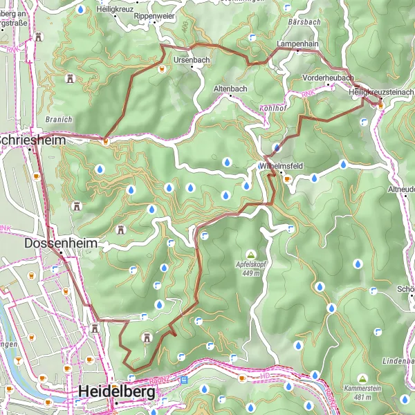
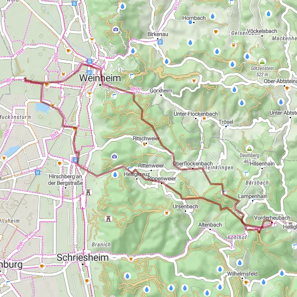
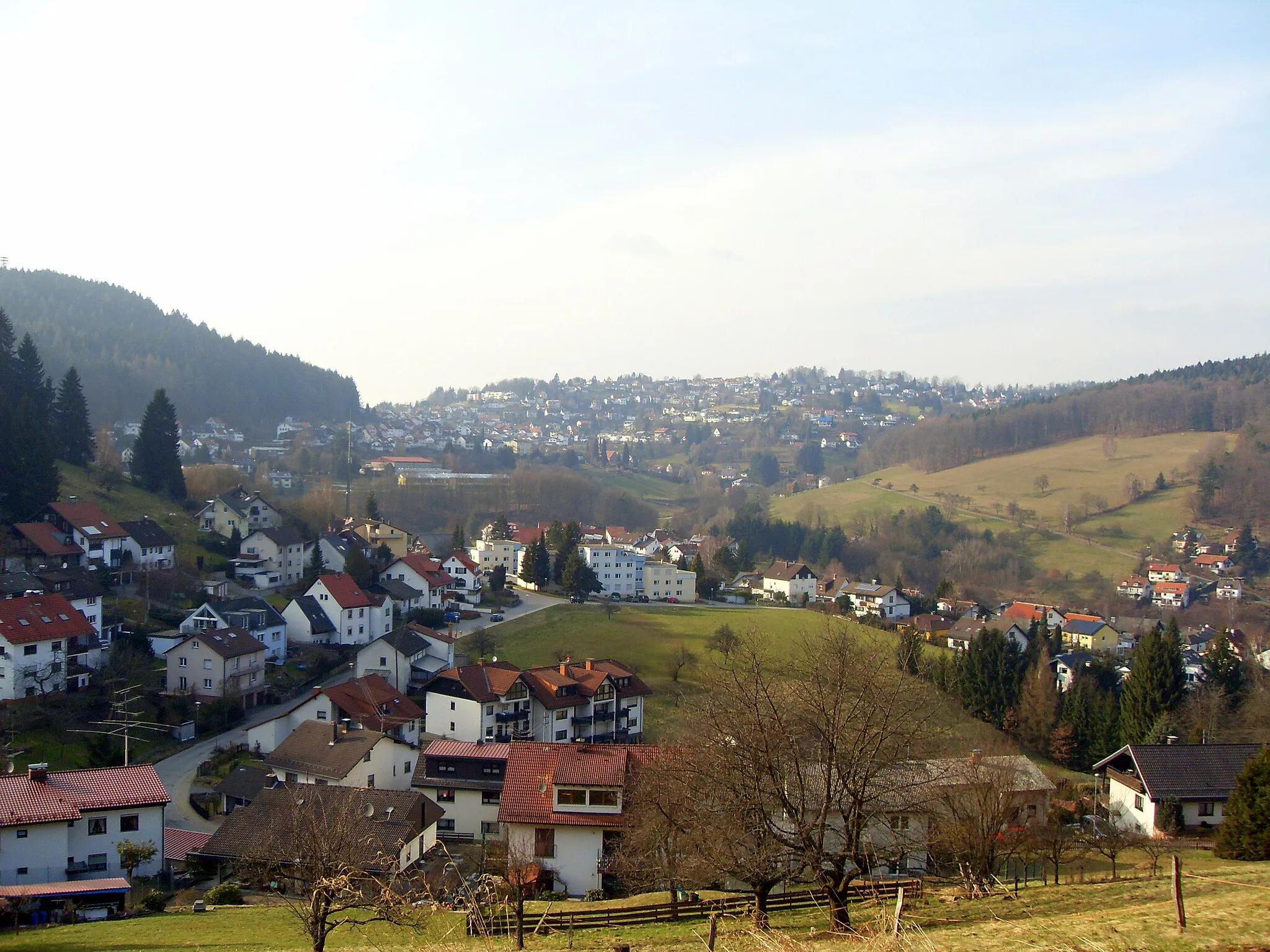
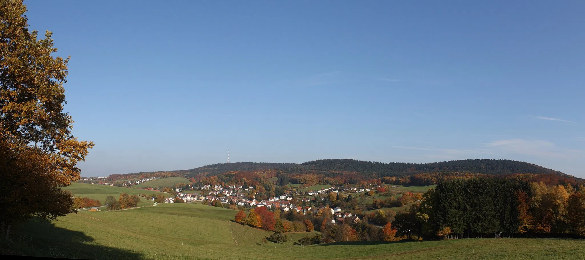
Explore the scenic landscapes of Schriesheim and Lampenhain on this gravel route
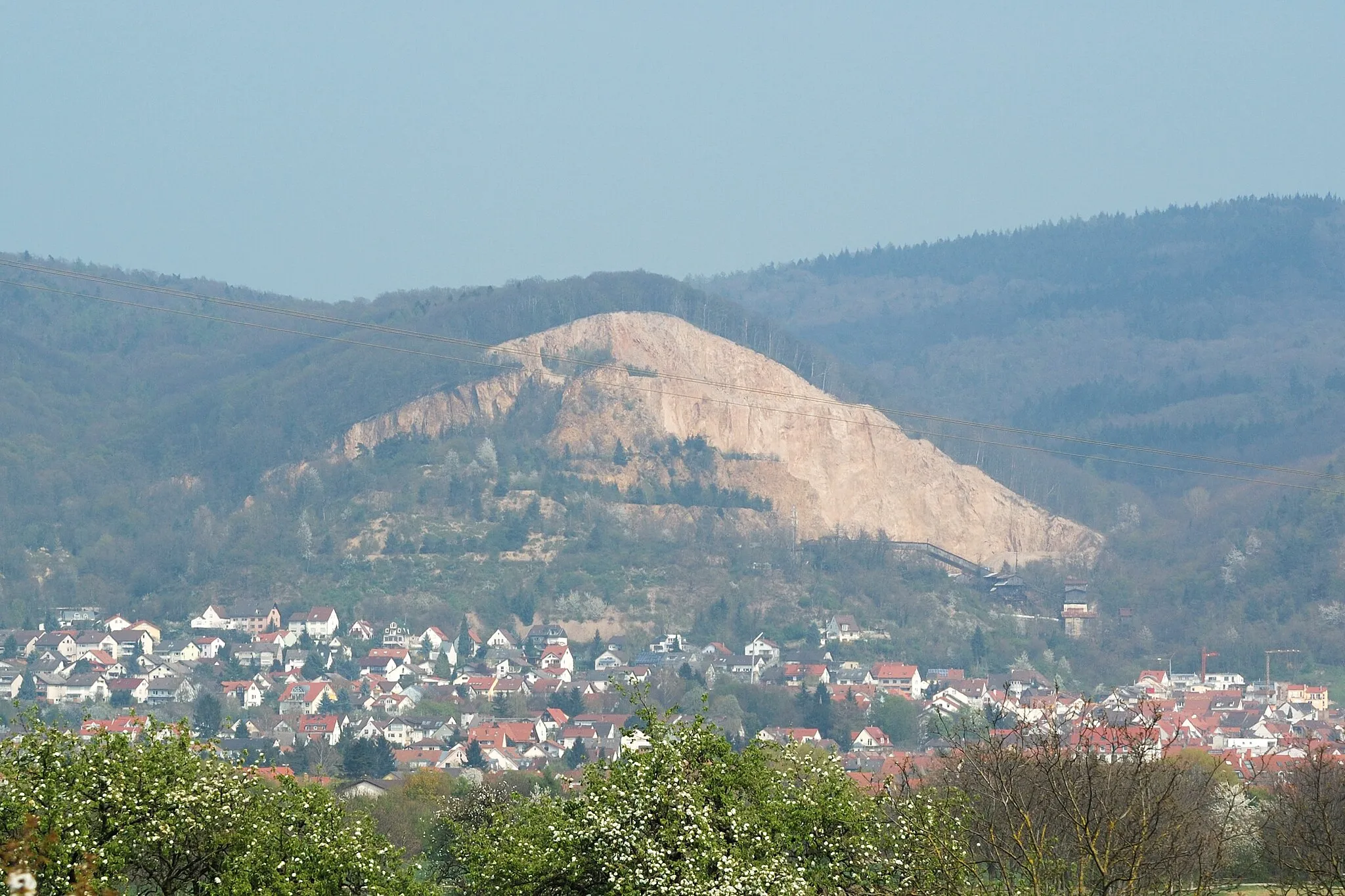
This gravel route takes you through the picturesque landscapes of Schriesheim and Lampenhain. With a distance of 36 km and an ascent of 856 m, it offers a challenging but rewarding cycling experience. The highlights along the route include the Schriesheimer Kopf, Teltschikturm, Meriankanzel, and Lampenhain. The Schriesheimer Kopf is a lookout point offering stunning views of the surrounding nature. Teltschikturm is a historic tower that provides panoramic views of the region. The Meriankanzel is a viewpoint named after the Swiss botanist Johann Rudolf Schmid von Merian. Lampenhain is a quaint village with idyllic scenery and charming old buildings.
Embark on an epic road journey highlighting some of the most breathtaking landscapes in the region.
This road cycling route takes you on a scenic adventure through diverse landscapes, showcasing stunning viewpoints and charming villages. With a challenging ascent and a longer distance, it is recommended for experienced cyclists looking for an unforgettable journey.
Embark on a journey through the countryside, cycling amidst historic landmarks and charming villages.
This road cycling route takes you on an enchanting journey through picturesque countryside, passing by historic landmarks and captivating villages. With manageable difficulty and a longer distance, it offers the perfect blend of cultural heritage and natural beauty.
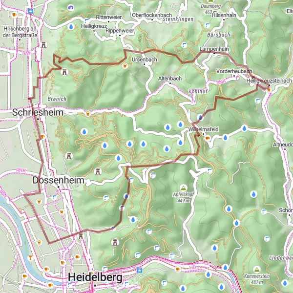
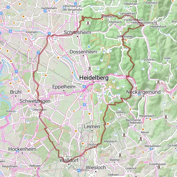
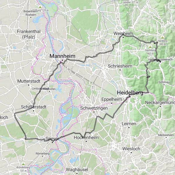
Embark on an epic road route through Wilhelmsfeld and Unter-Flockenbach
This road route covers a distance of 81 km and involves an ascent of 761 m, making it a moderate yet rewarding cycling adventure. The route takes you through the scenic towns of Wilhelmsfeld and Unter-Flockenbach, offering stunning views and interesting attractions along the way. Highlights include Wilhelmsfeld, Wilckensfels, Wieblingen, Neckarau, Fernmeldeturm, Bergfried, Unter-Flockenbach, and Heiligkreuzsteinach. Wilhelmsfeld is known for its beautiful surroundings and hiking trails. Wilckensfels is a lovely rock formation that attracts climbers and nature enthusiasts. The route passes through Wieblingen, a historic town with charming architecture. Cycists can also enjoy the panoramic views offered by Neckarau's Fernmeldeturm and Unter-Flockenbach.
Cycling routes nearby:

Nearby regions: